 Block
Block
Wauwinet, Massachusetts
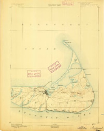
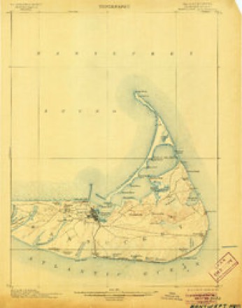
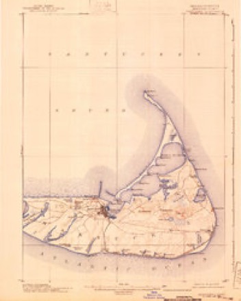
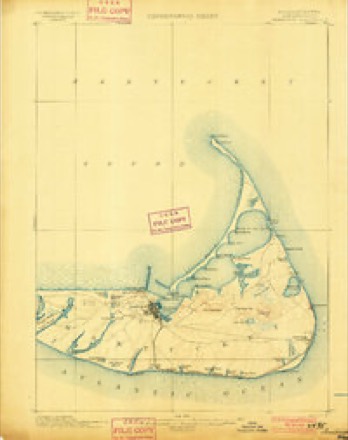
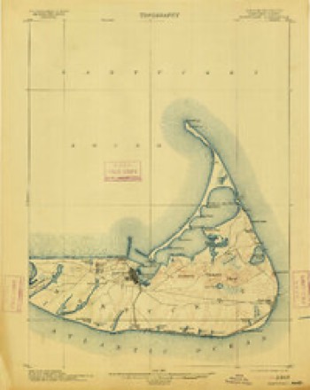
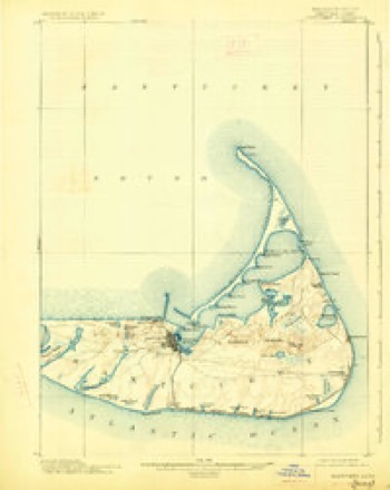
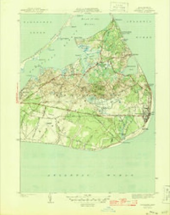
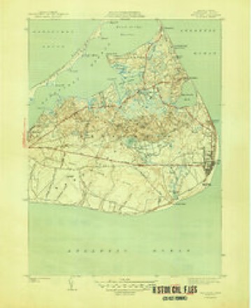
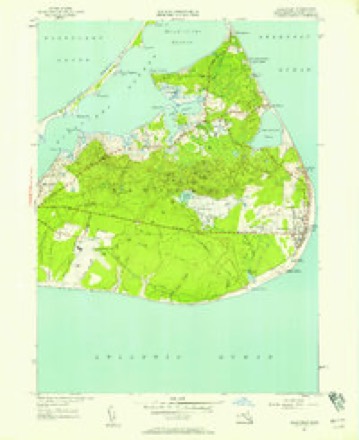
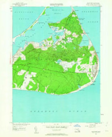
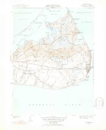
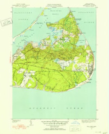
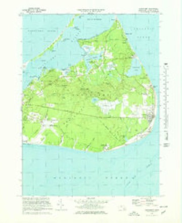
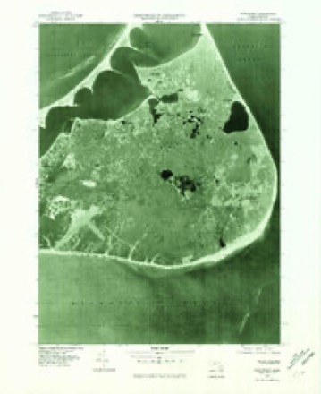
31 topographic sheets cover this place, the earliest surveyed in 1889 and the latest in 1994. It stands in Nantucket town. It lies in ZIP code area 02554. It sits by Squam Head. The Survey maps it on the Siasconset OE E quadrangle. It stands 10 feet above sea level.
Then and now
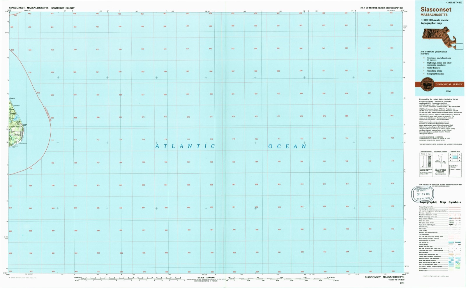
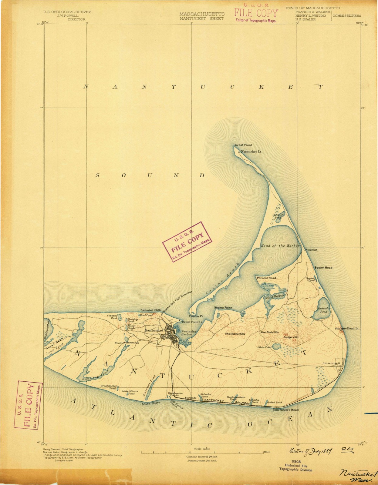
1889 to 1994The same ground, surveyed 105 years apart. Drag the handle to wipe between them. Both sheets are United States Geological Survey originals; neither has been altered.
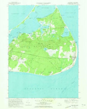
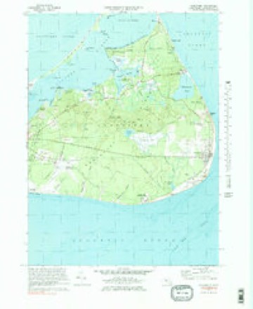
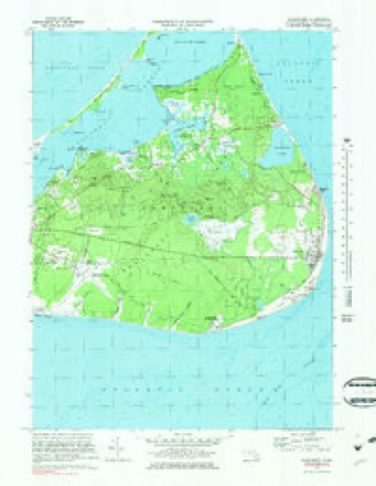
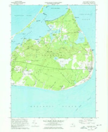
Topographic sheets covering this place
31 sheetsMatched by testing this settlement's coordinate against the published boundary of every sheet in the United States Geological Survey's historical collection. Each opens the scanned sheet at the Survey.
- 1889 USGS Nantucket quadrangle1:62500
- 1893 USGS Nantucket quadrangle1:62500
- 1893 USGS Nantucket quadrangle1:62500
- 1901 USGS Nantucket quadrangle1:62500
- 1901 USGS Nantucket quadrangle1:62500
- 1901 USGS Nantucket quadrangle1:62500
- 1901 USGS Nantucket quadrangle1:62500
- 1901 USGS Nantucket quadrangle1:62500
- 1945 USGS Siasconset quadrangle1:31680
- 1945 USGS Siasconset quadrangle1:31680
- 1947 USGS Providence quadrangle1:250000
- 1947 USGS Providence quadrangle1:250000
- 1947 USGS Providence quadrangle1:250000
- 1947 USGS Providence quadrangle1:250000
- 1947 USGS Providence quadrangle1:250000
- 1948 USGS Providence quadrangle1:250000
- 1951 USGS Siasconset quadrangle1:24000
- 1951 USGS Siasconset quadrangle1:24000
- 1951 USGS Siasconset quadrangle1:31680
- 1951 USGS Siasconset quadrangle1:31680
- 1957 USGS Providence quadrangle1:250000
- 1958 USGS Providence quadrangle1:250000
- 1963 USGS Providence quadrangle1:250000
- 1972 USGS Siasconset quadrangle1:24000
- 1972 USGS Siasconset quadrangle1:25000
- 1972 USGS Siasconset quadrangle1:25000
- 1972 USGS Siasconset quadrangle1:24000
- 1972 USGS Siasconset quadrangle1:25000
- 1977 USGS Siasconset quadrangle1:25000
- 1986 USGS Siasconset quadrangle1:100000
- 1994 USGS Siasconset quadrangle1:100000









In the county-history sources
17,013 words on this townshipIllustrated Martha's Vineyard, Nantucket, Taunton, New Bedford, Fall River; a Guide and Souvenir to the Famous Resorts and Noted Cities of Southeastern Massachusetts, with Maps, List of Hotels, Rates, Time-tables, Etc, published 1889 names this settlement in its chapter on Nantucket Town. These are the passages that mention it, exactly as the scans read.
Nantucket is the name of a county, a township, an island, and a town. As a county and a township it is the same, embracing the main island, Tuckernuck, Muskeget, the two Gravelly Islands, and, when cut off by the sea, Smith's Point Island. On the island is the town itself, the village of Siasconset, the summer resorts of Surfside and Wauwinet, and many separately named localities or districts, as Coatue, Squam, Quaise, Polpis, North Pasture, Middle Pasture, and South Pasture, the Plains, Maddequet, and Great Neck.
Passage source: Illustrated Martha's Vineyard, Nantucket, Taunton, New Bedford, Fall River; a Guide and Souvenir to the Famous Resorts and Noted Cities of Southeastern Massachusetts, with Maps, List of Hotels, Rates, Time-tables, Etc, published 1889.
One of the chief attractions of the old town is the South Church Tower, not so much for itself as for the view to be obtained from it, Here spread out before you are charming and magnificent views of sea, harbor, and shore, the old houses of the town, the broad substantial mansions of fifty years ago, with the lighter and more fanciful ones of modern construction. |The numerous fishing and pleasure boats and yawls that gather about the wharves, buildings now unused that were connected with the industries of the whale fishery, the railroad winding across the meadows, the steamers coming from or going to the Vineyard, the daily line of pleasure boats skimming the harbor to Wauwinet - all this moving panorama, especially if the day is clear, will repay you a hundred times for your visit and the climb up the stairs. This tower was constructed in 1795, and the bell hung in 1800. If you wish to know the history of the bell you will find it in good print in a frame on the stairway, and any of the town criers, who may be found in their rooms in this tower, will gladly inform you in regard to any mooted point. The tower is usually open and is free to the public, although a small gratuity to the care-taker is usually customary. All the principal buildings can be easily discerned from this outlook. Northward is the square tower of the Congregational Church ; near it a little to the westward is the bulk of the High School; eastward are the Veranda and Springfield houses, two of the largest of the hotels. To the northeast is Brant Point, with its lighthouse, cottages, and hotel, while between it and the observer are all the wharves and the harbor, the whole very sharply defined. Stretching away in the distance is the long harbor and its natural breakwater, the peninsula of Coatue, every curve and sinuosity of its shores clearly discernible. Westward and southward is the principal part of the old town, almost due south, the old wind-mill being a conspicuous object, while beyond, in the outskirts, are seen the various graveyards, and further away, the low hills and glimpses of the ponds in the western portion of the island. A very conspicuous object to the northwest is the standpipe of the water-works.
Passage source: Illustrated Martha's Vineyard, Nantucket, Taunton, New Bedford, Fall River; a Guide and Souvenir to the Famous Resorts and Noted Cities of Southeastern Massachusetts, with Maps, List of Hotels, Rates, Time-tables, Etc, published 1889.
Machine-read from a century-old scan, so expect the errors a machine makes: misspelled names, dropped words, stray characters.
Fires near this place
4 since 2005Regional context, not property-specific evidence. The federal wildfire occurrence database lists 4 fires within 5 miles of Wauwinet between 2005 and 2017, burning about 2 acres in total. None started naturally. 3 were recorded as arson. Distance is straight-line from the map coordinates, so a fire counted here may appear on a neighbouring settlement's page as well.
| Reported cause | Fires |
|---|---|
| Arson/incendiarism | 3 |
| Missing data/not specified/undetermined | 1 |
The most recent of them, most recent first, with the day each was reported and the service that recorded it.
| Date | Cause | Size | Reported by | Name on the report |
|---|---|---|---|---|
| 20 August 2005 | Arson/incendiarism | under an acre | Massachussetts State Fire Marshal's Office | not named |
| 22 July 2005 | Arson/incendiarism | 1.0 acres | Massachussetts State Fire Marshal's Office | not named |
| 8 May 2017 | Missing data/not specified/undetermined | under an acre | Massachusetts Bureau of Forest Fire Control | not named |
| 23 April 2017 | Arson/incendiarism | under an acre | Massachusetts Bureau of Forest Fire Control | not named |
Settlements close enough to share some of these fires:
Specimens collected near this place
12 of 4,027 shownRegional context, not property-specific evidence. Museums hold 4,027 specimens collected within 10 miles of Wauwinet between 1825 and 1974: 2,653 Plantae, 854 Animalia, 382 Fungi, 110 Chromista, 21 Unrecorded, 7 Bacteria. 12 distinct Species records are shown. Collected by A AND P STARRETT, A. B. Seymour, A. Cohen and others. Each is a physical object with a catalogue number, and each entry opens the museum's record. This is what was collected and kept, not a survey of what lives here - nothing can be concluded from a species being absent.
| Image | Species | Year | Collected by | Where, as recorded |
|---|---|---|---|---|
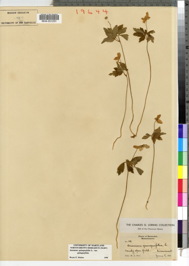 | Anemone quinquefolia L. | 1900 | M. A. Day | |
 | Rumex maritimus var. fueginus (Phil.) Dusén | 1825 | Collector unspecified | Martha's Vineyard. Block Id. |
 | Chrysopsis falcata (Pursh) Elliott | 1827 | F. A. Greene | |
 | Platanthera flava (L.) Lindl. | 1827 | T. A. Greene | Nantucket. |
| Desmodium rigidum (Elliott) DC. | 1829 | Oakes | ||
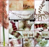 | Ceramium cimbricum H.E.Petersen | 1831 | not recorded | Nantucket. |
 | Gloeosporium polygoni Dearn. & House | 1836 | Guba E. F. | Nantucket Co. Cultivated Fields on Hummock Rd. |
| Chondria dasyphylla (Woodward) C.Agardh | 1848 | M. L. Owen | ||
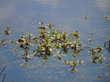 | Ludwigia palustris (L.) Elliott | 1849 | J. L. Russell | |
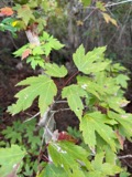 | Acer rubrum L. | 1899 | Nellie F. Flynn | |
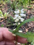 | Aletris farinosa L. | 1899 | Flynn, N. F. | Nantucket |
| Ambrosia artemisiifolia L. | 1899 | Nellie F. Flynn |
All 4,027 specimens within 10 miles, at the Global Biodiversity Information Facility.
Nearest settlements
The eight closest, with where each one stands in the county. Distances are straight-line, computed from the Geographic Names Information System coordinates.
| Map | Place | Distance | Sheets |
|---|---|---|---|
| Chadwicks Folly | 0.7 miles | 31 | |
| Squam | 0.9 miles | 31 | |
| Pocomo | 1.7 miles | 32 | |
| Quidnet | 1.9 miles | 31 | |
| Coskata | 2.1 miles | 30 | |
| Polpis | 2.3 miles | 32 | |
| Hoicks Hollow | 3.2 miles | 31 | |
| Quaise | 3.2 miles | 32 |
Elsewhere
Matched on this settlement's Geographic Names Information System number rather than its name, so it cannot be a different place of the same name in another state.
| Wikipedia article on Wauwinet | An encyclopaedic summary. Its text is share-alike, so it is linked here rather than copied. |
| Wikidata item Q7975242 | The structured record the population and elevation above come from. Public domain (CC0). |
Provenance
This settlement is recorded in the Geographic Names Information System as feature 616971. The sheet list is computed by point-in-boundary test against the United States Geological Survey's historical topographic inventory. Both are works of the United States government and carry no copyright under 17 U.S.C. 105.
Wildfire. Short, Karen C. 2022. Spatial wildfire occurrence data for the United States, 1992-2020 [FPA_FOD_20221014]. 6th Edition. Fort Collins, CO: Forest Service Research Data Archive. https://doi.org/10.2737/RDS-2013-0009.6 Collected with United States Government funding and usable without additional permissions or fees.
Specimens. Global Biodiversity Information Facility (GBIF), https://www.gbif.org/. Only records licensed CC0 or CC BY are used. Records licensed CC BY-NC are excluded because this site carries advertising. Images are checked individually and any whose licence is non-commercial, no-derivatives or unreadable is refused.