 Block
Block
West Jefferson, Ohio
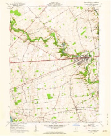
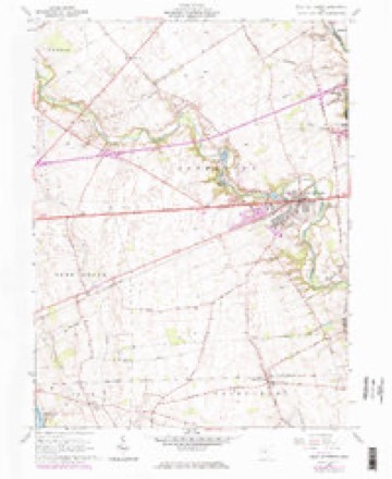
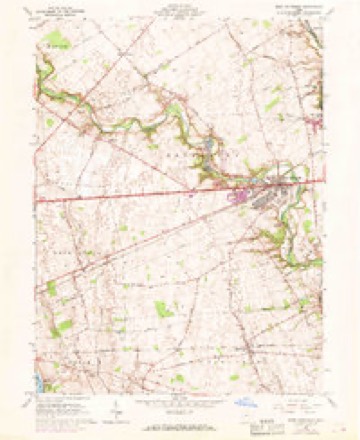
13 topographic sheets cover this place, the earliest surveyed in 1907 and the latest in 1986. It stands in Jefferson Township. It lies in ZIP code area 43162. The Survey maps it on the West Jefferson quadrangle.
Then and now
1907 to 1986The same ground, surveyed 79 years apart. Drag the handle to wipe between them. Both sheets are United States Geological Survey originals; neither has been altered.

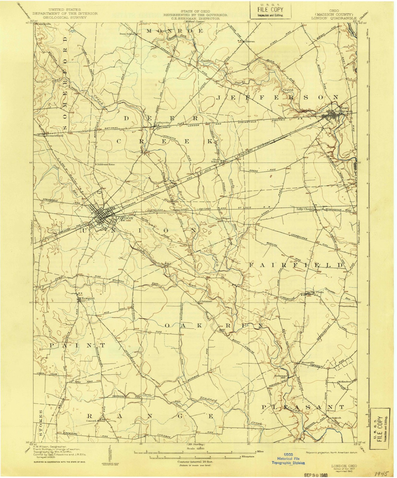
Topographic sheets covering this place
13 sheetsMatched by testing this settlement's coordinate against the published boundary of every sheet in the United States Geological Survey's historical collection. Each opens the scanned sheet at the Survey.
- 1907 USGS London quadrangle1:62500
- 1907 USGS London quadrangle1:62500
- 1947 USGS Columbus quadrangle1:250000
- 1961 USGS Columbus quadrangle1:250000
- 1961 USGS West Jefferson quadrangle1:24000
- 1961 USGS West Jefferson quadrangle1:24000
- 1961 USGS West Jefferson quadrangle1:24000
- 1961 USGS West Jefferson quadrangle1:24000
- 1962 USGS Columbus quadrangle1:250000
- 1967 USGS Columbus quadrangle1:250000
- 1967 USGS Columbus quadrangle1:250000
- 1986 USGS Springfield quadrangle1:100000
- 1986 USGS Springfield quadrangle1:100000







What happened here
An account from the chapter on Jefferson township, The inset identifies its exact source book and publication year.
The Sickly Seasons Of 1822-23
In 1873-74 a series of articles were contributed to the Plain City Press by Dr. Jeremiah Converse, of Darby township, in one of which he gives the following' graphic description of the malarial epidemic that spread desolation over the eastern part of Madison county sixty years ago. He says: "In 1822-23 this country was visited with a terrible epidemic, which struck down many of the hardy pioneers and laid them low in the dust.
In the county-history sources
19,055 words on this townshipHistory of Madison County, Ohio : Its People, Industries and Institution with Biographical Sketches of Representative Citizens and Genealogical Records of Many of the Old Families, published 1915 names this settlement in its chapter on Jefferson Township. These are the passages that mention it, exactly as the scans read.
The honor of being the first white settler within the present limits of Jefferson township must be accorded to Michael Johnson, wife and eight children. Johnson emigrated from Virginia to this section of the Northwest territory in 179t5-97. About the same time. William Lapin located in this township, and subsequently married Margaret, daughter of Michael Johnson, which family had settled about four miles northwest of the site of West Jefferson. Another pioneer of this township was Silas Springer, who first located near Plain City, but afterwards removed to this township. The next to locate here was Reason Francis, also a native of the Old Dominion. Mr. Francis emigrated to the neighborhood in 1800 and settled between the Darbys. He was quite a hunter and loved the chase; possessed many peculiar characteristics, and was a shrewd, sharp business man. Another early settler was Tobias Bright, who, it is claimed, killed an Indian in 1810, at the old camping-ground on Spring Fork, near its junction with Little Darby creek. He was tried and acquitted. One of the Lapins also shot an Indian near the same place a few years later, but these events were common in pioneer days. The Indians were, as a rule, inveterately detested, especially by those who had lost friends or relatives during the Indian wars.
Passage source: History of Madison County, Ohio : Its People, Industries and Institution with Biographical Sketches of Representative Citizens and Genealogical Records of Many of the Old Families, published 1915.
West Jefferson was first laid out and called New Hampton. When the first settlers located in this part of the county, their closest town or trading point was at Franklinton (now Columbus), a distance of fifteen to twenty miles, for some of the pioneers, and over mud roads. It was decided to lay out a place in the township, where some one would keep in store such necessaries as were likely to be handled by a pioneer merchant. In consequence, on July 5, 1S22, Samuel Jones and Samuel Sexton acknowledged the original plat of New Hampton and the signing of the deed, before Justice A. Burnham, and it was recorded July 13, of the same year. There were three streets east and west, viz., Main. North and South streets, each sixty feet wide, and two alleys east and west, viz., Jones and Sexton. The streets north and south were five in number; the first three. Friend. Center and Pearl, were each sixty feet in width, and the latter two, Union and Prairie, were forty-nine and one-half in width. There were ninety-three lots in the first and only plat of New Hampton, mostly four by ten poles in size. The town, at the height of its prosperity, consisted of a store or two, two or three taverns, a postoffice, about seven families and a Baptist church. Soon after this hamlet was opened up, a Mr. Gilmore started a store, referred to in the preceding paragraph. It is generally believed that Benjamin Pike kept the postoffice and tavern in New Hampton as early as 1825.
Passage source: History of Madison County, Ohio : Its People, Industries and Institution with Biographical Sketches of Representative Citizens and Genealogical Records of Many of the Old Families, published 1915.
West Jefferson was first called Jefferson and, in reality, still bears this name, as the records show, but the postoffice was called West Jefferson and common usage has given the town this name also. It is very probable that steps will be taken in the near future to change this name by law to West Jefferson.
Passage source: History of Madison County, Ohio : Its People, Industries and Institution with Biographical Sketches of Representative Citizens and Genealogical Records of Many of the Old Families, published 1915.
Machine-read from a century-old scan, so expect the errors a machine makes: misspelled names, dropped words, stray characters.
Read the whole chapter on Jefferson Township - it names this place 6 more 6 times.
Specimens collected near this place
12 of 594 shownRegional context, not property-specific evidence. Museums hold 594 specimens collected within 10 miles of West Jefferson between 1885 and 1975: 507 Animalia, 57 Fungi, 30 Plantae. 12 distinct Species records are shown. Collected by A. Spreitzer, B. Fink, Betz, E. and others. Each is a physical object with a catalogue number, and each entry opens the museum's record. This is what was collected and kept, not a survey of what lives here - nothing can be concluded from a species being absent.
| Image | Species | Year | Collected by | Where, as recorded |
|---|---|---|---|---|
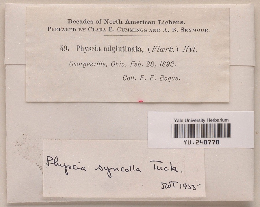 | Physcia syncolla Tuck. ex Nyl. | 1893 | Ernst E. Bogue | |
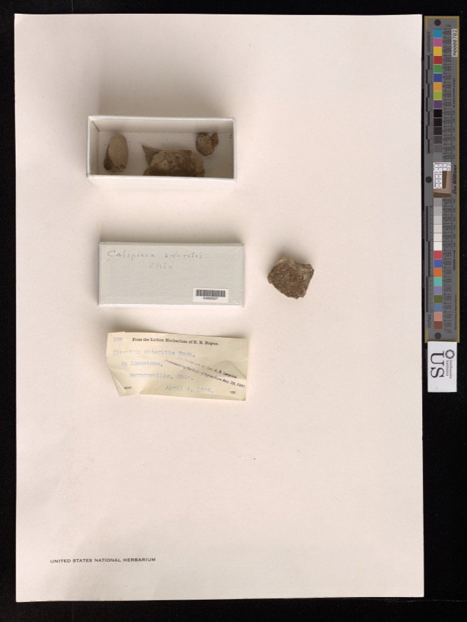 | Caloplaca sideritis (Tuck.) Zahlb. | 1894 | E. Bogue | Georgesville. |
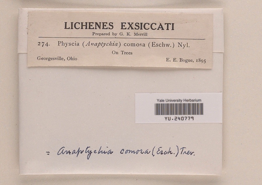 | Anaptychia comosa (Eschw.) A.Massal. | 1895 | Ernst E. Bogue | |
 | Chiloscyphus ascendens (Wilson & Hook.) Sull. | 1885 | W. C. Werner | Georgesville |
 | Buteo jamaicensis borealis (Gmelin, 1788) | 1889 | Hine, J. S. (James Stewart) | London, Madison, Ohio, USA |
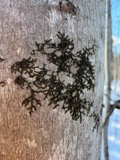 | Frullania eboracensis Lehm. | 1890 | W. C. Werner | Georgesville |
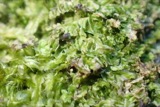 | Lophocolea heterophylla (Schrad.) Dumort. | 1890 | W. C. Werner | Georgesville |
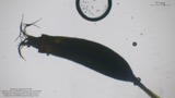 | Tortella humilis (Hedw.) Jenn. | 1890 | W. C. Werner | Georgesville |
 | Anomodon minor (Hedw.) Lindb. | 1891 | W. C. Werner | |
 | Hedwigia ciliata (Hedw.) P.Beauv. | 1891 | W. C. Werner | Georgesville |
| Leskea gracilescens Hedw. | 1891 | W. C. Werner | ||
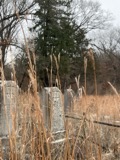 | Andropogon gerardi Vitman | 1892 | Werner, W.C. | Georgeville |
All 594 specimens within 10 miles, at the Global Biodiversity Information Facility.
Mines and quarries near this place
4 within 5 milesRegional context, not property-specific evidence. The federal mineral resources record lists 4 workings within 5 miles of West Jefferson: 2 past producers, 2 producers. 2 still produce. What was taken out: Sand and Gravel, Construction, Limestone, General, Dolomite, Stone, Crushed/Broken, Stone, Crushed/Broken. Distance is straight-line from the map coordinates, so a quarry counted here may appear on a neighbouring settlement's page as well.
| Where | Site | Commodity | Status | Recorded |
|---|---|---|---|---|
| Madison Limestone Quarry | Limestone, General | Past Producer | Sedimentary | |
| Madison Limestone Quarry | Dolomite, Stone, Crushed/Broken | Past Producer | ||
| Olen Pit | Sand and Gravel, Construction, Stone, Crushed/Broken | Producer | ||
| Olen Pit | Sand and Gravel, Construction | Producer |
Storms near this place
10 since 1996Regional context, not property-specific evidence. The National Weather Service names West Jefferson in 10 storm reports between 1996 and 2022: 5 thunderstorm wind, 3 hail, 1 tornado, 1 flood. No death or injury is recorded in these reports. Each account below is quoted exactly as the forecast office filed it, from the NOAA Storm Events Database, and each date opens the federal record of that event.
| When | Event | Place named | Harm | What the report says |
|---|---|---|---|---|
| August 2022 | Thunderstorm Wind | West Jefferson | $20,000 | Several trees and power poles were downed. Numerous power outages were reported in West Jefferson. |
| May 2008 | Tornado (EF0) | West Jefferson | $5,000 | A tornado touched down in a field just west of State Route 142 and south of Interstate 70 a few miles northeast of West Jefferson in eastern Madison County. Several trees were damaged and at least one was ripped out of the ground and tossed across State Route 142. The path length extended for about 200 yards. The tornado touched back down about 1.5 miles to the northeast in western Franklin County near a residence along Amity Road just north of Interstate 70. Additional tree damage occurred in this location. This tornado was rated EF-0 with maximum wind speeds of 75 mph. |
| May 2000 | Thunderstorm Wind | West Jefferson | $5,000 | Numerous trees and large limbs downed. |
| April 1996 | Thunderstorm Wind | West Jefferson | $5,000 | no account filed |
| August 2011 | Thunderstorm Wind | West Jefferson | $3,000 | Trees were reported down on power lines due to damaging thunderstorm winds. |
| April 2018 | Flood | West Jefferson | - | Water was reported on several roadways. |
| April 2013 | Hail | West Jefferson | - | no account filed |
| June 2012 | Hail | West Jefferson | - | no account filed |
| May 2011 | Thunderstorm Wind | West Jefferson | - | no account filed |
| August 1998 | Hail | West Jefferson | - | no account filed |
Nearest settlements
The eight closest, with where each one stands in the county. Distances are straight-line, computed from the Geographic Names Information System coordinates.
| Map | Place | Distance | Sheets |
|---|---|---|---|
| Hidden Creek At The Darby | 1.0 miles | 13 | |
| Oakwood Acres | 1.0 miles | 13 | |
| Roberts (historical) | 2.0 miles | 13 | |
| Willows (historical) | 3.5 miles | 13 | |
| Lilly Chapel | 3.9 miles | 13 | |
| Gillivan | 4.7 miles | 13 | |
| Carters (historical) | 5.0 miles | 13 | |
| Rupert | 6.2 miles | 13 |
Provenance
This settlement is recorded in the Geographic Names Information System as feature 1085494. The sheet list is computed by point-in-boundary test against the United States Geological Survey's historical topographic inventory. Both are works of the United States government and carry no copyright under 17 U.S.C. 105.
Specimens. Global Biodiversity Information Facility (GBIF), https://www.gbif.org/. Only records licensed CC0 or CC BY are used. Records licensed CC BY-NC are excluded because this site carries advertising. Images are checked individually and any whose licence is non-commercial, no-derivatives or unreadable is refused.
Mines and quarries. USGS Mineral Resources Data System (MRDS) https://mrdata.usgs.gov/mrds/ A work of the United States government, no copyright under 17 U.S.C. 105.
Storms. NOAA National Centers for Environmental Information, Storm Events Database https://www.ncei.noaa.gov/stormevents/ A work of the United States government, no copyright under 17 U.S.C. 105. Narratives are quoted verbatim from the National Weather Service report and are not edited or summarised.