 Block
Block
West Unity, Ohio
14 topographic sheets cover this place, the earliest surveyed in 1913 and the latest in 1990. It stands in Brady Township. It lies in ZIP code area 43570. It stands on Walnut Run. The Survey maps it on the West Unity quadrangle. 1,763 people lived here at the 2020 count. It stands 787 feet above sea level.
Population over time
2 figuresWest Unity grew from 1,671 to 1,763 between 2010 and 2020. These are the recorded population figures Wikidata holds for this place, reached through the Geographic Names Information System number this page is keyed on rather than by name, so they belong to this place and not to another of the same name. Most are census counts, but not all are: an early figure may be a founding or settlement estimate. The change column is computed, and is left blank where more than 20 years separate a figure from the one before it, because a gap that long is not a change between two counts.
| Year | People | Change |
|---|---|---|
| 2010 | 1,671 | |
| 2020 | 1,763 | +92 (+6%) |
Then and now
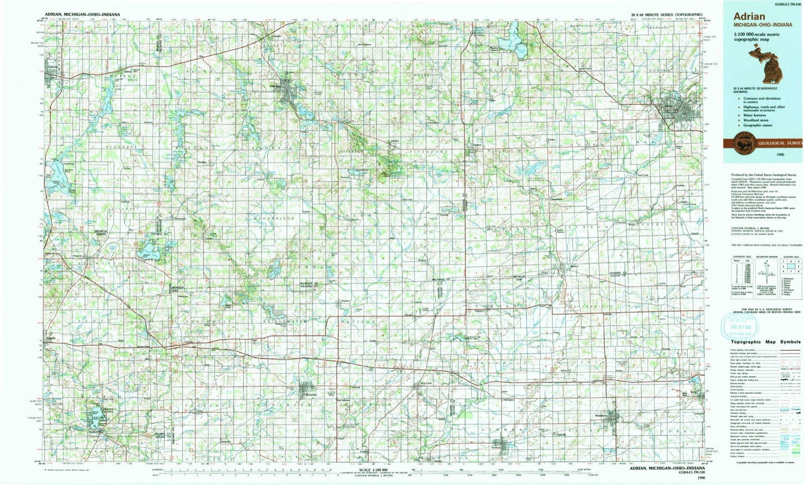
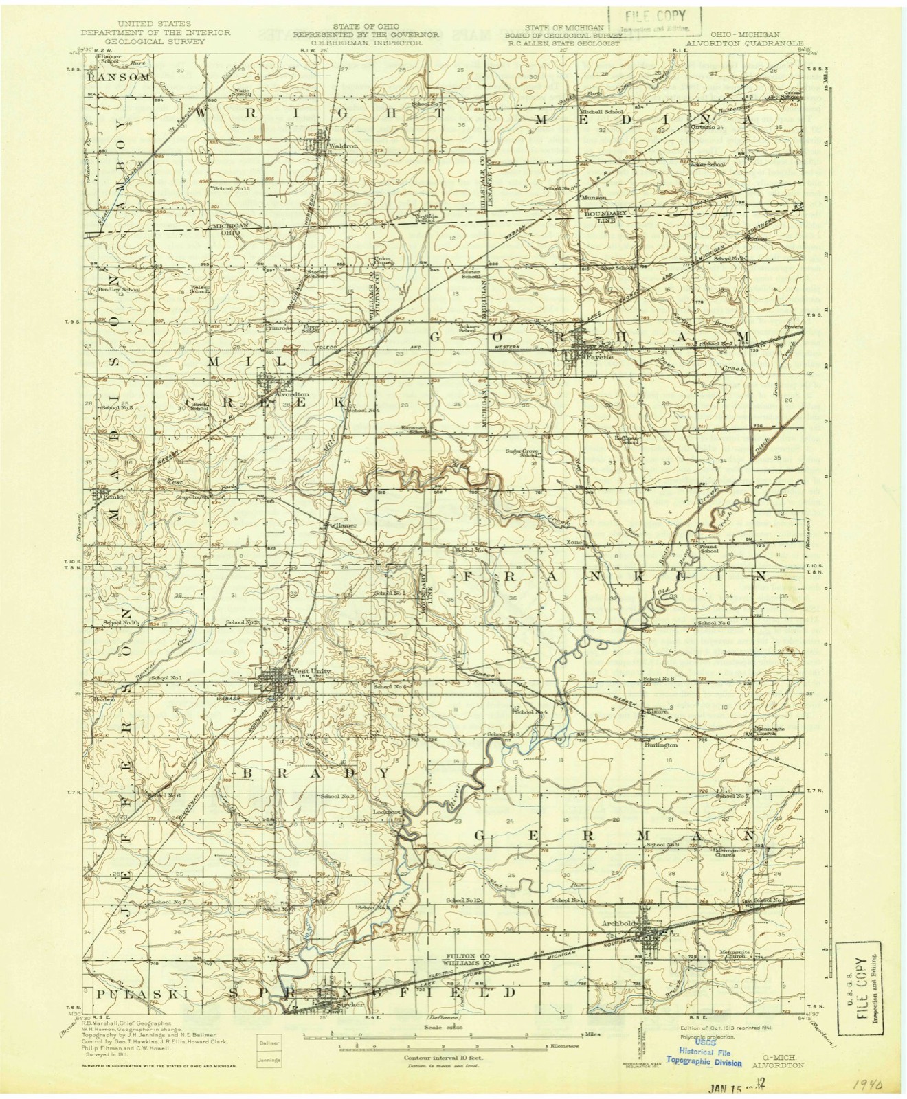
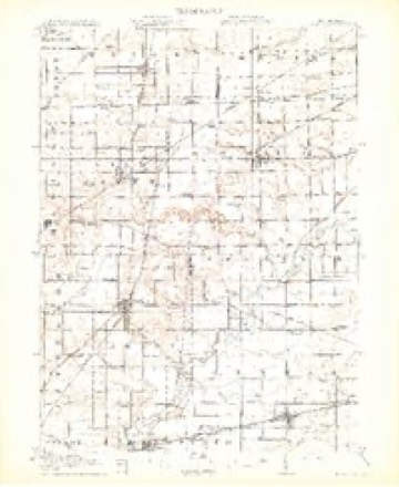
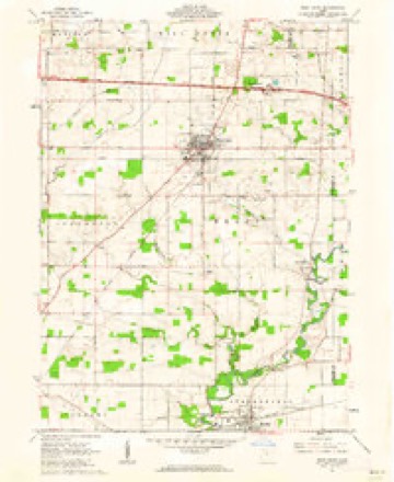
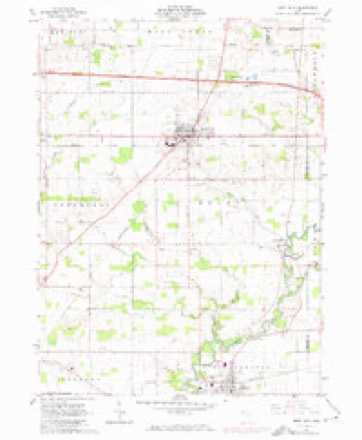
1913 to 1990The same ground, surveyed 77 years apart. Drag the handle to wipe between them. Both sheets are United States Geological Survey originals; neither has been altered.
Topographic sheets covering this place
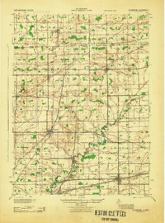
14 sheetsMatched by testing this settlement's coordinate against the published boundary of every sheet in the United States Geological Survey's historical collection. Each opens the scanned sheet at the Survey.
- 1913 USGS Alvordton quadrangle1:62500
- 1913 USGS Alvordton quadrangle1:62500
- 1913 USGS Alvordton quadrangle1:62500
- 1944 USGS Alvordton quadrangle1:62500
- 1953 USGS Fort Wayne quadrangle1:250000
- 1953 USGS Fort Wayne quadrangle1:250000
- 1953 USGS Fort Wayne quadrangle1:250000
- 1953 USGS Fort Wayne quadrangle1:250000
- 1956 USGS Fort Wayne quadrangle1:250000
- 1956 USGS Fort Wayne quadrangle1:250000
- 1961 USGS West Unity quadrangle1:24000
- 1961 USGS West Unity quadrangle1:24000
- 1985 USGS Adrian quadrangle1:100000
- 1990 USGS Adrian quadrangle1:100000
In the county-history sources
3,109 words on this townshipThe County of Williams : a History of Williams County, Ohio, from the Earliest Days, with Special Chapters on Various Subjects, Including Each of the Different Townships ; Also a Biographical Department, published 1905 names this settlement in its chapter on Brady Township. These are the passages that mention it, exactly as the scans read.
Brady township was settled nearly as early as any of the townships of Williams county. The first settlers were John Miller, John Rings, Gilbert Dunscomb, Jacob Bohner, Abner Ayres and Warren Hancock. In the month of April, 1835, John Miller entered a piece of land near where West Unity now stands. Gilbert Dunscomb entered land in May, and Abner Ayers in August of same year. Jacob Bohner, Warren Hancock and John Rings also entered land in 1835. William Miller, Samuel Snyder, H. F. Flowers, David Loutzenhizer, William Stubbs and William H. McGrew settled in 1836 and 1837. Here, and bv these people, the first improvements were made and the first crops raised.
Passage source: The County of Williams : a History of Williams County, Ohio, from the Earliest Days, with Special Chapters on Various Subjects, Including Each of the Different Townships ; Also a Biographical Department, published 1905.
John Rings was born in Westmoreland county, Pennsylvania, September 2, 1804, was a farmer, and also a teamster in the days of sixhorse teams. He came to this county in 1835, and settled on land now partially occupied by the town of West Unity, then a dense forest. Some years after, he had a portion of his land surveyed and laid out into town lots, started the village, July 20, 1842, and named it after Pleasant Unity, a town in his native county and state. Mr. Rings was the first justice of the peace elected in Brady township. He was elected county commissioner in 1837. county treasurer in 1851, reelected in 1853. and died in his second term, April 18, 1855. He was part owner of the first sawmill erected in the village, also one of the owners of the first grist mill. At the time of his death he was engaged in mercantile pursuits, and was at all times foremost in enterprises tending to the improvement or development of his town and county.
Passage source: The County of Williams : a History of Williams County, Ohio, from the Earliest Days, with Special Chapters on Various Subjects, Including Each of the Different Townships ; Also a Biographical Department, published 1905.
William Hendricks McGrew was born February 22, 1796, in Adams county, Pennsylvania, where he received a very fair education. He came to Williams county with his wife and children, in 1836, and settled about two miles south of West Unity. Not a stick had been cut by way of clearing the land. He put up a cabin, into which he moved before doors or windows had been put in, and here, surrounded by wolves and other wild animals, he resided until he had cleared up 140 acres. He served nine years as justice of the peace of Brady, and as township trustee fifteen consecutive years, and was always a publicspirited man. In October, 1865, he retired from his farm to West Unity, where he enjoyed for the remainder of his life that repose which comes of well-doing.
Passage source: The County of Williams : a History of Williams County, Ohio, from the Earliest Days, with Special Chapters on Various Subjects, Including Each of the Different Townships ; Also a Biographical Department, published 1905.
Machine-read from a century-old scan, so expect the errors a machine makes: misspelled names, dropped words, stray characters.
Read the whole chapter on Brady Township - it names this place 6 more 6 times.
Specimens collected near this place
12 of 138 shownRegional context, not property-specific evidence. Museums hold 138 specimens collected within 10 miles of West Unity between 1890 and 1974: 137 Animalia, 1 Fungi. 12 distinct Species records are shown. Collected by Adler, K. K., Bauer, L., C.H. Kennedy and others. Each is a physical object with a catalogue number, and each entry opens the museum's record. This is what was collected and kept, not a survey of what lives here - nothing can be concluded from a species being absent.
| Image | Species | Year | Collected by | Where, as recorded |
|---|---|---|---|---|
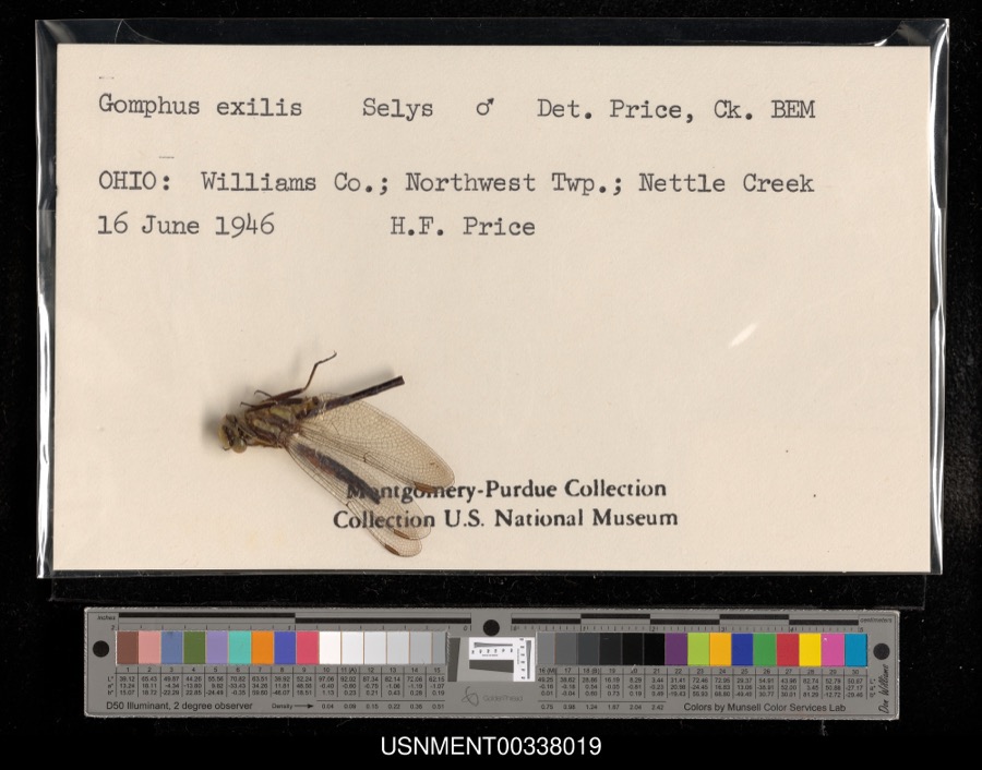 | Gomphus exilis Selys, 1854 | 1946 | H. Price | Northwest Township, Nettle Creek |
 | Plowrightia morbosa (Schwein.) Sacc. | 1890 | Woodard Edwin | Stryker |
 | Moxostoma erythrurum (Rafinesque, 1818) | 1893 | P. Kirsch | Tiffin River, West Unity, Ohio |
 | Sciurus niger Linnaeus, 1758 | 1926 | Collector(s): unknown | No specific locality recorded |
 | Acris crepitans Baird, 1854 | 1927 | Hine, J. S. (James Stewart) | Near Stryker, Williams Co., Ohio |
 | Rana clamitans Latreille, 1801 | 1927 | Hine, J. S. (James Stewart) | Near Stryker, Williams Co., Ohio |
 | Sturnus vulgaris Linnaeus, 1758 | 1927 | Price, H. (Homer) | Evansport, Williams, Ohio, USA |
 | Campostoma anomalum anomalum | 1929 | Trautman, M. B. (Milton Bernard) | Mill Creek, within Ex east Mill Creek township, near Alvordton, Mill Creek township |
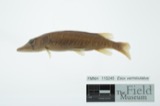 | Esox vermiculatus Lesueur, 1846 | 1929 | Trautman, M. B. (Milton Bernard) | Mill Creek, within Ex east Mill Creek township, near Alvordton, Mill Creek township |
 | Micropterus salmoides (Lacepède, 1802) | 1929 | Trautman, M. B. (Milton Bernard) | West Branch Saint Joseph River, Ex east Bridgewater township, ~2 mi SW of Pioneer, Bridgewater township |
 | Mustela nivalis allegheniensis (Rhoads, 1901) | 1929 | R. Bernath | Stryker |
 | Notropis photogenis (Cope, 1865) | 1929 | Trautman, M. B. (Milton Bernard) | West Branch Saint Joseph River, Ex east Bridgewater township, ~2 mi SW of Pioneer, Bridgewater township |
All 138 specimens within 10 miles, at the Global Biodiversity Information Facility.
Storms near this place
9 since 1998Regional context, not property-specific evidence. The National Weather Service names West Unity in 9 storm reports between 1998 and 2023: 8 thunderstorm wind, 1 hail. No death or injury is recorded in these reports. Each account below is quoted exactly as the forecast office filed it, from the NOAA Storm Events Database, and each date opens the federal record of that event.
| When | Event | Place named | Harm | What the report says |
|---|---|---|---|---|
| August 1998 | Thunderstorm Wind | West Unity | $20,000 | A LINE OF LARGE UTILITY POLES WERE SNAPPED OR BLOWN DOWN. |
| July 2023 | Thunderstorm Wind | West Unity | $1,000 | Large tree limbs snapped in West Unity. |
| September 2014 | Thunderstorm Wind | West Unity | - | Local officials reported several down tree branches onto power lines in the area. |
| July 2012 | Thunderstorm Wind | West Unity | - | Emergency management officials reported a tree was blown down at the intersection of US 127 and County Road M. |
| July 2012 | Thunderstorm Wind | West Unity | - | Emergency management officials reported a tree was blown down onto two vehicles. No injuries were reported. |
| May 2011 | Thunderstorm Wind | West Unity | - | Wind gusts were estimated between 60 and 70 mph. |
| June 2005 | Thunderstorm Wind | West Unity | - | Large tree down across the road in West Unity. |
| June 2004 | Thunderstorm Wind | West Unity | - | Emergency management reported trees and power lines down in West Unity. |
| September 2005 | Hail | West Unity | - | no account filed |
Nearest settlements
The eight closest, with where each one stands in the county. Distances are straight-line, computed from the Geographic Names Information System coordinates.
| Map | Place | Distance | Sheets |
|---|---|---|---|
| Hamer | 3.1 miles | 14 | |
| Baldwin (historical) | 3.3 miles | 14 | |
| Jefferson Estates | 3.4 miles | 14 | |
| Lock Port | 3.5 miles | 14 | |
| Kunkle | 4.7 miles | 14 | |
| Tiffin Meadows | 4.9 miles | 14 | |
| Hillcrest | 5.4 miles | 13 | |
| Alvordton | 5.5 miles | 14 |
Elsewhere
Matched on this settlement's Geographic Names Information System number rather than its name, so it cannot be a different place of the same name in another state.
| Wikipedia article on West Unity | An encyclopaedic summary. Its text is share-alike, so it is linked here rather than copied. |
| Wikidata item Q2048505 | The structured record the population and elevation above come from. Public domain (CC0). |
Provenance
This settlement is recorded in the Geographic Names Information System as feature 1047810. The sheet list is computed by point-in-boundary test against the United States Geological Survey's historical topographic inventory. Both are works of the United States government and carry no copyright under 17 U.S.C. 105.
Specimens. Global Biodiversity Information Facility (GBIF), https://www.gbif.org/. Only records licensed CC0 or CC BY are used. Records licensed CC BY-NC are excluded because this site carries advertising. Images are checked individually and any whose licence is non-commercial, no-derivatives or unreadable is refused.
Storms. NOAA National Centers for Environmental Information, Storm Events Database https://www.ncei.noaa.gov/stormevents/ A work of the United States government, no copyright under 17 U.S.C. 105. Narratives are quoted verbatim from the National Weather Service report and are not edited or summarised.