 Block
Block
Zone, Ohio
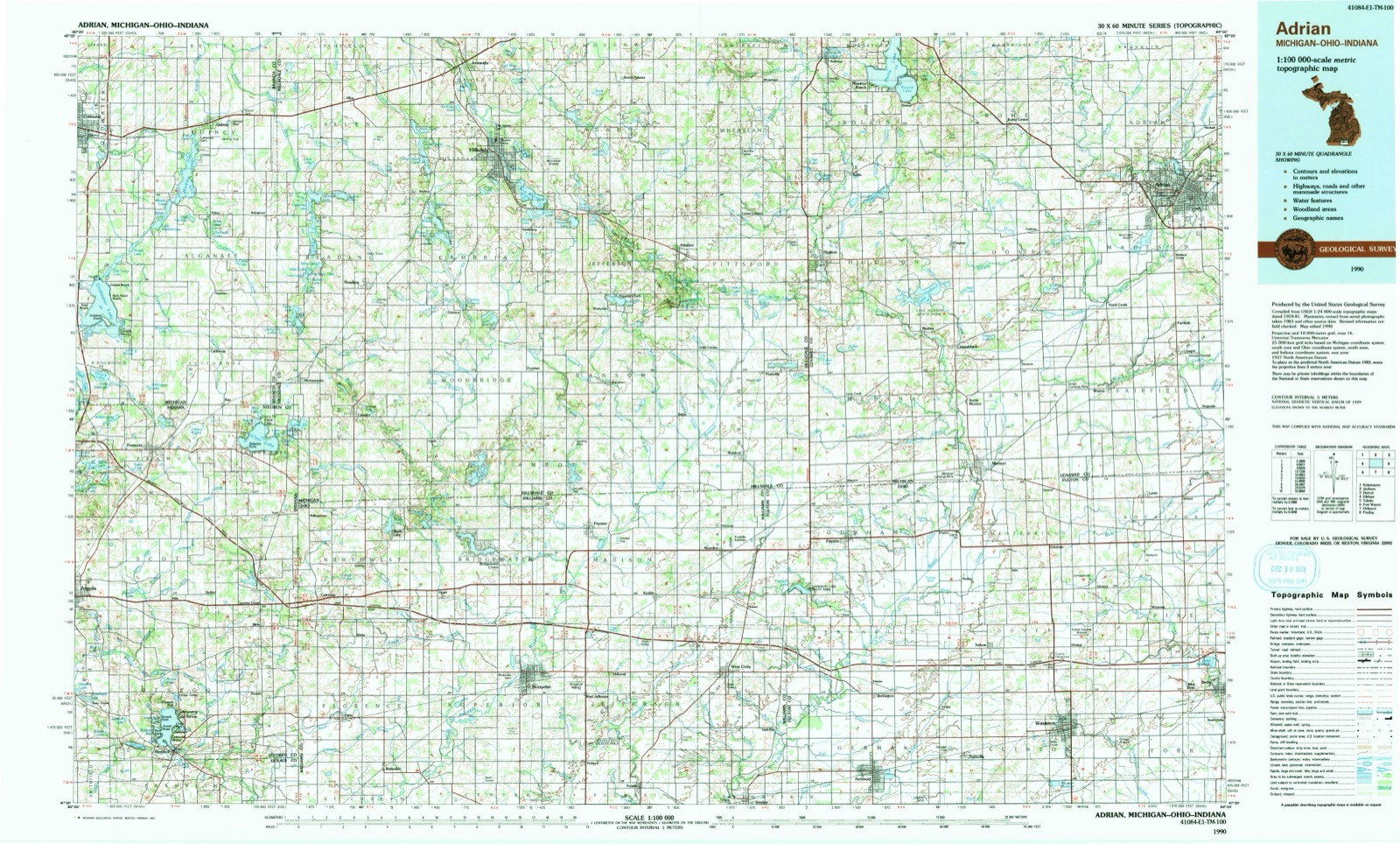
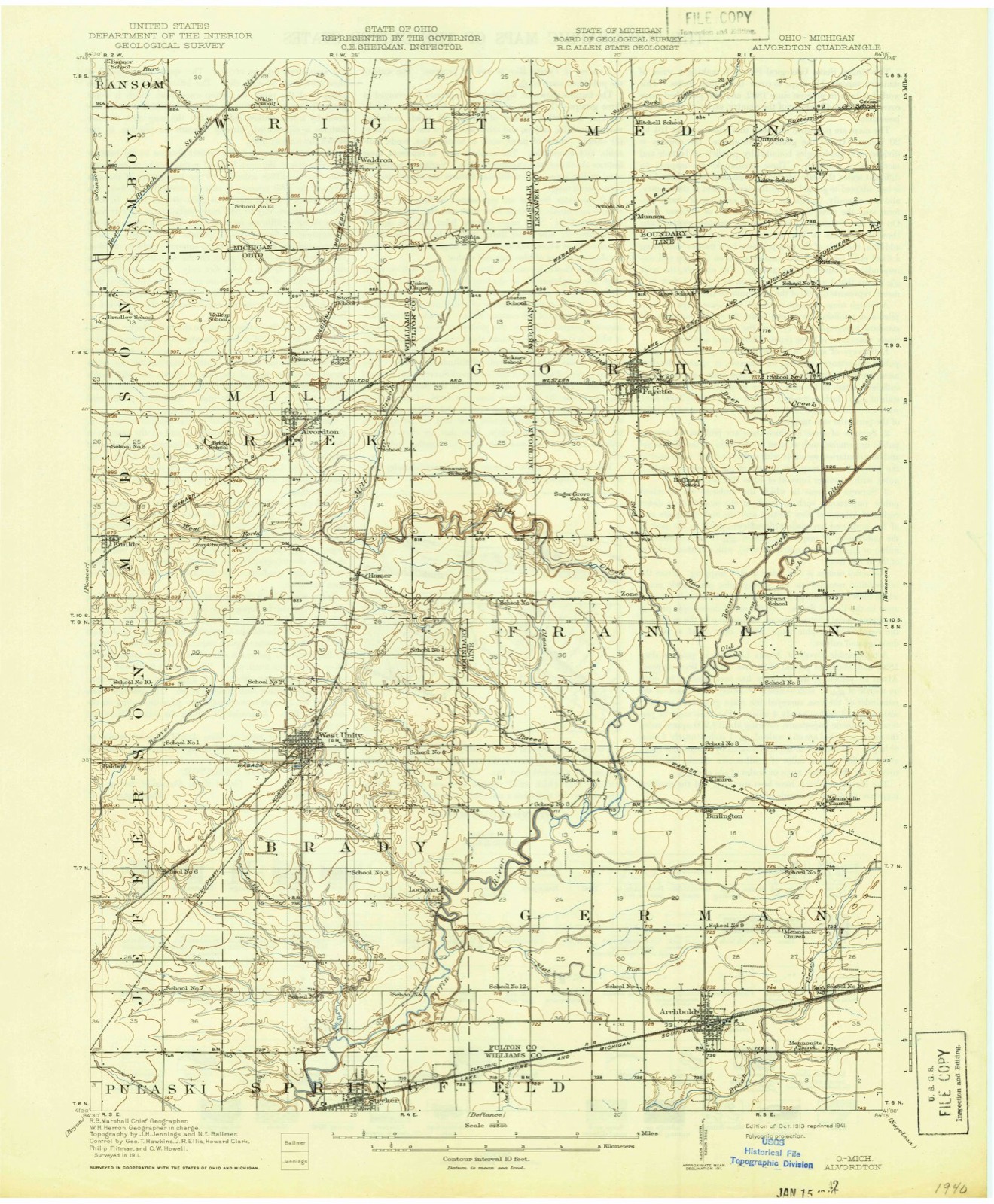
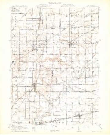
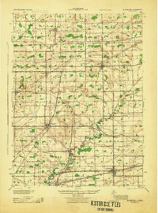
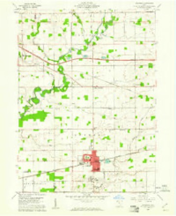
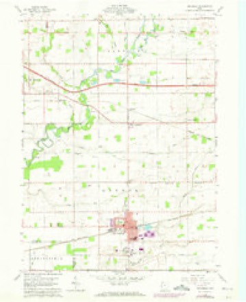
14 topographic sheets cover this place, the earliest surveyed in 1913 and the latest in 1990. It stands in Franklin Township. It lies in ZIP code area 43521. It stands on Stag Run. The Survey maps it on the Archbold quadrangle.
Then and now
1913 to 1990The same ground, surveyed 77 years apart. Drag the handle to wipe between them. Both sheets are United States Geological Survey originals; neither has been altered.
Topographic sheets covering this place
14 sheetsMatched by testing this settlement's coordinate against the published boundary of every sheet in the United States Geological Survey's historical collection. Each opens the scanned sheet at the Survey.
- 1913 USGS Alvordton quadrangle1:62500
- 1913 USGS Alvordton quadrangle1:62500
- 1913 USGS Alvordton quadrangle1:62500
- 1944 USGS Alvordton quadrangle1:62500
- 1953 USGS Fort Wayne quadrangle1:250000
- 1953 USGS Fort Wayne quadrangle1:250000
- 1953 USGS Fort Wayne quadrangle1:250000
- 1953 USGS Fort Wayne quadrangle1:250000
- 1956 USGS Fort Wayne quadrangle1:250000
- 1956 USGS Fort Wayne quadrangle1:250000
- 1959 USGS Archbold quadrangle1:24000
- 1959 USGS Archbold quadrangle1:24000
- 1985 USGS Adrian quadrangle1:100000
- 1990 USGS Adrian quadrangle1:100000
Specimens collected nearby
12 of 533 shownMuseums hold 533 specimens collected within 10 miles of Zone between 1893 and 1974: 529 Animalia, 2 Unrecorded, 1 Plantae, 1 Fungi. 12 distinct Species records are shown. Collected by ALVIN PYLE, CHAS M BUTLER, CLARENCE CLARK and others. Each is a physical object with a catalogue number, and each entry opens the museum's record. This is what was collected and kept, not a survey of what lives here - nothing can be concluded from a species being absent.
| Image | Species | Year | Collected by | Where, as recorded |
|---|---|---|---|---|
 | Moxostoma erythrurum (Rafinesque, 1818) | 1893 | P. Kirsch | Tiffin River, West Unity, Ohio |
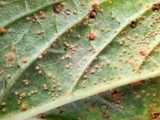 | Puccinia menthae Pers. | 1893 | Fink B. | Fayette |
 | Storeria dekayi (Holbrook, 1839) | 1909 | CHAS M BUTLER | MORENCI |
 | Ambloplites rupestris rupestris (Rafinesque, 1817) | 1929 | Trautman, M. B. (Milton Bernard) | Bean Creek, within central Franklin township, near Fayette, Franklin township |
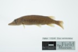 | Esox vermiculatus Lesueur, 1846 | 1929 | Trautman, M. B. (Milton Bernard) | Bean Creek, within central Franklin township, near Fayette, Franklin township |
 | Etheostoma nigrum Rafinesque, 1820 | 1929 | Trautman, M. B. (Milton Bernard) | Brush Creek, within German township, near Archbold, German township |
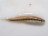 | Fundulus notatus (Rafinesque, 1820) | 1929 | Trautman, M. B. (Milton Bernard) | Brush Creek, within German township, near Archbold, German township |
 | Hybopsis biguttatus (Kirtland, 1840) | 1929 | Trautman, M. B. (Milton Bernard) | Bean Creek, within central Franklin township, near Fayette, Franklin township |
 | Ictalurus natalis (Lesueur, 1819) | 1929 | Trautman, M. B. (Milton Bernard) | Brush Creek, within German township, near Archbold, German township |
 | Lepomis cyanellus Rafinesque, 1819 | 1929 | Trautman, M. B. (Milton Bernard) | Bean Creek, within central Franklin township, near Fayette, Franklin township |
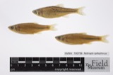 | Notropis spilopterus (Cope, 1867) | 1929 | Trautman, M. B. (Milton Bernard) | Bean Creek, within central Franklin township, near Fayette, Franklin township |
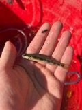 | Percina maculata (Girard, 1859) | 1929 | Trautman, M. B. (Milton Bernard) | Bean Creek, within central Franklin township, near Fayette, Franklin township |
All 533 specimens within 10 miles, at the Global Biodiversity Information Facility.
Nearest settlements
The eight closest, with where each one stands in the county. Distances are straight-line, computed from the Geographic Names Information System coordinates.
| Map | Place | Distance | Sheets |
|---|---|---|---|
| Elmira | 3.2 miles | 14 | |
| Fayette | 3.5 miles | 16 | |
| Burlington | 3.6 miles | 14 | |
| Thelma | 5.5 miles | 15 | |
| Powers | 5.7 miles | 15 | |
| Eckley | 5.8 miles | 15 | |
| Ritters (historical) | 6.3 miles | 16 | |
| Tedrow | 6.6 miles | 15 |
Provenance
This settlement is recorded in the Geographic Names Information System as feature 1049363. The sheet list is computed by point-in-boundary test against the United States Geological Survey's historical topographic inventory. Both are works of the United States government and carry no copyright under 17 U.S.C. 105.
Specimens. Global Biodiversity Information Facility (GBIF), https://www.gbif.org/. Only records licensed CC0 or CC BY are used. Records licensed CC BY-NC are excluded because this site carries advertising. Images are checked individually and any whose licence is non-commercial, no-derivatives or unreadable is refused.