Block
From the record
One of 426 National Register listings published here for Cuyahoga County · listed in 2023 · category: Building.
Sources: the National Register database, National Park Service
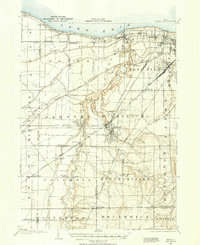
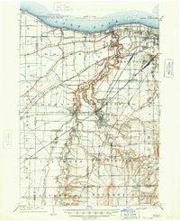
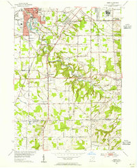
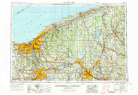
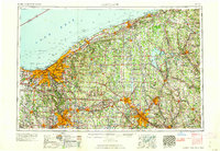
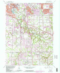
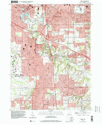
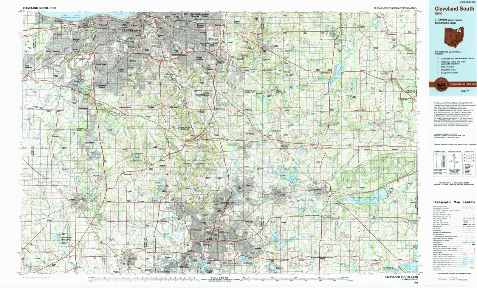
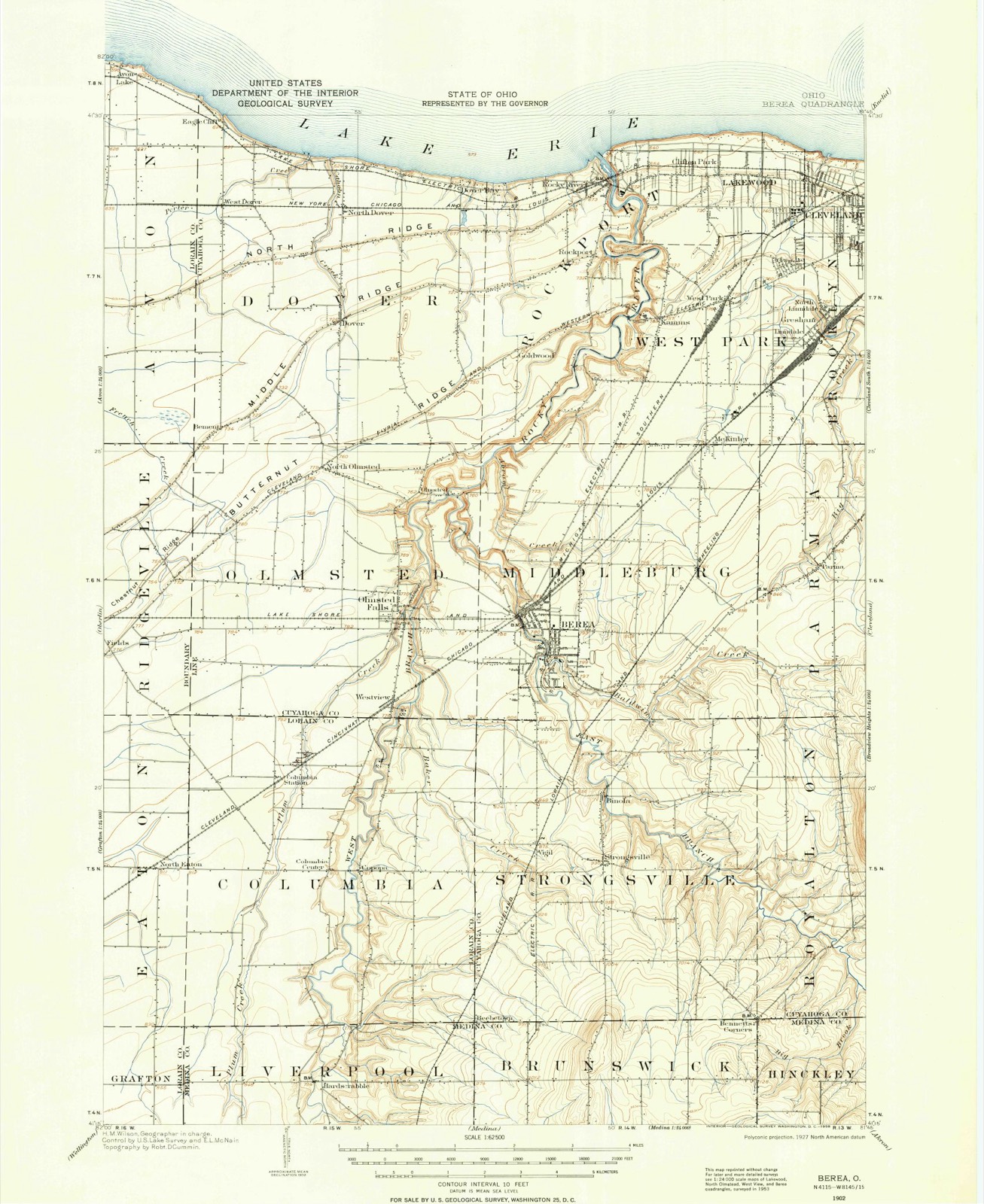
Listed on the National Register of Historic Places in 2023. 9 historic topographic surveys show this location, the earliest from 1902.
One of 426 National Register listings published here for Cuyahoga County · listed in 2023 · category: Building.
Sources: the National Register database, National Park Service
The ground this property stands on, surveyed 92 years apart. Drag the handle to wipe between them. Both sheets are United States Geological Survey originals; neither has been altered.
Regional context, not property-specific evidence. Museums hold 1,099 specimens collected within 10 miles of Carl Droppers House between 1849 and 1975: 1,007 Animalia, 57 Plantae, 28 Fungi, 6 Protozoa, 1 Unrecorded. 12 distinct Species records are shown. Collected by A. D. Huryn, A. G. Newhall, A. Hall and others. Each is a physical object with a catalogue number, and each entry opens the museum's record. This is what was collected and kept, not a survey of what lives here - nothing can be concluded from a species being absent.
| Image | Species | Year | Collected by | Where, as recorded |
|---|---|---|---|---|
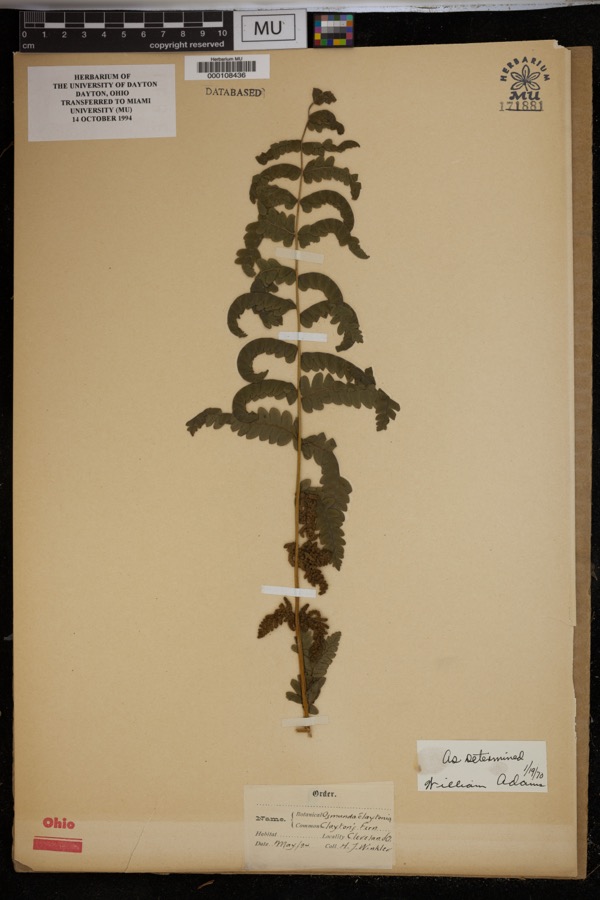 | Osmunda claytoniana L. | 1894 | Winkler, H.J. | Cleveland. |
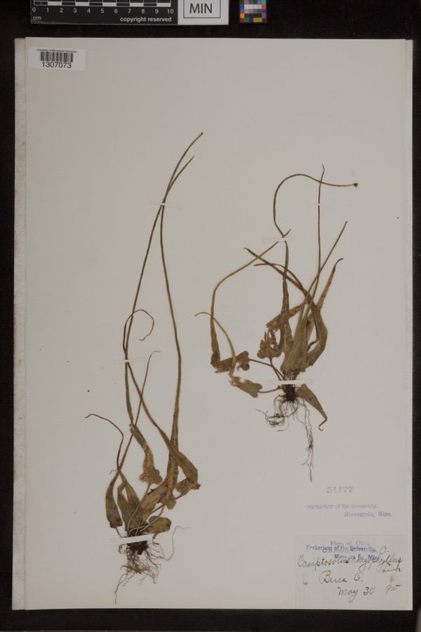 | Camptosorus rhizophyllus (L.) Link | 1895 | Ashcraft, G.B. | Berea |
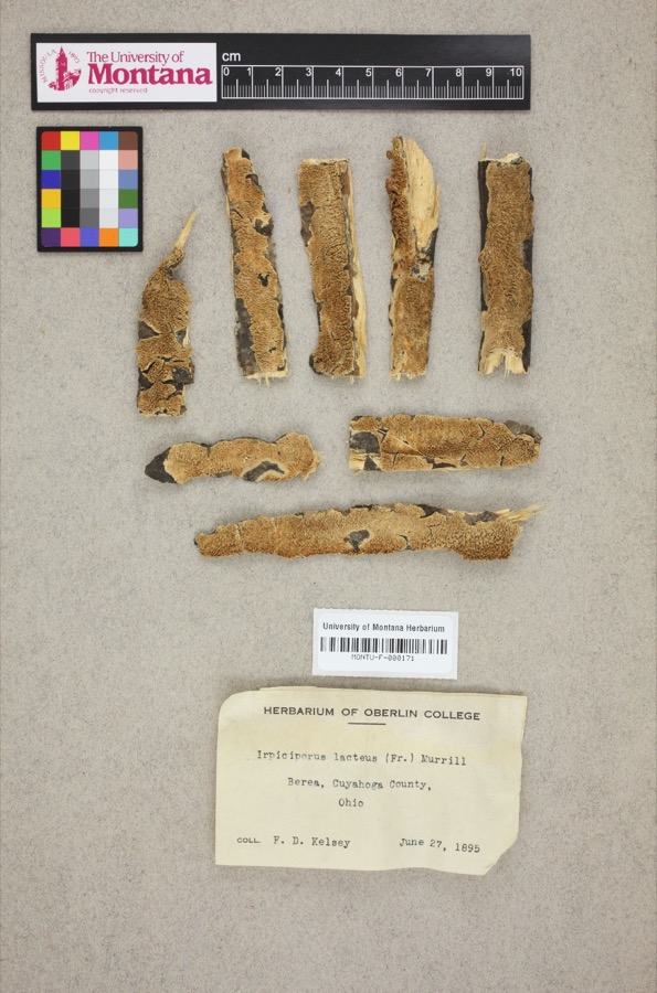 | Irpiciporus lacteus (Fr.) Murrill | 1895 | F. D. Kelsey | Berea. |
 | Setophaga americana (Linnaeus, 1758) | 1849 | Jared P. Kirtland | Rockport |
 | Eremophila alpestris praticola (Henshaw, 1884) | 1877 | A. Hall | East Rockport |
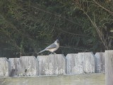 | Baeolophus bicolor (Linnaeus, 1766) | 1879 | Willard G. Van Name | East Rockport |
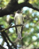 | Contopus virens (Linnaeus, 1766) | 1879 | A. Hull | East Rockport |
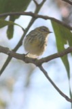 | Setophaga tigrina (J.F.Gmelin, 1789) | 1879 | A. Hall | East Rockport |
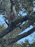 | Astur Lacepède, 1799 | 1880 | A. Hall | East Rockport |
 | Caprimulgus vociferus vociferus A.Wilson, 1812 | 1880 | A. Hall | East Rockport |
 | Icterus spurius (Linnaeus, 1766) | 1880 | A. Hall | East Rockport |
| Calidris alpina (Linnaeus, 1758) | 1890 | Saunders, F.A. | LOCNM: Rondeau |
All 1,099 specimens within 10 miles, at the Global Biodiversity Information Facility.
Regional context, not property-specific evidence. The National Weather Service names Berea, the town this property stands in, in 15 storm reports between 1996 and 2024: 8 thunderstorm wind, 4 hail, 3 flash flood. No death or injury is recorded in these reports. Each account below is quoted exactly as the forecast office filed it, from the NOAA Storm Events Database, and each date opens the federal record of that event.
| When | Event | Place named | Harm | What the report says |
|---|---|---|---|---|
| August 2007 | Flash Flood | Berea | $2,200,000 | Heavy rain and thunderstorms moved across Cuyahoga County during the morning hours of the 7th. The first reports of flash flooding occurred in Berea and then quickly expanded into Brookpark. Several roads, including State Route 237 through Berea, were closed. As the heavy rain continued, major streets across Cleveland became flooded. In downtown Cleveland, flash flooding occurred along streets just north of Superior Avenue, especially near the intersection with Martin Luther King Jr. Drive. In this area, seventeen people had to be rescused from their vehicles, and a total of thirty five rescues were performed on other streets throughout downtown Cleveland. Approximately thirty eight residences and two businesses sustained major flood damage. Rainfall reports across Cuyahoga County from this event ranged from 1.74 inches in North Royalton to 3.74 inches in Westlake. The majority of the rain fell in a four hour time period between 7 am and 11 am. |
| September 1996 | Flash Flood | Berea | $100,000 | no account filed |
| August 2024 | Thunderstorm Wind | Berea | $20,000 | Roof damage reported about one-mile ESE of Berea. |
| May 2019 | Thunderstorm Wind | Berea | $10,000 | A tree fell on to a house with damage. |
| June 2004 | Thunderstorm Wind | Berea | $8,000 | Thunderstorm winds downed trees in both Berea and Parma. |
| August 2005 | Thunderstorm Wind | Berea | $4,000 | Three trees were reported down. |
| June 2008 | Thunderstorm Wind | Berea | $3,000 | A tree and a large limb was reported down. |
| August 2024 | Thunderstorm Wind | Berea | - | Large tree downed near intersection of French Street and Prospect Road in Berea. Numerous tree branches downed elsewhere in town. |
| July 2023 | Thunderstorm Wind | Berea | - | Several large tree limbs snapped and an entire tree downed in Berea. |
| April 2022 | Thunderstorm Wind | Berea | - | Large tree limbs downed in Berea. |
| September 2020 | Flash Flood | Berea | - | Sewer lid blew of eastbound lane of W 117th Street with water spilling into the street. |
| May 2017 | Hail | Berea | - | Nickel sized hail was observed. |
| June 2008 | Hail | Berea | - | Nickel size hail was observed. |
| August 2005 | Hail | Berea | - | Penny size hail was observed. |
| April 2004 | Hail | Berea | - | Penny size hail was observed. |
United States Geological Survey topographic sheets whose coverage includes this point. Matched by taking the coordinate the National Park Service records for this property, then testing that coordinate against the published boundary of every sheet.
Other National Register properties close enough to walk or drive between, ordered by distance from this one. Both positions come from the same geocoding pass that matched these properties to their map sheets.
| Photograph | Property | Distance | Listed |
|---|---|---|---|
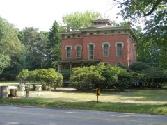 | George W. Whitney House | 0.4 miles | 1974 |
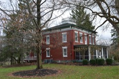 | John Wheeler House | 0.7 miles | 1978 |
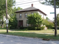 | Buehl House | 0.7 miles | 1976 |
| Lyceum Village Square And German Wallace College | 0.8 miles | 1975 | |
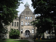 | Baldwin-Wallace College South Campus Historic District | 0.8 miles | 2010 |
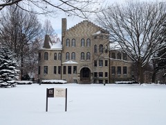 | Baldwin-Wallace College North Campus Historic District | 1.2 miles | 2013 |
| National Archives record | The nomination case file for reference 100008761 in Record Group 79. |
| Cuyahoga County | All 426 listed properties in this county. |