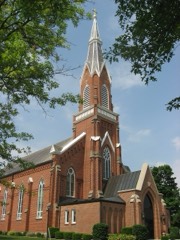
Listed on the National Register of Historic Places in
1970. A historic map-sheet match is not published yet. The record needs a coordinate-quality review before it can be joined to a sheet boundary.
From the record
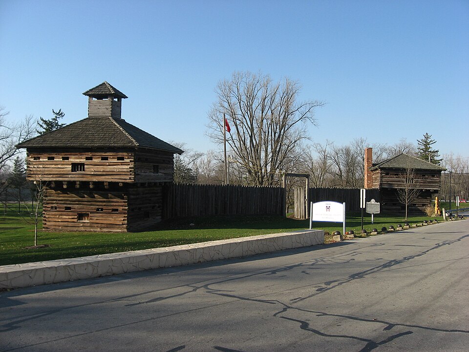
“Fort Recovery was a United States Army fort ordered built by General "Mad" Anthony Wayne during what is now termed the Northwest Indian War. Constructed from late 1793 and completed in March 1794, the fort was built along the Wabash River, within two miles of what became the Ohio state border with Indiana.”
Wikipedia article Fort Recovery, CC BY-SA 4.0.
one of 28 National Register listings in Mercer County · listed in 1970 · category: Site.
National Register reference number.70000509- the number the National Park Service assigned this property when it was listed, and the key its nomination file is catalogued under at the National Archives.
The southern and western part of Gibson township was largely settled by people from Southern Ohio and Pennsylvania, who originally came from Virginia and North and South Carollina, although a few came from Delaware. Among the early settlers in this section were the families of James -Cummins, Henry Denney, Benjamin Clark and William F. Denney, who came from Gallia County, Ohio ; the Clarks, who came from England ; Wateman Hastings and Solomon Collins, who came from the State of Delaware ; and Robert Hunter, James Alexander and David Hays who came from Fairfield County, Ohio - all of these settled in Gibson township about the same time. Nathan S. Scranton settled on a farm in Gibson township in 1849; the Scranton family, who were originally from the State of Connecticut, came to Mercer County from Medina County, Ohio. Near the town of Fort Recovery and north of the first neighborhood, Robert Travis, Edward Jones, Sylvester Schutt, Jacob Schaffer, Jacob Stuber and Joseph Clark and their families settled. In the eastern part of the township, around Sharpsburg, Aaron Rood and wife and' his sons, L. B. Rood and Alpha Rood, who were Yankees in every sense of the word; the Jones and Hall families and the families of Thomas Rockwell, Jacob and George Meyers and William Snyder - all of whom came from Butler County, Ohio - settled at an early date. In the same section of the township also settled John L. Fox, David Johnson, John Hedrick and Abraham Mott, Sr. - Abraham and James Z. Mott, sons of the lastnamed pioneer, still live in the township. The Lowry family came in at a later date and its representatives are still living in the township. Samuel Briner, Samuel Keller, David F. Blake (who went to Missouri in 1857), George Sigler, M. W. Diggs and George Painter were early settlers in the southern part of the township. Other early settlers were James Watkins, Daniel Broclc and John McDaniel.
It seems to be a settled fact that the older the country, the fewer the .country schools. This is true in Gibson township to-day: The schools out- side of the town of Fort Recovery are not as large as they were 35 years ago, when the writer had a very personal knowledge of them. Then there were six district schools, maintained on an average of eight or nine months in the year, and each one of these schools had an average attendance of not less than 50 pupils, and at least three had from 75 to 100 pupils each. At the present time it takes three of these same school districts combined to maintain oneschool, and this one with only about 30 pupils in attendance. The Board of Education think it both cheaper and better to hire a man to haul the pupils back and forth from their own district to a school in some other district than to hire teachers for each school district. Special school districts have been created that take the place of sub-districts.
Regional context, not property-specific
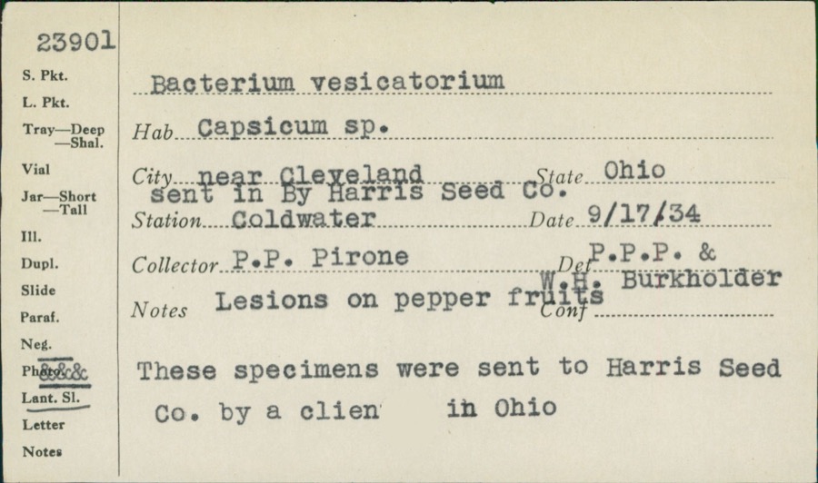
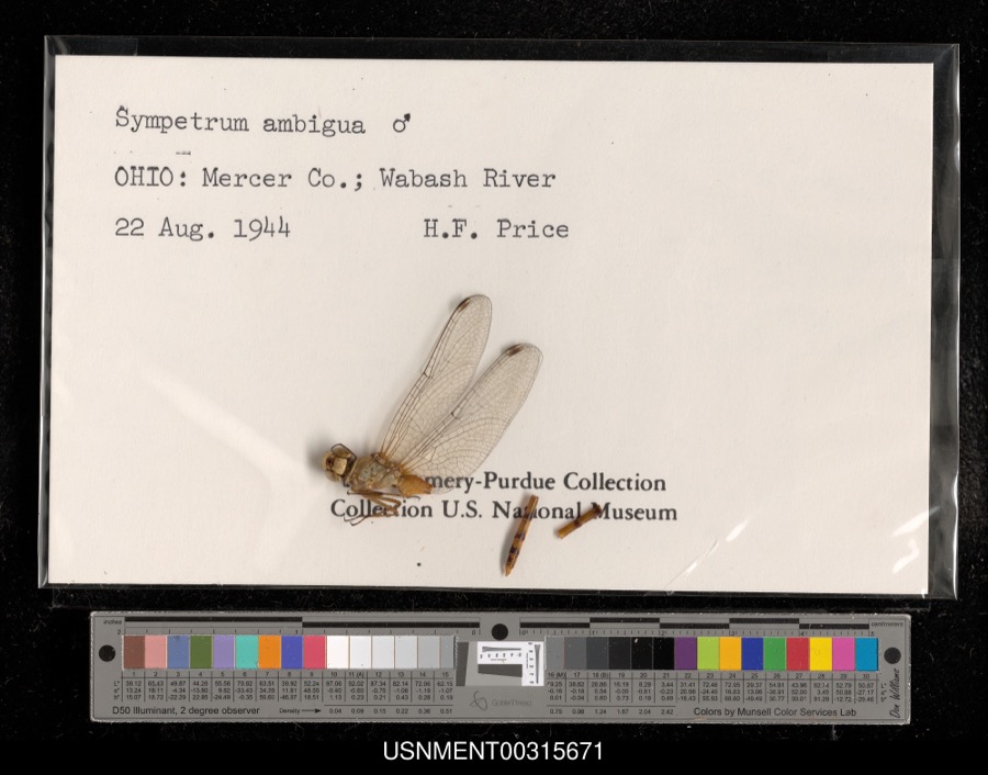
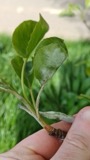
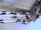
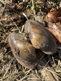
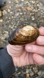
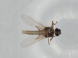
evidence. Museums hold 132 specimens
collected within 10 miles of Fort Recovery Site between 1888 and
1962: 107 Animalia, 24 Fungi, 1 Unrecorded. 12 distinct Species records are shown.
Collected by A. D. Selby, C. Clark, C. Clark & R. Rhoades and others. Each is a
physical object with a catalogue
number, and each entry opens the museum's record. This is what was
collected and kept, not a survey of what lives here - nothing can be
concluded from a species being absent.
No historic map-sheet match is published
for this property yet. That does not mean no map exists. This record needs
a coordinate-quality review before it can be joined to a sheet boundary.
Browse the county's mapped places while that work is
pending.
Named in the fire insurance atlases
Sanborn surveyors printed an index of the
town's establishments at the front of each atlas. This property is named in
one, read straight off the scanned sheet.
When this property was proposed for the
National Register, someone wrote the case for it: what the building is,
and why it matters. That document is a federal record in the public domain.
It is quoted below word for word, never summarised. The text was read off the scanned case file by machine, so the
occasional stray character is the recogniser's and the 1970s
typewriter's.
Description of the property
Wayne's fort was a regular post with 4 blockhouses, each 20 feet square and connected by pickets. Wayne ordered that the "ends of the blockhouses The fort was built with single-story blockhouses in only 4 or 5 days. located in a park near the fort site. It is not a part of this application.m Fair UNITED STATES DEPARTMENT OF THE INTERIOR (July 1969) NATIONAL PARK SERVICE NATIONAL REGISTER OF HISTORIC PLACES INVENTORY - NOMINATION FORM FOR NPS USE ONLY ENTRY NUMBER Fort Recovery Site 6. Survey of Historical Features - Southwestern Ohio October, 1970 1982 Velma Avenue GPO 901.082 039 Mercer Columbus COUNTY STATE Ohio (Continuation Sheet) (Number all entries) Form 10-300a The Ohio Historical Society DATE PERIOD (Check One or More as Appropriate) - Pre-Columbian!
- 20th Century SPECIFIC DATE(S) (If Applicable and Known) AREAS OF
Statement of significance
On November 4, 1791 the Army of the United States in the Northwest Territory, under the leadership of General Arthur St. Clair, suffered at the hands of the Indian forces of Chiefs Little Turtle and Blue Jacket the worst defeat in its history. This defeat, near the origin of the Wabash River, came command of the U.S. forces following the defeat of General Harmar at Fort Wayne in 1790. The few who survived the brutal attack, only about one- winter, James Wilkinson, now St. Clair's second-in-command and successor to Richard Butler, who was killed by the Indians, returned to bury the dead, but he did not hazard an occupation of the area.
New leadership was soon found for the conquest of the Old Northwest in the capable and cunning Major General "Mad" Anthony Wayne, a hero of the American Revolution. Two years after St. Clair!s devastating defeat, Wayne army was much better trained than St. Clair's had been--he held his training 23, 1793 he sent a force of men under Major Henry Burbeck to the battle ground with orders to construct Fort Recovery, which was to be so strong fort was ready. Meanwhile, the Indian tribes were planning to start with a supply convoy was just arriving. The Indians, again under the command of Little Turtle, decided to attack the fort prematurely. They were unable to encircle the supply detachment quickly and a bloody battle ensued. The next day, July 1, the battle was over and the Indians dispersed.
Anthony Wayne went on, 2 months later, to win the decisive Battle of Fallen A Congressional Monument to the Dead, erected in 1912 by the United States government, was presented to the State of Ohio in 1951. The Fort Recovery site serves as a memorial to the U.S.
Quoted from the National Register nomination
for reference 70000509, 15 pages, held by the National Archives in Record
Group 79. See the
catalogue record.
Listed places nearby
6 within 8 miles
Other National Register properties close
enough to walk or drive between, ordered by distance from this one. Both
positions come from the same geocoding pass that matched these properties
to their map sheets.
Listing record. National Park Service National Register of Historic Places, listed-properties dataset, current to 2026-05-22.
Map join. Address geocoded through the United States Census geocoder, then tested against the published boundary of every sheet in the USGS Historical Topographic Map Collection.
How this page is made. Listing fields come from federal records; map-sheet coverage is a labelled coordinate-to-boundary calculation, not a source-field claim.
Specimens. Global Biodiversity Information Facility (GBIF), https://www.gbif.org/. Only records licensed CC0 or CC BY are used. Records licensed CC BY-NC are excluded because this site carries advertising. Images are checked individually and any whose licence is non-commercial, no-derivatives or unreadable is refused.
 Block
Block