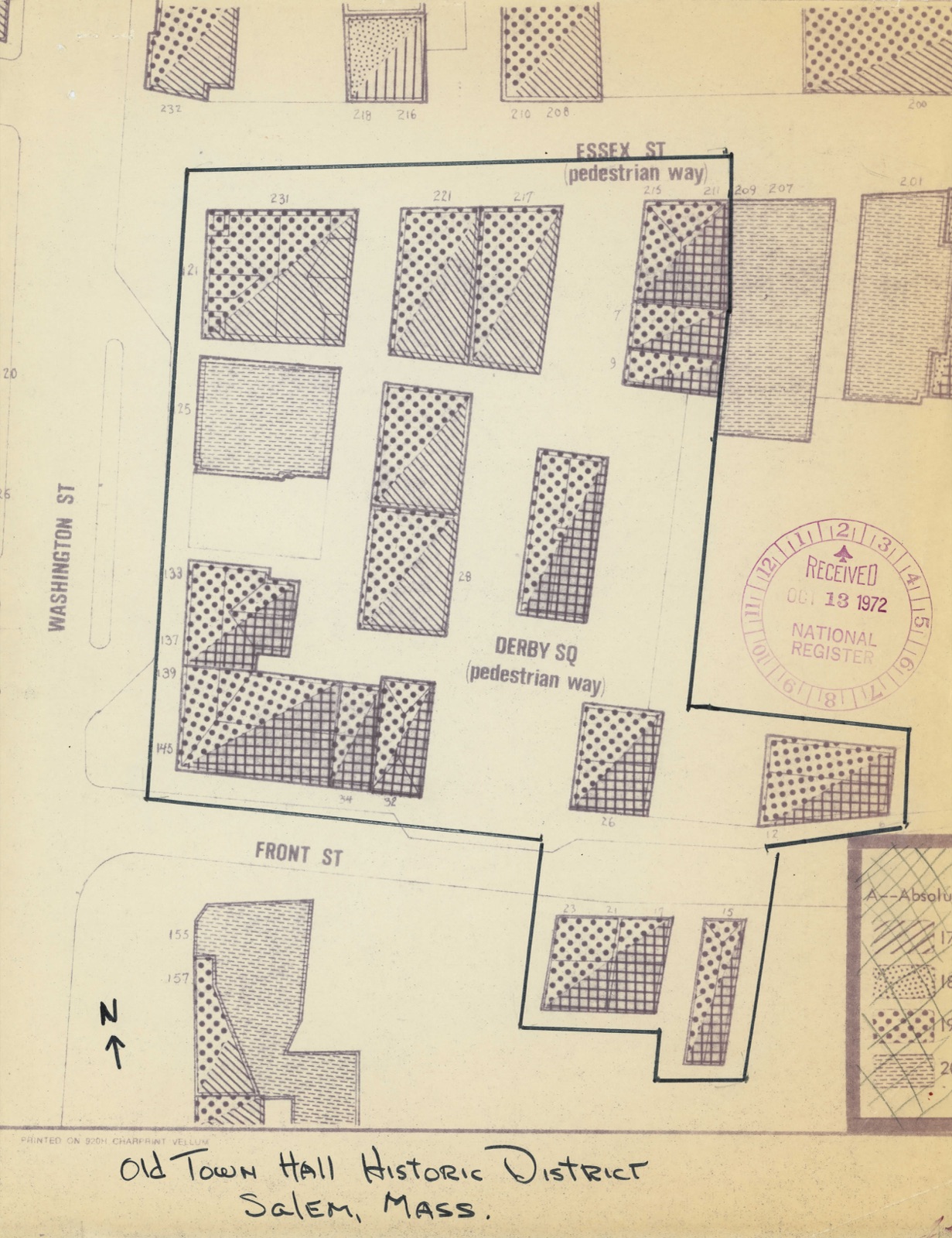
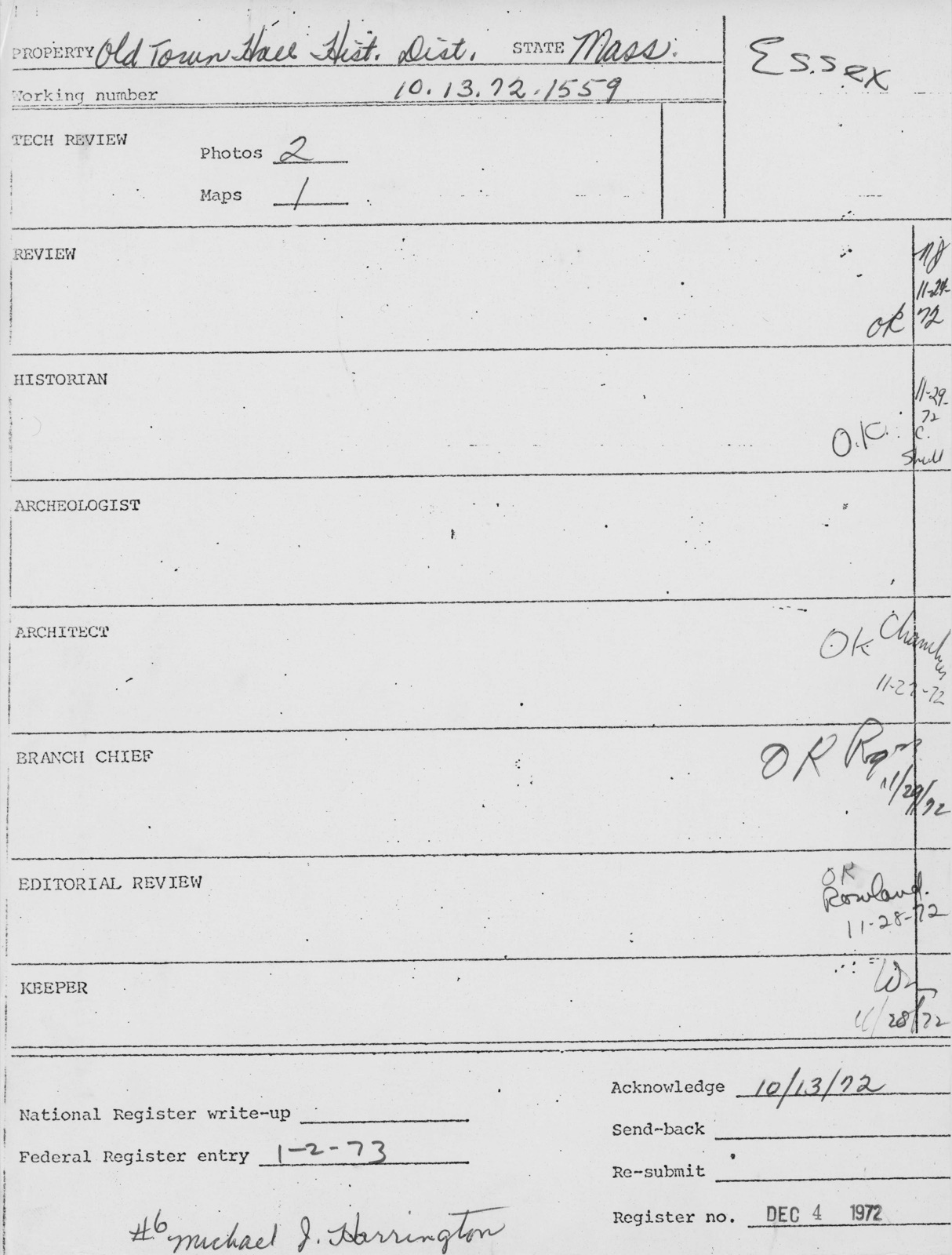
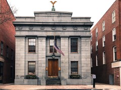
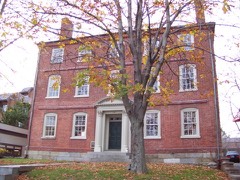
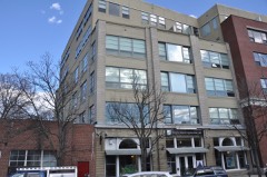
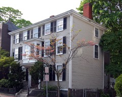
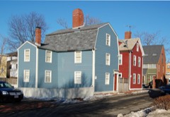
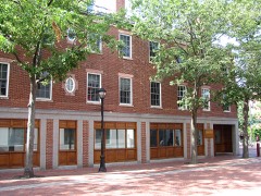
Photographs from the nomination case file, National Park Service records.
Old Town Hall Historic District
Listed on the National Register of Historic Places in
1972. A historic map-sheet match is not published yet. The record needs a coordinate-quality review before it can be joined to a sheet boundary.
From the record
“Downtown Salem District is a historic district roughly bounded by Church, Central, New Derby, and Washington Streets in Salem, Massachusetts. It was added to the National Register of Historic Places in 1983, and represents a major expansion of the Old Town Hall Historic District, which was listed in 1972.”
Wikipedia article Downtown Salem District, CC BY-SA 4.0.
one of 350 National Register listings in Essex County · listed in 1972 · category: District · one of 2 National Historic Landmarks in Essex County.
National Register reference number.72000149- the number the National Park Service assigned this property when it was listed, and the key its nomination file is catalogued under at the National Archives.
Q. what kind of man is Jn° willard : a young man or an old man. A : he is not an old man. he had black hair. Q. what meeting was this meeting : was this that that was near Jngerfals: A: Yes. J think. Q. what did they do then. A. the eat & drank wine: was there a minifter there. A. no : not as J know of : from whence had you your wine : A. from Salem J think was Q.. goodwife Olliver there, yes I knew her.
Regional context, not property-specific
evidence. The
federal wildfire occurrence database
lists 54 fires within 5 miles of Old Town Hall Historic District between
2006 and 2020, burning about 174 acres in total. 1 started naturally. 3 were recorded as arson.
Distance is straight-line from the map coordinates, so a fire counted
here may appear on a neighbouring settlement's page as well.
Reported cause
Fires
Recreation and ceremony
18
Smoking
9
Equipment and vehicle use
7
Debris and open burning
5
Missing data/not specified/undetermined
4
Arson/incendiarism
3
Misuse of fire by a minor
3
Power generation/transmission/distribution
2
Fireworks
1
Natural
1
Railroad operations and maintenance
1
The most recent of
them, most recent first, with the day each was reported and the service
that recorded it.
Regional context, not property-specific
evidence. Museums hold 9,146 specimens
collected within 10 miles of Old Town Hall Historic District between 1800 and
1975: 3,676 Plantae, 2,871 Animalia, 1,045 Fungi, 906 Chromista, 458 Unrecorded, 147 Bacteria, 43 Protozoa. 12 distinct Species records are shown.
Collected by A B. Proper, A H HIGGINSON, A. A. Eaton and others. Each is a
physical object with a catalogue
number, and each entry opens the museum's record. This is what was
collected and kept, not a survey of what lives here - nothing can be
concluded from a species being absent.
Regional context, not property-specific
evidence. The federal mineral resources record lists
8 workings within 5 miles of Old Town Hall Historic District: 5 plants, 1 unknown, 1 producer, 1 past producer.
6 still produce. What was taken out: Stone, Crushed/Broken, Zirconium, Thorium, Tungsten. Distance is straight-line from the
map coordinates, so a quarry counted here may appear on a neighbouring
settlement's page as well.
Regional context, not property-specific
evidence. The National Weather Service names
Salem, the town this property stands in, in 10 storm reports between 1993 and 2023: 4 thunderstorm wind, 3 hail, 2 flood, 1 flash flood.
No death or injury is recorded in these reports. Each account below is quoted exactly as the forecast office
filed it, from the NOAA Storm Events Database, and each date
opens the federal record of that event.
Numerous streets were closed due to flooding. In addition, numerous vehicles were reported stuck in water on roads throughout Peabody; occupants had to be rescued and vehicles towed. Parts of Route 128 were impassable due to flooding. The Peabody police station was flooded, damaging training rooms, telephones, three police cruisers, and two motorcycles. Several houses were flooded near the intersection of Washington and Granite Streets. The Lahey Clinic was flooded with 4 to 6 feet of water in the basement and several inches of water in the 1st floor hallways. The fire chief estimated that at least 100 houses and 40 businesses were damaged. In addition, at least 100 basements throughout town were flooded. Flooding was extensive enough that schools were closed.
In Salem, Swampscott Road was closed due to flooding and three cars were stuck in floodwaters on Highland Avenue. Cars were stuck in floodwaters on Stettson Road in Swampscott. In Marblehead, West Shore Drive was impassable and closed from Cornell Road to Lafayette Street. In addition, a building was flooded on Salem Street and a house was flooded on Smith Street.
Two trees down in Salem Willows Park. Numerous dime-size hail stones fell at approximately 1845 EST in West Peabody with one or two stones just under the size of a quarter as measured by the son of a NWS meteorologist. Rainfall in Peabody was 1.68 inches.
1 paper published in this town,
digitised by the Library of Congress and free to read: 0 issues,
0 pages. Every page is searchable, so a name or a street can be
looked for directly in what the town printed about itself at the time.
No historic map-sheet match is published
for this property yet. That does not mean no map exists. This record needs
a coordinate-quality review before it can be joined to a sheet boundary.
Browse the county's mapped places while that work is
pending.
From the nomination file
3,149 words on record
When this property was proposed for the
National Register, someone wrote the case for it: what the building is,
and why it matters. That document is a federal record in the public domain.
It is quoted below word for word, never summarised. The text was read off the scanned case file by machine, so the
occasional stray character is the recogniser's and the 1970s
typewriter's.
Description of the property
The Old Town Hall Historic District includes eleven brick buildings of the Federalist period (1780-1830) and seven which were built within the next fifty years. Together they represent the best remaining small area of early commercial buildings in downtown Salem. This compact area extends from the southeast corner of Washington and Essex Streets, along Essex Street to in- clude the building east of Derby Square and both sides of the Square to Front Street including the buildings on either side of the southern end of Derby Square. The district also includes numbers 6 through 34 Front Street as well as 125 through 145 washington Street.
IThe Old Town Hall was built in 1816 and is an excellent example of a Bulfinch-influenced, Federal period public building./ Five bays wide and eleven bays deep, it is a brick structure with a pitched roof. The main facades, which are on the gable ends and face north and south, are pedimented, accented by a wooden cornice with modillions and ornamented by fanlights.A small cupola is centered on the ridgepole. A belt course runs between the first and second floors. All the doorways and windows have rounded tops, with simple fanlights over the first floor windows which are recessed in narrow arches. MAs the Hall was originally built to be a market house as well as meetinghouse, it is possible that these first floor recessed window areas were once open to the street.
On the south facade three entrances in the first, third and fifth bays are reached by a flight of granite steps; at the north end the center entrance is at street level. Above both north and south central entrances are Palladian windows. The large square brick building at 231 Essex Street (Low's Building) dominates the junction of Essex and Washington Streets.
The Old Iown Hall Historic District is bounded by Washington Street, Front Street, Essex Street and Derby Square which has pedestrian accesses to Essex and Front Streets. The street pattern is an early one- Washington Street was laid out, four rods wide, in 1629; Essex Street, which intersects it, is believed to have been originally an Indian path along the ridge of Salem peninsula; Front Street was one of the ancient ways along the waterfront and was called a highway as early as 1682. The Historic District is built on a gentle slope of land running down to what was formerly the South River, now completely filled in. ASalem historians agree that this section of the South River shore was the first developed waterfront area of Salem and remained dominant until the early 19th century.
In the period prior to the advent of the railroad, the life of a coastal city such as Salem owed its development to its port. Accordingly, many of the important political and social events of Federalist Salem occurred in the Old Town Hall Historic District/ Derby Square, in the center of which the Town Hall now stands, was the site of the mansion built in 1784 by Elias Haskett Derby. Derby!s heirs, Benjamin Pickman, Jr. and John Derby, demolished the mansion and gave 16,500 square feet in the center of their inherited propertycto thetinhabitants of Salem, on which to construct a town hall/market house. This building was constructed in 1816.
A condition of the gift was thatconly buildings.of brick or stone could be erected on land contiguous to the Town Hall, an early example of city planning which afforded great unity to the area.
Quoted from the National Register nomination
for reference 72000149, 16 pages, held by the National Archives in Record
Group 79. See the
catalogue record.
Listed places nearby
6 within 8 miles
Other National Register properties close
enough to walk or drive between, ordered by distance from this one. Both
positions come from the same geocoding pass that matched these properties
to their map sheets.
Listing record. National Park Service National Register of Historic Places, listed-properties dataset, current to 2026-05-22.
Map join. Address geocoded through the United States Census geocoder, then tested against the published boundary of every sheet in the USGS Historical Topographic Map Collection.
How this page is made. Listing fields come from federal records; map-sheet coverage is a labelled coordinate-to-boundary calculation, not a source-field claim.
Wildfire. Short, Karen C. 2022. Spatial wildfire occurrence data for the United States, 1992-2020 [FPA_FOD_20221014]. 6th Edition. Fort Collins, CO: Forest Service Research Data Archive. https://doi.org/10.2737/RDS-2013-0009.6 Collected with United States Government funding and usable without additional permissions or fees.
Specimens. Global Biodiversity Information Facility (GBIF), https://www.gbif.org/. Only records licensed CC0 or CC BY are used. Records licensed CC BY-NC are excluded because this site carries advertising. Images are checked individually and any whose licence is non-commercial, no-derivatives or unreadable is refused.
Mines and quarries. USGS Mineral Resources Data System (MRDS) https://mrdata.usgs.gov/mrds/ A work of the United States government, no copyright under 17 U.S.C. 105.
Storms. NOAA National Centers for Environmental Information, Storm Events Database https://www.ncei.noaa.gov/stormevents/ A work of the United States government, no copyright under 17 U.S.C. 105. Narratives are quoted verbatim from the National Weather Service report and are not edited or summarised.
 Block
Block