National Register reference number.73001430- the number the National Park Service assigned this property when it was listed, and the key its nomination file is catalogued under at the National Archives.
Then and now
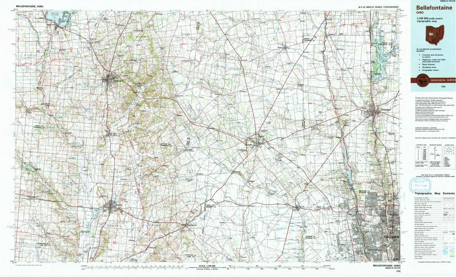
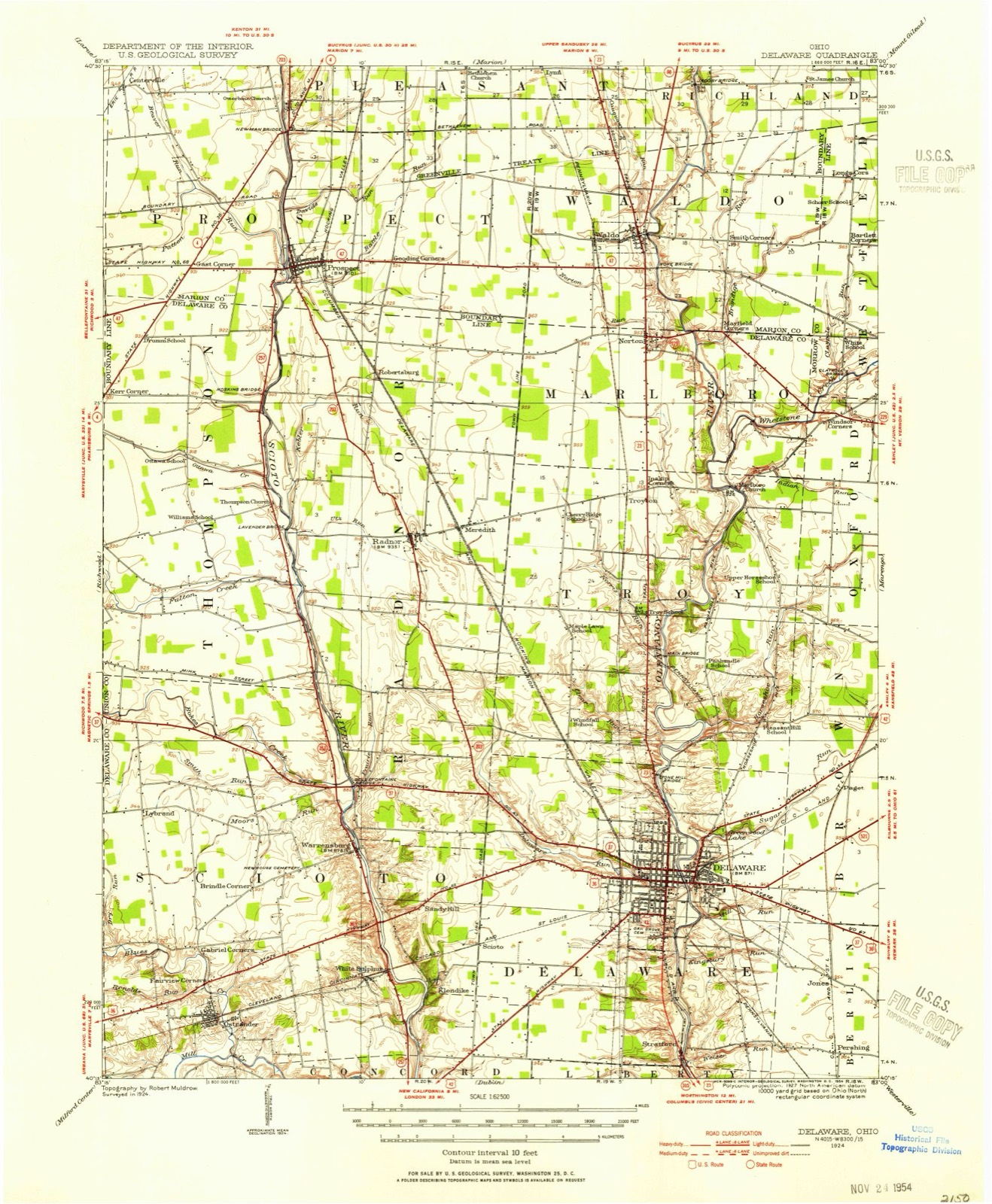
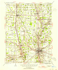
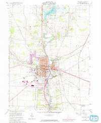
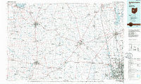
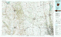
1924 to 1992
The ground this property stands on, surveyed
68 years apart. Drag the handle to wipe between them. Both sheets are
United States Geological Survey originals; neither has been altered.
Leander J. Critchfield, the late Reporter of the Supreme Court of Ohio, was for a number of years a member of the Delaware bar. He was a native of Ohio, it is believed, and a gTaduate of the Ohio Wesleyan University at this place, in the year 1849. He became a law student of Judge Finch, and was admitted to the bar soon after, and then became the partner of Mr. Finch in the business of the profession. He was a successful practitioner at the Delaware bar until after his appointment, by the Judges of the Supreme Court of the State, to be their Reporter. His first volume of the reports, entitled "The Ohio State Reports," being the fifth volume of a new series, was published in 1858, commencing with the decisions of the court in the term of December, 1855. He continued to be Reporter of the Court until 1872, when he published the last volume of his reports, being the twenty-first volume of the new series. His duties as Reporter were ably and faithfully performed, and these reports j-emain as an honorable monument to his professional abilities and industry. In the mean time, he continued his practice in the courts at Delaware, as well as in all the courts at Columbus, where he established his residence soon after his appointment as Reporter, of the Supreme Court, and where he still continues the practice of his profession. He, therefore, at the present time, is more a representative of the Columbus bar than that of Delaware.
Henry J. Eaton is a member of the Delaware bar, and came of one of the oldest and most respectable families. He soon acquired the confidence of thft citizens as an honest and faithful lawyer, and in his profession gaining reputation ; when he became a partner of Mr. Reid, with whom he continued several years, and then retired from practice for a time, but has returned to it, and holds his position in the entire confidence of his fellowcitizens.
Regional context, not property-specific
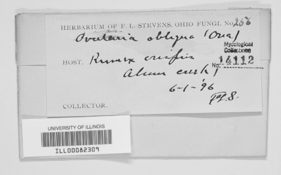
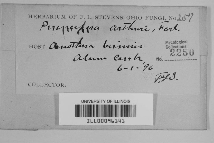
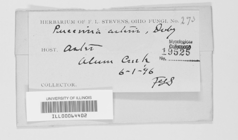
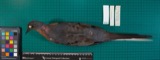
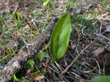
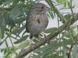
evidence. Museums hold 2,757 specimens
collected within 10 miles of Elliott Hall, Sturges Library, And Merrick Hall between 1850 and 1975: 2,592 Animalia, 100 Plantae, 60 Fungi, 2 Unrecorded, 2 Protozoa, 1 Chromista.
12 distinct Species records are shown.
Collected by A S BRADSHAW, A. P. Morgan, A. Spreitzer & K. Borror and others. Each is a
physical object with a catalogue
number, and each entry opens the museum's record. This is what was
collected and kept, not a survey of what lives here - nothing can be
concluded from a species being absent.
Regional context, not property-specific
evidence. The National Weather Service names
Delaware, the town this property stands in, in 83 storm reports between 1994 and 2025: 52 thunderstorm wind, 19 hail, 6 flood, 4 flash flood.
The reports record 1 injury. Each account below is quoted exactly as the forecast office
filed it, from the NOAA Storm Events Database, and each date
opens the federal record of that event.
Trees and limbs were downed, at least one falling on a house. Outbuildings were damaged. A 36 year-old man had to be hospitalized after lightning hit the barn he was in as he sat in a metal chair.
As much as five inches of rain caused severe flooding in and around Delaware. 154 homes were damaged, many in subdivisions along State Route 257 northwest of Powell. 34 mobile homes in the Shroyers Mobile Home Park just north of Delaware sustained damage when the Olentangy River rose out of its banks, and forced a few evacuations. Numerous roads and bridges were damaged by high water and culvert washouts.
A weak tornado initially touched down just south of the Buckeye|Valley Middle School. The damage near the school was limited to|one tree with a limb down. The track continued north-northeast|into a residential area. In this residential area several 2 to 4|inch limbs were snapped and a few shallow-rooted trees were|uprooted. Roof damage was observed due to a fallen tree on Coover|Road and a barn had part of the roof cave in on its east side.||The tornado lifted until it crossed US-23 just west of Delaware|Dam. A small cluster of trees were twisted on the west side of the|highway.||The next location is Delaware State Park where the tornado was on|the ground for a few minutes. At Delaware State Park, a few|partially rotten large limbs were downed and numerous 2 to 3 inch|limbs were also downed. Also, several shallow rooted trees were|uprooted. A medium-sized dumpster near the marina was tipped and|moved about 20 feet. Three boats at the marina sustained minor|awning damage. A few 2 to 3 inch tree limbs around the marina were|snapped. Across the river from the marina, a snapped limb marked|the end of the tornado track.
A two to three foot diameter tree was reported down. Several tree limbs fell on cars. Railroad crossing arm guard equipment was damaged. These occurrences were due to damaging thunderstorm winds.
1 paper published in this town,
digitised by the Library of Congress and free to read. Every page is searchable, so a name or a street can be
looked for directly in what the town printed about itself at the time.
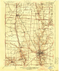
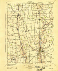
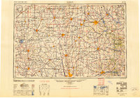
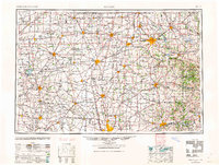
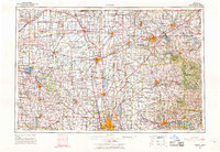
United States Geological Survey topographic
sheets whose coverage includes this point. Matched by taking the coordinate the National Park Service records for this property, then
testing that coordinate against the published boundary of every sheet.
When this property was proposed for the
National Register, someone wrote the case for it: what the building is,
and why it matters. That document is a federal record in the public domain.
It is quoted below word for word, never summarised. The text was read off the scanned case file by machine, so the
occasional stray character is the recogniser's and the 1970s
typewriter's.
Description of the property
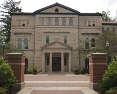
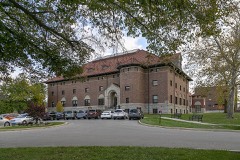
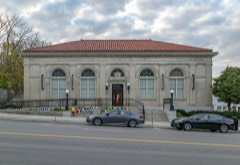
vation include a central arched entry, on the ground floor, which is flanked two Doric columns which extend to the Doric frieze above the third floor. Originally, the ground floor of Elliott was divided into dining room, kit- these original partitions are still in place. Moreover, much of the hand- Although Sturges Library is slightly larger than Elliott Hall, it is a Ionic Design, 61' x 51' x 23' high. From the ceiling rose a dome upon a were substituted for an upper floor, and below them were 10 alcoves, 5 on each side of the room.
In the middle was a hallway 23' wide, terminated at each end by an ornamental window 16g' high and 7' wide, surrounded by a Merrick Hall.is of random coursed, undressed stone construction with 3 JAN 1 8 1973- CONDITION DESCRIPTION NATIONAL REGISTER somely-carved woodwork remains intact. floors and basement.Its composition is a dominant central section and though rooms have been extensively remodeled into offices and classrooms, campus museum.) tures dressed belt courses defining the floors.The corners of the build- The roof is hipped and has a low square cupola with elliptical windows. devoted to offices and classrooms, there is no central hallway on any gutted and rebuilt to.make it a 3-floored structure with an attic. (Check One) faithful copy brick and stone) of Elliott.
- Unexposed dancing parlor. floors, as well as all doors, windows and casings, are of wood. The origi- *X Moved area accommodating the college library. This library room was pure Grecian stone. The window trim is also of dressed stone as well as the coping around the shaped wall gables.
event of the educational renaissance in the Methodist Church about erality and public spirit" of the townspeople, although Delaware was a maj- Elliott Hall, built in 1833, is Ohio's oldest collegiate Greek revival revelry"). In 1844, soon after the founding of Ohio Wesleyan (1842), the studies, and the downstairs was used for the chapel. Although Elliott was The additional funds were collected by Professor Frederick Merrick, and the structure was begun in 1868, but not completed until 1873 due to financial and Cabinets", the science museum. Elliott Hall and Sturges Library are almost identical in style and, Front": Elliott in wood, Sturges in brick, and Thomson in stone.
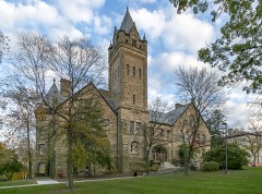
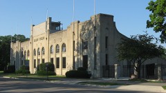
These Merrick Hal1 departs from the Greek tradition of Elliott and Sturges, serv- then, evolved in a complementary way at Ohio Wesleyan and have an embodi- ment in Elliott, Sturges and Merrick Halls. Commerce losophy Architecture Communications Engineering Theater Transportation Aboriginal Agriculture Military Religion/Phi Music itarian Literature Conservation Education SIGNIFICANCE Social/Human- Invention Pre-Columbian Sculpture classics-oriented curriculum of the university was giving way to a more By the turn of the century Sturges Library had become one of the finest founders purchased the declining hotel and converted it into the college Merrick's wide range of contributions during his 43 years of service to used continuously since 1844 for college purposes.
ing as a transition to the later Richardsonian Romanesque of Gray Chapel, Industry Landscape several of the science faculty and the third floor was given over to Museum built alongside in 1893.At the time of Merrick Ha11's construction, the the construction of Ohio Wesleyan's first buildings. REGISTER along with Thomson Chape1 in the 1890s),comprised the Doric college libraries in the country.
Quoted from the National Register nomination
for reference 73001430, 20 pages, held by the National Archives in Record
Group 79. See the
catalogue record.
Listed places nearby
6 within 8 miles
Other National Register properties close
enough to walk or drive between, ordered by distance from this one. Both
positions come from the same geocoding pass that matched these properties
to their map sheets.
Listing record. National Park Service National Register of Historic Places, listed-properties dataset, current to 2026-05-22.
Map join. Address geocoded through the United States Census geocoder, then tested against the published boundary of every sheet in the USGS Historical Topographic Map Collection.
How this page is made. Listing fields come from federal records; map-sheet coverage is a labelled coordinate-to-boundary calculation, not a source-field claim.
Specimens. Global Biodiversity Information Facility (GBIF), https://www.gbif.org/. Only records licensed CC0 or CC BY are used. Records licensed CC BY-NC are excluded because this site carries advertising. Images are checked individually and any whose licence is non-commercial, no-derivatives or unreadable is refused.
Storms. NOAA National Centers for Environmental Information, Storm Events Database https://www.ncei.noaa.gov/stormevents/ A work of the United States government, no copyright under 17 U.S.C. 105. Narratives are quoted verbatim from the National Weather Service report and are not edited or summarised.
 Block