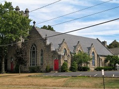
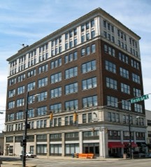
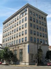
Built in 1894. Listed on the National Register of Historic Places in
1973. A historic map-sheet match is not published yet. The record needs a coordinate-quality review before it can be joined to a sheet boundary.
From the record
“Oil first ptige our readers will find an article of considerable interest, especially to the people of towns and cities in regard to local taxation.”
National Register reference number.73001535- the number the National Park Service assigned this property when it was listed, and the key its nomination file is catalogued under at the National Archives.
The ground it stands on
4,094 words
The chapter on Massillon City in Massillon Independent (1872-01-24), published 1872 names Massillon. This is what it says, exactly as the scans read.
Oil first ptige our readers will find an article of considerable interest, especially to the people of towns and cities in regard to local taxation. Massillon in that list o* names is placed in the pioud position o having no 'public debt, an ho'norable and fortunate place to occupy, but our city has very little company of this class while there |ire many in quite a different position - and some of them badly so.
A petition will be presented to the commissioners of Stark country, at ihei^Mar-li session, praying tor the location of a County road in Perry township, running ns follows: Commencing at the smith end of a certain street in West Massillon, now laid out, and lying between lots No. 21, .29 and 30 of au amicable partition of certain lands made by W S Wetmore, R S Fay, and the executors of AmosJJlrney, deceased, Oct. 17th, A D 1848, of which the map or plat, together with a memorandum of the same is recorded in the records of Stark Co., O., and to which reference is here made f::r more particular discription; and running thence along the line of a private road now laid out through the lands of Thomas McCullough, Isaac Steese and Kent J Chase, and from the tcr-" minus of said private road, by the best and most practicable route until it connects with a County road running through'lancJs owned by John G Warwick.A PETITIONER.
Regional context, not property-specific
evidence. The
federal wildfire occurrence database
lists 1 fire within 5 miles of Five Oaks between
2005 and 2005, burning about 8 acres in total. None started naturally. None was recorded as arson.
Distance is straight-line from the map coordinates, so a fire counted
here may appear on a neighbouring settlement's page as well.
Reported cause
Fires
Debris and open burning
1
The most recent of
them, most recent first, with the day each was reported and the service
that recorded it.
Regional context, not property-specific
evidence. Museums hold 432 specimens
collected within 10 miles of Five Oaks between 1836 and
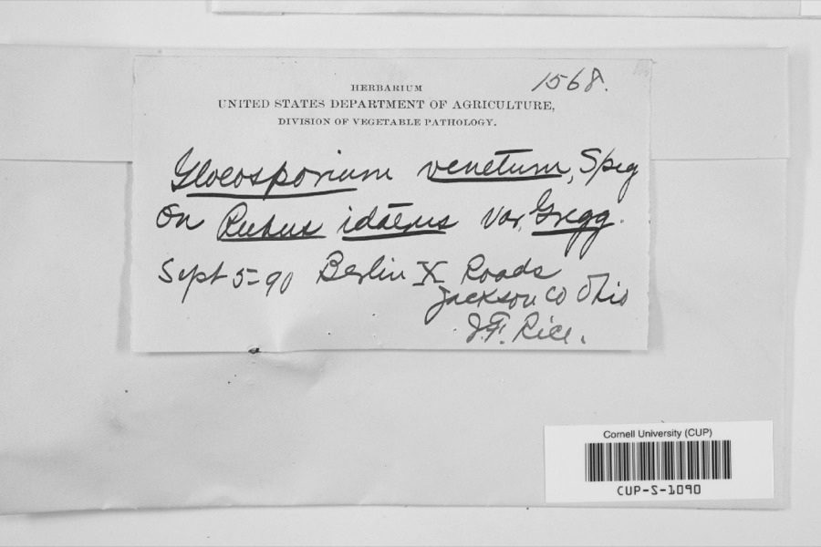
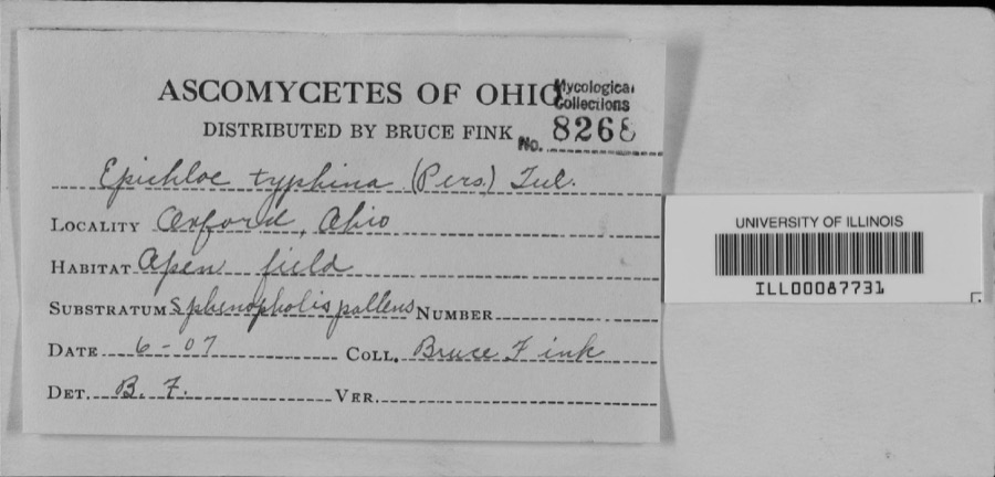
1975: 372 Animalia, 47 Plantae, 8 Unrecorded, 4 Fungi, 1 Protozoa. 12 distinct Species records are shown.
Collected by A.M. Rogers, Anson A. Hinkley, Antonio, T. and others. Each is a
physical object with a catalogue
number, and each entry opens the museum's record. This is what was
collected and kept, not a survey of what lives here - nothing can be
concluded from a species being absent.
Regional context, not property-specific
evidence. The federal mineral resources record lists
8 workings within 5 miles of Five Oaks: 3 past producers, 3 producers, 2 plants.
5 still produce. What was taken out: Sand and Gravel, Construction, Iron. Distance is straight-line from the
map coordinates, so a quarry counted here may appear on a neighbouring
settlement's page as well.
Regional context, not property-specific
evidence. The National Weather Service names
Massillon, the town this property stands in, in 46 storm reports between 1996 and 2022: 20 hail, 19 thunderstorm wind, 2 flash flood, 2 tornado.
The reports record 1 injury. Each account below is quoted exactly as the forecast office
filed it, from the NOAA Storm Events Database, and each date
opens the federal record of that event.
A 46 year old male was struck by lightning on the northeast side of Massillon. The man was standing just outside of his house and was taken to a hospital and treated for minor injuries. The house suffered extensive electrical damage from the strike.
The Chippewa Creek, a tributary for the Tuscarawas River measured an estimated 7.34 between the 11th and 17th of June, again with 3 to 5 inches falling on the 16th and 17th. Heavy rain over the headwaters of the Tuscarwas River were averaged 7.65 for from June 11 through the 17th, with 3 to 5 inches falling on the 16th and 17th. The Tuscarawas River basin average rainfall for June 11 through June 17th was 7.58 with 3 to 5 falling during the 16th and 17th. As a result of concurrent major flooding on the tributary Chippewa Creek and the headwaters of the Tuscarawas River resulted in a flood near the 0.2 percent or 500 year flood level at the confluence in Canal Fulton and Clinton. Downstream of Canal Fulton the Tuscarawas River reached a near 1 percent recurrence flood, or 100 year event in the City of Massillon.||11 AM On June 18th, the flood gauge was 14.82 ft. which made it the fourth highest recording since 1913. Massillon is a City protected by extensive levee systems through most of the town. Therefore most of the city is not impacted by flood waters until major flood stage. Near 3rd St. ad Lake Ave there is water up to the foundation of 3-6 homes, water over 3rd SW St., and water up to the bottom of the bridge of Lake Ave. Further downstream in Navarre flood waters covered Center Street NW and Ohio Street SW (U.S. Route 62), a major thruway.
A tornado touched down in Massillon between Tremont Avenue SW and Lincoln Way West just west of State Route 21. From the initial touchdown site, the tornado traveled northeast along a track roughly parallel to Lincoln Way and lifted to the west of State Route 241 after being on the ground for about three quarters of a mile. The tornado touched down a second time in Perry Township north of Valerie Street NW. The tornado tracked northeast across Jackson Street and dissipated near the intersection of Perry Street and Harris Avenue. This segment was also roughly three quarters of a mile in length and around 25 yards in width. A home was damaged on Tremont Avenue and several businesses sustained window and roof damage as the tornado moved through downtown Massillon. A semi truck and several large signs were also blown over in this area. Further northeast in Perry Township, four homes lost entire roofs in the area between Nottingham and List Streets. Many cars, including one with a board driven through it's door, were damaged or destroyed by trees and flying debris in this same area. A total of 23 properties sustained either roof and siding damage or downed trees on List Street alone.
A severe thunderstorm rolled through the county, producing a large swatch of golf ball size hail. Numerous spotters observed the severe hail lasting for several minutes.
Thunderstorms dumped between one and two inches of rain on portions of Stark County in a very short period of time. 1.93 inches of rain was measured by an automated gage near Genoa in about 90 minutes. Widespread urban and lowland flooding occurred between Massilon and Canton. Water on some roadways was as much as two feet deep.
Numerous trees and large limbs were reported down on a golf course in the area. As many as 25 trees were either completely downed or had large limbs broken from them.
Thunderstorm winds uprooted a large tree which landed on a house and damaged it. A few other trees were reported down across the north side of Massillon.
This EF0 tornado began at the intersection of Lincoln Way W and 26th Street NW in Massillon, where hardwood trees were uprooted. As the tornado moved southeastward, ten turbine fans were ripped off the roof of a warehouse at Shearer's Stark Distribution Center on Phoenix Avenue SE in Massillon. Farther along the tornado's path, it uprooted trees and destroyed a barn at a farm along Kemary Avenue SW, about 0.9 miles south-southwest of Richville. The tornado progressed southeastward toward East Sparta. As it approached the town, softwood trees were uprooted along Downing Street SW, about 0.2 miles east-southeast of Briggle Avenue SW. In addition, a home lost a portion of its roof about 0.25 miles west-northwest of the intersection of Ridge Avenue SE and Farber Street SE. Afterward, the EF0 tornado veered toward the south-southeast. Softwood trees were uprooted along Chestnut Avenue SE, about 0.5 miles south of downtown East Sparta. The tornado uprooted more softwood trees about 0.1 miles north-northwest of the intersection of OH 800 and Steele Drive NE before moving into Tuscarawas County. No fatalities or injuries occurred.
Trees down where Lincoln Way NW intersects 28th Street NW, 20th Street NW, and 17th Street NW. Large uprooted tree at Erie Street S and Forest Avenue SE. Considering the nearby tornado was no more than 100 yards wide, this tree damage in Massillon was likely related to straight-line winds.
Saturated ground conditions from recent rains set the stage for flooding on the 24th as a cold front moved into Stark County. Showers developed along this boundary, with rainfall amounts recorded at 0.80 inches in NE Canton and 0.50 inches in NW Canton. Though not a significant amount of rainfall, it became almost entirely runoff. The result was flooding of several roads, mainly in the Canton and Massillon Areas. Some roads flooded include RT21 from Lake to Cherry St. in Massillon along with Fire Station #4. Most of the rainfall fell within 30 minutes, so the rate of the rainfall contributed to the level of flooding.
No historic map-sheet match is published
for this property yet. That does not mean no map exists. This record needs
a coordinate-quality review before it can be joined to a sheet boundary.
Browse the county's mapped places while that work is
pending.
From the nomination file
2,208 words on record
When this property was proposed for the
National Register, someone wrote the case for it: what the building is,
and why it matters. That document is a federal record in the public domain.
It is quoted below word for word, never summarised. The text was read off the scanned case file by machine, so the
occasional stray character is the recogniser's and the 1970s
typewriter's.
Description of the property
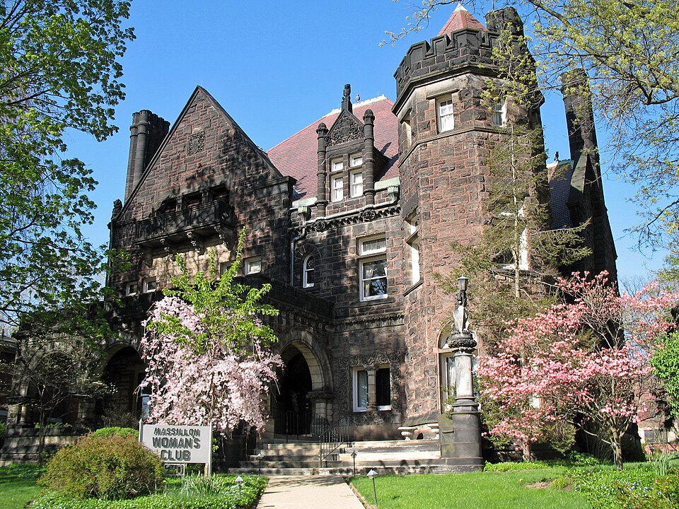
The James Walter McClymonds residence, now the Massillon Woman's Club, as a complex, yet ordered arrangement of eclectic architectural details of matching stone on the west and part of the south boundaries and with brick capped with stone on the remainder. There is a carriage entrance with wrought iron gates to the east.
Exterior: The facade has a fourth-story parapeted gable to the north, a The front wall of the porch has three low-slung Gothic arches supported by The third floor of the gable has a centered, recessed porch fronted by a opening of this porch is framed by a wide lintel and side pilaster in dormer with a richly embellished gable peaked by a stone lion on a different window treatment; the first floor has three windows with leaded transomed windows on alternating sides of the tower; and the third floor the first name of the residence. front chimney is placed against the wall of a three-story bay which becomes a tower with eight-sided pyramidal roof at the third floor level.
Centrally placed on the north elevation is a porte cochere sheltering the framed dormers on the third floor and a prominent skylight that covers a glazed tile court with a Tiffany glass dome over the first floor billiards The hall fireplace (1893) is of carved limestone. A small reception room has carved and beaded paneling of white oak and leaded glass windows while the drawing room to the right of the hall features a large bay that is part of the tower as well as a marble tile fireplace and plaster frieze of torches and garlands in gold leaf. The adjoining library has ornate window room.
Born in New Lisbon, Ohio, he moved with his family to Massillon in 1860. to 1878 he worked his way up from clerk in the Russell & Company firm daughter, Edna, was married in the home with over 400 guests attending, large, stone mansions of successful Ohio businessmen of the late 1894 Engineering Communications Military losophy Conservation Theater Literature Religion/Phi Science itarian Education Prehistoric Commerce Agriculture Pre-Columbian Landscape Music Sculpture Invention Aboriginal Industry This house is significant as one of the best preserved of the lavish, reached the rank of captain before being discharged in 1865.From 1866 National Bank of Massillon which he organized and established in 1890. including President and Mrs. McKinley.
electors when Benjamin Harrison was elected President. Urban Planning REGISTER stone from the Everhard Quarry in Massillon and woodcarvers were Social/Human NATIONAL to secretary-treasurer and finally president of the firm in 1888.He McClymonds was also donated and remains in the home today. Company and Russell Engine Company, and president of the Merchant's considered by many to be Mr.Schweinfurth's most distinguished work.
employed for all the ornate interior design.This structure is In 1892 work was begun on the construction of his residence to be called In 186l he enlisted in the Nineteenth Ohio Volunteer Infantry and Edna McClymonds Wales and Ruth McClymonds Maitland made a gift of the of the prominent businessmen of Ohio, president of Russell g was always an ardent Republican and in 1888 was one of the presidential Club was founded in 1919 by a group of women who were Red Cross workers The home was completed in 1894.In the spring of 1900 McClymond's house to the women of Massillon in 1920. The Massillon Woman's AREAS OF SIGNIFICANCE (Check One or More as Appropriate) J.
Quoted from the National Register nomination
for reference 73001535, 14 pages, held by the National Archives in Record
Group 79. See the
catalogue record.
Listed places nearby
6 within 8 miles
Other National Register properties close
enough to walk or drive between, ordered by distance from this one. Both
positions come from the same geocoding pass that matched these properties
to their map sheets.
Listing record. National Park Service National Register of Historic Places, listed-properties dataset, current to 2026-05-22.
Map join. Address geocoded through the United States Census geocoder, then tested against the published boundary of every sheet in the USGS Historical Topographic Map Collection.
How this page is made. Listing fields come from federal records; map-sheet coverage is a labelled coordinate-to-boundary calculation, not a source-field claim.
Wildfire. Short, Karen C. 2022. Spatial wildfire occurrence data for the United States, 1992-2020 [FPA_FOD_20221014]. 6th Edition. Fort Collins, CO: Forest Service Research Data Archive. https://doi.org/10.2737/RDS-2013-0009.6 Collected with United States Government funding and usable without additional permissions or fees.
Specimens. Global Biodiversity Information Facility (GBIF), https://www.gbif.org/. Only records licensed CC0 or CC BY are used. Records licensed CC BY-NC are excluded because this site carries advertising. Images are checked individually and any whose licence is non-commercial, no-derivatives or unreadable is refused.
Mines and quarries. USGS Mineral Resources Data System (MRDS) https://mrdata.usgs.gov/mrds/ A work of the United States government, no copyright under 17 U.S.C. 105.
Storms. NOAA National Centers for Environmental Information, Storm Events Database https://www.ncei.noaa.gov/stormevents/ A work of the United States government, no copyright under 17 U.S.C. 105. Narratives are quoted verbatim from the National Weather Service report and are not edited or summarised.
 Block
Block