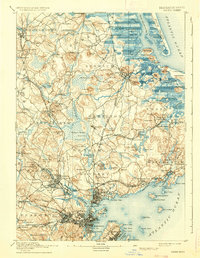
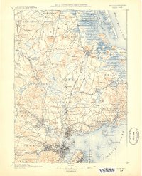
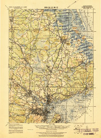
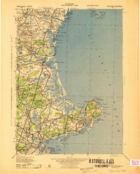
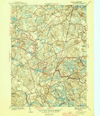
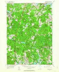
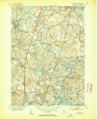
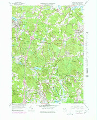
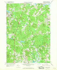
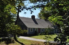
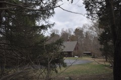
Listed on the National Register of Historic Places in 1974. 17 historic topographic surveys show this location, the earliest from 1888.
From the record
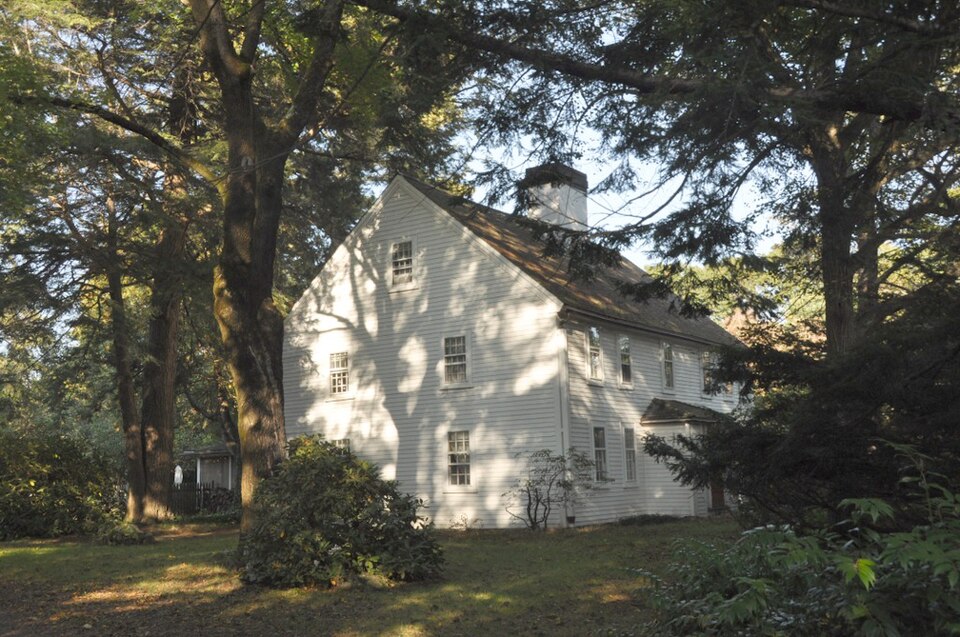
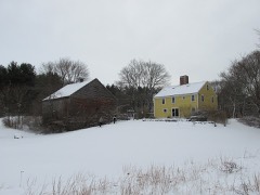
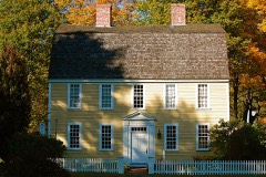
“The Spofford-Barnes House is a historic colonial house at 20 Kelsey Road in Boxford, Massachusetts. The wood-frame house was built in 1749 by Paul Pritchard, a leading citizen of town.”
Wikipedia article Spofford-Barnes House, CC BY-SA 4.0.
One of 480 National Register listings published here for Essex County · listed in 1974 · category: Building.
National Register reference number.74000366- the number the National Park Service assigned this property when it was listed, and the key its nomination file is catalogued under at the National Archives.
Then and now
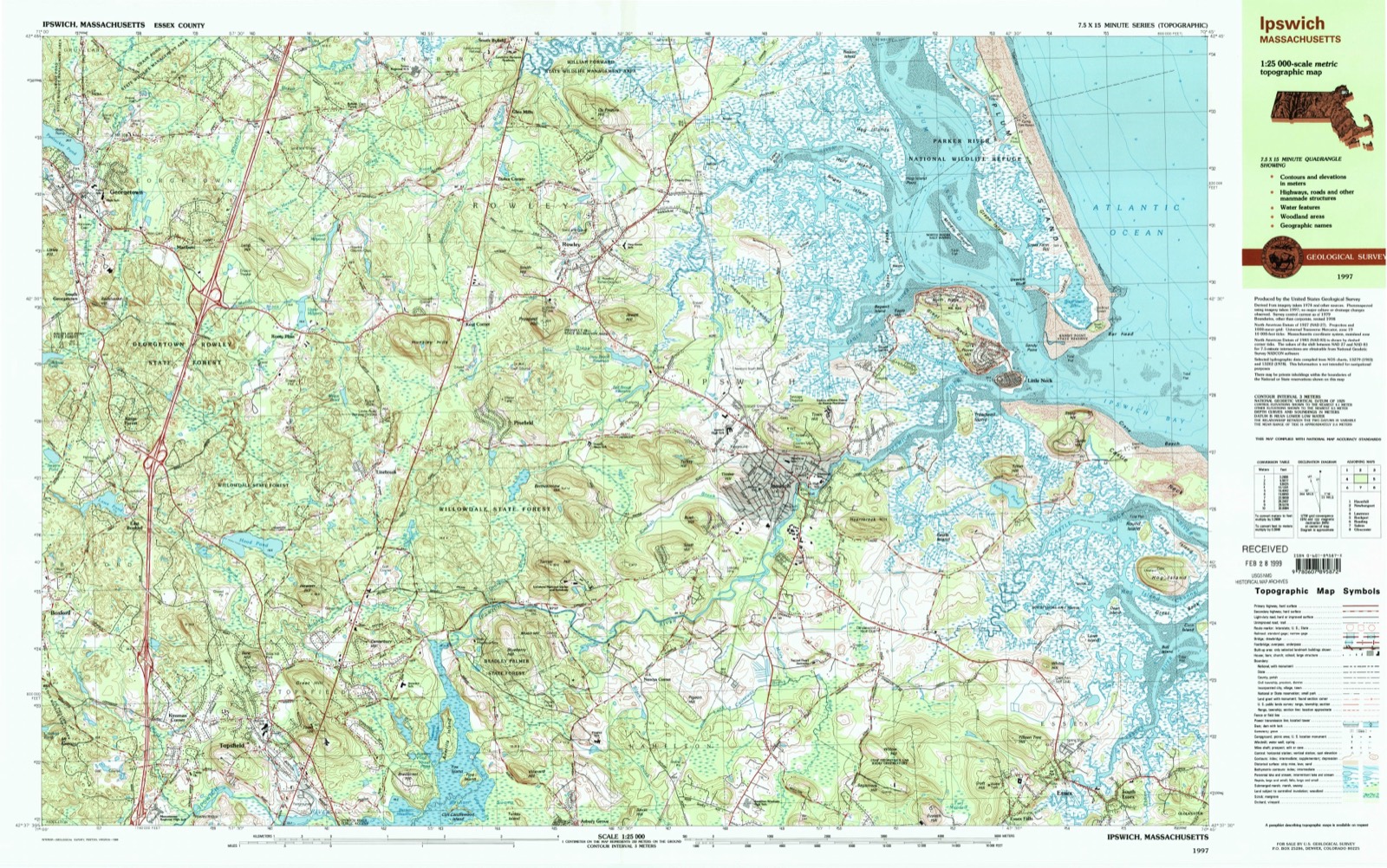
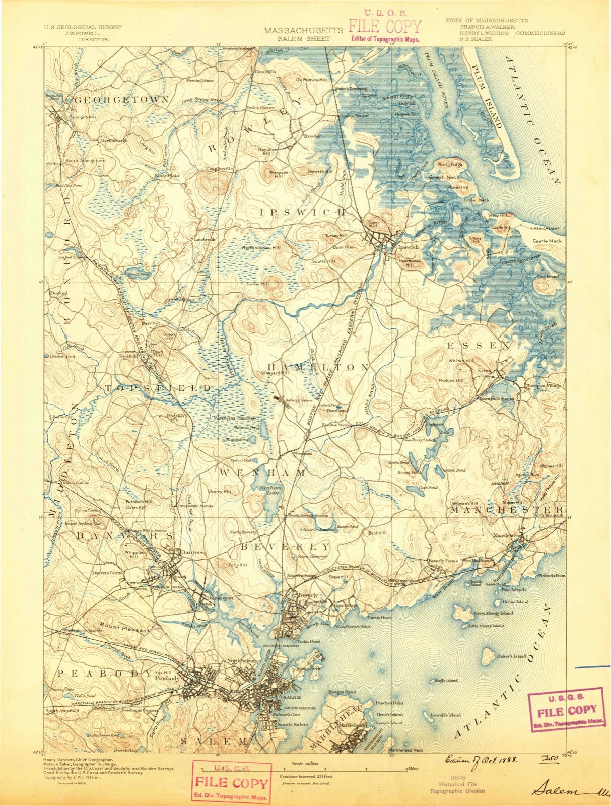
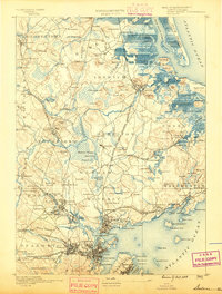
1888 to 1997
The ground this property stands on, surveyed
109 years apart. Drag the handle to wipe between them. Both sheets are
United States Geological Survey originals; neither has been altered.
Regional context, not property-specific
evidence. The
federal wildfire occurrence database
lists 67 fires within 5 miles of Spofford-Barnes House
between 2007 and 2020, burning about 219 acres in total. 1 started naturally. 9 were recorded as arson.
Distance is straight-line from the map coordinates, so a fire counted
here may appear on a neighbouring settlement's page as well.
Reported cause
Fires
Debris and open burning
21
Recreation and ceremony
10
Arson/incendiarism
9
Missing data/not specified/undetermined
8
Equipment and vehicle use
8
Power generation/transmission/distribution
5
Smoking
4
Natural
1
Misuse of fire by a minor
1
The most recent of
them, most recent first, with the day each was reported and the service
that recorded it.
Regional context, not property-specific
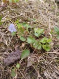
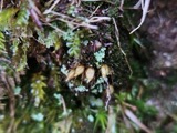
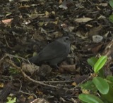
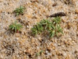
evidence. Museums hold 2,754 specimens
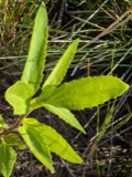
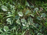
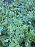
collected within 10 miles of Spofford-Barnes House between 1800 and 1975: 1,180 Plantae, 937 Animalia, 582 Fungi, 25 Chromista, 14 Unrecorded, 12 Protozoa, 4 Bacteria.
12 distinct Species records are shown.
Collected by A Brown, A. B. Seymour, A. C. Mathieson and others. Each is a
physical object with a catalogue
number, and each entry opens the museum's record. This is what was
collected and kept, not a survey of what lives here - nothing can be
concluded from a species being absent.
Regional context, not property-specific
evidence. The federal mineral resources record lists
4 workings within 5 miles of Spofford-Barnes House: 4 past producers.
None of them still produces. What was taken out: Sand and Gravel, Construction, Sulfur, Iron. Distance is straight-line from the
map coordinates, so a quarry counted here may appear on a neighbouring
settlement's page as well.
Regional context, not property-specific
evidence. The National Weather Service names
Boxford, the town this property stands in, in 17 storm reports between 2006 and 2023: 14 thunderstorm wind, 2 hail, 1 lightning.
No death or injury is recorded in these reports. Each account below is quoted exactly as the forecast office
filed it, from the NOAA Storm Events Database, and each date
opens the federal record of that event.
In Topsfield, a tree and wires were down on Haverhill Rd (Rt 97) at Ipswich Rd. A tree was down on Rowley Rd and a tree was down on wires on Wilmor Rd.
United States Geological Survey topographic
sheets whose coverage includes this point. Matched by taking the coordinate the National Park Service records for this property, then
testing that coordinate against the published boundary of every sheet.
When this property was proposed for the
National Register, someone wrote the case for it: what the building is,
and why it matters. That document is a federal record in the public domain.
It is quoted below word for word, never summarised. The text was read off the scanned case file by machine, so the
occasional stray character is the recogniser's and the 1970s
typewriter's.
Description of the property
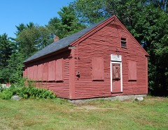
The Spofford-Barnes House, built in 1749, is located on a narrow rural road in East Boxford, midway between the Howe Village and Boxford Village Historic Districts.It faces south towards mixed field, wood, and lowlands. The gener- al area is suburban-residential. Although the area is fully developed, the nearby houses are widely spaced in response to the prevailing two-acre zoning minimums. The old barn, 100 feet west of the house, was the home of the Kelsey Nursery from 1928-1952 and is surrounded by an arboretum of mature trees and plantings, mostly hybrid rhododendron and azalea, many of which are rare. The Spofford-Barnes House, owned by the Kelsey family from 1926-1961, is also wel1 planted. On the north is an open field backed by woodland.
The symmetrical 23-story Colonial house is of center entrance,center chimney design, and is covered with white painted clapboard. It is five bays wide and two deep. The wood shingled ridge roof is interrupted by a massive center chimney forward of the peak. The 2½-story ell, three bays long and two wide, extends from the northeast end and has a small chimney in the gable end at the ridge peak. The low foundation of the house is of field stone. The front - ho lon toumdacson (south) center entrance has a modest hip roof "sentry box" vestibule which was added shortly after the Civil War. The door is of appropriate double- crossed construction, and flanked by narrow vertical lights.
The east and west facades have entrances off-center to the north of the peak, with single- crossed modern doors containing lights in the upper half. The ell has two similar modern doors. The windows are regularly spaced, double-hung, with a mix of sash (6/6, 6/9, and 8/12) and have simple wooden lintels and sills.
The Spofford-Barnes House is significant for two reasons. First, it was the home of Iydia Warfen (Spofford),1745-1839, who, in 1775, had single-handedly taken the first prisoner in the Revólutionary war. She resided in the house for the last 47 years of her life.' Lydia's husband,Benjamin Spofford, was significant to town history as the key figure in the traumatic formation of the Third Congregational Church in Boxford. Although the :house was built in 1749 by Paul Pritchard, a house-wright, it is more properly named for the family which lived in it for 124 years, from 1789 to 1911. (Benjamin Spoff- ord's daughter,Sally, married Phineas Barnes in 1807). LYDIA WARREN SPOFFORD (1745-1839) Benjamin Spofford was the third owner of the Spofford-Barnes House.
In 1792 he married e, Lydia Wood, a neighbor. Lydia was the widow of Aaron Wood, who was a representative from Boxford before and during the Revolutionary War, a justice of the "Peace and Quorum" under King George, and later a senator and member of the Governor's Council. Lydia's first husband was David Barnard of Watertown, a Minute Man in the Revolution. It was at that time that Lydia was confronted with events that led to her capture of a"Red Coat" on April 19,1775. Thus she is known for taking the first prisoner of the Revolutionary War. She died in Boxford in 1839 and was buried a short distance from the house in Harmony Cemetery beside her second husband, Aaron Wood.
BENJAMIN SPOFFORD (1752-1836) Benjamin Spofford bought the house from Amos Perley about a year or two after Spofford's first marriage in 1786, and he lived there until shortly before his death, when, due to infirmities of age, he went to Georgetown to be cared for by his daughter.
Quoted from the National Register nomination
for reference 74000366, 10 pages, held by the National Archives in Record
Group 79. See the
catalogue record.
Listed places nearby
6 within 8 miles
Other National Register properties close
enough to walk or drive between, ordered by distance from this one. Both
positions come from the same geocoding pass that matched these properties
to their map sheets.
Listing record. National Park Service National Register of Historic Places, listed-properties dataset, current to 2026-05-22.
Map join. Address geocoded through the United States Census geocoder, then tested against the published boundary of every sheet in the USGS Historical Topographic Map Collection.
How this page is made. Listing fields come from federal records; map-sheet coverage is a labelled coordinate-to-boundary calculation, not a source-field claim.
Wildfire. Short, Karen C. 2022. Spatial wildfire occurrence data for the United States, 1992-2020 [FPA_FOD_20221014]. 6th Edition. Fort Collins, CO: Forest Service Research Data Archive. https://doi.org/10.2737/RDS-2013-0009.6 Collected with United States Government funding and usable without additional permissions or fees.
Specimens. Global Biodiversity Information Facility (GBIF), https://www.gbif.org/. Only records licensed CC0 or CC BY are used. Records licensed CC BY-NC are excluded because this site carries advertising. Images are checked individually and any whose licence is non-commercial, no-derivatives or unreadable is refused.
Mines and quarries. USGS Mineral Resources Data System (MRDS) https://mrdata.usgs.gov/mrds/ A work of the United States government, no copyright under 17 U.S.C. 105.
Storms. NOAA National Centers for Environmental Information, Storm Events Database https://www.ncei.noaa.gov/stormevents/ A work of the United States government, no copyright under 17 U.S.C. 105. Narratives are quoted verbatim from the National Weather Service report and are not edited or summarised.
 Block