Listed on the National Register of Historic Places in
1974. A historic map-sheet match is not published yet. The record needs a coordinate-quality review before it can be joined to a sheet boundary.
From the record
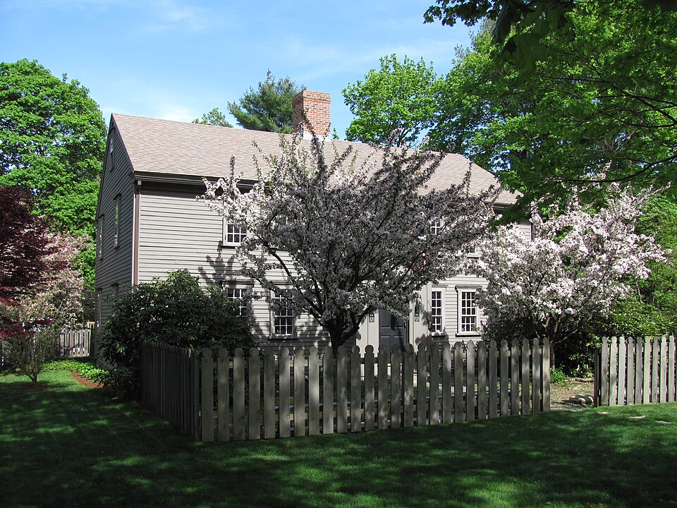
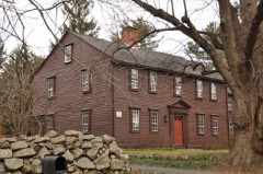
“The John Partridge House is a historic house in Millis, Massachusetts.”
Wikipedia article John Partridge House, CC BY-SA 4.0.
one of 249 National Register listings in Norfolk County · listed in 1974 · category: Building · one of 2 National Historic Landmarks in Norfolk County.
National Register reference number.74000377- the number the National Park Service assigned this property when it was listed, and the key its nomination file is catalogued under at the National Archives.
Fires near this property
90 since 2007
Regional context, not property-specific
evidence. The
federal wildfire occurrence database
lists 90 fires within 5 miles of Partridge, John, House between
2007 and 2020, burning about 48 acres in total. 3 started naturally. 1 was recorded as arson.
Distance is straight-line from the map coordinates, so a fire counted
here may appear on a neighbouring settlement's page as well.
Reported cause
Fires
Missing data/not specified/undetermined
35
Debris and open burning
27
Recreation and ceremony
17
Power generation/transmission/distribution
6
Natural
3
Arson/incendiarism
1
Fireworks
1
The most recent of
them, most recent first, with the day each was reported and the service
that recorded it.
Regional context, not property-specific
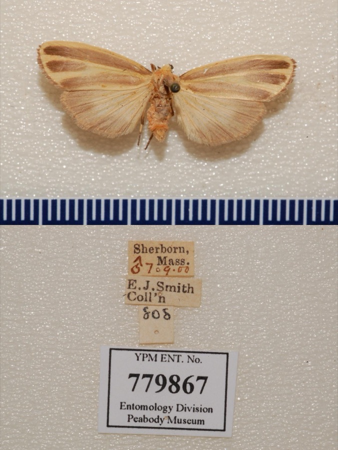
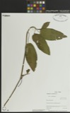
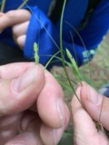
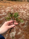
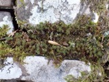
evidence. Museums hold 7,785 specimens
collected within 10 miles of Partridge, John, House between 1832 and
1975: 4,207 Animalia, 1,760 Plantae, 1,656 Fungi, 97 Protozoa, 35 Chromista, 29 Unrecorded, 1 Bacteria. 12 distinct Species records are shown.
Collected by A Herz, A. A. Eaton, A. B. Seymour and others. Each is a
physical object with a catalogue
number, and each entry opens the museum's record. This is what was
collected and kept, not a survey of what lives here - nothing can be
concluded from a species being absent.
Regional context, not property-specific
evidence. The federal mineral resources record lists
19 workings within 5 miles of Partridge, John, House: 12 past producers, 6 producers, 1 plant.
7 still produce. What was taken out: Sand and Gravel, Construction, Granite, Stone, Stone, Crushed/Broken. Distance is straight-line from the
map coordinates, so a quarry counted here may appear on a neighbouring
settlement's page as well.
Regional context, not property-specific
evidence. The National Weather Service names
Millis, the town this property stands in, in 3 storm reports between 2001 and 2020: 2 thunderstorm wind, 1 tornado.
No death or injury is recorded in these reports. Each account below is quoted exactly as the forecast office
filed it, from the NOAA Storm Events Database, and each date
opens the federal record of that event.
Based on information received from emergency management officials and based on Doppler radar imagery, the National Weather Service conducted a survey on Oct. 15 and was able to determine that a weak tornado circulation occurred in a small portion of the town of Millis, MA on October 7. It was embedded within the larger area of derecho/straight-line wind damages that occurred. It was on the ground for less than a minute, traveled about one-half mile, had a path width of only 50 yards, and estimated maximum wind speeds of 75 to 80 mph.||The tornado began near Orchard Street, just to the west of Ridge Street, and traveled east-southeastward to the Oak Grove Playground/Millis Historical Commission on Exchange Street. On Orchard Street, the tops of a few large trees were sheared off. According to one resident, she had two trees down from west to east in her back yard, but she observed the wind change directions and the aforementioned tree tops were blown northward, landing in her yard. At the Oak Grove Playground, a large tree was downed from west to east but a metal lamp post was blown northwestward toward that tree. Other trees were observed down from as far west as Tupello Road to as far south as Causeway Street and Island Road. Damage reportedly went as far east as Environmental Drive, Larch Road, and Dwight Street, but that had since been cleaned up. Those damage areas likely were associated with the broader straight-line winds of the large-scale derecho that impacted much of Massachusetts, northeast Connecticut, and northern Rhode Island on October 7th.
No historic map-sheet match is published
for this property yet. That does not mean no map exists. This record needs
a coordinate-quality review before it can be joined to a sheet boundary.
Browse the county's mapped places while that work is
pending.
From the nomination file
1,620 words on record
When this property was proposed for the
National Register, someone wrote the case for it: what the building is,
and why it matters. That document is a federal record in the public domain.
It is quoted below word for word, never summarised. The text was read off the scanned case file by machine, so the
occasional stray character is the recogniser's and the 1970s
typewriter's.
Description of the property
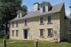
[X Moved Original Site The John Partridge House, built c.1659, is a 2½ story clapboard ridge roof Colonial with center chimney. It faces west on five acres of wooded land. The house is a near-duplicate of the Cooper-Frost-Austin House in Cambridge, built in 1657. While the Partridge House was partially burned by Indians in 1676, it was renovated to its original condition in the same year. It is five bays wide and two deep with a kitchen ell extending to the rear from the southeast corner. All of the narrow windows are 9/6 sash; those on the top floors are shuttered and those on the ground level have plain surrounds with a slightly protruding wooden lintel. The enclosed vestibule, in the center of the facade, is topped by a triangular pediment and flanked by plain pilasters.
There have been two additions to the house, one being a 19th c. open shed- roof porch on the south elevation, enclosed in the 1920's. The second is a library ell, c. 1940, running parallel to the kitchen ell, off the rear northeast corner of the house. The interior of the building has retained as much of its original fabric as has the exterior. The first floor consists of a dining room, living room, borning room, keeping room, and kitchen. Seven fireplaces are built around the central chimney stack. The dining room's fireplace is classic in design with reeded pilasters, and is flanked on one side by beehive ovens. The handsome panelling on the fireplace mantel is continued in the pine single- board panelling which encircles three walls of the room below the chair rail.
The ceiling exposes its summer beam, floor joists, and chimney, front and end girts. The room also retains its original flooring, pine boards which reach a width of 15".
18th Century 19th Century -:20th Century Political Religion/Phi. losophy UJ Science Sculpture ] Social/Human- itarian Theater Transportation Urban Planning Other (Specify) - The John Partridge House is the oldest dwelling in Millis. It was built in 1659 by John Partridge Sr. when Millis was still a part of Medfield and was comprised of a few scattered farms. John Partridge Sr. was primarily a farmer, but in 1672 he was also chosen clerk of the market. Of his several children, only John Partridge,Jr. remained in Millis. In 1682 John Jr. sold his house on Bridge Street and moved back to the present house. In 1704, two years before he died, John Sr. sold the property to his son. John Partridge Jr. became a schoolmaster in 1710 and a church deacon in 1714.
The architéctural significance of the house is notable as it is not only a handsome example of early Colonial architecture, but it also retains much ofits original fabric and structural details. Ihe owners have carefully restored it and plan to open it to the public. 3 14 12 RECEIVED MAY 1974 NATIONAL REGISTER
Quoted from the National Register nomination
for reference 74000377, 8 pages, held by the National Archives in Record
Group 79. See the
catalogue record.
Listed places nearby
6 within 8 miles
Other National Register properties close
enough to walk or drive between, ordered by distance from this one. Both
positions come from the same geocoding pass that matched these properties
to their map sheets.
Listing record. National Park Service National Register of Historic Places, listed-properties dataset, current to 2026-05-22.
Map join. Address geocoded through the United States Census geocoder, then tested against the published boundary of every sheet in the USGS Historical Topographic Map Collection.
How this page is made. Listing fields come from federal records; map-sheet coverage is a labelled coordinate-to-boundary calculation, not a source-field claim.
Wildfire. Short, Karen C. 2022. Spatial wildfire occurrence data for the United States, 1992-2020 [FPA_FOD_20221014]. 6th Edition. Fort Collins, CO: Forest Service Research Data Archive. https://doi.org/10.2737/RDS-2013-0009.6 Collected with United States Government funding and usable without additional permissions or fees.
Specimens. Global Biodiversity Information Facility (GBIF), https://www.gbif.org/. Only records licensed CC0 or CC BY are used. Records licensed CC BY-NC are excluded because this site carries advertising. Images are checked individually and any whose licence is non-commercial, no-derivatives or unreadable is refused.
Mines and quarries. USGS Mineral Resources Data System (MRDS) https://mrdata.usgs.gov/mrds/ A work of the United States government, no copyright under 17 U.S.C. 105.
Storms. NOAA National Centers for Environmental Information, Storm Events Database https://www.ncei.noaa.gov/stormevents/ A work of the United States government, no copyright under 17 U.S.C. 105. Narratives are quoted verbatim from the National Weather Service report and are not edited or summarised.
 Block
Block