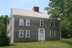
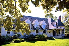
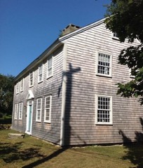
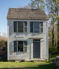
Built in 1770 in the colonial architecture. Listed on the National Register of Historic Places in
1975. A historic map-sheet match is not published yet. The record needs a coordinate-quality review before it can be joined to a sheet boundary.
From the record
“The West Schoolhouse is a historic school building at 61 Whig Street in Dennis, Massachusetts. Built c. 1770-75, this one-room schoolhouse is the oldest in Dennis.”
Wikipedia article West Schoolhouse (Dennis, Massachusetts), CC BY-SA 4.0.
one of 145 National Register listings in Barnstable County · listed in 1975 · category: Building · built in 1770, colonial architecture.
National Register reference number.75000262- the number the National Park Service assigned this property when it was listed, and the key its nomination file is catalogued under at the National Archives.
Regional context, not property-specific
evidence. The
federal wildfire occurrence database
lists 44 fires within 5 miles of West Schoolhouse between
2015 and 2020, burning about 11 acres in total. 5 started naturally. 6 were recorded as arson.
Distance is straight-line from the map coordinates, so a fire counted
here may appear on a neighbouring settlement's page as well.
Reported cause
Fires
Missing data/not specified/undetermined
17
Debris and open burning
9
Arson/incendiarism
6
Natural
5
Equipment and vehicle use
4
Recreation and ceremony
2
Smoking
1
The most recent of
them, most recent first, with the day each was reported and the service
that recorded it.
Regional context, not property-specific
evidence. Museums hold 4,596 specimens
collected within 10 miles of West Schoolhouse between 1866 and
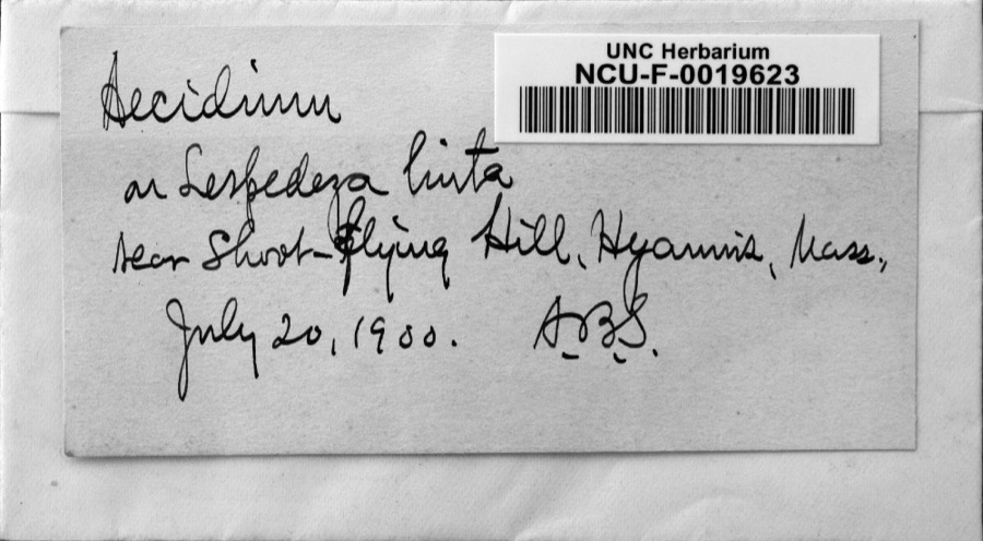
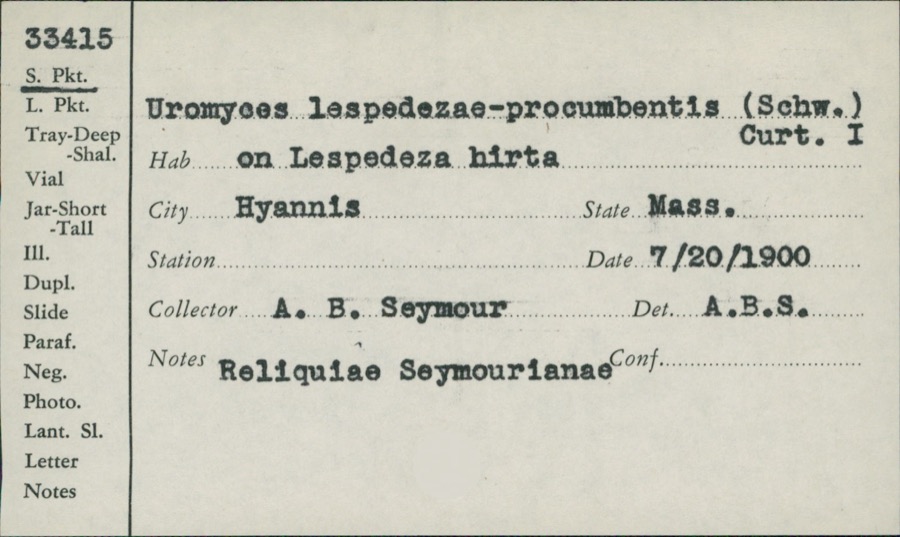
1975: 3,142 Animalia, 1,079 Plantae, 229 Fungi, 138 Chromista, 4 Bacteria, 3 Unrecorded, 1 Protozoa. 12 distinct Species records are shown.
Collected by A. B. Seymour, A. R. Hodgdon, A. R. Hodgdon; H. K. Svenson;D. Conant;J. Wicks and others. Each is a
physical object with a catalogue
number, and each entry opens the museum's record. This is what was
collected and kept, not a survey of what lives here - nothing can be
concluded from a species being absent.
Regional context, not property-specific
evidence. The National Weather Service names
Dennis, the town this property stands in, in 16 storm reports between 1997 and 2021: 4 hail, 4 thunderstorm wind, 3 flood, 2 flash flood.
No death or injury is recorded in these reports. Each account below is quoted exactly as the forecast office
filed it, from the NOAA Storm Events Database, and each date
opens the federal record of that event.
A NWS survey team determined that although a weak, shallow waterspout was observed over the southern end of the Bass River, the damage observed in West Dennis was from straight-line microburst winds, estimated at 90+ mph. Media and amateur radio contributed to the following reports, as well. Numerous trees and wires were snapped or downed at Wrinkle Point. Trees and wires were down on Loring Avenue. Wires were down on Corporation Road. Trees, wires, and a utility pole were down on Pleasant Street. Wires were down on a car on Depot Street at Vester Drive. Power lines were down on Old Wharf Road. Trees down on Sunset Drive. There were many others. State Emergency Management reported that the cost to Dennis just for cleaning up the roads was a whopping $860,000. Total estimates were approximately triple that figure, when accounting for individual homeowner and business claims.
A weak tornado briefly touched down at 130 AM in Dennis early in the morning and lasted for less than one minute. Damage was observed near the intersection of East Bay View Road and Wampanoag Trail. One home sustained damage when a window of a sun porch was blown in and others on an adjacent side were blown out. Outside patio furniture was lofted and landed across the street. Another house across the street had shingles blown off the roof in the opposite direction from other damage that was observed. Three large oak trees in the area also were blown down. One resident received the tornado warning prior to 1 AM and was able to seek shelter in the basement. The estimated maximum wind speed was 75 mph.
In Dennis, two utility poles were down and a third utility pole was cracked with wires down on Old Wharf Road near Beaten Road. The road was impassable.
At 1218 PM EST, a car was trapped in flood waters on Upper County Road near the Hart Farm. At 1220 AM EST, the parking lot at Ring Brothers Marketplace was flooded. At 1224 AM EST, Bob Crowell Road was flooded near the intersection with State Route 134 and the DPW was requested for assistance. At 1230 AM EST, the Sea Shell Motel on Chase Avenue had flooding on the first floor. At 321 AM EST, an amateur radio operator measured 6.95 inches of rain.
At 112 AM EST, State Route 6A in Yarmouth was reported flooded and impassable. At 600 AM EST, a Cocorahs observer in Yarmouth reported a storm total rainfall of 5.15 inches.
At 150 PM EST, State Route 28 in West Dennis near the Marina Bay Club Condominiums was flooded and impassable. The Community Collaborative Rain Hail Snow observer in South Dennis reported storm total rainfall of 3.57 inches.
Apache Drive near State Route 6A in Yarmouth was flooded with a car trapped in the floodwaters. A CoCoRaHS observer at Yarmouth measured a Storm Total Rainfall of 5.41 inches.
No historic map-sheet match is published
for this property yet. That does not mean no map exists. This record needs
a coordinate-quality review before it can be joined to a sheet boundary.
Browse the county's mapped places while that work is
pending.
From the nomination file
2,149 words on record
When this property was proposed for the
National Register, someone wrote the case for it: what the building is,
and why it matters. That document is a federal record in the public domain.
It is quoted below word for word, never summarised. The text was read off the scanned case file by machine, so the
occasional stray character is the recogniser's and the 1970s
typewriter's.
Description of the property
CHECK ONE ORIGINAL SITE IMOVED DATEFeb. 1974 The West Schoolhouse, built c. 1770-1775 by N. Stone, is a one story, one room, shingled structure. In February, 1974, it was moved from its original site in a residential area just south of Route 6A(Main Street) and west of the Dennis cemetery. The former site had been bought by a condominium developer, who was either going to demolish the building or move it to Harwich to be used as a bar. Because of action by interested citizens of Dennis, the Town acquired the property and had the structure moved onto the grounds of the Josiah Dennis Manse (in the National Register), also owned by the Town.
The school building is situated about 75 feet from the Josiah Dennis Manse, and although the build- ings are not related historically, they are compatible architecturally. The exterior of the schoolhouse is very simple. The south facade has plain cornerboards and a centered entrance approached by three temporary wooden steps. Iwo windows with plain trim flank either side of the entrance. The north elevation has five windows and the east and west gable ends have two windows. The windows, boarded up at present for protection, have 12/12 sash. The building sits on a concrete foundation, and has a non-original shingled ridge roof. The interior reveals the original hip roof contruction and rare "dragoned beam corners". The hip roof, once hidden by a ceiling, is now open to the ridge.
A ridge roof was constructed over the hip roof at some unknown date, but the original hip structure and sheathing were not destroyed. Each of the four corners of the building are braced with "dragon beam"-construction, peculiar to the area.
/ARCHITECT The West Schoolhouse, the oldest school in Dennis, was built c. 1770-75. It was used as a one room school house until 1867, when all the one room district schoolhouses were closed and a new two story consolidated school in the center of town was opened. The West school has been significant as an educational resource for the children of Dennis, and is significant as an example of local building initiative and ingenuity. The school was built by N. Stone, son of the Rev. Nathan Stone, the second Minister in the Parish. N. Stone was an able builder, having served his appren- ticeship in Boston, and undertook a great deal of contruction in the Dennis area.
The school, financed by a group of men who held shares in it, sat on land that once belonged to Thomas Howes, one of the three first settlers to come to the area in 1639. In 1867, when the building was closed as a school, it became the property of the owner of the land it stood on. He sold it to a neighbor, who used it as a barn;itiwas later used as an antique shop. It was moved in 1974 because it was threatened,and is now being restored as an educat- ional museum. The contruction of the school is particularly noteworthy. The hip roof covered by a later ridge roof, and the.dragonbeambracing contruction,make the building significant from an architectural viewpoint.
Quoted from the National Register nomination
for reference 75000262, 13 pages, held by the National Archives in Record
Group 79. See the
catalogue record.
Listed places nearby
6 within 8 miles
Other National Register properties close
enough to walk or drive between, ordered by distance from this one. Both
positions come from the same geocoding pass that matched these properties
to their map sheets.
Listing record. National Park Service National Register of Historic Places, listed-properties dataset, current to 2026-05-22.
Map join. Address geocoded through the United States Census geocoder, then tested against the published boundary of every sheet in the USGS Historical Topographic Map Collection.
How this page is made. Listing fields come from federal records; map-sheet coverage is a labelled coordinate-to-boundary calculation, not a source-field claim.
Wildfire. Short, Karen C. 2022. Spatial wildfire occurrence data for the United States, 1992-2020 [FPA_FOD_20221014]. 6th Edition. Fort Collins, CO: Forest Service Research Data Archive. https://doi.org/10.2737/RDS-2013-0009.6 Collected with United States Government funding and usable without additional permissions or fees.
Specimens. Global Biodiversity Information Facility (GBIF), https://www.gbif.org/. Only records licensed CC0 or CC BY are used. Records licensed CC BY-NC are excluded because this site carries advertising. Images are checked individually and any whose licence is non-commercial, no-derivatives or unreadable is refused.
Storms. NOAA National Centers for Environmental Information, Storm Events Database https://www.ncei.noaa.gov/stormevents/ A work of the United States government, no copyright under 17 U.S.C. 105. Narratives are quoted verbatim from the National Weather Service report and are not edited or summarised.
 Block
Block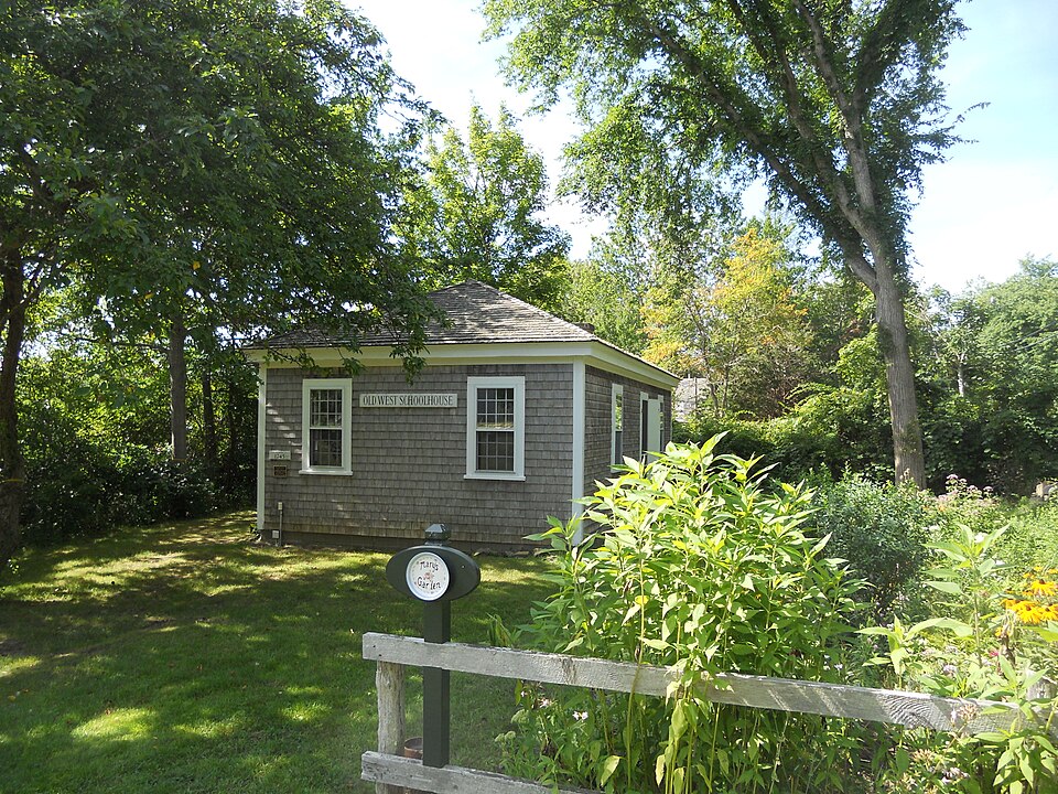






_002.jpeg)