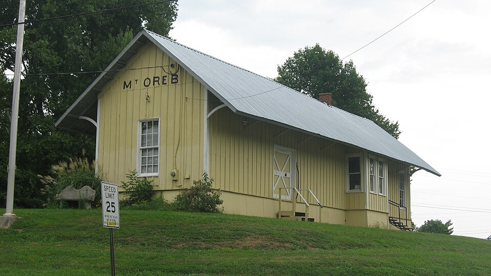
Listed on the National Register of Historic Places in
1975. A historic map-sheet match is not published yet. The record needs a coordinate-quality review before it can be joined to a sheet boundary.
From the record
one of 21 National Register listings in Brown County · listed in 1975 · category: Building · one of 3 National Historic Landmarks in Brown County.
National Register reference number.75001325- the number the National Park Service assigned this property when it was listed, and the key its nomination file is catalogued under at the National Archives.
Fires near this property
1 since 2012
Regional context, not property-specific
evidence. The
federal wildfire occurrence database
lists 1 fire within 5 miles of Mount Orab Station between
2012 and 2012, burning about 0 acres in total. None started naturally. None was recorded as arson.
Distance is straight-line from the map coordinates, so a fire counted
here may appear on a neighbouring settlement's page as well.
Reported cause
Fires
Debris and open burning
1
The most recent of
them, most recent first, with the day each was reported and the service
that recorded it.
Regional context, not property-specific
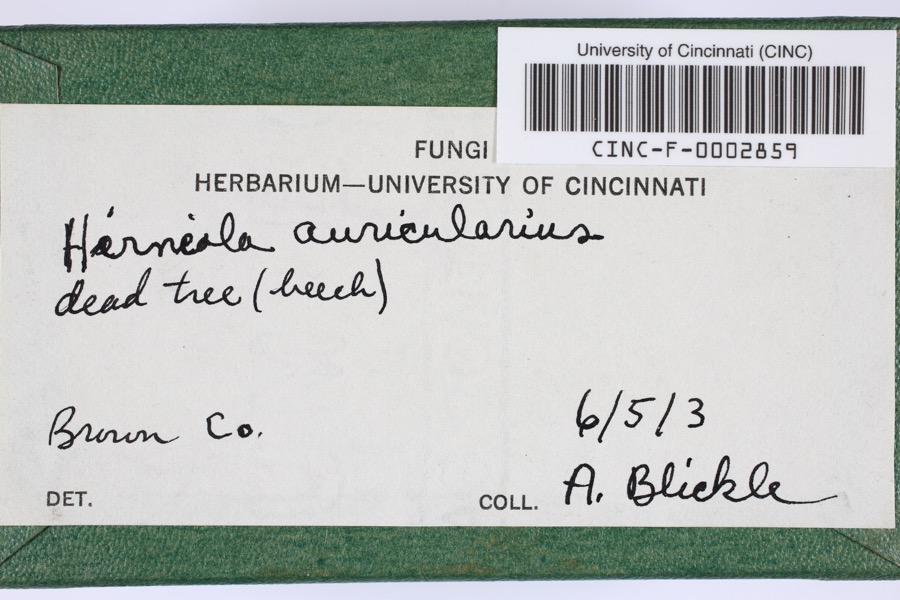
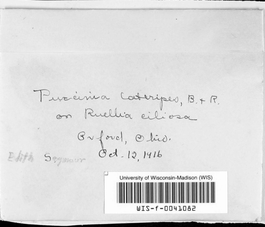
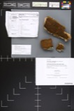
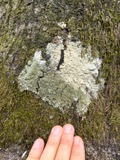
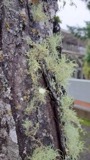
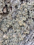
evidence. Museums hold 297 specimens
collected within 10 miles of Mount Orab Station between 1886 and
1974: 165 Animalia, 106 Fungi, 24 Plantae, 2 Protozoa. 12 distinct Species records are shown.
Collected by A JOHN, A. B. Seymour, A. Braun and others. Each is a
physical object with a catalogue
number, and each entry opens the museum's record. This is what was
collected and kept, not a survey of what lives here - nothing can be
concluded from a species being absent.
Regional context, not property-specific
evidence. The National Weather Service names
Mount Orab, the town this property stands in, in 1 storm report between 1995 and 1995: 1 thunderstorm wind.
No death or injury is recorded in these reports. Each account below is quoted exactly as the forecast office
filed it, from the NOAA Storm Events Database, and each date
opens the federal record of that event.
Large trees reported downed. Preble County 3 SW Eaton ,14,0245EST,,,0,0,20K,0,Thunderstorm Winds Several large trees were reported downed, one damaged a large barn. Other trees fell across Route 732.
No historic map-sheet match is published
for this property yet. That does not mean no map exists. This record needs
a coordinate-quality review before it can be joined to a sheet boundary.
Browse the county's mapped places while that work is
pending.
From the nomination file
1,728 words on record
When this property was proposed for the
National Register, someone wrote the case for it: what the building is,
and why it matters. That document is a federal record in the public domain.
It is quoted below word for word, never summarised. The text was read off the scanned case file by machine, so the
occasional stray character is the recogniser's and the 1970s
typewriter's.
Description of the property
station, handling passenger, freight, mail, baggage and express south side of the track, with the main facade facing north. railroad depots. At the west end, occupying about a quarter of the floor. 12"x12" wooden columns support the building, and wooden to the main door, which is placed above the water table. A single 6/6 double hung sash window is to the west of the door. to facilitate loading and unloading of consignments. spelling, in black paint. The rest of the building is a faded and the waiting room and agent's office, and a sliding door opposite the The gable roof is steeply pitched and covered with metal, probably mast of the train order signal, long since removed. door. CONDITION walls.
Excellent Ruins The exterior of the one-story structure has vertical board-and-batten This building once served as a classic combination railroad double-hung sash windows are in the bay. peeling white. The depot is of frame construction and it rests on an unusual not original.The broad eaves are supported by curved brackets at half is taken up by the baggage/mail/express room. A rectangular bay window serving the agent's office extends about one at the front.A wooden platform is still in place at the freight At the bay window is a notch in the roof which once accommodated the The east and west ends have single 6/6 double-hung sash windows.
The rear has three openings:single 6/6 double-hung sash windows in there probably was a wooden platform along this part of the station The floor plan is of the three-part type so common to small-town planks nailed to the columns around the perimeter form the basement (Check One) Centered in the gables at each end is the name Mt.Oreb, an old Good siding.
Register will result in increased local awareness of its value The Mount Orab depot is along the main line of the Norfolk stations as part of the historic fabric of the greatest American Industry AREAS OF SIGNIFICANCE (Check One or More as Appropriate) This route began as the Cincinnati and Eastern Railroad and American industrial history has caused a re-evaluation of Art as a special type of building worthy of preservation.Their on September 12,1884,from F.W.and Mary E. Smith.Assuming
Quoted from the National Register nomination
for reference 75001325, 16 pages, held by the National Archives in Record
Group 79. See the
catalogue record.
Listing record. National Park Service National Register of Historic Places, listed-properties dataset, current to 2026-05-22.
Map join. Address geocoded through the United States Census geocoder, then tested against the published boundary of every sheet in the USGS Historical Topographic Map Collection.
How this page is made. Listing fields come from federal records; map-sheet coverage is a labelled coordinate-to-boundary calculation, not a source-field claim.
Wildfire. Short, Karen C. 2022. Spatial wildfire occurrence data for the United States, 1992-2020 [FPA_FOD_20221014]. 6th Edition. Fort Collins, CO: Forest Service Research Data Archive. https://doi.org/10.2737/RDS-2013-0009.6 Collected with United States Government funding and usable without additional permissions or fees.
Specimens. Global Biodiversity Information Facility (GBIF), https://www.gbif.org/. Only records licensed CC0 or CC BY are used. Records licensed CC BY-NC are excluded because this site carries advertising. Images are checked individually and any whose licence is non-commercial, no-derivatives or unreadable is refused.
Storms. NOAA National Centers for Environmental Information, Storm Events Database https://www.ncei.noaa.gov/stormevents/ A work of the United States government, no copyright under 17 U.S.C. 105. Narratives are quoted verbatim from the National Weather Service report and are not edited or summarised.
 Block
Block