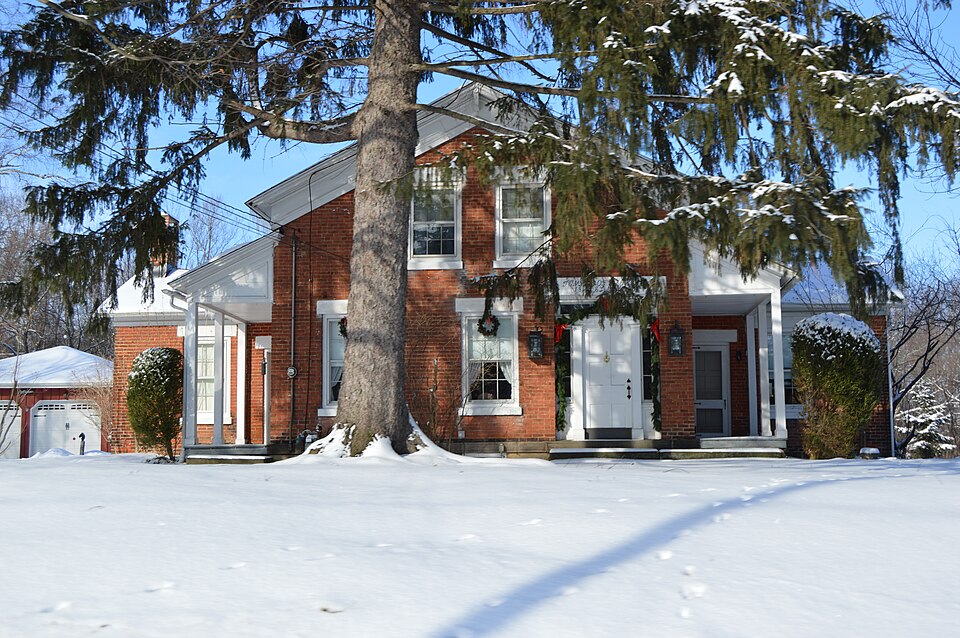
National Register reference number.75001357- the number the National Park Service assigned this property when it was listed, and the key its nomination file is catalogued under at the National Archives.
Then and now
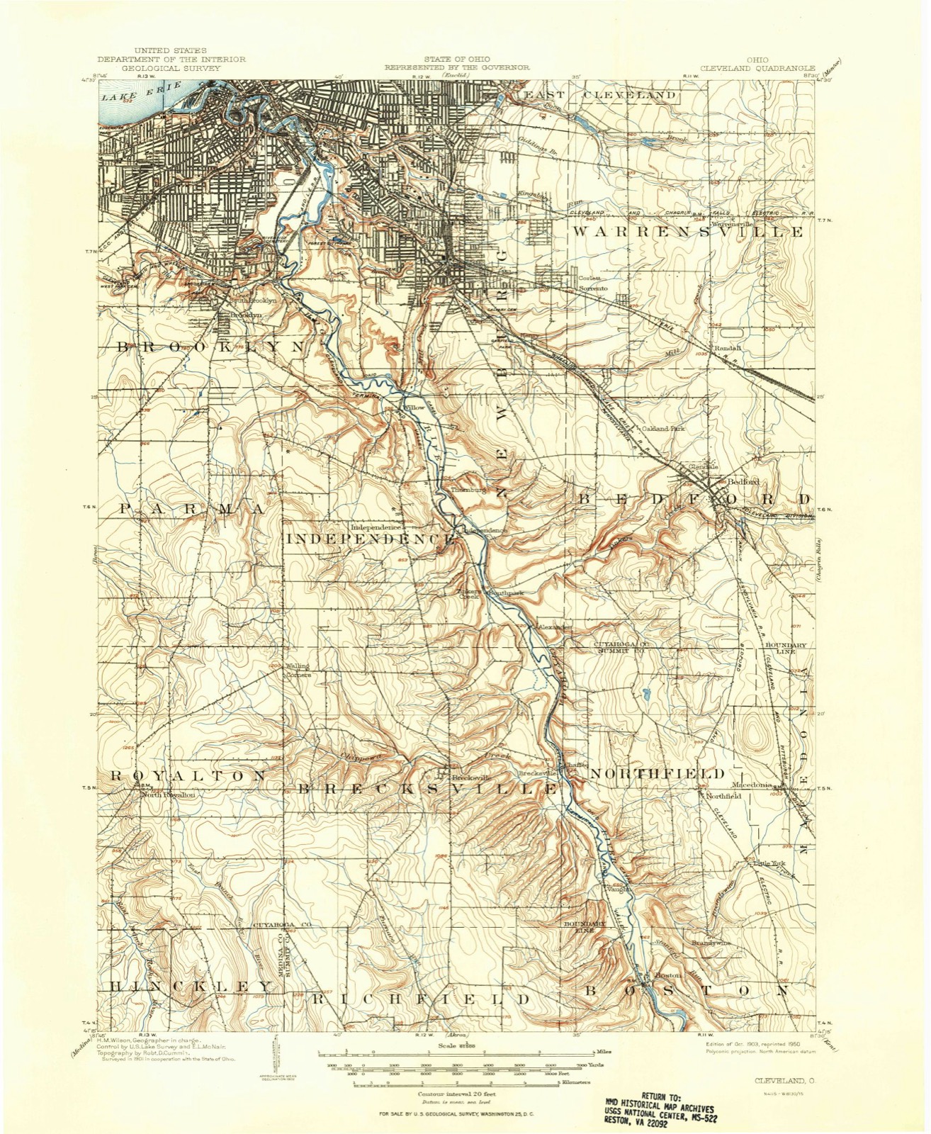
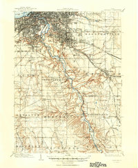
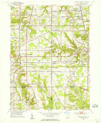
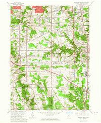
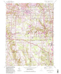
1903 to 1994
The ground this property stands on, surveyed
91 years apart. Drag the handle to wipe between them. Both sheets are
United States Geological Survey originals; neither has been altered.
19031994
Fires near this property
2 since 1993
Regional context, not property-specific
evidence. The
federal wildfire occurrence database
lists 2 fires within 5 miles of Jared Clark House
between 1993 and 2000, burning about 7 acres in total. None started naturally. 1 was recorded as arson.
Distance is straight-line from the map coordinates, so a fire counted
here may appear on a neighbouring settlement's page as well.
Reported cause
Fires
Arson/incendiarism
1
Missing data/not specified/undetermined
1
The most recent of
them, most recent first, with the day each was reported and the service
that recorded it.
Regional context, not property-specific
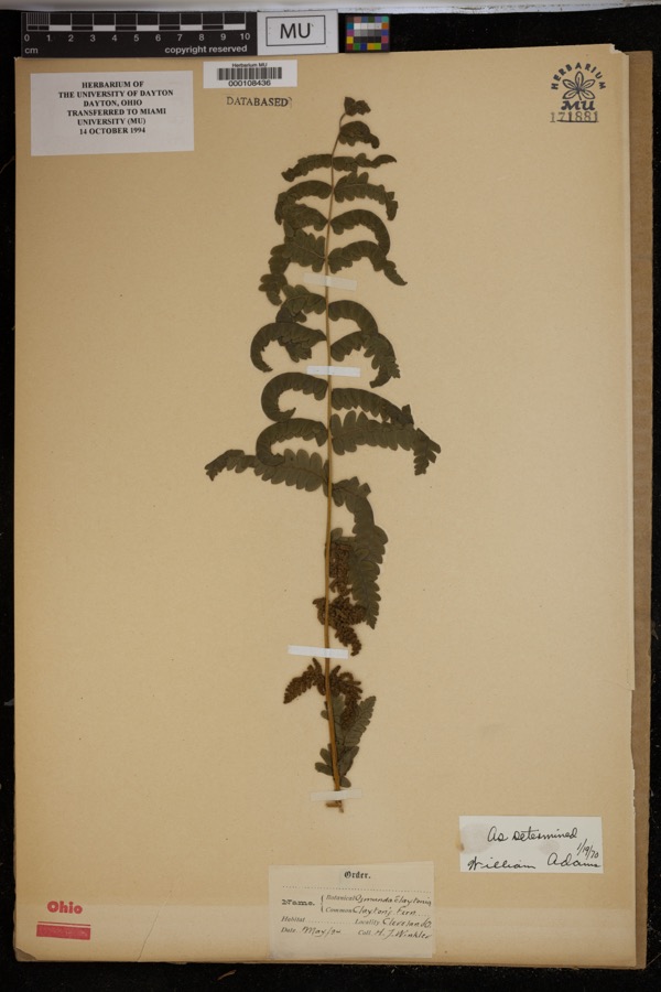
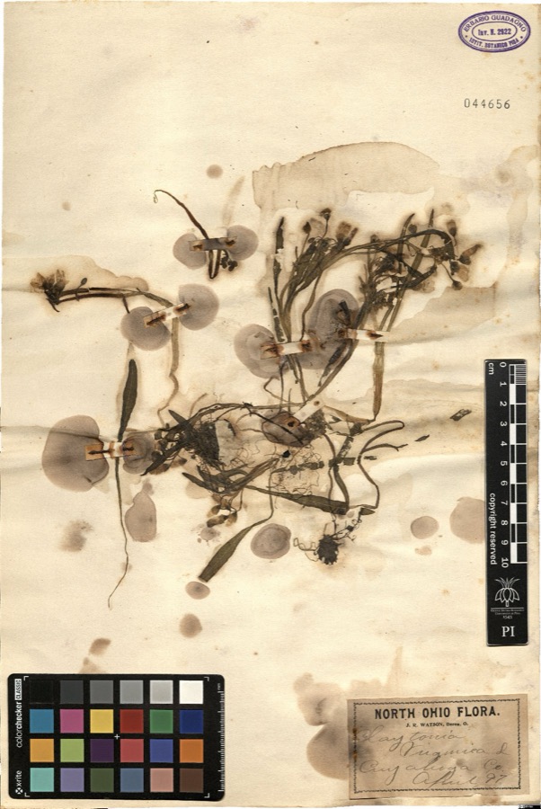
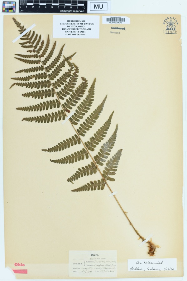
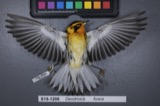
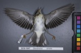
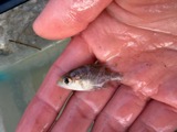
evidence. Museums hold 1,200 specimens
collected within 10 miles of Jared Clark House between 1876 and 1975: 1,148 Animalia, 38 Plantae, 9 Fungi, 4 Protozoa, 1 incertae sedis.
12 distinct Species records are shown.
Collected by A. D. Huryn, A. D. Selby, A. Hall and others. Each is a
physical object with a catalogue
number, and each entry opens the museum's record. This is what was
collected and kept, not a survey of what lives here - nothing can be
concluded from a species being absent.
Regional context, not property-specific
evidence. The federal mineral resources record lists
8 workings within 5 miles of Jared Clark House: 4 producers, 4 past producers.
4 still produce. What was taken out: Clay, Sand and Gravel, Construction, Bloating Material, Stone, Crushed/Broken. Distance is straight-line from the
map coordinates, so a quarry counted here may appear on a neighbouring
settlement's page as well.
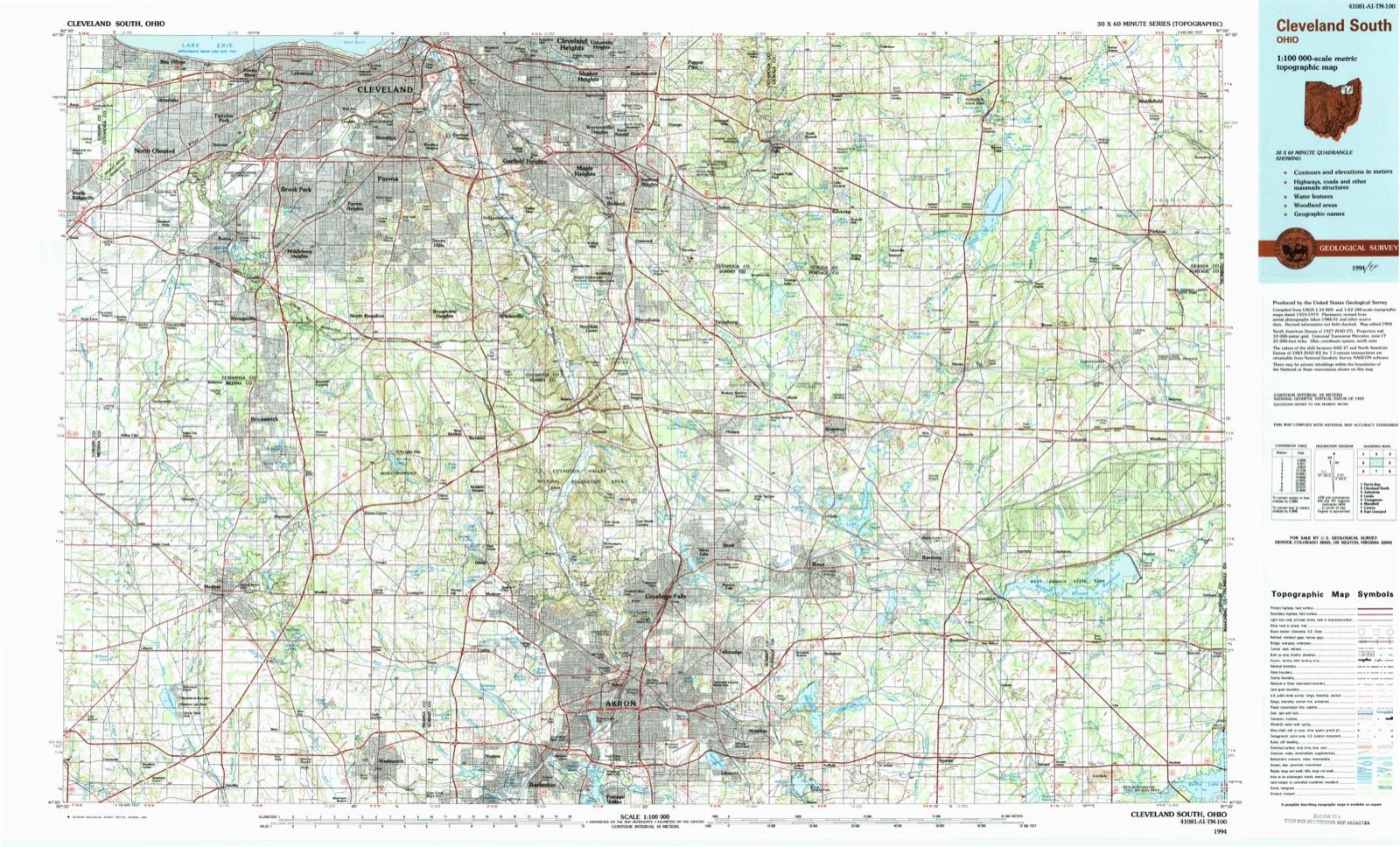
United States Geological Survey topographic
sheets whose coverage includes this point. Matched by taking the coordinate the National Park Service records for this property, then
testing that coordinate against the published boundary of every sheet.
When this property was proposed for the
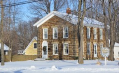
National Register, someone wrote the case for it: what the building is,
and why it matters. That document is a federal record in the public domain.
It is quoted below word for word, never summarised. The text was read off the scanned case file by machine, so the
occasional stray character is the recogniser's and the 1970s
typewriter's.
Description of the property
Excellent front and rear main floor rooms were connected by a large opening walnut balustrade with a simple baluster type of newel post.The partition has been removed to make two smaller rooms into one. Fair in front of the lateral wings.The square posts have been restored The stairhall on the east side of the main wing has an original Good PERIOD (Check One or More as Appropriate) - Pre-Columbian! - 16th Century SPECIFIC DATE(S) (If Applicable and Known) - Urban Planning - Prehistoric Other (Specify) STATEMENT OF
Statement of significance
1853 Communications Conservation SIGNIFICANCE Commerce Architecture Engineering Aboriginal losophy Transportation Science Theater Education Literature Agriculture Landscape itarian Music Greek Revival period. that seems unlikely. Political neighbors before building their own cabin. It is not known why ity and a very rare inscribed lintel.
possibility that the inscription was added later, but since it is Invention brick dwelling, with a fairly unusual cruciform plan for its local- carved in a flat panel recessed in the rough-dressed stone, the underground railroad are undocumented.There is a remote Social/Human- blind-end wings and the good state of preservation give the house date of construction, and it is consistent with the style and Sculpture a distinction of its own among the characteristic examples of the The primary significance of the Jared Clark house is arch- construction of the house.
This assumes that the inscribed date of 1853 in fact indicates the Industry There seems to be no evidence as to the meaning of the In any case, the simple Greek Revival detail, the unusual inscription "Temple of Freedom." Stories of associations with Military their five surviving children and settled on the farm in the northern Religion/Phi- part of Brecksville Township.They lived in a shanty provided by itectural.It is a well preserved example ofa small Greek Revival Jared Clark was born in 1784.He married Fanny Clapp in 1809,and in 1830 they emigrated to Ohio from Massachusetts with Art AREAs OF SIGNIFICANCE (Check One or More as Appropriate)
Quoted from the National Register nomination
for reference 75001357, 12 pages, held by the National Archives in Record
Group 79. See the
catalogue record.
Listed places nearby
6 within 8 miles
Other National Register properties close
enough to walk or drive between, ordered by distance from this one. Both
positions come from the same geocoding pass that matched these properties
to their map sheets.
Listing record. National Park Service National Register of Historic Places, listed-properties dataset, current to 2026-05-22.
Map join. Address geocoded through the United States Census geocoder, then tested against the published boundary of every sheet in the USGS Historical Topographic Map Collection.
How this page is made. Listing fields come from federal records; map-sheet coverage is a labelled coordinate-to-boundary calculation, not a source-field claim.
Wildfire. Short, Karen C. 2022. Spatial wildfire occurrence data for the United States, 1992-2020 [FPA_FOD_20221014]. 6th Edition. Fort Collins, CO: Forest Service Research Data Archive. https://doi.org/10.2737/RDS-2013-0009.6 Collected with United States Government funding and usable without additional permissions or fees.
Specimens. Global Biodiversity Information Facility (GBIF), https://www.gbif.org/. Only records licensed CC0 or CC BY are used. Records licensed CC BY-NC are excluded because this site carries advertising. Images are checked individually and any whose licence is non-commercial, no-derivatives or unreadable is refused.
Mines and quarries. USGS Mineral Resources Data System (MRDS) https://mrdata.usgs.gov/mrds/ A work of the United States government, no copyright under 17 U.S.C. 105.
 Block