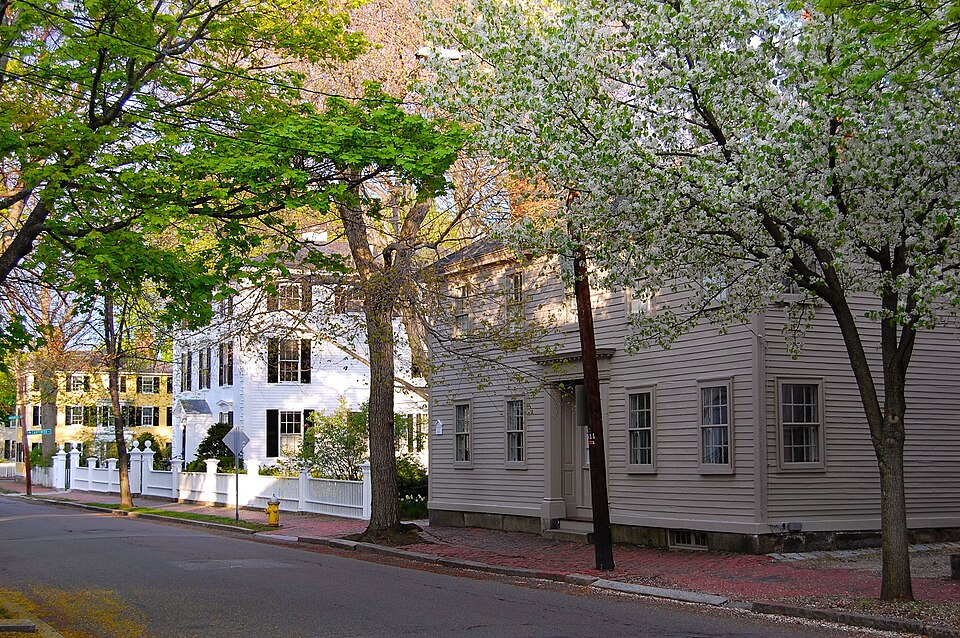
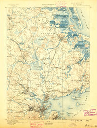
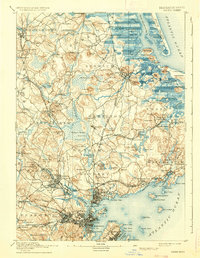
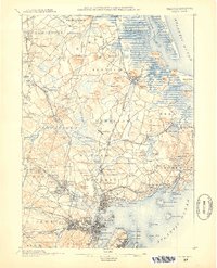
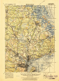
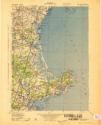
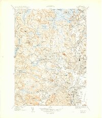
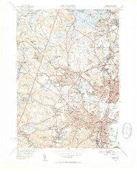
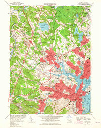
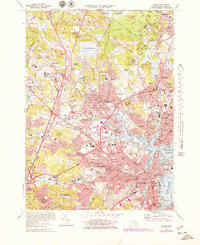
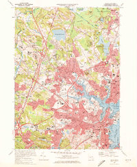
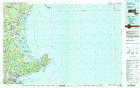
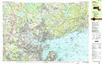
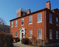
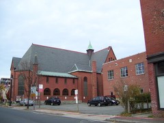
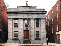
Listed on the National Register of Historic Places in 1976. 17 historic topographic surveys show this location, the earliest from 1888.
From the record
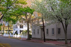
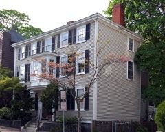
“The Federal Street District is a residential and civic historic district in Salem, Massachusetts, United States. It is an expansion of an earlier listing of the Essex County Court Buildings on the National Register of Historic Places in 1976.”
Wikipedia article Federal Street District, CC BY-SA 4.0.
One of 480 National Register listings published here for Essex County · listed in 1976 · category: Building.
National Register reference number.76000299- the number the National Park Service assigned this property when it was listed, and the key its nomination file is catalogued under at the National Archives.
Captain Endicott was ashore at the time, receiving pepper to be sent on board. Observing something unusual in the conduct of those aboard the ship, Captain Endicott determined to return to her at once, but hardly had he started with his men when crowds of Malays began to assemble on the banks of the river, brandishing their weapons and otherwise menacing him. At the same time three Malav boats, with forty or fifty men each, came out of the river and pulled toward the ship. Convinced that the only way to recover the ship was by obtaining assistance from some other vessel, Captain Endicott directed his boat's course to Muckie, a port about twenty-five miles distant, where he knew two or three American vessels were lying. Arriving there, he found three vessels, among them the brig " Governor Endicott," of Salem, H. H. Jenks, master, and the ship " James Monroe," J. Porter, master, of New York. These vessels proceeded at once to Quallah-Battoo. The " Friendship " was meanwhile in the possession of the Malays, who plundered her of the specie and every other movable article. Four of her crew jumped overboard at the time of the attack, and swam a distance of two miles before they could find a safe place to land. After wandering about in the bushes, almost without food, for three days, they found a canoe, and made their way to the residence of a friendly native, named Po Adam, who furnished them with clothing and carried them aboard one of the American vessels. Upon the arrival at Quallah-Battoo of the three vessels, before mentioned, an attack was made upon the town, and the " Friendship " was boarded and recaptured. Her voyage having been broken up, the "Friendship" returned to Salem, where she arrived July 16, 1831. About a year thereafter the United States frigate " Potomac," before referred to, bombarded Quallah-Battoo as a punishment for the conduct of the natives towards an American vessel.
Another Salem vessel, the " Eclipse," had a somewhat similar experience on the coast of Sumatra in 1838. While the mate and four hands were ashore, a party of Malays boarded the vessel and killed the captain, Charles P. Wilkins. The crew, finding themselves overpowered, escaped, some by ascending the shrouds, and some by jumping overboard and swimming ashore. The Malays then plundered the ship of specie, opium and everything else of value, and departed with their ill-gotten gains. The men aloft descended, lowered their boat, and rowed to a French bark lying at an adjoining port. The next morning the crew returned to the vessel, and during the night they set sail and left the island. The "Eclipse" had a sad ending. She sailed from Sumatra July 10, 1849, under command of Captain Daniel Cross, and was never after heard from. She had on board a cargo of pepper, consigned to Tucker Daland and Henry L. Williams.
Regional context, not property-specific
evidence. The
federal wildfire occurrence database
lists 54 fires within 5 miles of Essex County Court Buildings
between 2006 and 2020, burning about 174 acres in total. 1 started naturally. 3 were recorded as arson.
Distance is straight-line from the map coordinates, so a fire counted
here may appear on a neighbouring settlement's page as well.
Reported cause
Fires
Recreation and ceremony
18
Smoking
9
Equipment and vehicle use
7
Debris and open burning
5
Missing data/not specified/undetermined
4
Arson/incendiarism
3
Misuse of fire by a minor
3
Power generation/transmission/distribution
2
Fireworks
1
Natural
1
Railroad operations and maintenance
1
The most recent of
them, most recent first, with the day each was reported and the service
that recorded it.
Regional context, not property-specific
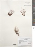
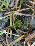
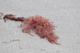
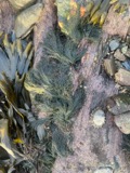
evidence. Museums hold 9,132 specimens
collected within 10 miles of Essex County Court Buildings between 1800 and 1975: 3,671 Plantae, 2,870 Animalia, 1,044 Fungi, 900 Chromista, 458 Unrecorded, 146 Bacteria, 43 Protozoa.
12 distinct Species records are shown.
Collected by A B. Proper, A H HIGGINSON, A. A. Eaton and others. Each is a
physical object with a catalogue
number, and each entry opens the museum's record. This is what was
collected and kept, not a survey of what lives here - nothing can be
concluded from a species being absent.
Regional context, not property-specific
evidence. The federal mineral resources record lists
9 workings within 5 miles of Essex County Court Buildings: 5 plants, 1 unknown, 1 producer, 1 occurrence.
6 still produce. What was taken out: Stone, Crushed/Broken, Zirconium, Iron, Thorium. Distance is straight-line from the
map coordinates, so a quarry counted here may appear on a neighbouring
settlement's page as well.
Regional context, not property-specific
evidence. The National Weather Service names
Salem, the town this property stands in, in 10 storm reports between 1993 and 2023: 4 thunderstorm wind, 3 hail, 2 flood, 1 flash flood.
No death or injury is recorded in these reports. Each account below is quoted exactly as the forecast office
filed it, from the NOAA Storm Events Database, and each date
opens the federal record of that event.
Numerous streets were closed due to flooding. In addition, numerous vehicles were reported stuck in water on roads throughout Peabody; occupants had to be rescued and vehicles towed. Parts of Route 128 were impassable due to flooding. The Peabody police station was flooded, damaging training rooms, telephones, three police cruisers, and two motorcycles. Several houses were flooded near the intersection of Washington and Granite Streets. The Lahey Clinic was flooded with 4 to 6 feet of water in the basement and several inches of water in the 1st floor hallways. The fire chief estimated that at least 100 houses and 40 businesses were damaged. In addition, at least 100 basements throughout town were flooded. Flooding was extensive enough that schools were closed.
In Salem, Swampscott Road was closed due to flooding and three cars were stuck in floodwaters on Highland Avenue. Cars were stuck in floodwaters on Stettson Road in Swampscott. In Marblehead, West Shore Drive was impassable and closed from Cornell Road to Lafayette Street. In addition, a building was flooded on Salem Street and a house was flooded on Smith Street.
Two trees down in Salem Willows Park. Numerous dime-size hail stones fell at approximately 1845 EST in West Peabody with one or two stones just under the size of a quarter as measured by the son of a NWS meteorologist. Rainfall in Peabody was 1.68 inches.
1 paper published in this town,
digitised by the Library of Congress and free to read. Every page is searchable, so a name or a street can be
looked for directly in what the town printed about itself at the time.
United States Geological Survey topographic
sheets whose coverage includes this point. Matched by taking the coordinate the National Park Service records for this property, then
testing that coordinate against the published boundary of every sheet.
When this property was proposed for the
National Register, someone wrote the case for it: what the building is,
and why it matters. That document is a federal record in the public domain.
It is quoted below word for word, never summarised. The text was read off the scanned case file by machine, so the
occasional stray character is the recogniser's and the 1970s
typewriter's.
Description of the property
The Essex County Court buildings are three county government buildings located on Federal Street in Salem. Built to meet the expanding needs of Essex County, the buildings illustrate changes in architecture over a period of 68 years. The Old Granite Courthouse (Engineers Office) was designed in 1839 by Boston architect Richard Bond and built in 1841 by contractors Samuel S. Standley and Henry Russell, Jr. of Salem. The cost of the building was about eighty thousand dollars and its work- manship throughout is excellent. The smooth-faced Rockport granite building was designed in the Greek Revival style with temple-fronted north and south elevations and a massiveness that belies its relatively small size. The classical fronts have - two fluted granite columns in antis. Each column.
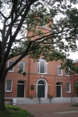
is composed of a single shaft of granite 3 feet 10 inches in diameter and 32 feet high, including base and capital. Finely sculpted and proportioned Egyptian lotus capitals provide the main decorative element of this otherwise austere classical composition. Inside the building brick arches provide support for the floors, and granite steps cantilevered into the massive walls furnish access from the first to the second story. The Superior Courthouse (Clerk of Courts Building) adjoins the Old Granite Courthouse but provides a distinct contrast to it in style and material. The Superior Courthouse was designed by Enoch Fuller and dedicated on October 3, 1862. In 1889 the building was enlarged and altered to its present Romanesque Revival appearance.
The architects of this metamorphosis were Wheelwright and Northend. The Superior Courthouse is brick with brownstone trim. A three-story central pavilion projects from the Federal Street facade with its primary feature being a Richardsonian arched entranceway. Brownstone banding connects the tops of the first-floor windows and the bottoms of the second-story windows.
/ARCHITECT The Essex County Court buildings illustrate the growth and the changing needs of the Salem and Essex County courts and represent impressive examples of three architectural styles. The Old Granite Courthouse replaced a 1785 courthouse and townhouse on a nearby site on Washington Street. The earlier courthouse was the work of noted architect Samuel McIntire and was the scene of a ceremonial visit by George Washington. Its demolition was necessitated by the construction of a railroad tunnel under Washington Street in The present Granite Courthouse housed all of Salem's courts as well as the county offices from the time of its opening in 1842 to 1862 when the Superior Courthouse was constructed next door.
In 1889 the lower floor was remodelled to accomodate the Registry of Deeds and in 1910 it was again adapted for use as county offices. Today the building is used by the County Engineers and County Commissioners.The architect, chard Bond, was one of the most progressive young architects in the area, and, with men like Solomon Willard and Alexander Parris, popularized granite as a building stone of great durability and impressive appearance. The Superior Courthouse (Clerk of Courts Building) also serves as a reminder of Salem's judicial past. The interior is embellished with a number of oil portraits of dis- tinguished members of the bar. Over the bench in the front courtroom hangs a fine full-length portrait of Chief Justice Iemuel Shaw painted by William M.
Hunt and con- sidered a masterpiece of that distinguished artist. Among the other things preserved in the building are the manuscripts of testimony from the famous witch trials. The Registry of Deeds and Probate Court Building contains records of wills and deeds dating from 1640, and - is a fitting complement to the other two county buildings.
Quoted from the National Register nomination
for reference 76000299, 21 pages, held by the National Archives in Record
Group 79. See the
catalogue record.
Listed places nearby
6 within 8 miles
Other National Register properties close
enough to walk or drive between, ordered by distance from this one. Both
positions come from the same geocoding pass that matched these properties
to their map sheets.
Listing record. National Park Service National Register of Historic Places, listed-properties dataset, current to 2026-05-22.
Map join. Address geocoded through the United States Census geocoder, then tested against the published boundary of every sheet in the USGS Historical Topographic Map Collection.
How this page is made. Listing fields come from federal records; map-sheet coverage is a labelled coordinate-to-boundary calculation, not a source-field claim.
Wildfire. Short, Karen C. 2022. Spatial wildfire occurrence data for the United States, 1992-2020 [FPA_FOD_20221014]. 6th Edition. Fort Collins, CO: Forest Service Research Data Archive. https://doi.org/10.2737/RDS-2013-0009.6 Collected with United States Government funding and usable without additional permissions or fees.
Specimens. Global Biodiversity Information Facility (GBIF), https://www.gbif.org/. Only records licensed CC0 or CC BY are used. Records licensed CC BY-NC are excluded because this site carries advertising. Images are checked individually and any whose licence is non-commercial, no-derivatives or unreadable is refused.
Mines and quarries. USGS Mineral Resources Data System (MRDS) https://mrdata.usgs.gov/mrds/ A work of the United States government, no copyright under 17 U.S.C. 105.
Storms. NOAA National Centers for Environmental Information, Storm Events Database https://www.ncei.noaa.gov/stormevents/ A work of the United States government, no copyright under 17 U.S.C. 105. Narratives are quoted verbatim from the National Weather Service report and are not edited or summarised.
 Block