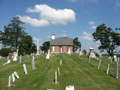
Listed on the National Register of Historic Places in
1976. A historic map-sheet match is not published yet. The record needs a coordinate-quality review before it can be joined to a sheet boundary.
From the record
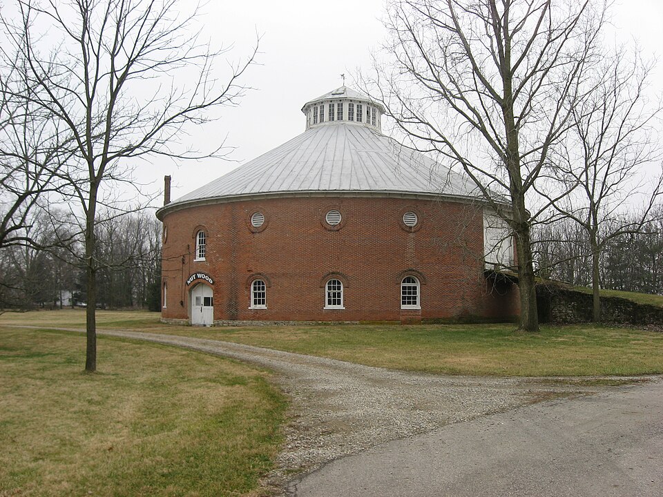
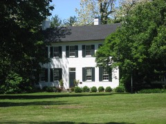
“Nutwood Place is a historic farm complex on the northern edge of Urbana, Ohio, United States. Today composed of the farmhouse, a round barn, and a small amount of former fields, the farm has been owned by some of Urbana's leading families.”
Wikipedia article Nutwood Place, CC BY-SA 4.0.
one of 27 National Register listings in Champaign County · listed in 1976 · category: Building.
National Register reference number.76002265- the number the National Park Service assigned this property when it was listed, and the key its nomination file is catalogued under at the National Archives.
Fires near this property
2 since 2002
Regional context, not property-specific
evidence. The
federal wildfire occurrence database
lists 2 fires within 5 miles of Nutwood Place between
2002 and 2002, burning about 1 acres in total. 1 started naturally. None was recorded as arson.
Distance is straight-line from the map coordinates, so a fire counted
here may appear on a neighbouring settlement's page as well.
Reported cause
Fires
Recreation and ceremony
1
Natural
1
The most recent of
them, most recent first, with the day each was reported and the service
that recorded it.
Regional context, not property-specific
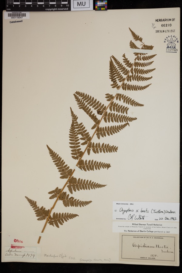
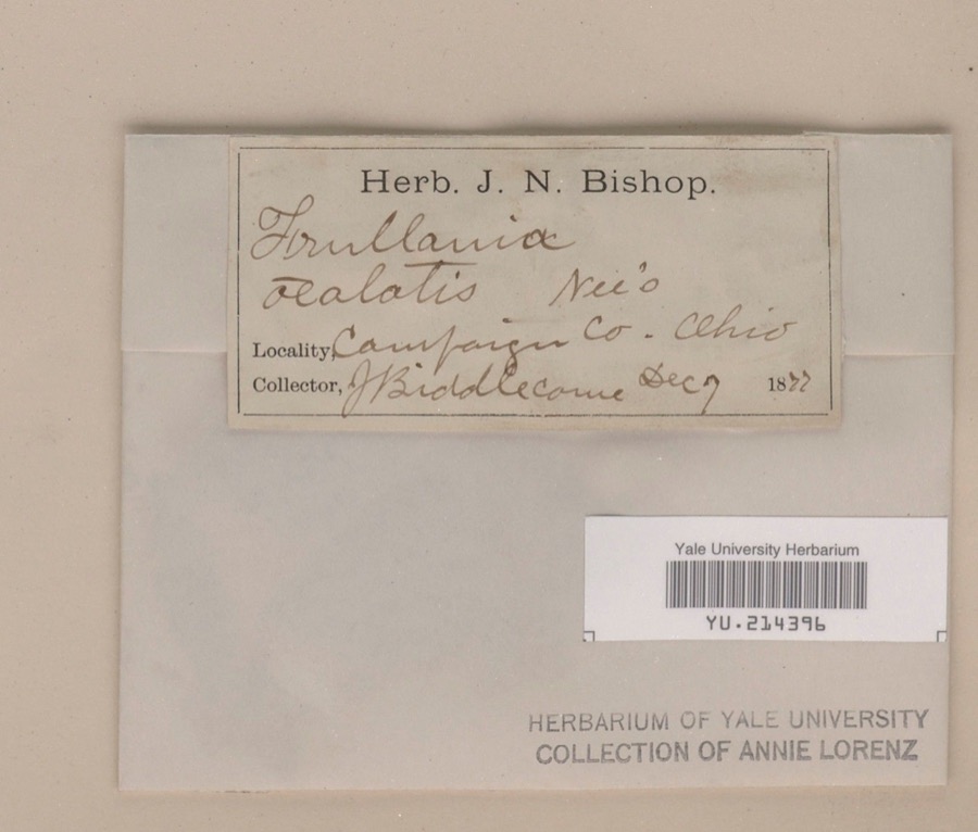
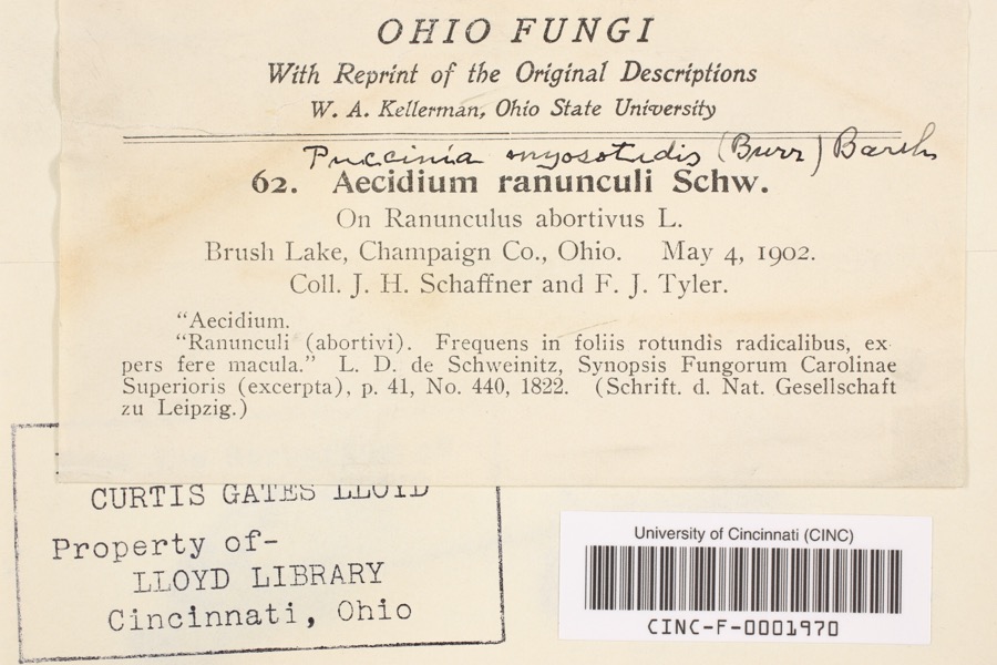
evidence. Museums hold 1,712 specimens
collected within 10 miles of Nutwood Place between 1838 and
1975: 1,349 Animalia, 269 Plantae, 77 Fungi, 11 Unrecorded, 5 Protozoa, 1 Chromista. 12 distinct Species records are shown.
Collected by A. Gray; W. S. Sullivant, A. R. Gaufin, A. R. Gaufin, H. H. Ross and others. Each is a
physical object with a catalogue
number, and each entry opens the museum's record. This is what was
collected and kept, not a survey of what lives here - nothing can be
concluded from a species being absent.
Regional context, not property-specific
evidence. The federal mineral resources record lists
9 workings within 5 miles of Nutwood Place: 5 producers, 2 past producers, 1 plant, 1 unknown.
6 still produce. What was taken out: Sand and Gravel, Construction, Tungsten. Distance is straight-line from the
map coordinates, so a quarry counted here may appear on a neighbouring
settlement's page as well.
Regional context, not property-specific
evidence. The National Weather Service names
Urbana, the town this property stands in, in 72 storm reports between 1994 and 2026: 49 thunderstorm wind, 14 hail, 6 flood, 1 lightning.
The reports record 3 injuries. Each account below is quoted exactly as the forecast office
filed it, from the NOAA Storm Events Database, and each date
opens the federal record of that event.
A 12-year old boy was seriously injured by a lightning strike. Two other boys with him, ages 8 and 11, also complained of minor muscle spasms in their legs.
Trees and powerlines were downed from Upper Valley Pike east to Kennard-Kingscreek Road. A garage sustained major damage beyond repair along Upper Valley Pike.
1 paper published in this town,
digitised by the Library of Congress and free to read: 0 issues,
0 pages. Every page is searchable, so a name or a street can be
looked for directly in what the town printed about itself at the time.
No historic map-sheet match is published
for this property yet. That does not mean no map exists. This record needs
a coordinate-quality review before it can be joined to a sheet boundary.
Browse the county's mapped places while that work is
pending.
From the nomination file
1,791 words on record
When this property was proposed for the
National Register, someone wrote the case for it: what the building is,
and why it matters. That document is a federal record in the public domain.
It is quoted below word for word, never summarised. The text was read off the scanned case file by machine, so the
occasional stray character is the recogniser's and the 1970s
typewriter's.
Description of the property
and has a variety of trees located around the house. chimneys, two small 4/4 windows high in the gable, and two 9/9 windows below. The The front entrance leads into a large hallway with a winding The remainder of the windows on the second floor are louvered bullet windows which provide is 75 feet above the ground. The third building which is slightly south west of the circular barn is a frame barn of CONDITION UNEXPOSED XEXCELLENT UNALTERED DETERIORATED XALTERED FAIR exterior has been painted white.A large brick patio with entrances from the summer kitchen is the summer kitchen with an open fireplace. Halfway up the stairway isa CHECK ONE small dimensions. It is in poor condition.
the hall is the living room with a wood burning fireplace and an ash floor.The round arched windows with brick hoodmolds on the first floor and part of the second floor. doors, consists of a large open area that radiates from the center. Ail supports are made spacious dining room has a fireplace with an Adam mantel.All these roons have a of of hand cut timbers that are held together by pegs and the supports are of single room with a lovely view of the grounds.On each side of the upper hall are bedrooms There is also a sitting room and a separate stairway for the maid. open stairway.Off to the left is the music room with a fireplace graced with a Sheraton are several rooms, one of which contains an old dutch oven.
Born in 1752 in Virginia, Ward was a land speculator and came to Ohio in 1802. In 1805 They accepted his offer, and in the same year, William Ward platted Urbana. Ward moved to a farm north of the city which he called "Nutwood Place". He lived there until of George and Jane Jennings who came to Clark County, Ohio from Virginia in 1811. A.C. Read & Company, a wholesale hat, cap and straw goods company located in New York City. saddle horses and pioneering in the breeding of Jersey cattle. Nutwood farm, consisting of 450 acres, became one of the most noted stock farms in Ohio. A.C. Jennings died in 1600-1699 1400-1499 1895.
LAW CONSERVATION INVENTION ART BUILDER/ARCHITECT PERIOD ARCHEOLOGY-HISTORIC EDUCATION AGRICULTURE SIGNIFICANCE ENGINEERING ARCHEOLOGY-PREHISTORIC THEATER INDUSTRY SCIENCE MILITARY EXPLORATION/SETTLEMENT LITERATURE _POLITICS/GOVERNMENT _COMMUNICATIONS and are important for their architecture and for their association with two very Champaign County learning the saddle and harness trade.In 1844 he formed Jennings, SOCIAL/HUMANITARIAN _ECONOMICS _PHILOSOPHY Champaign County was formed and Ward owned 160 acres in the heart of the county.Part -1700-1799 Nutwood Farm was purchased in 1856 by Absalom C.Jennings.A.C.Jennings was the son William J. Ward was the first owner of Nutwood Place and probably built the house. house William J. Ward prominent Urbana families, William J. Ward and A.C.
Jennings. _SCULPTURE _RELIGION _COMMERCE in 186l at a cost of $23,000.The rest of his 1ife was spent breeding fine race and -1900- -MUSIC 1861 barn The house of this land he offered to commissioners if they would locate the county seat there. and circular barn are exceptionally fine examples of an early Ohio farm complex The round barn was built by Jennings In 1859 he returned to his farm north of Urbana.
Quoted from the National Register nomination
for reference 76002265, 15 pages, held by the National Archives in Record
Group 79. See the
catalogue record.
Listed places nearby
4 within 8 miles
Other National Register properties close
enough to walk or drive between, ordered by distance from this one. Both
positions come from the same geocoding pass that matched these properties
to their map sheets.
Listing record. National Park Service National Register of Historic Places, listed-properties dataset, current to 2026-05-22.
Map join. Address geocoded through the United States Census geocoder, then tested against the published boundary of every sheet in the USGS Historical Topographic Map Collection.
How this page is made. Listing fields come from federal records; map-sheet coverage is a labelled coordinate-to-boundary calculation, not a source-field claim.
Wildfire. Short, Karen C. 2022. Spatial wildfire occurrence data for the United States, 1992-2020 [FPA_FOD_20221014]. 6th Edition. Fort Collins, CO: Forest Service Research Data Archive. https://doi.org/10.2737/RDS-2013-0009.6 Collected with United States Government funding and usable without additional permissions or fees.
Specimens. Global Biodiversity Information Facility (GBIF), https://www.gbif.org/. Only records licensed CC0 or CC BY are used. Records licensed CC BY-NC are excluded because this site carries advertising. Images are checked individually and any whose licence is non-commercial, no-derivatives or unreadable is refused.
Mines and quarries. USGS Mineral Resources Data System (MRDS) https://mrdata.usgs.gov/mrds/ A work of the United States government, no copyright under 17 U.S.C. 105.
Storms. NOAA National Centers for Environmental Information, Storm Events Database https://www.ncei.noaa.gov/stormevents/ A work of the United States government, no copyright under 17 U.S.C. 105. Narratives are quoted verbatim from the National Weather Service report and are not edited or summarised.
 Block
Block