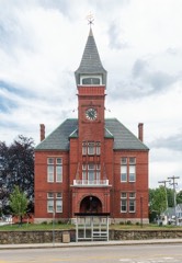
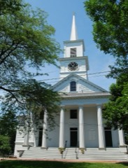
Listed on the National Register of Historic Places in
1979. A historic map-sheet match is not published yet. The record needs a coordinate-quality review before it can be joined to a sheet boundary.
From the record
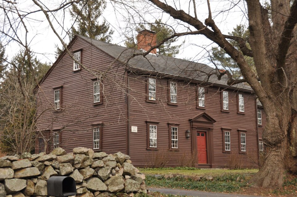
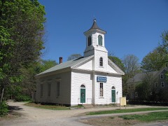
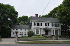
“The Stephen Turner House is a historic house at 187 Seekonk St. in Norfolk, Massachusetts. The house was built sometime after the 1712 purchase of the land by Stephen Turner.”
Wikipedia article Stephen Turner House, CC BY-SA 4.0.
one of 249 National Register listings in Norfolk County · listed in 1979 · category: Building · one of 2 National Historic Landmarks in Norfolk County.
National Register reference number.79002682- the number the National Park Service assigned this property when it was listed, and the key its nomination file is catalogued under at the National Archives.
What happened here
An account from the chapter on Norfolk town, The inset identifies its exact
source book and publication year.
He comes of early Colonial ancestry, being a lineal descendant in the eighth generation of John Coolidge, an early English immigrant, who was made a freeman at VVatertown, Middlesex County, this State, in 1636. Simon Coolidge, son of John, was the father of Obadiah and the grandfather of Joseph Coolidge, who was killed at the battle of Lexington, April 19, 1775.
Settlements were made here at an early day, and among the prominent namés here in 1795 were David Holbrook, Josiah Ware, Moses Mann, Samuel Richardson, James Holbrook, Asa Ware, Elisha of Wrentham, and following in an easterly course the present line of division between Wrentham and Medfield to Stop River; thence running southerly along said river, and separated by the thread of its stream from Walpole, to a point forty rods north of the mouth of the first brook running into said river, below Campbell's Mills, on the easterly side; thence from said point, by a straight line, ranning to the junction of Back and Bird streets, in Walpole; thence to the easterly side of said Bird street to its junction with West street; thence westerly by the northerly side of West street, twenty-five rods; thence southerly, and near to and westerly from the barn belonging to the home estate of Charles Bird, until said line strikes Stop River, one hundred and twenty rods southerly from West street; thence along said river as far as Wrentham and Walpole are separated by the thread of its stream; thence by a straight line, running westerly of the Walpole almshouse and easterly of the farm | buildings of Patrick Reardon, and easterly of the Dupee Blake | place, so called, to a point on the line between Walpole and Fox- | borough, one bundred and twenty-five rods north-easterly from | Dedham Rock; thence from said point, following the present line of division, between Wrentham and Foxborough, to Dedham Rock; thence southerly from said rock along the present | line of Wrentham and Foxborough to a point on said line on | the southerly side of Pine street; thence by a straight line to a | point on the westerly side of Everett street, northerly of the | house of Edmund T. Everett, and southerly of the Pondville Cemetery, to a point on the westerly side of North street, five rods southerly of the farm buildings of Samuel J. Benn; thence through the Stony Brook reservoir, near to the house of H. 8. Nash, to a point on the line between Franklin and Wrentham, | ninety rods southerly of the house late of Eliphalet Lawrence; thence running northerly, by a straight line, near to and west of the farm buildings of the home estate of J. E. Pollard, near the Elliot Felting Mills, near to and thirty-five rods west of the present residence of Saul B. Scott, to the southern extremity of Populatic Pond; thence along the western shore of said pond, at | low-water mark, to Charles River; thence in an easterly course upon Charles River, and separated by the thread of its stream from Medway to the centre of the iron bridge over said river; thence upon the thread of said river to the bridge of the Med- | way branch railroad; thence along the southerly side of said south-easterly of and near to the village of Deanville, near to and south of the old barn belonging to John Barber, to a point | on Baltimore street, two rods from said barn; thence by a straight line to the easterly side of the great bend in Charles River and near the old fording place; thence upon said river, and separated by the thread of its stream, from Medway to the point of beginning ; - is hereby incorporated into a town by the name of Norfolk ; and said town of Norfolk is hereby invested with all the powers, privileges, rights, and immunities, and is subject to all the duties and requisitions to which other towns are entitled | and subjected by the constitution and Jaws of this Commonwealth.
Josiah (5) was brought up on the farm, but also learned shoemaking. He married Mehitable Richardson, daughter of Eli Richardson, of Franklin (now Norfolk), and removed to Oxford, Mass. There their when he was but six years of age, Mrs. Ware died. Mr. Ware then went west to New York State, where he married again, and a few years later died. Young Josiah was adopted into the family of his uncle, Daniel Cook, of Wrentham, where he received a commonschool education, and was brought up to work on the The abundance of out-door exercise in his youth assisted in laying the foundation for a very vigorous constitution, and to-day, at upwards of seventy years, he looks as though he had cheated old Father He is one of the best-preserved men of his years in Norfolk County, or
Regional context, not property-specific
evidence. The
federal wildfire occurrence database
lists 111 fires within 5 miles of Turner, Stephen, House between
2007 and 2020, burning about 55 acres in total. None started naturally. 2 were recorded as arson.
Distance is straight-line from the map coordinates, so a fire counted
here may appear on a neighbouring settlement's page as well.
Reported cause
Fires
Missing data/not specified/undetermined
40
Recreation and ceremony
33
Smoking
16
Debris and open burning
16
Arson/incendiarism
2
Railroad operations and maintenance
2
Equipment and vehicle use
1
Power generation/transmission/distribution
1
The most recent of
them, most recent first, with the day each was reported and the service
that recorded it.
Regional context, not property-specific
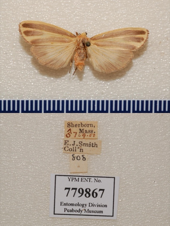
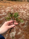
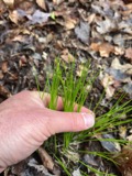
evidence. Museums hold 5,430 specimens
collected within 10 miles of Turner, Stephen, House between 1846 and
1975: 2,805 Animalia, 1,240 Fungi, 1,207 Plantae, 127 Protozoa, 23 Chromista, 23 Unrecorded, 5 Bacteria. 12 distinct Species records are shown.
Collected by A Herz, A. A. Eaton, A. B. Seymour and others. Each is a
physical object with a catalogue
number, and each entry opens the museum's record. This is what was
collected and kept, not a survey of what lives here - nothing can be
concluded from a species being absent.
Regional context, not property-specific
evidence. The federal mineral resources record lists
19 workings within 5 miles of Turner, Stephen, House: 11 past producers, 7 producers, 1 unknown.
7 still produce. What was taken out: Sand and Gravel, Construction, Stone, Granite, Iron. Distance is straight-line from the
map coordinates, so a quarry counted here may appear on a neighbouring
settlement's page as well.
Regional context, not property-specific
evidence. The National Weather Service names
Norfolk, the town this property stands in, in 9 storm reports between 1996 and 2020: 4 thunderstorm wind, 3 hail, 2 lightning.
The reports record 7 injuries. Each account below is quoted exactly as the forecast office
filed it, from the NOAA Storm Events Database, and each date
opens the federal record of that event.
No historic map-sheet match is published
for this property yet. That does not mean no map exists. This record needs
a coordinate-quality review before it can be joined to a sheet boundary.
Browse the county's mapped places while that work is
pending.
Listed places nearby
6 within 8 miles
Other National Register properties close
enough to walk or drive between, ordered by distance from this one. Both
positions come from the same geocoding pass that matched these properties
to their map sheets.
Listing record. National Park Service National Register of Historic Places, listed-properties dataset, current to 2026-05-22.
Map join. Address geocoded through the United States Census geocoder, then tested against the published boundary of every sheet in the USGS Historical Topographic Map Collection.
How this page is made. Listing fields come from federal records; map-sheet coverage is a labelled coordinate-to-boundary calculation, not a source-field claim.
Wildfire. Short, Karen C. 2022. Spatial wildfire occurrence data for the United States, 1992-2020 [FPA_FOD_20221014]. 6th Edition. Fort Collins, CO: Forest Service Research Data Archive. https://doi.org/10.2737/RDS-2013-0009.6 Collected with United States Government funding and usable without additional permissions or fees.
Specimens. Global Biodiversity Information Facility (GBIF), https://www.gbif.org/. Only records licensed CC0 or CC BY are used. Records licensed CC BY-NC are excluded because this site carries advertising. Images are checked individually and any whose licence is non-commercial, no-derivatives or unreadable is refused.
Mines and quarries. USGS Mineral Resources Data System (MRDS) https://mrdata.usgs.gov/mrds/ A work of the United States government, no copyright under 17 U.S.C. 105.
Storms. NOAA National Centers for Environmental Information, Storm Events Database https://www.ncei.noaa.gov/stormevents/ A work of the United States government, no copyright under 17 U.S.C. 105. Narratives are quoted verbatim from the National Weather Service report and are not edited or summarised.
 Block
Block