BlockBefore
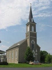
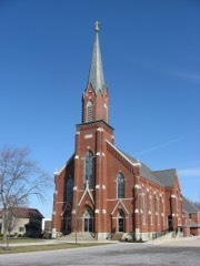
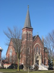
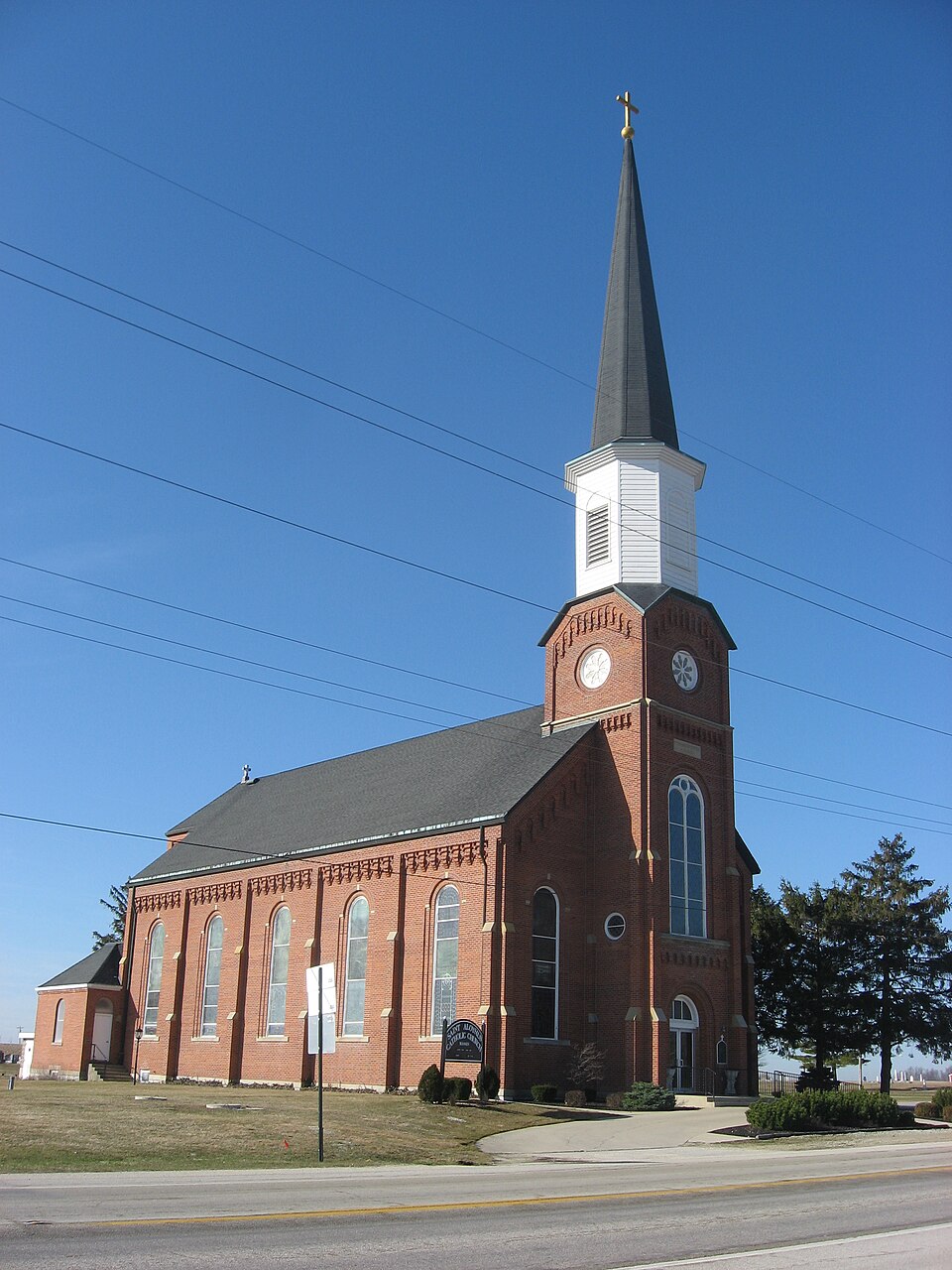
Photograph of St. Aloysius' Catholic Church
Photograph by Nyttend, Public domain. Via Wikimedia Commons.

St. Aloysius Catholic Church

Listed on the National Register of Historic Places in 1979. A historic map-sheet match is not published yet. The record needs a coordinate-quality review before it can be joined to a sheet boundary.

From the record

“Aloysius Catholic Church is a historic Catholic church in Carthagena, an unincorporated community in Marion Township, Mercer County, Ohio, United States. Built in the late nineteenth century, it remains the home of an active parish, and it has been designated a historic site because of its well-preserved architecture.”

Wikipedia article St. Aloysius Catholic Church (Carthagena, Ohio), CC BY-SA 4.0.

one of 28 National Register listings in Mercer County · listed in 1979 · category: Building.

Sources: the Wikipedia article · the case file at the National Archives · the National Register database, National Park Service · the Wikipedia article
The listing

  • What is counted as historic. The nomination lists 1 building as contributing to the listing.
  • Address. OH 274 and OH 127, Carthagena, 45822
  • When was it listed? 1979-07-26
  • Category. building
  • Also known as. Cross-Tipped Churches of Ohio TR
  • Township. Marion township
  • Architectural style. Gothic Revival
  • Architect. Q5243880
  • National Register reference number. 79002824 - the number the National Park Service assigned this property when it was listed, and the key its nomination file is catalogued under at the National Archives.

The ground it stands on

1,639 words

The chapter on Marion Township in History of Mercer County, Ohio, and Representative Citizens, published 1907 names Carthagena. This is what it says, exactly as the scans read.

This township from the earliest history has always been represented at the Court House in Celina. Mathias Gast was an early commissioner of the county; H. H. Pulskamp served as county treasurer from this township and also as probate judge of the county; Bernard Wehrkamp from Carthagena was infirmary director; and Joseph Hinders, formerly of Marion, served as sheriff two terms.

Passage source: History of Mercer County, Ohio, and Representative Citizens, published 1907.

Is located in the northwest corner of the township and is a settlement of perhaps ioo people. The town was laid out by Charles Moore in December, 1840. Here was formerly located the Emlen Institute, established by Augustus Wattles, of Connecticut, as an educational institution for the colored people. The property was later bought by a Catholic order, the Congregation of the Most Precious Blood, which established St. Charles Seminary for the education of young men for the Catholic priesthood. This is the motherhouse of the American Province of the Fathers of the Most Precious Blood. St. Aloysius' Catholic Church is also located at Carthagena. The colored people are growing less in numbers every year, but they still support a church near Carthagena and had a school until a few years ago. The lands once owned by them have been bought by German people and but few colored residents now remain in the township. For many years it was their custom to hold a great jubilee on the first day of August of each year. Carthagena does not command much trade from the surrounding country, as the towns of Coldwater, St. Henry and Chickasaw are too near. It has, however, a general store owned by Anton Link and a carriage and agricultural implement store conducted by Joseph Hartke.

Passage source: History of Mercer County, Ohio, and Representative Citizens, published 1907.

Machine-read from a century-old scan, so expect the errors a machine makes: misspelled names, dropped words, stray characters.

Read the whole chapter on Marion Township - 1,639 words on its settlement, mills, schools and churches.

Specimens collected near this property

12 of 231 shown

Regional context, not property-specific evidence. Museums hold 231 specimens collected within 10 miles of St. Aloysius Catholic Church between 1886 and 1975: 202 Animalia, 24 Fungi, 3 Plantae, 1 Unrecorded, 1 Bacteria. 12 distinct Species records are shown. Collected by . R. Slonakerj, A. D. Selby, Adler, K. K. and others. Each is a physical object with a catalogue number, and each entry opens the museum's record. This is what was collected and kept, not a survey of what lives here - nothing can be concluded from a species being absent.

Image SpeciesYear Collected by Where, as recorded
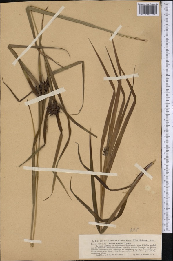
Specimen of Carex grayi J.CareyCarex grayi J.Carey1903Wetzstein A.
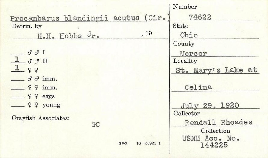
Specimen of Procambarus blandingii (Harlan, 1830)Procambarus blandingii (Harlan, 1830)1920R. RhoadesSt. Marys Lake at Celina
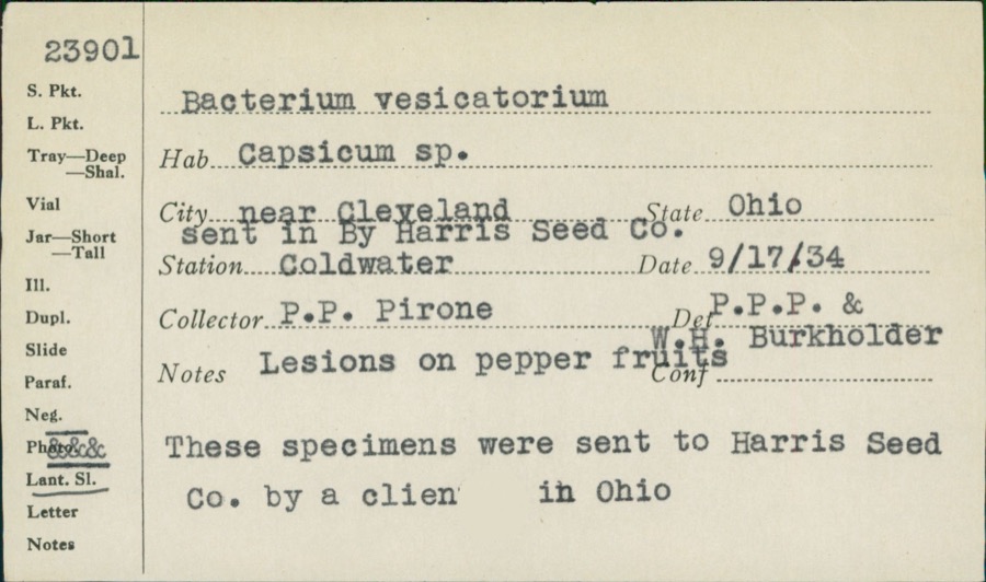
Specimen of unnamed1934P. P. PironeColdwater
A photograph of the species Umbra limi, not of this specimenUmbra limi (Kirtland, 1840)1886Meek and HarrisMontezuma
A photograph of the species Ardea alba, not of this specimenArdea alba egretta Gmelin, 17891888J. R. SlonakerCelina
A photograph of the species Calidris canutus, not of this specimenCalidris canutus (Linnaeus, 1758)1888J. R. SlonakerCelina
A photograph of the species Ceryle alcyon, not of this specimenCeryle alcyon alcyon Cramp & Simmons, 1977-19941888J. R. SlonakerCelina
A photograph of the species Charadrius vociferus, not of this specimenCharadrius vociferus Linnaeus, 17581888J. R. SlonakerCelina
A photograph of the species Cistothorus palustris, not of this specimenCistothorus palustris dissaeptus Bangs, 19021888J. R. SlonakerCelina
A photograph of the species Gallinago gallinago, not of this specimenGallinago gallinago delicata (Ord, 1825)1888J. R. SlonakerCelina
A photograph of the species Porzana carolina, not of this specimenPorzana carolina (Linnaeus, 1758)1888J.R.S.Celina
A photograph of the species Tringa flavipes, not of this specimenTringa flavipes (J.F.Gmelin, 1789)1888J. R. SlonakerCelina

All 231 specimens within 10 miles, at the Global Biodiversity Information Facility.

Storms near this property

3 since 1996

Regional context, not property-specific evidence. The National Weather Service names Carthagena, the town this property stands in, in 3 storm reports between 1996 and 2019: 1 thunderstorm wind, 1 heavy rain, 1 flood. No death or injury is recorded in these reports. Each account below is quoted exactly as the forecast office filed it, from the NOAA Storm Events Database, and each date opens the federal record of that event.

WhenEvent Place namedHarm What the report says
October 1996Thunderstorm WindCarthagena$5,000no account filed
June 2019FloodCarthagena-U.S. Route 127 was closed north of Route 274 due to high water.
January 2013Heavy RainCarthagena-Minor flooding was reported in low lying yards in the Carthagena area due to heavy rainfall.

Every storm recorded in Mercer County

Map coverage status

No historic map-sheet match is published for this property yet. That does not mean no map exists. This record needs a coordinate-quality review before it can be joined to a sheet boundary. Browse the county's mapped places while that work is pending.

From the nomination file

945 words on record

When this property was proposed for the National Register, someone wrote the case for it: what the building is, and why it matters. That document is a federal record in the public domain. It is reproduced in full on its own page, word for word and never summarised. The text was read off the scanned case file by machine, so the occasional stray character is the recogniser's and the 1970s typewriter's.

The whole case file for this property - 945 words, 7 pages, reproduced complete.

Quoted from the National Register nomination for reference 79002824, 7 pages, held by the National Archives in Record Group 79. See the catalogue record.

Listed places nearby

6 within 8 miles

Other National Register properties close enough to walk or drive between, ordered by distance from this one. Both positions come from the same geocoding pass that matched these properties to their map sheets.

Sources for this property

National Archives recordThe nomination case file for reference 79002824 in Record Group 79.
Wikipedia articleCommunity-written account of this property, licensed CC BY-SA.
Mercer CountyAll 28 listed properties in this county.

Provenance

  • Listing record. National Park Service National Register of Historic Places, listed-properties dataset, current to 2026-05-22.
  • Map join. Address geocoded through the United States Census geocoder, then tested against the published boundary of every sheet in the USGS Historical Topographic Map Collection.
  • How this page is made. Listing fields come from federal records; map-sheet coverage is a labelled coordinate-to-boundary calculation, not a source-field claim.
  • Specimens. Global Biodiversity Information Facility (GBIF), https://www.gbif.org/. Only records licensed CC0 or CC BY are used. Records licensed CC BY-NC are excluded because this site carries advertising. Images are checked individually and any whose licence is non-commercial, no-derivatives or unreadable is refused.
  • Storms. NOAA National Centers for Environmental Information, Storm Events Database https://www.ncei.noaa.gov/stormevents/ A work of the United States government, no copyright under 17 U.S.C. 105. Narratives are quoted verbatim from the National Weather Service report and are not edited or summarised.