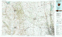
Block
From the record
One of 343 National Register listings published here for Franklin County · listed in 1979 · category: Building.
Sources: the case file at the National Archives · the National Register database, National Park Service
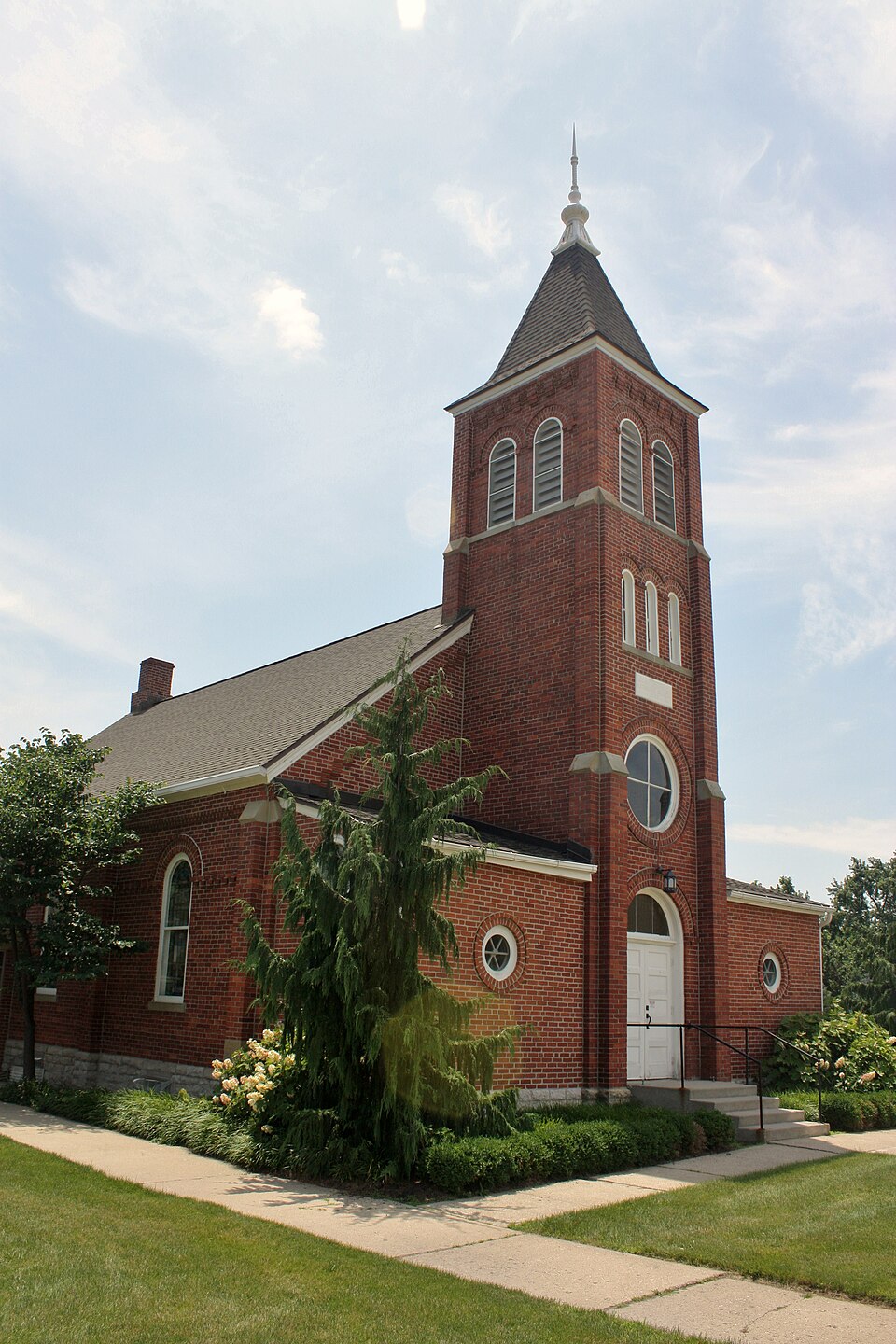
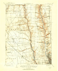
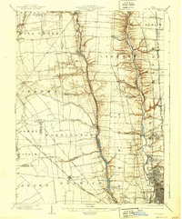
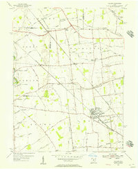
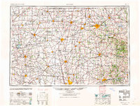
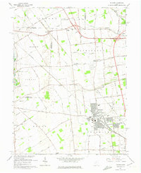
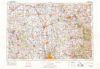
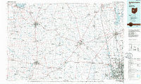
Listed on the National Register of Historic Places in 1979. 9 historic topographic surveys show this location, the earliest from 1901.
One of 343 National Register listings published here for Franklin County · listed in 1979 · category: Building.
Sources: the case file at the National Archives · the National Register database, National Park Service
The ground this property stands on, surveyed 91 years apart. Drag the handle to wipe between them. Both sheets are United States Geological Survey originals; neither has been altered.
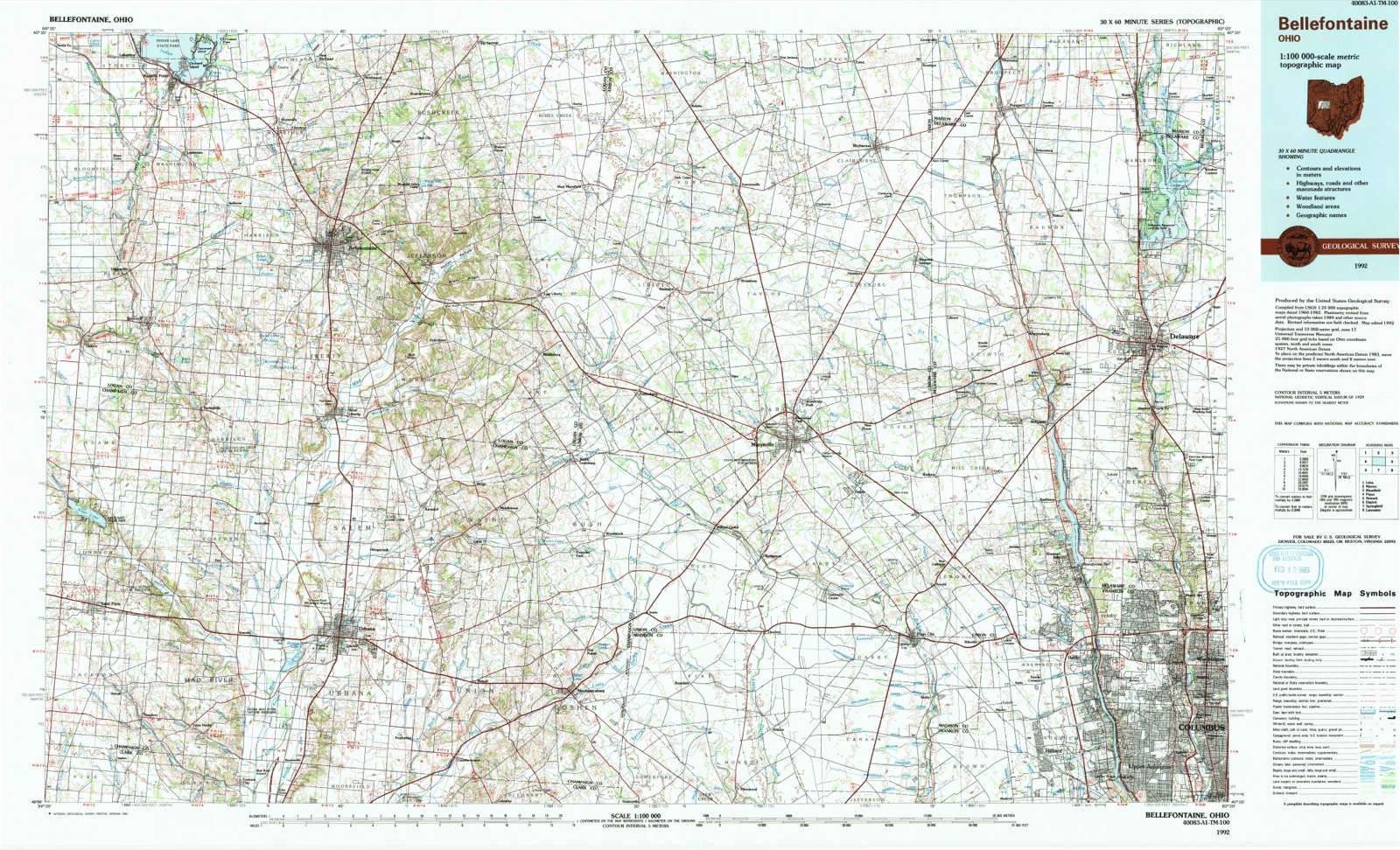
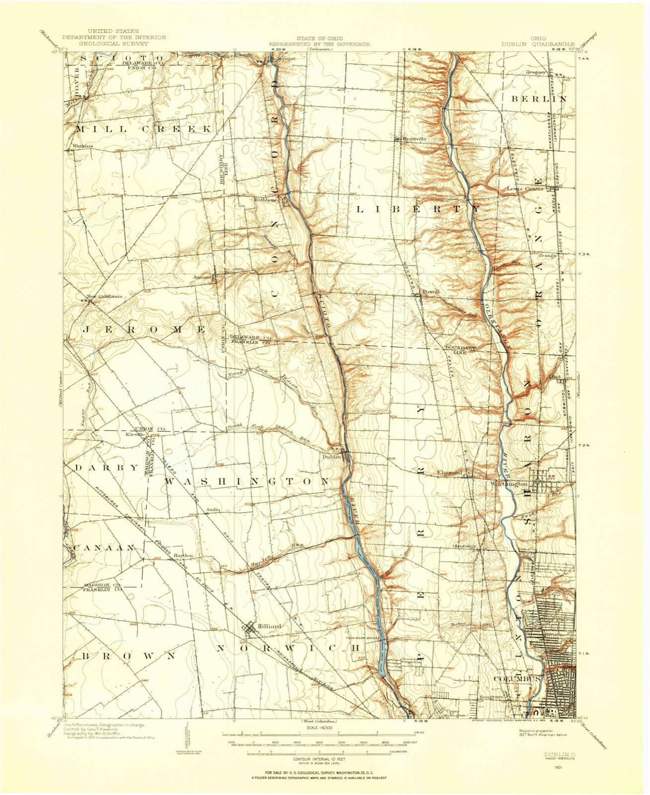
This property stands in Washington Township. History of Franklin County [Ohio]:, published 1858 gives that township a chapter of its own.
The chapter covers the township.
Machine-read from a century-old scan, so expect the errors a machine makes: misspelled names, dropped words, stray characters.
Read the whole chapter on Washington Township - 333 words on its settlement, mills, schools and churches.
Regional context, not property-specific evidence. Museums hold 2,375 specimens collected within 10 miles of St. John's Lutheran Church between 1804 and 1975: 2,308 Animalia, 38 Plantae, 24 Fungi, 3 Unrecorded, 2 Chromista. 12 distinct Species records are shown. Collected by A. J. P., A. Spreitzer, A. Spreitzer & W. LeGrande and others. Each is a physical object with a catalogue number, and each entry opens the museum's record. This is what was collected and kept, not a survey of what lives here - nothing can be concluded from a species being absent.
| Image | Species | Year | Collected by | Where, as recorded |
|---|---|---|---|---|
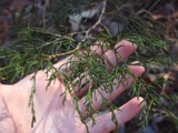 | Juniperus virginiana var. virginiana | 1804 | Dr. Paddock | Worthington |
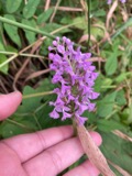 | Platanthera psycodes (L.) Lindl. | 1805 | J. R. Paddock | Worthington |
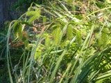 | Carex comosa Boott | 1809 | Collector unknown | Worthington, O. [Inferred county from precise loc.] |
 | Helodium paludosum (Austin) Austin ex Broth. | 1840 | Collector unspecified | "4 miles west of Columbus" |
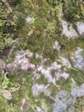 | Serpoleskea confervoides (Brid.) Loeske | 1842 | W. S. Sullivant | 6 miles above Columbus |
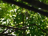 | Vireo olivaceus (Linnaeus, 1766) | 1870 | not recorded | Franklin, Ohio, USA |
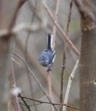 | Polioptila caerulea caerulea (Linnaeus, 1766) | 1875 | Muriealin, J | Flint? |
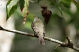 | Empidonax virescens (Vieillot, 1818) | 1877 | P.N. Wheaton | Columbus |
 | Ameiurus melas (Rafinesque, 1820) | 1897 | United States Bureau of Fisheries, R. Osburn & E. Williamson | Ohio, Scioto River, Franklin County |
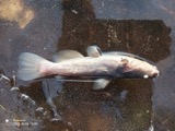 | Ameiurus nebulosus (Lesueur, 1819) | 1897 | R. Osburn & E. Williamson | Olentangy River, Franklin County, Ohio |
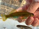 | Etheostoma blennioides blennioides Rafinesque, 1819 | 1897 | not recorded | Olentangy River, Franklin County, Franklin County, township n/a |
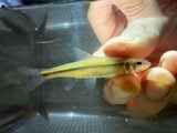 | Hybopsis amblops (Rafinesque, 1820) | 1897 | R. Osburn & E. Williamson | Olentangy River, Franklin County, Ohio |
All 2,375 specimens within 10 miles, at the Global Biodiversity Information Facility.
United States Geological Survey topographic sheets whose coverage includes this point. Matched by taking the coordinate the National Park Service records for this property, then testing that coordinate against the published boundary of every sheet.
When this property was proposed for the National Register, someone wrote the case for it: what the building is, and why it matters. That document is a federal record in the public domain. It is reproduced in full on its own page, word for word and never summarised. The text was read off the scanned case file by machine, so the occasional stray character is the recogniser's and the 1970s typewriter's.
The whole case file for this property - 296 words, 5 pages, reproduced complete.
Quoted from the National Register nomination for reference 79002877, 5 pages, held by the National Archives in Record Group 79. See the catalogue record.
Other National Register properties close enough to walk or drive between, ordered by distance from this one. Both positions come from the same geocoding pass that matched these properties to their map sheets.
| Photograph | Property | Distance | Listed |
|---|---|---|---|
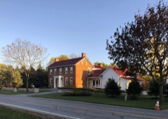 | Myer House | under 500 feet | 1979 |
| Louis Rings Residence | 1.2 miles | 1979 | |
| Louis Rings Barn #1 | 1.2 miles | 1979 | |
| Louis Rings Barn #2 | 1.2 miles | 1979 | |
| E. Boles Cottage | 1.5 miles | 1979 | |
| Walter Datz House | 1.5 miles | 1979 |
| National Archives record | The nomination case file for reference 79002877 in Record Group 79. |
| Franklin County | All 343 listed properties in this county. |