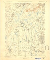
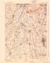
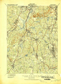
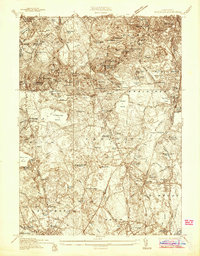
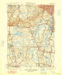
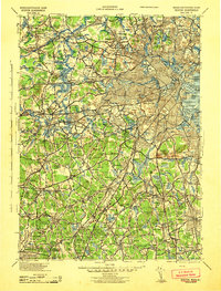
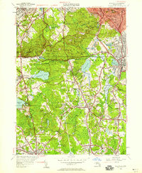
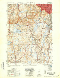
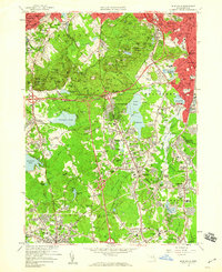
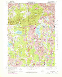
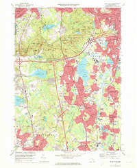
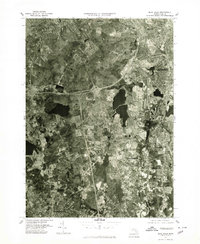
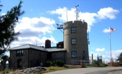
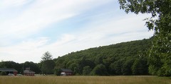
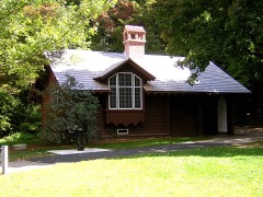
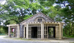
Listed on the National Register of Historic Places in 1980. 19 historic topographic surveys show this location, the earliest from 1886.
From the record
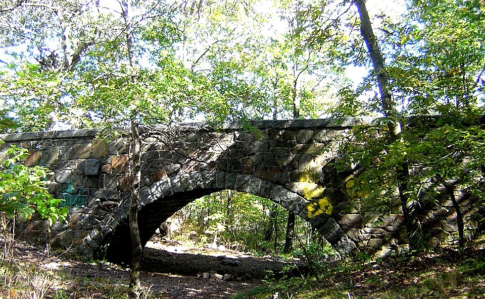
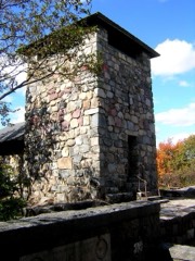
“The Eliot Memorial Bridge is a footbridge which was built in 1904 in memory of Charles Eliot, landscape architect to the Metropolitan Park Commission. It is located on the Skyline Trail near the summit of Great Blue Hill in the Blue Hills Reservation, south of Boston, Massachusetts.”
Wikipedia article Eliot Memorial Bridge, CC BY-SA 4.0.
One of 342 National Register listings published here for Norfolk County · listed in 1980 · category: Structure.
Also known as. Blue Hills and Neponset River Reservations MRA
Town. Milton town
National Register reference number.80000662- the number the National Park Service assigned this property when it was listed, and the key its nomination file is catalogued under at the National Archives.
For six years after the arrival in Massachusetts Bay of Governor Winthrop, with the charter, in 1630, and the great accompanying emigration connected with this movement, all the territory comprised within the present borders of Milton remained a part of the undivided lands of the colony, and during this period three gentlemen, who were doubtless members or stockholders of the company before they left England, - lIsrael Stoughton, John Glover, and William Hutchinson, - selected a part of the Jand dividends to which they were entitled within our limits. probably attracted by certain natural advantages which belonged to the locality, - the water-falls in the river, the convenience for ship-building offered by the tidewaters, an abundant supply of ship-timber, and, above Stoughton and Glover were prominent men in the Dorchester
Mr. Stoughton selected one hundred and sixty acres of land connected with the lower falls, including nearly the whole of Milton Hill, and the front on the river to the bend, where the ship-yard of Mr. Briggs was located. Nearly all this property continued in him and his heirs for more than twenty
Regional context, not property-specific
evidence. The
federal wildfire occurrence database
lists 185 fires within 5 miles of Eliot Memorial Bridge
between 2015 and 2020, burning about 101 acres in total. None started naturally. None was recorded as arson.
Distance is straight-line from the map coordinates, so a fire counted
here may appear on a neighbouring settlement's page as well.
Reported cause
Fires
Recreation and ceremony
84
Missing data/not specified/undetermined
49
Smoking
42
Equipment and vehicle use
5
Debris and open burning
4
Railroad operations and maintenance
1
The most recent of
them, most recent first, with the day each was reported and the service
that recorded it.
Regional context, not property-specific
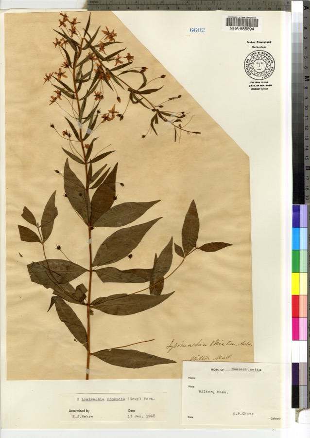
evidence. Museums hold 10,453 specimens
collected within 10 miles of Eliot Memorial Bridge between 1815 and 1975: 4,370 Plantae, 2,954 Fungi, 2,729 Animalia, 230 Protozoa, 105 Chromista, 42 Unrecorded, 23 Bacteria.
12 distinct Species records are shown.
Collected by (MARSDEN, H W), ?, ? ex Herb. W.G. Farlow and others. Each is a
physical object with a catalogue
number, and each entry opens the museum's record. This is what was
collected and kept, not a survey of what lives here - nothing can be
concluded from a species being absent.
Regional context, not property-specific
evidence. The federal mineral resources record lists
7 workings within 5 miles of Eliot Memorial Bridge: 3 past producers, 2 unknowns, 2 producers.
2 still produce. What was taken out: Sand and Gravel, Construction, Stone, Crushed/Broken, Granite. Distance is straight-line from the
map coordinates, so a quarry counted here may appear on a neighbouring
settlement's page as well.
Regional context, not property-specific
evidence. The National Weather Service names
Milton, the town this property stands in, in 21 storm reports between 1996 and 2025: 9 thunderstorm wind, 5 lightning, 4 heavy rain, 1 hail.
The reports record 3 injuries. Each account below is quoted exactly as the forecast office
filed it, from the NOAA Storm Events Database, and each date
opens the federal record of that event.
Lightning struck a house on Augusta Road, causing a fire that engulfed the entire third floor of the house. No one was home at the time of the fire. Three firefighters were hospitalized for heat exhaustion but were released less than 24 hours later.
United States Geological Survey topographic
sheets whose coverage includes this point. Matched by taking the coordinate the National Park Service records for this property, then
testing that coordinate against the published boundary of every sheet.
Other National Register properties close
enough to walk or drive between, ordered by distance from this one. Both
positions come from the same geocoding pass that matched these properties
to their map sheets.
Listing record. National Park Service National Register of Historic Places, listed-properties dataset, current to 2026-05-22.
Map join. Address geocoded through the United States Census geocoder, then tested against the published boundary of every sheet in the USGS Historical Topographic Map Collection.
How this page is made. Listing fields come from federal records; map-sheet coverage is a labelled coordinate-to-boundary calculation, not a source-field claim.
Wildfire. Short, Karen C. 2022. Spatial wildfire occurrence data for the United States, 1992-2020 [FPA_FOD_20221014]. 6th Edition. Fort Collins, CO: Forest Service Research Data Archive. https://doi.org/10.2737/RDS-2013-0009.6 Collected with United States Government funding and usable without additional permissions or fees.
Specimens. Global Biodiversity Information Facility (GBIF), https://www.gbif.org/. Only records licensed CC0 or CC BY are used. Records licensed CC BY-NC are excluded because this site carries advertising. Images are checked individually and any whose licence is non-commercial, no-derivatives or unreadable is refused.
Mines and quarries. USGS Mineral Resources Data System (MRDS) https://mrdata.usgs.gov/mrds/ A work of the United States government, no copyright under 17 U.S.C. 105.
Storms. NOAA National Centers for Environmental Information, Storm Events Database https://www.ncei.noaa.gov/stormevents/ A work of the United States government, no copyright under 17 U.S.C. 105. Narratives are quoted verbatim from the National Weather Service report and are not edited or summarised.
 Block