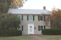
National Register reference number.80002990- the number the National Park Service assigned this property when it was listed, and the key its nomination file is catalogued under at the National Archives.
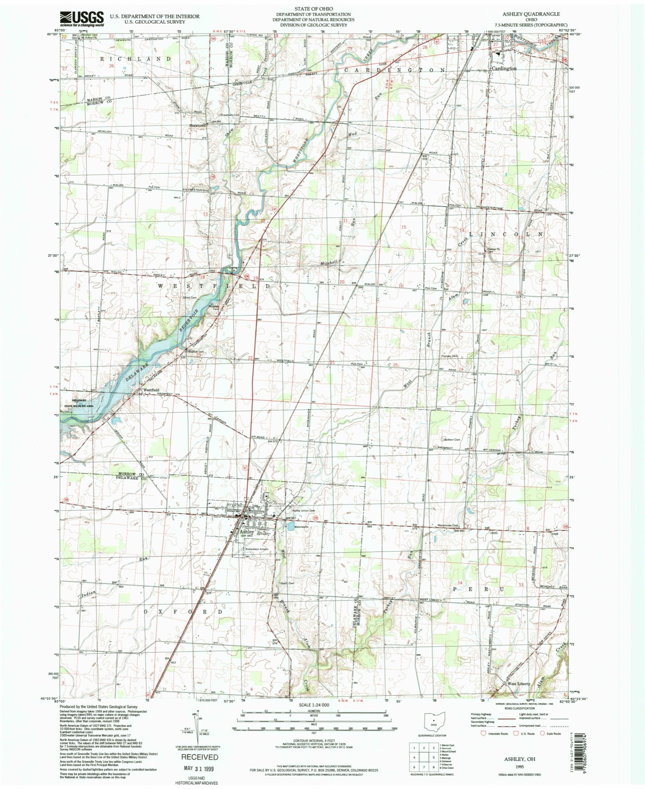
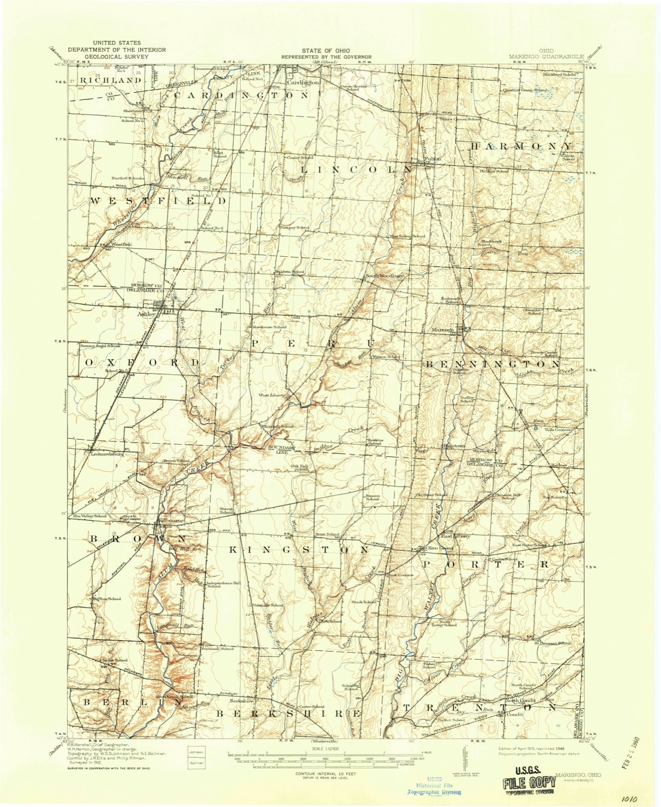
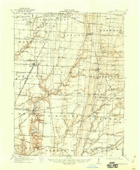
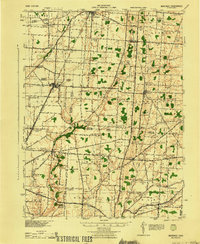
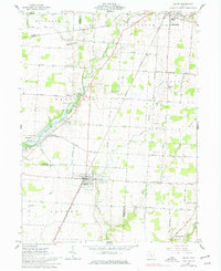
Then and now
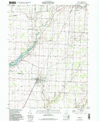
1915 to 1995
The ground this property stands on, surveyed
80 years apart. Drag the handle to wipe between them. Both sheets are
United States Geological Survey originals; neither has been altered.
19151995
Fires near this property
1 since 2012
Regional context, not property-specific
evidence. The
federal wildfire occurrence database
lists 1 fire within 5 miles of Building at 101 North Franklin Street
in 2012, burning about 1 acre in total. None started naturally. None was recorded as arson.
Distance is straight-line from the map coordinates, so a fire counted
here may appear on a neighbouring settlement's page as well.
Reported cause
Fires
Debris and open burning
1
The most recent of
them, most recent first, with the day each was reported and the service
that recorded it.
Regional context, not property-specific
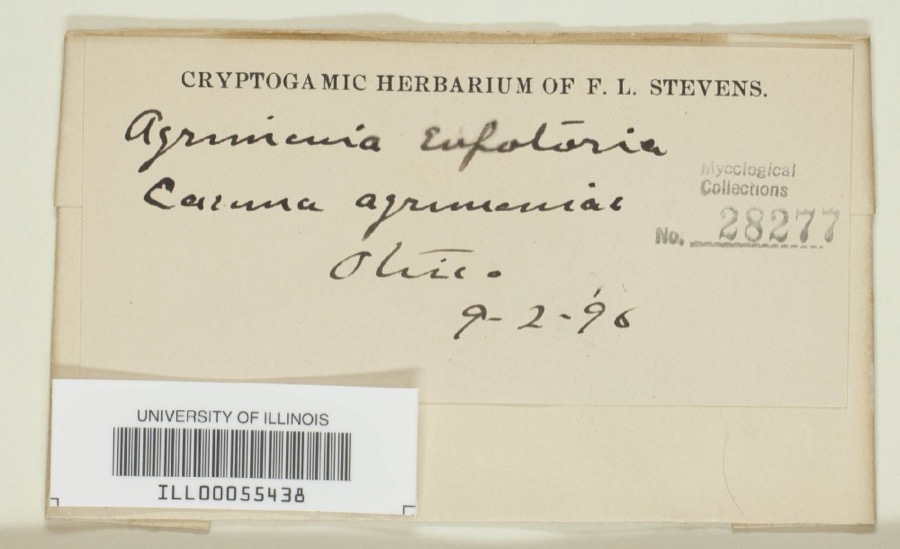
evidence. Museums hold 1,444 specimens
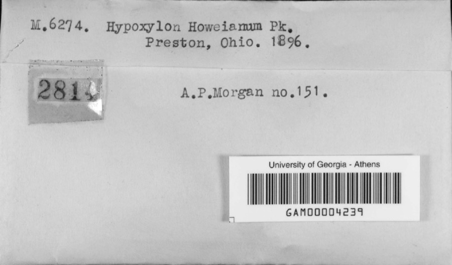
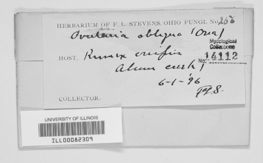
collected within 10 miles of Building at 101 North Franklin Street between 1837 and 1975: 1,243 Animalia, 101 Fungi, 88 Plantae, 5 Chromista, 4 Protozoa, 3 Unrecorded.
12 distinct Species records are shown.
Collected by A. P. Morgan, A.P. Morgan, Adler, K. K. and others. Each is a
physical object with a catalogue
number, and each entry opens the museum's record. This is what was
collected and kept, not a survey of what lives here - nothing can be
concluded from a species being absent.
Regional context, not property-specific
evidence. The federal mineral resources record lists
1 working within 5 miles of Building at 101 North Franklin Street: 1 past producer.
None of them still produces. What was taken out: Limestone, General. Distance is straight-line from the
map coordinates, so a quarry counted here may appear on a neighbouring
settlement's page as well.
Regional context, not property-specific
evidence. The National Weather Service names
Ashley, the town this property stands in, in 15 storm reports between 1994 and 2017: 14 thunderstorm wind, 1 hail.
No death or injury is recorded in these reports. Each account below is quoted exactly as the forecast office
filed it, from the NOAA Storm Events Database, and each date
opens the federal record of that event.
Trees were downed. Twenty sailboats capsized in O'Shaughnessy Reservoir (Shawnee Hills area) during the storm. Many boaters had to be rescued from the water well off shore.
United States Geological Survey topographic
sheets whose coverage includes this point. Matched by taking the coordinate the National Park Service records for this property, then
testing that coordinate against the published boundary of every sheet.
When this property was proposed for the
National Register, someone wrote the case for it: what the building is,
and why it matters. That document is a federal record in the public domain.
It is quoted below word for word, never summarised. The text was read off the scanned case file by machine, so the
occasional stray character is the recogniser's and the 1970s
typewriter's.
Description of the property
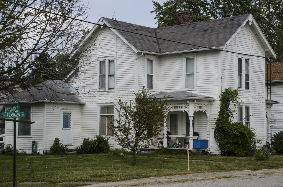
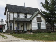
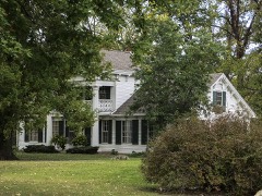
Opel House- This house, constructed in 1891--is the earliest of the four. It is con- originally one room deep. The three bay facade features a gabled projection with a the exterior design. A large frame was added to the rear of the house. The interior has been altered and 'modernized." over 1 window on each story. On the first story it is flanked by angled windows with the east and west elevations and face south toward the street. Horizontal siding is used on the first story and undulant pattern siding on the second. The rear elevation is quite plain. A one story addition extends the length of the rear of the house. Double hung 1 over 1 windows are used throughout. The plan is "T" shaped and that form windows are all double hung 1 over 1 lights.
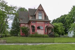
A one story frame addition has been con- sizes, materials and decorative elements contribute to its lively appearance. The facade is dominated by a projecting bay with a central stained glass window and angled windows decorated with pendants with Eastlake brackets. A large roof dormer X good structed across the rear of the house. This building has been vacant for some time.
gabled dormers and hipped roof are covered with green and gray diamond patterned com- unexposed - moveddate projecting central section flanked by identical Eastlake porches.The simple horizontal _ruins TECHNICAL & Photos _ Inventory - BRANCH CHIEF Entered NOV 25 1980 United States Department of the Interior -Heritage Conservation and Recreation Service OTHER KEEPER HAER CONTROL ARCHEOLOGIST HISTORIAN Maps Send-back Re-submit Review National Register Write-up REVIEW UNIT CHIEF Federal Register Entry 2.2.82 State OA. DELAWARE COUNTY, OHIO JOANNE F. OAKS LYNN HOUSE D.) Ashley, Ohio OCT 1 4 1980 Westerville, Ohio August, 1979 NOV 2 5 1980 101 N. Franklin St.
Quoted from the National Register nomination
for reference 80002990, 5 pages, held by the National Archives in Record
Group 79. See the
catalogue record.
Listed places nearby
5 within 8 miles
Other National Register properties close
enough to walk or drive between, ordered by distance from this one. Both
positions come from the same geocoding pass that matched these properties
to their map sheets.
Listing record. National Park Service National Register of Historic Places, listed-properties dataset, current to 2026-05-22.
Map join. Address geocoded through the United States Census geocoder, then tested against the published boundary of every sheet in the USGS Historical Topographic Map Collection.
How this page is made. Listing fields come from federal records; map-sheet coverage is a labelled coordinate-to-boundary calculation, not a source-field claim.
Wildfire. Short, Karen C. 2022. Spatial wildfire occurrence data for the United States, 1992-2020 [FPA_FOD_20221014]. 6th Edition. Fort Collins, CO: Forest Service Research Data Archive. https://doi.org/10.2737/RDS-2013-0009.6 Collected with United States Government funding and usable without additional permissions or fees.
Specimens. Global Biodiversity Information Facility (GBIF), https://www.gbif.org/. Only records licensed CC0 or CC BY are used. Records licensed CC BY-NC are excluded because this site carries advertising. Images are checked individually and any whose licence is non-commercial, no-derivatives or unreadable is refused.
Mines and quarries. USGS Mineral Resources Data System (MRDS) https://mrdata.usgs.gov/mrds/ A work of the United States government, no copyright under 17 U.S.C. 105.
Storms. NOAA National Centers for Environmental Information, Storm Events Database https://www.ncei.noaa.gov/stormevents/ A work of the United States government, no copyright under 17 U.S.C. 105. Narratives are quoted verbatim from the National Weather Service report and are not edited or summarised.
 Block