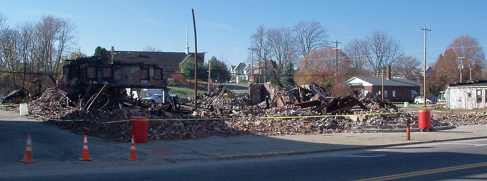
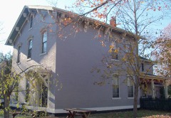
Photograph by Roseohioresident, Public domain. Via
Wikimedia Commons.
Garver Brothers Store
Built in 1902. Listed on the National Register of Historic Places in
1980. A historic map-sheet match is not published yet. The record needs a coordinate-quality review before it can be joined to a sheet boundary.
From the record
“The Garver Brothers Store was a historic commercial structure in the village of Strasburg, Ohio, United States. A simple commercial building in the village's downtown, it held a prominent place in the community and surrounding region.”
Wikipedia article Garver Brothers Store, CC BY-SA 4.0.
one of 20 National Register listings in Tuscarawas County · listed in 1980 · category: Building · built in 1902 · one of 1 National Historic Landmarks in Tuscarawas County.
National Register reference number.80003238- the number the National Park Service assigned this property when it was listed, and the key its nomination file is catalogued under at the National Archives.
The ground it stands on
3,357 words
The chapter on Franklin Township in The History of Tuscarawas County, Ohio, published 1884 names Strasburg. This is what it says, exactly as the scans read.
Several archaeological remains of considerable magnitude have recently existed in this township, but the ravages of the plow are rapidly effacing all traces of them. About sixty rods above Sugar Creek Falls, on the north side of the stream, a raised earthwork extended across the plains. The embankment may yet be clearly traced where the land has not yet been cleared. A large white oak, standing on the top of the elevation near the north end, attests the antiquity of the works. About three-fourths of a mile south of Strasburg, on the Hartline farm, near the edge of the plains, is a fort, inclosing about a half acre. The embankment in early days was three or four feet in height. On the east side in one comer, was a gateway or entrance.
The earliest white settlers of Franklin Township were not land owners. A few squatters built temporary cabins on the plains and tilled a little soil, but hunted and trapped principally for a living, and the school lots in the southwest part of the township were leased and occupied before much, if any, land was entered and settled. It is impossible to state with any degree of certainty the name of the first pioneer. John Burris is said to have been here more than eighty years ago. He came from Maryland, was a noted hunter and Indian fighter, and participated in the war of 1812. More than one Indian is said to have fallen beneath the aim of his rifle. Burris was of a roving disposition, leased a school lot for a time, owned no property, and died in the township. William Smoyer is accredited by some with being the first settler. He was an old bachelor and a squatter. He cleared a little patch of ground on the Zeltman farm, a half mile north N of Strasburg, lived there for some time in a little cabin, then encamped farther up the stream on the Zimmerman farm, southeast quarter of Section 13. In his old age, he shook the dust of Tuscarawas County from his feet and departed for a wilder, more western habitation.
Regional context, not property-specific
evidence. The
federal wildfire occurrence database
lists 18 fires within 5 miles of Garver Brothers Store between
2004 and 2020, burning about 36 acres in total. None started naturally. 1 was recorded as arson.
Distance is straight-line from the map coordinates, so a fire counted
here may appear on a neighbouring settlement's page as well.
Reported cause
Fires
Debris and open burning
8
Power generation/transmission/distribution
4
Missing data/not specified/undetermined
3
Arson/incendiarism
1
Recreation and ceremony
1
Equipment and vehicle use
1
The most recent of
them, most recent first, with the day each was reported and the service
that recorded it.
Regional context, not property-specific
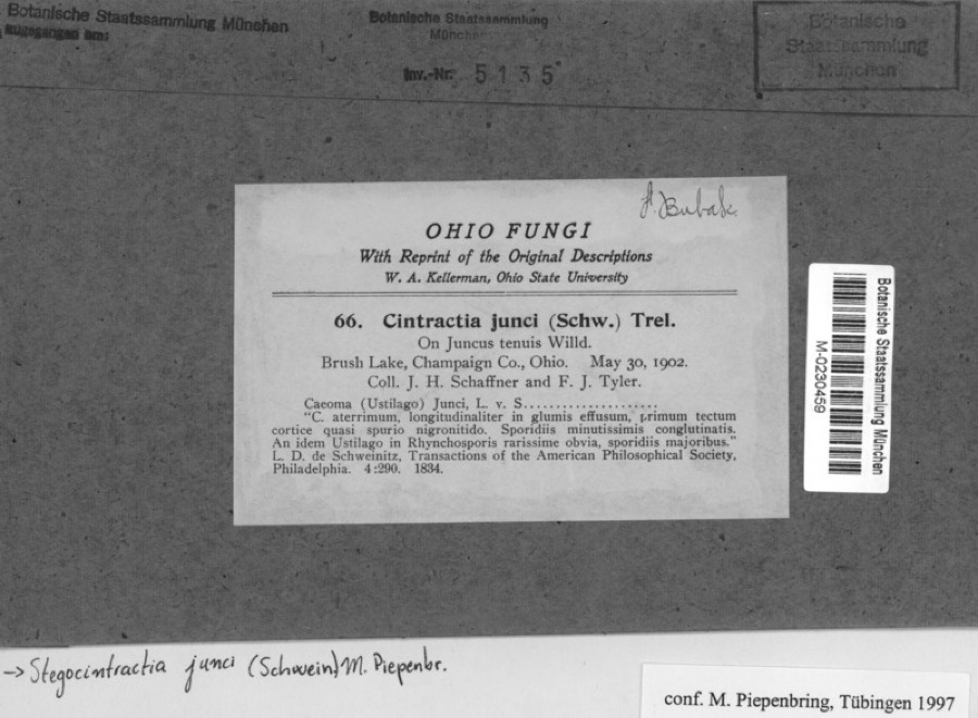
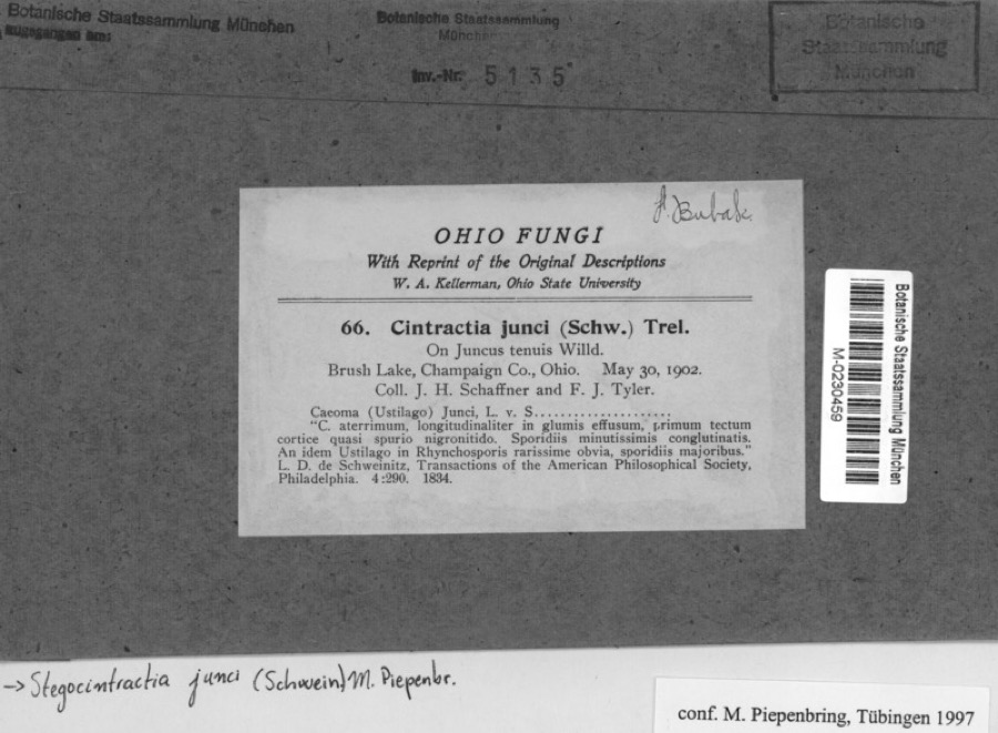
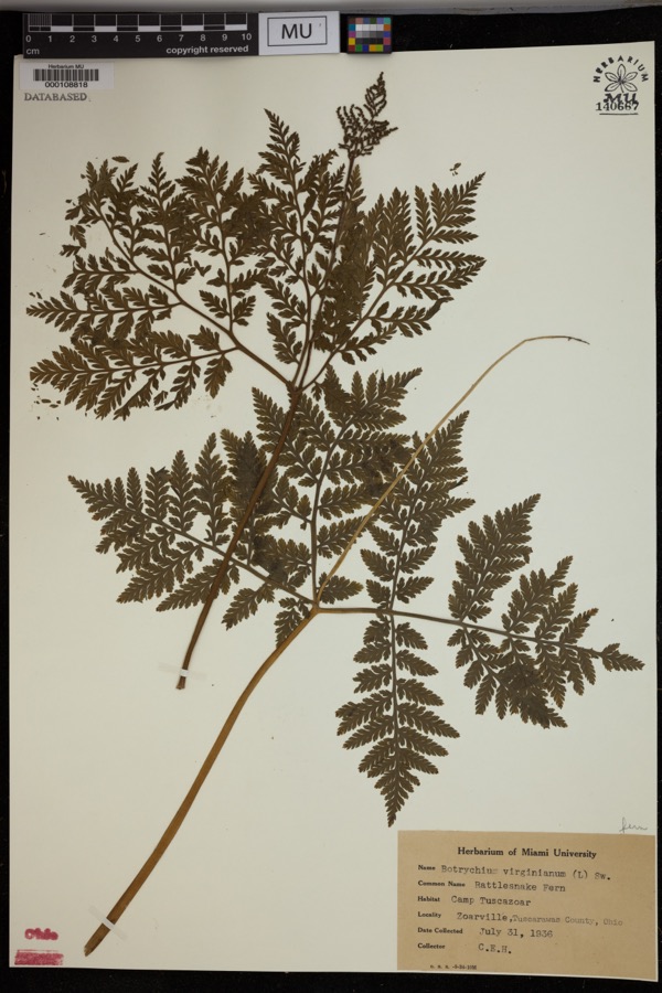
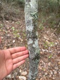
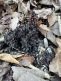
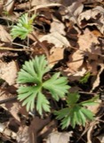
evidence. Museums hold 349 specimens
collected within 10 miles of Garver Brothers Store between 1851 and
1973: 190 Animalia, 144 Plantae, 14 Fungi, 1 Chromista. 12 distinct Species records are shown.
Collected by A W Cusick, A. Cibula, A. Cobula and others. Each is a
physical object with a catalogue
number, and each entry opens the museum's record. This is what was
collected and kept, not a survey of what lives here - nothing can be
concluded from a species being absent.
Regional context, not property-specific
evidence. The federal mineral resources record lists
18 workings within 5 miles of Garver Brothers Store: 10 producers, 7 past producers, 1 plant.
11 still produce. What was taken out: Clay, Stone, Crushed/Broken, Coal, Sand and Gravel, Construction. Distance is straight-line from the
map coordinates, so a quarry counted here may appear on a neighbouring
settlement's page as well.
Regional context, not property-specific
evidence. The National Weather Service names
Strasburg, the town this property stands in, in 28 storm reports between 1996 and 2025: 17 thunderstorm wind, 7 hail, 3 flash flood, 1 tornado.
No death or injury is recorded in these reports. Each account below is quoted exactly as the forecast office
filed it, from the NOAA Storm Events Database, and each date
opens the federal record of that event.
An NWS storm survey found a tornado producing weak F1 damage to trees and out buildings touched down about 2 miles northwest of Strousberg and lifted 2 miles north of Strousberg. The tornado was on the ground for about 3 miles with a width of around 50 yards. This tornado was produced by the same severe thunderstorm that produced tornadoes in both Holmes and Stark counties in Ohio. (See StormData for Northeast Ohio)
At 1246 AM EDT on 17th, the intersection of SR 250 and Rte 21 flooded. By 430 AM EDT on 17th, Walnut Creek flooded near Dundee, causing the closing of Walnut Creek Rd and Trail Bottom Rd. And CR 94 and CR 95 were flooded.
No historic map-sheet match is published
for this property yet. That does not mean no map exists. This record needs
a coordinate-quality review before it can be joined to a sheet boundary.
Browse the county's mapped places while that work is
pending.
From the nomination file
5,605 words on record
When this property was proposed for the
National Register, someone wrote the case for it: what the building is,
and why it matters. That document is a federal record in the public domain.
It is quoted below word for word, never summarised. The text was read off the scanned case file by machine, so the
occasional stray character is the recogniser's and the 1970s
typewriter's.
Description of the property
the first floor is a l5'x95'balcony. The stores originally had a pneumatic The cornice features a parapet wall with a beltcoarse of corbeled brick work The facade is divided into 3 bays.The central bay of the first story is an rectangular and have l/l double hung sash. X altered 3. carved stones which read "1866", "Garver" and "1902." deteriorated excellent Areas of Significance - Check and justify below - prehistoric - archeology-historic - agriculture _sculpture - education . military X commerce -X 1900- _ communications other (specify) Statement of
Statement of significance
(in one paragraph) They were the sons of a small mercantile businessman, Philip A, Garver, who 1908 Atlas included piano, curtain, drug, dry goods, hardware, carpet, shoe, It is, in fact, comparable to the present mall marketing concept. As a con- sequence, the firm served a truly regional area, drawing its customers from 1902 1600-1699 1700-1799 1500-1599 1800-1899 1400-1499 transportation economics engineering politics/government humanitarian Builder/Architect conservation Period theater architecture industry philosophy invention music science exploration/settlement Specific dates law literature 8.
Significance building housed was far wider than the usual general store and as shown in the 1875 commercial block in 1902,the brothers planned and constructed what was -art a 300-400 mile radius.The company also had innovative sales techniques within queensware, clothing, house furnishing, furniture, and grocery departments. main commercial street of this"quiet country trading reflect the social/ began ina small 1story log structure in 1866.After a fire destroyed an landscape architecture unusually visionary marketing concepts of its builders, G.A, and Rudy K, Garver. religion Strasburg.Its remarkable full three stories and 35 yard facade tower over the the stores including a pneumatic tube cash and charge carrier system.
The Garver Brothers Store is a major visual landmark in the small community of touted as the "world's Largest Country Stores."The range of products the new 9.
Quoted from the National Register nomination
for reference 80003238, 41 pages, held by the National Archives in Record
Group 79. See the
catalogue record.
Listed places nearby
6 within 8 miles
Other National Register properties close
enough to walk or drive between, ordered by distance from this one. Both
positions come from the same geocoding pass that matched these properties
to their map sheets.
Listing record. National Park Service National Register of Historic Places, listed-properties dataset, current to 2026-05-22.
Map join. Address geocoded through the United States Census geocoder, then tested against the published boundary of every sheet in the USGS Historical Topographic Map Collection.
How this page is made. Listing fields come from federal records; map-sheet coverage is a labelled coordinate-to-boundary calculation, not a source-field claim.
Wildfire. Short, Karen C. 2022. Spatial wildfire occurrence data for the United States, 1992-2020 [FPA_FOD_20221014]. 6th Edition. Fort Collins, CO: Forest Service Research Data Archive. https://doi.org/10.2737/RDS-2013-0009.6 Collected with United States Government funding and usable without additional permissions or fees.
Specimens. Global Biodiversity Information Facility (GBIF), https://www.gbif.org/. Only records licensed CC0 or CC BY are used. Records licensed CC BY-NC are excluded because this site carries advertising. Images are checked individually and any whose licence is non-commercial, no-derivatives or unreadable is refused.
Mines and quarries. USGS Mineral Resources Data System (MRDS) https://mrdata.usgs.gov/mrds/ A work of the United States government, no copyright under 17 U.S.C. 105.
Storms. NOAA National Centers for Environmental Information, Storm Events Database https://www.ncei.noaa.gov/stormevents/ A work of the United States government, no copyright under 17 U.S.C. 105. Narratives are quoted verbatim from the National Weather Service report and are not edited or summarised.
 Block
Block