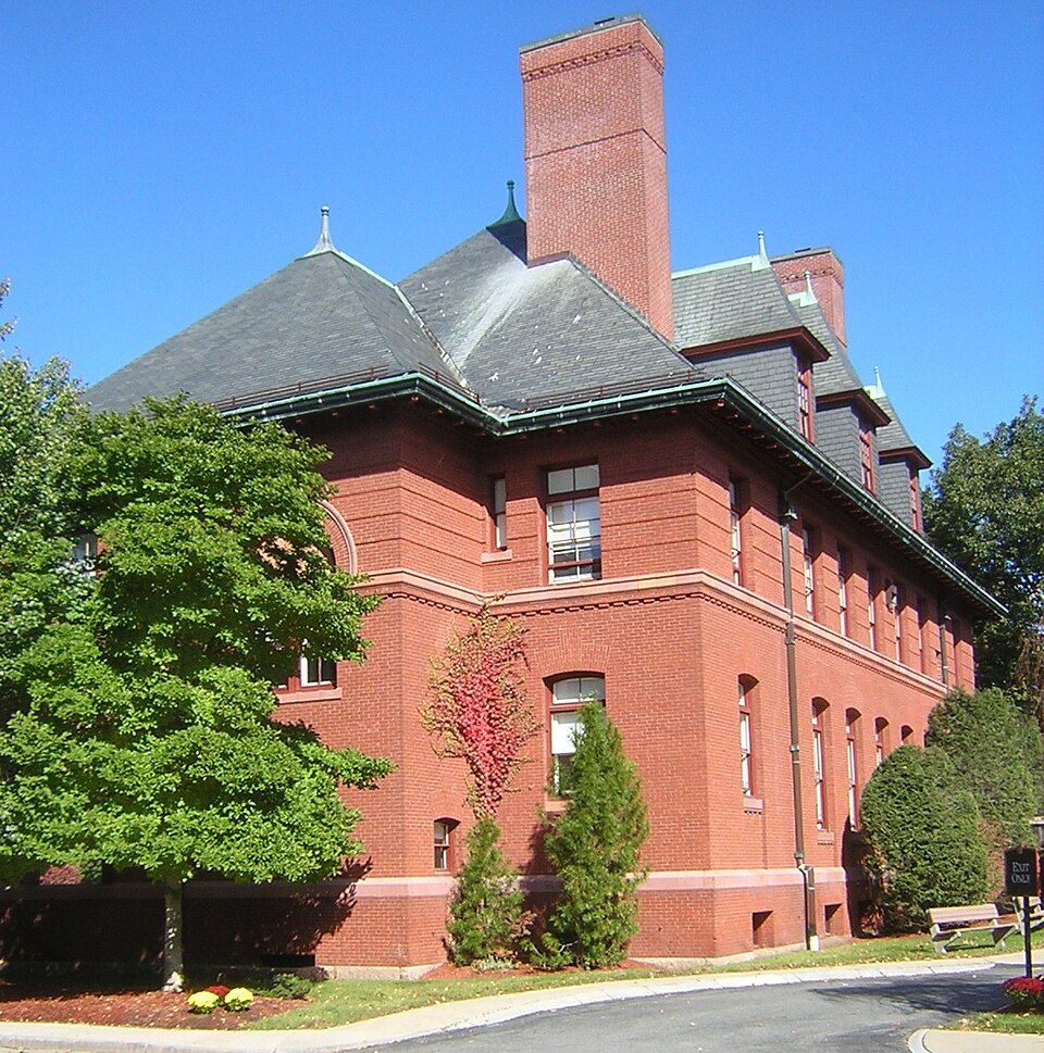
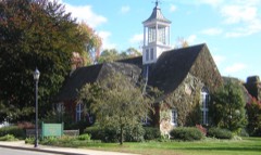
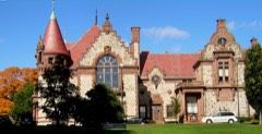
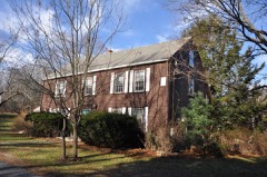
Built in 1894 in the Romanesque Revival architecture. Listed on the National Register of Historic Places in
1981. A historic map-sheet match is not published yet. The record needs a coordinate-quality review before it can be joined to a sheet boundary.
From the record
“The Intermediate Building is a historic municipal building at 324 Washington Street in Wellesley Hills, Massachusetts. Designed by architects Hartwell and Richardson, and completed in 1894, it is a two-story brick building with Romanesque styling.”
Wikipedia article Intermediate Building, CC BY-SA 4.0.
one of 249 National Register listings in Norfolk County · listed in 1981 · category: Building · built in 1894, Romanesque Revival architecture, by Hartwell and Richardson · one of 2 National Historic Landmarks in Norfolk County.
Architectural style. Romanesque Revival architecture, Queen Anne style
Architect. Hartwell and Richardson
National Register reference number.81000112- the number the National Park Service assigned this property when it was listed, and the key its nomination file is catalogued under at the National Archives.
There has been a very steady growth of the town in buildings of a more or less public character, as witness the various dormitories and other buildings in the College grounds and vicinity, the Town Hall - the generous gift of Mr. Hunnewell - school buildings erected, the different business blocks at Wellesley and the Hills, also St. Andrew's church in Wellesley, and the Unitarian and Congregational church buildings in the Hills. Different residential sections have developed very attractively, as along Dover and Grove Streets in Wellesley, and Abbott Road, Belvedere, and Cliff Road, Wellesley Hills, and clusters of humbler homes on no less attractive sites, as on River Ridge, Newton Lower Falls and Garfield Farm, near the Boston and Worcester car station.
Of very important influence in social affairs have been the several clubs which have been organized within the time mentioned: notably, the Wellesley Hills Woman's Club, organized in 1894 with Mrs. Abby S. Fiske for first president, and now having about 260 members. The Wellesley Club was organized in 1889, with Col. Albert Clarke for first president and now has 100 members and a large waiting list. This club has many of the features of the Board of Trade in other municipalities, and has done much in ways of investigating propositions for improvements in town affairs, notably in railway fares, parks and the like. The Maugus Club organized in 1892 has a commodious Club House and 100 members.
Regional context, not property-specific
evidence. The
federal wildfire occurrence database
lists 111 fires within 5 miles of Intermediate Building between
2015 and 2020, burning about 82 acres in total. 1 started naturally. None was recorded as arson.
Distance is straight-line from the map coordinates, so a fire counted
here may appear on a neighbouring settlement's page as well.
Reported cause
Fires
Recreation and ceremony
56
Missing data/not specified/undetermined
35
Debris and open burning
11
Power generation/transmission/distribution
3
Smoking
3
Misuse of fire by a minor
1
Other causes
1
Natural
1
The most recent of
them, most recent first, with the day each was reported and the service
that recorded it.
Regional context, not property-specific
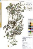
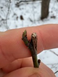
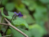
evidence. Museums hold 13,291 specimens
collected within 10 miles of Intermediate Building between 1805 and
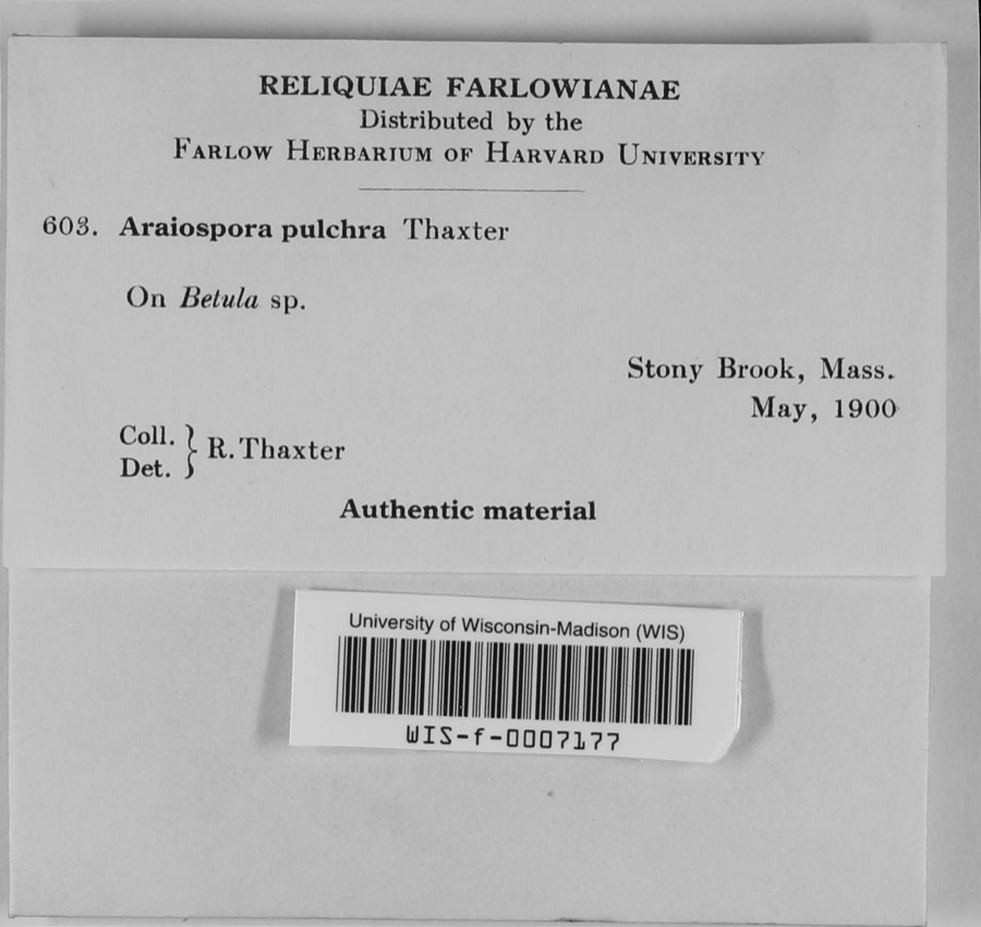
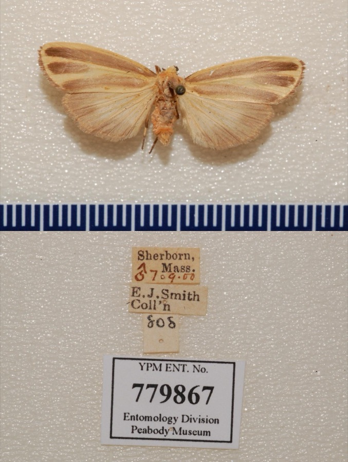
1975: 5,487 Animalia, 3,786 Fungi, 3,580 Plantae, 192 Protozoa, 168 Chromista, 46 Unrecorded, 32 Bacteria. 12 distinct Species records are shown.
Collected by ?, ? ex Herb. W.G. Farlow, A C Gibson and others. Each is a
physical object with a catalogue
number, and each entry opens the museum's record. This is what was
collected and kept, not a survey of what lives here - nothing can be
concluded from a species being absent.
Regional context, not property-specific
evidence. The federal mineral resources record lists
11 workings within 5 miles of Intermediate Building: 8 past producers, 2 producers, 1 plant.
3 still produce. What was taken out: Sand and Gravel, Construction, Stone, Crushed/Broken, Stone, Tantalum. Distance is straight-line from the
map coordinates, so a quarry counted here may appear on a neighbouring
settlement's page as well.
No historic map-sheet match is published
for this property yet. That does not mean no map exists. This record needs
a coordinate-quality review before it can be joined to a sheet boundary.
Browse the county's mapped places while that work is
pending.
From the nomination file
1,703 words on record
When this property was proposed for the
National Register, someone wrote the case for it: what the building is,
and why it matters. That document is a federal record in the public domain.
It is quoted below word for word, never summarised. The text was read off the scanned case file by machine, so the
occasional stray character is the recogniser's and the 1970s
typewriter's.
Description of the property
The Intermediate Building is located in the Wellesley Hills section of Wellesely adjacent to the Town Hall which it serves as an annex. It is fronted by a large lawn landscaped with shrubs and trees. The building, whose plan forms a shallow T, is constructed of red brick with terra cotta trim. From a raised basement it rises two stories to a slate hipped roof which is pierced by two interior chimneys. The symmetrical facade is eleven bays in length and is organized around a five bay central pavillion. Fenestration in this section consists of 6/6 double hung sash with segmental transoms at the first story and rectangular transoms at the second. The wings contain paired round arched openings with keystones at the first story and triple 2/2 windows with transoms at the second.
The outer arches of the first story house the entries while the inner ones contain paired 2/1 windows. The roofline is pierced by three shingled dormers; the central one contains paired 6/2 windows and has a gabled roof while the smaller flanking ones have single 6/2 windows and hipped roofs with copper finials. The entries open onto stairhalls which run to the second story; access to the unfinished third story is aained by a continuation of the east staircase. Two classrooms on one side and two laboratorieson the other flanked the hall between the stairways. The second floor was completed by a woman teacher's room and girls' retiring room. 1e01 Tret morT 20.er: CASHL 8.
Statement of significance
/Architect Hartwell and Richardson Statement of Significance (in one paragraph) The Intermediate Building possesses integrity of location, design, setting, and materials as well as sianificant historical associations as the town's first high school and one of only five schools built between 1896 and 1902. In addition it is a fine example of schoolhouse architecture. Therefore, the Intermediate Building meets criteria A and C of the National Register of Historic Places. Growth in Wellesley was modest until after the Civil War when it began to assume its present character as a prosperous residential suburb.
In the early 1890's the School Committee recognized this growth and recommended construction of the town's first high school to supplement the wodd frame Shaw School on Forest Street (now demolished). In 1893, the Wellesley Town Meeting approved their recommendation and selected the firm of Hartwell and Richardson to design it. Columbus, Washington, Lincoln, and Shakespeare are placed to remind us of what they have done and of what we can do ourselves in life." Henry Hartwell and William Richardson practiced together from 1882-1919 and were prolific designers in the Boston area.
Although they designed several public buildings in the Richardsonian Romanesque style like the Belmont Town Hall (1881) and the Hancock in Lexington (1890-NR), the firm was best known for their domestic suburban work in the shingle style: Examples include the H.D. Underwood House in Belmont (1885) and the Henry Yerxa House in Cambridge (1887). Hartwell's philosophy of school construction was spelled out in School Architecture pub- lished by the American Institute of Instruction, Bethlehem, NH, 1896. According to him, the "little red school house (was) passe." Schools would be designed for their specific purpose and built on a convenient location, with good drainage. He favored a southeast exposure for steady light during the school day.
Quoted from the National Register nomination
for reference 81000112, 9 pages, held by the National Archives in Record
Group 79. See the
catalogue record.
Listed places nearby
6 within 8 miles
Other National Register properties close
enough to walk or drive between, ordered by distance from this one. Both
positions come from the same geocoding pass that matched these properties
to their map sheets.
Listing record. National Park Service National Register of Historic Places, listed-properties dataset, current to 2026-05-22.
Map join. Address geocoded through the United States Census geocoder, then tested against the published boundary of every sheet in the USGS Historical Topographic Map Collection.
How this page is made. Listing fields come from federal records; map-sheet coverage is a labelled coordinate-to-boundary calculation, not a source-field claim.
Wildfire. Short, Karen C. 2022. Spatial wildfire occurrence data for the United States, 1992-2020 [FPA_FOD_20221014]. 6th Edition. Fort Collins, CO: Forest Service Research Data Archive. https://doi.org/10.2737/RDS-2013-0009.6 Collected with United States Government funding and usable without additional permissions or fees.
Specimens. Global Biodiversity Information Facility (GBIF), https://www.gbif.org/. Only records licensed CC0 or CC BY are used. Records licensed CC BY-NC are excluded because this site carries advertising. Images are checked individually and any whose licence is non-commercial, no-derivatives or unreadable is refused.
Mines and quarries. USGS Mineral Resources Data System (MRDS) https://mrdata.usgs.gov/mrds/ A work of the United States government, no copyright under 17 U.S.C. 105.
 Block
Block