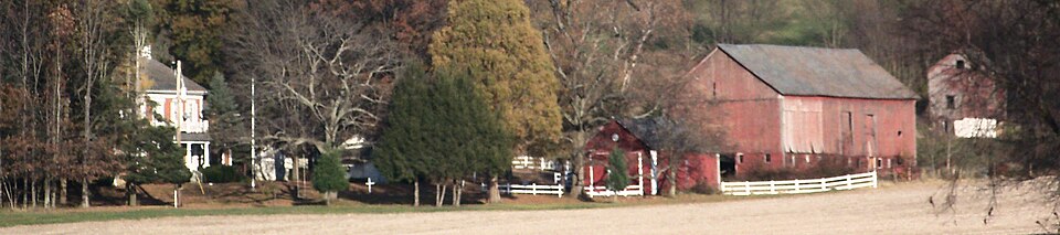
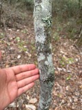
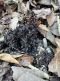
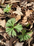
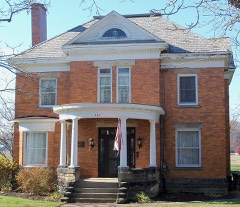
Photograph by Roseohioresident, Public domain. Via
Wikimedia Commons.
Lebol, John, House, Smokehouse and Springhouse
Listed on the National Register of Historic Places in
1982. A historic map-sheet match is not published yet. The record needs a coordinate-quality review before it can be joined to a sheet boundary.
From the record
“The original proprietors, Shorb & Christmas, were merchants of Canton, the former a Catholic, the latter a Presbyterian. The brush was cleared away from the plains at the town site and a tavern was built by John Shorb, and James Baldwin was established here as host.”
The History of Tuscarawas County, Ohio (1884). Machine-read text.
one of 20 National Register listings in Tuscarawas County · listed in 1982 · category: Building · one of 1 National Historic Landmarks in Tuscarawas County.
National Register reference number.82003660- the number the National Park Service assigned this property when it was listed, and the key its nomination file is catalogued under at the National Archives.
The ground it stands on
6,825 words
The chapter on Lawrence Township in The History of Tuscarawas County, Ohio, published 1884 names Bolivar. This is what it says, exactly as the scans read.
THE border- land between Tuscarawas and Stark Counties, in and about Lawrence Township, abounds in interesting and noted historic sites. Post's cabin, built in 1761, and occupied the following year by him and Heckewelder, stood in Bethlehem Township, Stark County, about four rods from the Tuscarawas River, and a few rods east of its southern bond. Calhoon's trading post was located almost a mile further east, on the opposite side of the river, and on the land annexed to Tuscarawas from Stark in 1847. The ancient capital of the Delawares, Tuscarawas, said also to have been previously inhabited by the Senecas and Wyandots, stood on the plains a few rods from the river, and opposite the mouth of Sandy Creek. Fort Laurens, the scene of savage warfare during the Revolution, was situated a mile and a half farther down the stream, about half a mile below Bolivar. Th« old settlers can remember when the embankments at the fort were seven feet in height The Ohio Canal pierced these works and the desecrating plowshare has leveled the most of them to the ground, but small sections may yet bo seen. The township was given its name in honor of this fort, but the orthography has been changed.
The Tuscarawas River enters the township from- Stark County, and soon after takes a northern bend of several miles, then returning it pursues a general southeasterly direction till it leaves the township. A southern dip of Sandy Creek brings it for a short distance into the township. Besides these, the streams of Lawrence are small and unimportant tributaries to the river. The Ohio Canal follows the western banks of the river, and the old Sandy A Beaver Canal extends from Bolivar eastward. The Wheeling A Lake Erie Railroad crosses through the valley of the Tuscarawas. The bottoms, plains and hillsides along the river, says Mr. David lant. "were covered in early times with weeds, nettles, wild rye and grass as high as a man's head. This mass of vegetation was set on fire late in the fall by Indians and early hunters, for the purpose of encircling game, enveloping the surface in a sea of flame and effectual y killing every twig of timber. No timber was thus permitted to grow upon the plains, until after these annual burnings ceased." The land away from the valleys is much more rolling than in some portions of the county, and is susceptible of a high cultivation. Farms in the township are valued at from §50 to §150 per acre. Immense quantities of shell ore have been taken from the hillsides in past years. It has been shipped to Granville, Akron, Massillon. Zoar and in small quantities to Dover. Commencing about 1835, the mining of iron ore has been an important business, but the best banks have been exhausted, and little is now produced. Some coal is shipped, but not to any great extent.
Regional context, not property-specific
evidence. The
federal wildfire occurrence database
lists 17 fires within 5 miles of Lebol, John, House, Smokehouse and Springhouse between
2004 and 2020, burning about 56 acres in total. None started naturally. None was recorded as arson.
Distance is straight-line from the map coordinates, so a fire counted
here may appear on a neighbouring settlement's page as well.
Reported cause
Fires
Debris and open burning
8
Missing data/not specified/undetermined
5
Power generation/transmission/distribution
2
Equipment and vehicle use
2
The most recent of
them, most recent first, with the day each was reported and the service
that recorded it.
Regional context, not property-specific
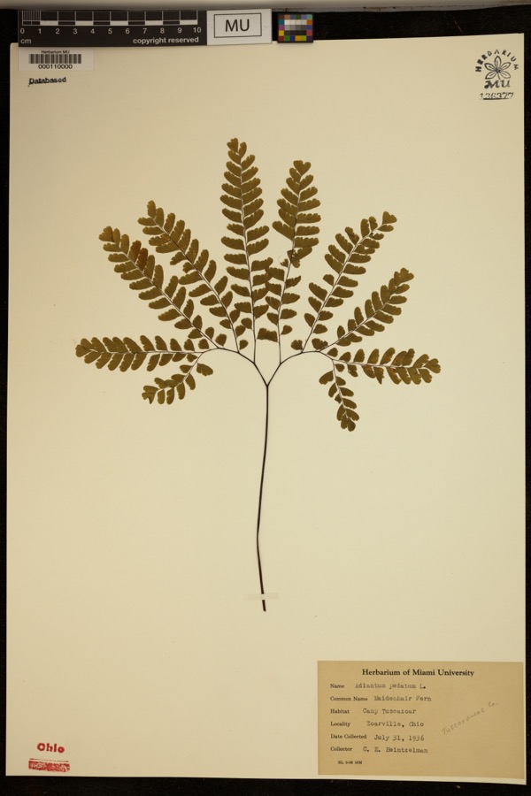
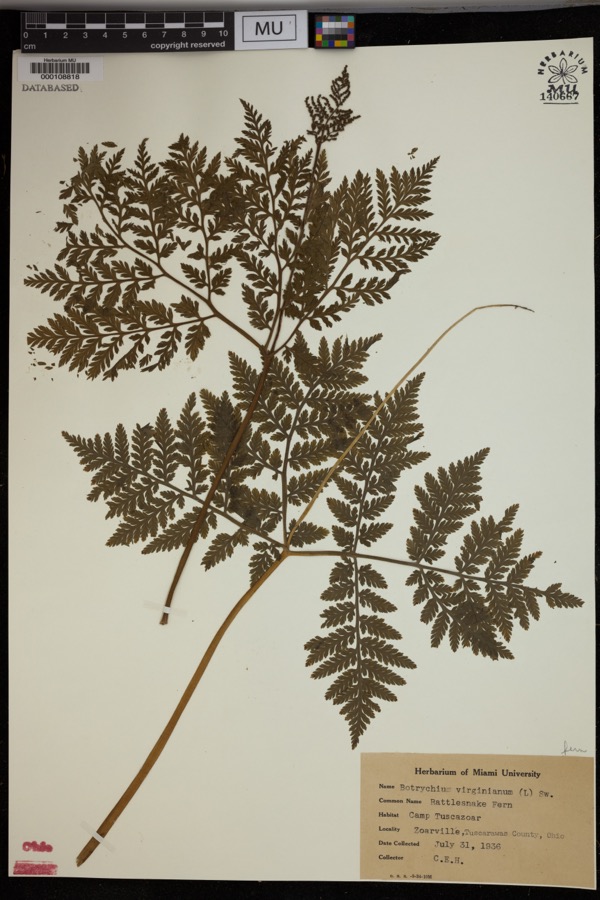
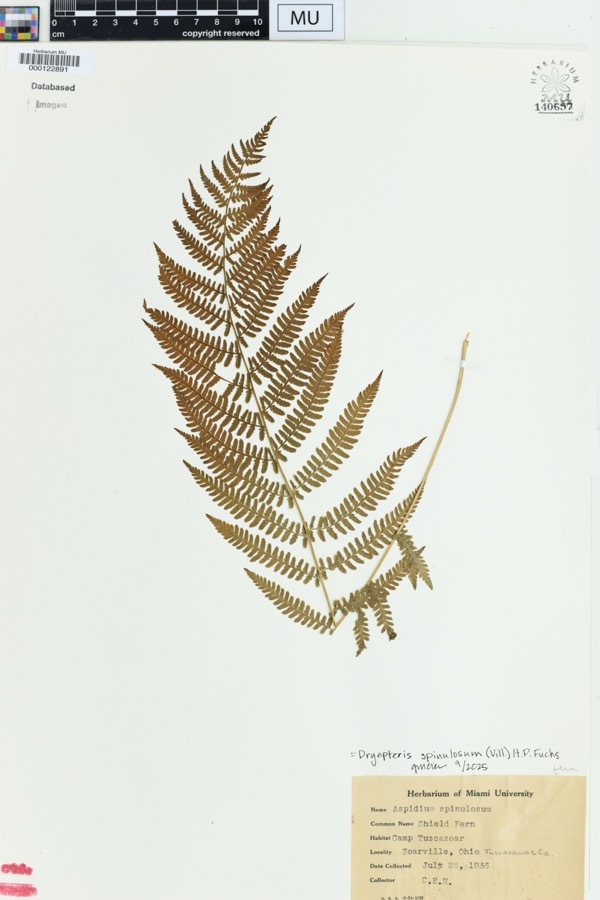
evidence. Museums hold 298 specimens
collected within 10 miles of Lebol, John, House, Smokehouse and Springhouse between 1851 and
1973: 169 Animalia, 117 Plantae, 11 Fungi, 1 Chromista. 12 distinct Species records are shown.
Collected by A W Cusick, A. Cibula, A. Cobula and others. Each is a
physical object with a catalogue
number, and each entry opens the museum's record. This is what was
collected and kept, not a survey of what lives here - nothing can be
concluded from a species being absent.
Regional context, not property-specific
evidence. The federal mineral resources record lists
15 workings within 5 miles of Lebol, John, House, Smokehouse and Springhouse: 10 producers, 3 past producers, 2 plants.
12 still produce. What was taken out: Clay, Coal, Fire Clay (Refractory), Sand and Gravel, Construction. Distance is straight-line from the
map coordinates, so a quarry counted here may appear on a neighbouring
settlement's page as well.
Regional context, not property-specific
evidence. The National Weather Service names
Bolivar, the town this property stands in, in 21 storm reports between 1995 and 2020: 11 thunderstorm wind, 5 hail, 2 flash flood, 2 flood.
No death or injury is recorded in these reports. Each account below is quoted exactly as the forecast office
filed it, from the NOAA Storm Events Database, and each date
opens the federal record of that event.
An NWS storm survey found an EF-1 tornado touched down in Tuscarawas county south of Bolivar and continued into Carroll county near Atwood Lake, before dissipating. EF-0 damage was found along SR 212 south of Bolivar where numerous large limbs were snapped and trees uprooted northwest of Zoar. EF-0 damage became more significant as the circulation descended the lee side of a hill west of Mineral City, where a broad swath of snapped trees was observed. EF-1 structural damage was noted in Mineral City where the roof of the fire house was lifted and cinder block walls collapsed. Several homes lost shingles, and windows were blown out on northwest facing walls. Thereafter damage was confined primarily to trees before the tornado dissipated. Maximum winds Were estimated to be from 90 to 100 MPH, with a path length near 14 miles. The maximum path width was near 300 yards. |See Storm Data for Carroll county, Ohio for the remainder of this tornado path.
A roof was blown off of a two-story home at the intersection of Bolivar Street and Ladyne Avenue. The roof was blown into a neighbor's yard. Damage was done to two homes on the opposite side of the street as well.
No historic map-sheet match is published
for this property yet. That does not mean no map exists. This record needs
a coordinate-quality review before it can be joined to a sheet boundary.
Browse the county's mapped places while that work is
pending.
From the nomination file
1,654 words on record
When this property was proposed for the
National Register, someone wrote the case for it: what the building is,
and why it matters. That document is a federal record in the public domain.
It is quoted below word for word, never summarised. The text was read off the scanned case file by machine, so the
occasional stray character is the recogniser's and the 1970s
typewriter's.
Description of the property
the night throughout the early years. nearby Zoar quarries, and double-hung 9/6 windows in the main section. shingled cross gable mounts the center of the front elevation. construction and were therefore not included in the nominated area. by German farmer-craftsmen.Of locally fired brick laid up in common and Flemish bond, hipped roof of the east extension are of imbricated slate.A 1904-built textured- featured hollowed walnut piping which can still be seen at the site. _ deteriorated - good cross-and-open-Bible molded doors.The easterly extension once figured as the summer across the facade's three central bays.The gabled roof of the main section and the The smokehouse and springhouse sit slightly to the east and south of the residence.
- prehistoric _ archeology-historic _ science - agriculture _ sculpture _ education _ military _social/ .music _theater - politics/government - transportation X other (specify) ethnic settlement Specific dates 1857-1859 Statement of
Statement of significance
(in one paragraph) The John Lebold Homestead is a significant example of the type of dwelling built by approach to new world opportunities. The homestead was built by John Lebold, the fourth son and seventh child of Conrad Lebold, a native of Wurtemburg, Germany, who immigrated to Tuscarawas County and Zoar in 1830 with his wife, Hedwig, and eight of their children. After working for a short time as a cooper in the Village of Zoar, Conrad had saved Machan land, once part of a 4,000-acre tract of military land bought in 1800 and and probably.
in a frame replacement, the many children of Conrad grew up, married, scattered, and prospered until, by the second generation, the two Lebold sons who remained in the valley, Fred and John, had acquired additional adjacent prime bottom Like the Germans from Zoar, the John Lebold family was industrious and loyal. Several subdivision residential development that has been a major, more recent source of 1400-1499 1500-1599 commerce 1700-1799 communications economics Period humanitarian invention industry Canal. engineering 1900- literature Valley. law the finest expression of second-generation German built dwellings in the Tuscarawas 8.
Quoted from the National Register nomination
for reference 82003660, 9 pages, held by the National Archives in Record
Group 79. See the
catalogue record.
Listed places nearby
3 within 8 miles
Other National Register properties close
enough to walk or drive between, ordered by distance from this one. Both
positions come from the same geocoding pass that matched these properties
to their map sheets.
Listing record. National Park Service National Register of Historic Places, listed-properties dataset, current to 2026-05-22.
Map join. Address geocoded through the United States Census geocoder, then tested against the published boundary of every sheet in the USGS Historical Topographic Map Collection.
How this page is made. Listing fields come from federal records; map-sheet coverage is a labelled coordinate-to-boundary calculation, not a source-field claim.
Wildfire. Short, Karen C. 2022. Spatial wildfire occurrence data for the United States, 1992-2020 [FPA_FOD_20221014]. 6th Edition. Fort Collins, CO: Forest Service Research Data Archive. https://doi.org/10.2737/RDS-2013-0009.6 Collected with United States Government funding and usable without additional permissions or fees.
Specimens. Global Biodiversity Information Facility (GBIF), https://www.gbif.org/. Only records licensed CC0 or CC BY are used. Records licensed CC BY-NC are excluded because this site carries advertising. Images are checked individually and any whose licence is non-commercial, no-derivatives or unreadable is refused.
Mines and quarries. USGS Mineral Resources Data System (MRDS) https://mrdata.usgs.gov/mrds/ A work of the United States government, no copyright under 17 U.S.C. 105.
Storms. NOAA National Centers for Environmental Information, Storm Events Database https://www.ncei.noaa.gov/stormevents/ A work of the United States government, no copyright under 17 U.S.C. 105. Narratives are quoted verbatim from the National Weather Service report and are not edited or summarised.
 Block
Block