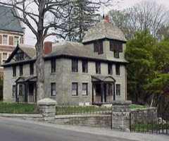
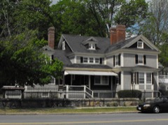
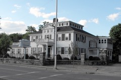
Photograph by The original uploader was EraserGirl at English Wikipedia. ( Original text: EraserGirl ), CC BY 2.0. Via
Wikimedia Commons.
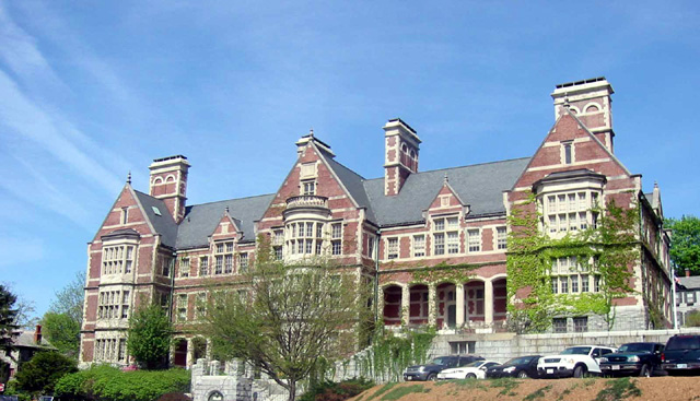
Searles High School
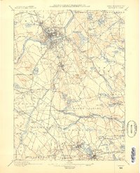
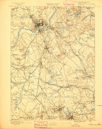
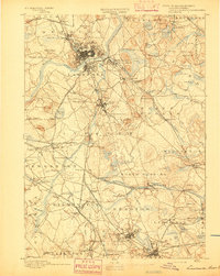
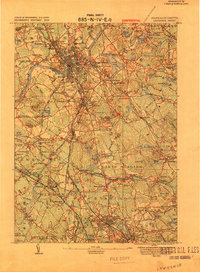
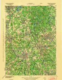
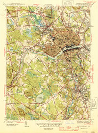
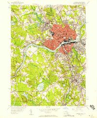
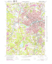
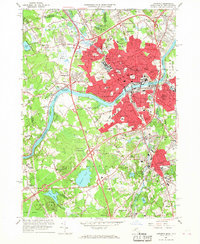
Listed on the National Register of Historic Places in 1984. 16 historic topographic surveys show this location, the earliest from 1886.
From the record
“Searles High School, now Methuen City Hall, is a historic former school building at 41 Pleasant Street in Methuen, Massachusetts, and an excellent example of English Renaissance Revival architecture. It was designed by Henry Vaughan, a favorite of wealthy industrialist Edward Searles, who funded construction of the building in 1904.”
Wikipedia article Searles High School, CC BY-SA 4.0.
One of 480 National Register listings published here for Essex County · listed in 1984 · category: Building.
National Register reference number.84002431- the number the National Park Service assigned this property when it was listed, and the key its nomination file is catalogued under at the National Archives.
Before the incorporation of the City of Lawrence, it was a section of land on the north bank of the Merrimack River, about nine miles long and three miles wide, following the curves of the river. The north part of the City of Lawrence was taken out of Methuen, on the side next the river, near the middle of the town, thus leaving the two ends three miles wide, and the middle of the town little more than a mile at its narrowest part.
The towns surrounding Methuen are the City of Lawrence and the town of Andover on the South, Dracut and Salem, N. H., on the West, Salem, N. H., and Haverhill, on the North and Haverhill and Bradford on the East. The Spicket River, a narrow and crooked stream, flows from Island Pond, in Derry, N. H., through Methuen, into Lawrence, and empties into the Merrimack in the lower part of the City. The village of Methuen is situated upon both sides of the Spicket, between Lawrence and the New Hampshire line, thus dividing the farming portions of the town into two not unequal sections. The surface of the town is uneven, somewhat Iiilly and picturesque, though not ledgy and abrupt. The soil in the main is strong, and good for ordinary agriculture, but like most New England land, more or less rocky, requiring much labor to insure agricultural success, but capable of producing excellent crops under judicious management.
Regional context, not property-specific
evidence. The
federal wildfire occurrence database
lists 85 fires within 5 miles of Searles High School
between 1992 and 2020, burning about 49 acres in total. 2 started naturally. 10 were recorded as arson.
Distance is straight-line from the map coordinates, so a fire counted
here may appear on a neighbouring settlement's page as well.
Reported cause
Fires
Missing data/not specified/undetermined
26
Smoking
14
Arson/incendiarism
10
Misuse of fire by a minor
9
Recreation and ceremony
7
Debris and open burning
5
Equipment and vehicle use
5
Power generation/transmission/distribution
4
Railroad operations and maintenance
3
Natural
2
The most recent of
them, most recent first, with the day each was reported and the service
that recorded it.
Regional context, not property-specific
evidence. Museums hold 1,034 specimens
collected within 10 miles of Searles High School between 1816 and 1975: 569 Plantae, 348 Animalia, 106 Fungi, 4 Chromista, 4 Protozoa, 3 Unrecorded.
12 distinct Species records are shown.
Collected by A Brown, A S Gaunt, A. C. Mathieson and others. Each is a
physical object with a catalogue
number, and each entry opens the museum's record. This is what was
collected and kept, not a survey of what lives here - nothing can be
concluded from a species being absent.
Regional context, not property-specific
evidence. The federal mineral resources record lists
5 workings within 5 miles of Searles High School: 3 past producers, 1 unknown, 1 producer.
1 still produces. What was taken out: Sand and Gravel, Construction, Nickel, Gold, Silver, Copper. Distance is straight-line from the
map coordinates, so a quarry counted here may appear on a neighbouring
settlement's page as well.
Regional context, not property-specific
evidence. The National Weather Service names
Methuen, the town this property stands in, in 27 storm reports between 1998 and 2024: 15 thunderstorm wind, 5 flash flood, 3 lightning, 3 hail.
No death or injury is recorded in these reports. Each account below is quoted exactly as the forecast office
filed it, from the NOAA Storm Events Database, and each date
opens the federal record of that event.
Two to three inches of rain fell in only a couple of hours and produced significant urban flash flooding. In Methuen, Riverside Drive by the boat ramp was closed due to flooding and several cars were stranded. Route 213 at I-495 was flooded and cars were stuck in the roadway. In Haverhill, the area near Laurel and Railroad Avenues was flooded with four feet of water and a car was stranded in flood waters. The intersection of Primrose and Dexter Avenues was impassable. In Peabody, several roads were impassable due to flooding which included Allens Lane, Walnut Street, Prospect Street near the North Shore Mall, Foster Street, Tremont Street, and Margin Street. In Danvers, Wildwood Road was flooded. In Lynn, a portion of Boston Street was flooded.
A tree on North Lowell Street in Methuen was downed by thunderstorm winds. Also, a large tree limb was downed onto Curtis Street near the intersection with Jackson Street.
United States Geological Survey topographic
sheets whose coverage includes this point. Matched by taking the coordinate the National Park Service records for this property, then
testing that coordinate against the published boundary of every sheet.
When this property was proposed for the
National Register, someone wrote the case for it: what the building is,
and why it matters. That document is a federal record in the public domain.
It is reproduced in full on its own page, word for word and never summarised. The text was read off the scanned case file by machine, so the
occasional stray character is the recogniser's and the 1970s
typewriter's.
Quoted from the National Register nomination
for reference 84002431, 9 pages, held by the National Archives in Record
Group 79. See the
catalogue record.
Listed places nearby
6 within 8 miles
Other National Register properties close
enough to walk or drive between, ordered by distance from this one. Both
positions come from the same geocoding pass that matched these properties
to their map sheets.
Listing record. National Park Service National Register of Historic Places, listed-properties dataset, current to 2026-05-22.
Map join. Address geocoded through the United States Census geocoder, then tested against the published boundary of every sheet in the USGS Historical Topographic Map Collection.
How this page is made. Listing fields come from federal records; map-sheet coverage is a labelled coordinate-to-boundary calculation, not a source-field claim.
Wildfire. Short, Karen C. 2022. Spatial wildfire occurrence data for the United States, 1992-2020 [FPA_FOD_20221014]. 6th Edition. Fort Collins, CO: Forest Service Research Data Archive. https://doi.org/10.2737/RDS-2013-0009.6 Collected with United States Government funding and usable without additional permissions or fees.
Specimens. Global Biodiversity Information Facility (GBIF), https://www.gbif.org/. Only records licensed CC0 or CC BY are used. Records licensed CC BY-NC are excluded because this site carries advertising. Images are checked individually and any whose licence is non-commercial, no-derivatives or unreadable is refused.
Mines and quarries. USGS Mineral Resources Data System (MRDS) https://mrdata.usgs.gov/mrds/ A work of the United States government, no copyright under 17 U.S.C. 105.
Storms. NOAA National Centers for Environmental Information, Storm Events Database https://www.ncei.noaa.gov/stormevents/ A work of the United States government, no copyright under 17 U.S.C. 105. Narratives are quoted verbatim from the National Weather Service report and are not edited or summarised.
 Block