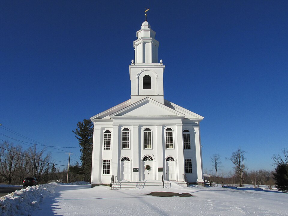
Built in 1822 in the Federal architecture. Listed on the National Register of Historic Places in
1985. A historic map-sheet match is not published yet. The record needs a coordinate-quality review before it can be joined to a sheet boundary.
From the record
“The First Congregational Church of Blandford is a historic church building at 4 North Street in the center of Blandford, Massachusetts. Built in 1822, it is a prominent example of a Federal-style church, built by a leading regional proponent of the style, builder Isaac Damon.”
Wikipedia article First Congregational Church of Blandford, CC BY-SA 4.0.
one of 123 National Register listings in Hampden County · listed in 1985 · category: Building · built in 1822, Federal architecture, by Isaac Damon.
National Register reference number.85003371- the number the National Park Service assigned this property when it was listed, and the key its nomination file is catalogued under at the National Archives.
Fires near this property
8 since 2015
Regional context, not property-specific
evidence. The
federal wildfire occurrence database
lists 8 fires within 5 miles of First Congregational Church of Blandford between
2015 and 2020, burning about 2 acres in total. 1 started naturally. None was recorded as arson.
Distance is straight-line from the map coordinates, so a fire counted
here may appear on a neighbouring settlement's page as well.
Reported cause
Fires
Missing data/not specified/undetermined
2
Equipment and vehicle use
2
Recreation and ceremony
1
Smoking
1
Natural
1
Debris and open burning
1
The most recent of
them, most recent first, with the day each was reported and the service
that recorded it.
Regional context, not property-specific
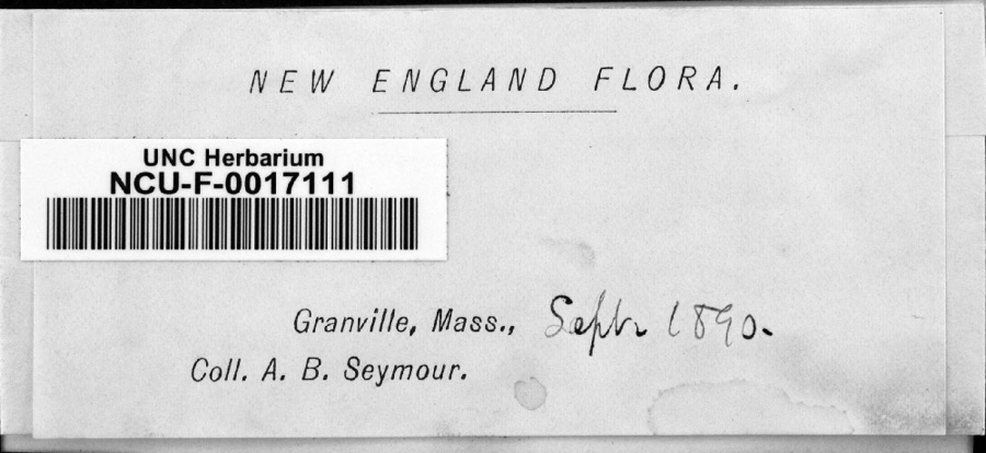
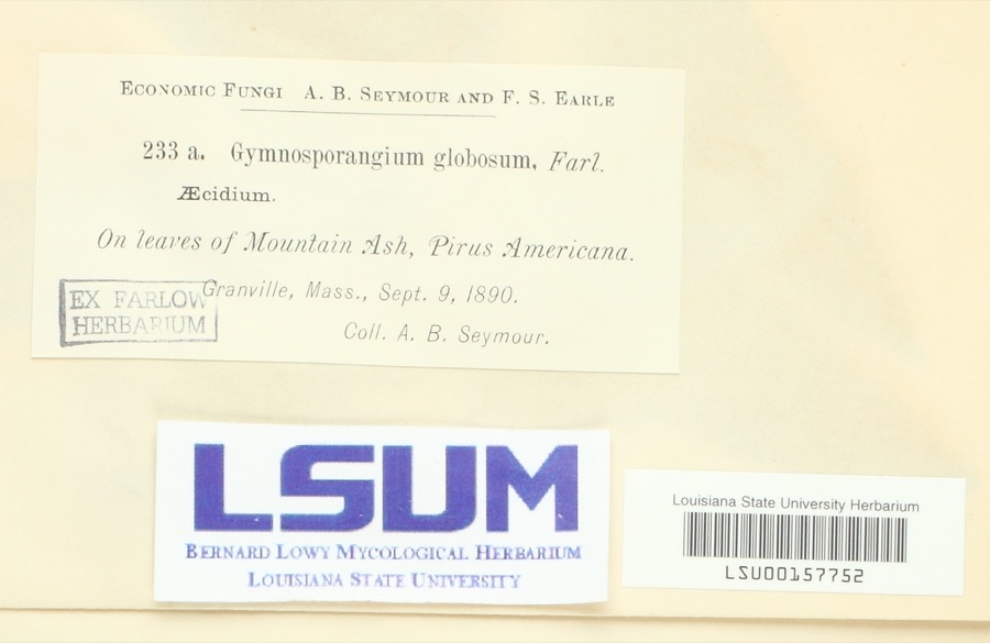
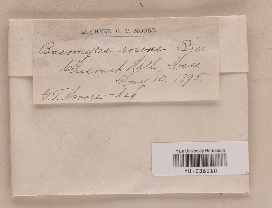
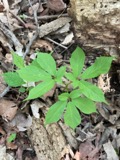
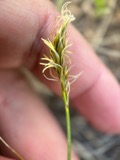
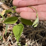
evidence. Museums hold 1,990 specimens
collected within 10 miles of First Congregational Church of Blandford between 1822 and
1975: 1,157 Fungi, 502 Plantae, 282 Animalia, 36 Chromista, 13 Unrecorded. 12 distinct Species records are shown.
Collected by A. B. Seymour, A. B. Seymour & A. C. Seymour, A. B. Seymour & Clara E. Cummings and others. Each is a
physical object with a catalogue
number, and each entry opens the museum's record. This is what was
collected and kept, not a survey of what lives here - nothing can be
concluded from a species being absent.
Regional context, not property-specific
evidence. The federal mineral resources record lists
16 workings within 5 miles of First Congregational Church of Blandford: 7 past producers, 6 producers, 3 occurrences.
6 still produce. What was taken out: Talc-Soapstone, Mica, Feldspar, Silica. Distance is straight-line from the
map coordinates, so a quarry counted here may appear on a neighbouring
settlement's page as well.
Regional context, not property-specific
evidence. The National Weather Service names
Blandford, the town this property stands in, in 32 storm reports between 1997 and 2025: 16 thunderstorm wind, 15 hail, 1 lightning.
No death or injury is recorded in these reports. Each account below is quoted exactly as the forecast office
filed it, from the NOAA Storm Events Database, and each date
opens the federal record of that event.
In Blandford, several large limbs were blown down on North Blandford Road and a tree was downed onto wires on Russell Stage Road. A tree and wires were downed on Woronoco Road in Russell. In Huntington, several trees were downed on Bromley Road, a tree was downed across Route 66, and wires were downed on Searle Road. In West Springfield, a tree was downed on Route 20 not far from the Westfield line.
No historic map-sheet match is published
for this property yet. That does not mean no map exists. This record needs
a coordinate-quality review before it can be joined to a sheet boundary.
Browse the county's mapped places while that work is
pending.
From the nomination file
4,452 words on record
When this property was proposed for the
National Register, someone wrote the case for it: what the building is,
and why it matters. That document is a federal record in the public domain.
It is quoted below word for word, never summarised. The text was read off the scanned case file by machine, so the
occasional stray character is the recogniser's and the 1970s
typewriter's.
Description of the property
The First Congregational Church of Blandford is located on North Street, at the top of a hill which overlooks the center of Blandford, Massachusetts, a rural, upland community on the western side of the Connecticut River Valley. The First Congregational Church is a two-story, rectangular structure, five bays wide by five bays long. A three-bay pedimented porch is centered on the main facade. The front-gabled roof is surmounted by a three-stage steeple Tocated close to the front of the building. The church was built in 1822, and renovated in 1866, although it was not substantially altered at that time.
The Blandford Congregational Church sits on a 1.2-acre polygonally-shaped The church is located in the northwestern corner of the lot, close to North Street, with its primary facade facing south toward the town There are no outbuildings associated with the church, and the remainder of the lot is either blacktopped (close to the church on the east and west sides) or open field. To the north of the site is a residence with a square plan and a hip roof, probably built or remodelled during the early 1900s. To the east is Watson Park, a town-owned park that is predominantly_open fields. A stone wall divides the church parcel from Watson Park. To the south of the parcel is also town-owned 1and, which was once the site of a late nineteenth-century brick school that was demolished in 1981.
The site is now an open field. Across the street from the Blandford Congregational Church is the town common, a grassy, open area where the first meetinghouse (begun ca. 1740, completed ca. 1805, probably demolished ca. 1822) was located. Just to the north of the common is the old burial ground.
(in one paragraph) The First Congregational Church in Blandford possesses integrity of location, design, setting, materials, workmanship, feeling and association. The First Congregational Church is a well-preserved Federal-style New England meeting- house. Constructed ca. 1822, it is a distinctive example of the work of Isaac Damon, a prominent Federal-period architect/builder who worked primarily in the Connecticut River Valley. Damon is one of the very few early Massachusetts builder/architects of whom much is known, and his influence on the field of architecture as a profession was major. The church is also state and local level. Upland settlement in the Connecticut River Valley was spurred by numerous land grants made in the 1730s.
The Town of Blandford was originally granted in 1735 to individuals who had formerly held common and undivided house lots in Sheffield, Massachusetts. The six-mile-square private grant was surveyed and divided into lots the next year. Early settlement was primarily by Scots- Irish Presbyterians immigrating from Hopkinton, Massachusetts, who provided the inspiration for the plantation's name of New Glasgow. New Glasgow was incorporated as a town in 1741, and renamed Blandford after the ship that had carried newly-appointed Governor Shirley to Massachusetts. Running through Blandford was the primary native American trail across the Berkshire highlands to the Housatonic Valley. Use of this trail continued by Plantation and Colonial Period settlers.
With the establishment of the town of Blandford, this route, known as the Great Road to Housatonic, was upgraded and called the 0ld Post Road. (The route still remains as Massachusetts Route 23, also called the Otis Stage Road and the Blandford Turnpike). Blandford Center was established on the Great Road in the eastern half of the town. The local transportation routes developed as radial highways from the center along town division lines.
Quoted from the National Register nomination
for reference 85003371, 21 pages, held by the National Archives in Record
Group 79. See the
catalogue record.
Listing record. National Park Service National Register of Historic Places, listed-properties dataset, current to 2026-05-22.
Map join. Address geocoded through the United States Census geocoder, then tested against the published boundary of every sheet in the USGS Historical Topographic Map Collection.
How this page is made. Listing fields come from federal records; map-sheet coverage is a labelled coordinate-to-boundary calculation, not a source-field claim.
Wildfire. Short, Karen C. 2022. Spatial wildfire occurrence data for the United States, 1992-2020 [FPA_FOD_20221014]. 6th Edition. Fort Collins, CO: Forest Service Research Data Archive. https://doi.org/10.2737/RDS-2013-0009.6 Collected with United States Government funding and usable without additional permissions or fees.
Specimens. Global Biodiversity Information Facility (GBIF), https://www.gbif.org/. Only records licensed CC0 or CC BY are used. Records licensed CC BY-NC are excluded because this site carries advertising. Images are checked individually and any whose licence is non-commercial, no-derivatives or unreadable is refused.
Mines and quarries. USGS Mineral Resources Data System (MRDS) https://mrdata.usgs.gov/mrds/ A work of the United States government, no copyright under 17 U.S.C. 105.
Storms. NOAA National Centers for Environmental Information, Storm Events Database https://www.ncei.noaa.gov/stormevents/ A work of the United States government, no copyright under 17 U.S.C. 105. Narratives are quoted verbatim from the National Weather Service report and are not edited or summarised.
 Block
Block