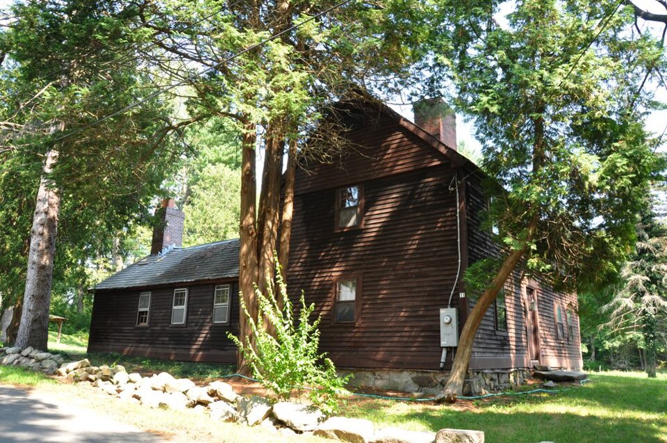
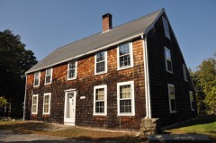
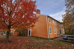
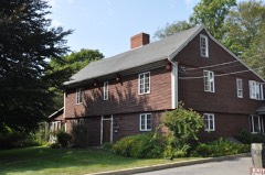
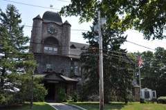
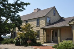
Also known as. First Period Buildings of Eastern Massachusetts TR
City. Gloucester city
Architectural style. American colonial architecture
National Register reference number.90000217- the number the National Park Service assigned this property when it was listed, and the key its nomination file is catalogued under at the National Archives.
Largest stock of Landscape and Marine Views of Cape Ann, including Magnolia, Gloucester, Rockport, and Pigeon Cove. Publisher of " Gloucester Picturesque," containing twenty views for $1.00. A Unique Souvenir for Summer Visitors. Ladies' and Gents' Fine Stationery a Specialty. " Mother Ann " I'ox Paperonly 25 cents per box. Rending Matter of all kinds. Full Seaside Library always on hand. Lawn Tennis and Base Kail Goods. Large stock of Pictures, Water Colors, Etchings, etc. Pictures Framed to Order.
Regional context, not property-specific
evidence. The
federal wildfire occurrence database
lists 30 fires within 5 miles of William Haskell House
between 2015 and 2020, burning about 29 acres in total. None started naturally. 4 were recorded as arson.
Distance is straight-line from the map coordinates, so a fire counted
here may appear on a neighbouring settlement's page as well.
Reported cause
Fires
Debris and open burning
11
Recreation and ceremony
8
Smoking
5
Arson/incendiarism
4
Missing data/not specified/undetermined
1
Misuse of fire by a minor
1
The most recent of
them, most recent first, with the day each was reported and the service
that recorded it.
Regional context, not property-specific
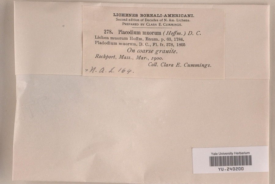
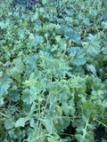
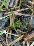
evidence. Museums hold 6,295 specimens
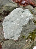
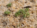
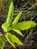
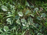
collected within 10 miles of William Haskell House between 1817 and 1975: 2,236 Animalia, 2,054 Plantae, 1,203 Fungi, 348 Chromista, 337 Unrecorded, 95 Protozoa, 22 Bacteria.
12 distinct Species records are shown.
Collected by A H HIGGINSON, A Perlmutter, A. A. Eaton and others. Each is a
physical object with a catalogue
number, and each entry opens the museum's record. This is what was
collected and kept, not a survey of what lives here - nothing can be
concluded from a species being absent.
Regional context, not property-specific
evidence. The federal mineral resources record lists
4 workings within 5 miles of William Haskell House: 3 past producers, 1 producer.
1 still produces. What was taken out: Sand and Gravel, Construction, Stone, Crushed/Broken. Distance is straight-line from the
map coordinates, so a quarry counted here may appear on a neighbouring
settlement's page as well.
Regional context, not property-specific
evidence. The National Weather Service names
Gloucester, the town this property stands in, in 10 storm reports between 1997 and 2020: 6 thunderstorm wind, 2 lightning, 1 heavy rain, 1 flood.
No death or injury is recorded in these reports. Each account below is quoted exactly as the forecast office
filed it, from the NOAA Storm Events Database, and each date
opens the federal record of that event.
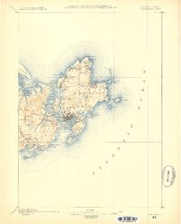
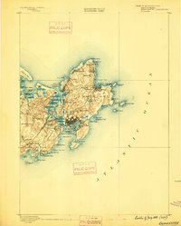
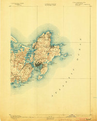
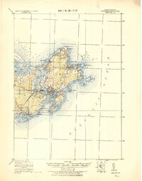
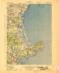
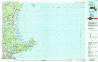
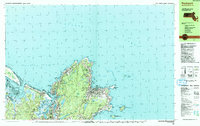
United States Geological Survey topographic
sheets whose coverage includes this point. Matched by taking the coordinate the National Park Service records for this property, then
testing that coordinate against the published boundary of every sheet.
When this property was proposed for the
National Register, someone wrote the case for it: what the building is,
and why it matters. That document is a federal record in the public domain.
It is reproduced in full on its own page, word for word and never summarised. The text was read off the scanned case file by machine, so the
occasional stray character is the recogniser's and the 1970s
typewriter's.
Quoted from the National Register nomination
for reference 90000217, 15 pages, held by the National Archives in Record
Group 79. See the
catalogue record.
Listed places nearby
6 within 8 miles
Other National Register properties close
enough to walk or drive between, ordered by distance from this one. Both
positions come from the same geocoding pass that matched these properties
to their map sheets.
Listing record. National Park Service National Register of Historic Places, listed-properties dataset, current to 2026-05-22.
Map join. Address geocoded through the United States Census geocoder, then tested against the published boundary of every sheet in the USGS Historical Topographic Map Collection.
How this page is made. Listing fields come from federal records; map-sheet coverage is a labelled coordinate-to-boundary calculation, not a source-field claim.
Wildfire. Short, Karen C. 2022. Spatial wildfire occurrence data for the United States, 1992-2020 [FPA_FOD_20221014]. 6th Edition. Fort Collins, CO: Forest Service Research Data Archive. https://doi.org/10.2737/RDS-2013-0009.6 Collected with United States Government funding and usable without additional permissions or fees.
Specimens. Global Biodiversity Information Facility (GBIF), https://www.gbif.org/. Only records licensed CC0 or CC BY are used. Records licensed CC BY-NC are excluded because this site carries advertising. Images are checked individually and any whose licence is non-commercial, no-derivatives or unreadable is refused.
Mines and quarries. USGS Mineral Resources Data System (MRDS) https://mrdata.usgs.gov/mrds/ A work of the United States government, no copyright under 17 U.S.C. 105.
Storms. NOAA National Centers for Environmental Information, Storm Events Database https://www.ncei.noaa.gov/stormevents/ A work of the United States government, no copyright under 17 U.S.C. 105. Narratives are quoted verbatim from the National Weather Service report and are not edited or summarised.
 Block