Block
BlockFrom the record
One of 426 National Register listings published here for Cuyahoga County · listed in 1995 · category: District.
Sources: the case file at the National Archives · the National Register database, National Park Service
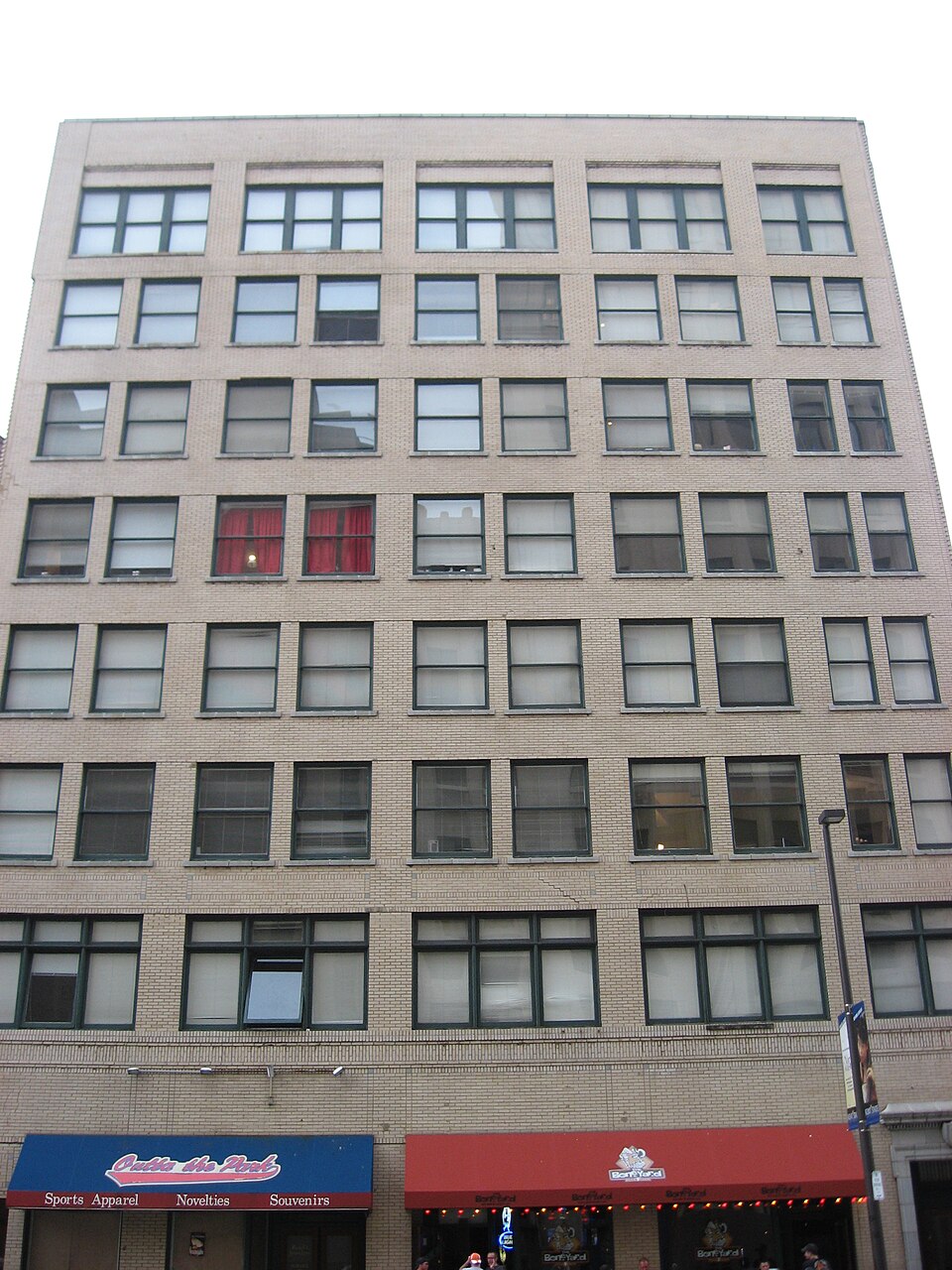
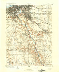
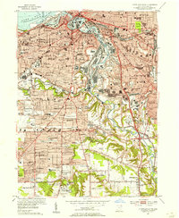
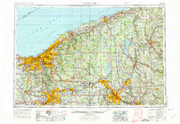
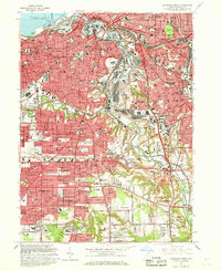
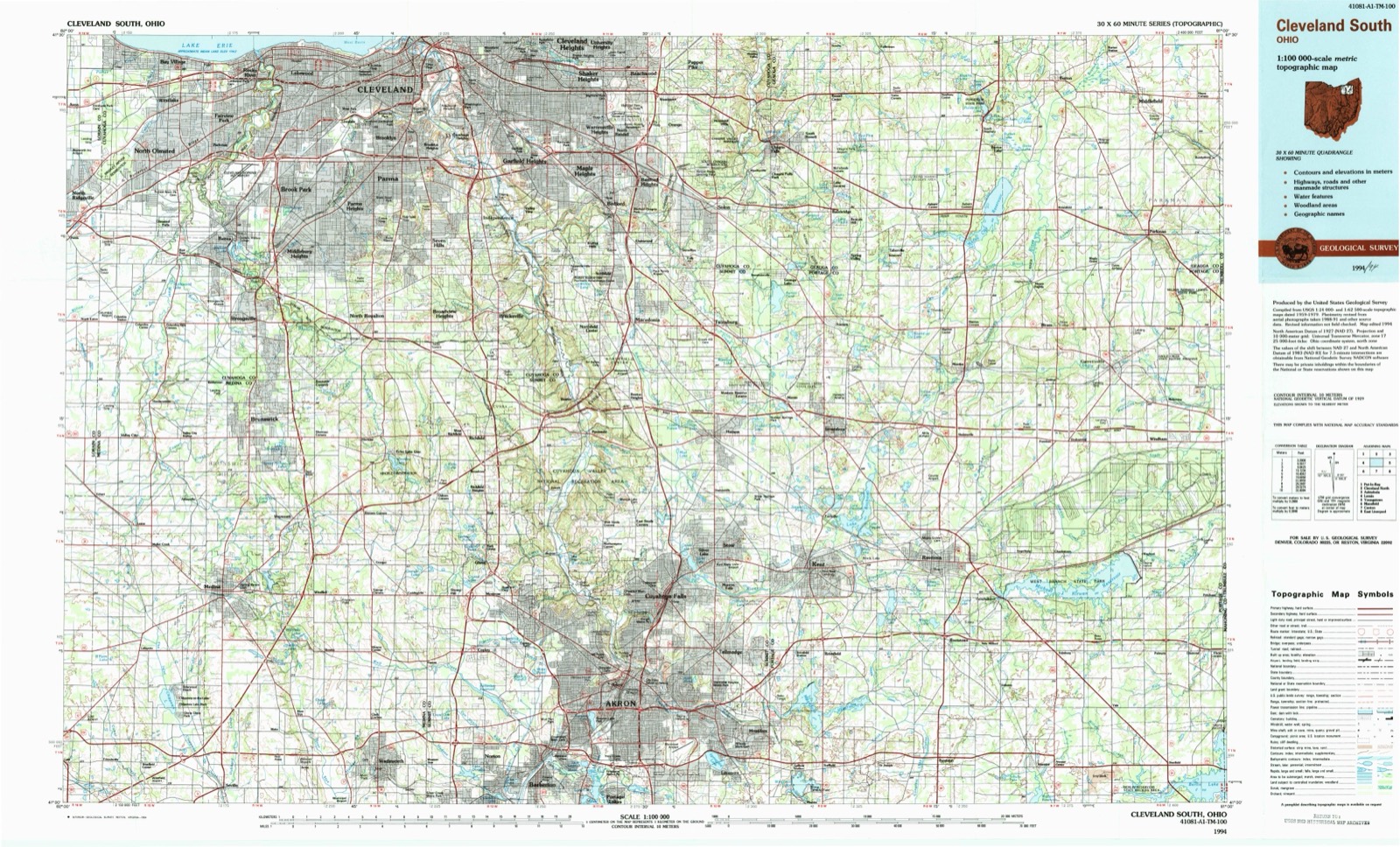
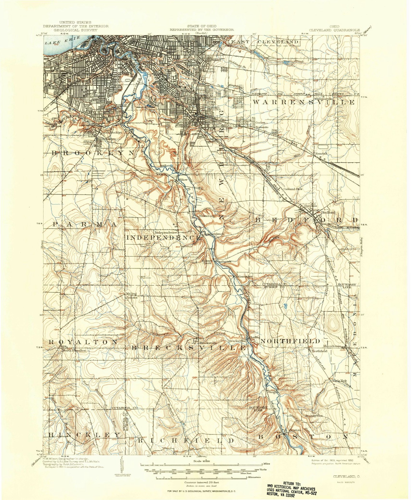
Listed on the National Register of Historic Places in 1995. 8 historic topographic surveys show this location, the earliest from 1903.
One of 426 National Register listings published here for Cuyahoga County · listed in 1995 · category: District.
Sources: the case file at the National Archives · the National Register database, National Park Service
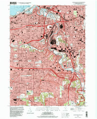
The ground this property stands on, surveyed 91 years apart. Drag the handle to wipe between them. Both sheets are United States Geological Survey originals; neither has been altered.
Regional context, not property-specific evidence. The federal mineral resources record lists 19 workings within 5 miles of Lower Prospect-Huron Historic District: 10 unknowns, 6 producers, 2 past producers, 1 plant. 7 still produce. What was taken out: Iron, Zirconium, Silica, Halite. Distance is straight-line from the map coordinates, so a quarry counted here may appear on a neighbouring settlement's page as well.
| Where | Site | Commodity | Status | Recorded |
|---|---|---|---|---|
| (Facility) Hanna Nickel Smelter/ Cleveland, Oh | Nickel | Plant | ||
| Brush Wellman/ Cleveland, Ohio | Beryllium | Producer | ||
| Cleveland Mine | Halite | Past Producer | Halite | |
| Cleveland Mine | Salt | Producer | ||
| Cuyahoga Lime Company Plant | Calcium | Producer | ||
| Dock Number 1, Whiskey Island Mill | Sand and Gravel, Construction | Past Producer | Sedimentary | |
| Great Lakes-St Lawrence/ Cleveland | Fluorine-Fluorite | Producer | ||
| Mcgean Chemical/ Cleveland, Ohio | Antimony | Unknown | ||
| Metallurgical Inc/ Cleveland, Ohio | Iron, Aluminum | Unknown | ||
| N. L. Industries | Lead | Unknown |
16 papers published in this town, digitised by the Library of Congress and free to read. Every page is searchable, so a name or a street can be looked for directly in what the town printed about itself at the time.
| Newspaper | Published |
|---|---|
| The Cleveland Leader | 1865 |
| Cleveland Tri-Weekly Leader | 1854 to 1885 |
| Siebenbürgisch-Amerikanisches Volksblatt | 1917 to 1971 |
| Echo : Wochenblatt Der Vereinigten Deutschen Socialisten Clevelands | 1911 to 1920 |
| The Cleveland Gazette | 1883 to 1892 |
| The Aliened American | 1853 to 18?? |
| Jednoc Polek = Unity of Polish Women | 1923 to Current |
| Enakopravnost | 1918 to 1957 |
| Dirva = Field | 1915 to Current |
| America | 1905 to Current |
| Svt = World | 1911 to 1939 |
| Cleveland Daily Leader | 1865 to 1873 |
| Cleveland Plain Dealer | 1885 to 1961 |
| Cleveland Morning Leader | 1854 to 1865 |
| The Toiler | 1919 to 1922 |
| L'araldo = the Herald | 1938 to 1959 |
United States Geological Survey topographic sheets whose coverage includes this point. Matched by taking the middle of the area the National Park Service maps for this listing, then testing that coordinate against the published boundary of every sheet.
Other National Register properties close enough to walk or drive between, ordered by distance from this one. Both positions come from the same geocoding pass that matched these properties to their map sheets.
| Photograph | Property | Distance | Listed |
|---|---|---|---|
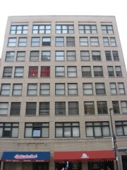 | Lower Prospect-Huron Historic District (Boundary Increase) | under 500 feet | 2005 |
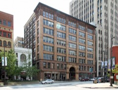 | Caxton Building | under 500 feet | 1973 |
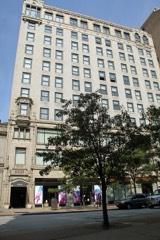 | Medical Centre Building | under 500 feet | 1984 |
 | Cleveland Trust Company | under 500 feet | 1973 |
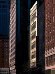 | Euclid Avenue Historic District | 0.1 miles | 2002 |
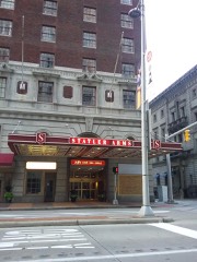 | Hotel Statler | 0.1 miles | 1998 |
| National Archives record | The nomination case file for reference 94000640 in Record Group 79. |
| Cuyahoga County | All 426 listed properties in this county. |