 Block
From the record
43 National Register listings published here, 1 of them a National Historic Landmark.
Sources: the National Register database, National Park Service
88 topographic sheets and 11 fire insurance atlases across 2 places.
43 National Register listings published here, 1 of them a National Historic Landmark.
Sources: the National Register database, National Park Service
Taken for the Office of War Information and the Farm Security Administration, who photographed the country between 1935 and 1944. Works of United States government photographers, with no known restriction on use. Each opens its catalogue record.
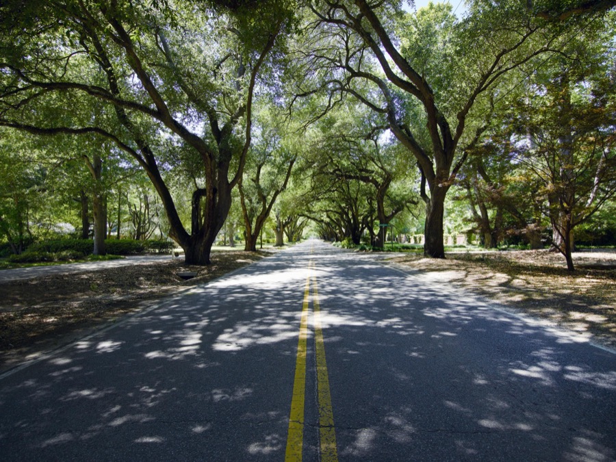
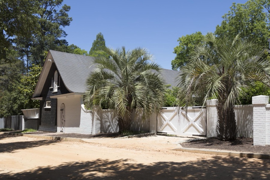



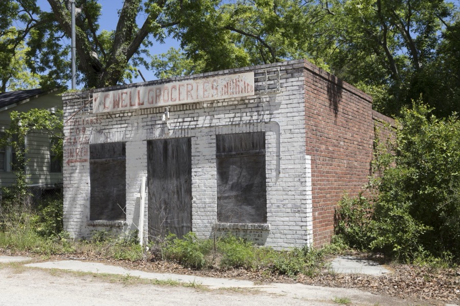



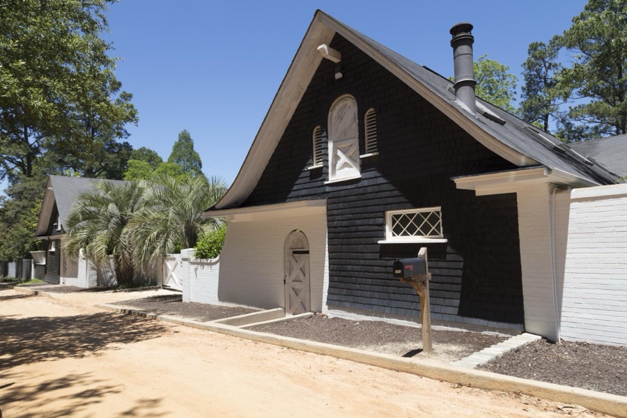
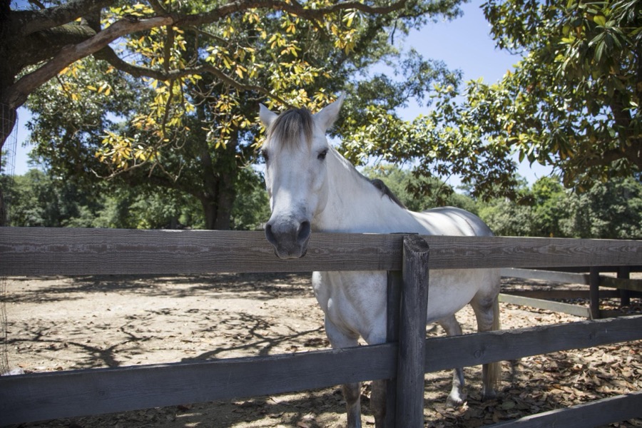
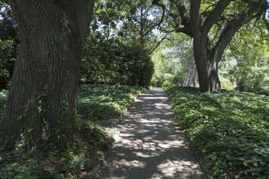



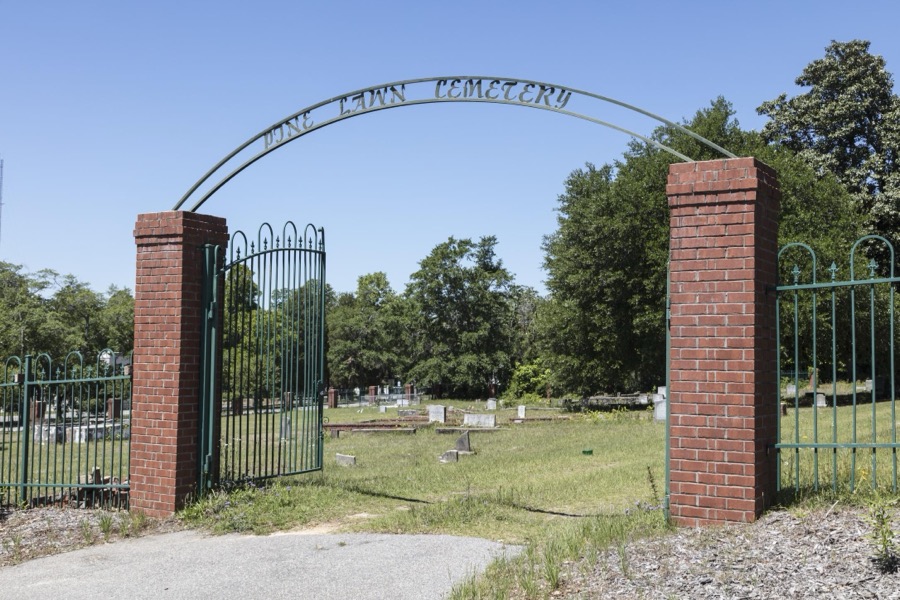
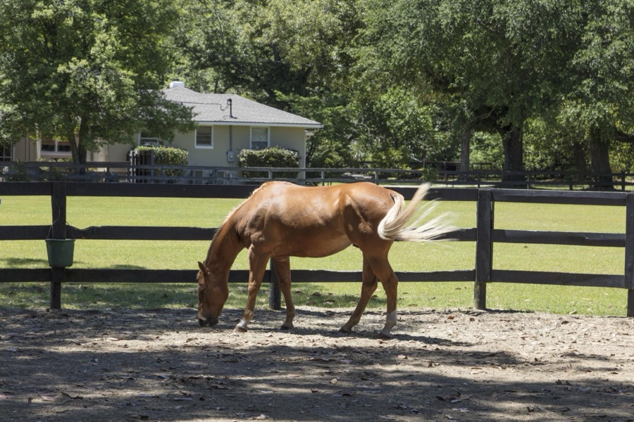
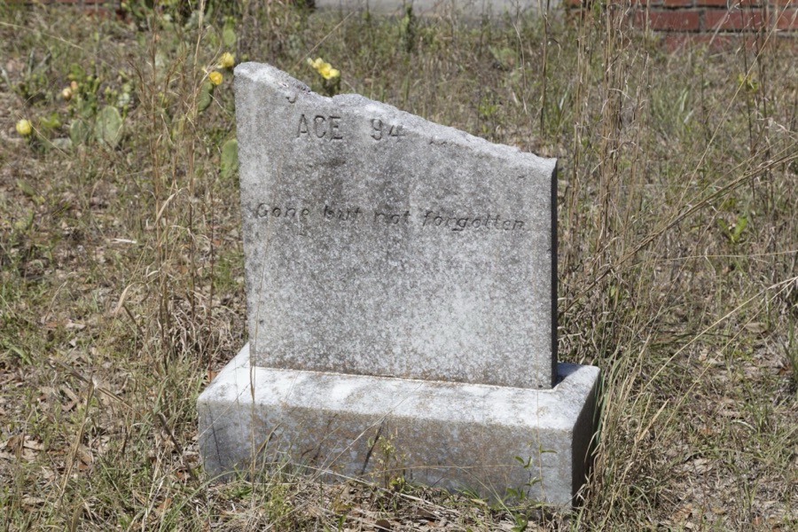
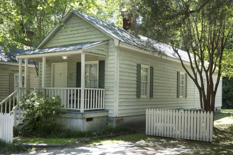
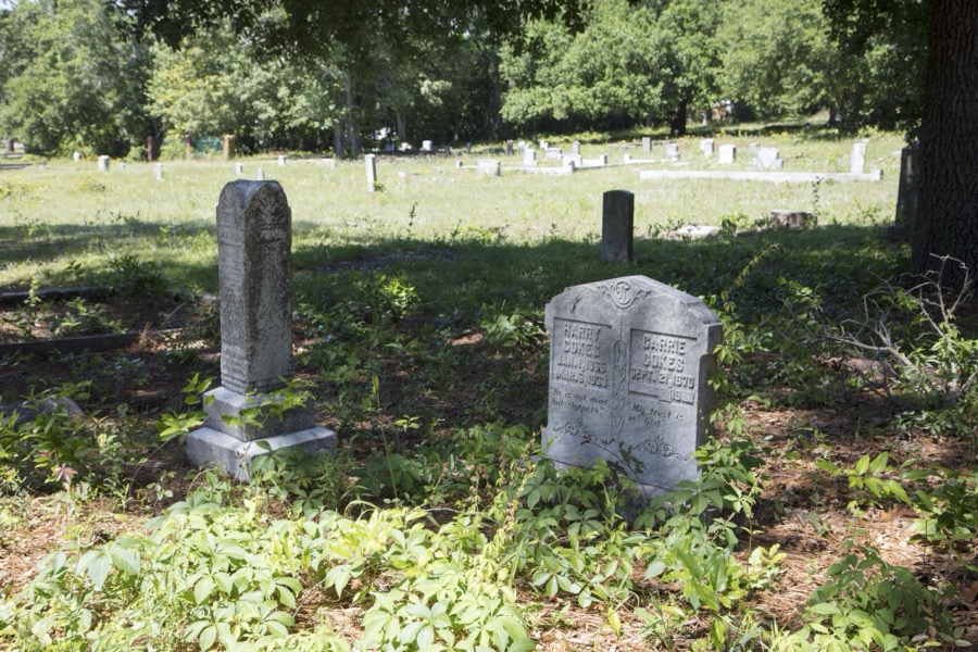
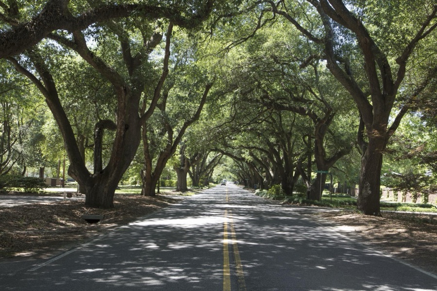
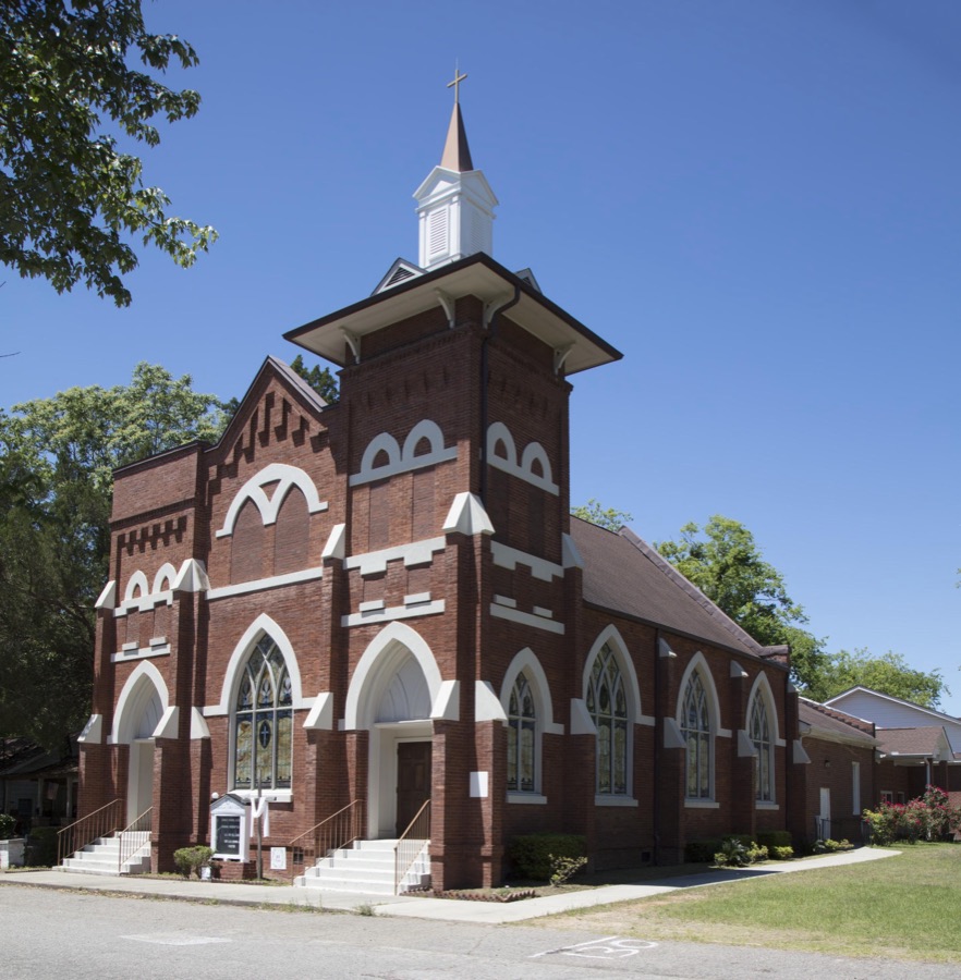
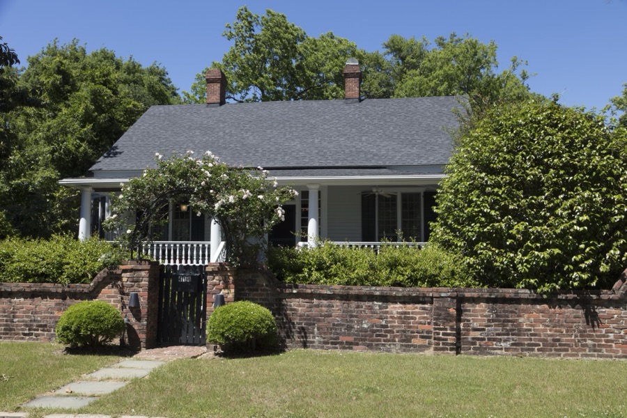


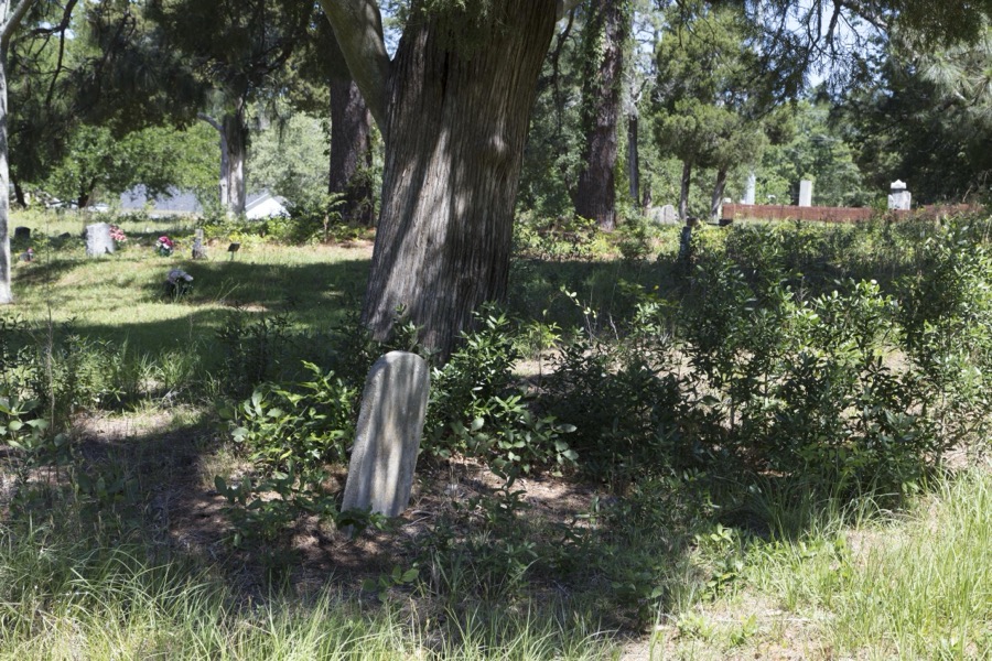
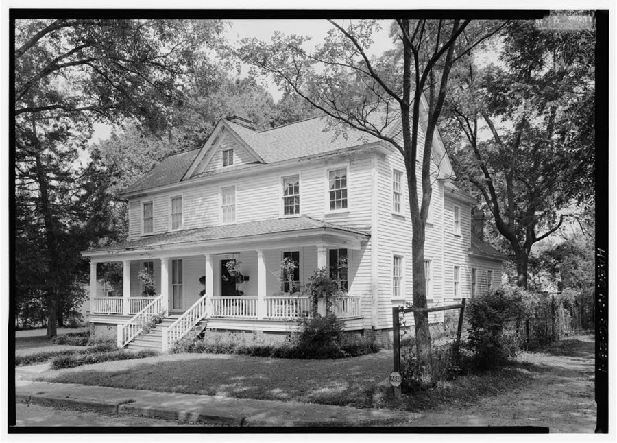
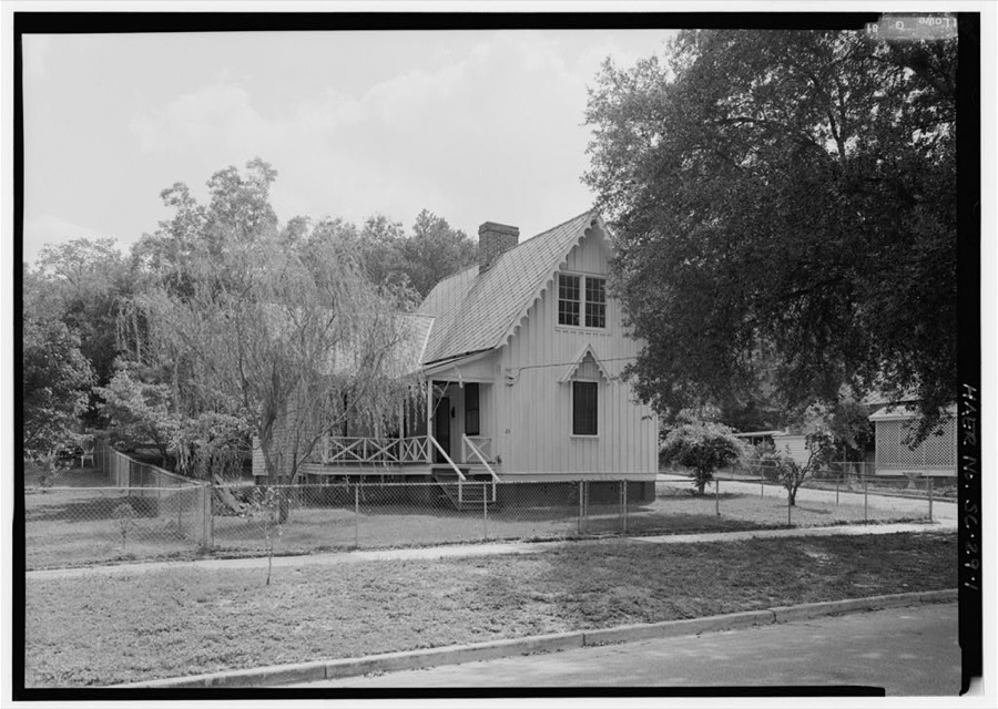
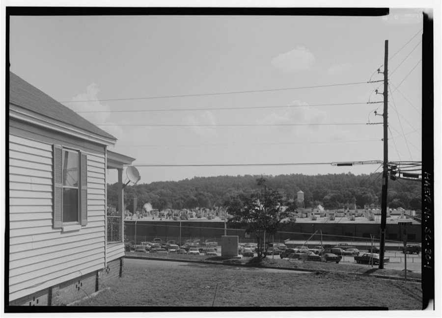
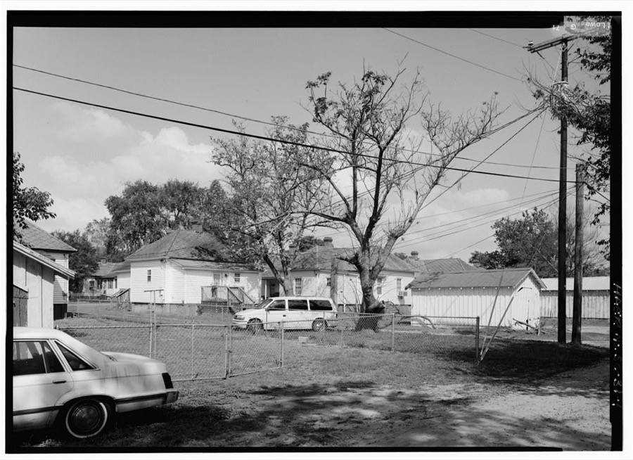
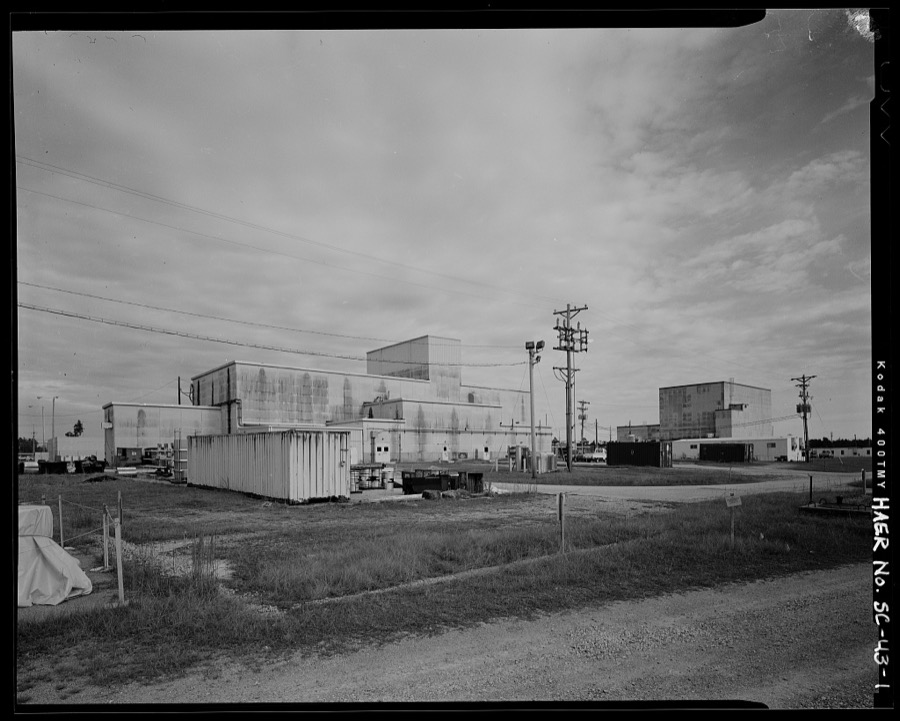
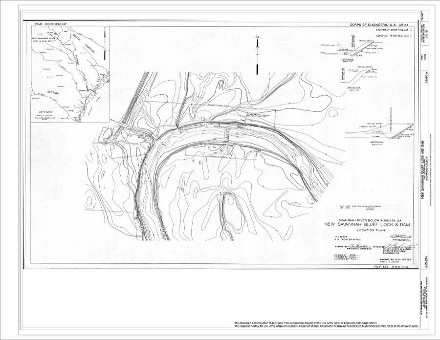
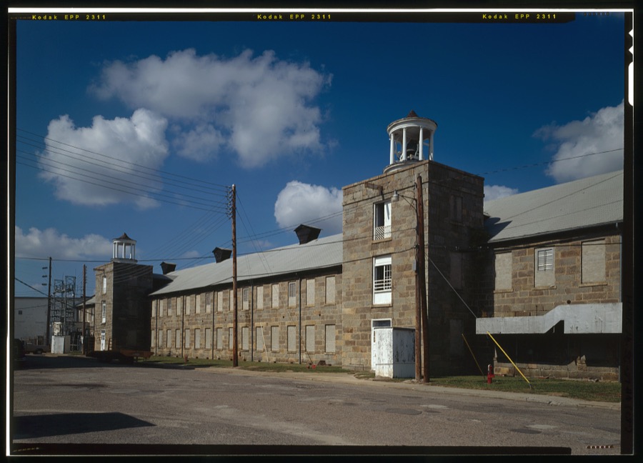
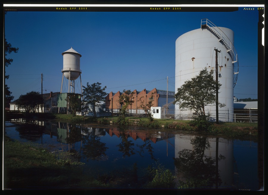
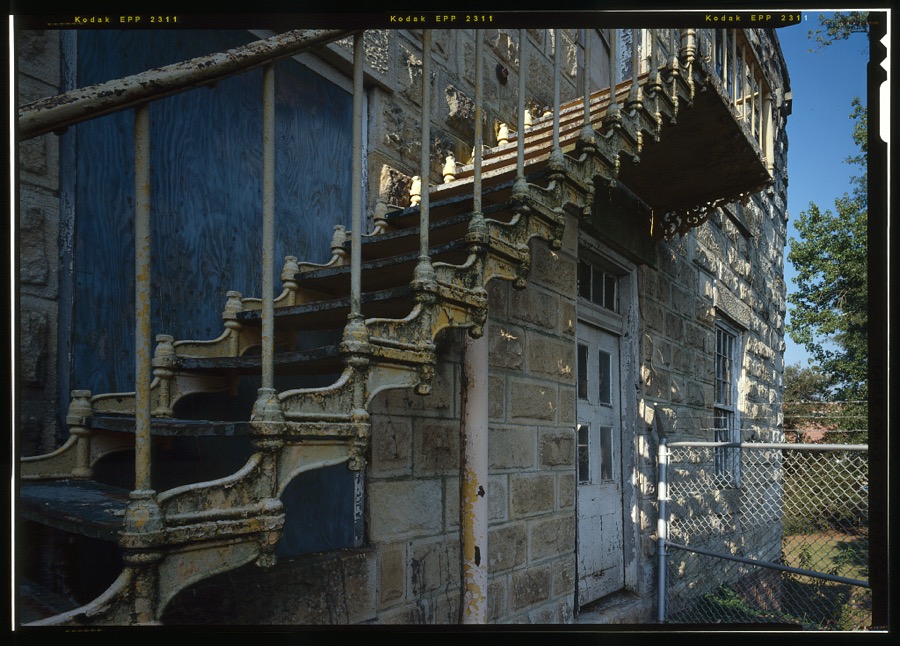
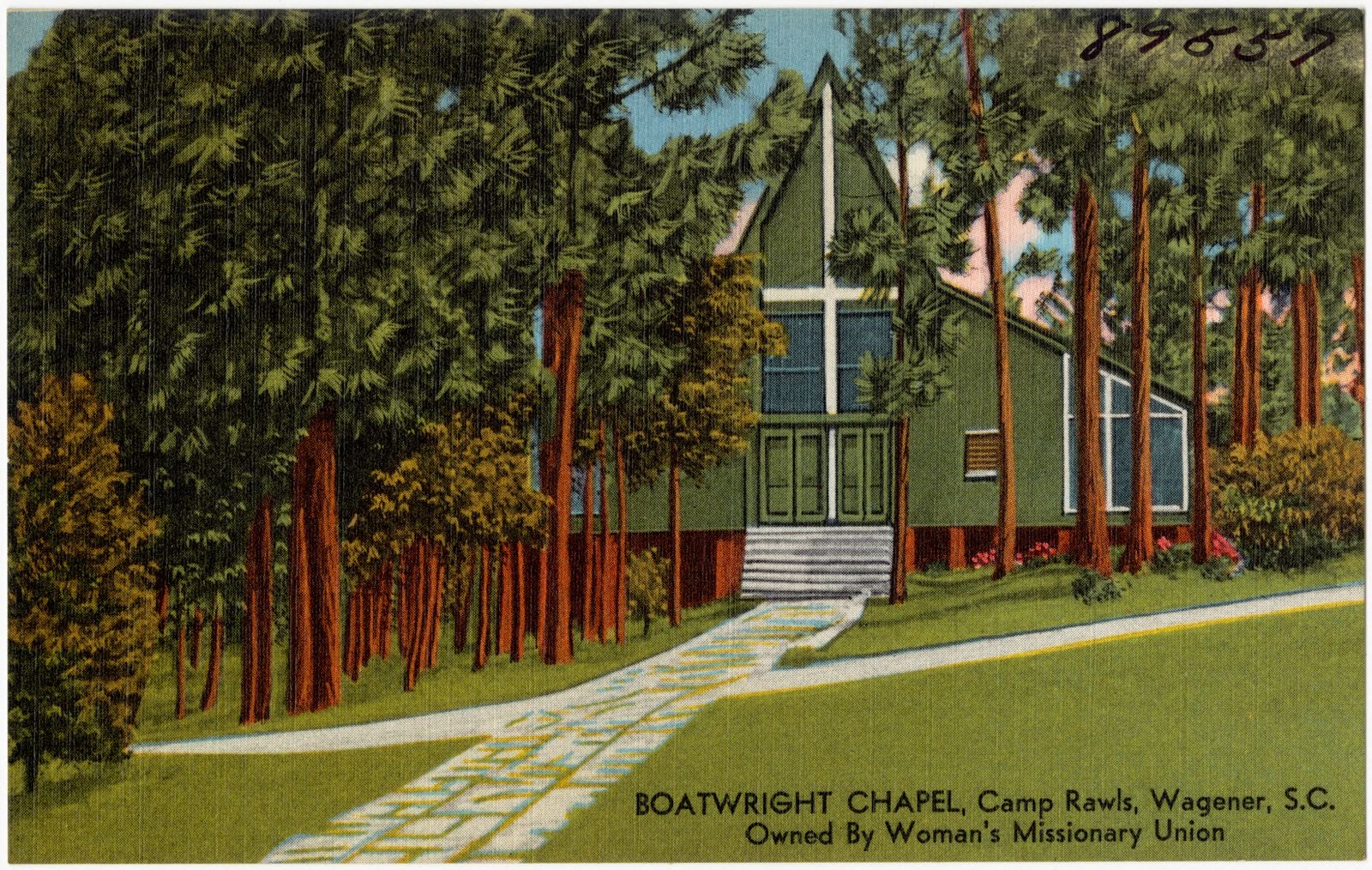
Every property in this county listed on the National Register of Historic Places, with the year it was listed and the federal nomination document.
| Photograph | Property | Type | Listed | Reference |
|---|---|---|---|---|
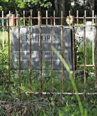 | Aiken Colored Cemetery | site | 2007 | 07000182 |
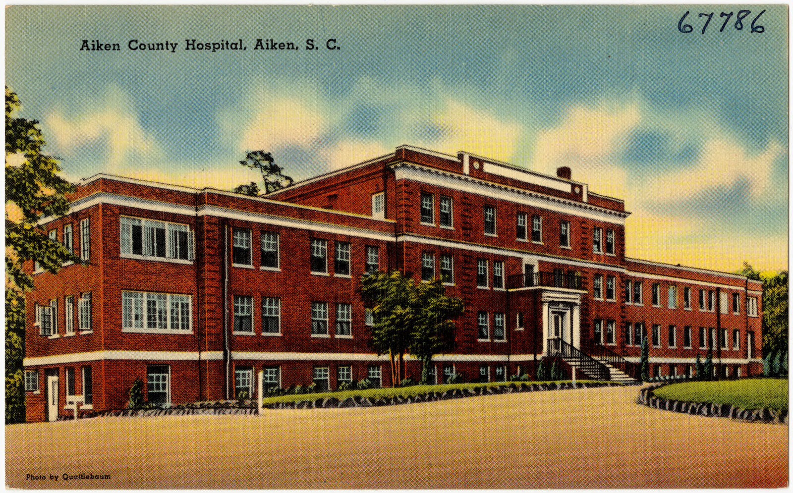
| Aiken County Hospital | building | 2021 | 100006888 | |
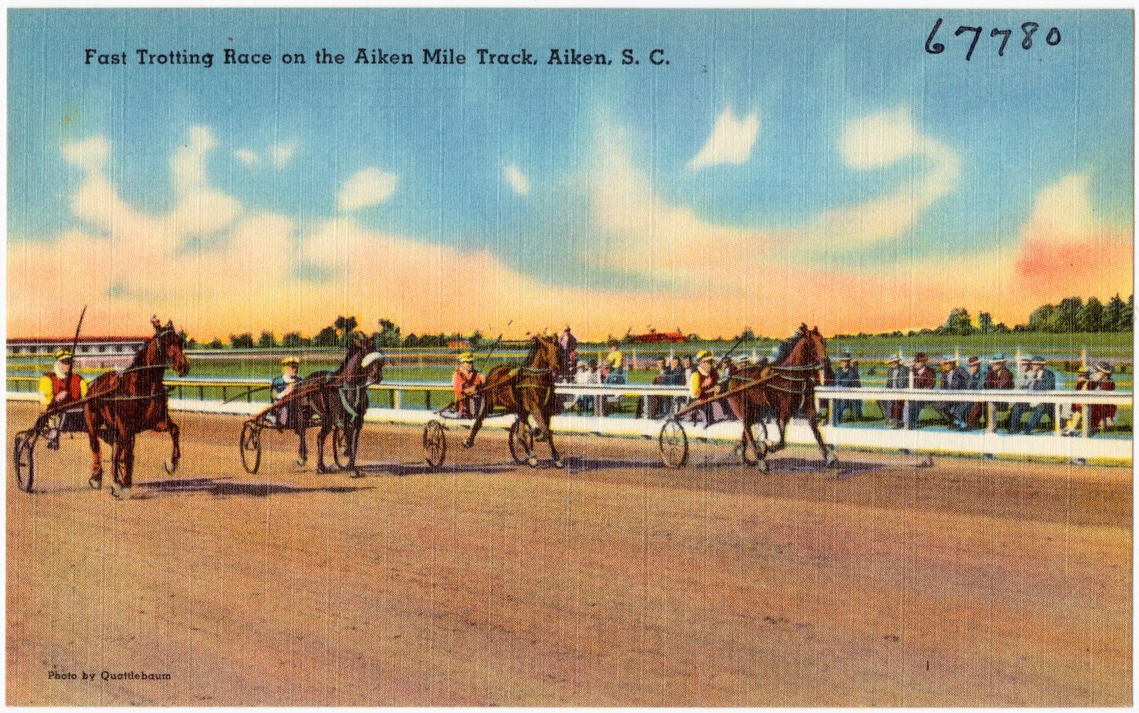
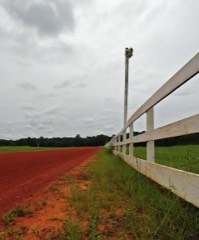 | Aiken Mile Track | district | 1985 | 85000991 |
 | Aiken Training Track | district | 1985 | 85000992 |
 | Aiken Winter Colony Historic District I | district | 1984 | 84000484 |
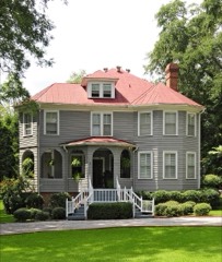 | Aiken Winter Colony Historic District II | district | 1984 | 84000498 |
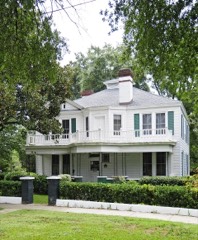 | Aiken Winter Colony Historic District III | district | 1984 | 84000508 |
| Chancellor James P. Carroll House | building | 1977 | 77001209 | |
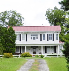 | Cedars, The | building | 1993 | 93000539 |
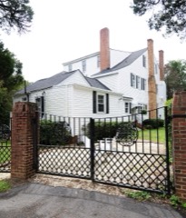 | Chinaberry | building | 1982 | 82003826 |
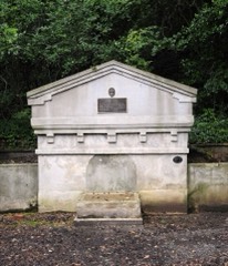 | Coker Spring | site | 1978 | 78002490 |
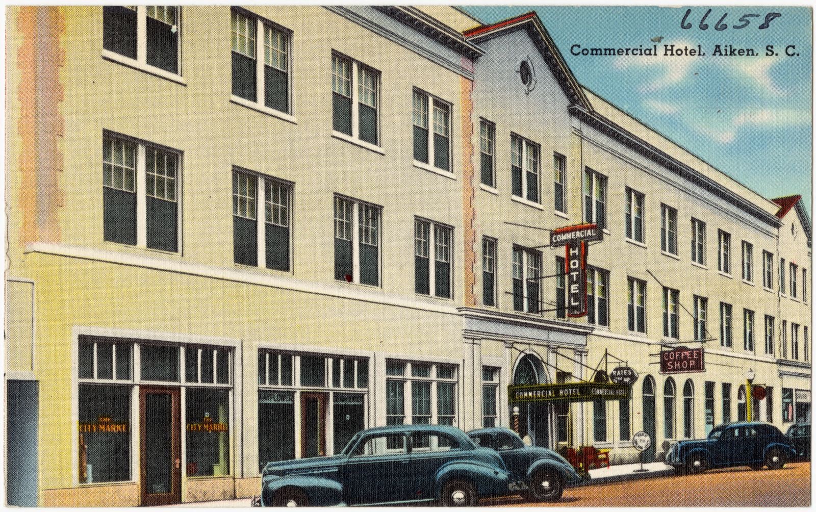
| Commercial Hotel | building | 2024 | 100011230 | |
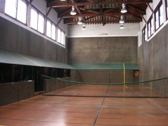 | Court Tennis Building | building | 1984 | 84000513 |
 | Crossways | building | 1997 | 97000536 |
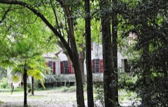 | Dawson-Vanderhorst House | building | 1976 | 76001685 |
| Gaston Livery Stable | building | 2020 | 100005001 | |
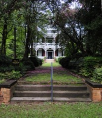 | Georgia Avenue-Butler Avenue Historic District | district | 1984 | 84002017 |
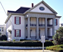 | Graniteville Historic District | district | 1978 | 78002491 |
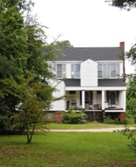 | Charles Hammond House | building | 1973 | 73001672 |
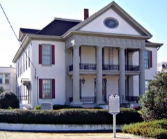 | Hickman Mill Historic District | district | 2016 | 16000046 |
 | Immanuel School | building | 2009 | 09000389 |
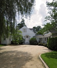 | Joye Cottage | building | 1980 | 80003651 |
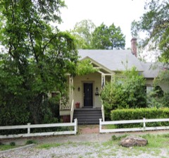 | Legare-Morgan House | building | 1977 | 77001210 |
 | Lookaway Hall | building | 1992 | 92000962 |
| McGhee Block | building | 2024 | 100009883 | |
| Britton Mims Place | building | 1997 | 97000539 | |
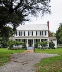 | Oakland Plantation | building | 2011 | 10001219 |
| Ocean Grove School | building | 2024 | 100010365 | |
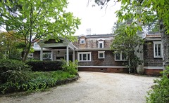 | Phelps House | building | 1974 | 74001819 |
 | Pickens House | building | 1983 | 83002182 |
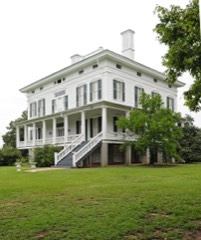 | Redcliffe | building | 1973 | 73001671 |
 | Rosemary Hall | building | 1975 | 75001685 |
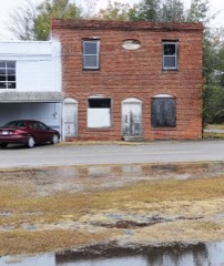 | Salley Historic District | district | 2000 | 00000554 |
 | St. Mary Help of Christians Church | building | 1982 | 82003827 |
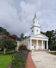 | St. Thaddeus Episcopal Church | building | 1984 | 84000518 |
 | US Court House-Aiken, South Carolina | building | 2003 | 03001288 |
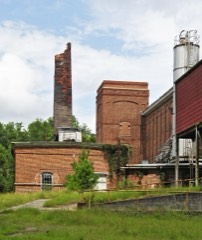 | Vaucluse Mill Village Historic District | district | 1996 | 96000494 |
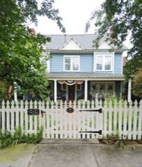 | B. C. Wall House | building | 1992 | 92001632 |
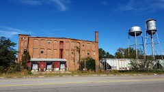 | Warren Mill | building | 2016 | 16000678 |
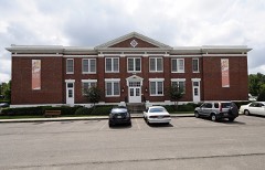 | Warrenville Elementary School | building | 2002 | 02000560 |
 | Whitehall | building | 1984 | 84000527 |
 | Willcox's | building | 1982 | 82003828 |
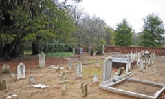 | Zubly Cemetery | site | 2002 | 01001548 |
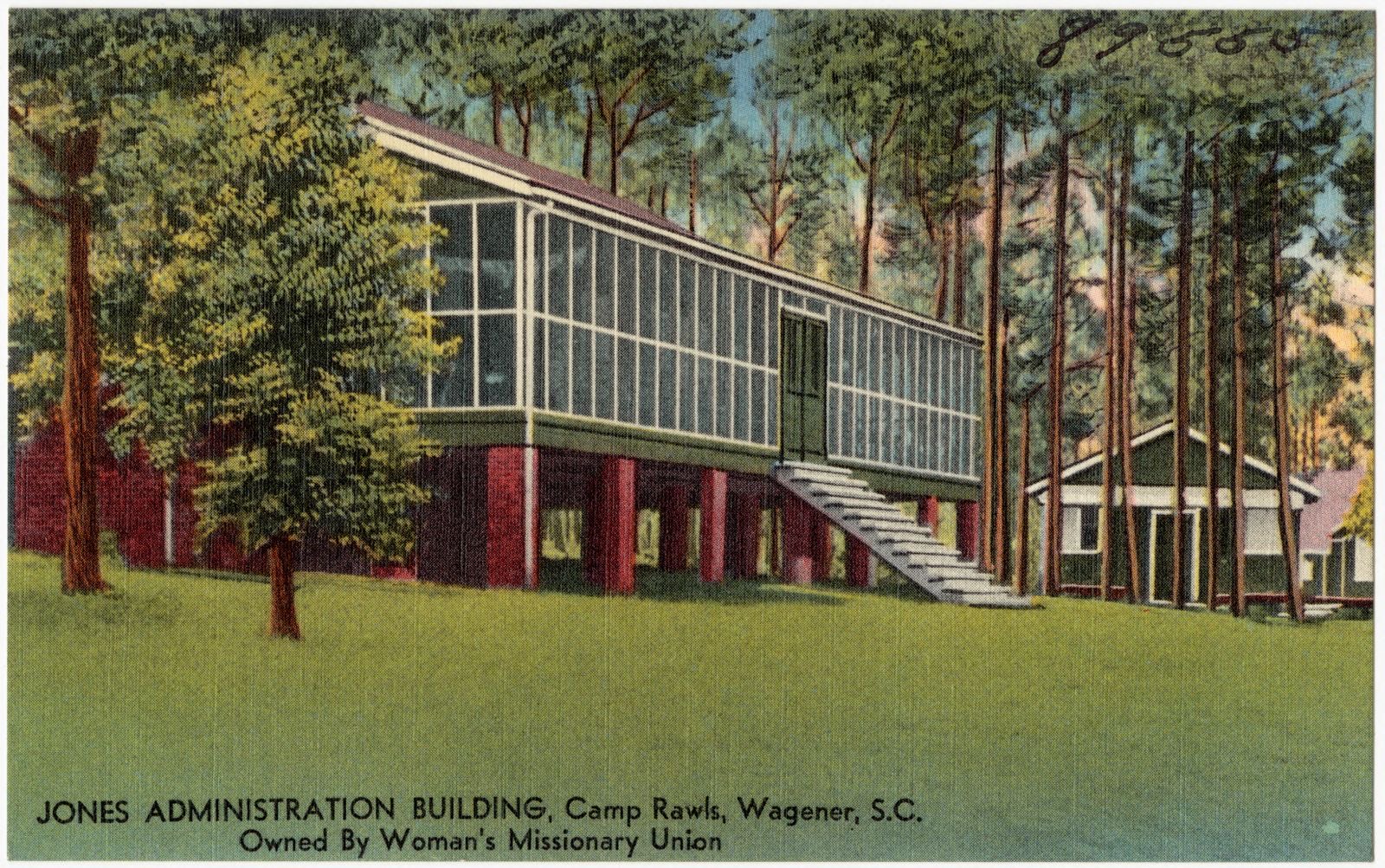
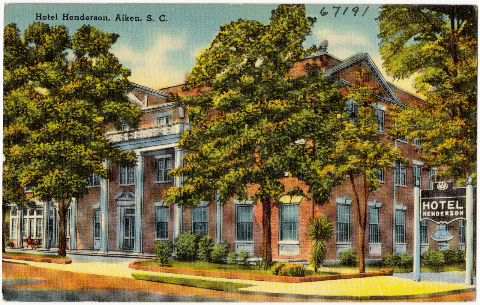
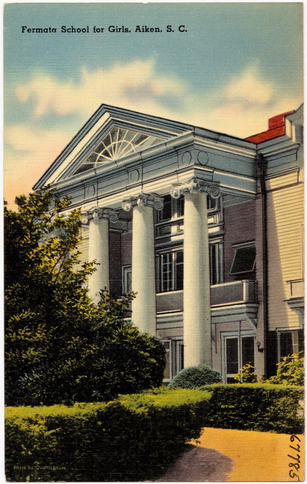
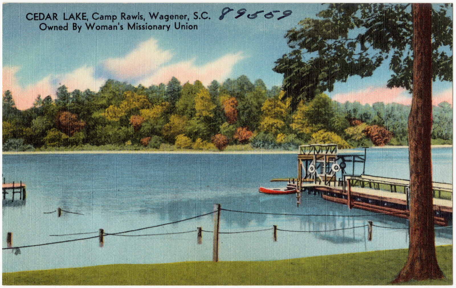
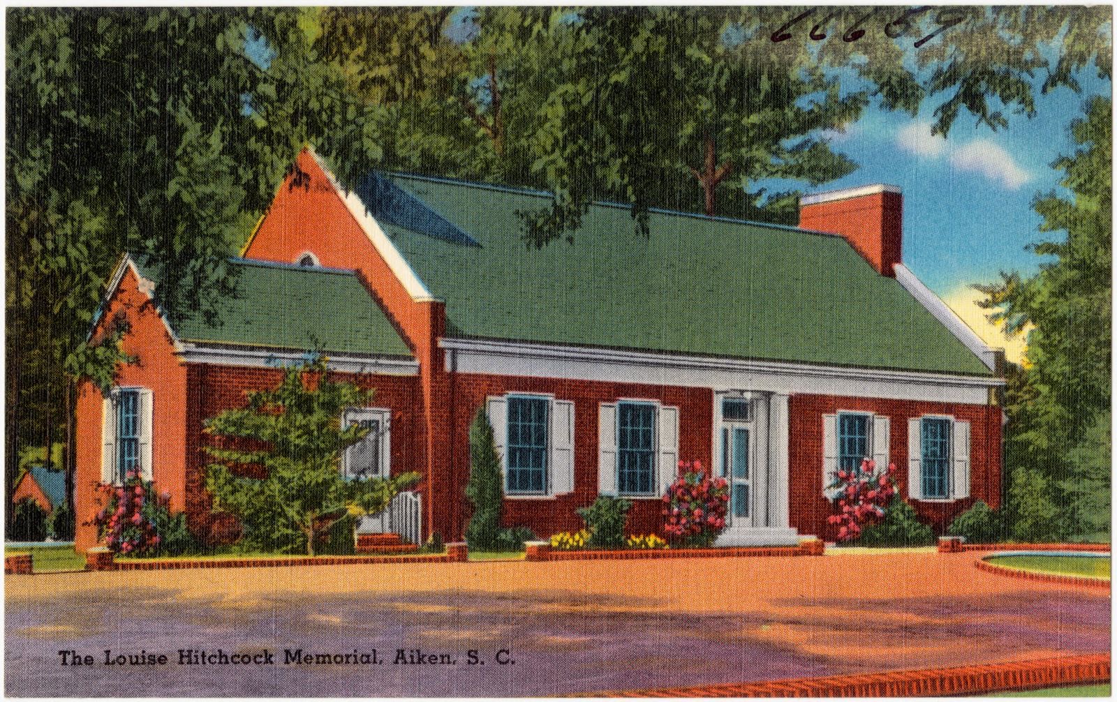
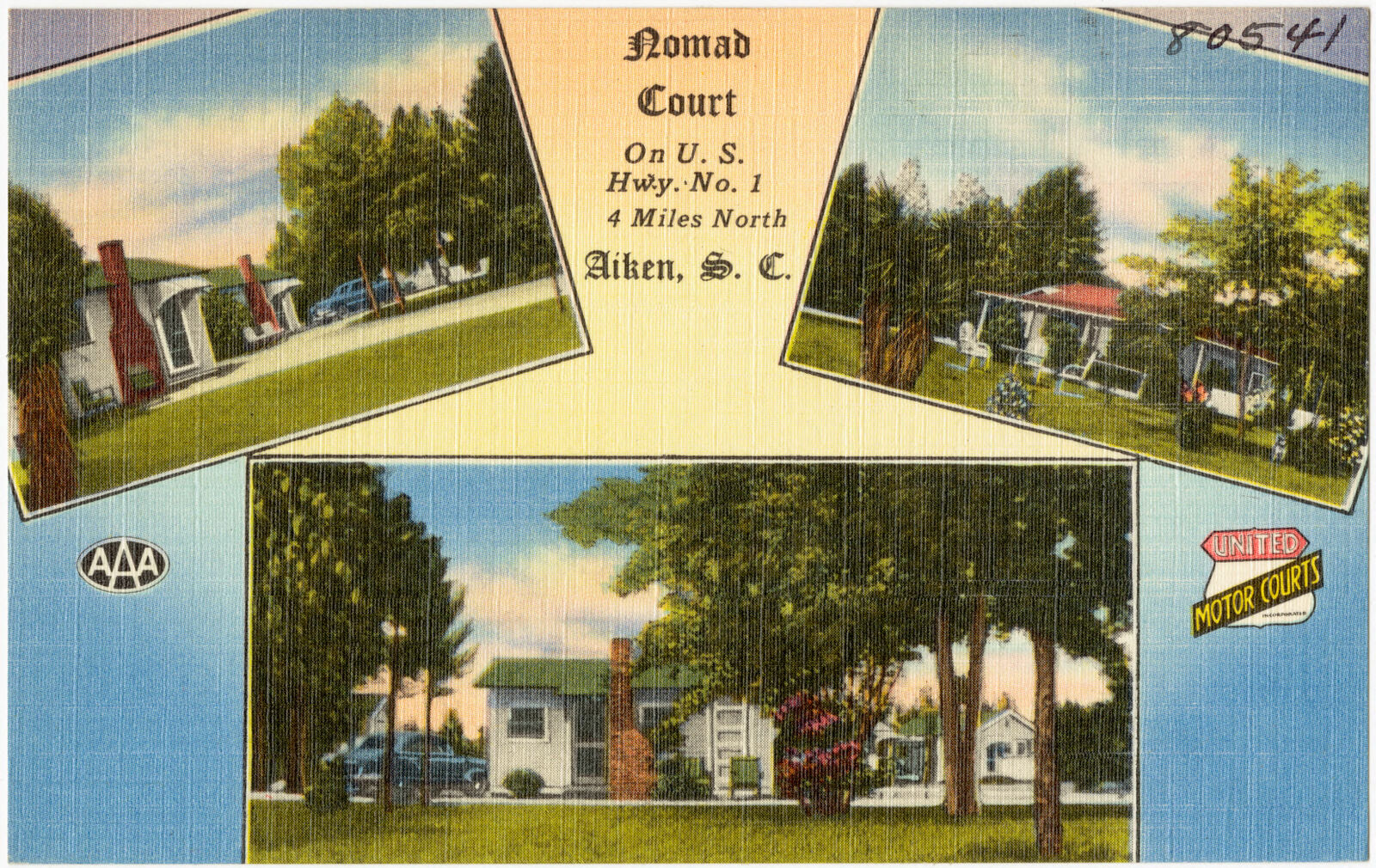
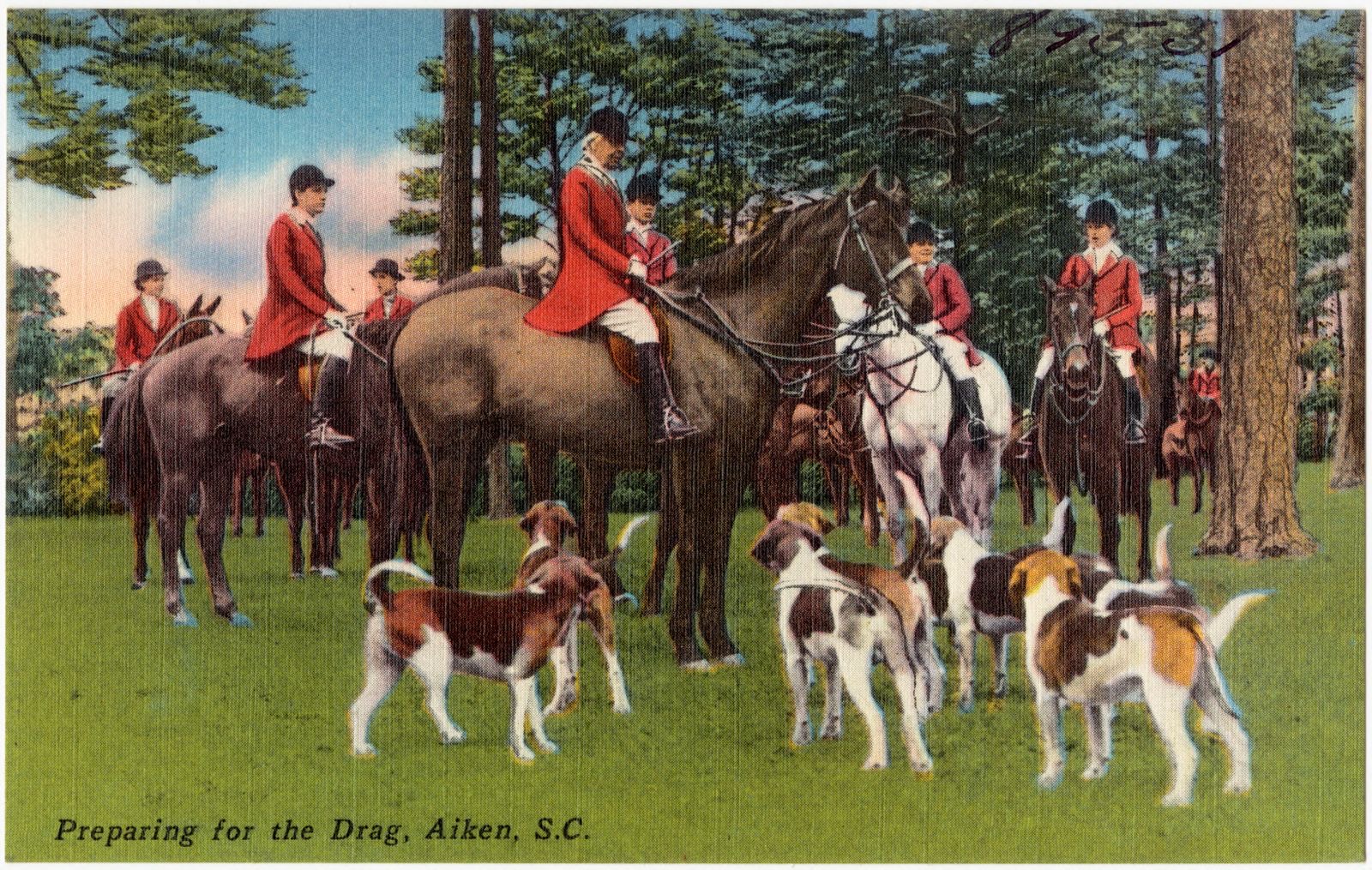
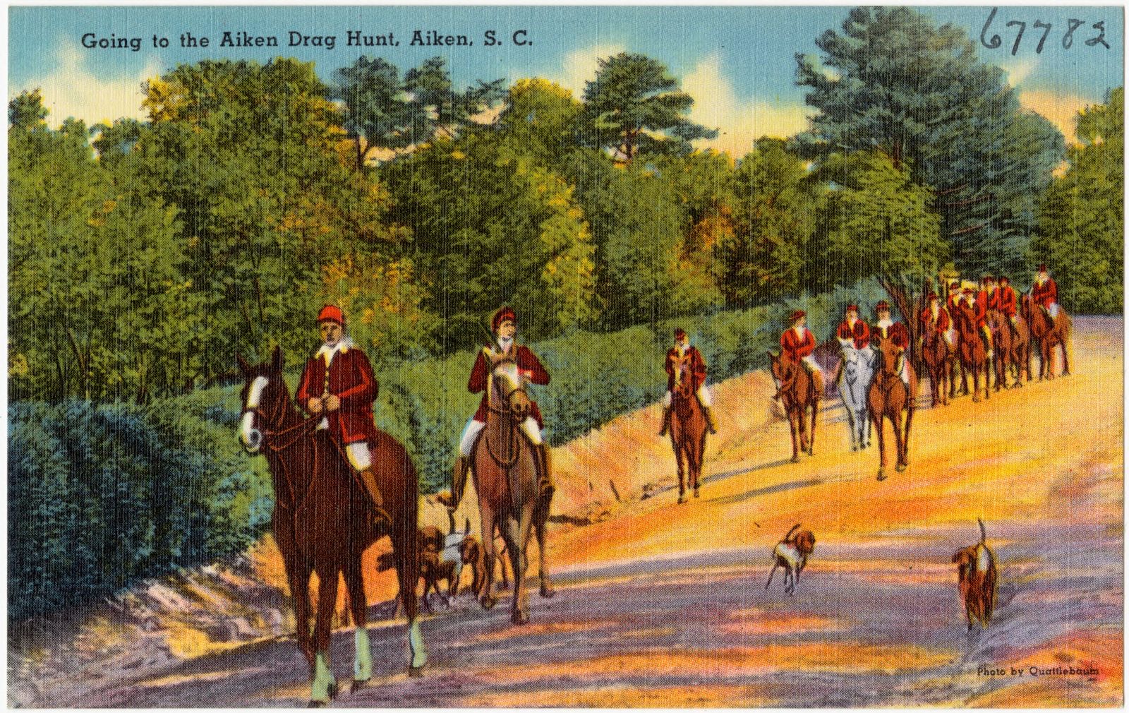
Selected from the Digital Public Library of America's 23 image records catalogued for this county. Every one shown here carries a public-domain status or a licence that permits reuse on a site that carries advertising; non-commercial, share-alike and restricted images are excluded. The selection is spread across the county's towns (at most eight per town), so no single institution's bulk upload crowds out the rest. Each opens the holding library's record, and the complete set at the Digital Public Library of America is one click away.


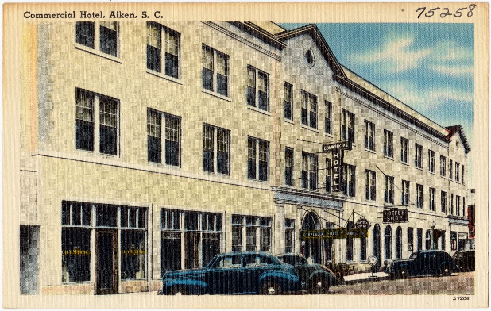
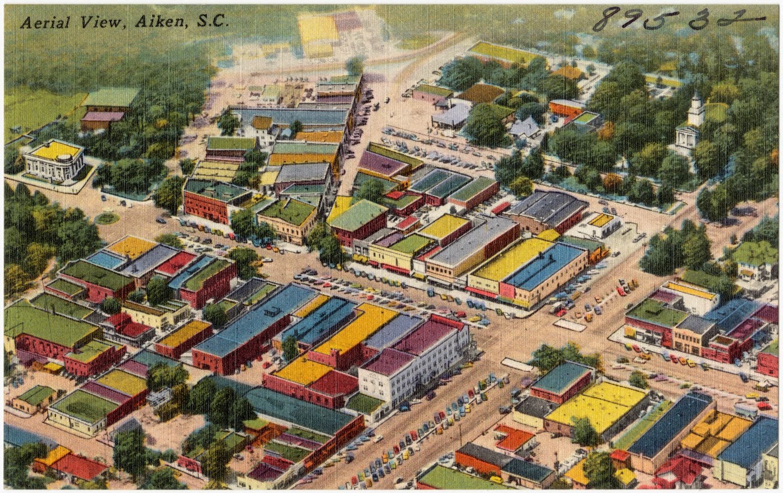
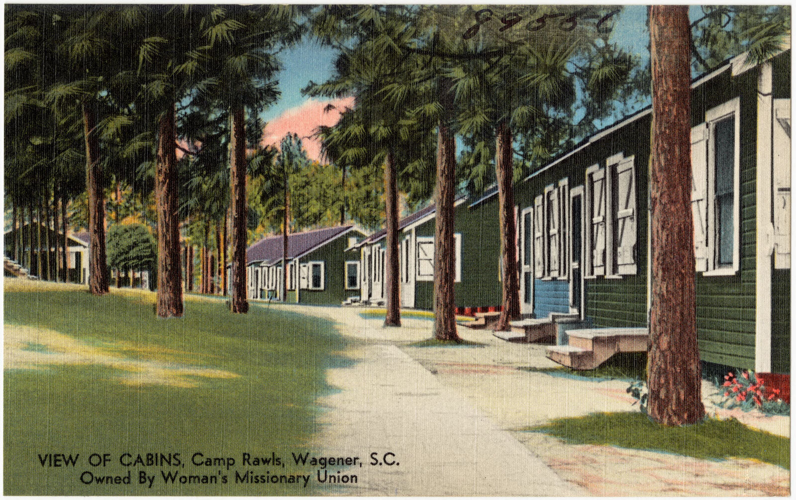
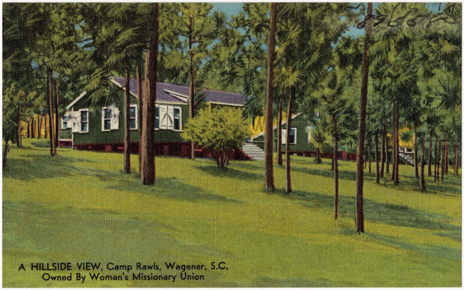


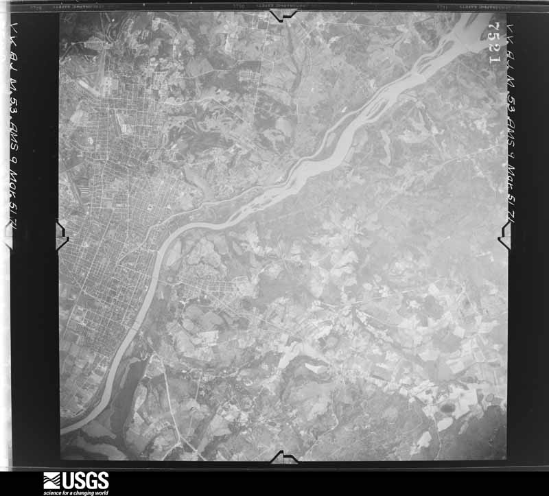
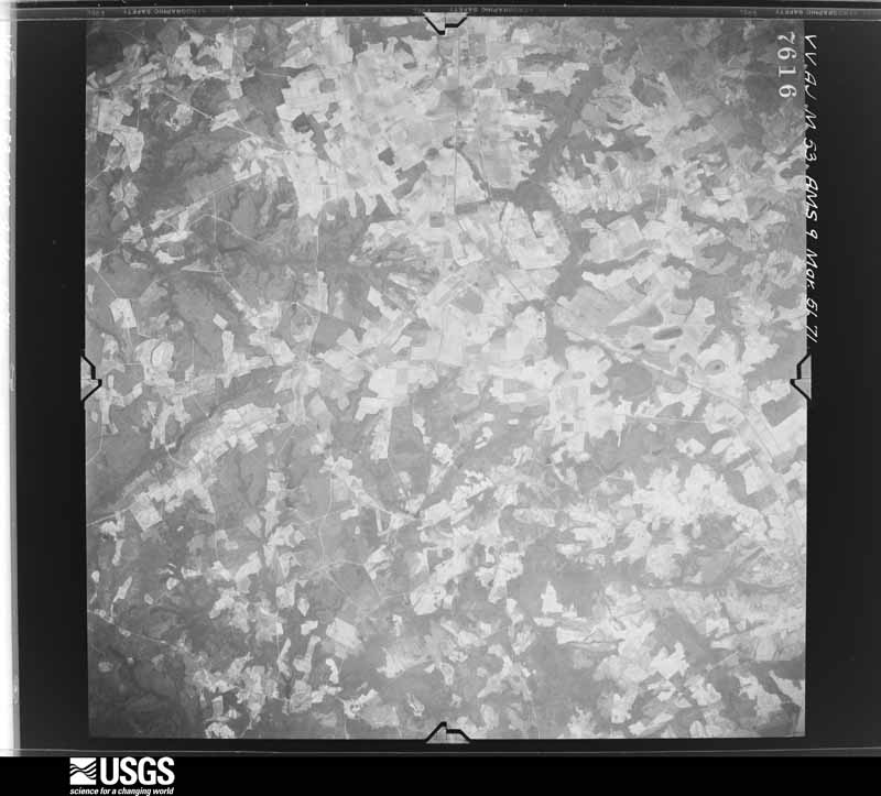
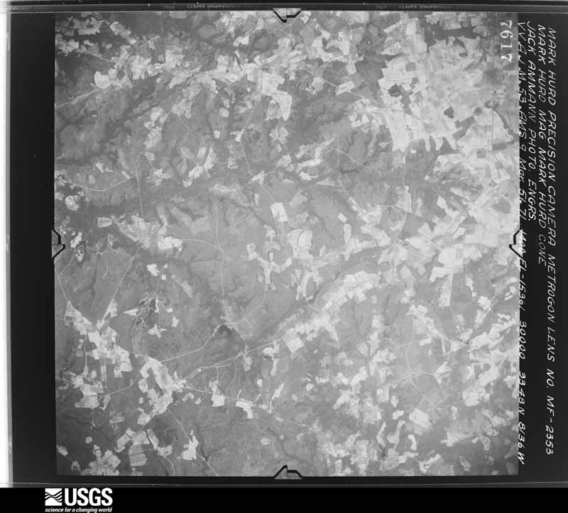
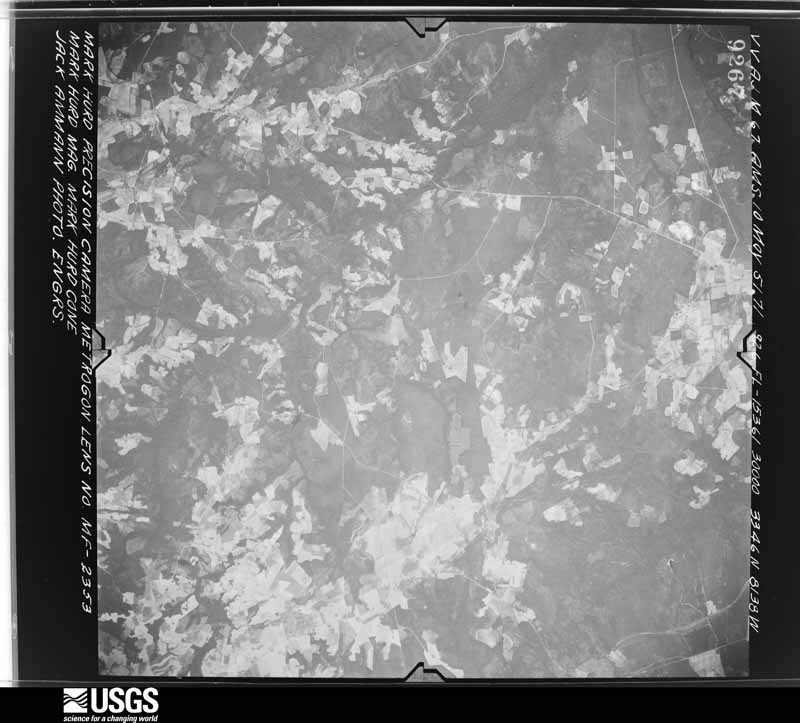
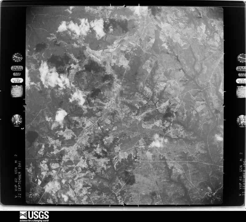
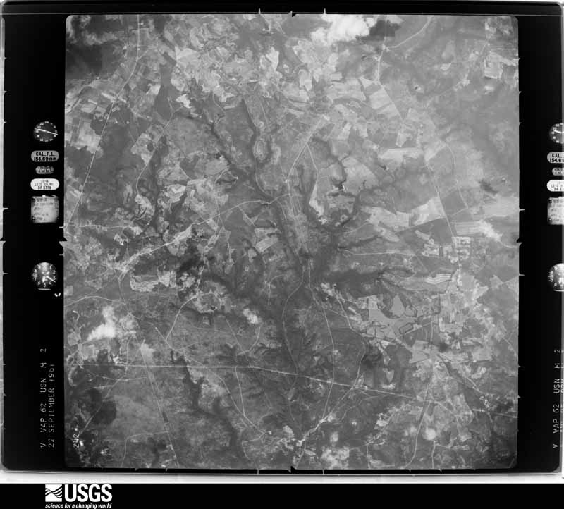
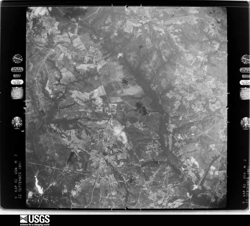
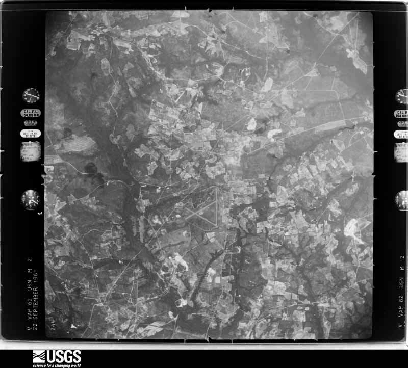
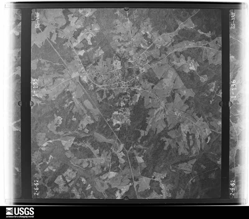
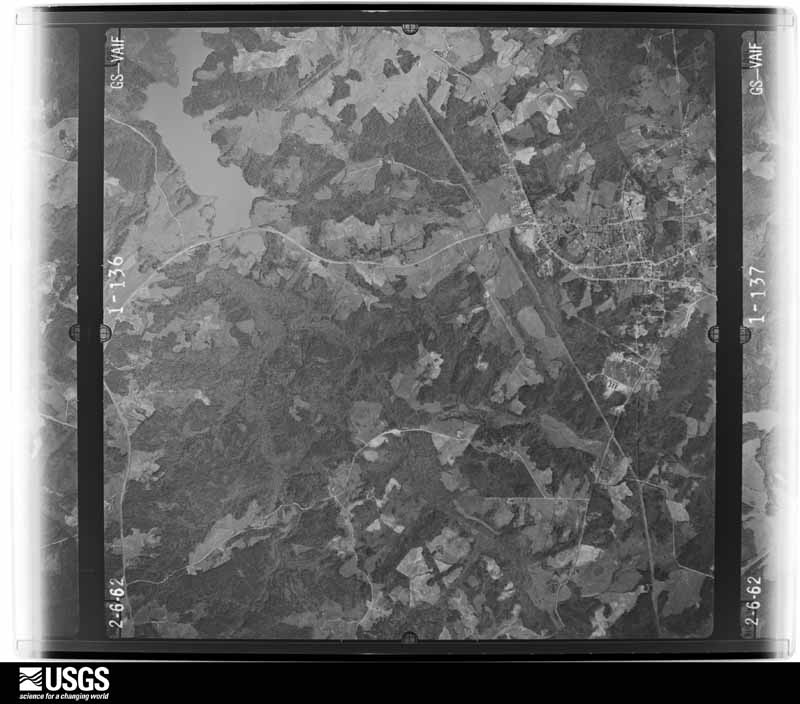
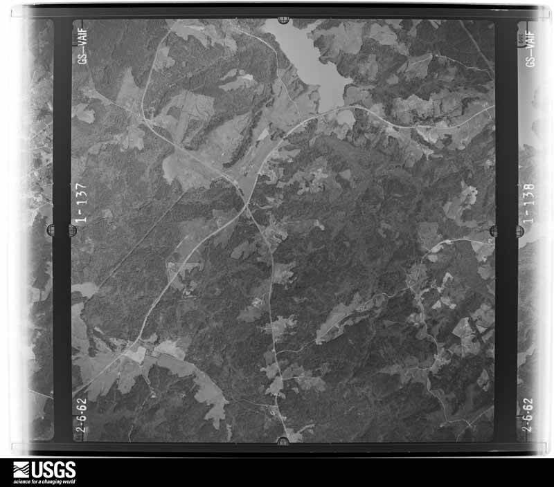
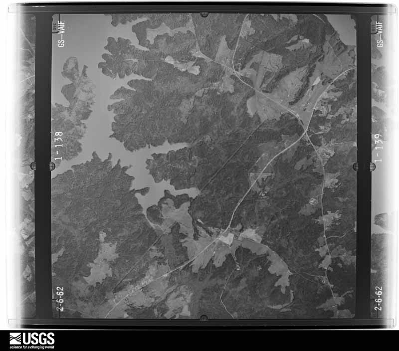
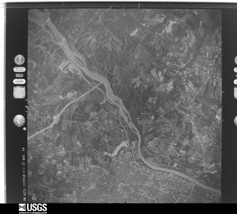
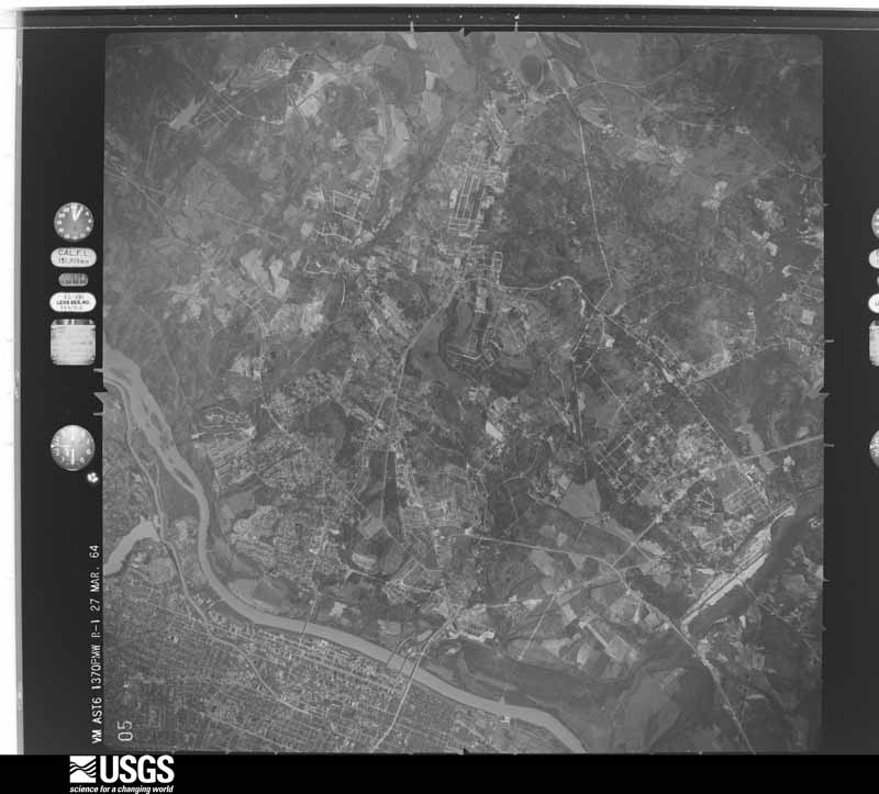
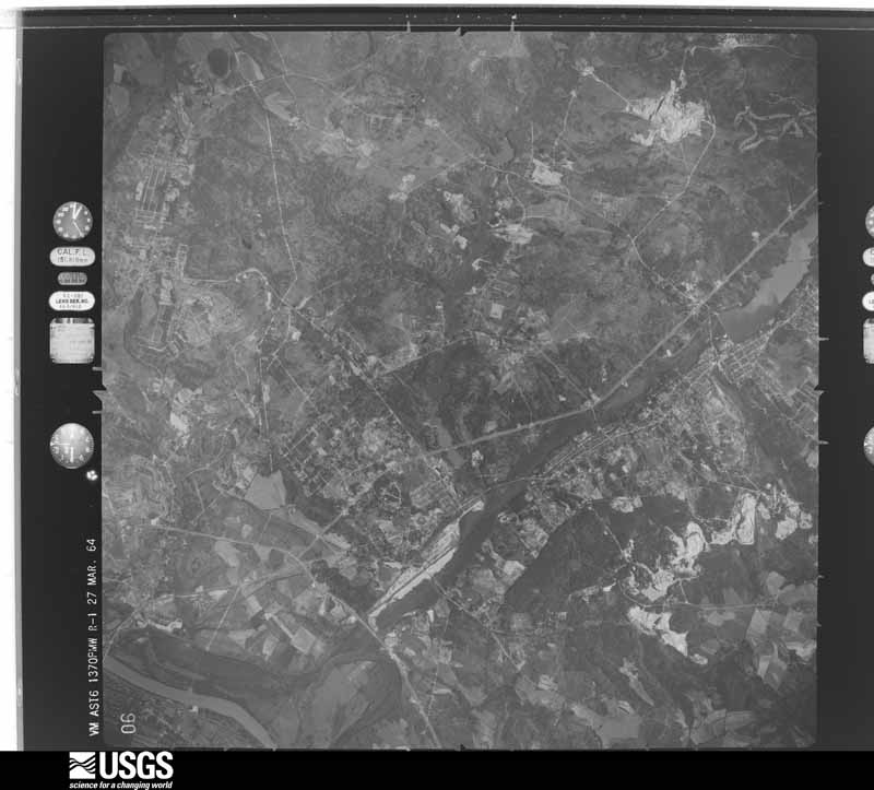
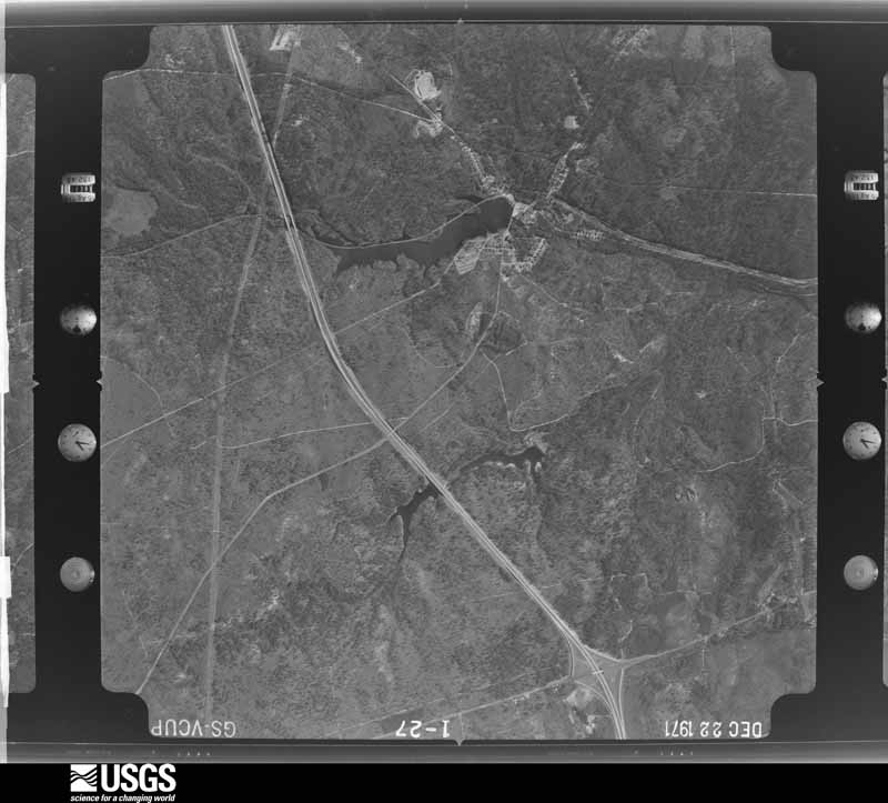
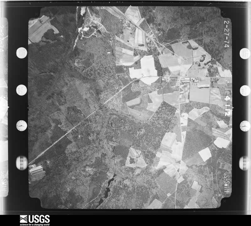
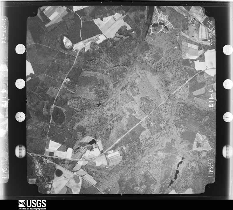
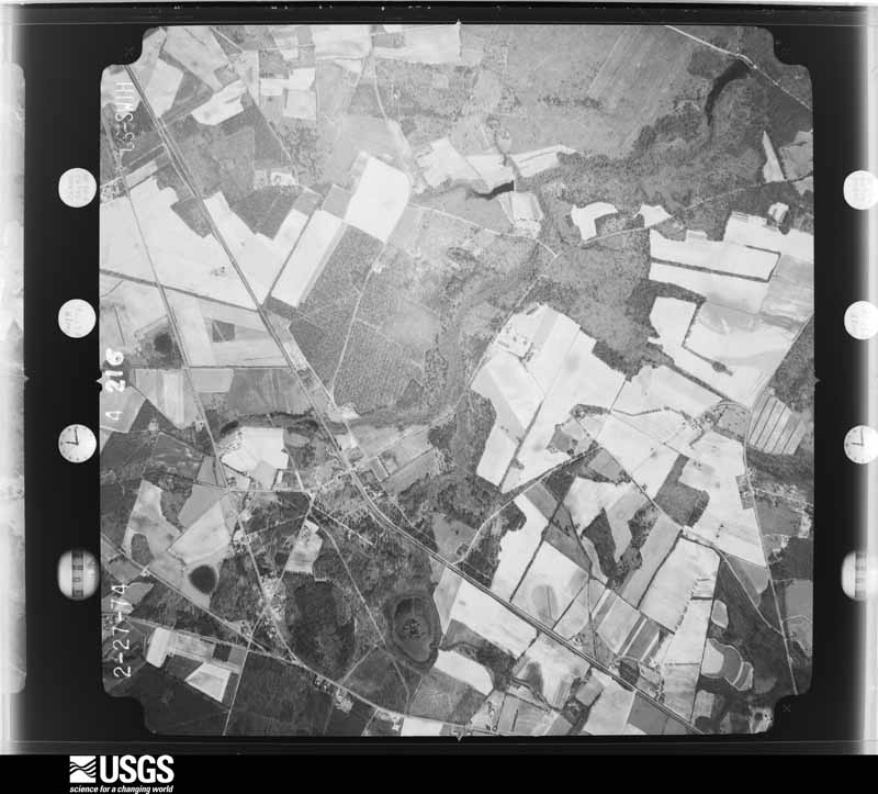
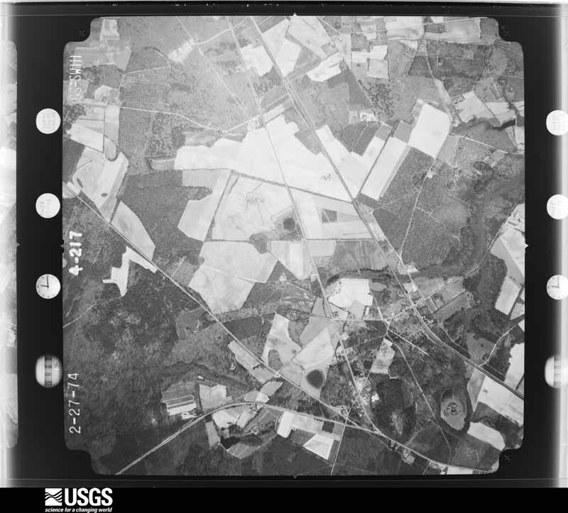
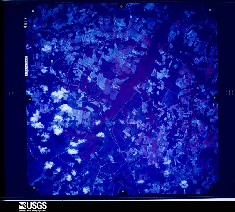
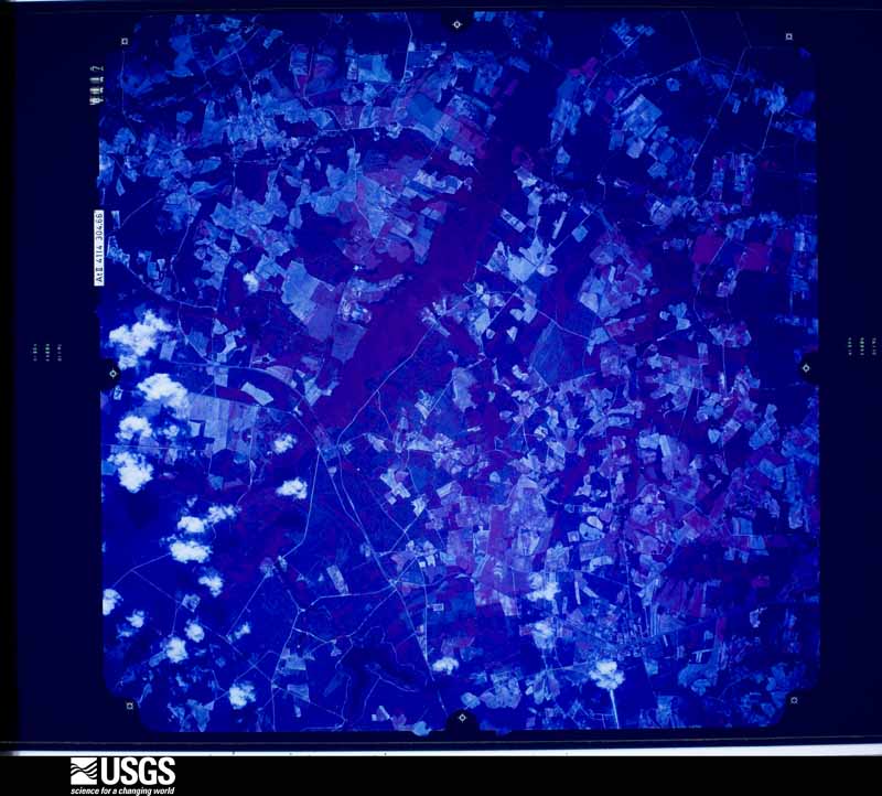
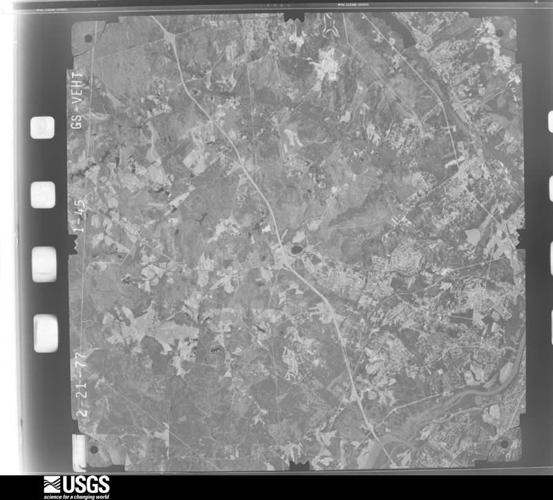
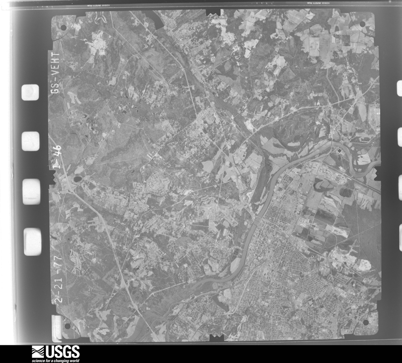
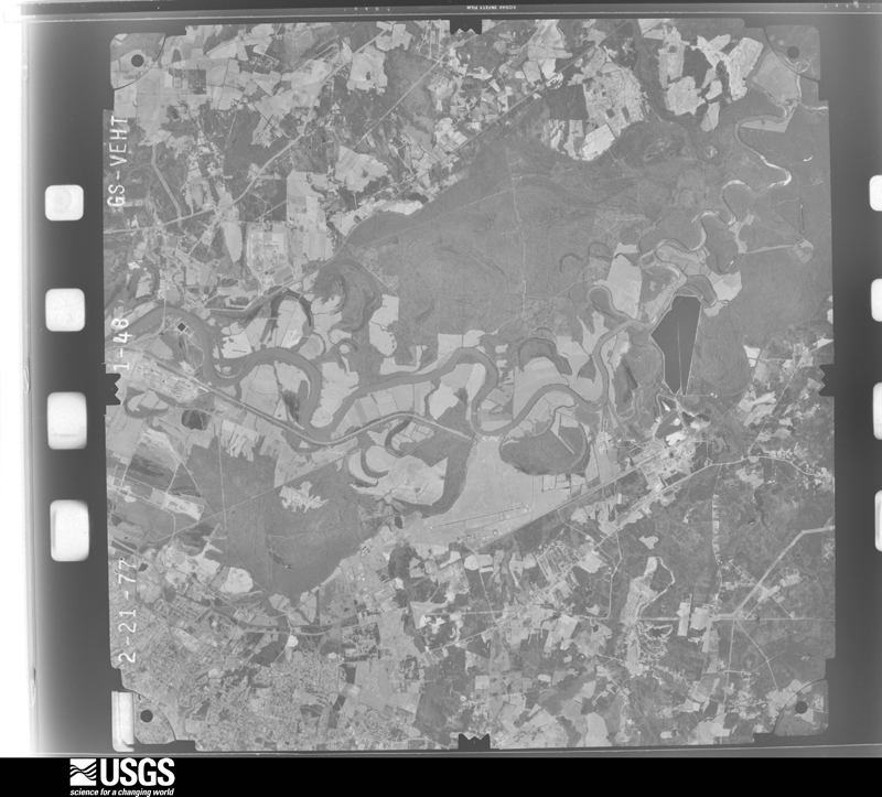
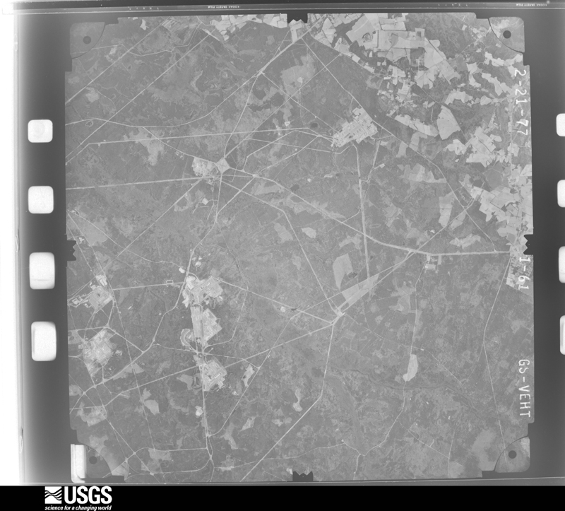
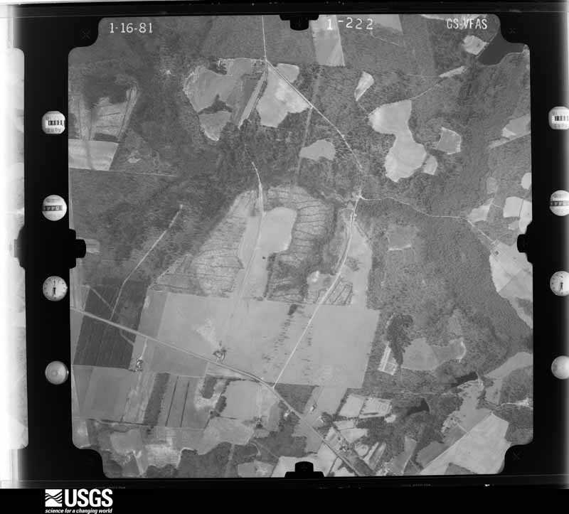
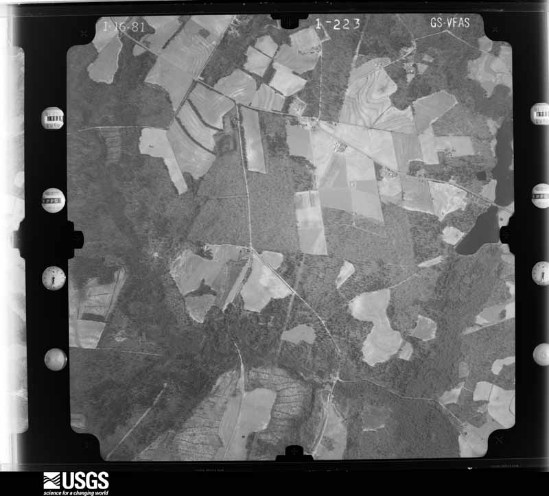
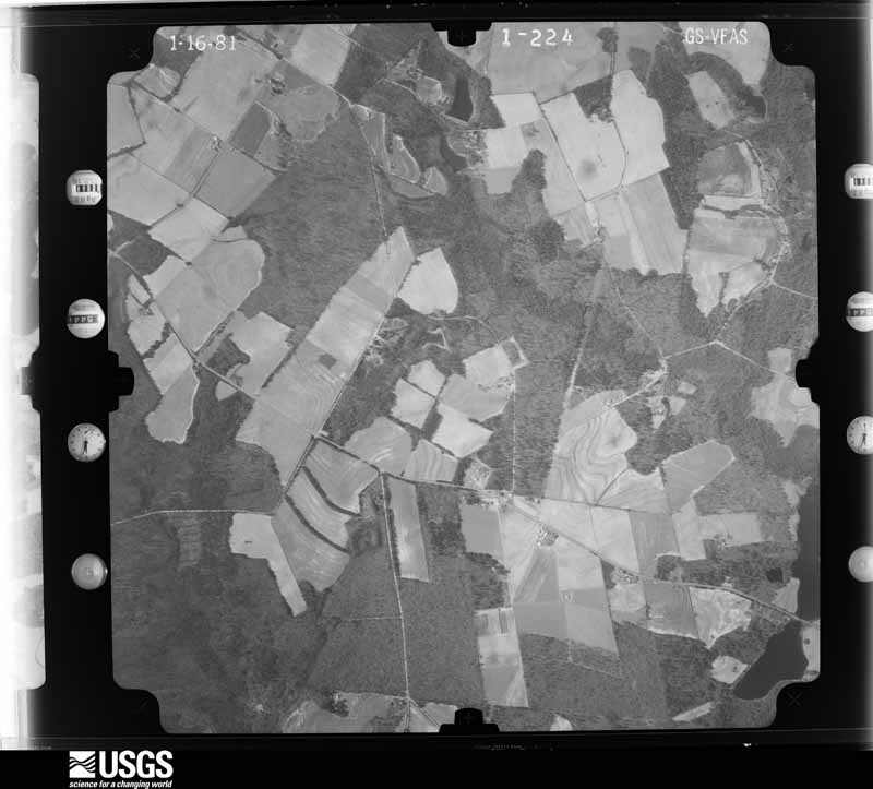
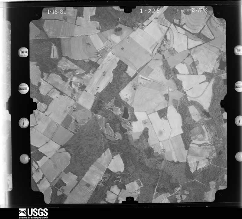
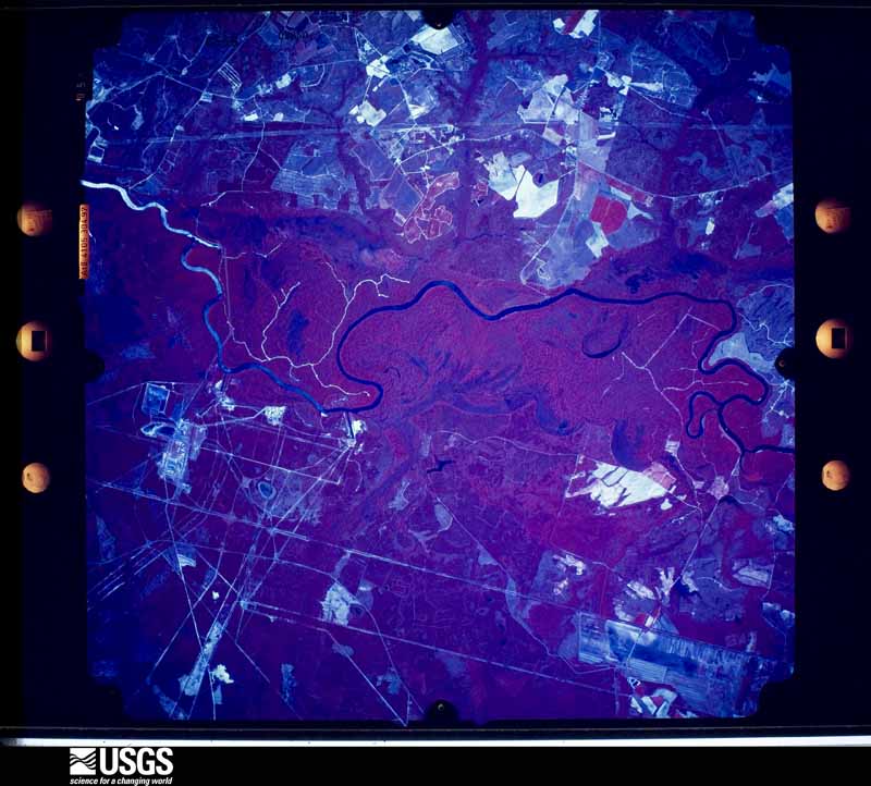
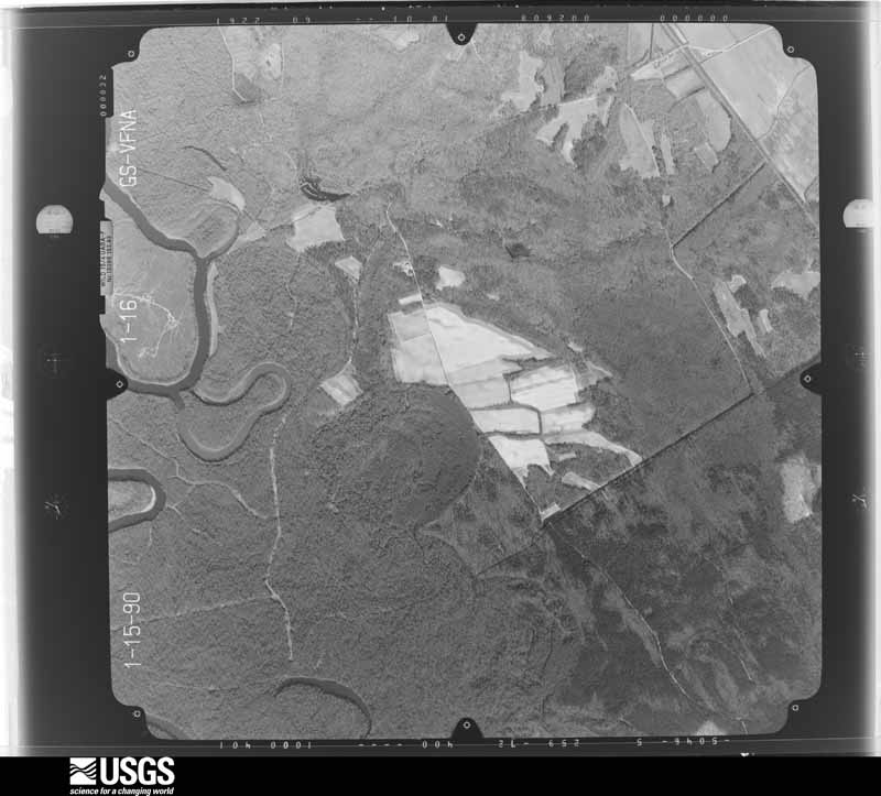
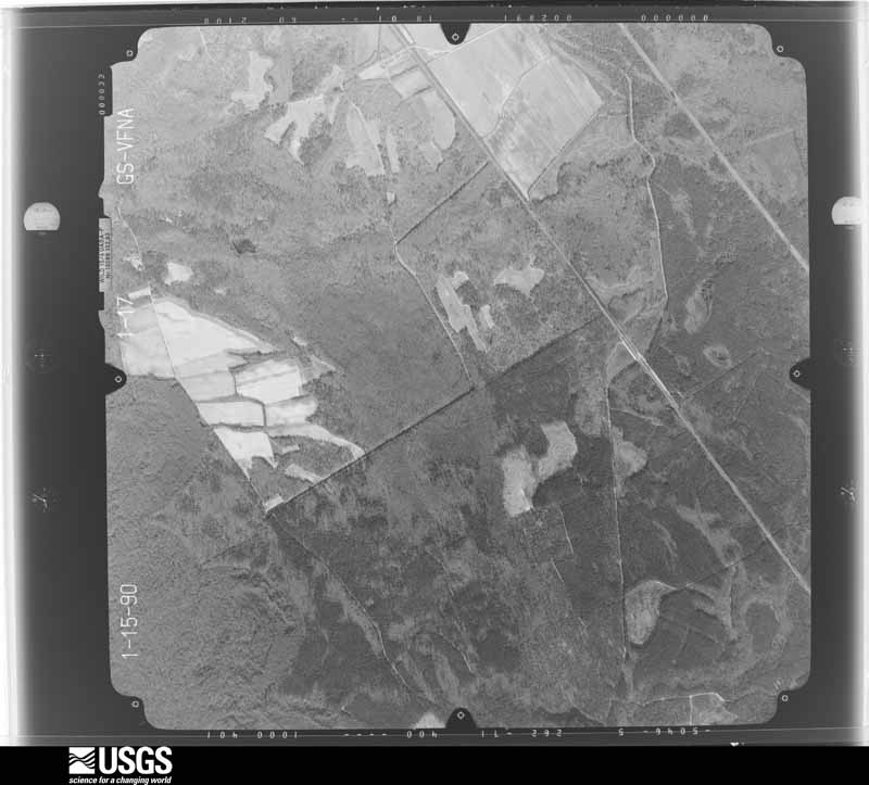
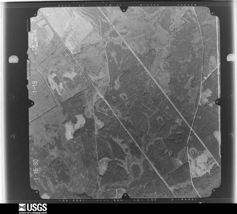
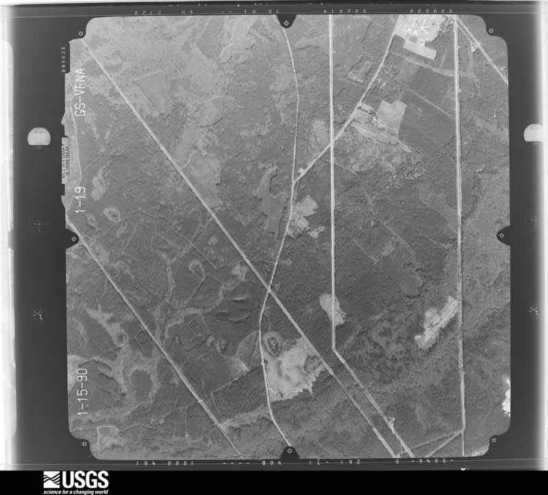
Flown by the U.S. Geological Survey between 1937 and 1989, the Aerial Photo Single Frames collection is the definitive mid-century view of the land: fields, roads and rivers as the camera saw them. The Survey holds 2,385 frames inside the rectangle that bounds this county; the 40 frames below were taken over the county itself, chosen across the decades of flights (at most four a year from that rectangle), so one flight cannot crowd out the rest. The full set is free to browse and download at EarthExplorer under the dataset Aerial Photo Single Frames.
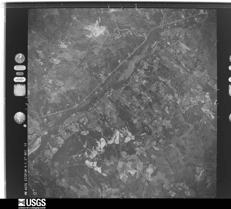
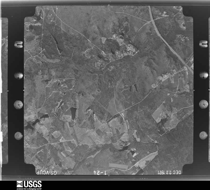
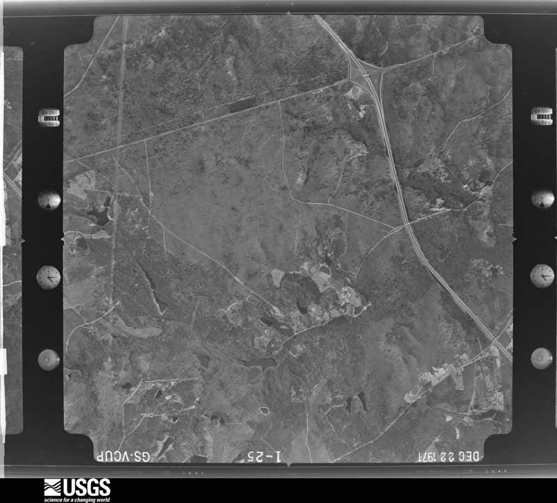
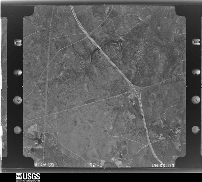

The thermometers that kept this county's weather, and the gages that measured the flow of its streams, as the federal records hold them. The extremes below are measured values from those records, not estimates.
Who lived here in 1950, one enumeration district at a time, as the Census Bureau described each district. Each row opens its official National Archives result, with Population Schedules and ED Maps available there.
Every wildfire the federal occurrence database records inside this county: 3,940 of them, burning about 20,503 acres. 215 started naturally and 439 were recorded as arson. Each settlement page carries the fires within five miles of it.
| Reported cause | Fires |
|---|---|
| Debris and open burning | 1298 |
| Missing data/not specified/undetermined | 1218 |
| Arson/incendiarism | 439 |
| Misuse of fire by a minor | 335 |
| Equipment and vehicle use | 227 |
| Natural | 215 |
| Smoking | 64 |
| Power generation/transmission/distribution | 50 |
| Other causes | 42 |
| Recreation and ceremony | 23 |
| Fireworks | 17 |
| Railroad operations and maintenance | 12 |
The five largest, by the area the report gives. One of them was set deliberately.
| Date | Cause | Size | Reported by | Name on the report |
|---|---|---|---|---|
| 13 March 2017 | Debris and open burning | 950 acres | South Carolina Forestry Commission | not named |
| 11 September 2002 | Misuse of fire by a minor | 250 acres | South Carolina Forestry Commission | BIG GULLY |
| 18 July 1997 | Natural | 234 acres | South Carolina Forestry Commission | not named |
| 10 March 1993 | Missing data/not specified/undetermined | 225 acres | South Carolina Forestry Commission | not named |
| 29 March 2020 | Debris and open burning | 225 acres | South Carolina Forestry Commission | not named |
| 28 May 2019 | Equipment and vehicle use | 220 acres | South Carolina Forestry Commission | GATEWAY FIRE |
| 2 July 2009 | Equipment and vehicle use | 208 acres | South Carolina Forestry Commission | LOUGHLIN ROAD |
| 22 July 1998 | Arson/incendiarism | 200 acres | South Carolina Forestry Commission | not named |
Every settlement page carries the fires within five miles of it - see the settlement index below.
The NOAA Storm Events Database holds 820 reports for this county, causing 1 death, 38 injuries and about $9,577,830 in recorded property damage. Each settlement page carries the reports that name it.
| Kind of event | Reports |
|---|---|
| Thunderstorm Wind | 517 |
| Hail | 206 |
| Tornado | 44 |
| Flash Flood | 20 |
| Heavy Rain | 12 |
| Lightning | 11 |
| Flood | 7 |
| Funnel Cloud | 2 |
| Heavy Snow | 1 |
The most serious of them, by death, then injury, then recorded damage. The accounts are quoted exactly as the forecast office filed them.
| When | Event | Place named | Harm | What the report says |
|---|---|---|---|---|
| January 2008 | Lightning | Aiken | 1 killed, 1 hurt | Fifty six year old Brenda F. Baker was struck and killed by lightning while she was taking a break at her job. A second employee was also struck but only suffered minor injuries. |
| April 2009 | Tornado (EF3) | Beech Is | 14 hurt, $5,000,000 | The supercell coming out of Richmond county GA spawned another tornado in Aiken county that did widespread damage. Many homes and business were severely damaged. Numerous trees and powerlines were down and there were around a dozen minor injuries. The tornado tracked along hwy 278. There was also one indirect death of a man who crashed trying to avoid trees on the highway and was killed. |
| February 1961 | Tornado (F1) | not stated | 5 hurt, $25,000 | no account filed |
| December 2008 | Thunderstorm Wind | New Holland Xrds | 4 hurt, $12,000 | Emergency Manager reported trees down at the intersecton of Old Chalk Bed road and Hendrick road. A travel trailer was overturned and there were four injuries. |
| February 2003 | Thunderstorm Wind | Countywide | 4 hurt, $1,000 | Sheriff reported trees down around the county, especially in Aiken, Windsor, and Montmorenci where 4 people were injured who were outside doing a civil war re-enactment. |
| July 2002 | Lightning | New Holland | 3 hurt | Three men in a metal shed were struck and injured by lightning, none seriously. |
| February 1961 | Tornado (F1) | not stated | 2 hurt, $2,500 | no account filed |
| November 1995 | Tornado (F2) | Monetta | 1 hurt, $460,000 | Tornado completely destroyed four large poultry houses and a peach processing building. Large farm equipment also destroyed. One person had a leg and back injury. |
| April 2022 | Lightning | Jacksonville | 1 hurt | Media and Emergency Management reported a 22 year old woman was severely injured by a lightning strike while inside her home on Owens St in Beech Island. |
| April 2022 | Tornado (EF2) | New Holland Xrds | 1 hurt | The National Weather Service storm survey confirmed an EF2 tornado from northern|Aiken County into southern Lexington County. The peak wind associated with the tornado was 130 mph.||The tornado touched down in Aiken Co near the intersection of Holder Rd and|Huckleberry Finn Rd. The tornado move quickly to the northeast crossing Holder Rd|and along Fishhook Ln. The tornado crossed into Lexington Co then dissipated in Lexington Co. ||While in Aiken Co, the tornado produced a path of downed branches, uprooted trees|and snapped trees. The most significant damage occurred along Holder Rd and|Fishhook Ln. The tornado damaged 3 homes and downed power lines in the area. A|small wooden home lost a portion of it's metal roof. A home was partially pushed off its|foundation. Some of the supporting piers collapsed and the home had signs of buckling|along the side and rear walls. This home is where the one injury (male, age unknown)|occurred, as the roof partially collapsed. The third home was damaged when a tree fell|on the roof. There were numerous downed, uprooted and snapped trees around the 3|homes. The area was initially inaccessible until county clean up crews arrived. ||The tornado continued northeast along Fishhook Ln where significant tree damage|occurred. There were numerous large hardwood and softwood trees that were snapped|at the end of Fishhook Ln. A small metal shed was destroyed. A rusted antique car was|moved approximately 50 feet where it had resided in the shed. A car engine was|moved approximately 35 feet from where it resided in the shed. The home on the|property had a couple of small areas of damage where the wooden siding was|removed. ||The tornado continued northeast and crossed into Lexington Co through the swampy|area at the headwaters of the North Fork of the Edisto River that includes Shirley|Branch and Chinquapin Creek. |
| July 2002 | Lightning | North Augusta | 1 hurt | A woman was struck in her home through the telephone line. She was not seriously injured. |
| June 1989 | Thunderstorm Wind | not stated | 1 hurt | no account filed |
| July 2012 | Lightning | Couchton | $550,000 | Aiken Standard reported lightning started a fire that destroyed the Hayden Baptist Church in Couchton. |
| April 2011 | Thunderstorm Wind | Salley | $500,000 | ASOS recorded a gust to 55 mph from a passing thunderstorm. |
| June 2013 | Flash Flood | Little Horse Creek | $340,000 | Aiken dispatch reported several roads had to be closed around the Clearwater Lake area due to wash outs. Two apartment complexes also had to be evacuated due to water level rising up to 4 feet in the bottom apartments. |
| April 1983 | Tornado (F1) | not stated | $250,000 | no account filed |
| May 1978 | Tornado (F1) | not stated | $250,000 | no account filed |
| September 1975 | Tornado (F2) | not stated | $250,000 | no account filed |
| February 2012 | Thunderstorm Wind | North Augusta | $240,000 | Sheriff and SKYWARN spotters reported numerous trees and powerlines down from North Augusta to Graniteville. Some trees were down on homes and other homes suffered minor damage from the winds. |
| February 2012 | Tornado (EF2) | Seivern | $240,000 | NWS storm survey confirmed an EF2 tornado touched down north of Wagener near the Aiken/Lexington county line. A two story home that was built up off the ground was destroyed and a brick home was severely damaged. Other homes also suffered damage. Many trees were down as well. |
| July 2010 | Thunderstorm Wind | North Augusta | $140,000 | EM reported many trees down around N. Augusta. Several trailers were damaged on Tigerlilly Drive and Dafodill Lane from trees falling onto them. Several homes on Yardly Drive also had trees fall onto them. A well secured radio tower was bent over as well. |
| November 2011 | Thunderstorm Wind | Beech Is | $120,000 | An intense microburt took down trees and powerlines and overturned two mobile homes twice. Damage also occurred to a garage/workshop and other outbuildings. |
| June 2015 | Lightning | Beech Is | $78,000 | Aiken County Sheriff reoprted a home on Virginia Hill Court caught fire due to a lightning strike. |
| March 2021 | Thunderstorm Wind | Wagener | $60,000 | Several trees were downed onto homes in the town of Wagener. One home was completely destroyed, one was moderately damaged, and seven homes experienced minor damage. Affected locations included Pine St and Railroad St W, Ables St, Columbia Rd, Main St N, and Lee St N. Time estimated. |
| August 2018 | Thunderstorm Wind | Gloverville | $60,000 | Aiken Co Emergency Manager reported that the steeple at Langley First Baptist Church, on Augusta Rd near Warrenville, had been blown down. Because the steeple was hollow and made of aluminum, it is thought that it was downed by sub-severe wind speeds. Local media reports that the damage may exceed $60K. |
| June 1995 | Thunderstorm Wind | Wagner | $50,000 | Thunderstorm winds and large hail did considerable damage. |
| June 1995 | Hail | Wagner | $50,000 | Thunderstorm winds and large hail did considerable damage. |
| May 1994 | Thunderstorm Wind | Eastern portion | $50,000 | Numerous trees downed by thunderstorm winds, one house set afire by lightning. |
| May 2012 | Thunderstorm Wind | Couchton | $40,000 | Emergency manager reported several trees down in the Nicholson Village area east of Aiken on Main Street. A tin roof was also taken off a building and underpinning of some mobile homes was damaged. One tree fell on a truck crushing it. |
| February 1992 | Tornado (F0) | not stated | $25,000 | no account filed |
| May 1976 | Tornado (F1) | not stated | $25,000 | no account filed |
| April 2011 | Thunderstorm Wind | Aiken | $24,000 | Aiken county sheriff reported trees down across the county. |
| July 2009 | Thunderstorm Wind | Bath | $24,000 | SKYWARN spotter and Sheriff reported numerous trees and powerlines down in Bath, Langley, and Clearwater. |
| July 2013 | Thunderstorm Wind | Aiken | $22,000 | Public reported a tree down on a home on Palm Drive in Aiken. |
| December 2019 | Flash Flood | Stiefeltown | $20,000 | A dam near Richardsons Lake Rd and Woodlake Dr burst. Multiple vehicles sustained damage and water entered a home. Times estimated. |
| February 2012 | Hail | North Augusta | $20,000 | SKYWARN spotters reported 1 to 1.75 inch hail in the North Augusta area to Graniteville. |
| November 2011 | Tornado (EF0) | Ellenton | $20,000 | NWS Storm Survey Team and SRS Emergency Management confirmed an EF0 tracked through the Savannah River Site taking down trees and overturning a few outbuildings. Damage was mainly in the woods and along a couple of roads. |
| August 1995 | Thunderstorm Wind | Windsor | $20,000 | One home deroofed, also car damaged by falling tree excess rainfall |
| June 2013 | Flood | Laketon | $18,000 | SC Highway Patrol reported road closings near Columbia Hwy, Bridge Creek Road, and others near U.S. 1. |
| April 2011 | Thunderstorm Wind | Jackson | $18,000 | Sheriff reported numerous trees down North Augusta, Aiken, Beech Island, and Jackson. |
| July 2010 | Thunderstorm Wind | New Holland | $16,000 | NWS and Emergency Manager found numerous trees down with minor damage to a couple of homes. |
| June 2009 | Thunderstorm Wind | Aiken | $16,000 | Aiken County Standard reported several willow trees and a couple of landmarks were taken down in Aiken when a thunderstorm moved through. |
| July 2024 | Thunderstorm Wind | Monetta | $14,000 | Newberry County Emergency Management reported a tree had fallen across I-26 westbound at mile marker 88. Seven cars were then involved in accident after hitting the tree with all lanes blocked. |
| July 2015 | Thunderstorm Wind | New Ellenton | $14,000 | Aiken Electric reported trees and powerlines down causing outages in the New Ellenton area. A woman also reported that a microburst moved her motor home 4 feet causing some damage and that there were trees and powerlines down. |
| June 2015 | Thunderstorm Wind | Salley | $14,000 | Aiken Power COOP reported trees and powerlines down on Surrey Race Road with outages. |
| May 2013 | Thunderstorm Wind | Gloverville | $14,000 | SKYWARN spotter reported trees and powerlines down in the Langley area. |
| October 2011 | Thunderstorm Wind | Gloverville | $14,000 | Sheriff reported trees down in Warrenvill and Bath. |
| July 2009 | Thunderstorm Wind | New Ellenton | $14,000 | Public reported numerous trees down in and around New Ellenton. |
| April 2015 | Thunderstorm Wind | Jackson | $12,000 | Savannah River Site reported trees down on Hwy 125. Vehicle ran into a tree. |
| July 2012 | Thunderstorm Wind | Little Horse Creek | $12,000 | Belvedere Fire Department reported trees and power lines down along Belvedere Clearwater Road from Duncan Road to Belvedere. |
| June 2010 | Thunderstorm Wind | Aiken | $12,000 | WAGT TV and Emergency Manager reported many trees down in and around Aiken and on Whiskey and Meal roads. |
| July 2010 | Flash Flood | North Augusta | $12,000 | Dispatch reported several roads closed from flash flooding in Augusta and North Augusta from heavy rain. Amounts of 2 to 3 inches fell in a one hour period. Water was up to 4 feet deep in low lying areas. |
| June 2009 | Thunderstorm Wind | Beech Is | $12,000 | Sheriff and COOP observer reported trees and powerlines down. Some were on Horseshoe Bend and Reynolds roads. |
| July 2022 | Flash Flood | Beech Is | $10,000 | Dispatch reported flooding in many locations in the Beech Island community, blocking roadways. A car stalled in floodwaters on Sand Bar Ferry Rd and Urquhart Dr. Water entered a power plant along Urquhart Dr while a digital rain gage at the plant record 4.5 inches of rain in an hour. |
| July 2009 | Thunderstorm Wind | Clearwater | $10,000 | Sheriff reported many trees and powerlines down. |
| June 1995 | Thunderstorm Wind | South portion | $10,000 | Thunderstorm winds downed numerous trees and some power lines in Belvedere, Warrenville, Gloverville and nearby areas. |
| June 1995 | Thunderstorm Wind | North Augusta | $10,000 | Thunderstorm winds and large hail did considerable damage. |
| March 2013 | Thunderstorm Wind | Wagener | $8,000 | Sheriff reported trees down around the Wagner area. |
| June 2011 | Thunderstorm Wind | Kathwood | $8,000 | Sheriff reported trees and powerlines down along Atomic Road and other areas of southeast Aiken county. |
| June 2011 | Thunderstorm Wind | Jackson | $8,000 | Sheriff reported trees and powerlines down in the Jackson area. |
The Survey's mineral resources record lists 142 workings inside this county. 31 still produce and 111 are closed or unrecorded. Each settlement page carries the workings within five miles of it.
| Commodity | Workings |
|---|---|
| Clay | 97 |
| Sand and Gravel, Construction | 25 |
| Kaolin | 8 |
| REE | 4 |
| Thorium, Titanium, Zirconium | 2 |
| Titanium, Zirconium | 1 |
| REE, Thorium | 1 |
| Stone, Dimension | 1 |
| Zirconium, Sand and Gravel, Construction, REE, Titanium | 1 |
| Stone, Crushed/Broken | 1 |
| Zirconium, Titanium | 1 |
| Cobalt, Manganese | 1 |
| Sand | 1 |
The least common of them first, because a county's hundredth gravel pit says nothing its first ten did not.
| Where | Site | Commodity | Status | Recorded |
|---|---|---|---|---|
| Aiken County Deposit | REE, Zirconium, Titanium | Past Producer | 1879, 1955 | |
| Aiken Mine | Sand | Unknown | Sedimentary | |
| Horse Creek | Titanium, Zirconium, REE, Thorium | Unknown | Placer-Modern-Fluvial | |
| Silver Bluff | Cobalt, Manganese | Occurrence | ||
| Unidentified Mine | Stone, Dimension | Past Producer | Igneous Intrusive | |
| Unidentified Mine(Horse Creek Mine) | Zirconium, Sand and Gravel, Construction, REE, Titanium | Past Producer | Sedimentary Kaolin | |
| Unnamed Granite Quarry | Stone, Crushed/Broken | Unknown | Igneous Intrusion | |
| Hollow Creek | Thorium, Titanium, Zirconium | Unknown | Placer-Modern-Fluvial | |
| Town Creek | Thorium, Titanium, Zirconium | Unknown | Placer-Modern-Fluvial | |
| Hollow Creek | REE | Occurrence | ||
| Horse Creek | REE | Past Producer | ||
| Town Creek | REE | Occurrence | ||
| Aiken Kaolin District | Kaolin | Producer | 1852 | |
| Aiken Mine | Kaolin | Producer | ||
| Barden Mine | Kaolin | Unknown | ||
| Bell Kaolin Mine | Kaolin | Producer | ||
| Edisto Mine | Kaolin | Producer | ||
| Graniteville Mine | Kaolin | Producer | ||
| Langley Mine | Kaolin | Producer | ||
| Rodgers-Younce Mine | Kaolin | Unknown | ||
| Augusta Sand and Gravel Pit #1 | Sand and Gravel, Construction | Unknown | Unconsolidated Sediments | |
| Clearwater Mine | Sand and Gravel, Construction | Unknown | Sedimentary | |
| Clearwater Pit | Sand and Gravel, Construction | Producer | ||
| Culbreath Sand Pit | Sand and Gravel, Construction | Unknown | Sedimentary | |
| Eureka Mine | Sand and Gravel, Construction | Producer | ||
| Finley Sand and Clay Pit | Sand and Gravel, Construction | Unknown | Sedimentary | |
| Finley Sand and Clay Pit | Sand and Gravel, Construction | Producer | ||
| G.L.Williams Pit | Sand and Gravel, Construction | Past Producer | ||
| Gene Williams Sand & Gravel Pit | Sand and Gravel, Construction | Producer | ||
| Hillside Spring Mine | Sand and Gravel, Construction | Past Producer | ||
| Janet Mine | Sand and Gravel, Construction | Producer | ||
| McKie Sand Pit | Sand and Gravel, Construction | Past Producer | ||
| McKie Sand Pit Number 1 | Sand and Gravel, Construction | Unknown | Sedimentary | |
| McKie Sand Pit Number 2 | Sand and Gravel, Construction | Unknown | Sedimentary | |
| McKie Sand Pit Number 2 | Sand and Gravel, Construction | Past Producer | ||
| McKie Sand Pit Number 3 | Sand and Gravel, Construction | Unknown | Sedimentary | |
| McKie Sand Pit Number 3 | Sand and Gravel, Construction | Producer | ||
| Mine Number 47 | Sand and Gravel, Construction | Unknown | Sedimentary | |
| Mine Number 47 | Sand and Gravel, Construction | Producer | ||
| Sand and Clay Pit | Sand and Gravel, Construction | Past Producer | ||
| Satterfield Sand Pit | Sand and Gravel, Construction | Unknown | Sedimentary | |
| Satterfield Sand Pit | Sand and Gravel, Construction | Past Producer | ||
| Unidentified Mine | Sand and Gravel, Construction | Past Producer | Sedimentary | |
| Unidentified Mine | Sand and Gravel, Construction | Past Producer | Sedimentary | |
| Williams Landscaping Sand Pit | Sand and Gravel, Construction | Unknown | Sedimentary | |
| Aiken County Mine | Clay | Unknown | Sedimentary | |
| Aiken County Mine | Clay | Producer | ||
| Aiken County Mine & Mill | Clay | Producer | ||
| Aiken County Mine Number 1 | Clay | Unknown | Sedimentary | |
| Aiken County Mine Number 1 | Clay | Past Producer | ||
| Aiken County Mine Number 2 | Clay | Unknown | Sedimentary | |
| Aiken County Mine Number 2 | Clay | Past Producer | ||
| Aiken County Mine Number 3 | Clay | Unknown | Sedimentary | |
| Aiken County Mine Number 3 | Clay | Past Producer | ||
| Aiken County Pit East | Clay | Past Producer | ||
| Aiken County Pit West | Clay | Past Producer | ||
| Barden Kaolin Mine | Clay | Unknown | Sedimentary | |
| Bell Kaolin Mine | Clay | Producer | Sedimentary Kaolin | |
| Brodie Kaolin Mine | Clay | Past Producer | Sedimentary Kaolin | |
| Chaingang Kaolin Mine | Clay | Past Producer | Sedimentary Kaolin | |
| Chicora Kaolin Mine | Clay | Producer | Sedimentary Kaolin | |
| Chicora Mine | Clay | Past Producer | ||
| China Springs Kaolin Mine | Clay | Past Producer | Sedimentary Kaolin | |
| Dixie Clay Mine | Clay | Unknown | Sedimentary | |
| Dixie Clay Mine North | Clay | Unknown | Sedimentary | |
| Dixie Clay Mine South | Clay | Unknown | Sedimentary | |
| Dixie Clay Mine West | Clay | Unknown | Sedimentary | |
| Enterprise Mine | Clay | Unknown | Sedimentary | |
| Giant Portland Mine | Clay | Unknown | Sedimentary | |
| Giant Portland Mine | Clay | Past Producer | ||
| Graniteville Plant | Clay | Producer | ||
| Ideal Kaolin Mine | Clay | Unknown | Sedimentary Kaolin | |
| Ideal Mine | Clay | Producer | ||
| Johnson Mine | Clay | Unknown | Sedimentary | |
| Johnson Mine | Clay | Past Producer | ||
| Laughlin Mine | Clay | Producer | Sedimentary | |
| Laughlin West Mine | Clay | Producer | Sedimentary | |
| Mc Namee & Randall Clay Mine | Clay | Producer | ||
| Mcnamee Kaolin Mine | Clay | Unknown | Sedimentary Kaolin | |
| Mine Number 47 North | Clay | Unknown | Sedimentary | |
| Mine Number 47 South | Clay | Unknown | Sedimentary | |
| Mine Number 47 South | Clay | Producer | ||
| Morris Pit | Clay | Past Producer | Sedimentary Kaolin | |
| Murray Kaolin Mine | Clay | Past Producer | Sedimentary Kaolin | |
| North Augusta Mine | Clay | Past Producer | ||
| Old Harrigal Kaolin Mine | Clay | Past Producer | Sedimentary Kaolin | |
| Old Toole Kaolin Mine | Clay | Past Producer | Sedimentary Kaolin | |
| Paragon Kaolin Mine | Clay | Unknown | Sedimentary Kaolin | |
| Payne Mine | Clay | Unknown | Sedimentary | |
| Pepper Branch Kaolin Pit | Clay | Producer | Sedimentary Kaolin | |
| Permenter Kaolin Mine | Clay | Past Producer | Sedimentary Kaolin | |
| Permenter Mine North | Clay | Past Producer | ||
| Permenter Mine South | Clay | Past Producer | ||
| Piper Kaolin Pit | Clay | Past Producer | Sedimentary Kaolin | |
| Prothro Mine | Clay | Unknown | Sedimentary | |
| Randall Kaolin Mine | Clay | Past Producer | Sedimentary Kaolin | |
| Richardson Kaolin Mine | Clay | Past Producer | Sedimentary Kaolin | |
| Richardson Mine North | Clay | Past Producer | ||
| Richardson Mine South | Clay | Past Producer | ||
| Rodgers Kaolin Mine | Clay | Past Producer | Sedimentary Kaolin | |
| Scott Kaolin Mine | Clay | Producer | Kaolin | |
| Seigler Kaolin Mine | Clay | Past Producer | Sedimentary Kaolin | |
| Seigler Mine | Clay | Past Producer | ||
| Shade Kaolin Mine | Clay | Past Producer | Sedimentary Kaolin | |
| Shade Kaolin Pit | Clay | Producer | Sedimentary Kaolin | |
| Shade Mine | Clay | Past Producer | ||
| Smith Kaolin Mine | Clay | Past Producer | Sedimentary Kaolin | |
| Southeastern Clay Mine | Clay | Unknown | Sedimentary | |
| Southeastern Clay Mine | Clay | Past Producer | ||
| Southeastern Kaolin Mine | Clay | Unknown | Sedimentary | |
| Southeastern Kaolin Mine | Clay | Producer | ||
| Unidentified Mine | Clay | Past Producer | Sedimentary Kaolin | |
| Unidentified Mine | Clay | Past Producer | Sedimentary | |
| Unidentified Mine | Clay | Producer | Sedimentary Kaolin | |
| Unidentified Mine | Clay | Past Producer | Sedimentary Kaolin | |
| Unidentified Mine | Clay | Unknown | Sedimentary Kaolin | |
| Unidentified Mine | Clay | Past Producer | Sedimentary Kaolin | |
| Unidentified Mine | Clay | Past Producer | Sedimentary Kaolin | |
| Unidentified Mine | Clay | Past Producer | Sedimentary Kaolin | |
| Unidentified Mine | Clay | Past Producer | Sedimentary Kaolin | |
| Unidentified Mine | Clay | Past Producer | Sedimentary Kaolin | |
| Unidentified Mine | Clay | Producer | Sedimentary Kaolin | |
| Unidentified Mine | Clay | Past Producer | Sedimentary Kaolin | |
| Unidentified Mine | Clay | Past Producer | Sedimentary Kaolin | |
| Unidentified Mine | Clay | Unknown | Sedimentary | |
| Unidentified Mine | Clay | Past Producer | Sedimentary Kaolin | |
| Unidentified Mine | Clay | Unknown | Sedimentary Kaolin | |
| Unidentified Mine | Clay | Past Producer | Sedimentary Kaolin | |
| Unidentified Mine | Clay | Past Producer | Sedimentary Kaolin | |
| Unidentified Mine | Clay | Producer | Sedimentary Kaolin | |
| Unidentified Mine | Clay | Past Producer | Sedimentary Kaolin | |
| Unidentified Mine | Clay | Past Producer | Sedimentary Kaolin | |
| Unidentified Prospects | Clay | Unknown | Sedimentary Kaolin | |
| Unnamed Kaolin Pit | Clay | Unknown | Sedimentary | |
| Unnamed Kaolin Pit | Clay | Past Producer | Sedimentary | |
| Unnamed Kaolin Pit | Clay | Unknown | Sedimentary Kaolin | |
| Unnamed Kaolin Pit | Clay | Past Producer | Sedimentary Kaolin |
Named settlements recorded in the Geographic Names Information System, each with the topographic sheets covering it. Villages, hamlets and abandoned places alike. Each is shown with the nearest named watercourse or landform and the survey quadrangle it falls on. The 2 places that were also surveyed for fire insurance come first, with the number of atlases and photographs held for them.
Aiken census division · 29801 · Aiken quadrangle
18 sheets, 1920 to 1983
Fire insurance: 10 atlases
North Augusta census division · 29841 · North Augusta quadrangle
20 sheets, 1923 to 1983
Fire insurance: 1 atlas
Windsor census division · 29856 · Oakwood quadrangle
15 sheets, 1920 to 1983
No longer a settlement
North Augusta census division · 29841 · On Franklin Branch · North Augusta quadrangle
20 sheets, 1923 to 1983
North Augusta census division · 29841 · North Augusta quadrangle
20 sheets, 1923 to 1983
North Augusta census division · 29841 · North Augusta quadrangle
20 sheets, 1923 to 1983
North Augusta census division · 29841 · On Pretty Run Creek · North Augusta quadrangle
20 sheets, 1923 to 1983
North Augusta census division · 29841 · North Augusta quadrangle
20 sheets, 1923 to 1983
North Augusta census division · 29816 · On Little Horse Creek · Graniteville quadrangle
19 sheets, 1923 to 1983
29847 · On Beaverdam Branch · Trenton quadrangle
18 sheets, 1923 to 1983
No longer a settlement
Beech Island census division · 29842 · By Sand Bar Ferry Bluff · Augusta East quadrangle
21 sheets, 1921 to 1995
North Augusta census division · 29841 · On Mims Branch · North Augusta quadrangle
20 sheets, 1923 to 1983
North Augusta census division · 29860 · North Augusta quadrangle
20 sheets, 1923 to 1983
North Augusta census division · 29841 · North Augusta quadrangle
20 sheets, 1923 to 1983
North Augusta census division · 29841 · North Augusta quadrangle
20 sheets, 1923 to 1983
North Augusta census division · 29841 · Augusta East quadrangle
21 sheets, 1921 to 1995
North Augusta census division · 29841 · On Pretty Run Creek · North Augusta quadrangle
20 sheets, 1923 to 1983
Jackson census division · 29831 · On Musterfield Branch · Jackson quadrangle
19 sheets, 1921 to 1982
Monetta census division · 29805 · On Gully Creek · Foxtown quadrangle
16 sheets, 1920 to 1983
Aiken Northeast census division · 29805 · On Big Branch · Foxtown quadrangle
16 sheets, 1920 to 1983
North Augusta census division · 29841 · Augusta East quadrangle
21 sheets, 1921 to 1995
North Augusta census division · 29841 · North Augusta quadrangle
20 sheets, 1923 to 1983
Wagener census division · 29164 · Seivern quadrangle
12 sheets, 1944 to 1986
No longer a settlement
North Augusta census division · 29842 · On Little Horse Creek · Augusta East quadrangle
21 sheets, 1921 to 1995
Aiken census division · 29801 · On Redds Branch · Oakwood quadrangle
15 sheets, 1920 to 1983
North Augusta census division · 29841 · On Franklin Branch · North Augusta quadrangle
20 sheets, 1923 to 1983
North Augusta census division · 29841 · On Storm Branch · North Augusta quadrangle
20 sheets, 1923 to 1983
Aiken Northeast census division · 29805 · On Long Branch · Aiken quadrangle
18 sheets, 1920 to 1983
Monetta census division · 29805 · On Rocky Springs Creek · Foxtown quadrangle
16 sheets, 1920 to 1983
No longer a settlement
North Augusta census division · 29841 · North Augusta quadrangle
20 sheets, 1923 to 1983
Aiken census division · 29847 · On Melton Branch · Trenton quadrangle
18 sheets, 1923 to 1983
North Augusta census division · 29841 · On Pretty Run Creek · North Augusta quadrangle
20 sheets, 1923 to 1983
Aiken census division · 29829 · On Sand River · Graniteville quadrangle
19 sheets, 1923 to 1983
Aiken census division · 29829 · On Bridge Creek · Graniteville quadrangle
19 sheets, 1923 to 1983
North Augusta census division · 29841 · On Pretty Run Creek · North Augusta quadrangle
20 sheets, 1923 to 1983
Jackson census division · New Ellenton SW quadrangle
18 sheets, 1920 to 1982
No longer a settlement
North Augusta census division · 29860 · North Augusta quadrangle
20 sheets, 1923 to 1983
North Augusta census division · 29829 · On Mims Branch · North Augusta quadrangle
20 sheets, 1923 to 1983
New Ellenton census division · 29803 · Near Graymare Hollow · Hollow Creek quadrangle
19 sheets, 1921 to 1982
North Augusta census division · 29829 · On Mims Branch · North Augusta quadrangle
20 sheets, 1923 to 1983
North Augusta census division · 29851 · Graniteville quadrangle
19 sheets, 1923 to 1983
North Augusta census division · 29842 · On Little Horse Creek · Augusta East quadrangle
21 sheets, 1921 to 1995
Wagener census division · 29137 · On Shaw Creek · Kitchings Mill quadrangle
12 sheets, 1944 to 1988
North Augusta census division · 29841 · On Pretty Run Creek · North Augusta quadrangle
20 sheets, 1923 to 1983
North Augusta census division · 29841 · On Pretty Run Creek · North Augusta quadrangle
20 sheets, 1923 to 1983
North Augusta census division · 29851 · Graniteville quadrangle
19 sheets, 1923 to 1983
North Augusta census division · 29860 · North Augusta quadrangle
20 sheets, 1923 to 1983
North Augusta census division · 29841 · On Pretty Run Creek · North Augusta quadrangle
20 sheets, 1923 to 1983
Beech Island census division · 29842 · Augusta East quadrangle
21 sheets, 1921 to 1995
Aiken census division · 29829 · On Sand River · Graniteville quadrangle
19 sheets, 1923 to 1983
North Augusta census division · 29841 · On Pretty Run Creek · North Augusta quadrangle
20 sheets, 1923 to 1983
North Augusta census division · 29841 · Augusta East quadrangle
21 sheets, 1921 to 1995
Monetta census division · 29805 · On Sandy Branch · Foxtown quadrangle
16 sheets, 1920 to 1983
No longer a settlement
North Augusta census division · 29829 · On Sand River · Graniteville quadrangle
19 sheets, 1923 to 1983
Aiken census division · 29801 · On Bear Branch · Trenton quadrangle
18 sheets, 1923 to 1983
No longer a settlement
North Augusta census division · 29851 · On Sand River · Graniteville quadrangle
19 sheets, 1923 to 1983
North Augusta census division · 29841 · On Storm Branch · Augusta East quadrangle
21 sheets, 1921 to 1995
Windsor census division · 29856 · On Beulah Fork · Windsor quadrangle
17 sheets, 1920 to 1982
Aiken census division · 29801 · Near Hickory Hollow · Aiken quadrangle
18 sheets, 1920 to 1983
Monetta census division · 29006 · On Long Branch · Foxtown quadrangle
16 sheets, 1920 to 1983
North Augusta census division · 29841 · North Augusta quadrangle
20 sheets, 1923 to 1983
North Augusta census division · 29841 · North Augusta quadrangle
20 sheets, 1923 to 1983
North Augusta census division · 29841 · On Pole Branch · North Augusta quadrangle
20 sheets, 1923 to 1983
North Augusta census division · 29841 · North Augusta quadrangle
20 sheets, 1923 to 1983
North Augusta census division · 29860 · North Augusta quadrangle
20 sheets, 1923 to 1983
Aiken Northeast census division · 29805 · On Big Branch · Foxtown quadrangle
16 sheets, 1920 to 1983
No longer a settlement
North Augusta census division · 29829 · On Horsepen Creek · Graniteville quadrangle
19 sheets, 1923 to 1983
Aiken census division · 29801 · On Bridge Creek · Graniteville quadrangle
19 sheets, 1923 to 1983
No longer a settlement
North Augusta census division · 29829 · On Little Horse Creek · North Augusta quadrangle
20 sheets, 1923 to 1983
North Augusta census division · 29829 · On Little Horse Creek · North Augusta quadrangle
20 sheets, 1923 to 1983
Salley census division · 29137 · On Abrams Branch · Salley quadrangle
12 sheets, 1944 to 1988
North Augusta census division · 29841 · On Franklin Branch · North Augusta quadrangle
20 sheets, 1923 to 1983
Beech Island census division · 29842 · On Badger Branch · Augusta East quadrangle
21 sheets, 1921 to 1995
No longer a settlement
North Augusta census division · 29841 · On Pretty Run Creek · Augusta East quadrangle
21 sheets, 1921 to 1995
North Augusta census division · 29841 · Augusta East quadrangle
21 sheets, 1921 to 1995
Aiken Northeast census division · 29805 · Aiken NW quadrangle
16 sheets, 1920 to 1983
Wagener census division · 29164 · On Juniper Creek · Seivern quadrangle
12 sheets, 1944 to 1986
North Augusta census division · 29841 · On Pretty Run Creek · North Augusta quadrangle
20 sheets, 1923 to 1983
Windsor census division · 29853 · On Buzzard Branch · Williston quadrangle
16 sheets, 1923 to 1982
No longer a settlement
Aiken census division · 29829 · On Horsepen Creek · Graniteville quadrangle
19 sheets, 1923 to 1983
North Augusta census division · 29851 · On Sand River · Graniteville quadrangle
19 sheets, 1923 to 1983
Beech Island census division · 29842 · On Storm Branch · Augusta East quadrangle
21 sheets, 1921 to 1995
North Augusta census division · 29841 · North Augusta quadrangle
20 sheets, 1923 to 1983
North Augusta census division · 29841 · Augusta East quadrangle
21 sheets, 1921 to 1995
Aiken census division · 29847 · On Bear Branch · Trenton quadrangle
18 sheets, 1923 to 1983
North Augusta census division · 29841 · On Pretty Run Creek · Augusta East quadrangle
21 sheets, 1921 to 1995
North Augusta census division · 29841 · On Pole Branch · North Augusta quadrangle
20 sheets, 1923 to 1983
Beech Island census division · 29831 · On Neal Creek · Augusta East quadrangle
21 sheets, 1921 to 1995
Aiken census division · 29801 · On Good Spring Branch · Graniteville quadrangle
19 sheets, 1923 to 1983
North Augusta census division · 29851 · On Sand River · Graniteville quadrangle
19 sheets, 1923 to 1983
North Augusta census division · 29841 · On Pole Branch · North Augusta quadrangle
20 sheets, 1923 to 1983
North Augusta census division · 29841 · On Mims Branch · North Augusta quadrangle
20 sheets, 1923 to 1983
North Augusta census division · 29841 · On Pretty Run Creek · North Augusta quadrangle
20 sheets, 1923 to 1983
North Augusta census division · 29841 · On Mims Branch · North Augusta quadrangle
20 sheets, 1923 to 1983
The vanished settlements of Aiken County: the places named above that are no longer on the map.
18 topographic sheets and 10 fire insurance atlases, 1884 to 1945
The complete index, with nothing left out. Each of these is a separate record with its own page: a federal survey report, or the case file that argued a property on to the National Register. Both are public domain and reproduced word for word.
The vanished settlements of Aiken County, the places these records name that are no longer on the map.