 Block
From the record
10 National Register listings published here.
Sources: the National Register database, National Park Service
55 topographic sheets and 4 fire insurance atlases across 1 place.
10 National Register listings published here.
Sources: the National Register database, National Park Service
Every property in this county listed on the National Register of Historic Places, with the year it was listed and the federal nomination document.
| Photograph | Property | Type | Listed | Reference |
|---|---|---|---|---|
 | Allendale County Courthouse | building | 2007 | 06000580 |
| Allendale Training School | building | 2022 | 100007773 | |
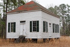 | Antioch Christian Church | building | 1977 | 77001212 |
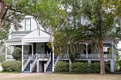 | Colding-Walker House | building | 1998 | 98000415 |
 | Erwin House | building | 1976 | 76001687 |
 | Gravel Hill Plantation | building | 1976 | 76001688 |
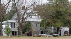 | Roselawn | building | 1976 | 76001689 |
 | Smyrna Baptist Church | building | 1976 | 76001691 |
| Williams House | building | 1999 | 99000104 | |
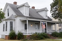 | Virginia Durant Young House | building | 1983 | 83002183 |
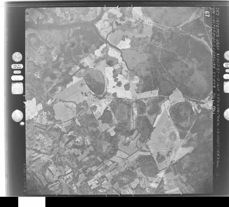
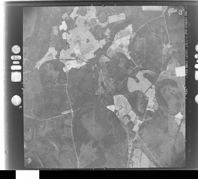
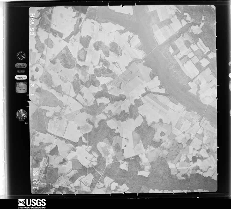
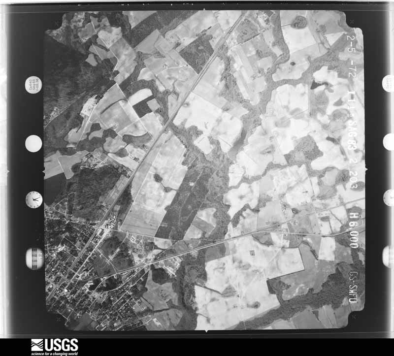
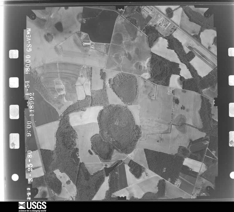
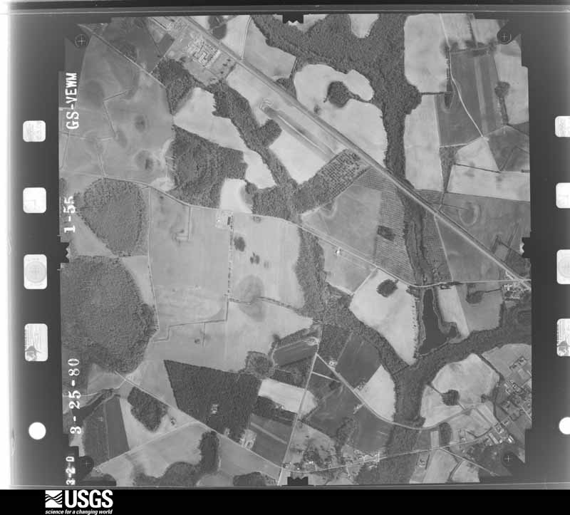
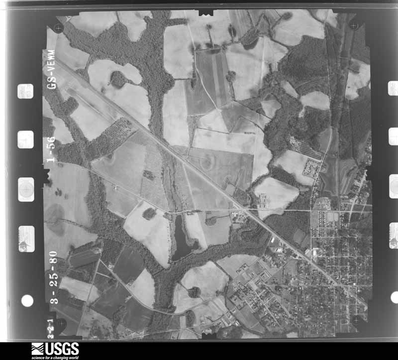
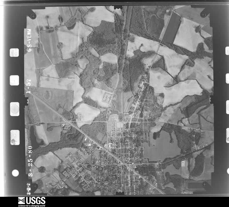
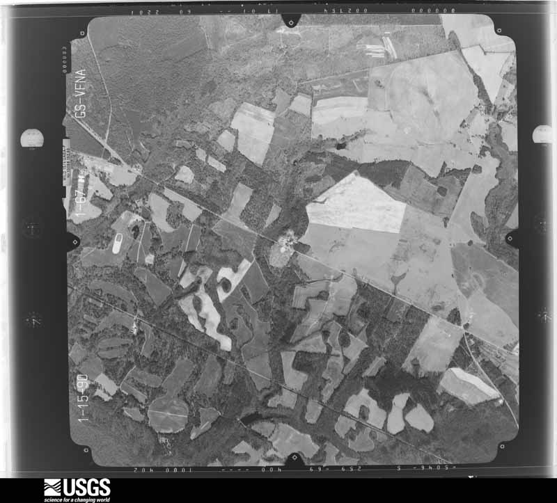
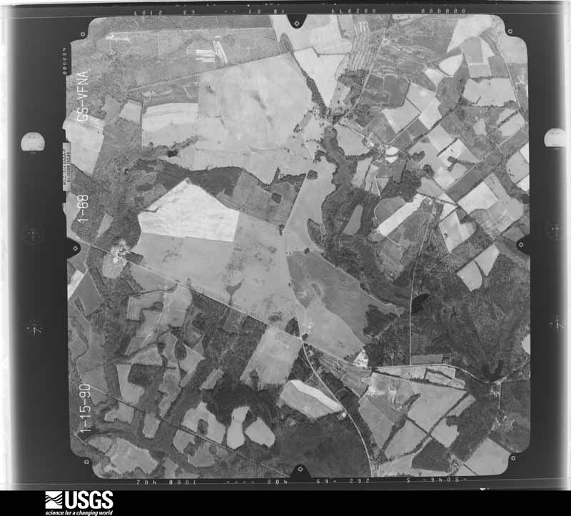
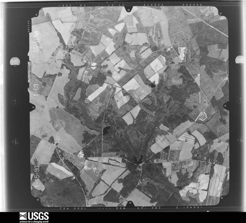
Flown by the U.S. Geological Survey between 1937 and 1989, the Aerial Photo Single Frames collection is the definitive mid-century view of the land: fields, roads and rivers as the camera saw them. The Survey holds 1,241 frames inside the rectangle that bounds this county; the 36 frames below were taken over the county itself, chosen across the decades of flights (at most four a year from that rectangle), so one flight cannot crowd out the rest. The full set is free to browse and download at EarthExplorer under the dataset Aerial Photo Single Frames.
















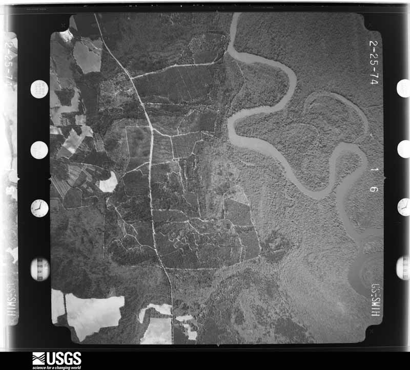
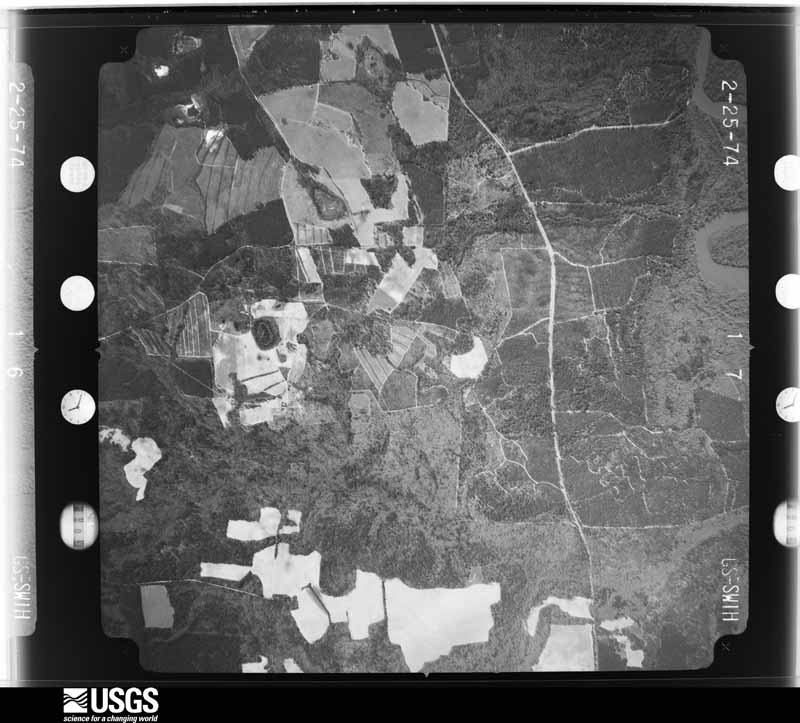

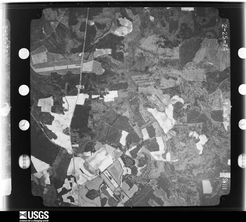

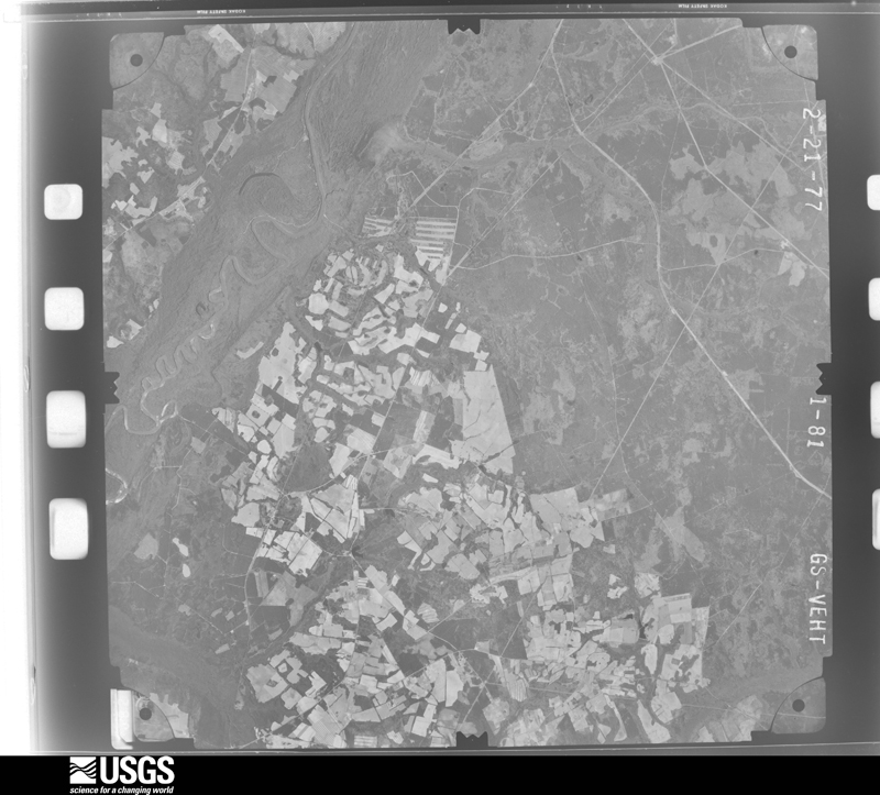



The thermometers that kept this county's weather, and the gages that measured the flow of its streams, as the federal records hold them. The extremes below are measured values from those records, not estimates.
Who lived here in 1950, one enumeration district at a time, as the Census Bureau described each district. Each row opens its official National Archives result, with Population Schedules and ED Maps available there.
Every wildfire the federal occurrence database records inside this county: 505 of them, burning about 3,410 acres. 43 started naturally and 107 were recorded as arson. Each settlement page carries the fires within five miles of it.
| Reported cause | Fires |
|---|---|
| Debris and open burning | 178 |
| Arson/incendiarism | 107 |
| Missing data/not specified/undetermined | 101 |
| Natural | 43 |
| Equipment and vehicle use | 38 |
| Smoking | 13 |
| Railroad operations and maintenance | 9 |
| Misuse of fire by a minor | 8 |
| Power generation/transmission/distribution | 3 |
| Other causes | 3 |
| Recreation and ceremony | 2 |
The five largest, by the area the report gives. Two of them were set deliberately.
| Date | Cause | Size | Reported by | Name on the report |
|---|---|---|---|---|
| 7 March 2012 | Railroad operations and maintenance | 285 acres | South Carolina Forestry Commission | not named |
| 8 March 2017 | Arson/incendiarism | 215 acres | South Carolina Forestry Commission | not named |
| 12 July 2000 | Natural | 172 acres | South Carolina Forestry Commission | not named |
| 3 February 2013 | Equipment and vehicle use | 97 acres | South Carolina Forestry Commission | not named |
| 18 March 2017 | Debris and open burning | 80 acres | South Carolina Forestry Commission | not named |
| 12 March 2009 | Arson/incendiarism | 79 acres | Savannah River Forest | TAIL FIRE |
| 31 July 2002 | Natural | 61 acres | South Carolina Forestry Commission | not named |
| 12 February 2009 | Debris and open burning | 60 acres | South Carolina Forestry Commission | not named |
Every settlement page carries the fires within five miles of it - see the settlement index below.
The NOAA Storm Events Database holds 256 reports for this county, causing 1 death, 7 injuries and about $5,251,500 in recorded property damage. Each settlement page carries the reports that name it.
| Kind of event | Reports |
|---|---|
| Thunderstorm Wind | 185 |
| Hail | 35 |
| Tornado | 20 |
| Flash Flood | 12 |
| Lightning | 3 |
| Heavy Rain | 1 |
The most serious of them, by death, then injury, then recorded damage. The accounts are quoted exactly as the forecast office filed them.
| When | Event | Place named | Harm | What the report says |
|---|---|---|---|---|
| September 2000 | Tornado (F2) | Martin | 1 killed, 5 hurt, $290,000 | Fatality occurred in a camper that was one of 10 other campers at a hunt club. The camper was the second one in the line and it appeared to have disintegrated. One of the other campers was turned on its side while the others remained upright, for the most part. Also, there were three mobile homes destroyed, major damage to two mobile homes, minor damage to six mobile homes and major damage to a frame home along with numerous trees down or snapped 10 to 15 feet above the ground. This tornado continued into Barnwell County in WFO Columbia's CWA. |
| September 2000 | Tornado (F1) | Martin | 1 hurt, $10,000 | Damage to a tin roof on a frame home, a hog feeder damaged, minor damage to several brick homes and several trees down. |
| April 2022 | Tornado (EF3) | Allendale Oswald Arp | 1 hurt | A National Weather Service Storm Survey Team confirmed an EF-3 tornado with an estimated maximum wind speed of 137 mph in Allendale County, South Carolina. The tornado touched down just north of the intersection of Bluff Road and Best Loop Road at 250 PM, then tracked rapidly northeast across Fitts Road and St. Mark Road, where it completely destroyed a few mobile homes, and injured one person. The mobile home damage in this area was sufficient to justify a low-end EF-3 rating. The tornado then continued to the northeast across Burton Road and Allendale-Fairfax Highway, where it produced significant damage to a building and many trees. From here, the tornado continued a path across Confederate Highway and then across the northern end of Sycamore, ending on the northeast side of Sycamore near Williams Road at 310 PM. Most of the damage around the Sycamore area was to trees, as well as minor damage to some structures. |
| March 2008 | Tornado (EF2) | Averill | $2,300,000 | An EF2 Tornado was confirmed by a storm survey conducted by the Charleston, South Carolina National Weather Service Forecast Office. The Tornado touched down in western Allendale County about 3.5 miles south-southwest of Martin at 712 PM EDT and traveled east-southeast for 18 miles before lifting about 2 miles northeast of Fairfax, South Carolina at 735 PM EDT. This Tornado uprooted or snapped off between 1500 and 2000 trees, destroyed two mobile homes, toppled a cell phone tower, produced mainly minor roof damage to many dozens of homes, knocked down numerous power lines and power poles, destroyed or severely damaged a couple dozen vehicles, destroyed several outbuildings, barns, and sheds, and overturned an empty tractor trailer along route 29 between Allendale and Seigling. The Tornado reached a maximum width of three quarters of a mile along route 29 between Allendale and Seigling. One injury occurred when a person drove a car into a tree that had fallen across the road. The maximum sustained winds in this EF2 Tornado were estimated between 115 and 125 mph. In addition to the Tornado Damage, there was sporadic straight line wind damage with estimated winds of up to 90 mph occurring up to a couple of miles south of the Tornado path. The straight line wind damage resulted in numerous downed trees and power lines, along with minor damage to homes and businesses especially in and around Allendale, South Carolina. |
| April 2009 | Tornado (EF2) | Baldock | $1,000,000 | A National Weather Service Survey Team determined a tornado touched down along Roberts Road 3.5 miles northeast of Martin, South Carolina at 1230 AM local time Saturday morning and traveled 5.6 miles before lifting. Initially the tornado uprooted or snapped numerous trees with one tree falling on a mobile home and damaging the roof of the structure. The under-skirting of the mobile home was peeled back by the winds and a couple windows were blown out. Additionally, several cars sustained damage by falling trees outside of the mobile home. Another couple homes along Roberts Road received minor rood damage and a couple carports were slightly damaged as well. The tornado continued to nearly parallel Miller Creek Road downing numerous trees and power lines. The maximum width of the tornado was approximately 500 yards near the intersection of Camp Jackson Road and Miller Creek Road. The tornado lifted 2.3 miles south southeast of Kline, South Carolina just past the intersection of Appleton Road and Barnwell Highway /US Highway 278/ at 1239 AM local time, but not before damaging the roof and cinder-block walls of a home, downing numerous trees and completely destroying the historic Cave Methodist Church. The church was wiped completely off its foundation. Several grave stones surrounding the church were overturned or knocked down. An 18 wheel truck was overturned a couple hundred feet from the Cave Methodist Church with a tree falling on it and causing further damage. In total, 4 homes, 1 mobile home, 1 church and 5 vehicles received damage as a result of the tornado. In addition, hundreds of acres of timber was damaged or destroyed. The tornado did not result in any injuries or fatalities. The National Weather Service Damage Survey Team determined the strength of the tornado to be an EF2 on the Enhanced Fujita Scale with winds estimated between 120 and 130 miles per hour. |
| April 2009 | Tornado (EF1) | Averill | $1,000,000 | A National Weather Service Storm Survey Team determined that a tornado touched down 2.1 miles north-northwest of Martin, South Carolina at 1226 AM Saturday Morning. The tornado traveled approximately 1.2 miles before lifting 1.8 miles north-northwest of Martin at approximately 1228 AM. There was significant tree damage throughout the path of the tornado, but no structures were damaged. The tornado did not result in any injuries or fatalities. The National Weather Service Damage Survey Team determined the strength of the tornado to be an EF1 on the Enhanced Fujita Scale with winds estimated to be around 100 miles per hour. The maximum damage width was 300 yards. |
| April 1965 | Tornado (F1) | not stated | $250,000 | no account filed |
| April 2009 | Thunderstorm Wind | Millett | $50,000 | A National Weather Service Damage Survey Team determined tree damage found 2.4 miles northeast of Millet, South Carolina was caused by a thunderstorm microburst. Peak winds were estimated to be around 60 mph. |
| June 2011 | Thunderstorm Wind | Ulmers | $25,000 | A fire department reported 25 trees down on a property. A tractor shed was also damaged. |
| April 2007 | Thunderstorm Wind | Appleton | $25,000 | A large tree fell on a house near Appleton. |
| April 1999 | Tornado (F1) | Allendale | $25,000 | Roof damage to several buildings, numerous trees and powerlines down. |
| July 2013 | Flash Flood | Ulmers | $20,000 | Several bridges were under water from creeks overspilling their banks. Several cars stranded. |
| July 2015 | Lightning | Barton | $15,000 | Allendale County dispatch reported a house fire started by a lightning strike in the 6700 block of Bluff Road. |
| July 2013 | Flash Flood | Cave | $15,000 | Three vehicles were washed off of Highway 278, near McMillian Memorial Road. |
| July 2010 | Thunderstorm Wind | Allendale | $15,000 | The Allendale county Emergency Manager reported a tree down and through the roof of a mobile home on Fig Lane in Allendale, South Carolina. |
| July 2010 | Lightning | Allendale | $15,000 | The Allendale county Emergency Manager reported two homes were caught on fire by lightning strikes in Allendale, South Carolina. One home was located on Burton Ferry Highway with damage resulting from the fire. The other home was located on Christian Estate with little to no damage. |
| July 2013 | Flash Flood | Cave | $10,000 | A House was flooded along Highway 278, near McMillian Memorial Road. |
| July 2012 | Thunderstorm Wind | Millett | $10,000 | The Allendale Emergency Manager reported several large trees and power lines down near the intersection of Highway 125 and Millett Road. One tree fell on a tanker. |
| November 2011 | Thunderstorm Wind | Allendale | $10,000 | The Allendale County Warning Point reported numerous trees and power lines down on Barton Road, Citadel Street and Blanton Road in Allendale. |
| June 1995 | Thunderstorm Wind | Countywide | $10,000 | Trees down throughout county. |
| June 2009 | Thunderstorm Wind | Allendale Co Arpt | $7,000 | The Allendale County Emergency Manager reported an old shed was destroyed off Concord Church Road, near Allendale, South Carolina. |
| July 2013 | Flash Flood | Seigling | $5,000 | Emergency Manager reported that the Don Houck Pond breached and flood waters have spilled over Breezie Hill Road, portions of Highway 301, Mount Calvary Road, Tutens Pond Road, Williams Road, Long Pond Road and Concord Church Road were all impassable due to debris in the roads. |
| June 2009 | Thunderstorm Wind | Martin | $5,000 | The Allendale County Emergency Manager reported trees and power lines down in several locations near the town of Martin, South Carolina. |
| June 2009 | Thunderstorm Wind | Seigling | $5,000 | The Allendale County Emergency Manager reported several trees down along Highway 278, one of which fell on a shed. |
| May 2008 | Thunderstorm Wind | Allendale | $5,000 | Numerous trees were reported down in various locations in and around Allendale, South Carolina. |
| July 2008 | Thunderstorm Wind | Martin | $5,000 | Numerous trees and power lines were reported down in Martin, South Carolina. |
| August 2007 | Thunderstorm Wind | Millett | $5,000 | Trees and power lines were reported down between Martin and Millett. |
| August 2007 | Thunderstorm Wind | Fairfax | $5,000 | Several trees reported down in and around Fairfax. |
| July 1995 | Thunderstorm Wind | Allendale | $5,000 | Trees and powerlines downed by wind. |
| July 1995 | Thunderstorm Wind | Allendale | $5,000 | Thunderstorms accompanied by hail and strong winds moved across central, eastern and southern South Carolina during the afternoon and evening causing considerable but mostly minor damage. Fallen trees closed Lightwood Knot Road in southern Lee County, trees and large limbs blown down in Clarendon, Lee and Orangeburg Counties. |
| June 2011 | Thunderstorm Wind | Allendale | $4,500 | A county official reported trees and power lines down in various locations in Allendale County. |
| July 2010 | Thunderstorm Wind | Fairfax | $4,000 | The Allendale county Emergency Manager reported a tree down along 6th Street behind the IGA Super Market, another tree down near the intersection of 5th Avenue and Aiken Avenue, and both trees and power lines down near the intersection of Highway 278 and Aiken Avenue in Fairfax, South Carolina. |
| July 2008 | Thunderstorm Wind | Allendale | $3,500 | Seven trees were reported down across the town of Allendale, South Carolina. |
| April 2013 | Thunderstorm Wind | Millett | $3,000 | Spotter reported several trees blown across Holly Road. |
| November 2011 | Thunderstorm Wind | Sycamore | $3,000 | A National Weather Service employee reported several trees down along Highway 301, 3 miles northwest of Sycamore. |
| September 2011 | Thunderstorm Wind | Barton | $3,000 | The Allendale county 911 Dispatch center reported trees and power lines down on Bluff Road, 4 miles west-northwest of Barton, South Carolina. |
| September 2011 | Thunderstorm Wind | Allendale | $3,000 | The Allendale county 911 Dispatch center reported trees and power lines down on Bostick Road, 3 miles south of Allendale, South Carolina. |
| July 2007 | Thunderstorm Wind | Sycamore | $3,000 | Trees and Power Lines were reported down in Sycamore. |
| February 2007 | Thunderstorm Wind | Allendale | $3,000 | Strong thunderstorm winds uprooted or snapped off a few trees and broke off large tree limbs in several locations from 1 mile south of Allendale to 1.5 miles northeast of Sycamore. The damage 1.5 miles northeast of Sycamore occurred around 1912 EST. |
| February 2007 | Tornado (EF1) | Allendale | $3,000 | A tornado developed about 1 mile southeast of Allendale and traveled north-northeast about 60 yards before lifting. The tornado was about 30 yards wide and had maximum wind speeds estimated to be 90 mph. This puts the tornado in the low end of the F1 category. This tornado uprooted trees and damaged the skirting of a mobile home. |
| March 2013 | Thunderstorm Wind | Allendale Co Arpt | $2,250 | An emergency manager reported a tree down on two power lines. |
| March 2013 | Thunderstorm Wind | Allendale | $2,250 | An emergency manager reported a tree down on a mobile home. |
| August 2018 | Lightning | Allendale | $2,000 | An emergency manager reported minor damage to a county building. |
| June 2011 | Thunderstorm Wind | Allendale | $2,000 | Law enforcement reported large trees down at Highway 321 and Williams Road. |
| June 2011 | Thunderstorm Wind | Allendale | $2,000 | Law enforcement reported large trees down at Highway 125 and Bluff Road. |
| June 2010 | Thunderstorm Wind | Allendale Co Arpt | $2,000 | Law Enforcement reported a tree down on Highway 278 near the high school and a live powerline down on Feed Lot Road. |
| May 2006 | Thunderstorm Wind | Fairfax | $2,000 | Power lines down...trees down at 7th and Bay Shore. |
| May 2006 | Thunderstorm Wind | Fairfax | $2,000 | 2 large trees down in Fairfax. |
| May 2006 | Thunderstorm Wind | Allendale | $2,000 | Trees and power lines down along Highway 278 |
| July 2006 | Thunderstorm Wind | Allendale | $2,000 | 5 trees down in Allendale. |
| June 2006 | Thunderstorm Wind | Allendale | $2,000 | Large tree down on Bluff Road. |
| April 1999 | Tornado (F2) | Ulmers | $2,000 | An F2 tornado destroyed 20 acres of watermelons and rolled over a large tractor several times. Numerous trees and powerlines were down along the track. |
| April 2025 | Thunderstorm Wind | Fairfax | $1,000 | Broadcast media relayed a picture of a tree down between Brunson and Fairfax, South Carolina. |
| February 2020 | Thunderstorm Wind | Martin | $1,000 | Emergency management reported a tree down along Highway 125 in Martin, SC. |
| July 2013 | Flash Flood | Ulmers | $1,000 | Mount Calvary Road was closed due to flash flooding. |
| July 2013 | Flash Flood | Appleton | $1,000 | Concord Church Road was closed near Appleton Road due to flash flooding. |
| July 2013 | Flash Flood | Seigling | $1,000 | Concord Church Road was closed near Gadson Morris Road due to flash flooding.. |
| July 2013 | Flash Flood | Allendale | $1,000 | Emergency Manager reported several roads closed due to flash flooding. |
| June 2013 | Thunderstorm Wind | Barton | $1,000 | Allendale County communications reported a tree down on Terry Road near Barton Road. |
| June 2013 | Thunderstorm Wind | Barton | $1,000 | Allendale County communications reported a tree down on Terry Road near the Fairfax-Barton Highway. |
The Survey's mineral resources record lists 1 working inside this county. It is closed or unrecorded. Each settlement page carries the workings within five miles of it.
| Commodity | Workings |
|---|---|
| Sand and Gravel, Construction | 1 |
The least common of them first, because a county's hundredth gravel pit says nothing its first ten did not.
| Where | Site | Commodity | Status | Recorded |
|---|---|---|---|---|
| Unidentified Sand Pit | Sand and Gravel, Construction | Past Producer | Sedimentary |
Named settlements recorded in the Geographic Names Information System, each with the topographic sheets covering it. Villages, hamlets and abandoned places alike. Each is shown with the nearest named watercourse or landform and the survey quadrangle it falls on. The 1 place that was also surveyed for fire insurance comes first, with the number of atlases and photographs held for them.
Allendale census division · 29810 · Allendale quadrangle
15 sheets, 1919 to 1982
Fire insurance: 4 atlases
Millett census division · 29836 · On Furse Mill Creek · Millett quadrangle
16 sheets, 1920 to 1982
Allendale census division · 29810 · On Bentley Branch · Martin quadrangle
16 sheets, 1919 to 1982
Millett census division · 29836 · On Swift Gut · Millett quadrangle
16 sheets, 1920 to 1982
Allendale census division · 29810 · Barton quadrangle
15 sheets, 1920 to 1981
No longer a settlement
Fairfax census division · 29932 · By Cohens Bluff · Brier Creek Landing quadrangle
15 sheets, 1920 to 1981
Allendale census division · 29810 · On Stony Creek · Bull Pond quadrangle
15 sheets, 1920 to 1981
Allendale census division · 29810 · On Brier Creek · Bull Pond quadrangle
15 sheets, 1920 to 1981
Allendale census division · 29810 · On Gravel Hill · Bull Pond quadrangle
15 sheets, 1920 to 1981
No longer a settlement
Allendale census division · 29810 · On Smith Lake Creek · Bull Pond quadrangle
15 sheets, 1920 to 1981
Allendale census division · 29810 · On Brier Creek · Bull Pond quadrangle
15 sheets, 1920 to 1981
Millett census division · 29836 · On Swift Gut · Millett quadrangle
16 sheets, 1920 to 1982
Fairfax census division · 29827 · On Duck Branch · Barton quadrangle
15 sheets, 1920 to 1981
Allendale census division · 29836 · On Davis Branch · Martin quadrangle
16 sheets, 1919 to 1982
Sycamore census division · 29810 · Allendale quadrangle
15 sheets, 1919 to 1982
No longer a settlement
Allendale census division · 29810 · On Little Brier Creek · Bull Pond quadrangle
15 sheets, 1920 to 1981
Millett census division · 29836 · On Furse Creek · Millett quadrangle
16 sheets, 1920 to 1982
Fairfax census division · 29932 · On King Creek · Brier Creek Landing quadrangle
15 sheets, 1920 to 1981
Fairfax census division · 29932 · By Cohens Bluff · Brier Creek Landing quadrangle
15 sheets, 1920 to 1981
No longer a settlement
Fairfax census division · 29827 · Barton quadrangle
15 sheets, 1920 to 1981
No longer a settlement
Fairfax census division · 29932 · Solomons Crossroads quadrangle
15 sheets, 1920 to 1981
Millett census division · 29836 · On Brier Branch · Millett quadrangle
16 sheets, 1920 to 1982
Sycamore census division · 29827 · Sycamore quadrangle
15 sheets, 1919 to 1982
No longer a settlement
The vanished settlements of Allendale County: the places named above that are no longer on the map.
15 topographic sheets and 4 fire insurance atlases, 1910 to 1943