 Block
From the record
19 National Register listings published here.
Sources: the National Register database, National Park Service
37 topographic sheets and 11 fire insurance atlases across 2 places.
19 National Register listings published here.
Sources: the National Register database, National Park Service
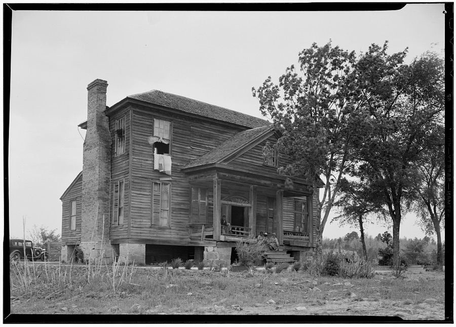
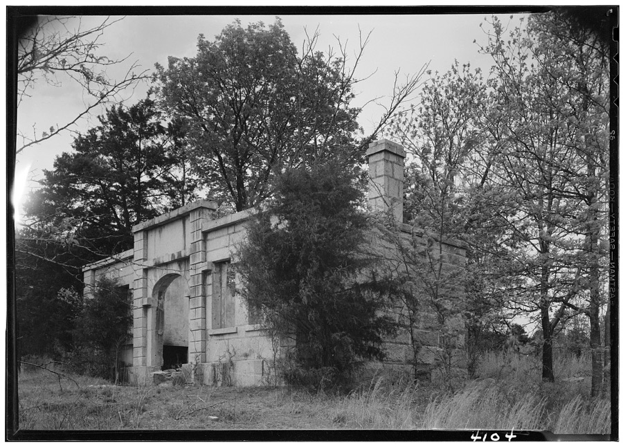
Taken for the Office of War Information and the Farm Security Administration, who photographed the country between 1935 and 1944. Works of United States government photographers, with no known restriction on use. Each opens its catalogue record.
Every property in this county listed on the National Register of Historic Places, with the year it was listed and the federal nomination document.
| Photograph | Property | Type | Listed | Reference |
|---|---|---|---|---|
 | Catholic Presbyterian Church | building | 1971 | 71000762 |
 | Chester City Hall and Opera House | building | 1973 | 73001704 |
 | Chester Historic District | district | 1972 | 72001203 |
| Chester Historic District (Boundary Increase) | district | 1988 | 87000684 | |
 | Colvin-Fant-Durham Farm Complex | district | 1992 | 92000961 |
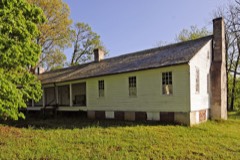 | Cornwell Inn | building | 1994 | 94000044 |
| Elliott House | building | 1971 | 71000764 | |
| Finley High School | building | 2025 | 100011403 | |
 | Fishdam Ford | structure | 1973 | 73001705 |
 | Great Falls Depot | building | 1980 | 80003664 |
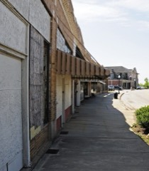 | Great Falls Downtown Historic District | district | 2000 | 00000588 |
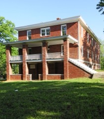 | Kumler Hall | building | 1983 | 83002190 |
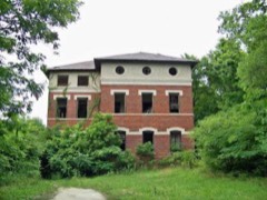 | Lando School | building | 2009 | 09000485 |
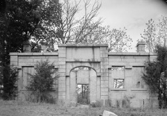 | Landsford Canal | structure | 1969 | 69000163 |
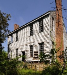 | Landsford Plantation House | building | 1987 | 86003520 |
 | Lewis Inn | building | 1971 | 71000763 |
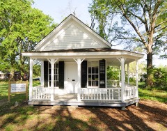 | People's Free Library of South Carolina | building | 1982 | 82001520 |
 | James Phinney House | building | 2016 | 16000714 |
 | Republic Theater | building | 1980 | 80003665 |
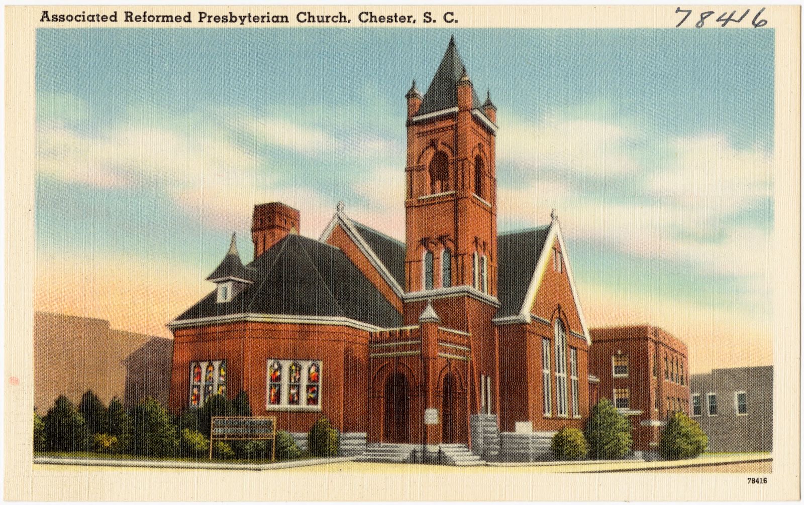
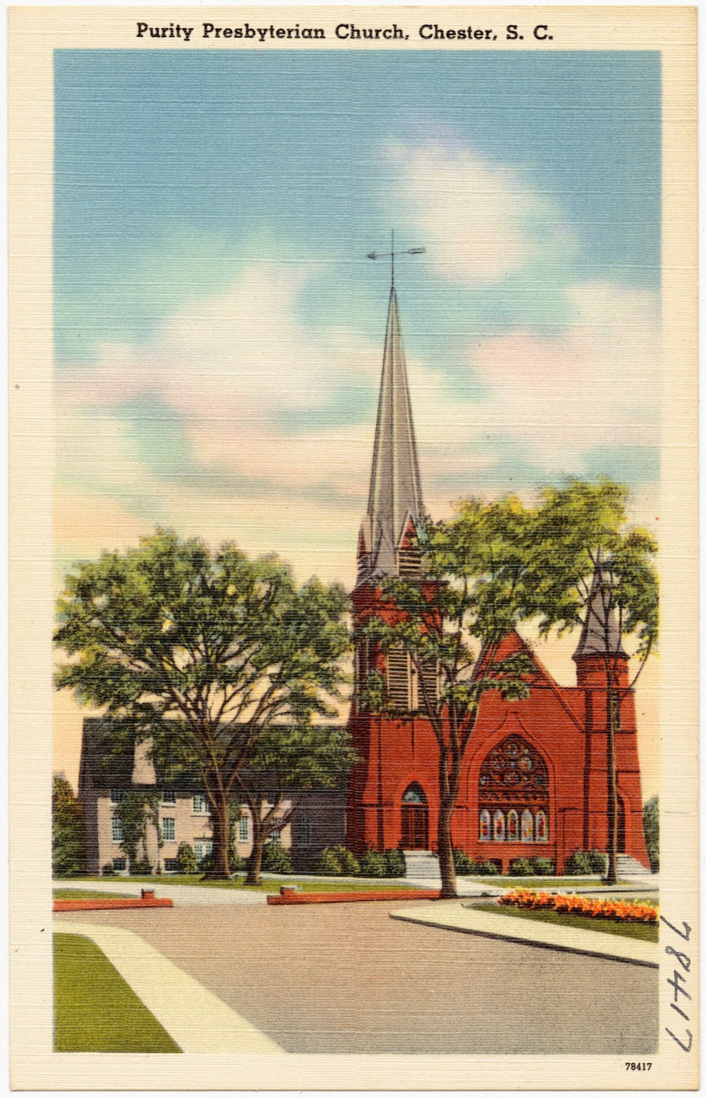
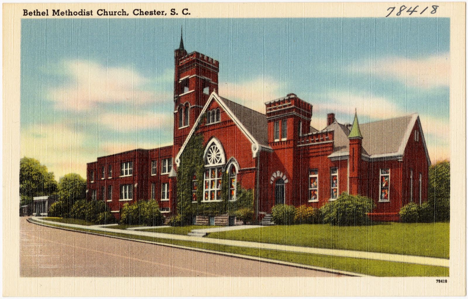
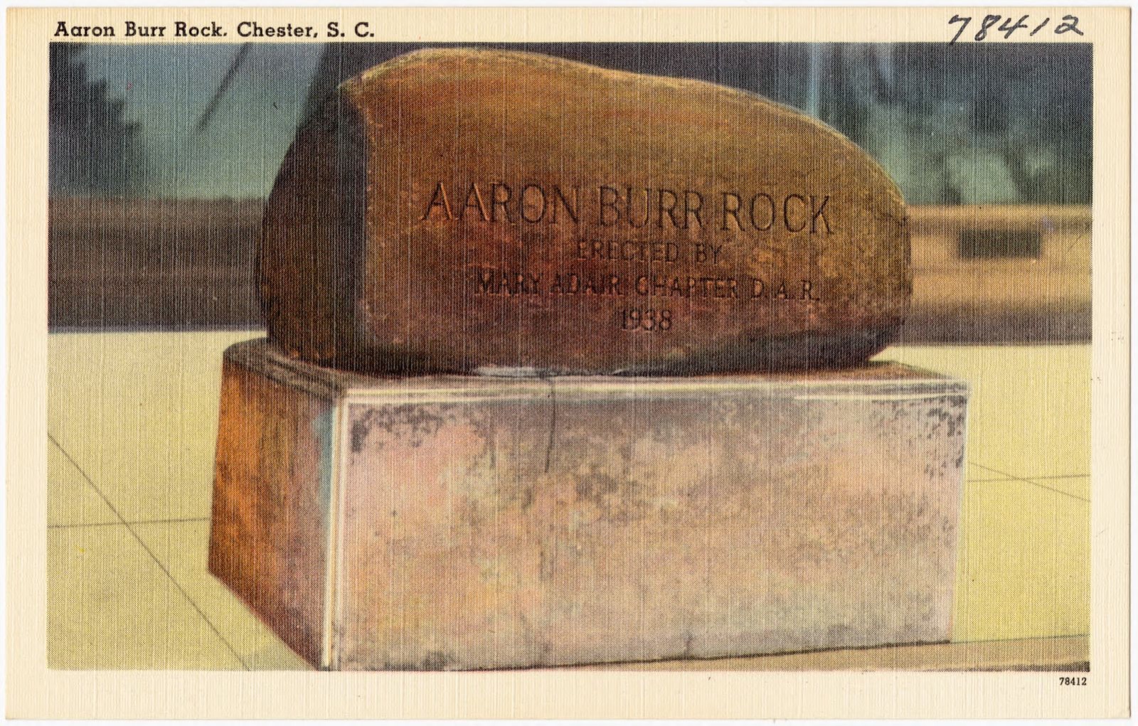
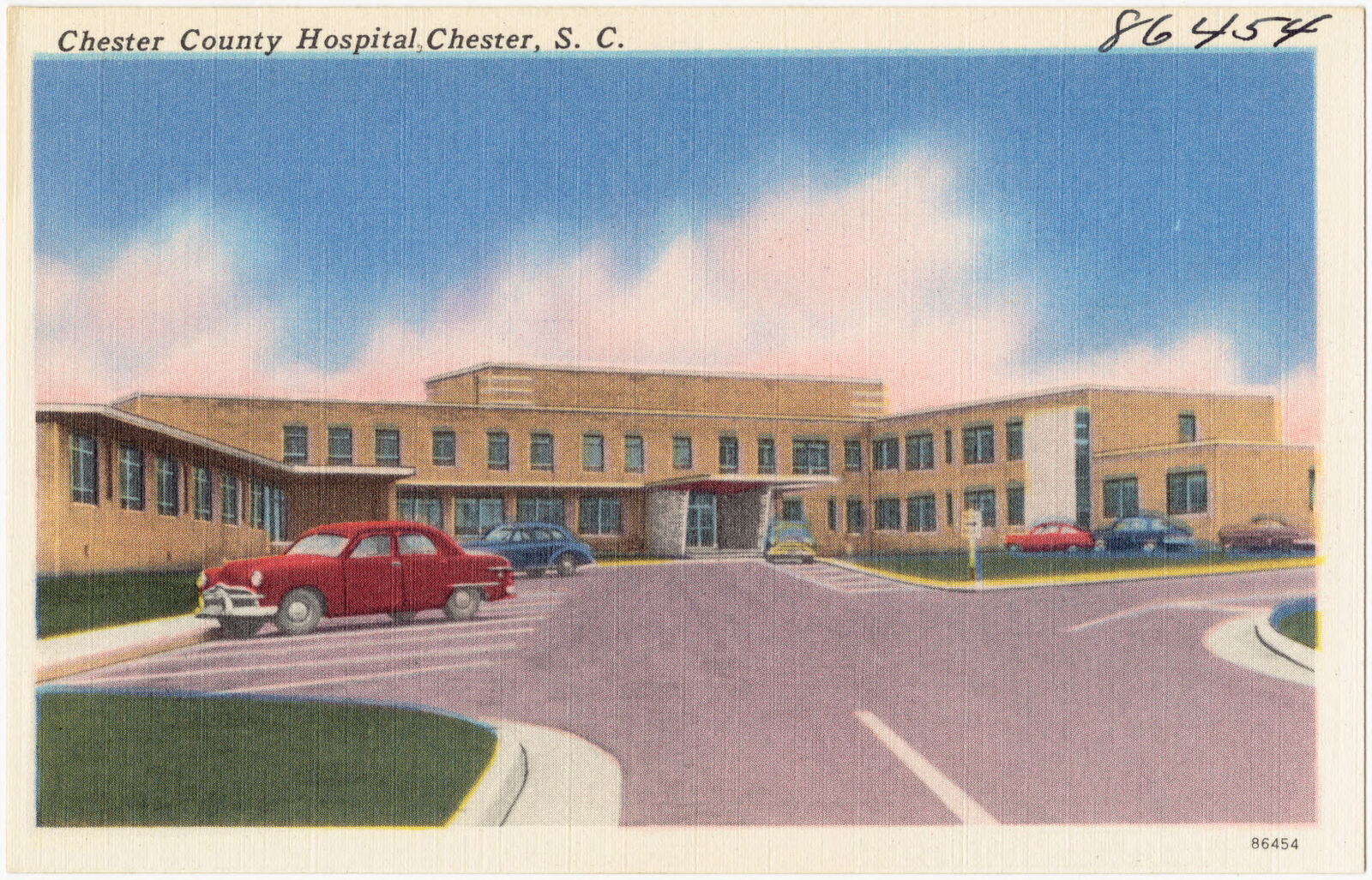
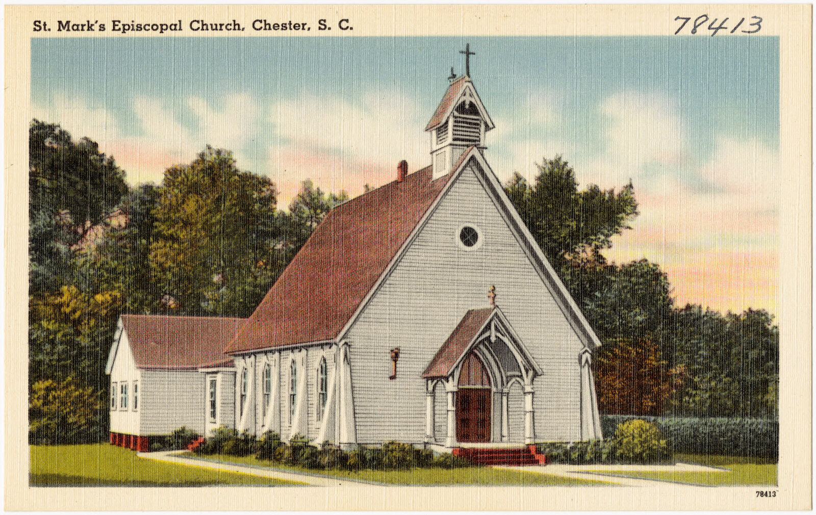
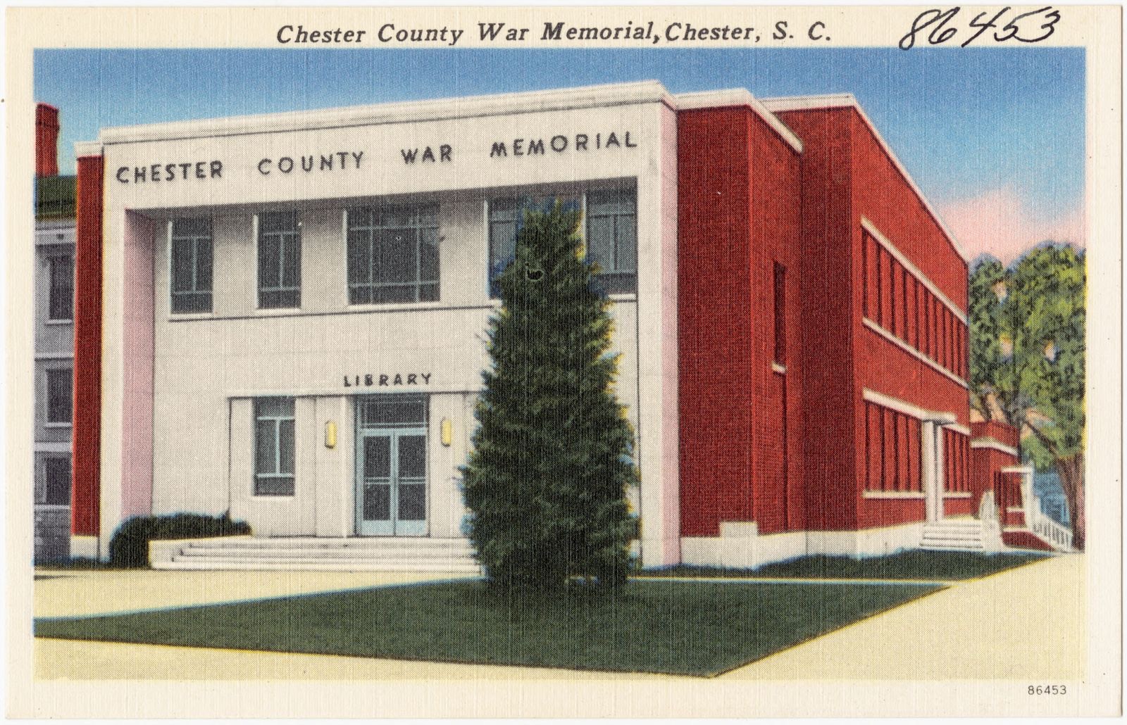
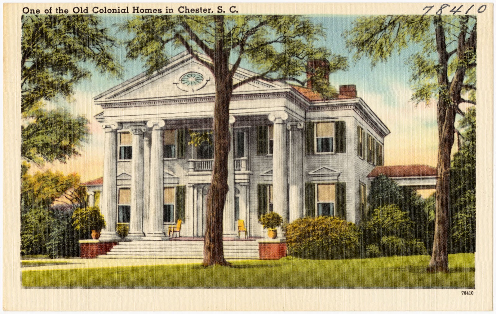
Selected from the Digital Public Library of America's 14 image records catalogued for this county. Every one shown here carries a public-domain status or a licence that permits reuse on a site that carries advertising; non-commercial, share-alike and restricted images are excluded. The selection is spread across the county's towns (at most eight per town), so no single institution's bulk upload crowds out the rest. Each opens the holding library's record, and the complete set at the Digital Public Library of America is one click away.
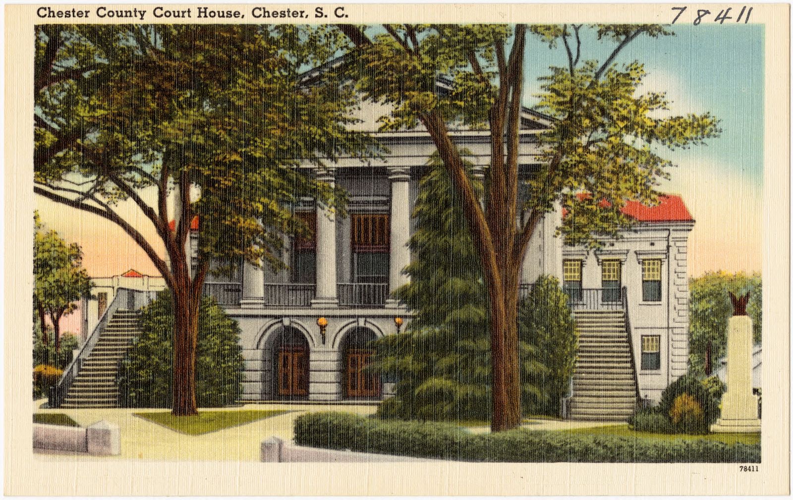
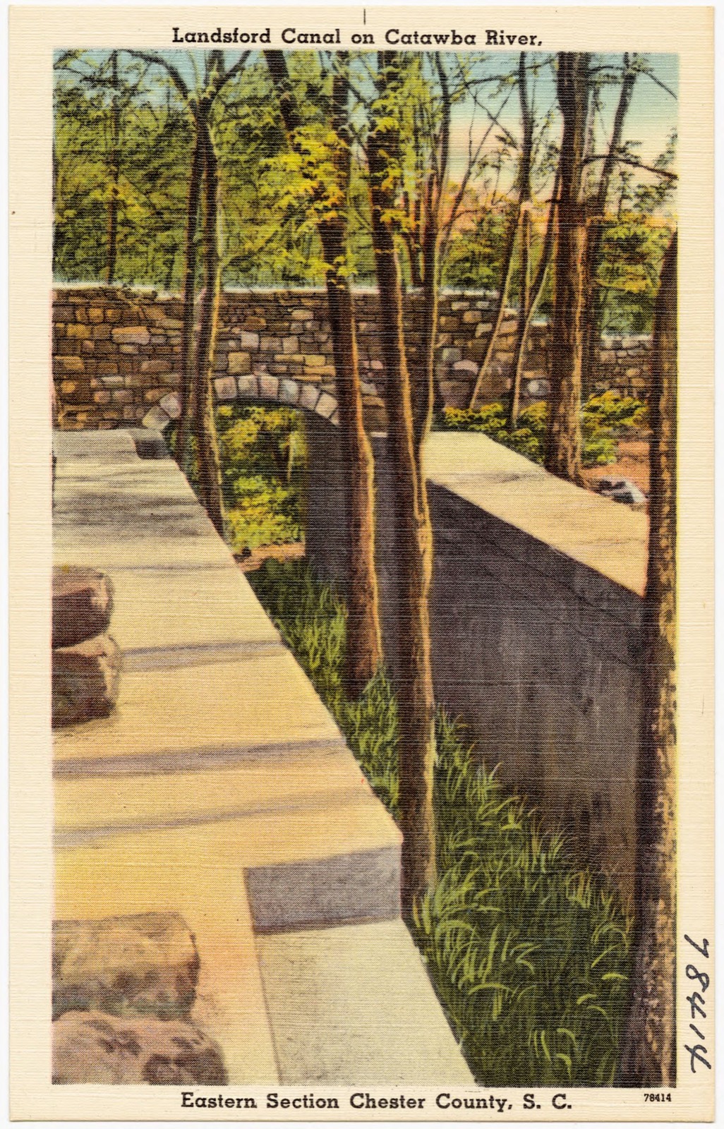
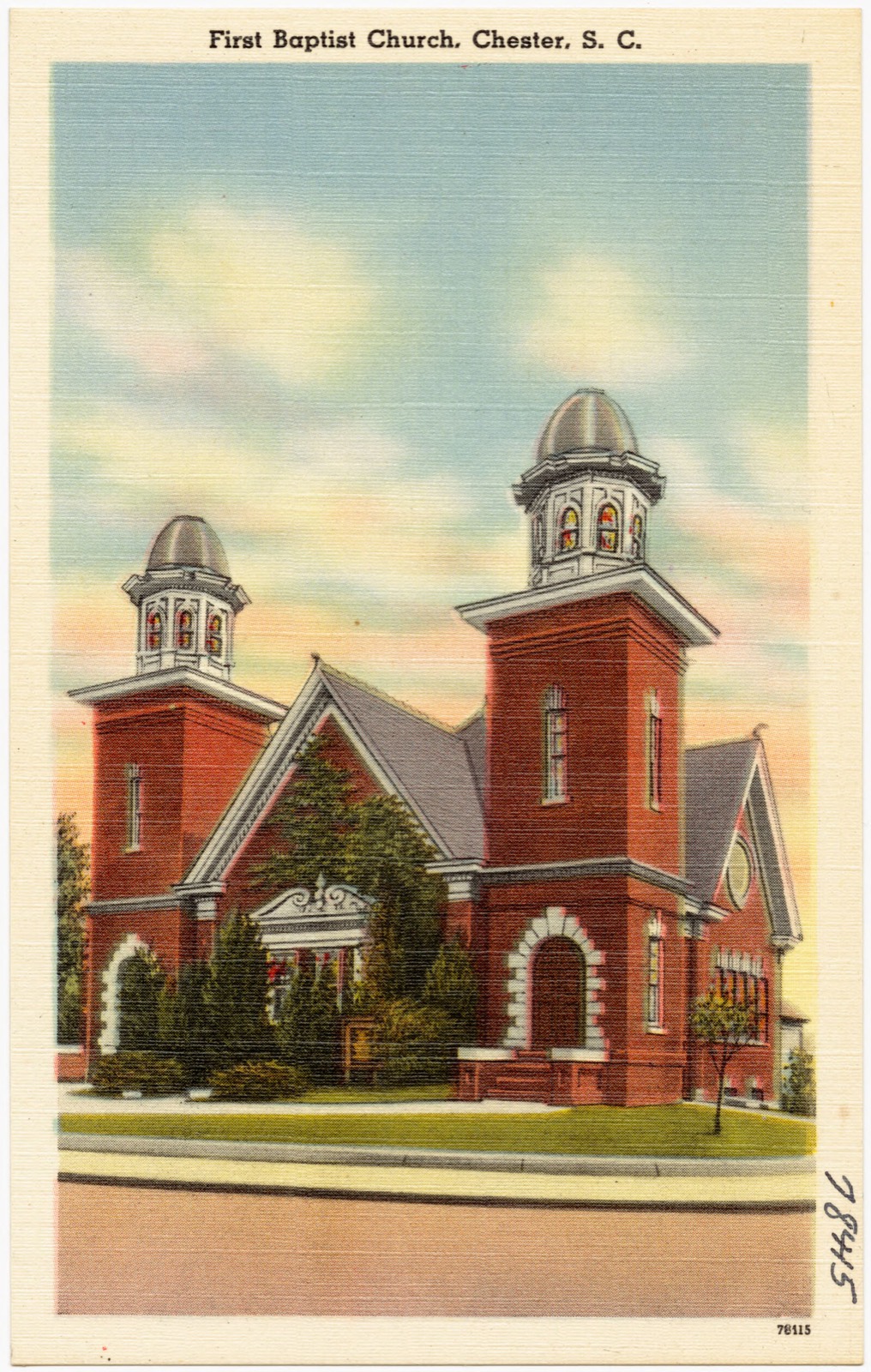
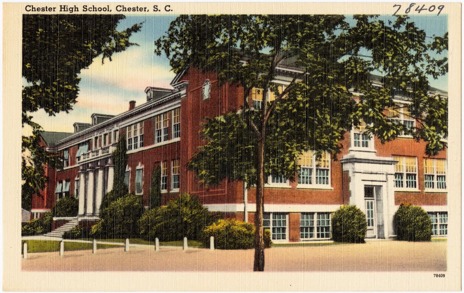
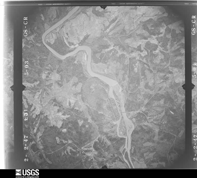
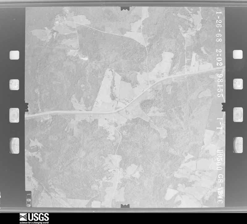
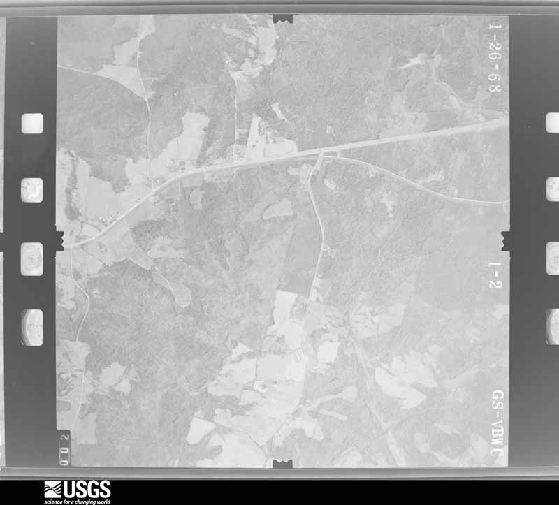
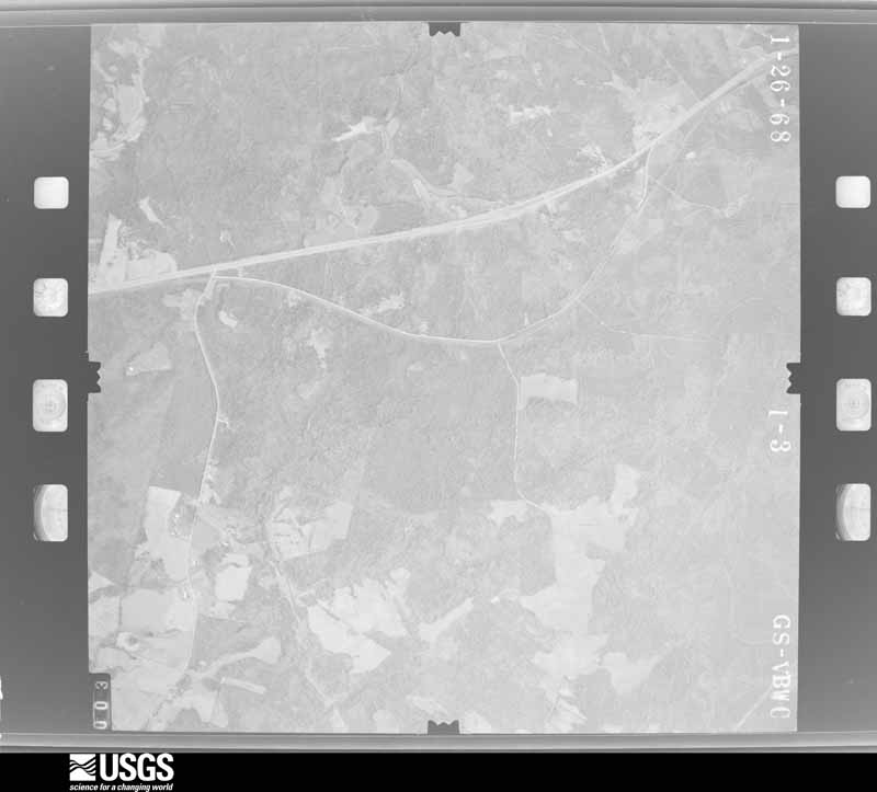
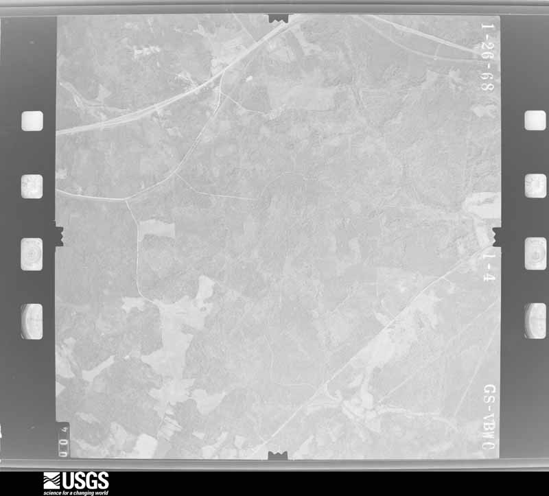
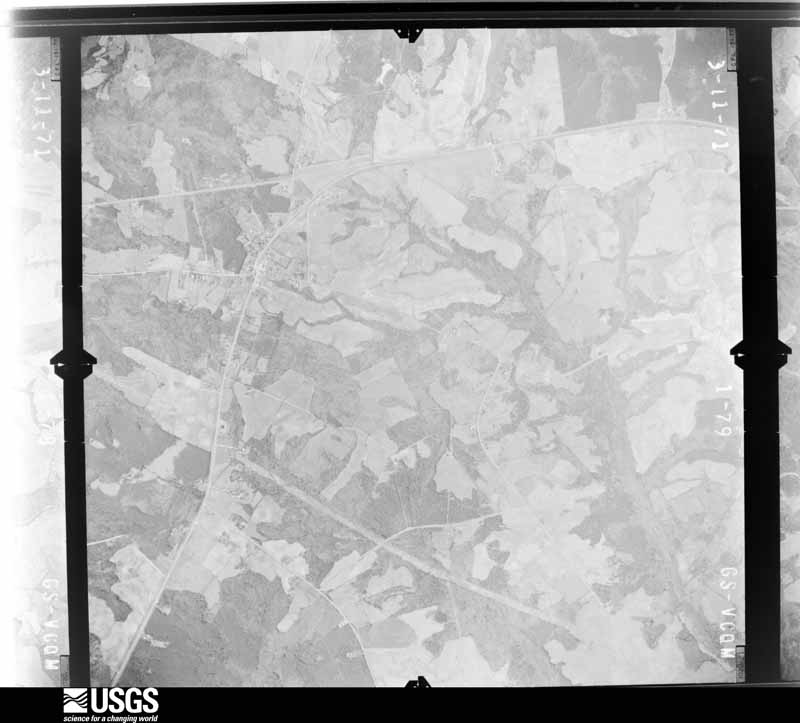
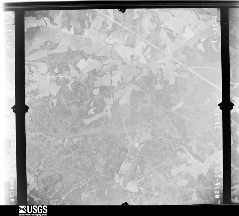
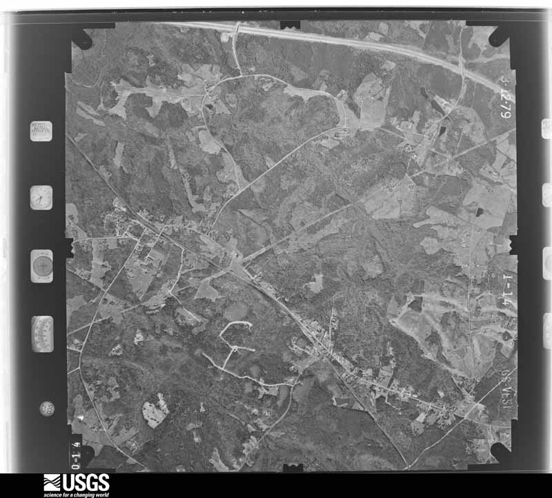
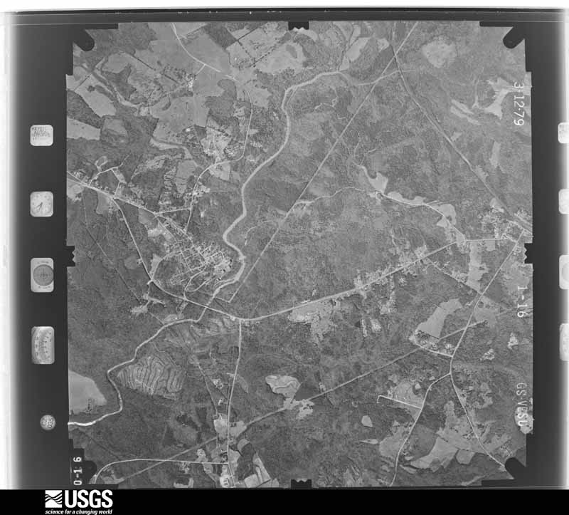
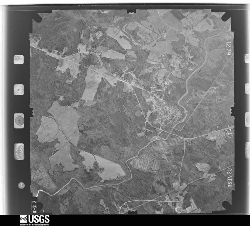
Flown by the U.S. Geological Survey between 1937 and 1989, the Aerial Photo Single Frames collection is the definitive mid-century view of the land: fields, roads and rivers as the camera saw them. The Survey holds 1,031 frames inside the rectangle that bounds this county; the 36 frames below were taken over the county itself, chosen across the decades of flights (at most four a year from that rectangle), so one flight cannot crowd out the rest. The full set is free to browse and download at EarthExplorer under the dataset Aerial Photo Single Frames.
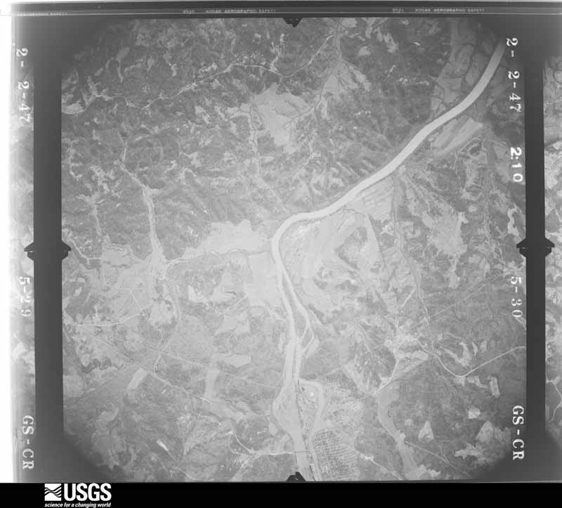

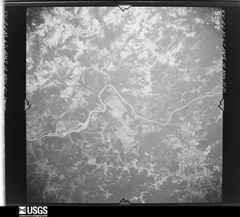

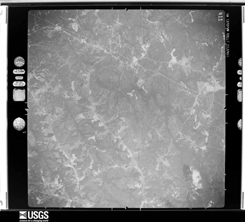
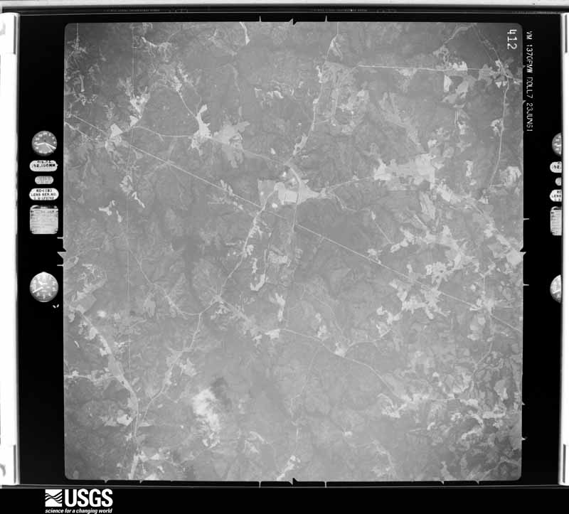

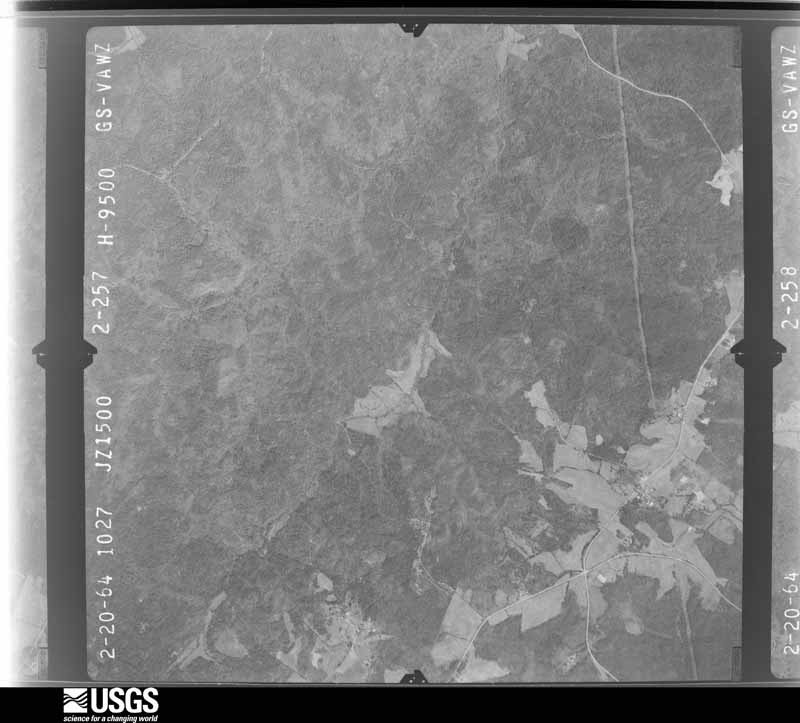
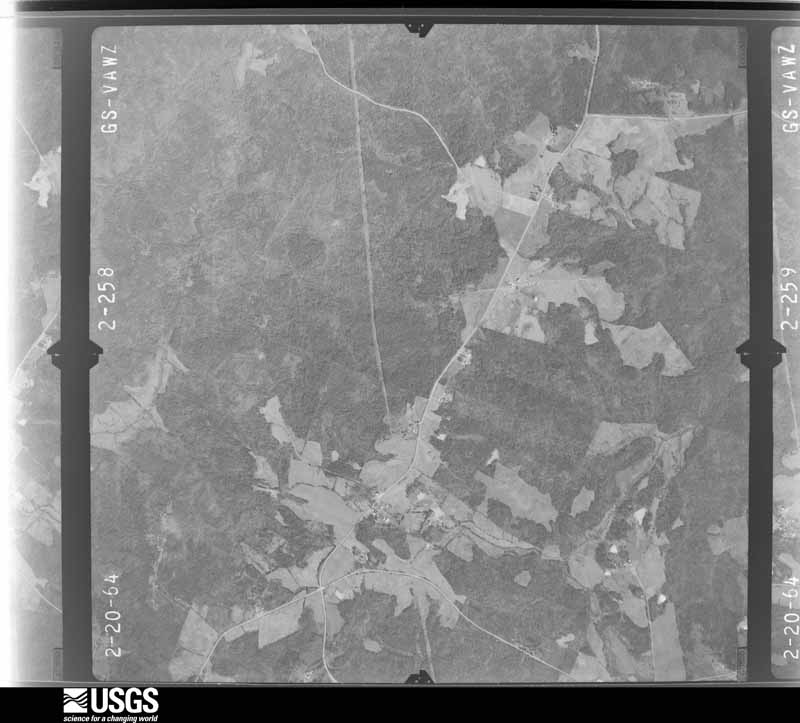
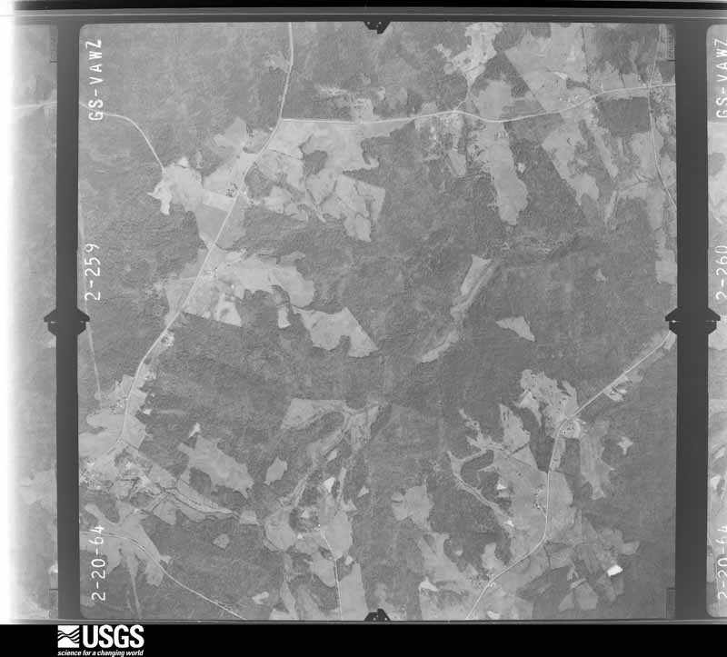
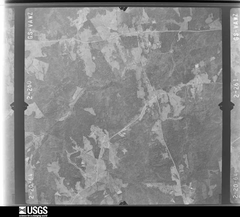
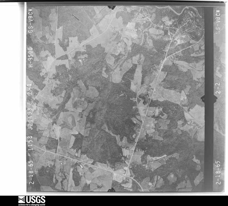
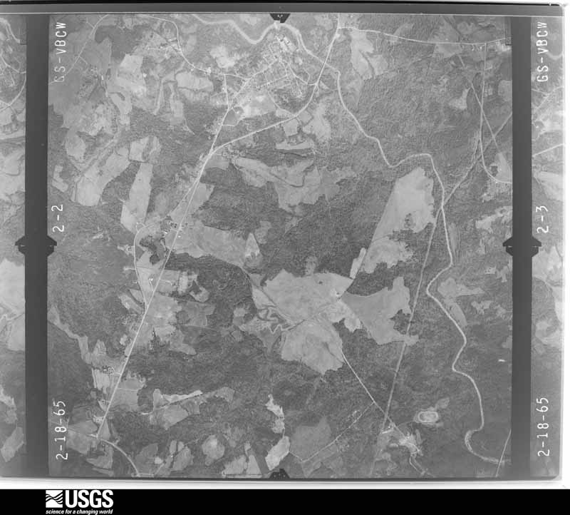
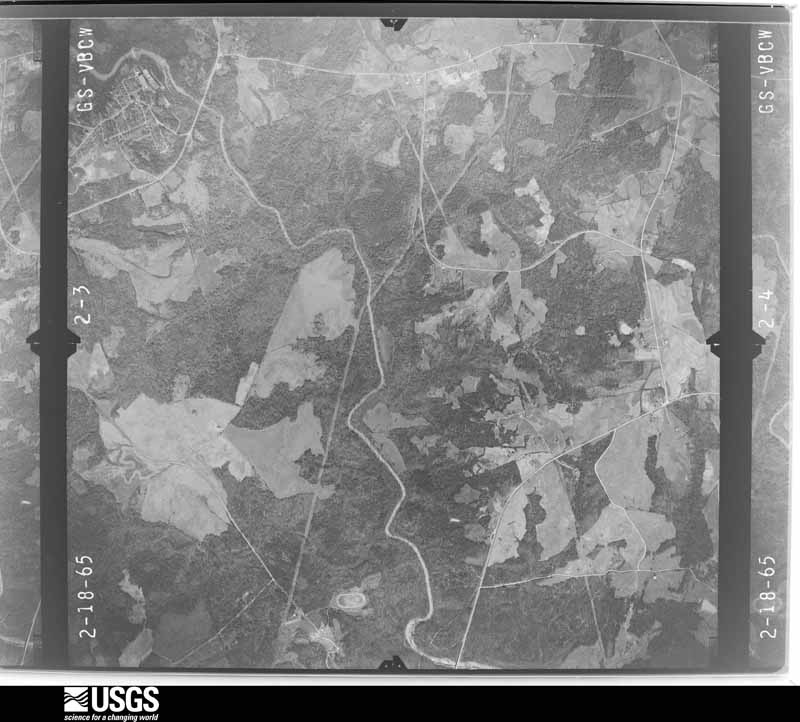
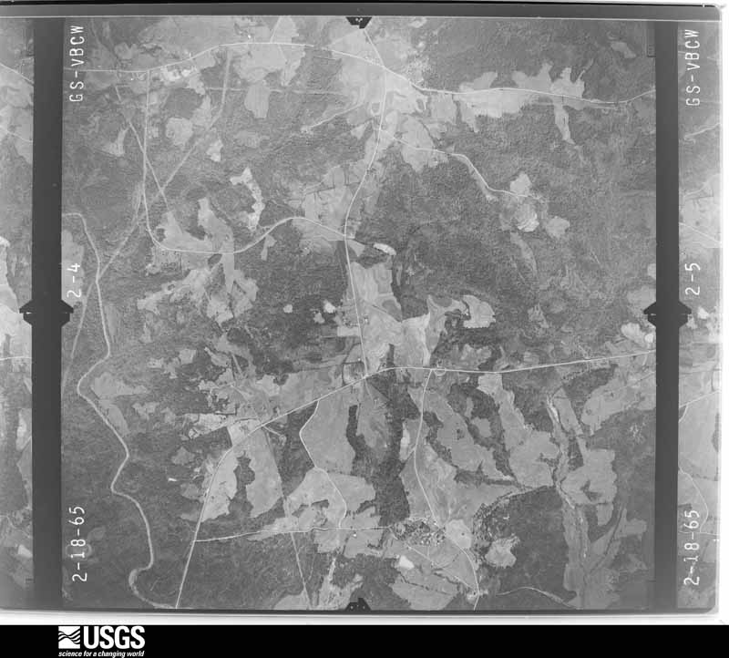











The thermometers that kept this county's weather, and the gages that measured the flow of its streams, as the federal records hold them. The extremes below are measured values from those records, not estimates.
Who lived here in 1950, one enumeration district at a time, as the Census Bureau described each district. Each row opens its official National Archives result, with Population Schedules and ED Maps available there.
Every wildfire the federal occurrence database records inside this county: 847 of them, burning about 3,755 acres. 34 started naturally and 70 were recorded as arson. Each settlement page carries the fires within five miles of it.
| Reported cause | Fires |
|---|---|
| Missing data/not specified/undetermined | 355 |
| Debris and open burning | 200 |
| Arson/incendiarism | 70 |
| Equipment and vehicle use | 70 |
| Railroad operations and maintenance | 44 |
| Natural | 34 |
| Misuse of fire by a minor | 27 |
| Smoking | 26 |
| Power generation/transmission/distribution | 9 |
| Recreation and ceremony | 6 |
| Other causes | 6 |
The five largest, by the area the report gives. None of them was recorded as arson.
| Date | Cause | Size | Reported by | Name on the report |
|---|---|---|---|---|
| 14 April 2001 | Debris and open burning | 175 acres | South Carolina Forestry Commission | not named |
| 26 March 2017 | Natural | 130 acres | South Carolina Forestry Commission | not named |
| 20 July 2015 | Natural | 90 acres | South Carolina Forestry Commission | not named |
| 22 May 2004 | Natural | 90 acres | South Carolina Forestry Commission | not named |
| 3 September 2007 | Debris and open burning | 84 acres | South Carolina Forestry Commission | not named |
| 25 February 2017 | Debris and open burning | 75 acres | South Carolina Forestry Commission | not named |
| 5 July 2002 | Natural | 70 acres | South Carolina Forestry Commission | not named |
| 25 June 1996 | Missing data/not specified/undetermined | 68 acres | South Carolina Forestry Commission | not named |
Every settlement page carries the fires within five miles of it - see the settlement index below.
The NOAA Storm Events Database holds 322 reports for this county, causing 2 deaths, 7 injuries and about $8,506,000 in recorded property damage. Each settlement page carries the reports that name it.
| Kind of event | Reports |
|---|---|
| Thunderstorm Wind | 195 |
| Hail | 94 |
| Tornado | 19 |
| Flash Flood | 7 |
| Heavy Rain | 3 |
| Flood | 2 |
| Funnel Cloud | 1 |
| Lightning | 1 |
The most serious of them, by death, then injury, then recorded damage. The accounts are quoted exactly as the forecast office filed them.
| When | Event | Place named | Harm | What the report says |
|---|---|---|---|---|
| April 1994 | Tornado (F2) | Lowrys | 1 killed, 4 hurt, $5,000,000 | A short-lived, but intense, mesocyclone developed along a squall line ahead of a cold front at about 0045 EST and moved into western Chester County. The mesocyclone intensified within a matter of 10 to 20 minutes into a F2 tornado that touched down four miles southwest of Lowrys and moved four miles to near Lowrys before dissipating. Three mobile homes completely disintegrated, three barns crushed, a new pickup truck was completely destoyed, four mobile homes were damaged, four people were injured (one seriously) and another killed. More than 2000 residents lost electrical power due to the tornado. F64M. |
| May 2020 | Lightning | Chester | 1 killed | County comms reported a 32-year-old man was struck and killed by lightning when getting out of his vehicle on York St. |
| June 1994 | Thunderstorm Wind | west of Pageland | 1 hurt, $50,000 | A woman near Pageland talking on the phone was injured by lightning, and several trees down. A mobile home was overturned by the wind injuring the occupant. A nearby shop building was heavily damaged by the wind. |
| July 1997 | Flash Flood | Ft Lawn | 1 hurt, $43,000 | no account filed |
| June 1989 | Thunderstorm Wind | not stated | 1 hurt | no account filed |
| April 1981 | Tornado (F1) | not stated | $2,500,000 | no account filed |
| April 2025 | Thunderstorm Wind | Ft Lawn | $100,000 | Emergency manager reported multiple trees blown down, some falling on homes, with damage to nine structures along Edwards Rd, River Rd, and connecting streets. |
| May 2020 | Tornado (EF1) | Beckhamville | $100,000 | NWS storm survey found a second tornado developed across southeast Chester County, beginning along Old Catholic Church Rd, a little over a mile south of Highway 97, or just west of I-77. The tornado initially moved east, crossing Interstate 77, and downing trees and snapping large limbs across Mountain Gap Road, Ross Dye Road and Georgetown Road, before turning southeast. The tornado crossed Highway 21 into the town of Great Falls and produced additional tree damage along Walnut Street, Hampton Street, Duke Street, and Republic Street. A house on Republic St received significant damage from a fallen tree. The tornado moved over the Catawba River southeast of Great Falls, crossing Big Island and Pickett Island before moving into southwest Lancaster County, where the tornado strengthened. |
| September 2004 | Tornado (F1) | Chester | $100,000 | This brief tornado blew down several trees and damaged or destroyed 2 small trailers shortly after touching down. It then moved north and lifted a portion of the roof from a well-constructed home. The garage wall was blown inward about 1 foot at this same location. A carport next to the home was also detroyed. Several trees were blown down and a small trailer destroyed at a hunting club before the tornado lifted. |
| March 1996 | Thunderstorm Wind | Chester | $100,000 | no account filed |
| July 2005 | Thunderstorm Wind | Chester | $75,000 | Two outbuildings were destroyed and a cinderblock well house was damaged at Dixie Stockyard along highway 21 near the York Co line. Shingles were torn off a house and a resteraunt on the premises. Two trees were blown down in this area, including a large oak tree that fell on and heavily damaged a vacant house. |
| February 2020 | Flash Flood | Leeds | $50,000 | Newspaper reported multiple streams overflowed their banks, inundating, and in some cases washing out multiple roads in western Chester County after up to 5 inches of rain fell in 24 hours, with much of that falling during the morning and early afternoon of the 6th. |
| July 2013 | Flash Flood | Ft Lawn | $50,000 | Main Street and Church Streets were flooded in Fort Lawn. Water entered the Fort Lawn Methodist Church and the Fort Lawn fire department. The church sustained significant flood damage. Reaves Creek also flooded Shirley Road just outside of town. A couple dirt roads in the area were also washed out, including Harbor House Drive near the Catawba River. |
| June 1995 | Thunderstorm Wind | Chester | $45,000 | no account filed |
| June 2024 | Thunderstorm Wind | Lando | $25,000 | A storm survey performed by NWS Columbia found straight line wind damage across eastern Chester County from Richburg and Fort Lawn to Great Falls. Other than numerous trees blown down (including trees that blocked I-77), a couple of gas station awnings were flipped in Fort Lawn and in Great Falls. The awning in Fort Lawn landed on a vehicle. |
| May 2020 | Tornado (EF1) | Mc Keown | $25,000 | NWS storm survey found the path of an EF1 tornado that touched down just off Highway 321 near Gregory Rd. The tornado initially moved east/southeast crossing Old Columbia Rd and Ross Rd but turned in a more southeasterly direction between Ross Rd and Boyd Rd. Numerous trees were snapped or uprooted and large limbs snapped in this area. Structural damage was confined to some siding stripped off a home on Old Columbia Rd. The tornado continued to cause primarily tree damage as it moved across Boyd Rd and Aiken Chapel Rd although a mobile home was moved off its foundation and received moderate roof damage on Aiken Chapel Rd. The tornado continued southeast before lifting in the area around Discovery Rd. However another tornado later developed about 5 miles southeast of this location. |
| September 2004 | Thunderstorm Wind | Great Falls | $25,000 | Two tractor trailers flipped over on I-77 when the drivers lost control due to strong winds. |
| August 2000 | Thunderstorm Wind | Lowrys | $25,000 | Numerous trees were downed and a store sustained roof and wall damage. |
| April 2017 | Thunderstorm Wind | Baldwin Mills | $20,000 | EM reported part of the roof was blown off a bank on Church St and metal roofing removed from a building on Beltline Rd. Numerous trees were also blown down across the city. |
| November 2011 | Tornado (EF1) | Dinber | $20,000 | This tornado initially touched down in a rural area of extreme northern Chester County, near the Lowrys community, just west of Darby Rd. The open farmland in this area made it difficult to follow the track, but several trees were blown down and part of the roof was removed from a home. The tornado traveled northeast, across Darby Rd before crossing into York County. |
| January 2007 | Thunderstorm Wind | Lowrys | $20,000 | Several pine trees were blown down and minor roof damage was reported to several homes along George Bridge Rd and Thompson Quarters Rd in extreme northwest Chester County. One tree fell on and destroyed a barn. |
| May 1996 | Tornado (F1) | Richburg | $20,000 | no account filed |
| April 2001 | Thunderstorm Wind | Chester | $15,000 | no account filed |
| September 1998 | Thunderstorm Wind | Great Falls | $15,000 | no account filed |
| July 1997 | Tornado (F1) | Ft Lawn | $15,000 | no account filed |
| January 2020 | Thunderstorm Wind | Baton Rouge | $10,000 | Emergency manager reported numerous trees blown down near Highway 9 in western Chester County, including on Baton Rouge Rd, West Chester School Rd, and Slick Rock Rd. Trees were down on a couple of structures in this area. |
| July 1999 | Thunderstorm Wind | Lowrys | $10,000 | no account filed |
| June 2015 | Thunderstorm Wind | Ft Lawn | $7,000 | HAM radio operator and newspaper reported multiple trees down in Fort Lawn. One large tree fell on a vehicle on Diamond Ln. Another fallen tree caused minor damage to a home and destroyed an outbuilding. |
| June 2022 | Thunderstorm Wind | Edgemoor | $5,000 | Public reported a large tree fell on a truck traveling along Harmony Baptist Church Rd. |
| March 2021 | Thunderstorm Wind | Richburg | $5,000 | Emergency manager reported a section of roof torn off a mobile home on Old Mill Rd. |
| July 2005 | Thunderstorm Wind | Great Falls | $5,000 | Numerous trees and power lines down. At least 1 home was damaged by a fallen tree. |
| May 2003 | Thunderstorm Wind | Chester | $5,000 | Trees were blown down. One tree fell on a car. |
| May 1995 | Tornado (F0) | Chester 9 WNW | $5,000 | Small tornado touched down nine miles west-northwest of Chester on Prospect Church Road. It deroofed a barn, completely destroyed a small metal building and scattered its contents over a several hundred yard area. |
| July 2005 | Thunderstorm Wind | Chester | $3,000 | Numerous trees snapped off and uprooted around highway 97 northwest of Chester. In addition, some storage buildings were picked up and tossed about 50 feet. The damage was concentrated along a 2 to 3 mile long, one half mile wide swath. A home in the area received some damage to a chimney and an antenna. |
| May 1975 | Tornado (F1) | not stated | $2,500 | no account filed |
| April 1955 | Tornado (F1) | not stated | $2,500 | no account filed |
| March 2002 | Flood | Chester | $2,000 | Torrential rainfall caused local flooding in Chester. Water entered at least 2 homes within a low-lying area of town. |
| March 2017 | Thunderstorm Wind | Great Falls | $1,000 | EM reported metal sheeting was ripped from a building in Great Falls. |
| May 2004 | Thunderstorm Wind | Ft Lawn | $1,000 | Power lines were blown down. |
| June 2003 | Thunderstorm Wind | Chester | $1,000 | A large tree was blown onto part of a house, causing relatively minor damage. |
| March 2002 | Thunderstorm Wind | Lowrys | $1,000 | Several trees and a power line were reported blown down. |
| May 2002 | Thunderstorm Wind | Chester | $1,000 | Trees and powerlines were blown down. |
| April 2002 | Thunderstorm Wind | Chester | $1,000 | A few trees were blown down. |
| March 2026 | Thunderstorm Wind | Blackstock | - | Utility company reported trees blown down on power lines and causing an outage along Hopewell Church Rd. |
| April 2025 | Hail | Richburg | - | Public reported a lot of penny size hail. |
| April 2025 | Thunderstorm Wind | Richburg | - | Public reported several large tree limbs blown down in the Richburg area. |
| March 2025 | Thunderstorm Wind | Chester | - | Public reported (via social media) a couple of trees blown down around the city of Chester. |
| February 2024 | Thunderstorm Wind | Wilksburg | - | County comms reported multiple trees and power lines blown down throughout Chester County. |
| May 2024 | Hail | Lowrys | - | Public reported quarter to golf ball size hail in the Lowrys area. |
| May 2024 | Hail | Richburg | - | Public reported quarter to half dollar size in the Richburg area. A meteorologist (non-NWS) reported half dollar size hail in Fort Lawn. |
| May 2024 | Thunderstorm Wind | Leeds | - | County comms reported numerous trees blown down across Chester County. |
| July 2024 | Thunderstorm Wind | Wilksburg | - | County comms reported several trees blown down between Lockhart and the city of Chester. |
| January 2023 | Thunderstorm Wind | Mc Keown | - | Emergency manager reported numerous trees and large limbs blown down across the eastern half of Chester County. |
| July 2023 | Thunderstorm Wind | Cornwell | - | Emergency manager reported around 10 trees blown down along with some power lines blown down in southern Chester County. |
| August 2023 | Thunderstorm Wind | Chester | - | County comms reported multiple trees blown down between Chester and Great Falls. |
| August 2023 | Thunderstorm Wind | Wilksburg | - | County comms reported numerous trees and power lines blown down across all of Chester County, especially the northern part of the county, specifically in the Richburg and Fort Lawn areas. |
| November 2023 | Tornado (EF0) | Leeds | - | NWS storm survey found the path of a very brief and weak tornado that touched down along Breeland Dr just off Leeds Rd. Damage consisted of a few downed large tree limbs and one split tree. Path length was estimated due to inaccessibility beyond Breeland Dr. |
| May 2022 | Thunderstorm Wind | Beckhamville | - | County comms reported multiple trees and power lines blown down from the Beckhamville community northeast to the Catawba River. |
| May 2022 | Tornado (EF0) | Beckhamville | - | NWS storm survey found the short path of a weak tornado that touched down near Dewitt Rd between Mathis Dr and Ross Dye Rd and moved north-northeast, snapping numerous tree limbs and uprooting a few trees. |
| May 2022 | Hail | Lowrys | - | Emergency manager reported quarter sized hail in Lowrys. |
The Survey's mineral resources record lists 15 workings inside this county. 1 still produces and 14 are closed or unrecorded. Each settlement page carries the workings within five miles of it.
| Commodity | Workings |
|---|---|
| Sand and Gravel, Construction | 10 |
| Stone, Crushed/Broken | 2 |
| Clay | 1 |
| Iron | 1 |
| Gold | 1 |
The least common of them first, because a county's hundredth gravel pit says nothing its first ten did not.
| Where | Site | Commodity | Status | Recorded |
|---|---|---|---|---|
| Decker-Holway Steel--Richburg, Sc | Iron | Unknown | ||
| Peay Mine | Gold | Past Producer | Gold | |
| Unidentified Clay Mine | Clay | Past Producer | Metamorphic | |
| Unidentified Granite Quarry | Stone, Crushed/Broken | Unknown | Igneous | |
| Unidentified Granite Quarry | Stone, Crushed/Broken | Past Producer | Metamorphosed Igneous Intrusive | |
| Chester County Mine | Sand and Gravel, Construction | Producer | ||
| Dickerson Pit East | Sand and Gravel, Construction | Unknown | Sedimentary | |
| Dickerson Pit East | Sand and Gravel, Construction | Past Producer | ||
| Dickerson West Pit | Sand and Gravel, Construction | Unknown | Sedimentary | |
| Dickerson West Pit | Sand and Gravel, Construction | Past Producer | ||
| Fishing Creek Mine | Sand and Gravel, Construction | Unknown | Sedimentary | |
| Susbybole Creek Mine | Sand and Gravel, Construction | Unknown | Unconsolidated Sediments | |
| Turkey Creek Mine No.2 | Sand and Gravel, Construction | Unknown | Unconsolidated Sediments | |
| Unidentified Mine | Sand and Gravel, Construction | Unknown | Weathering Residual | |
| Unidentified Sand Mine | Sand and Gravel, Construction | Unknown | Weathering Residual |
Named settlements recorded in the Geographic Names Information System, each with the topographic sheets covering it. Villages, hamlets and abandoned places alike. Each is shown with the nearest named watercourse or landform and the survey quadrangle it falls on. The 2 places that were also surveyed for fire insurance come first, with the number of atlases and photographs held for them.
Chester census division · 29706 · Chester quadrangle
13 sheets, 1941 to 1986
Fire insurance: 9 atlases
Great Falls census division · 29055 · Near Mountain Island · Great Falls quadrangle
12 sheets, 1941 to 1986
Fire insurance: 2 atlases
Richburg census division · 29729 · On Tinkers Creek · Fort Lawn quadrangle
12 sheets, 1941 to 1986
Great Falls census division · 29055 · On Little Rocky Creek · Great Falls quadrangle
12 sheets, 1941 to 1986
Richburg census division · 29729 · Richburg quadrangle
12 sheets, 1941 to 1986
No longer a settlement
Chester West census division · 29742 · On George Branch · Lockhart quadrangle
16 sheets, 1907 to 1986
Great Falls census division · 29014 · Great Falls quadrangle
12 sheets, 1941 to 1986
Chester West census division · 29706 · Armenia quadrangle
15 sheets, 1907 to 1986
No longer a settlement
Chester census division · 29706 · On Chapel Branch · Chester quadrangle
13 sheets, 1941 to 1986
Chester West census division · 29706 · Armenia quadrangle
15 sheets, 1907 to 1986
No longer a settlement
Fort Lawn census division · 29712 · On South Fork Fishing Creek · Edgemoor quadrangle
15 sheets, 1941 to 1986
Fort Lawn census division · 29714 · Fort Lawn quadrangle
12 sheets, 1941 to 1986
No longer a settlement
Chester census division · 29706 · On Tanyard Branch · Chester quadrangle
13 sheets, 1941 to 1986
Richburg census division · 29706 · On South Fork Fishing Creek · Edgemoor quadrangle
15 sheets, 1941 to 1986
Chester census division · 29706 · On Melton Branch · Richburg quadrangle
12 sheets, 1941 to 1986
Great Falls census division · 29714 · Near Taylors Island (historical) · Fort Lawn quadrangle
12 sheets, 1941 to 1986
Richburg census division · 29724 · On Hicklin Branch · Edgemoor quadrangle
15 sheets, 1941 to 1986
Chester census division · 29031 · On Mountain Creek · Leeds quadrangle
13 sheets, 1941 to 1986
Richburg census division · 29729 · Richburg quadrangle
12 sheets, 1941 to 1986
No longer a settlement
Chester census division · 29706 · On Lipsy Spring Branch · Baton Rouge quadrangle
12 sheets, 1941 to 1986
Great Falls census division · 29055 · On Fishing Creek · Great Falls quadrangle
12 sheets, 1941 to 1986
Chester census division · 29706 · On Melton Branch · Richburg quadrangle
12 sheets, 1941 to 1986
Chester census division · 29706 · On Chapel Branch · Chester quadrangle
13 sheets, 1941 to 1986
Chester West census division · 29031 · On Seeley Creek · Baton Rouge quadrangle
12 sheets, 1941 to 1986
Chester census division · 29706 · On Tanyard Branch · Chester quadrangle
13 sheets, 1941 to 1986
Chester census division · 29706 · On Barbers Creek · Richburg quadrangle
12 sheets, 1941 to 1986
No longer a settlement
The vanished settlements of Chester County: the places named above that are no longer on the map.
13 topographic sheets and 9 fire insurance atlases, 1884 to 1947
12 topographic sheets and 2 fire insurance atlases, 1926 to 1938
The complete index, with nothing left out. Each of these is a separate record with its own page: a federal survey report, or the case file that argued a property on to the National Register. Both are public domain and reproduced word for word.
The vanished settlements of Chester County, the places these records name that are no longer on the map.