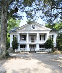
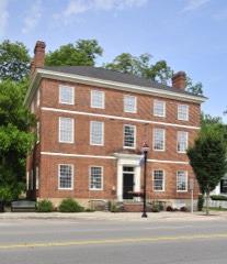
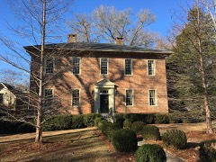
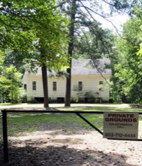
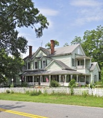
Block
From the record
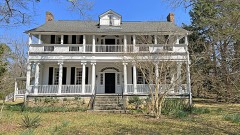
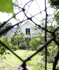
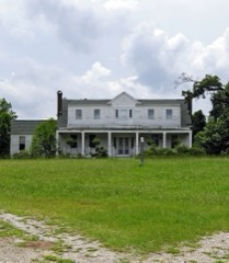
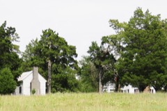
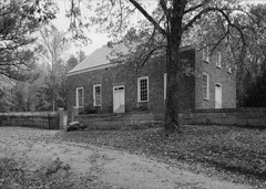
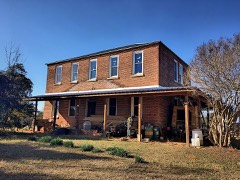
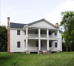
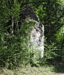
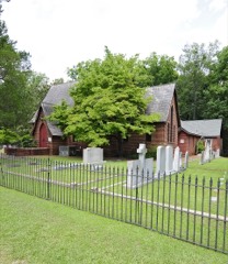
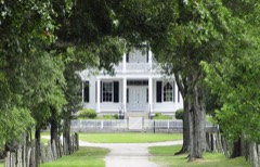
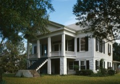
44 National Register listings published here.
Sources: the National Register database, National Park Service
53 topographic sheets and 8 fire insurance atlases across 1 place.
44 National Register listings published here.
Sources: the National Register database, National Park Service
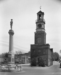
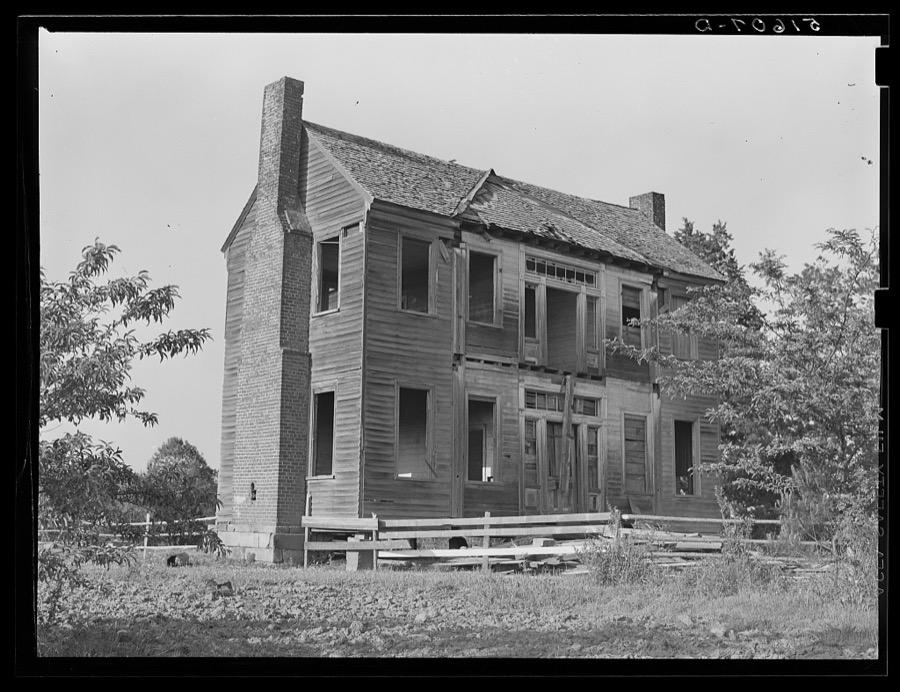
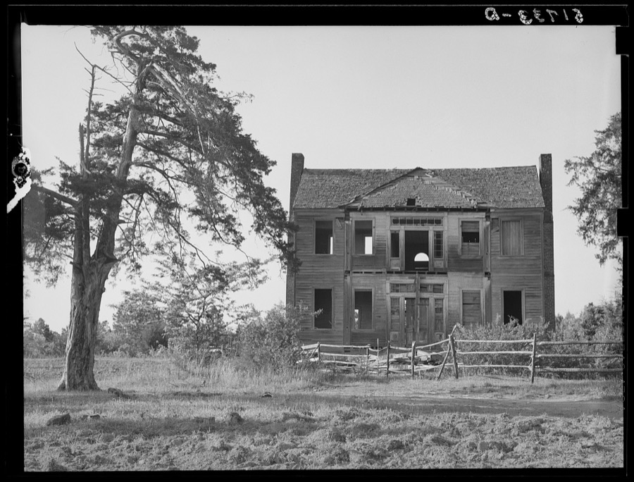
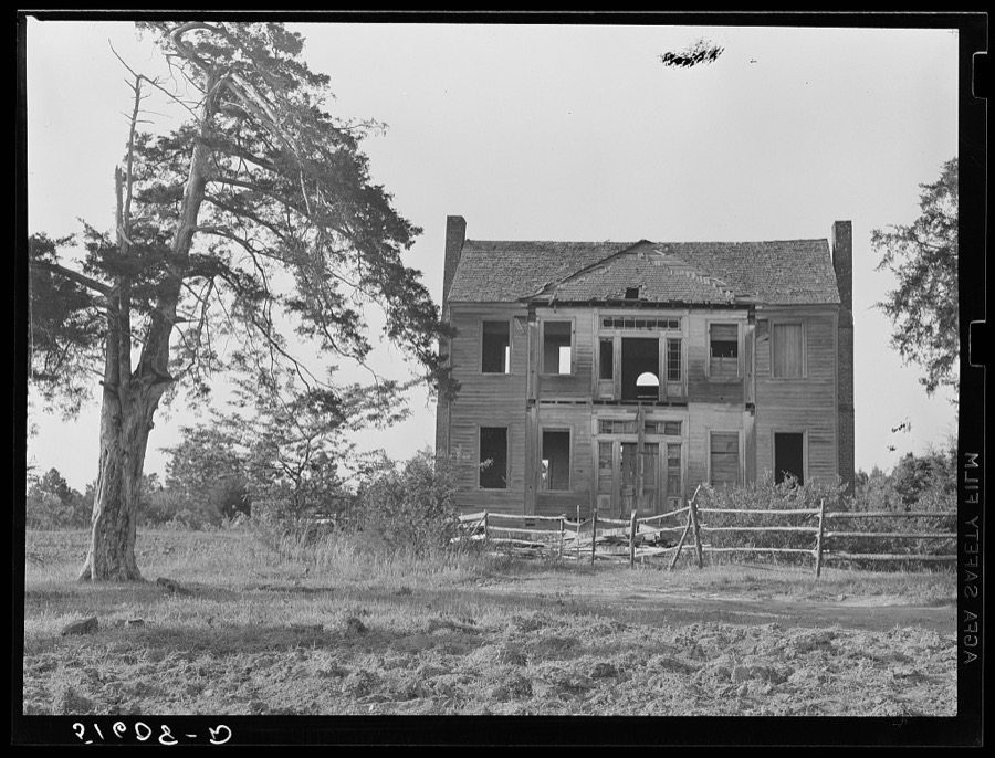
Taken for the Office of War Information and the Farm Security Administration, who photographed the country between 1935 and 1944. Works of United States government photographers, with no known restriction on use. Each opens its catalogue record.
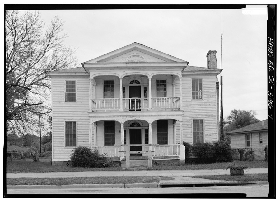
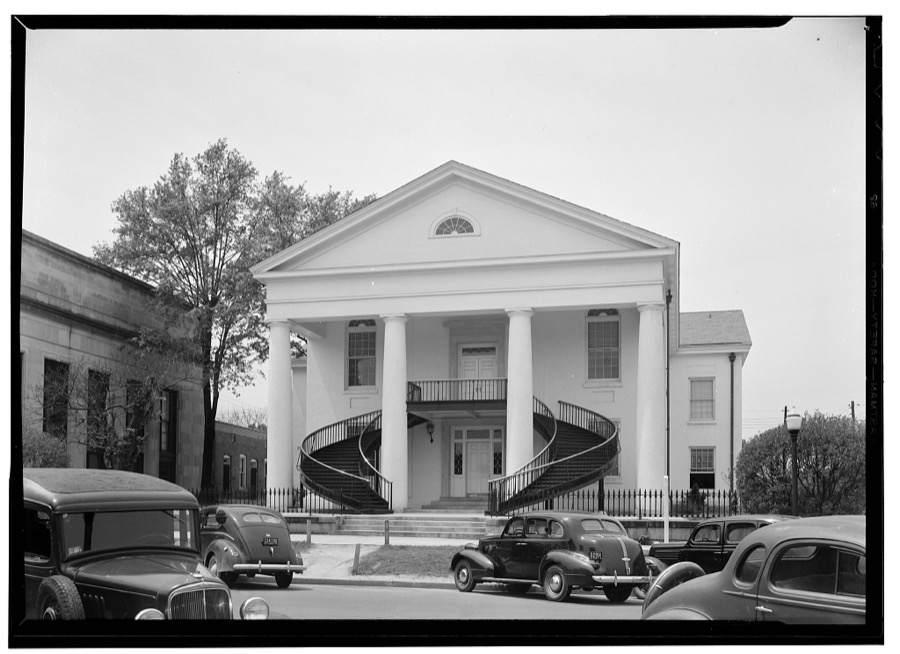
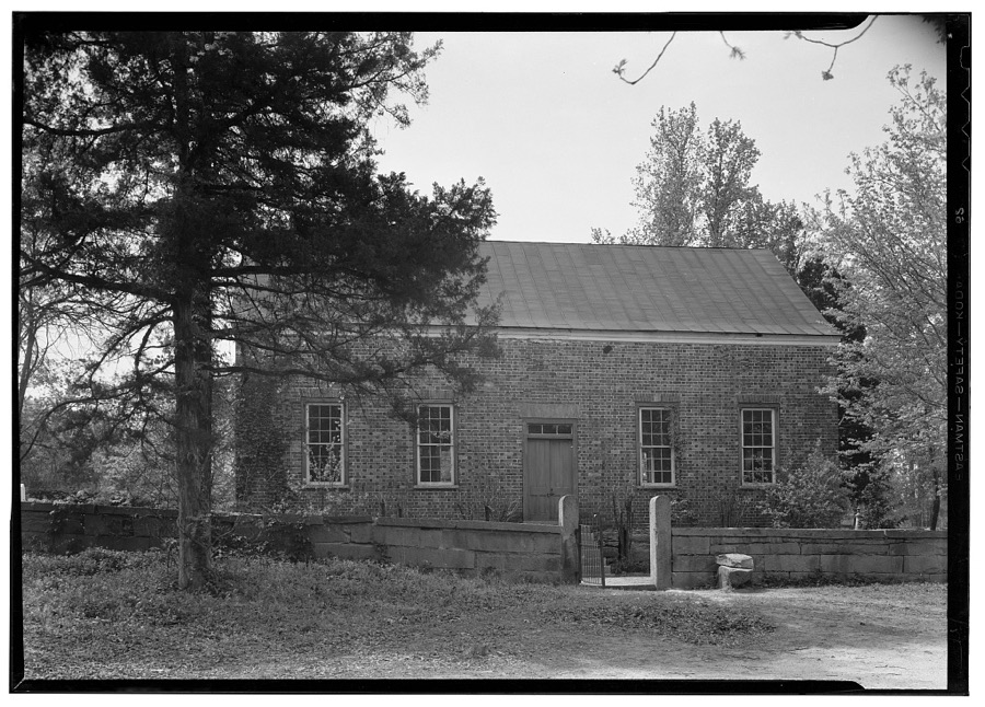
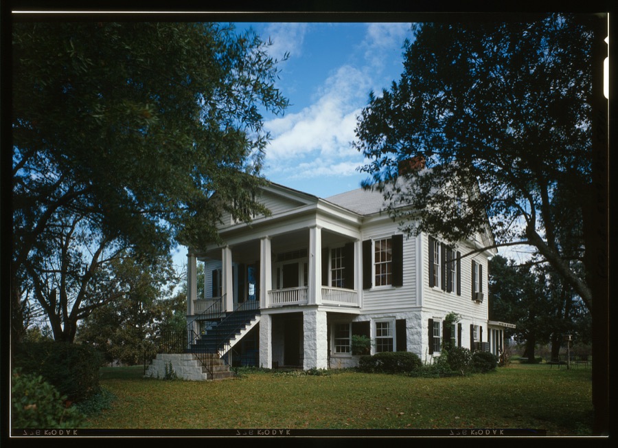
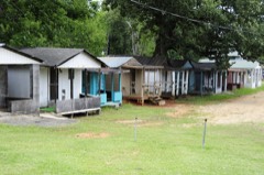
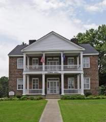
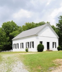
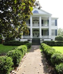
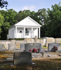
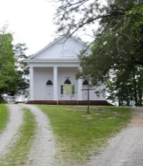
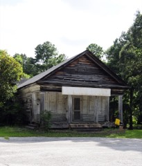
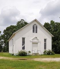
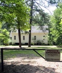
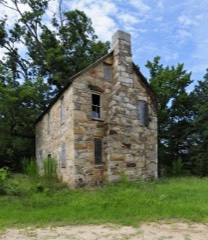
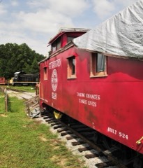
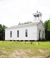
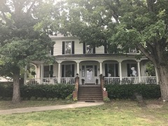
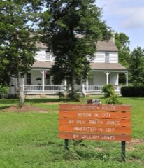
Every property in this county listed on the National Register of Historic Places, with the year it was listed and the federal nomination document.
Sampled issues, machine-read from the Library of Congress scan and published page by page, so every headline and column is searchable text.
Winnsboro, S.C., 1901 to 1982. Machine-read from the Library of Congress scan.
Winnsboro, S.C., 1881 to 1900. Machine-read from the Library of Congress scan.
Winnsboro, S.C., 1865 to 1876. Machine-read from the Library of Congress scan.
Winnsboro, S.C., 1849 to 1876. Machine-read from the Library of Congress scan.
Winnsboro, S.C., 1876 to 1881. Machine-read from the Library of Congress scan.
Winnsboro, S.C., 1877 to 1900. Machine-read from the Library of Congress scan.
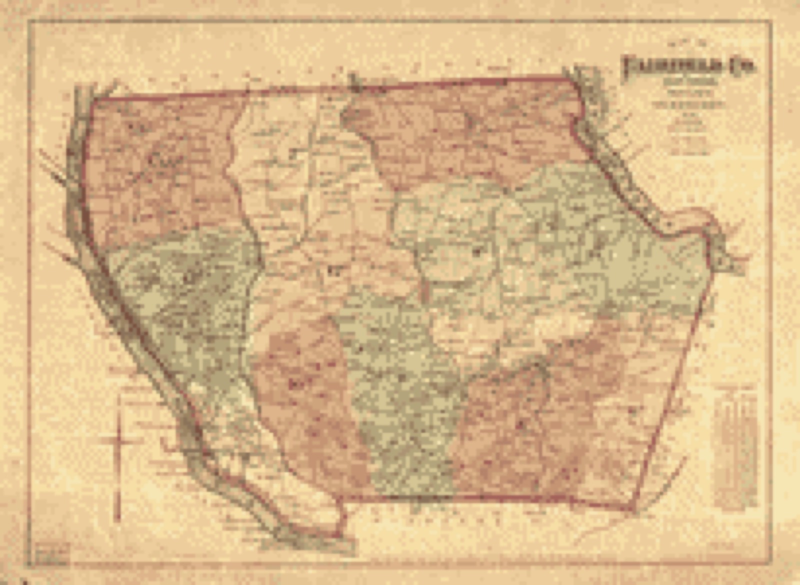
Drawn when these were printed as single large sheets: the town seen from the air, and the county divided into its farms with every owner named. Each opens the original at the Library of Congress.
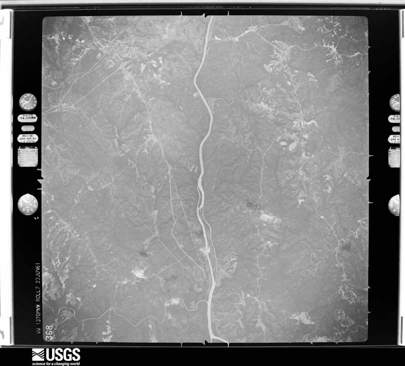
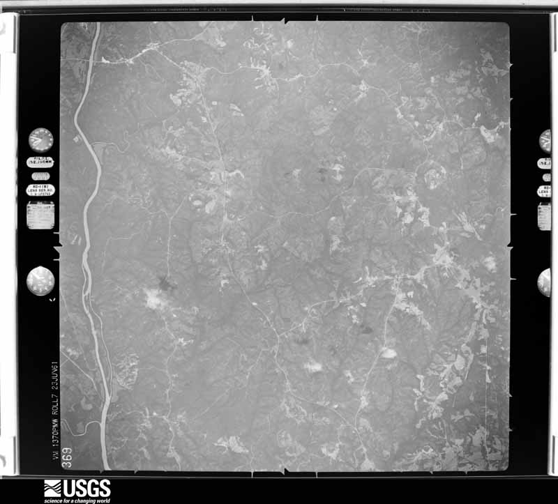
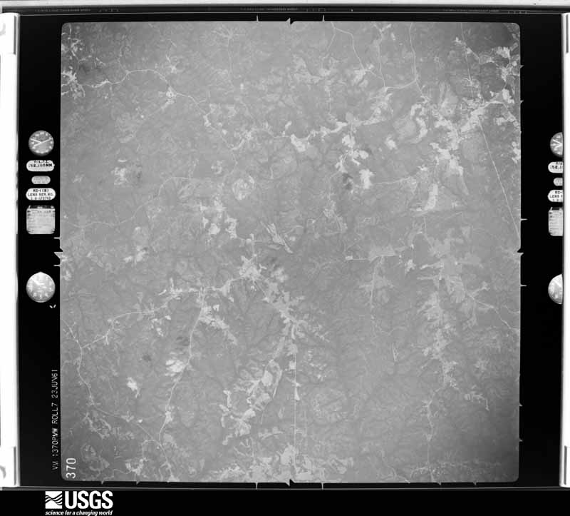
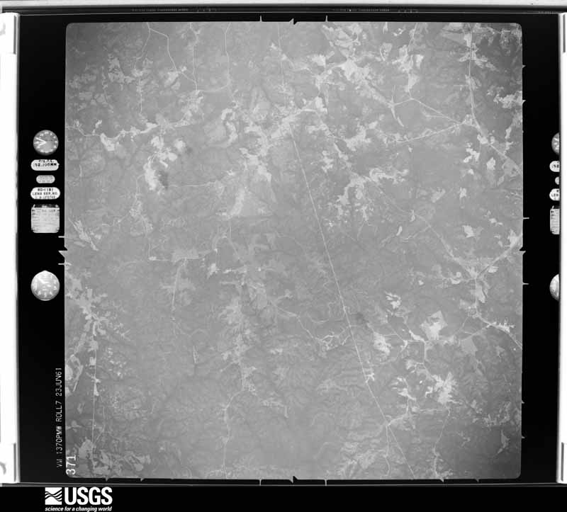
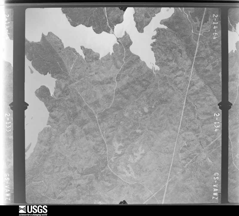
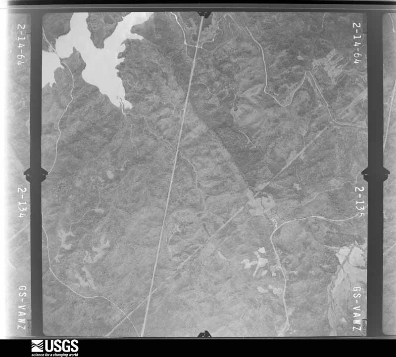
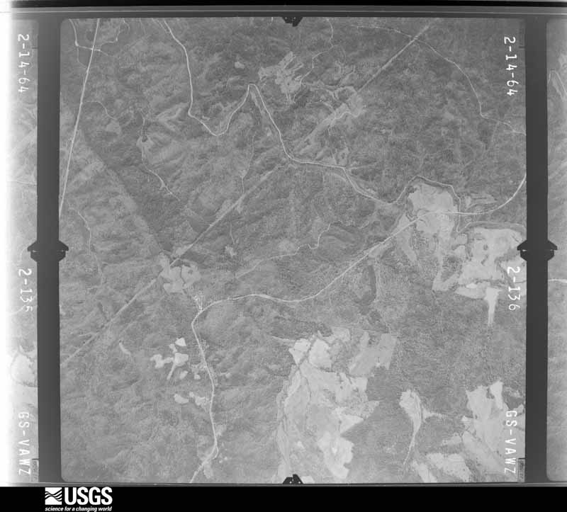
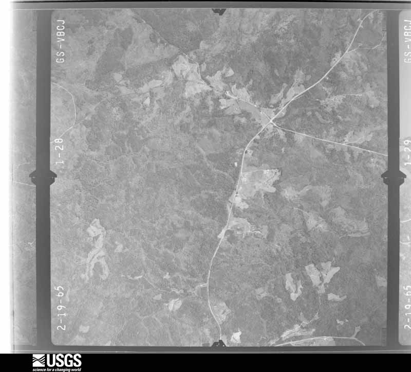
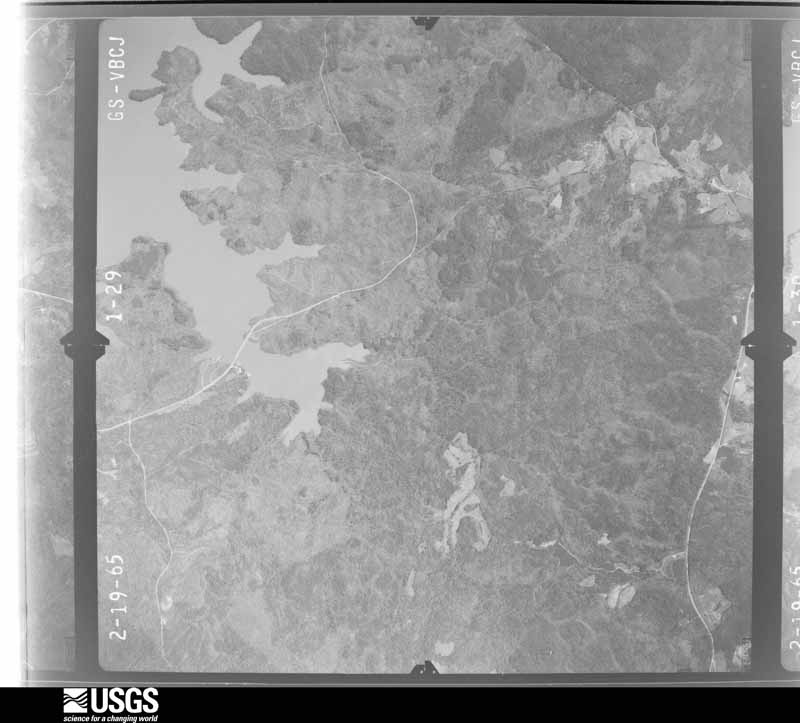
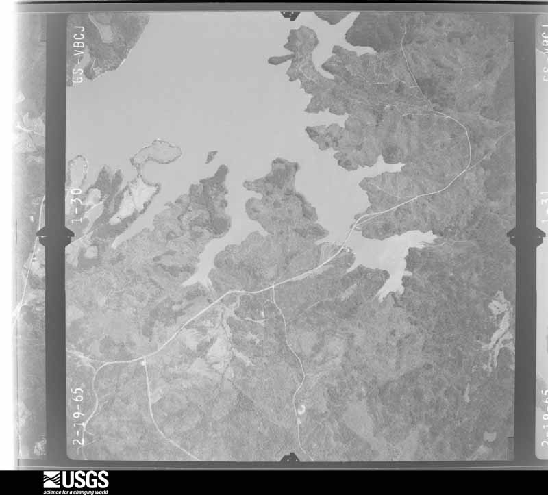
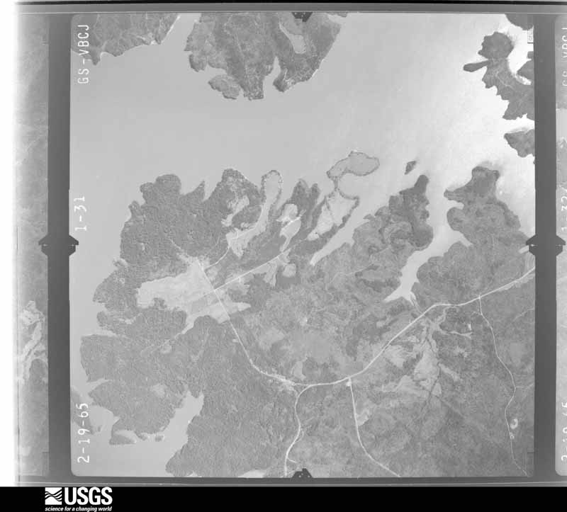
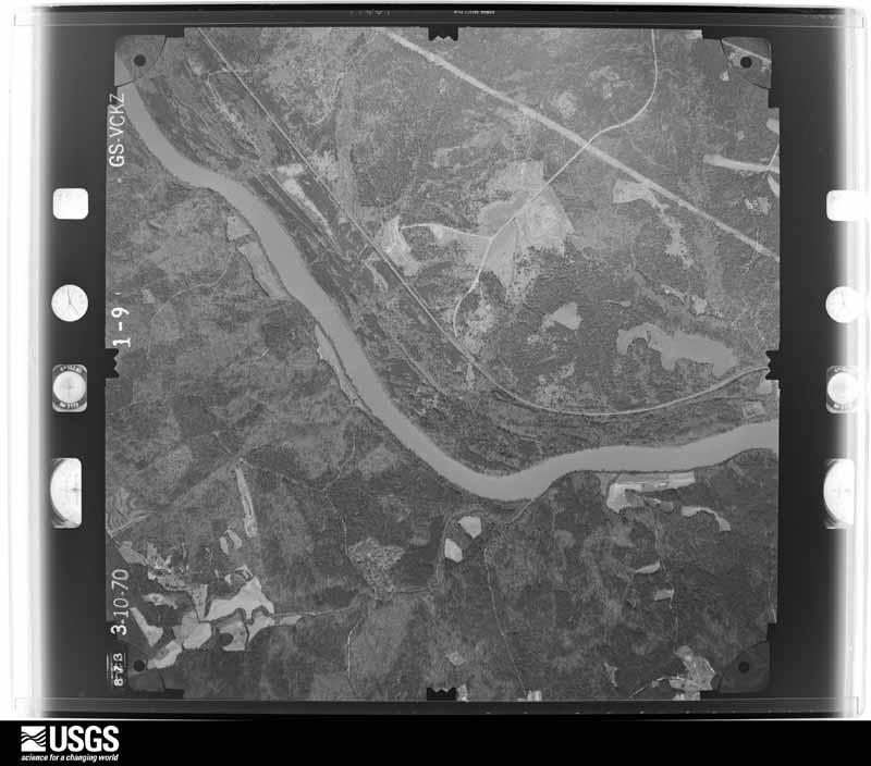
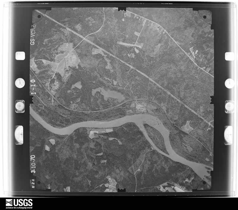
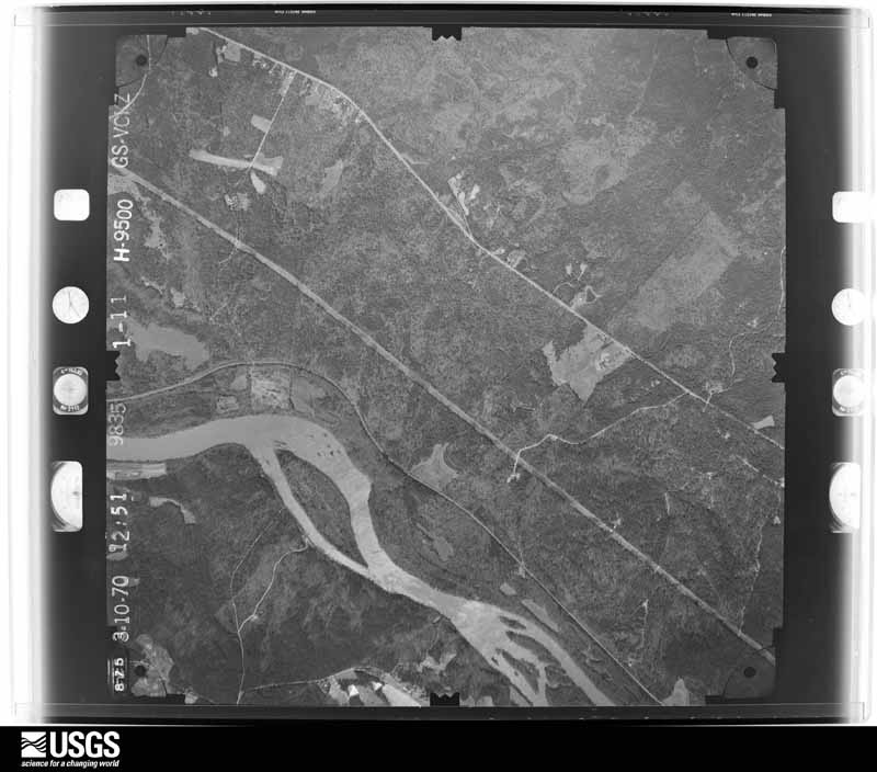
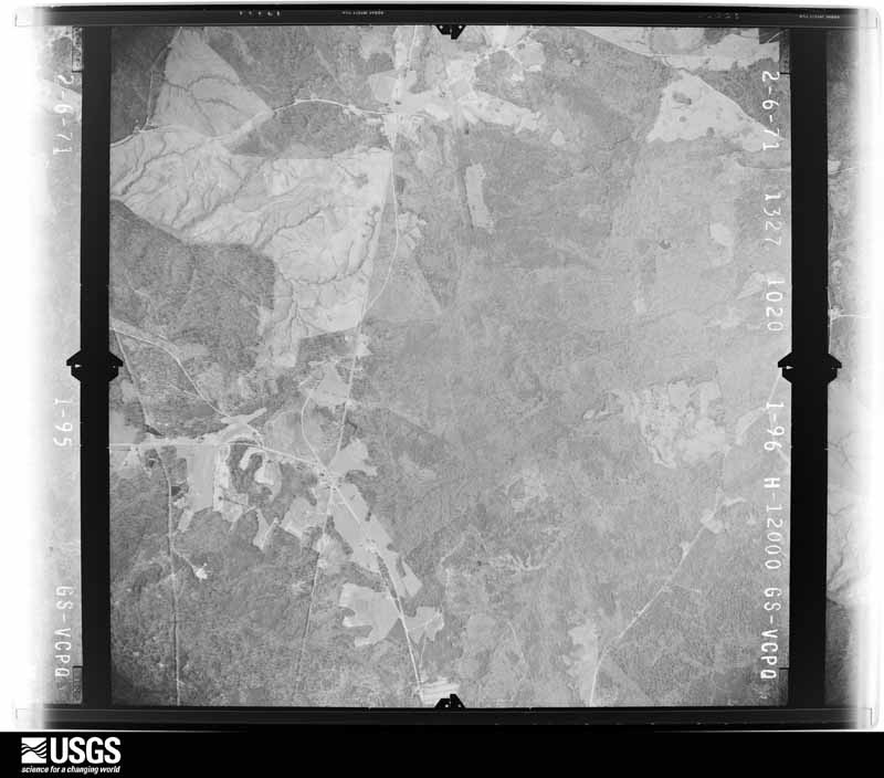
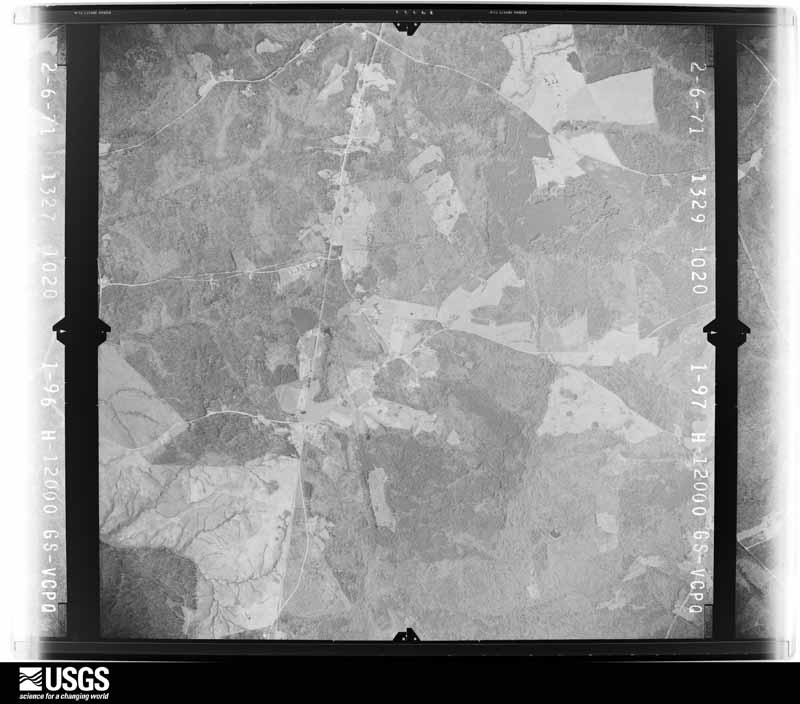
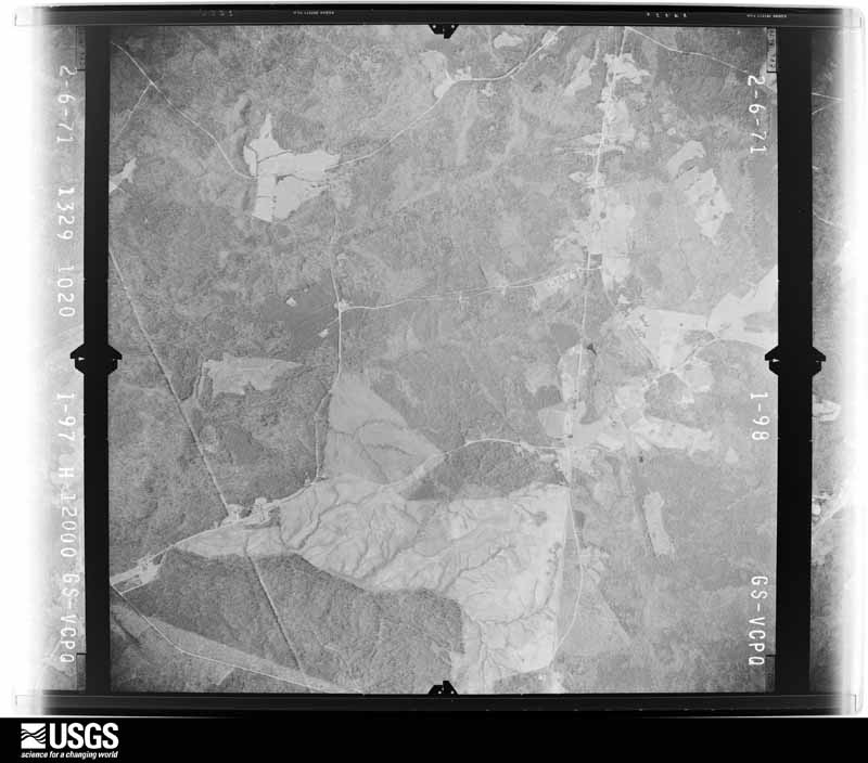
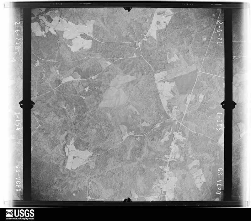
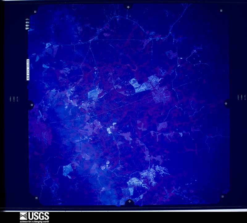
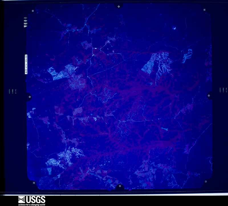
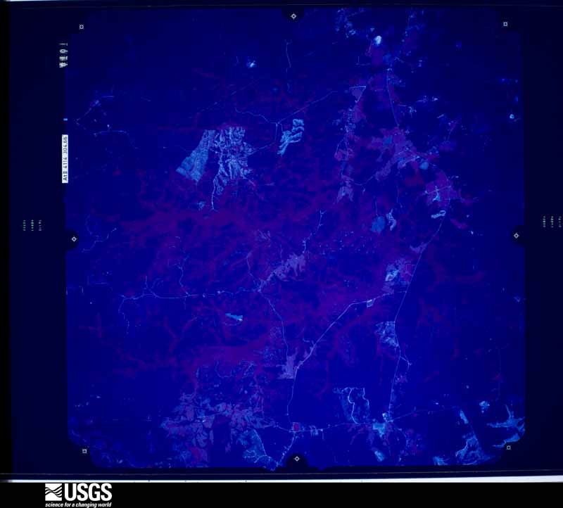
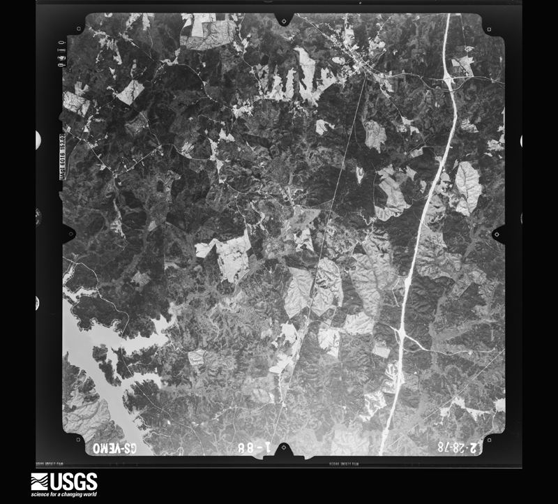
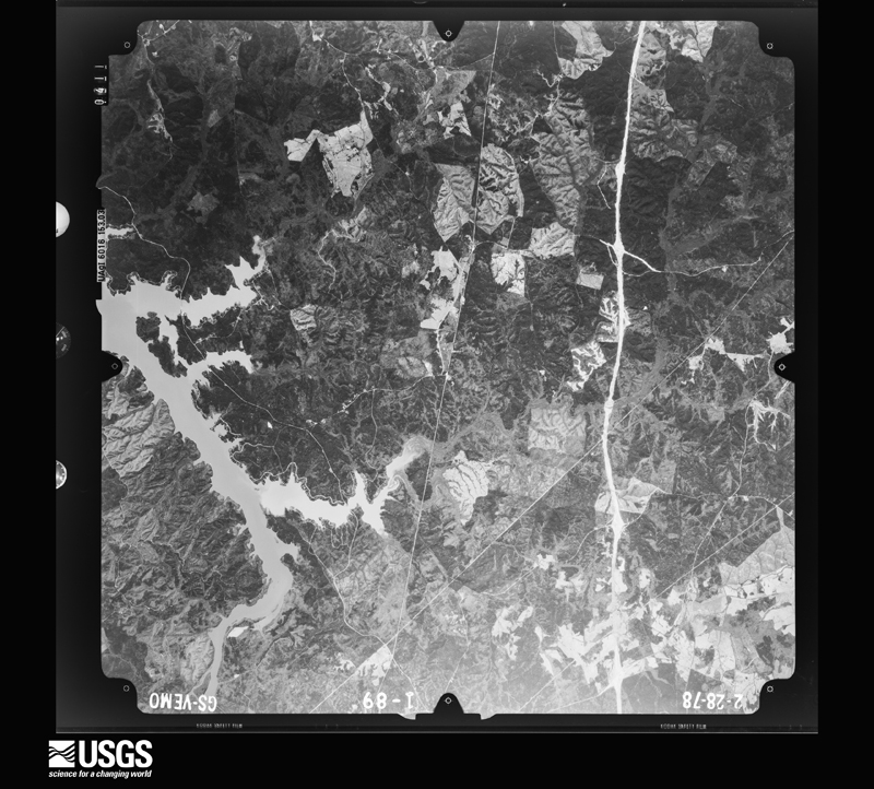
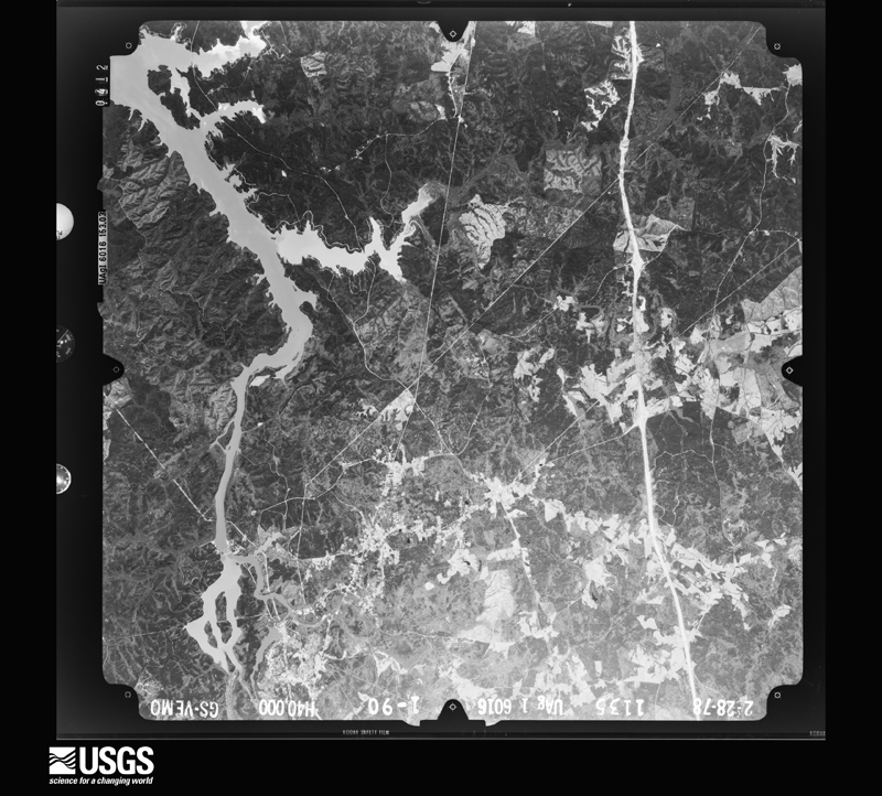
Flown by the U.S. Geological Survey between 1937 and 1989, the Aerial Photo Single Frames collection is the definitive mid-century view of the land: fields, roads and rivers as the camera saw them. The Survey holds 1,379 frames inside the rectangle that bounds this county; the 35 frames below were taken over the county itself, chosen across the decades of flights (at most four a year from that rectangle), so one flight cannot crowd out the rest. The full set is free to browse and download at EarthExplorer under the dataset Aerial Photo Single Frames.

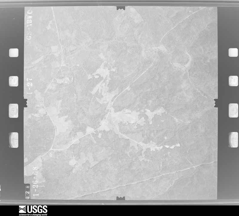
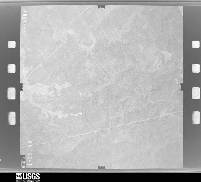
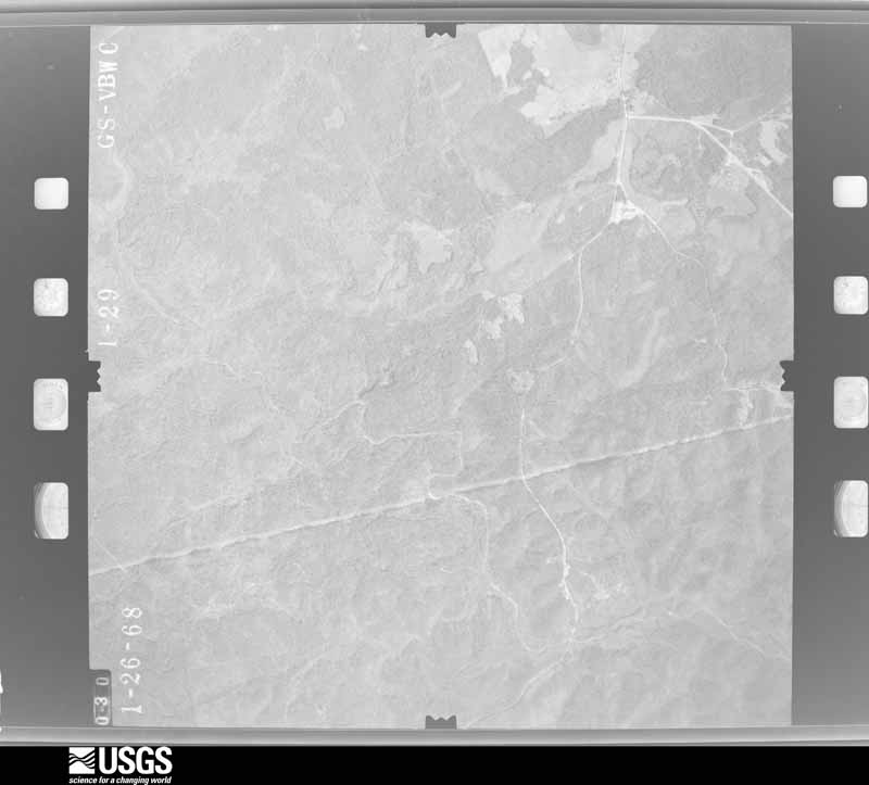
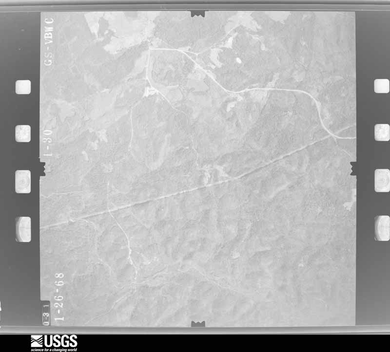






The thermometers that kept this county's weather, and the gages that measured the flow of its streams, as the federal records hold them. The extremes below are measured values from those records, not estimates.
Who lived here in 1950, one enumeration district at a time, as the Census Bureau described each district. Each row opens its official National Archives result, with Population Schedules and ED Maps available there.
Every wildfire the federal occurrence database records inside this county: 1,246 of them, burning about 4,649 acres. 88 started naturally and 74 were recorded as arson. Each settlement page carries the fires within five miles of it.
| Reported cause | Fires |
|---|---|
| Missing data/not specified/undetermined | 525 |
| Debris and open burning | 276 |
| Equipment and vehicle use | 144 |
| Natural | 88 |
| Arson/incendiarism | 74 |
| Misuse of fire by a minor | 40 |
| Smoking | 35 |
| Recreation and ceremony | 20 |
| Power generation/transmission/distribution | 18 |
| Railroad operations and maintenance | 11 |
| Other causes | 11 |
| Fireworks | 4 |
The five largest, by the area the report gives. One of them was set deliberately.
| Date | Cause | Size | Reported by | Name on the report |
|---|---|---|---|---|
| 21 August 1999 | Natural | 141 acres | South Carolina Forestry Commission | not named |
| 25 August 2007 | Natural | 105 acres | South Carolina Forestry Commission | PLUM CREEK |
| 11 April 2001 | Equipment and vehicle use | 100 acres | South Carolina Forestry Commission | not named |
| 13 March 2008 | Debris and open burning | 77 acres | South Carolina Forestry Commission | not named |
| 18 August 2007 | Equipment and vehicle use | 72 acres | South Carolina Forestry Commission | not named |
| 12 July 2000 | Natural | 72 acres | South Carolina Forestry Commission | not named |
| 5 June 2004 | Natural | 70 acres | South Carolina Forestry Commission | not named |
| 27 February 2002 | Arson/incendiarism | 60 acres | South Carolina Forestry Commission | not named |
Every settlement page carries the fires within five miles of it - see the settlement index below.
The NOAA Storm Events Database holds 427 reports for this county, causing 6 deaths, 75 injuries and about $29,181,950 in recorded property damage. Each settlement page carries the reports that name it.
| Kind of event | Reports |
|---|---|
| Thunderstorm Wind | 299 |
| Hail | 88 |
| Tornado | 33 |
| Flash Flood | 6 |
| Flood | 1 |
The most serious of them, by death, then injury, then recorded damage. The accounts are quoted exactly as the forecast office filed them.
| When | Event | Place named | Harm | What the report says |
|---|---|---|---|---|
| March 1984 | Tornado (F4) | not stated | 5 killed, 49 hurt, $25,000,000 | no account filed |
| September 2004 | Tornado (F2) | Ridgeway | 1 killed, 13 hurt | An F2 tornado destroyed 5 mobile homes, did moderate to severe damage to 2 framed homes and injurred 13 people. One 57 year old male died. Two vehicles were moved 20 to 30 yards. |
| March 1984 | Tornado (F3) | not stated | 10 hurt, $2,500,000 | no account filed |
| June 2015 | Thunderstorm Wind | Mitford | 2 hurt | DOT reported several trees down in Mitford along Hwy 200. |
| May 1988 | Thunderstorm Wind | not stated | 1 hurt | no account filed |
| October 2015 | Flash Flood | Salem Xrds | $500,000 | SC Highway Patrol reports SC34 at Hopewell Church Road closed due to flooding. |
| August 2004 | Tornado (F1) | Longtown | $300,000 | An F1 tornado ran along SC secondary hwy 3 and did minor damage to several homes and mobile homes. Several out buildings were destroyed and many trees and powerlines were down. |
| June 2015 | Thunderstorm Wind | Ft Wagener | $120,000 | EM reported that a turkey farm on Ashford Ferry Road had 3 barns severely damaged. |
| January 1995 | Tornado (F1) | Centerfield | $100,000 | Severe thunderstorm moved from two miles south of Ridgeway to six miles southeast of Ridgeway. Trees down and power outages occurred with Highway 34 south of Ridgeway blocked by fallen trees. The thunderstorm spawned a small tornado near Centerfield where more extensive damage to trees, utilities were noted. Observer visually saw tornado lower to ground. |
| May 1993 | Tornado (F0) | not stated | $50,000 | Tornado observed dipping down out of clouds, destroyed a lake house and several large trees, then moved out over Lake Wateree and dissipated. |
| July 2012 | Hail | Flint Hill | $40,000 | Numerous motorists reported windshields broken from hial on I-77 between exits 41 and 48. |
| April 2011 | Hail | Longtown | $40,000 | NWS COOP Observer reported golfball size hail in Longtown. |
| June 2007 | Tornado (EF0) | White Oak | $35,000 | An EF0 touched town in the White Oak area and took down large trees and did minor damage to a church. Two vehicles were crushed under one tree with no occupants inside. |
| August 2012 | Thunderstorm Wind | Winnsboro | $30,000 | County dispatch reported numerous trees down in Winnsboro and a tree on a home. |
| July 2012 | Hail | Camp Welfare | $30,000 | Highway Patrol reported quarter size hail on I-77 NE of Winnsboro with several vehicles having cracked wind shields. |
| April 2011 | Hail | Bucklick | $30,000 | Spotter reported golfball size hail near Lake Wateree. |
| March 2012 | Thunderstorm Wind | Blackjack | $20,000 | Dispatch reported several trees and powerlines down from just west of Winnsboro, in Winnsboro, and areas east of Winnsboro. |
| April 2011 | Thunderstorm Wind | Mt Rehovah | $18,000 | Highway Patrol reported trees down southeast of Ridgeway at Centerville Rd. and SC Hwy 34 on up to Longtown and Lake Wateree. |
| May 2014 | Thunderstorm Wind | Winnsboro | $12,000 | Sheriff reported numerous trees and powerlines down in the Winnsboro area. |
| April 2013 | Hail | Crosbyville | $12,000 | Public reported quarter size hail along Stevenson Road. Power outages also occurred in the area. |
| June 2011 | Thunderstorm Wind | Rock Hill | $12,000 | Dispatch center reported numerous trees down in the southwest corner of the county. |
| June 2011 | Thunderstorm Wind | Ridgeway | $12,000 | State official reported numerous trees down across southeastern Fairfield County. |
| August 2008 | Thunderstorm Wind | Mitford | $12,000 | Fairfield Electric Company reported many trees and several powerlines down with outages from southeast of Blackstock to Mitford. |
| July 2015 | Thunderstorm Wind | Salem Xrds | $10,000 | Highway Patrol reported numerous trees down on Highway 215 and many side roads in the northwest part of the county and around Blair. |
| April 2013 | Tornado (EF0) | Ridgeway | $10,000 | NWS Storm Survey revealed a weak tornado occurred along Mood Harrison Road where around 6 trees were toppled falling on a outbuilding and a car. Several large limbs were also down and an antenna on a mobile home was damaged. |
| July 2012 | Hail | Winnsboro | $10,000 | Sheriff reported 1 inch hail on the Hwy 321 bypass and Columbia Road in Winnsboro. |
| June 2011 | Thunderstorm Wind | Monticello | $10,000 | EM reported many trees down in the western part of Fairfield county. |
| July 2010 | Thunderstorm Wind | Salem Xrds | $10,000 | Sheriff reported numerous trees down at the intersection of Hwys 215 and 34. |
| June 2010 | Thunderstorm Wind | Woodward | $10,000 | DOT reported trees down on Highways 32 and 52. |
| December 2009 | Flash Flood | Mitford | $10,000 | Sheriff departments in Lancaster, Chesterfield, Kershaw, and Fairfield counties reported considerable flash flooding in portions of their counties. Many streams were overflowing roads, bridges, and flooding low lying areas. |
| August 2008 | Thunderstorm Wind | Longtown | $10,000 | Fairfield Electric Company reported several trees and a few powerlines down with outages from the Lake Wateree area to near Lugoff. |
| January 1995 | Thunderstorm Wind | to | $10,000 | no account filed |
| June 2014 | Thunderstorm Wind | Longtown | $8,000 | Public reported a portable car port was blown 50 feet. They also reported half inch hail. |
| August 2011 | Thunderstorm Wind | Jenkinsville | $8,000 | SCE&G and DOT reported a few trees and powerlines down with power outages near Lake Monticello and Hwy 215. |
| July 2002 | Thunderstorm Wind | Blair | $8,000 | Highway Patrol reported a tree fell onto a tractor trailor. |
| December 2009 | Thunderstorm Wind | Winnsboro | $7,000 | Sheriff reported trees down around the county, especially in the northern portions. |
| April 2015 | Thunderstorm Wind | Strother | $6,000 | Sheriff reported trees down near the Broad River Bridge on SC Hwy 34. |
| June 2013 | Thunderstorm Wind | Bucklick | $6,000 | Sheriff reported trees and powerlines down at the intersection of Wateree Road and Shangri-la Drive. |
| March 2012 | Thunderstorm Wind | Rock Hill | $6,000 | Dispatch reported trees down around the Jenkinsville area. |
| August 2010 | Thunderstorm Wind | Monticello | $6,000 | Fairfield Electric reported power outages on Hwy 213 from trees down on powerlines. |
| August 2025 | Flood | Ridgeway | $5,000 | Trained spotter reported a stalled vehicle due to ponding of water on Dogwood Avenue near the intersection of Peach Street. Additional areas of poor drainage led to standing water in portions of downtown Ridgeway. |
| March 2012 | Hail | Monticello | $5,000 | Public reported nickel to quarter size hail and strong winds near Monticello in western Fairfield County. |
| July 2012 | Hail | Stover | $5,000 | Sheriff reported 1 inch hail in the Midford area. |
| April 2011 | Hail | Bucklick | $5,000 | Public reported nickel to quarter size hail at Suttons Landing on Lake Wateree. |
| November 2010 | Thunderstorm Wind | Adger | $5,000 | Sheriff reported trees down along Smallstown road and Old Chester road. |
| May 2010 | Tornado (EF1) | Shelton | $5,000 | NWS storm survey followed up on reports of trees down from the utility company and postal carriers. Many trees were down along the path and minor damage was done to a home and out-buildings at 1517 Clowney road. The tornado peaked about a quarter of a mile west of the home as an EF1. |
| August 2008 | Flash Flood | Winnsboro | $5,000 | Longtown COOP reported flooding of secondary roads from streams, including Wateree Creek, temporarily closing them. |
| August 2008 | Tornado (EF0) | Shelton | $5,000 | Storm survey found trees down along a path about 60 yards wide on Mcconnel road, SC20-99, hwy 215, and Cool Branch road. |
| June 1995 | Thunderstorm Wind | Fairfield | $5,000 | no account filed |
| December 2015 | Flash Flood | Winnsboro | $4,000 | County Dispatch reported Washington Street at Moultrie Street was being closed due to flooding. |
| June 2015 | Thunderstorm Wind | Anderson Quarry | $4,000 | Sheriff reported trees down on Landis and Kennedy Roads. |
| July 2014 | Thunderstorm Wind | Woodward | $4,000 | DOT reported several trees down on secondary roads south of Blackstock. |
| June 2014 | Thunderstorm Wind | Stover | $4,000 | Public reported trees and large branches down on Heritage Road. |
| January 2013 | Thunderstorm Wind | Monticello | $4,000 | DOT reported several trees down along Hwy SC215 in western Fairfield County. |
| March 2012 | Thunderstorm Wind | Ridgeway | $4,000 | Dispatch reported a several trees down on Hwy 34 and Hwy 69. |
| July 2012 | Thunderstorm Wind | Winnsboro | $4,000 | Public reported large limbs down and power outages in Winnsboro. |
| July 2012 | Thunderstorm Wind | Ridgeway | $4,000 | Police reported trees in the roadway at West Ruff Street and South Means Streat. |
| July 2012 | Thunderstorm Wind | Simpson | $4,000 | Highway Patrol reported powerlines down at the intersection of Syrup Mill Road and Peach Road. |
| June 2011 | Thunderstorm Wind | Simpson | $4,000 | Sheriff reoprted trees down at the intersection of US 321 and Broom Mill road. |
| June 2011 | Thunderstorm Wind | Rock Hill | $4,000 | Sheriff reported several trees down near Hwy 215 and Glenns Bridge road. |
The Survey's mineral resources record lists 33 workings inside this county. 6 still produce and 27 are closed or unrecorded. Each settlement page carries the workings within five miles of it.
| Commodity | Workings |
|---|---|
| Stone, Crushed/Broken | 11 |
| Granite, Stone, Dimension | 10 |
| Gold | 6 |
| Granite | 3 |
| Granite, Stone, Crushed/Broken | 3 |
| Clay | 3 |
| Sand and Gravel, Construction | 2 |
| Silver | 1 |
| Copper, Arsenic, Molybdenum | 1 |
| Granite, Stone, Crushed/Broken, Stone, Dimension | 1 |
| Stone, Dimension, Granite | 1 |
The least common of them first, because a county's hundredth gravel pit says nothing its first ten did not.
| Where | Site | Commodity | Status | Recorded |
|---|---|---|---|---|
| Ridgeway Mine | Gold, Silver, Copper, Arsenic, Molybdenum | Producer | 1969, 1988 | |
| Rion Quarry | Granite, Stone, Crushed/Broken, Stone, Dimension | Unknown | Igneous | |
| Unnamed Dimension Stone Quarry | Stone, Dimension, Granite, Stone, Crushed/Broken | Past Producer | Igneous Intrusion | |
| Dawkins Sand Dredge | Sand and Gravel, Construction | Past Producer | ||
| Unidentified Mine | Sand and Gravel, Construction | Past Producer | Sand | |
| Anderson Quarry | Granite | Producer | ||
| Blair Quarry | Granite | Unknown | Igneous | |
| Blair Quarry | Granite, Stone, Crushed/Broken | Producer | 1908 | |
| Mcmeekin Mine | Clay | Past Producer | ||
| Mitford Quarry | Granite, Stone, Crushed/Broken | Past Producer | 1979 | |
| Monticello Quarry | Granite, Stone, Crushed/Broken | Past Producer | 1975, 1978 | |
| Number 126 Quarry | Granite | Unknown | Igneous | |
| Richtex Mine | Clay | Unknown | Metamorphic | |
| Richtex Mine | Clay | Past Producer | ||
| Belton Prospect | Gold | Occurrence | ||
| Jaynes Prospect | Gold | Occurrence | ||
| Lloyd Prospect | Gold | Unknown | ||
| Pp/2k Or I-77 Prospect | Gold | Occurrence | ||
| Ridgeway Mine | Gold | Plant | 1969, 1989 | |
| Anderson Quarry | Granite, Stone, Dimension | Past Producer | 1898 | |
| Hobbs Quarry | Granite, Stone, Dimension, Stone, Crushed/Broken | Past Producer | Igneous | |
| Johnson Quarry | Granite, Stone, Dimension | Past Producer | Igneous Intrusion | |
| Leiper-Davis Quarry | Granite, Stone, Dimension, Stone, Crushed/Broken | Past Producer | 1900 | |
| McKeown Pink Quarry | Granite, Stone, Dimension, Stone, Crushed/Broken | Past Producer | Igneous Intrusion | |
| Unnamed Dimension Stone | Granite, Stone, Dimension | Past Producer | Igneous Intrusion | |
| Unnamed Dimension Stone Quarry | Granite, Stone, Dimension | Past Producer | Igneous Intrusion | |
| Unnamed Dimension Stone Quarry | Granite, Stone, Dimension, Stone, Crushed/Broken | Past Producer | Igneous Intrusion | |
| Unnamed Dimension Stone Quarry | Granite, Stone, Dimension, Stone, Crushed/Broken | Past Producer | Igneous Intrusion | |
| Unnamed Dimension Stone Quarry | Granite, Stone, Dimension, Stone, Crushed/Broken | Past Producer | Igneous Intrusion | |
| Blair Quarry | Stone, Crushed/Broken | Producer | ||
| Job 126 Quarry | Stone, Crushed/Broken | Past Producer | ||
| Mitford Quarry | Stone, Crushed/Broken | Producer | ||
| Superior Stone Co. Quarry | Stone, Crushed/Broken | Past Producer |
Named settlements recorded in the Geographic Names Information System, each with the topographic sheets covering it. Villages, hamlets and abandoned places alike. Each is shown with the nearest named watercourse or landform and the survey quadrangle it falls on. The 1 place that was also surveyed for fire insurance comes first, with the number of atlases and photographs held for them.
Winnsboro South census division · 29180 · Winnsboro quadrangle
15 sheets, 1904 to 1986
Fire insurance: 8 atlases
Winnsboro South census division · 29065 · Near Hampton Island · Chapin quadrangle
16 sheets, 1904 to 1986
Ridgeway census division · 29130 · On Catawba River · Flint Hill quadrangle
16 sheets, 1941 to 1986
No longer a settlement
Monticello-Salem Crossroads census division · 29015 · On Rocky Creek · Blair quadrangle
15 sheets, 1904 to 1986
Ridgeway census division · 29180 · On Catawba River · Flint Hill quadrangle
16 sheets, 1941 to 1986
Monticello-Salem Crossroads census division · 29015 · Blair quadrangle
15 sheets, 1904 to 1986
Ridgeway census division · 29130 · On Colonel Creek · Longtown quadrangle
15 sheets, 1941 to 1986
Monticello-Salem Crossroads census division · 29015 · Carlisle quadrangle
13 sheets, 1941 to 1986
Monticello-Salem Crossroads census division · 29015 · On Wilkinsons Creek · Jenkinsville quadrangle
15 sheets, 1904 to 1986
Ridgeway census division · 29180 · On Taylor Creek · Flint Hill quadrangle
16 sheets, 1941 to 1986
Monticello-Salem Crossroads census division · 29015 · On Storm Branch · Carlisle SE quadrangle
12 sheets, 1941 to 1986
Winnsboro North census division · 29014 · On Gaydens Creek · Stover quadrangle
13 sheets, 1941 to 1986
No longer a settlement
Monticello-Salem Crossroads census division · 29065 · Jenkinsville quadrangle
15 sheets, 1904 to 1986
Monticello-Salem Crossroads census division · 29015 · Blair quadrangle
15 sheets, 1904 to 1986
No longer a settlement
Monticello-Salem Crossroads census division · 29065 · Jenkinsville quadrangle
15 sheets, 1904 to 1986
Monticello-Salem Crossroads census division · 29015 · Salem Crossroads quadrangle
14 sheets, 1904 to 1986
Monticello-Salem Crossroads census division · 29065 · On Mayo Creek · Jenkinsville quadrangle
15 sheets, 1904 to 1986
Monticello-Salem Crossroads census division · 29015 · On Rocky Branch · Salem Crossroads quadrangle
14 sheets, 1904 to 1986
Winnsboro South census division · 29180 · On Neckleys Creek · Jenkinsville quadrangle
15 sheets, 1904 to 1986
Winnsboro South census division · 29180 · Winnsboro Mills quadrangle
15 sheets, 1904 to 1986
Monticello-Salem Crossroads census division · 29015 · Salem Crossroads quadrangle
14 sheets, 1904 to 1986
Monticello-Salem Crossroads census division · 29015 · On High Hill Creek · Blair quadrangle
15 sheets, 1904 to 1986
Monticello-Salem Crossroads census division · 29015 · On Old Ridge Branch · Blair quadrangle
15 sheets, 1904 to 1986
Monticello-Salem Crossroads census division · 29015 · On Hellers Creek · Jenkinsville quadrangle
15 sheets, 1904 to 1986
No longer a settlement
Ridgeway census division · 29180 · On Taylor Creek · Flint Hill quadrangle
16 sheets, 1941 to 1986
Winnsboro South census division · 29180 · On Freshley Branch · Chapin quadrangle
16 sheets, 1904 to 1986
Winnsboro South census division · 29180 · Winnsboro Mills quadrangle
15 sheets, 1904 to 1986
The vanished settlements of Fairfield County: the places named above that are no longer on the map.
15 topographic sheets and 8 fire insurance atlases, 1884 to 1949
The complete index, with nothing left out. Each of these is a separate record with its own page: a federal survey report, or the case file that argued a property on to the National Register. Both are public domain and reproduced word for word.
The vanished settlements of Fairfield County, the places these records name that are no longer on the map.