 Block
From the record
16 National Register listings published here.
Sources: the National Register database, National Park Service
58 topographic sheets cover 43 settlements here, and 16 properties are on the National Register of Historic Places.
16 National Register listings published here.
Sources: the National Register database, National Park Service
Taken for the Office of War Information and the Farm Security Administration, who photographed the country between 1935 and 1944. Works of United States government photographers, with no known restriction on use. Each opens its catalogue record.
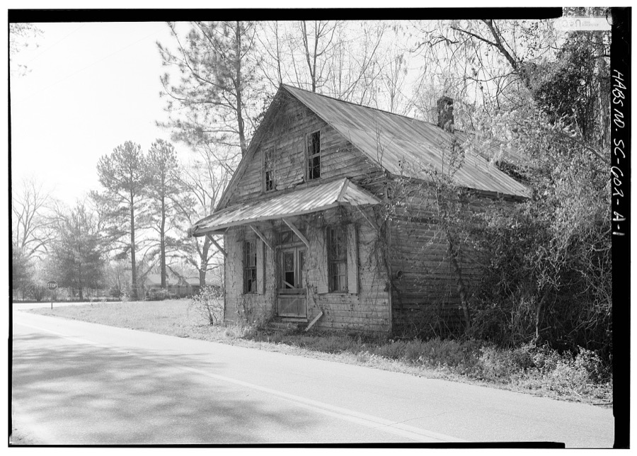
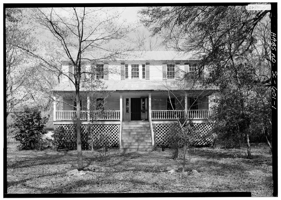
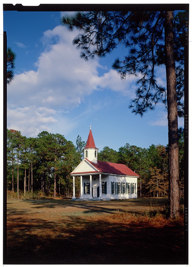
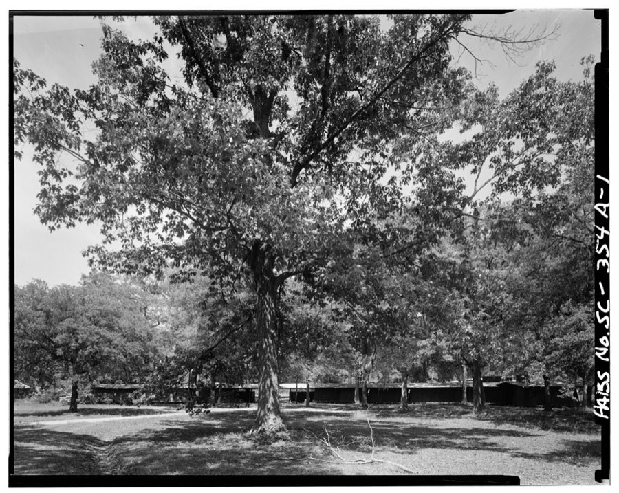
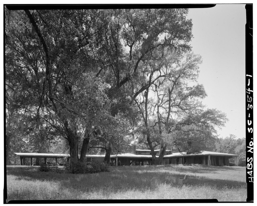
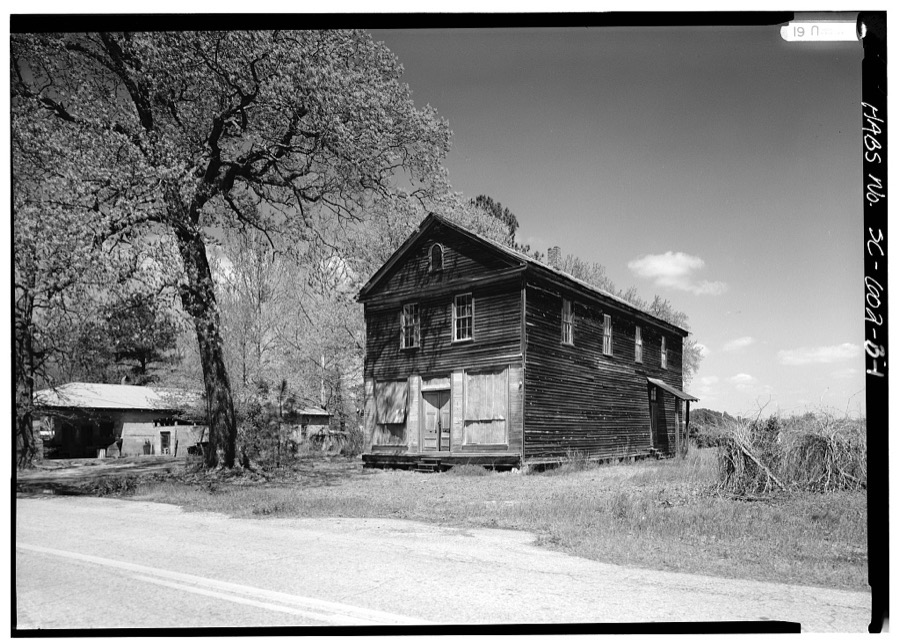
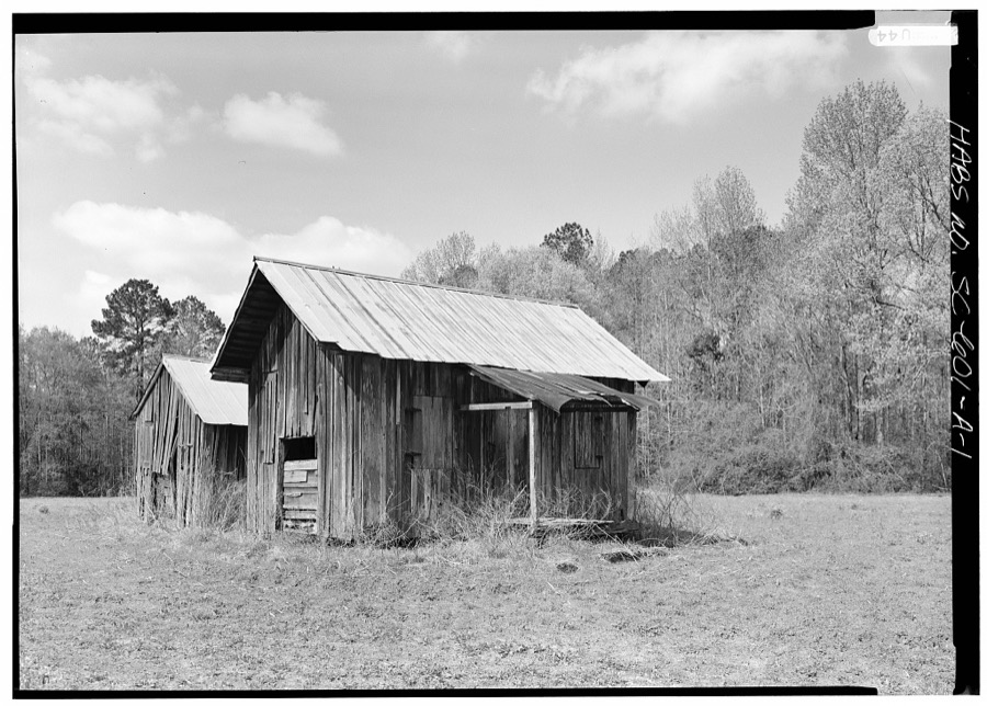
Every property in this county listed on the National Register of Historic Places, with the year it was listed and the federal nomination document.
| Photograph | Property | Type | Listed | Reference |
|---|---|---|---|---|
 | American Legion Hut | building | 2000 | 00001235 |
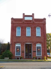 | Bank of Hampton | building | 2001 | 01000606 |
| Church of the Heavenly Rest | building | 2026 | 100012544 | |
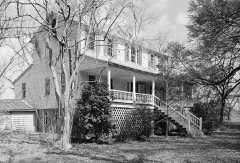 | Cohasset | building | 1986 | 86001935 |
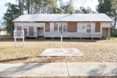 | Gifford Rosenwald School | building | 2017 | 100001720 |
| Gravel Hill Plantation | building | 2010 | 10000240 | |
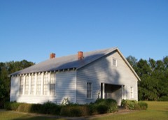 | Hampton Colored School | building | 1991 | 91000233 |
 | Hampton County Courthouse | building | 1978 | 78002517 |
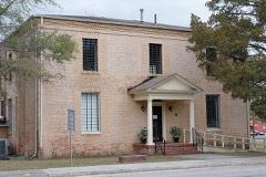 | Hampton County Jail | building | 2011 | 11000405 |
 | John Lawton House | building | 2009 | 09000484 |
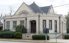 | Lawtonville Baptist Church | building | 2012 | 12000848 |
 | Oak Grove | building | 1976 | 76001704 |
 | Palmetto Theatre | building | 2012 | 12000849 |
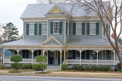 | Hattie J. Peeples House | building | 1992 | 92001299 |
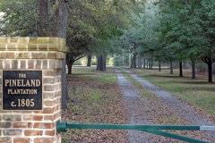 | Pineland, The | building | 1999 | 99000814 |
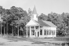 | Stoney Creek Independent Presbyterian Chapel of Prince William Parish | building | 2002 | 02000559 |
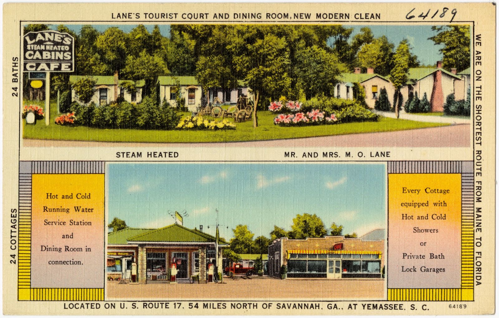
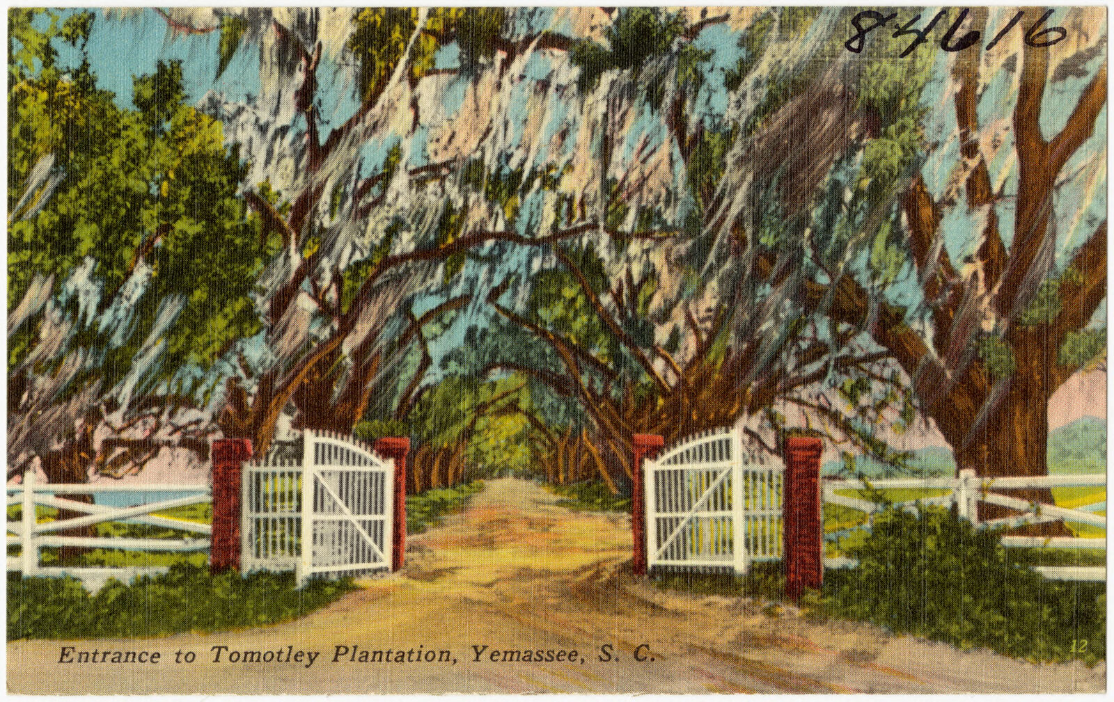
Selected from the Digital Public Library of America's 2 image records catalogued for this county. Every one shown here carries a public-domain status or a licence that permits reuse on a site that carries advertising; non-commercial, share-alike and restricted images are excluded. The selection is spread across the county's towns (at most eight per town), so no single institution's bulk upload crowds out the rest. Each opens the holding library's record, and the complete set at the Digital Public Library of America is one click away.
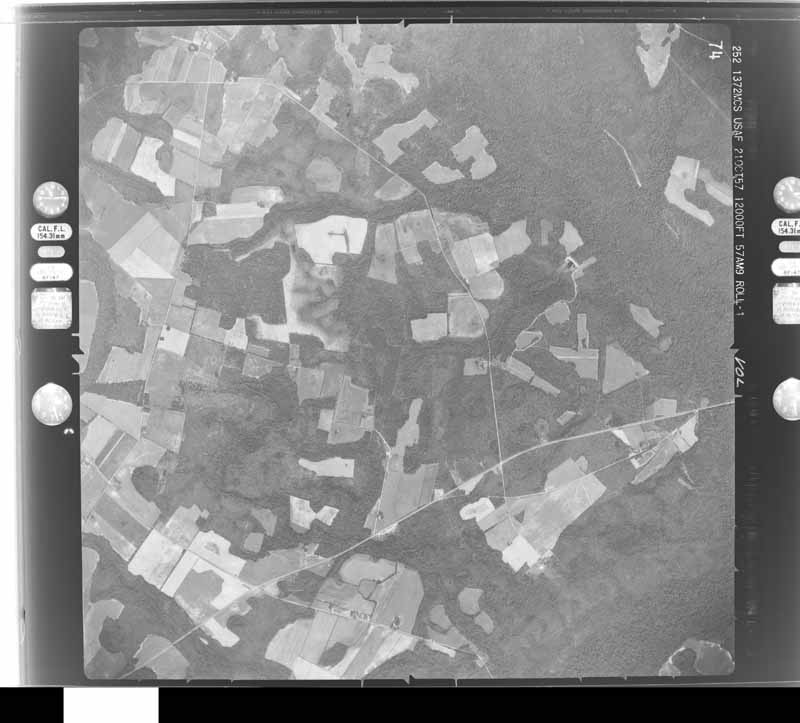
Flown by the U.S. Geological Survey between 1937 and 1989, the Aerial Photo Single Frames collection is the definitive mid-century view of the land: fields, roads and rivers as the camera saw them. The Survey holds 1,966 frames inside the rectangle that bounds this county; the 32 frames below were taken over the county itself, chosen across the decades of flights (at most four a year from that rectangle), so one flight cannot crowd out the rest. The full set is free to browse and download at EarthExplorer under the dataset Aerial Photo Single Frames.

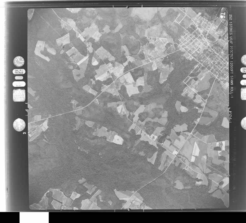
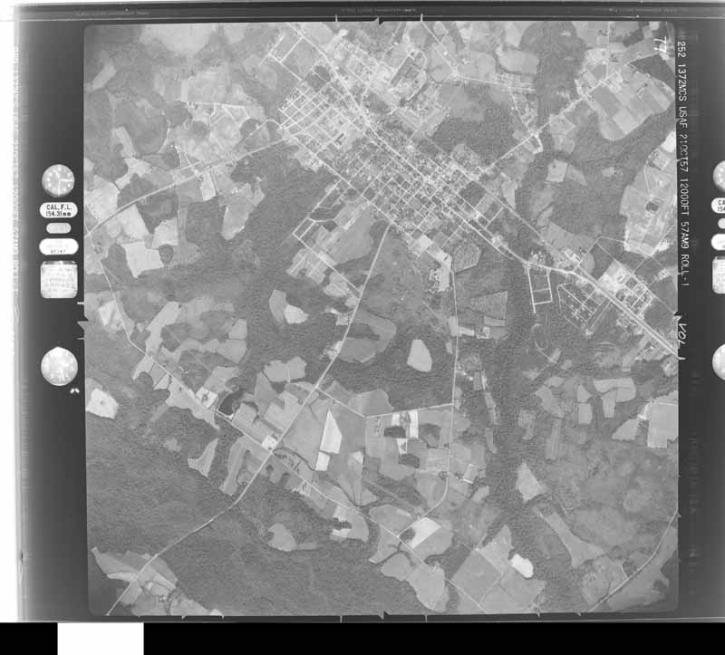
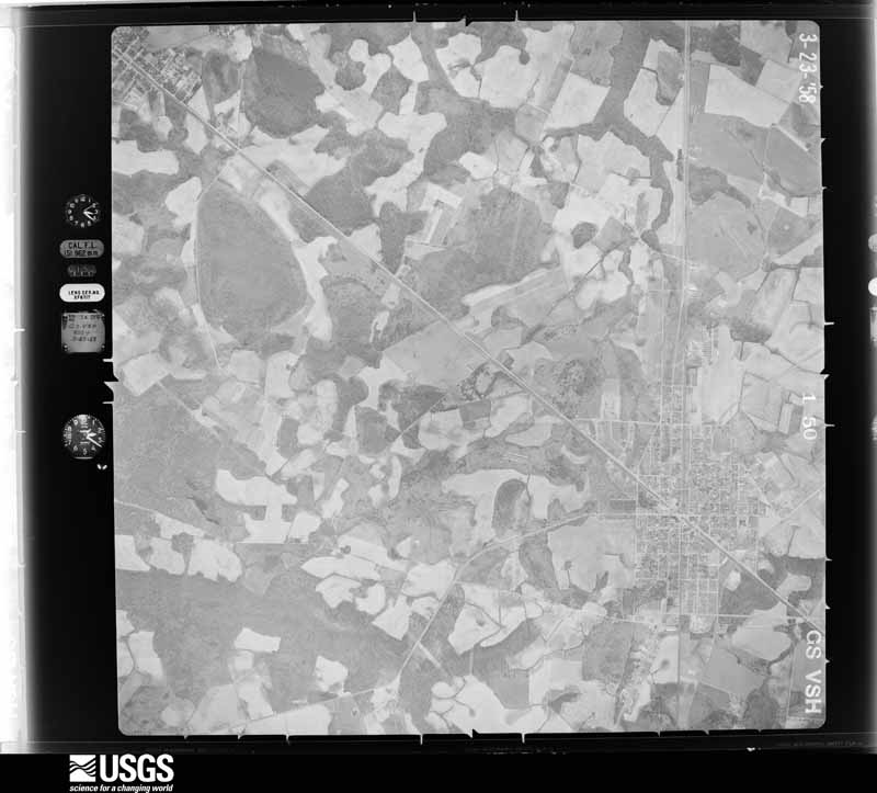
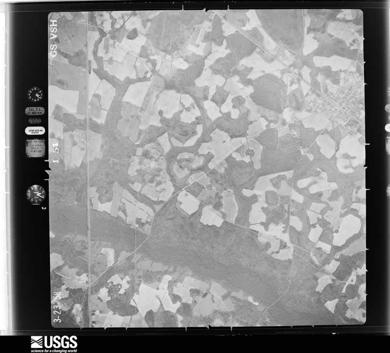
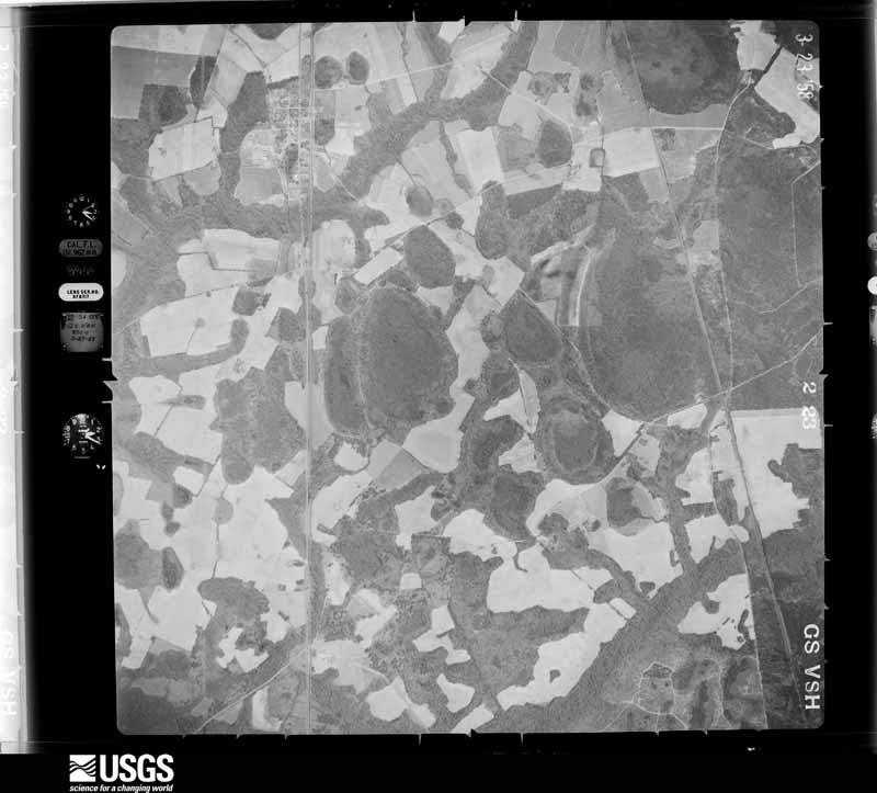
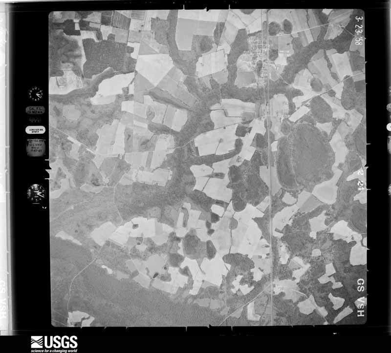
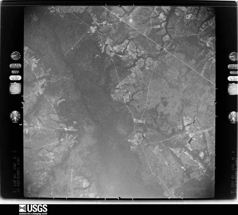
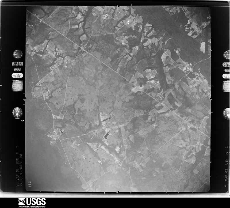
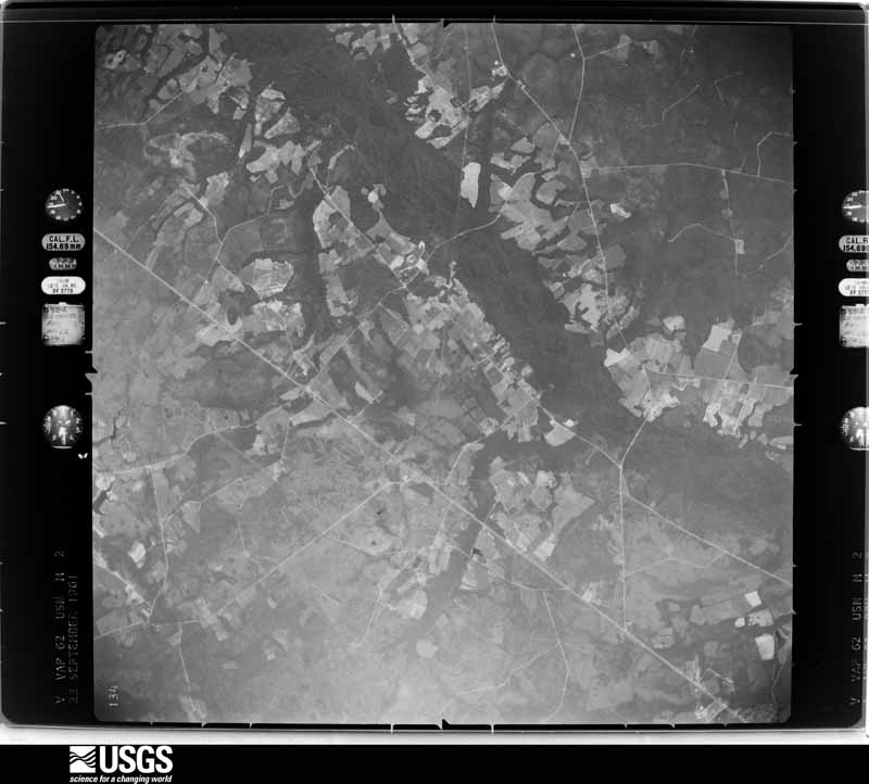
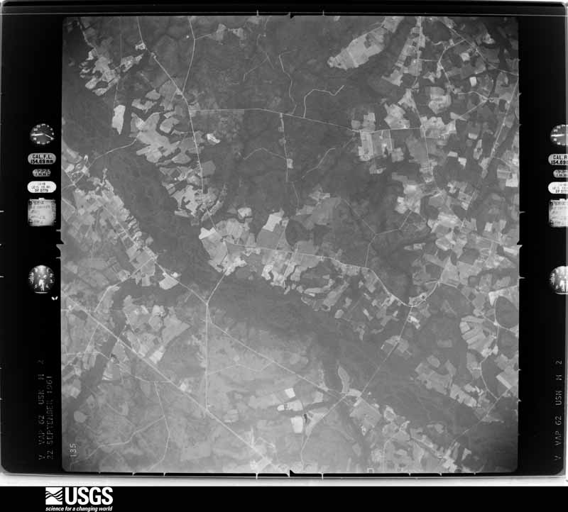
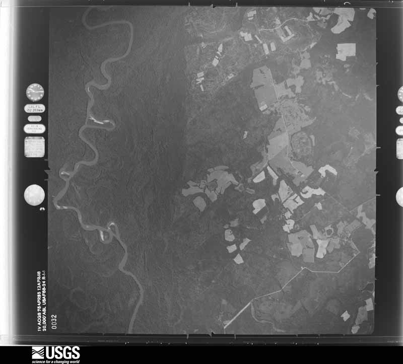





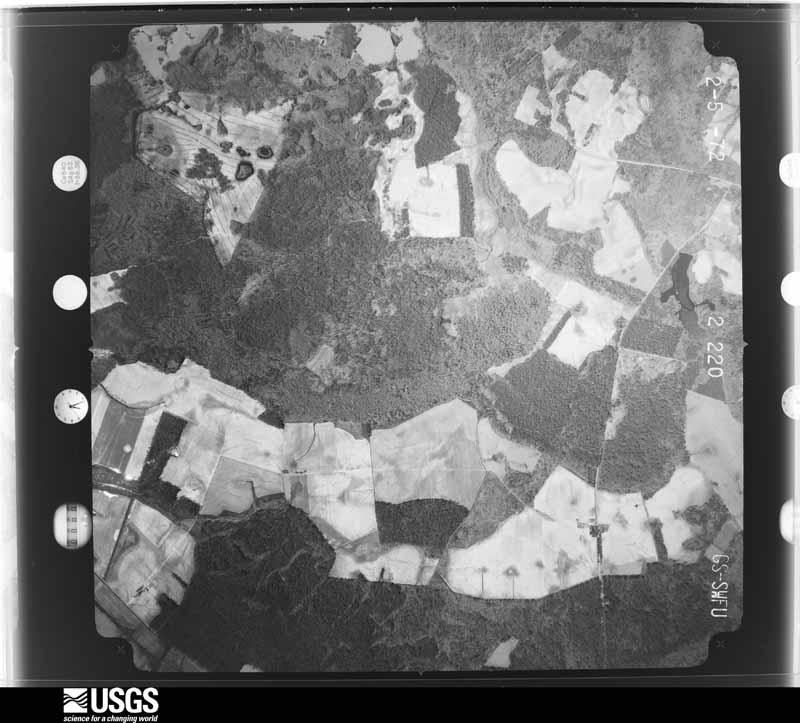
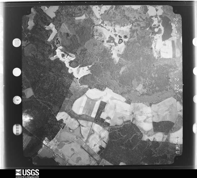
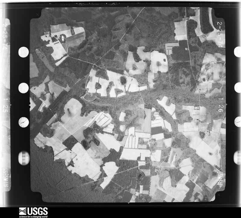
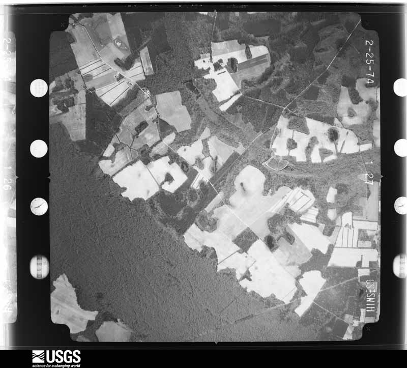



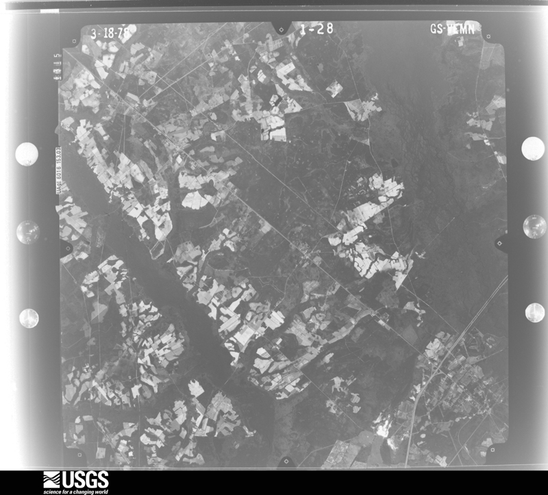


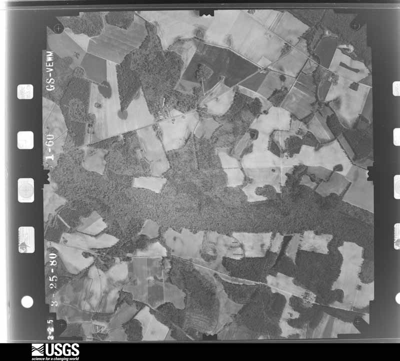
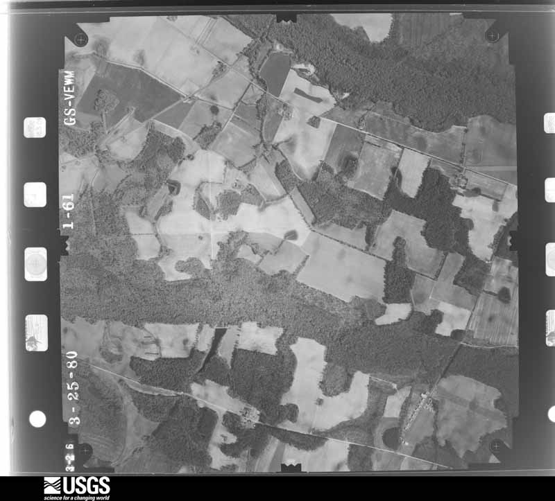
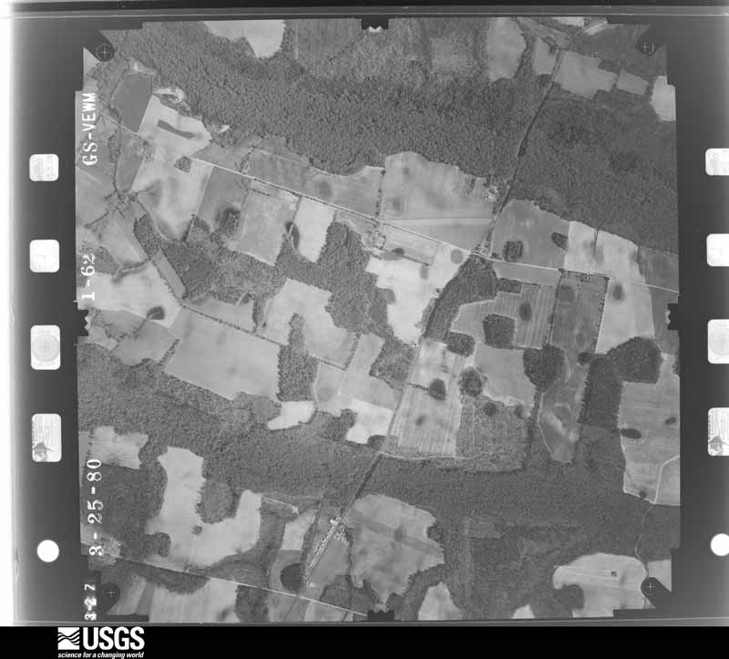
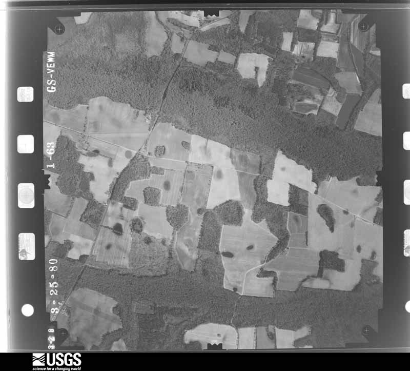
The thermometers that kept this county's weather, and the gages that measured the flow of its streams, as the federal records hold them. The extremes below are measured values from those records, not estimates.
Who lived here in 1950, one enumeration district at a time, as the Census Bureau described each district. Each row opens its official National Archives result, with Population Schedules and ED Maps available there.
Every wildfire the federal occurrence database records inside this county: 1,784 of them, burning about 7,736 acres. 78 started naturally and 380 were recorded as arson. Each settlement page carries the fires within five miles of it.
| Reported cause | Fires |
|---|---|
| Debris and open burning | 643 |
| Missing data/not specified/undetermined | 513 |
| Arson/incendiarism | 380 |
| Equipment and vehicle use | 90 |
| Natural | 78 |
| Misuse of fire by a minor | 42 |
| Smoking | 14 |
| Railroad operations and maintenance | 9 |
| Power generation/transmission/distribution | 7 |
| Other causes | 4 |
| Recreation and ceremony | 3 |
| Fireworks | 1 |
The five largest, by the area the report gives. Three of them were set deliberately.
| Date | Cause | Size | Reported by | Name on the report |
|---|---|---|---|---|
| 2 March 2008 | Arson/incendiarism | 346 acres | South Carolina Forestry Commission | HARPER |
| 9 July 2000 | Debris and open burning | 281 acres | South Carolina Forestry Commission | not named |
| 18 March 1999 | Arson/incendiarism | 186 acres | South Carolina Forestry Commission | not named |
| 26 March 2018 | Debris and open burning | 180 acres | South Carolina Forestry Commission | not named |
| 20 February 2007 | Arson/incendiarism | 125 acres | South Carolina Forestry Commission | not named |
| 15 April 2006 | Debris and open burning | 120 acres | South Carolina Forestry Commission | not named |
| 21 June 2014 | Natural | 100 acres | South Carolina Forestry Commission | not named |
| 10 February 2009 | Debris and open burning | 95 acres | South Carolina Forestry Commission | not named |
Every settlement page carries the fires within five miles of it - see the settlement index below.
The NOAA Storm Events Database holds 401 reports for this county, causing 5 deaths, 67 injuries and about $1,030,600 in recorded property damage. Each settlement page carries the reports that name it.
| Kind of event | Reports |
|---|---|
| Thunderstorm Wind | 314 |
| Hail | 50 |
| Tornado | 17 |
| Flash Flood | 17 |
| Lightning | 1 |
| Flood | 1 |
| Heavy Rain | 1 |
The most serious of them, by death, then injury, then recorded damage. The accounts are quoted exactly as the forecast office filed them.
| When | Event | Place named | Harm | What the report says |
|---|---|---|---|---|
| April 2020 | Tornado (EF4) | Estill Muni Arpt | 5 killed, 60 hurt | A National Weather Service Storm Survey Team confirmed an EF-4 tornado with an estimated maximum wind speed of 175 mph in central Hampton County. ||The tornado began just north of Collie Road, approximately 3 miles west-northwest of Scotia, South Carolina, snapping and uprooting trees and causing damage to the Federal Correctional Institution of Estill along its northeast track. The tornado then continued northeast, crossing over Highway 321 near the intersection with County Road S-25-35 before gaining strength and causing substantial damage. Beyond this point, the unusually long track and wide tornado damaged and destroyed many residences, including mobile and single family homes along its entire path. A few automobiles were also tossed/rolled 50 to 75 yards from their original locations. In addition, the tornado reached a maximum width of about 0.75 mile, causing extensive damage to thousands of trees and numerous power lines. At times, the damage pattern suggested that the tornado may have consisted of multiple vortices, which can occur in stronger tornadoes.||The most significant structural damage occurred just south of Estill, South Carolina and across Nixville, South Carolina, where at least six residences were destroyed. After crossing Highway 321 and continuing a northeast track, the tornado began producing EF-2 to EF-3 damage to residences along Sprayfield Road to Lena Expressway. The tornado then continued northeast where it completely destroyed a mobile home near the intersection of Highway 3 and Highway 601, tragically claiming the lives of 2 adult males. Continuing on a northeast track, the tornado heavily damaged homes near the intersection of Turner Expressway and Brandy Lane, including completely destroying a mobile home that tragically claimed the lives of 2 adult females and 1 adult male. The tornado then reached peak EF-4 intensity along Lento Road where the roof and all exterior/interior walls of a two story home were removed and dispersed across the yard. The tornado then began a weakening trend while tracking further northeast, eventually crossing Highway 278, Yemassee Highway and ending approximately 1 mile beyond the intersection of Old Salkehatchie Highway and Archie Road before the Hampton/Colleton County line. ||Overall, the tornado path stretched approximately 24 miles, claiming the lives of 5 individuals in the hardest hit areas just south of Estill, South Carolina and across Nixville, South Carolina. Additionally, 60 people sustained injuries associated with the tornado tracking through this hardest hit area, including a few individuals that were thrown 30 to 50 yards from mobile homes and individuals that were in homes that received EF-3 to EF-4 damage. |
| March 1980 | Tornado (F1) | not stated | 6 hurt, $250,000 | no account filed |
| November 2004 | Thunderstorm Wind | Miley | 1 hurt | A tree was knocked down onto a car resulting in a minor injury. |
| November 1974 | Tornado (F0) | not stated | $250,000 | no account filed |
| August 2024 | Flash Flood | Miley | $100,000 | A Hampton County emergency manager reported two homes flooded along Willard Street in the town of Hampton, South Carolina. In addition, several roads were washed out or flooded across the county. |
| August 2023 | Flash Flood | Hampton | $30,000 | A trained spotter provided video of flood waters rushing from a creek and surrounding a house in the 500 Block of Willard Street Extension due to heavy rainfall associated with Tropical Storm Idalia. An emergency manager also reported railroad tracks were beginning to wash out near the B and S Cleaners and unpaved Smith Road completely washed out near the intersection with Hickory Hill Road. Daily rainfall amounts up to 7.33 inches were recorded by the time of flash flooding starting across the area. |
| July 2012 | Thunderstorm Wind | Hampton | $30,000 | Trees and powerlines down countywide. More than 1000 customers were still without power at 1030 am Monday. |
| August 2011 | Thunderstorm Wind | Cummings | $30,000 | Broadcast media reported a roof ripped off a trailer and several pecan trees uprooted, near Barkerville, South Carolina. |
| June 2010 | Thunderstorm Wind | Mauldins Mill | $25,000 | An emergency manager reported numerous trees blown down, tin ripped off a shed, a pump house damaged, a hood from an 18 wheeler carried across a yard and a small wooden goat pen destroyed. |
| November 1982 | Tornado (F1) | not stated | $25,000 | no account filed |
| May 1956 | Tornado (F1) | not stated | $25,000 | no account filed |
| July 2006 | Thunderstorm Wind | Hampton | $20,000 | Widespread trees down across city. |
| July 2012 | Thunderstorm Wind | Estill | $15,000 | The Hampton County warning point reported trees and powerlines were blown down throughout the city of Estill. Some streets impacted by fallen trees include 3rd Street...Wyman Blvd...Applebee Street and Morrison Avenue South. The entire city was without power. |
| April 2011 | Thunderstorm Wind | Cummings | $15,000 | Law enforcement reported roof damage to a business and debris deposited on railroad tracks. |
| June 2010 | Thunderstorm Wind | Hampton | $10,000 | An Emergency Manager reported minor roof damage at Maxway on West Elm Street. The Emergency Manager also reported that 5 trees were snapped behind the store. A sheet metal carport was also flipped on top of each other at Western Auto. |
| June 2006 | Thunderstorm Wind | Hampton | $10,000 | Tree down on a house in Hampton. Other tree down just outside of Hampton and in Brunson. |
| August 2024 | Flood | Mc Phersonville | $5,000 | A Hampton County emergency manager reported that the shoulder of Hendersonville Highway was washed out. |
| July 2023 | Thunderstorm Wind | Hampton Varnville Ar | $5,000 | Hampton County dispatch reported several trees down outside the towns of Hampton and Varnville due to thunderstorm outflow. |
| May 2011 | Thunderstorm Wind | Estill | $5,000 | Law Enforcement reported trees down along Highway 601 in Estill, South Carolina. |
| March 2009 | Thunderstorm Wind | Miley | $5,000 | The public reported several trees uprooted and a few snapped off about 15 feet above the ground in Miley, South Carolina. |
| June 2006 | Thunderstorm Wind | Estill | $5,000 | Power lines down near intersection of Highway 321 and 5th St. in Estill. |
| May 2006 | Thunderstorm Wind | Crocketville | $5,000 | Trees and powerlines down. |
| May 2006 | Thunderstorm Wind | Early Branch | $5,000 | Trees and powerlines down. |
| July 2006 | Thunderstorm Wind | Hampton | $5,000 | Trees and powerlines down. |
| June 1995 | Thunderstorm Wind | Estill | $5,000 | Power outages. |
| June 1995 | Thunderstorm Wind | Scotia-Shiree Areas | $5,000 | no account filed |
| August 2011 | Thunderstorm Wind | Varnville | $4,000 | Broadcast media reported trees down on Highway 278 and Highway 68 near Varnville. |
| June 2011 | Thunderstorm Wind | Varnville | $4,000 | A county official reported numerous trees down along Yemassee Highway and Walterboro Highway. |
| July 2010 | Thunderstorm Wind | Estill | $4,000 | A trained weather spotter reported several trees of small to medium size down near Estill, South Carolina. |
| April 2006 | Thunderstorm Wind | Hampton | $4,000 | Thunderstorm winds knocked down 4 large trees and damaged power lines. |
| June 2023 | Thunderstorm Wind | Hampton Varnville Ar | $3,000 | The Hampton County 911 Call Center reported 2 trees down on Wade Hampton Road between McDill Lane and Highway 363 and another tree down on Cemetery Road near Highway 273. |
| March 2008 | Thunderstorm Wind | Brunson | $3,000 | The tops of three pine trees were blown off 5 miles northwest of Crocketville, South Carolina. Several large trees were also blown down within 1 mile of this location. |
| June 1995 | Thunderstorm Wind | Hampton | $3,000 | Trees and power lines down in and around town. |
| June 1995 | Thunderstorm Wind | Early Branch | $3,000 | no account filed |
| July 2007 | Thunderstorm Wind | Brighton | $2,500 | Trees were reported down in Garnett. |
| August 1981 | Tornado (F1) | not stated | $2,500 | no account filed |
| July 2013 | Flash Flood | Nixville | $2,000 | Emergency Manager reported that several roads in Nixville were closed due to flash flooding. |
| July 2013 | Flash Flood | Luray | $2,000 | Three roads were reported closed in Luray due to flash flooding, including society Street. |
| July 2013 | Flash Flood | Brunson | $2,000 | Several road closures were reported closed due to flash flooding. |
| January 2012 | Thunderstorm Wind | Scotia | $2,000 | Hampton County law Enforcement reported a tree that fell down on power lines 1 mile east of Scotia, along Scotia-Furman Highway. |
| July 2012 | Thunderstorm Wind | Cummings | $2,000 | The Hampton County 911 call center relayed a report of a power line down near Cummings. A tree was also reported down near the intersection of Savannah Highway and Hope Well Road. |
| July 2012 | Thunderstorm Wind | Hampton | $2,000 | A 12 by 20 foot shed blown down. Public report relayed by broadcast media. |
| June 2011 | Thunderstorm Wind | Crocketville | $2,000 | A state official reported 2 trees down on Route 601 near Crocketville. |
| August 2011 | Thunderstorm Wind | Crocketville | $2,000 | The public reported several large branches down in their yard in Crocketville, South Carolina. Branches were greater than 2 inches in diameter. |
| July 2008 | Thunderstorm Wind | Estill | $2,000 | Trees were reported down in Estill, South Carolina. |
| May 2008 | Thunderstorm Wind | Brunson | $2,000 | A trained weather spotter reported three downed trees and numerous downed tree limbs on Prince Williams Road in Brunson, South Carolina. |
| June 2008 | Thunderstorm Wind | Hampton | $2,000 | Law enforcement reported that 4 trees were knocked down by strong thunderstorm winds in Hampton, South Carolina. One tree was down on Highway 363 south, another was down on Woody Lane, a third was down on Pawn Town Road, and a fourth was down on Ben Hazel Road. |
| May 2006 | Thunderstorm Wind | Hampton | $2,000 | Several trees down in City of Hampton. Trees also reported down over Highway 278 1 mile outside of Hampton. |
| May 2006 | Thunderstorm Wind | Hampton | $2,000 | Trees and power lines down in Crocketville, Hampton, and Estill |
| June 2006 | Thunderstorm Wind | Hampton | $2,000 | Trees and power lines down. |
| July 2006 | Thunderstorm Wind | Hampton | $2,000 | Several trees down. |
| June 2006 | Thunderstorm Wind | Hampton | $2,000 | Tree down on powerline on Highway 363, |
| June 2006 | Thunderstorm Wind | Gifford | $2,000 | Trees down. |
| June 2006 | Thunderstorm Wind | Luray | $2,000 | Trees down. |
| November 2006 | Thunderstorm Wind | Varnville | $2,000 | Numerous Trees and Power lines down. Scattered power outages. |
| June 1995 | Thunderstorm Wind | not stated | $2,000 | Large tree limbs across US Highway 321. |
| June 2023 | Thunderstorm Wind | Hampton | $1,500 | The public reported a large limb down on a power line along Highway 601 North just south of Hampton, South Carolina. |
| February 2012 | Thunderstorm Wind | Shirley | $1,500 | Trees reported blown down along Augusta Stage Coach Road. |
| February 2012 | Thunderstorm Wind | Brighton | $1,500 | Trees blown down along Hopewell Road. |
| July 2012 | Thunderstorm Wind | Gifford | $1,500 | Two trees were reported down along Highway 363 near Lake Warren State Park. |
The Survey's mineral resources record lists 2 workings inside this county. None of them still produces: all are closed or unrecorded. Each settlement page carries the workings within five miles of it.
| Commodity | Workings |
|---|---|
| Sand and Gravel, Construction | 2 |
The least common of them first, because a county's hundredth gravel pit says nothing its first ten did not.
| Where | Site | Commodity | Status | Recorded |
|---|---|---|---|---|
| Unidentified Sand Pit | Sand and Gravel, Construction | Past Producer | Sedimentary | |
| Unidentified Sand Pit | Sand and Gravel, Construction | Unknown | Sedimentary |
Named settlements recorded in the Geographic Names Information System, each with the topographic sheets covering it. Villages, hamlets and abandoned places alike. Each is shown with the nearest named watercourse or landform and the survey quadrangle it falls on.
Hampton-Varnville census division · 29911 · On Jackson Branch · Crocketville quadrangle
16 sheets, 1918 to 1988
Hampton-Varnville census division · 29924 · Crocketville quadrangle
16 sheets, 1918 to 1988
Estill census division · 29918 · On Filly Branch · Gifford quadrangle
16 sheets, 1918 to 1988
Hampton-Varnville census division · 29944 · On House Fork · Hampton quadrangle
16 sheets, 1918 to 1988
No longer a settlement
Estill census division · 29944 · On Horsegall Creek · Grays quadrangle
16 sheets, 1919 to 1988
Estill census division · 29918 · Solomons Crossroads quadrangle
15 sheets, 1920 to 1981
Furman-Scotia census division · 29922 · Blue Springs Landing quadrangle
15 sheets, 1919 to 1981
Hampton-Varnville census division · 29924 · On Hog Branch · Crocketville quadrangle
16 sheets, 1918 to 1988
Estill census division · 29918 · Solomons Crossroads quadrangle
15 sheets, 1920 to 1981
No longer a settlement
Furman-Scotia census division · 29922 · On Millpond Branch · Shirley quadrangle
16 sheets, 1919 to 1981
Furman-Scotia census division · 29934 · On Zigzag Branch · Furman quadrangle
16 sheets, 1919 to 1988
Furman-Scotia census division · 29918 · Furman quadrangle
16 sheets, 1919 to 1988
No longer a settlement
Furman-Scotia census division · 29922 · By Stokes Bluff · Brighton quadrangle
15 sheets, 1919 to 1981
The vanished settlements of Hampton County: the places named above that are no longer on the map.
The complete index, with nothing left out. Each of these is a separate record with its own page: a federal survey report, or the case file that argued a property on to the National Register. Both are public domain and reproduced word for word.
The vanished settlements of Hampton County, the places these records name that are no longer on the map.