 Block
From the record
8 National Register listings published here.
Sources: the National Register database, National Park Service
81 topographic sheets cover 47 settlements here, and 8 properties are on the National Register of Historic Places.
8 National Register listings published here.
Sources: the National Register database, National Park Service
Taken for the Office of War Information and the Farm Security Administration, who photographed the country between 1935 and 1944. Works of United States government photographers, with no known restriction on use. Each opens its catalogue record.
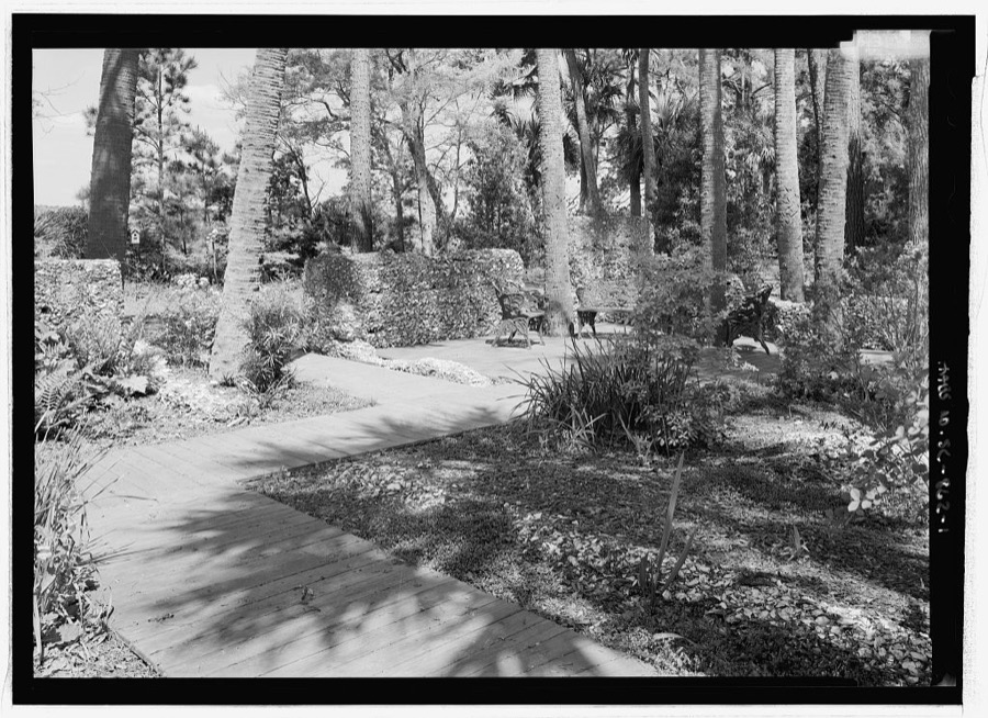
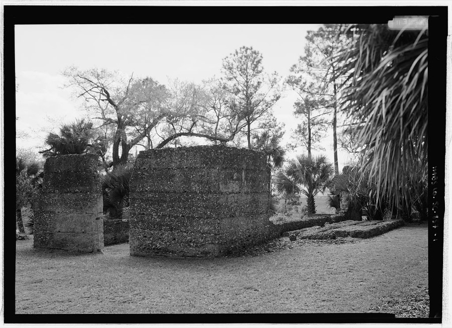
Every property in this county listed on the National Register of Historic Places, with the year it was listed and the federal nomination document.
| Photograph | Property | Type | Listed | Reference |
|---|---|---|---|---|
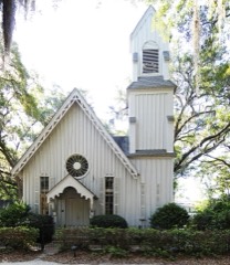 | Church of the Holy Trinity | building | 1982 | 82003869 |
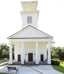 | Gillisonville Baptist Church | building | 1971 | 71000786 |
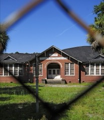 | Grays Consolidated High School | building | 07000986 | |
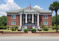 | Jasper County Courthouse | building | 1981 | 81000566 |
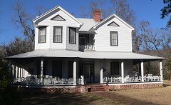 | J.C. Richardson House | building | 2014 | 14000709 |
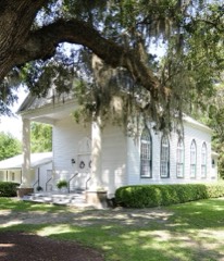 | Robertville Baptist Church | building | 1972 | 72001213 |
 | Sinclair Service Station | building | 2015 | 15000736 |
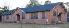 | Tillman School | building | 2016 | 16000396 |
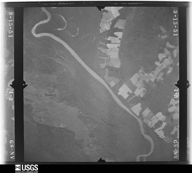
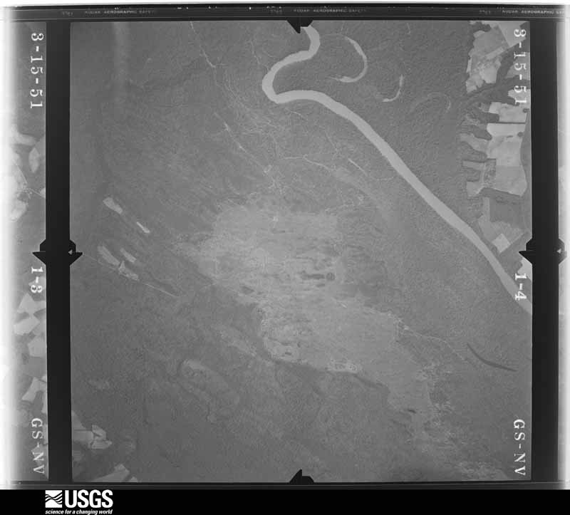
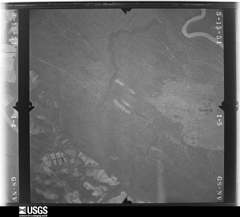
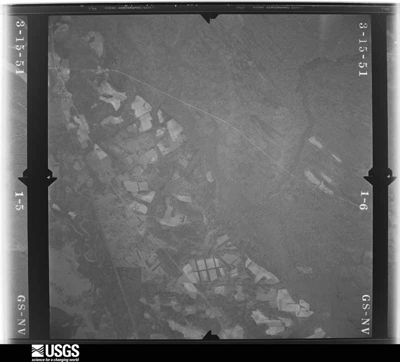
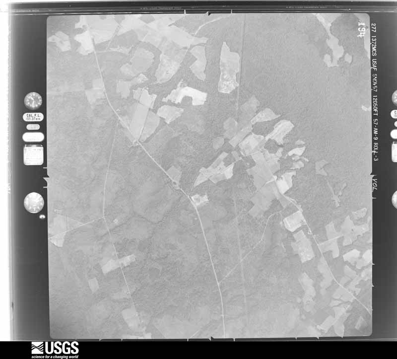
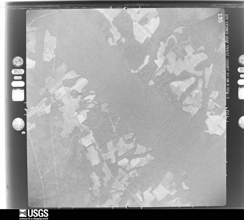
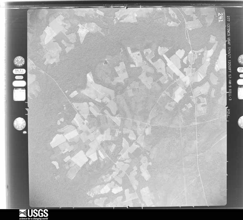
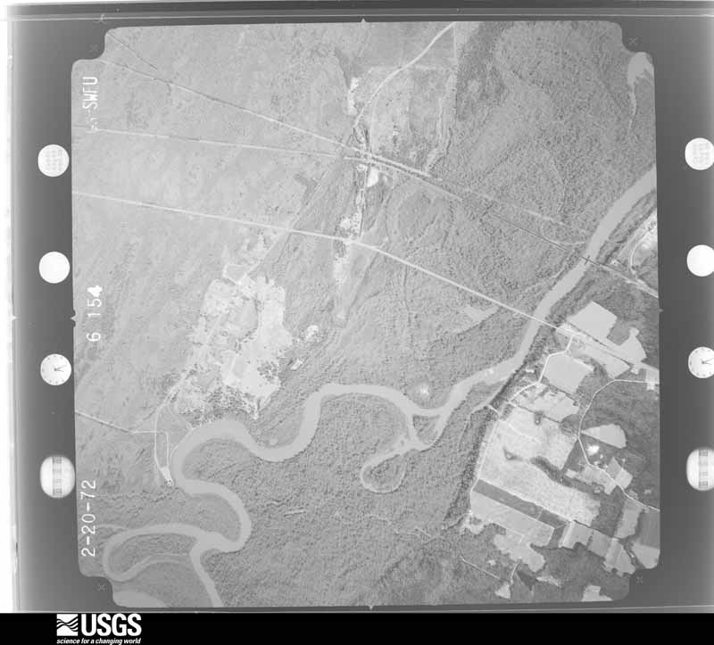
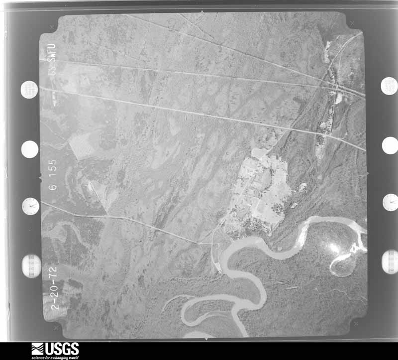
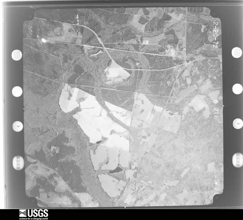
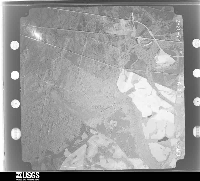
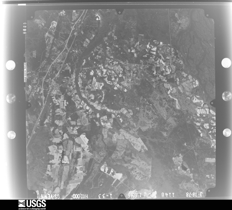
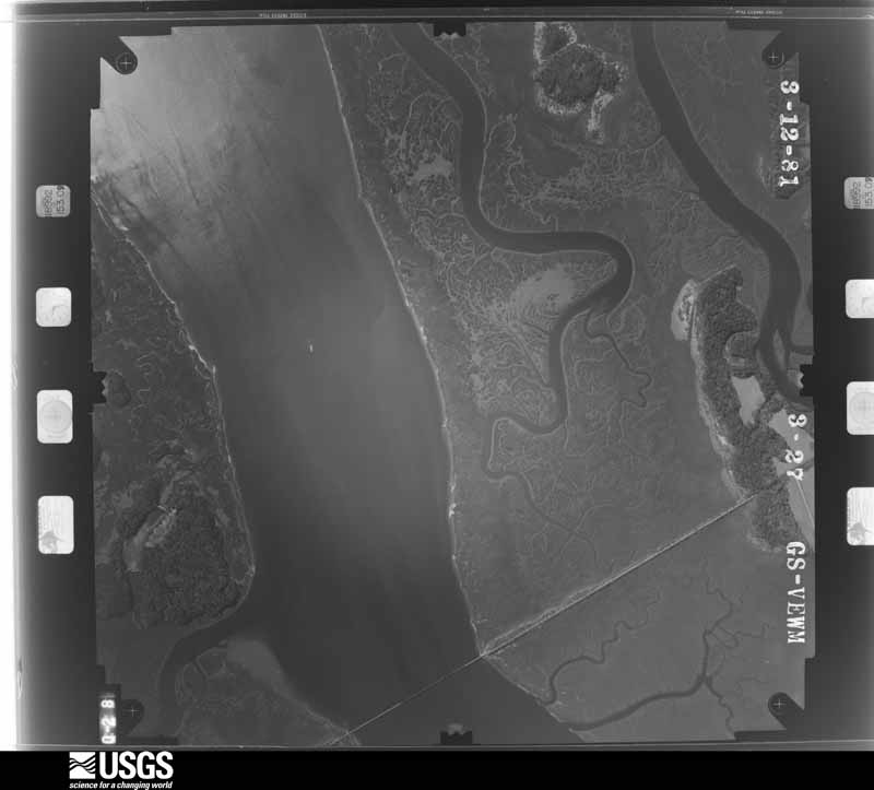
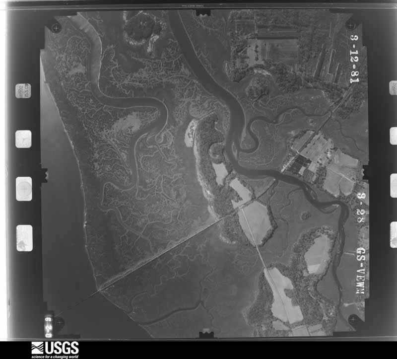
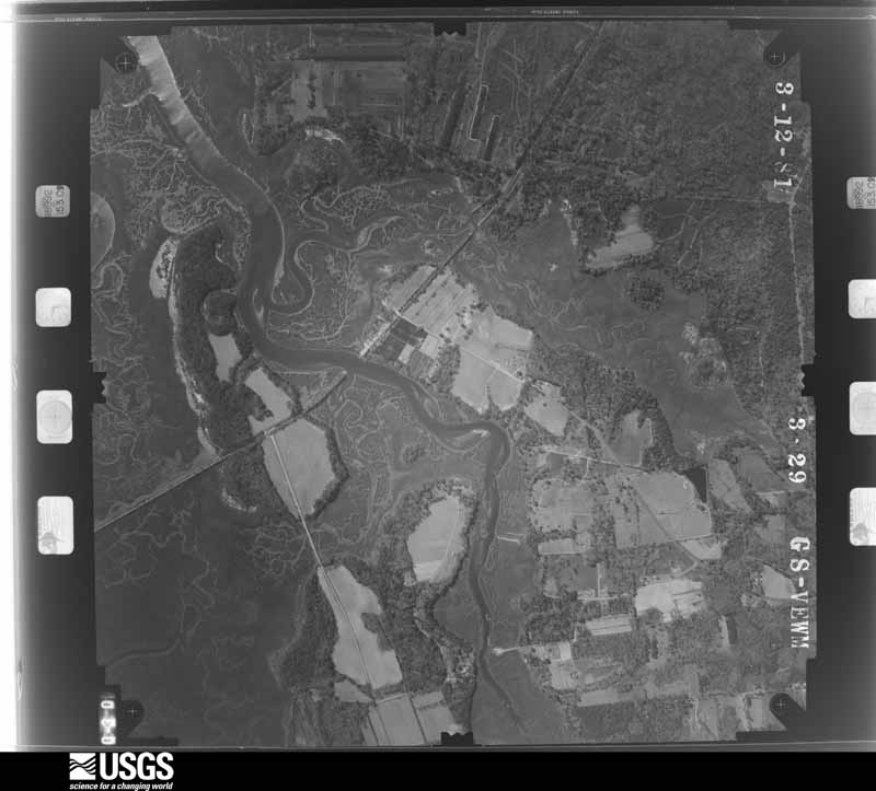
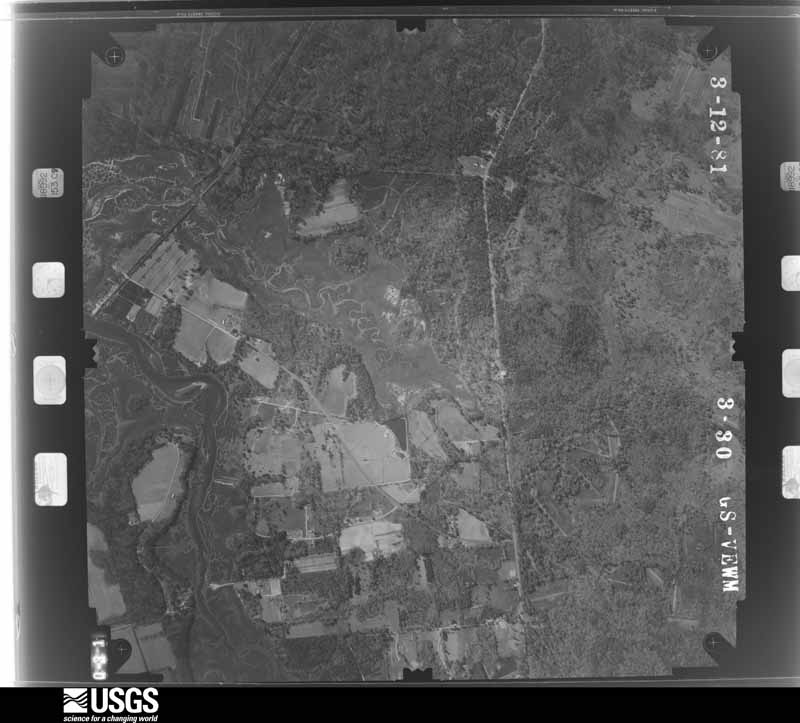
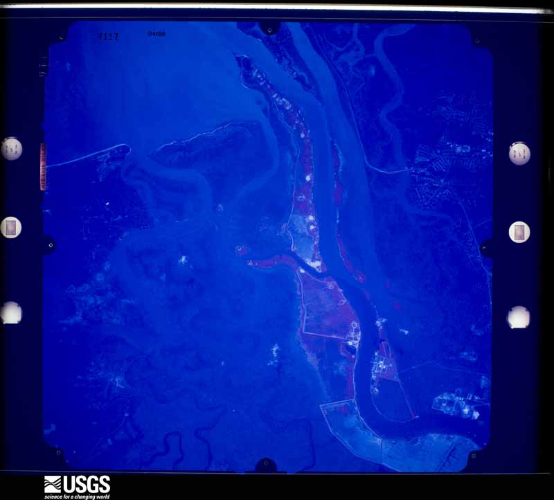
Flown by the U.S. Geological Survey between 1937 and 1989, the Aerial Photo Single Frames collection is the definitive mid-century view of the land: fields, roads and rivers as the camera saw them. The Survey holds 2,389 frames inside the rectangle that bounds this county; the 47 frames below were taken over the county itself, chosen across the decades of flights (at most four a year from that rectangle), so one flight cannot crowd out the rest. The full set is free to browse and download at EarthExplorer under the dataset Aerial Photo Single Frames.

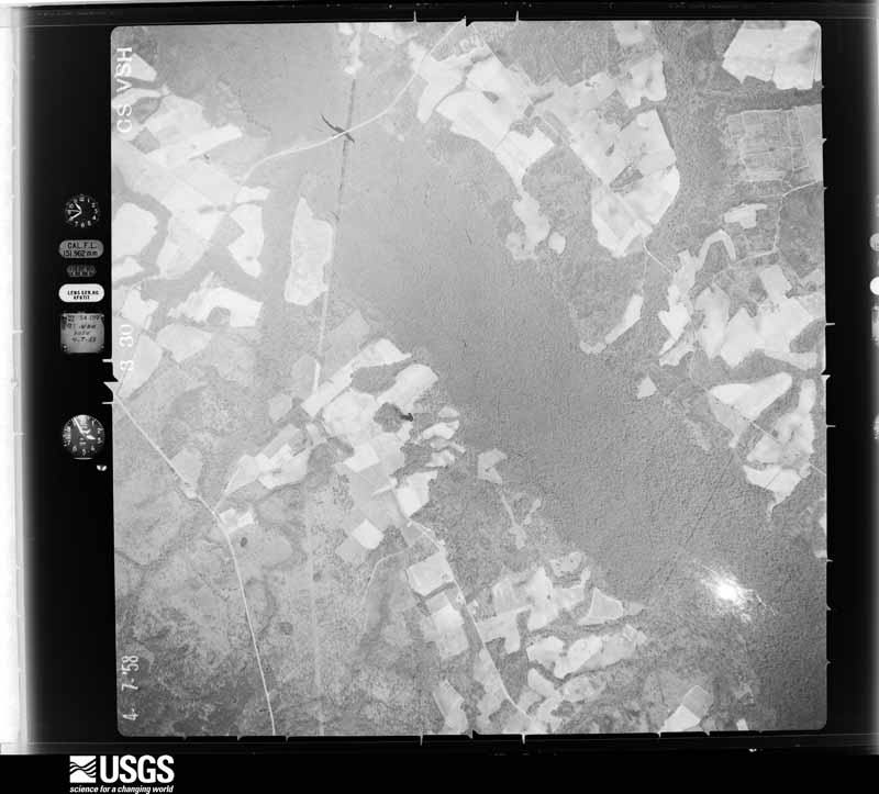
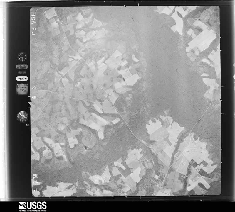
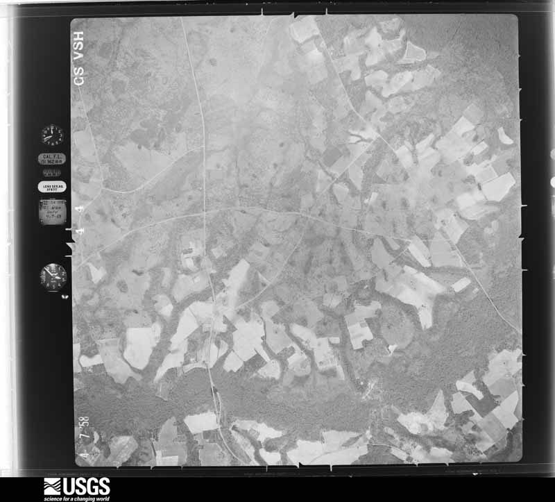
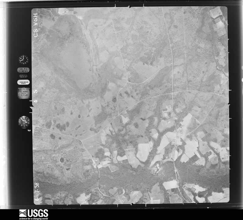
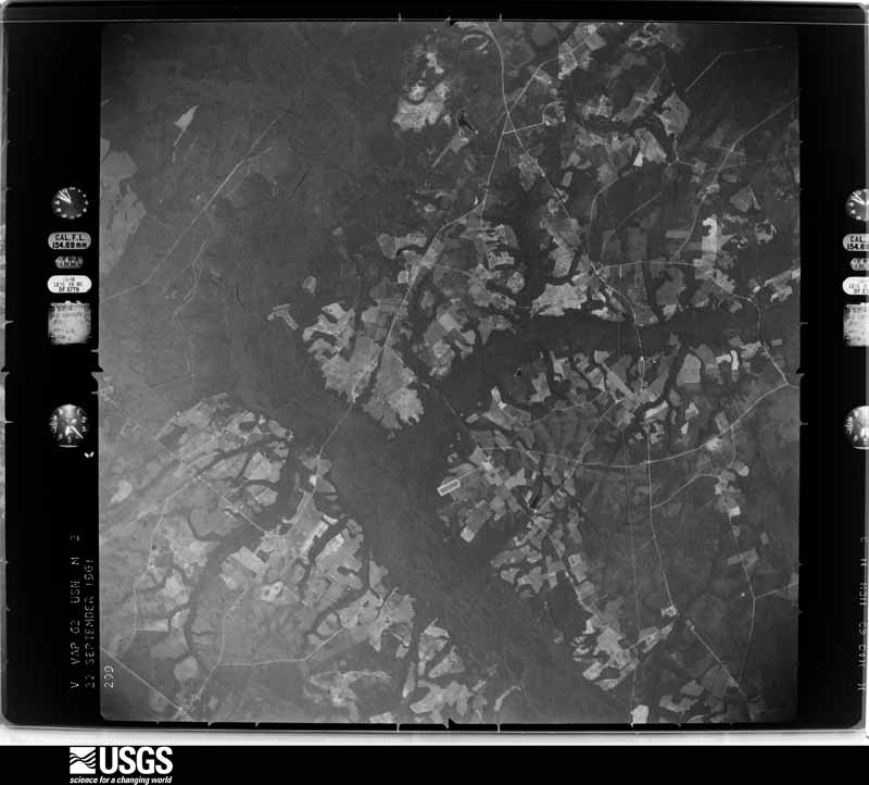
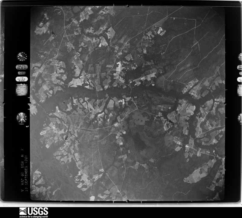
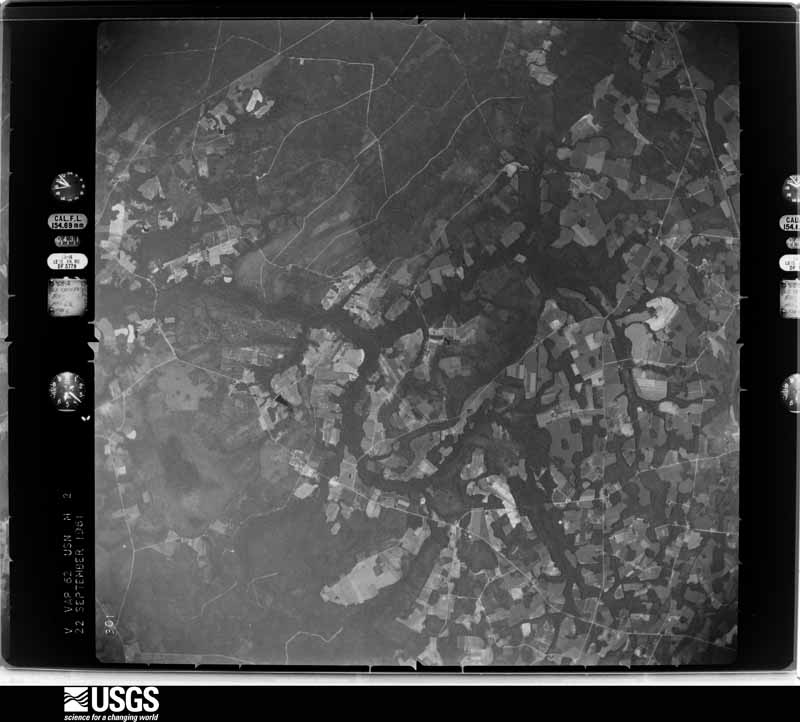
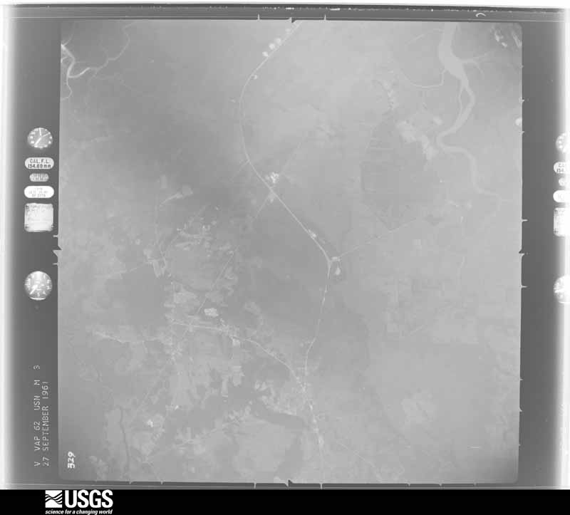
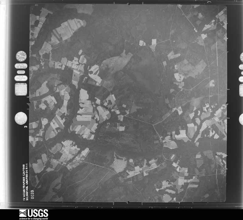
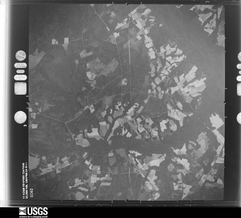
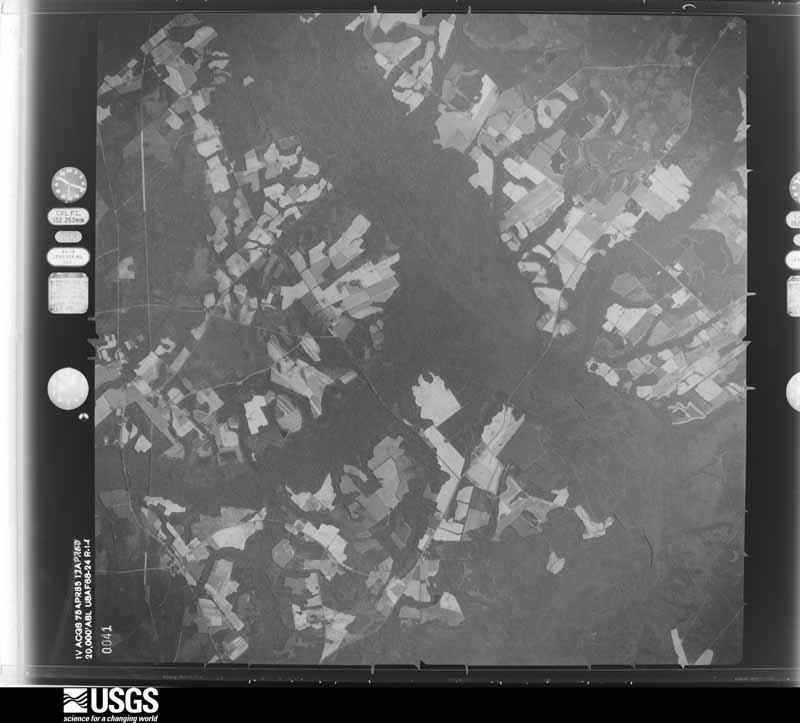
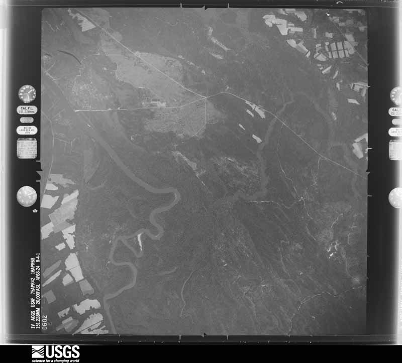
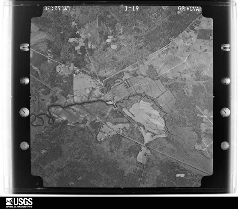
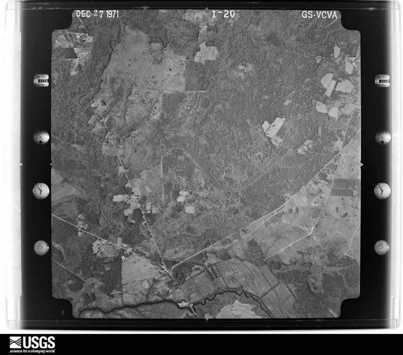
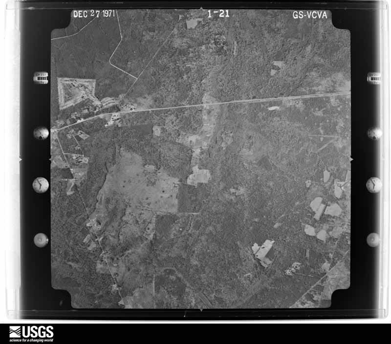
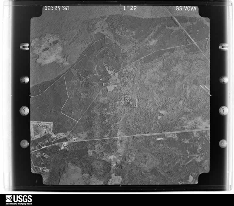
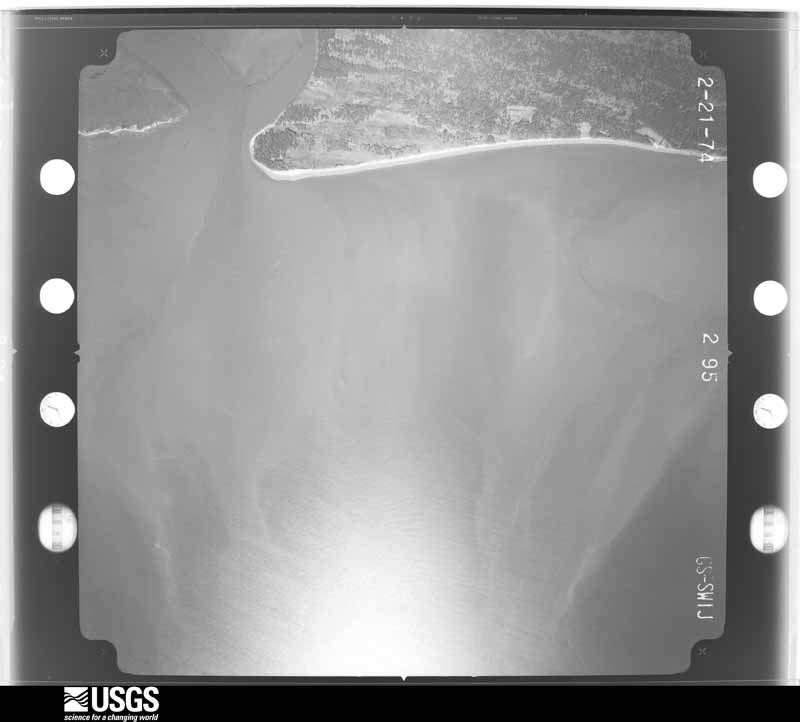
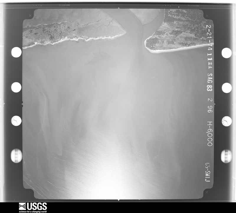



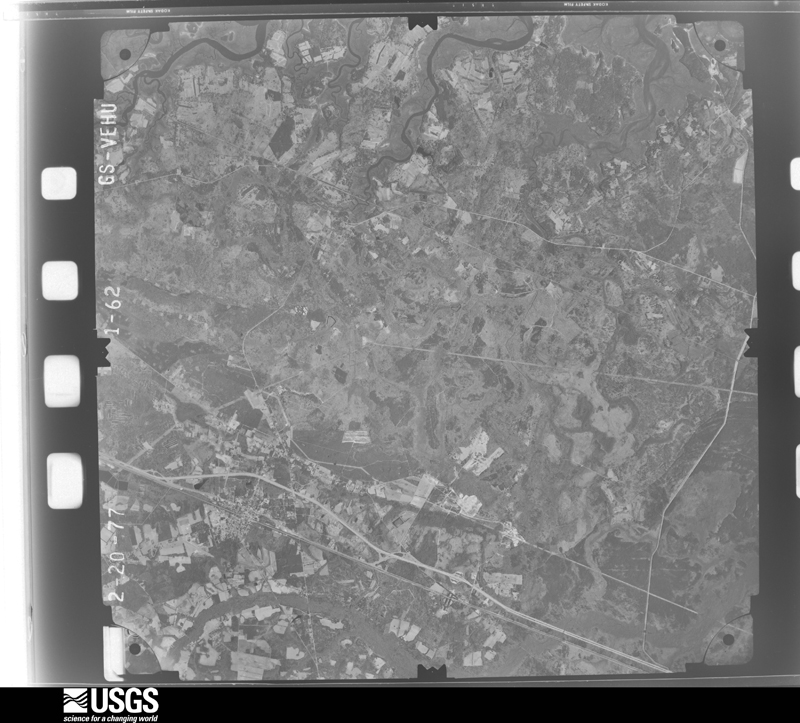
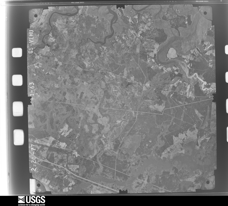
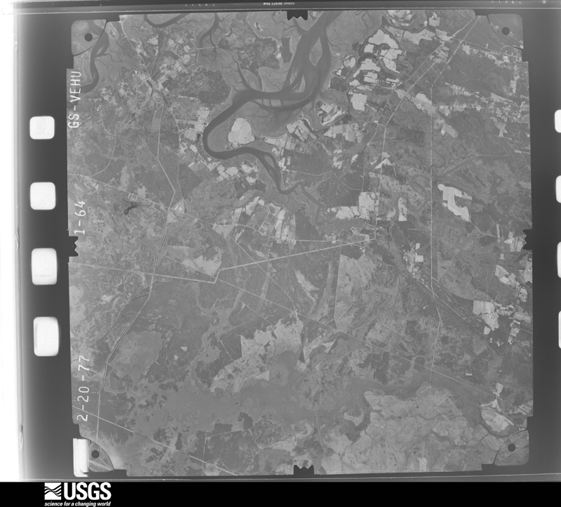
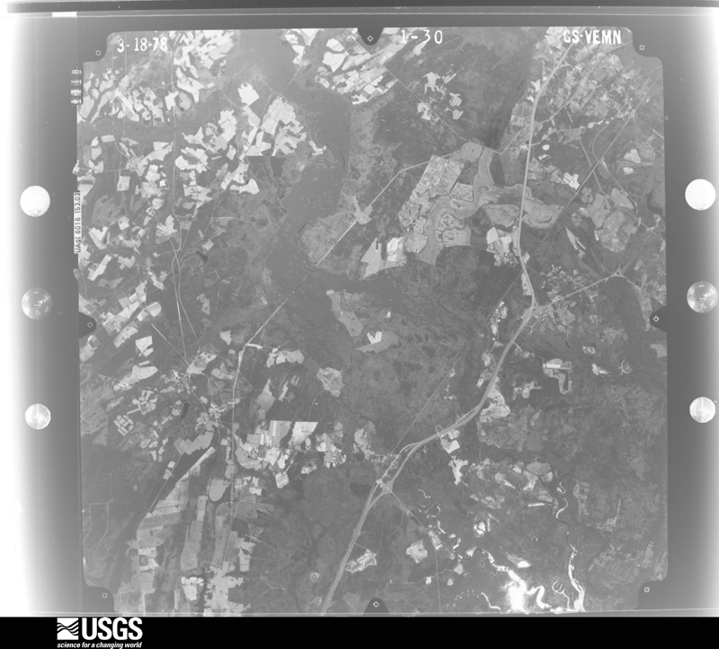
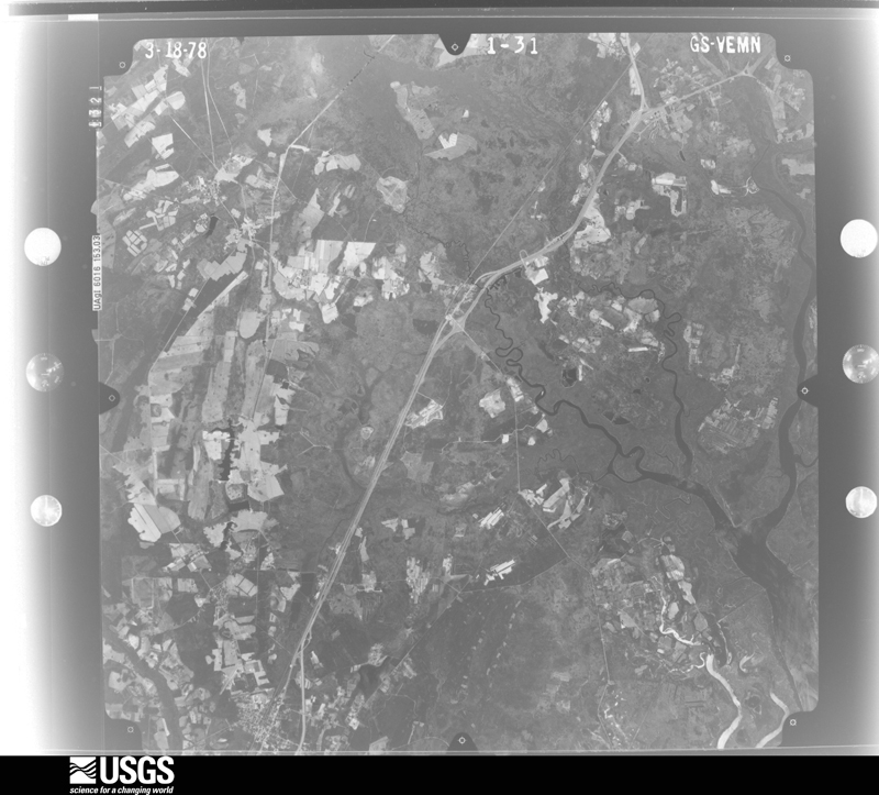
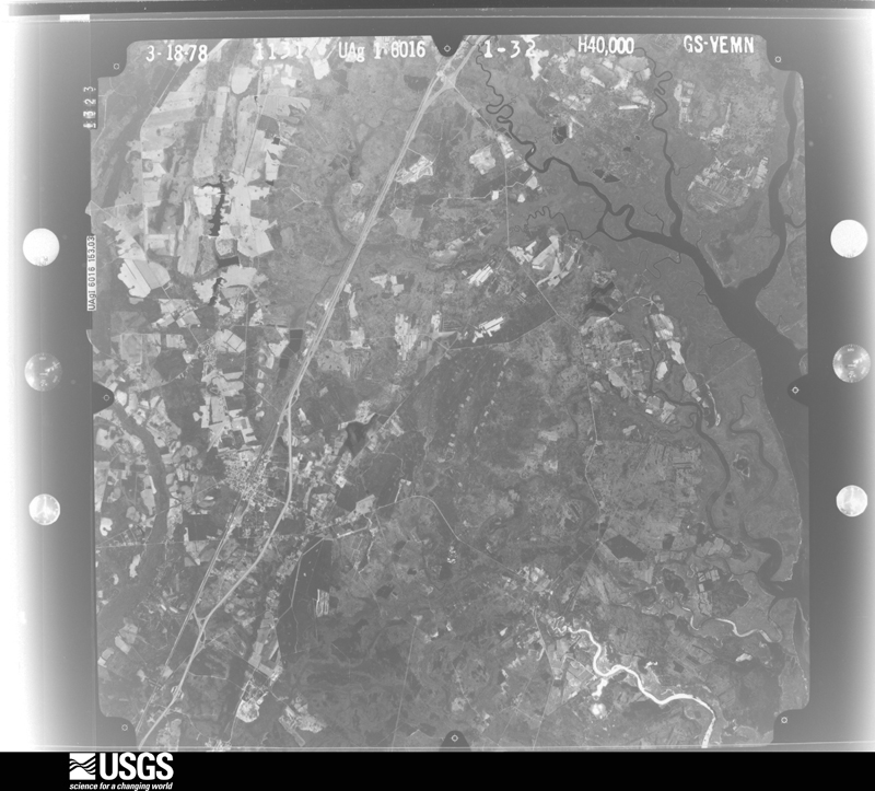


The thermometers that kept this county's weather, and the gages that measured the flow of its streams, as the federal records hold them. The extremes below are measured values from those records, not estimates.
Who lived here in 1950, one enumeration district at a time, as the Census Bureau described each district. Each row opens its official National Archives result, with Population Schedules and ED Maps available there.
Every wildfire the federal occurrence database records inside this county: 2,978 of them, burning about 26,789 acres. 56 started naturally and 661 were recorded as arson. Each settlement page carries the fires within five miles of it.
| Reported cause | Fires |
|---|---|
| Missing data/not specified/undetermined | 1084 |
| Debris and open burning | 970 |
| Arson/incendiarism | 661 |
| Equipment and vehicle use | 91 |
| Natural | 56 |
| Misuse of fire by a minor | 52 |
| Smoking | 24 |
| Railroad operations and maintenance | 22 |
| Other causes | 8 |
| Power generation/transmission/distribution | 6 |
| Recreation and ceremony | 3 |
| Fireworks | 1 |
The five largest, by the area the report gives. One of them was set deliberately.
| Date | Cause | Size | Reported by | Name on the report |
|---|---|---|---|---|
| 8 March 1994 | Debris and open burning | 1,245 acres | Savannah Refuges | EASTMARSH |
| 22 March 2016 | Debris and open burning | 1,016 acres | Savannah Refuges | BARROW'S FIRE |
| 8 March 1994 | Missing data/not specified/undetermined | 761 acres | South Carolina Forestry Commission | not named |
| 27 March 1994 | Missing data/not specified/undetermined | 571 acres | South Carolina Forestry Commission | not named |
| 21 February 2011 | Missing data/not specified/undetermined | 435 acres | Savannah Refuges | PINTAIL |
| 20 February 2002 | Arson/incendiarism | 326 acres | South Carolina Forestry Commission | not named |
| 15 May 2001 | Natural | 321 acres | South Carolina Forestry Commission | not named |
| 16 March 1996 | Missing data/not specified/undetermined | 300 acres | South Carolina Forestry Commission | not named |
Every settlement page carries the fires within five miles of it - see the settlement index below.
The NOAA Storm Events Database holds 488 reports for this county, causing no deaths, 5 injuries and about $979,000 in recorded property damage. Each settlement page carries the reports that name it.
| Kind of event | Reports |
|---|---|
| Thunderstorm Wind | 400 |
| Hail | 50 |
| Flash Flood | 21 |
| Tornado | 10 |
| Funnel Cloud | 3 |
| Lightning | 3 |
| Heavy Rain | 1 |
The most serious of them, by death, then injury, then recorded damage. The accounts are quoted exactly as the forecast office filed them.
| When | Event | Place named | Harm | What the report says |
|---|---|---|---|---|
| January 2006 | Thunderstorm Wind | Switzerland | 2 hurt, $5,000 | Thunderstorm winds knocked down several trees just west of Switzerland. Also, a large limb broke off a tree and landed on a car in Ridgeland. Two occupants in the car received minor cuts and bruises. |
| August 2016 | Lightning | Grahamville | 2 hurt | The Jasper County 911 Call Center reported 2 pedestrians injured by lightning in Ridgeland. |
| September 2004 | Tornado (F1) | Hardeeville | 1 hurt | A tornado knocked down limbs and trees, one of which fell on a mobile home causing 1 injury. |
| June 2012 | Tornado (EF1) | Switzerland | $400,000 | A National Weather Service damage survey team evaluated damage that occurred with a severe thunderstorm that moved through portions of central Jasper County Monday afternoon. The team found considerable damage to trees south of Ridgeland with a damage pattern consistent with a tornado.||The tornado touched down just west of Jasper Road between the communities of Okatie and Switzerland and moved rapidly east-northeast before lifting near the intersection of South Carolina Highway 462 and Snake road. The worst damage occurred between Jasper Road and Riley Field Road where the team estimated between 300 and 500 medium to large-size trees were either snapped or uprooted. Some debarking of trees was also noted. This degree of|tree damage was consistent with an ef-1 tornado on the enhanced Fujita scale with winds estimated to be between 85 and 95 mph. |
| August 2024 | Flash Flood | Gillisonville | $100,000 | Jasper County Emergency Management reported Langfordville Road collapsed over Beaverdam Branch, washing a car and occupant downstream. An adult female was rescued from the floodwaters without injury. |
| April 1998 | Tornado (F1) | Hardeeville | $50,000 | Numerous trees uprooted or snapped off, shingles taken off of nearby roofs, and several other buildings damaged. This F1 tornado was spawned by the same supercell that produced the F3 tornado in Bryan County, Georgia that moved into western Effingham County and lifted with no further touchdown until the Hardeeville area. |
| August 1997 | Thunderstorm Wind | Hardeeville | $40,000 | Trees and limbs down on cars. Power lines down |
| September 2017 | Flash Flood | Old House | $25,000 | Jasper County Emergency Management reported homes flooded and inaccessible on Cherry Hill Road near the intersection with Highway 462. At least 1 person was stranded and in need of rescue. |
| June 2012 | Thunderstorm Wind | Switzerland | $25,000 | A spotter reported a tree down and on a power line on Jasper Road. Numerous trees were also uprooted or snapped off in the woods on both sides of the road. |
| May 1965 | Tornado (F1) | not stated | $25,000 | no account filed |
| June 2019 | Thunderstorm Wind | Levy | $15,000 | The public reported a 30 feet tree limb approximately 14 inches in diameter down on a house and causing significant roof damage along South Okatie Highway. |
| June 2009 | Thunderstorm Wind | Levy | $15,000 | Law Enforcement reported numerous trees and power lines down in Levy, South Carolina, with one tree falling through a roof of a home. |
| July 2012 | Thunderstorm Wind | Grahamville | $12,000 | Estimated 10 to 15 trees and power lines down in the town of Ridgeland. |
| May 2016 | Flash Flood | Grahamville | $10,000 | Jasper County dispatch reported significant flooding ongoing on Interstate 95 near mile marker 22. Both the northbound and southbound lanes are closed and completely impassable. Highway 17 is also flooded near Interstate 95 and a gas station has an unknown amount of water in the building. A few cars are submerged in the flood waters on both Interstate 95 and Highway 17. Interstate 95 was closed between exit 18 and exit 24 for almost 24 hours. |
| July 2012 | Thunderstorm Wind | Levy | $10,000 | Dispatch Center reported a tree on a car on Mungin Road. No injuries. |
| May 2010 | Thunderstorm Wind | Old House | $10,000 | The public reported numerous 40 to 50 foot tall trees down in Old House, South Carolina. |
| May 2008 | Thunderstorm Wind | Gillisonville | $9,000 | The emergency manager of Jasper County reported that a tree was knocked down through a mobile home and many other trees were downed on Highway 278 between Gillisonville and the county line. |
| July 2007 | Thunderstorm Wind | Grahamville | $8,000 | Trees and Power Lines were reported down in 6 locations in Ridgeland, SC. |
| August 2011 | Thunderstorm Wind | Tillman | $6,000 | The Jasper county warning point reported numerous trees down around Tillman, South Carolina. |
| August 2011 | Thunderstorm Wind | Grahamville | $6,000 | The Jasper county warning point reported numerous trees down around Mitchellville, South Carolina. |
| July 2007 | Thunderstorm Wind | Grahamville | $6,000 | A water tank and pump house were reported to have been ripped out of the ground. In addition, several trees were reported down. |
| April 2006 | Thunderstorm Wind | Ridgeland | $6,000 | Trees down on Gillison Branch Road. Power Lines down in city. |
| June 1995 | Thunderstorm Wind | Southern Jasper | $6,000 | Trees down and power outages. |
| March 2012 | Thunderstorm Wind | Gillisonville | $5,000 | Jasper County 911 call center reported several trees down on Grays Highway 4 miles south southwest of Gillisonville. |
| July 2009 | Thunderstorm Wind | Levy | $5,000 | Law Enforcement reported numerous trees down throughout the Levy and Bellinger Hill areas. |
| June 2009 | Thunderstorm Wind | Levy | $5,000 | Trees and power lines were reported down along Highway 170 in Levy, South Carolina. |
| June 1995 | Hail | Pineland | $5,000 | Three-quarters inch hail and trees down. |
| June 2008 | Thunderstorm Wind | Old House | $4,500 | Several trees were reported blown down on Strawberry Hill Road. One tree fell on and damaged a vehicle. |
| July 2023 | Thunderstorm Wind | Bashan | $4,000 | Jasper County dispatch reported 4 power poles down in the 2000 block of West Frontage Road. |
| June 2011 | Thunderstorm Wind | Grays | $4,000 | County officials relayed numerous reports of trees down. |
| August 2011 | Thunderstorm Wind | Hardeeville | $4,000 | The Hardeeville Fire Department reported 4 trees down in Hardeeville. |
| June 2013 | Thunderstorm Wind | Purrysburg | $3,000 | The South Carolina Department of Highways reported 3 trees down near the intersection of Purrysburg Road and Honey Hill Road. |
| July 2012 | Thunderstorm Wind | Hardeeville | $3,000 | Law Enforcement reported one tree and power line down along Deerfield Road in Hardeeville. |
| July 2012 | Thunderstorm Wind | Tillman | $3,000 | Tree down on Long Road near Tillman Road. Power line down on Meriweather Drive near Tillman road. |
| September 2009 | Thunderstorm Wind | Gillisonville | $3,000 | The Jasper County Warning Point reported trees and power lines down along portions of Gillison Bridge Road, between Tarboro, South Carolina and Gillisonville, South Carolina. |
| July 2007 | Thunderstorm Wind | Tulifiny | $3,000 | Trees were reported down in 3 locations around Point South. |
| January 2006 | Thunderstorm Wind | Levy | $3,000 | Thunderstorm winds knocked down trees. |
| June 1995 | Thunderstorm Wind | not stated | $3,000 | Power lines down. |
| July 2007 | Thunderstorm Wind | Tarboro | $2,500 | Trees were reported down in Tarboro. |
| June 2007 | Thunderstorm Wind | Hardeeville | $2,500 | Five trees were reported down. |
| May 1984 | Tornado (F1) | not stated | $2,500 | no account filed |
| December 2012 | Thunderstorm Wind | Ridgeland | $2,000 | A tree was blown down along Tillman Road near the Wagon Branch Loop. Large tree limbs were also blown down near the intersection of West Main Street and Rail Road Avenue. |
| July 2011 | Thunderstorm Wind | Grays | $2,000 | The Jasper County Warning Point, reported trees down at Heritage Road and Grays Highway in Grays, South Carolina. |
| June 2011 | Thunderstorm Wind | Grays | $2,000 | Law enforcement reported trees down in the community of Grays. |
| August 2011 | Thunderstorm Wind | Grays | $2,000 | Law enforcement reported trees down near the intersection of Possum Corner Road and Grays Highway. |
| August 2011 | Thunderstorm Wind | Grahamville | $2,000 | Law enforcement reported trees down on Glover Road. |
| August 2011 | Thunderstorm Wind | Old House | $2,000 | Law enforcement reported trees down on Chickadee Street. |
| August 2011 | Thunderstorm Wind | Old House | $2,000 | Law enforcement reported trees down on Honey Lane. |
| June 2010 | Thunderstorm Wind | Gillisonville | $2,000 | Law enforcement reported multiple trees down in Gillisonville. |
| June 2009 | Thunderstorm Wind | Tarboro | $2,000 | Law Enforcement reported several trees down on Route 321 in Tarboro, South Carolina. |
| July 2007 | Thunderstorm Wind | Grays | $2,000 | A few Trees and a Power Line were reported down in Grays. |
| July 2006 | Thunderstorm Wind | Old House | $2,000 | Trees and limbs down along Highway 426. |
| November 2006 | Thunderstorm Wind | Grahamville | $2,000 | Numerous trees down on eastern side of county. |
| August 2023 | Thunderstorm Wind | Tarboro | $1,750 | The Jasper County 911 Call Center reported power lines on fire due to fallen branches|near the intersection of Cotton Hill Road and Cypress Branch Road. |
| July 2011 | Thunderstorm Wind | Gillisonville | $1,500 | The Jasper County Warning Point reported trees down on Woodsville Road, 3 miles west of Gillisonville, South Carolina. |
| July 2010 | Thunderstorm Wind | Grays | $1,500 | Law enforcement reported trees down and blocking parts of Langfordville Road, 2 miles southwest of Grays, South Carolina. |
| July 2009 | Thunderstorm Wind | Levy | $1,500 | Law Enforcement reported several trees down near Mungin Creek or approximately 1 mile northeast of Levy, South Carolina. |
| March 2008 | Thunderstorm Wind | Coosawhatchie | $1,500 | The Jasper County Warning Point reported trees down along I-95 at exit 28 near Coosawhatchie, South Carolina. |
| July 2007 | Thunderstorm Wind | Hardeeville | $1,500 | A few trees were reported down in Hardeeville, SC. |
| July 2007 | Thunderstorm Wind | Coosawhatchie | $1,500 | A few Trees were reported down at the 26 mile marker of Northbound Interstate 26. |
The Survey's mineral resources record lists 8 workings inside this county. 4 still produce and 4 are closed or unrecorded. Each settlement page carries the workings within five miles of it.
| Commodity | Workings |
|---|---|
| Sand and Gravel, Construction | 6 |
| Sand | 2 |
The least common of them first, because a county's hundredth gravel pit says nothing its first ten did not.
| Where | Site | Commodity | Status | Recorded |
|---|---|---|---|---|
| Jordan Mine - Highway 46 | Sand | Unknown | Sedimentary | |
| Keiffer Mines | Sand | Producer | Sedimentary | |
| Cleckley Number 4 | Sand and Gravel, Construction | Unknown | Sedimentary | |
| Deerfield Mill | Sand and Gravel, Construction | Producer | ||
| Deerfield Pit | Sand and Gravel, Construction | Producer | Sedimentary | |
| Deerfield Sand Pit | Sand and Gravel, Construction | Producer | ||
| Mine # 4 | Sand and Gravel, Construction | Past Producer | ||
| Purry Mine | Sand and Gravel, Construction | Past Producer | Sedimentary |
Named settlements recorded in the Geographic Names Information System, each with the topographic sheets covering it. Villages, hamlets and abandoned places alike. Each is shown with the nearest named watercourse or landform and the survey quadrangle it falls on.
Hardeeville census division · 29927 · Near Dry Pine Hill · Hardeeville quadrangle
17 sheets, 1920 to 1981
Grays-Tillman census division · 29922 · On Yorkley Creek · Hardeeville NW quadrangle
15 sheets, 1920 to 1981
Ridgeland census division · 29936 · Laurel Bay quadrangle
15 sheets, 1920 to 1978
Ridgeland census division · 29912 · On Little Bees Creek · Coosawhatchie quadrangle
19 sheets, 1918 to 1990
Hardeeville census division · 29927 · Near Pennyworth Island · Savannah quadrangle
17 sheets, 1942 to 1981
No longer a settlement
Grays-Tillman census division · 29936 · Calfpen Bay quadrangle
16 sheets, 1919 to 1988
Hardeeville census division · 29927 · On Salt Water Creek · Pritchardville quadrangle
17 sheets, 1920 to 1978
Hardeeville census division · 29927 · Pritchardville quadrangle
17 sheets, 1920 to 1978
Grays-Tillman census division · 29922 · Hardeeville NW quadrangle
15 sheets, 1920 to 1981
Hardeeville census division · 29927 · Near Pennyworth Island · Savannah quadrangle
17 sheets, 1942 to 1981
No longer a settlement
Ridgeland census division · 29936 · Near Pilot Island · Sheldon quadrangle
19 sheets, 1918 to 1990
Hardeeville census division · 29927 · Hardeeville quadrangle
17 sheets, 1920 to 1981
Ridgeland census division · 29936 · Near Pilot Island · Laurel Bay quadrangle
15 sheets, 1920 to 1978
Grays-Tillman census division · 29922 · Brighton quadrangle
15 sheets, 1919 to 1981
No longer a settlement
Ridgeland census division · 29936 · Near Big Island · Ridgeland quadrangle
15 sheets, 1920 to 1978
Grays-Tillman census division · 29922 · Near Sand Hills · Pineland quadrangle
17 sheets, 1919 to 1988
Ridgeland census division · 29927 · Near Beech Island · Jasper quadrangle
16 sheets, 1920 to 1978
Ridgeland census division · 29936 · Near Partridge Hill · Ridgeland quadrangle
15 sheets, 1920 to 1978
Grays-Tillman census division · 29916 · McPhersonville quadrangle
19 sheets, 1918 to 1990
Hardeeville census division · 29927 · Hardeeville quadrangle
17 sheets, 1920 to 1981
Ridgeland census division · 29936 · On Captain Bill Creek · Coosawhatchie quadrangle
19 sheets, 1918 to 1990
Ridgeland census division · 29936 · On East Branch Boyd Creek · Laurel Bay quadrangle
15 sheets, 1920 to 1978
Ridgeland census division · 29936 · On Broad Water · Tillman quadrangle
15 sheets, 1920 to 1981
Grays-Tillman census division · 29943 · On Sand Branch · Tillman quadrangle
15 sheets, 1920 to 1981
Hardeeville census division · 29927 · On Salt Water Creek · Limehouse quadrangle
15 sheets, 1942 to 1981
The vanished settlements of Jasper County: the places named above that are no longer on the map.
The complete index, with nothing left out. Each of these is a separate record with its own page: a federal survey report, or the case file that argued a property on to the National Register. Both are public domain and reproduced word for word.
The vanished settlements of Jasper County, the places these records name that are no longer on the map.