Block
From the record
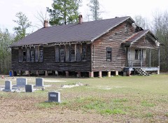
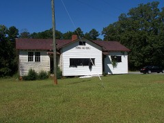
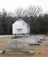
37 National Register listings published here.
Sources: the National Register database, National Park Service
38 topographic sheets and 16 fire insurance atlases across 3 places.
37 National Register listings published here.
Sources: the National Register database, National Park Service
Taken for the Office of War Information and the Farm Security Administration, who photographed the country between 1935 and 1944. Works of United States government photographers, with no known restriction on use. Each opens its catalogue record.

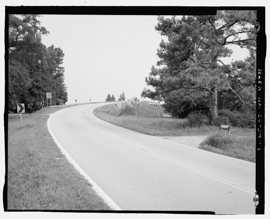
Every property in this county listed on the National Register of Historic Places, with the year it was listed and the federal nomination document.
Sampled issues, machine-read from the Library of Congress scan and published page by page, so every headline and column is searchable text.
[Newberry, S.C.], 1879. Machine-read from the Library of Congress scan.
Newberry, S.C., 1865 to 1884. Machine-read from the Library of Congress scan.
Newberry, S.C., 1865. Machine-read from the Library of Congress scan.
Newberry, S.C., 1884 to 1903. Machine-read from the Library of Congress scan.
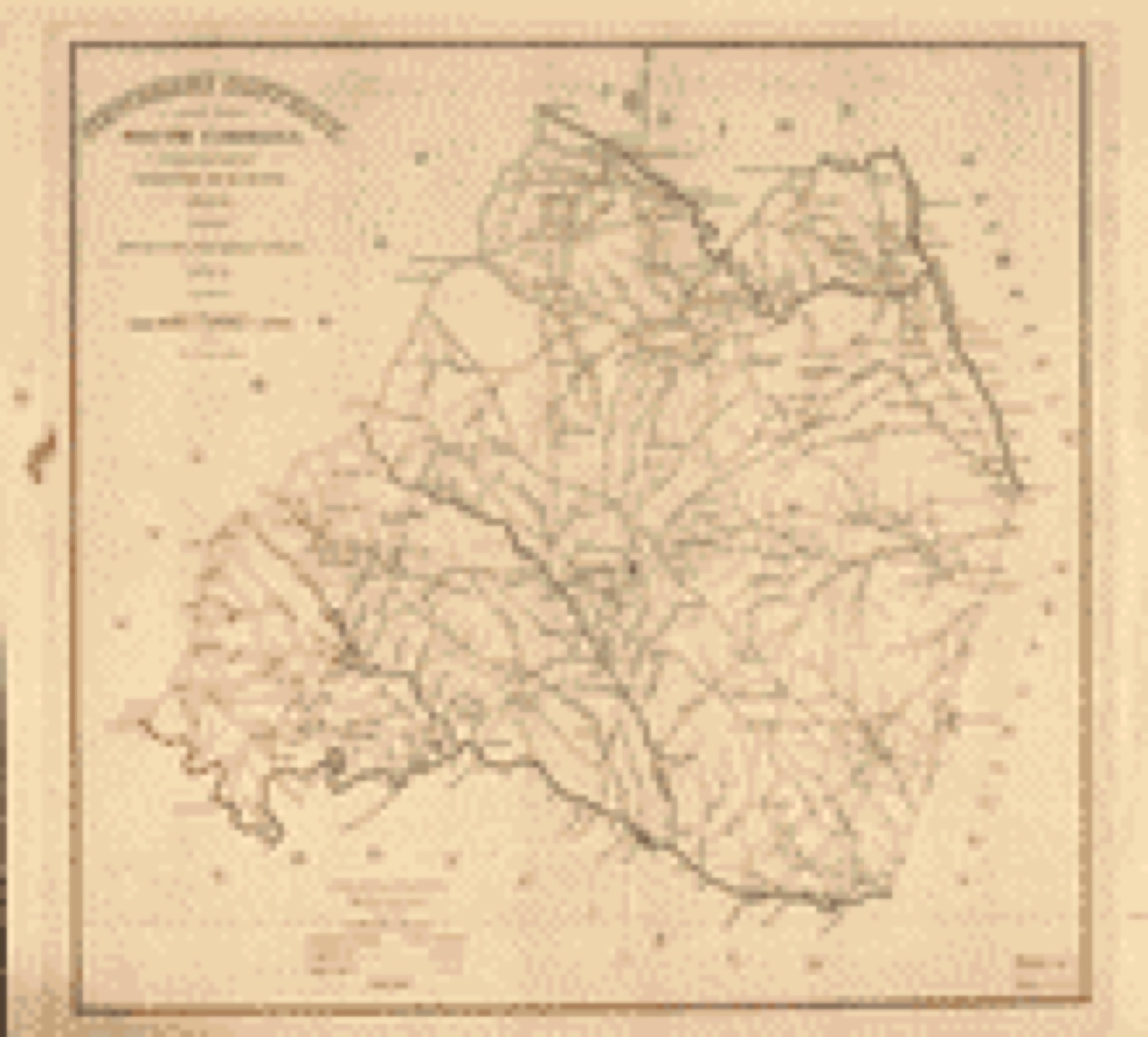
Drawn when these were printed as single large sheets: the town seen from the air, and the county divided into its farms with every owner named. Each opens the original at the Library of Congress.

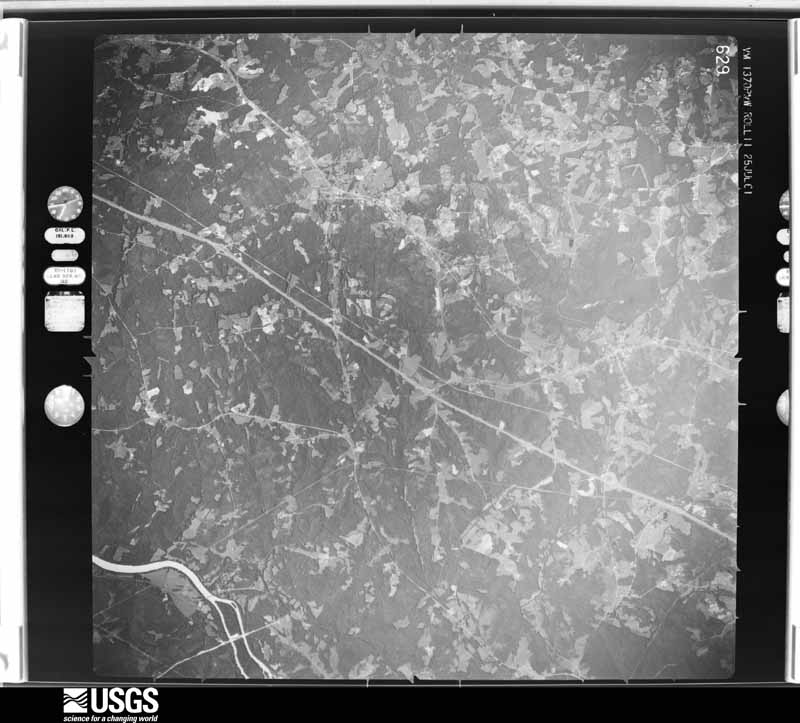
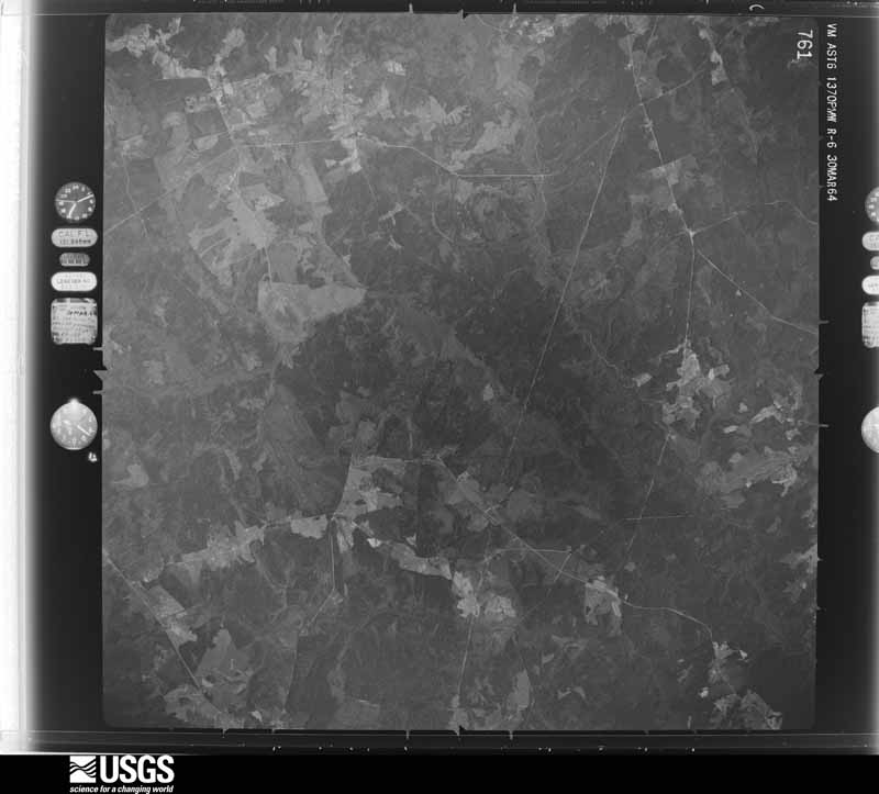
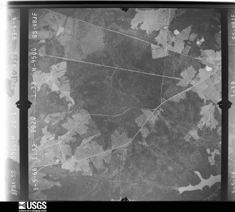
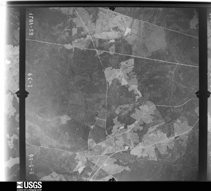
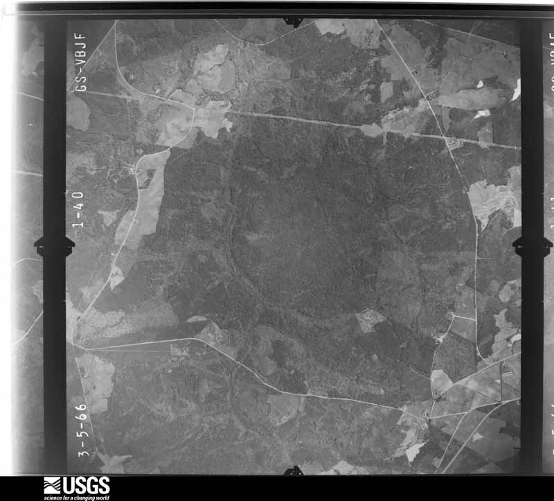
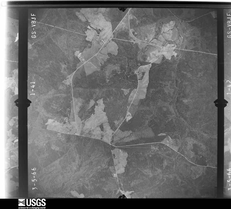
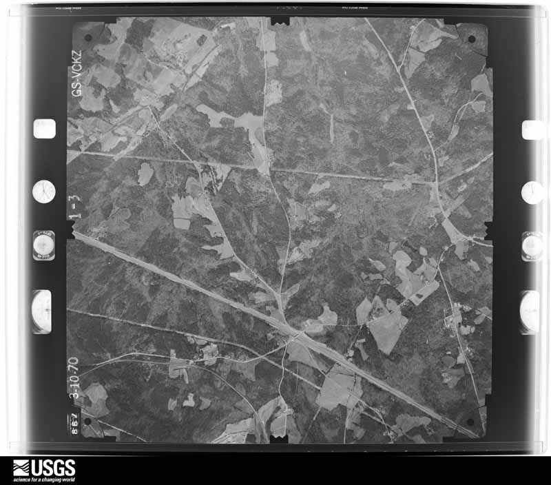
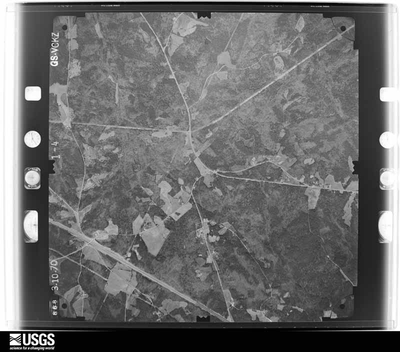
Flown by the U.S. Geological Survey between 1937 and 1989, the Aerial Photo Single Frames collection is the definitive mid-century view of the land: fields, roads and rivers as the camera saw them. The Survey holds 1,420 frames inside the rectangle that bounds this county; the 36 frames below were taken over the county itself, chosen across the decades of flights (at most four a year from that rectangle), so one flight cannot crowd out the rest. The full set is free to browse and download at EarthExplorer under the dataset Aerial Photo Single Frames.




























The thermometers that kept this county's weather, and the gages that measured the flow of its streams, as the federal records hold them. The extremes below are measured values from those records, not estimates.
Who lived here in 1950, one enumeration district at a time, as the Census Bureau described each district. Each row opens its official National Archives result, with Population Schedules and ED Maps available there.
Every wildfire the federal occurrence database records inside this county: 803 of them, burning about 2,788 acres. 51 started naturally and 50 were recorded as arson. Each settlement page carries the fires within five miles of it.
| Reported cause | Fires |
|---|---|
| Missing data/not specified/undetermined | 427 |
| Debris and open burning | 155 |
| Natural | 51 |
| Arson/incendiarism | 50 |
| Equipment and vehicle use | 45 |
| Smoking | 17 |
| Power generation/transmission/distribution | 15 |
| Railroad operations and maintenance | 14 |
| Recreation and ceremony | 10 |
| Misuse of fire by a minor | 10 |
| Other causes | 8 |
| Fireworks | 1 |
The five largest, by the area the report gives. One of them was set deliberately.
| Date | Cause | Size | Reported by | Name on the report |
|---|---|---|---|---|
| 19 July 2002 | Missing data/not specified/undetermined | 300 acres | South Carolina Forestry Commission | not named |
| 10 March 1993 | Missing data/not specified/undetermined | 103 acres | South Carolina Forestry Commission | not named |
| 30 July 2011 | Natural | 100 acres | Francis Marion & Sumter National Forests | GEORGE BRANCH |
| 11 July 2011 | Arson/incendiarism | 77 acres | Francis Marion & Sumter National Forests | ST MATTHEWS |
| 9 December 2007 | Smoking | 65 acres | Francis Marion & Sumter National Forests | NEAL SHOALS |
| 30 March 2013 | Debris and open burning | 64 acres | South Carolina Forestry Commission | not named |
| 31 July 2008 | Natural | 63 acres | South Carolina Forestry Commission | not named |
| 24 June 1999 | Missing data/not specified/undetermined | 60 acres | South Carolina Forestry Commission | not named |
Every settlement page carries the fires within five miles of it - see the settlement index below.
The NOAA Storm Events Database holds 586 reports for this county, causing 2 deaths, 46 injuries and about $39,100,980 in recorded property damage. Each settlement page carries the reports that name it.
| Kind of event | Reports |
|---|---|
| Thunderstorm Wind | 417 |
| Hail | 112 |
| Tornado | 39 |
| Flash Flood | 10 |
| Funnel Cloud | 3 |
| Lightning | 3 |
| Flood | 2 |
The most serious of them, by death, then injury, then recorded damage. The accounts are quoted exactly as the forecast office filed them.
| When | Event | Place named | Harm | What the report says |
|---|---|---|---|---|
| March 1984 | Tornado (F2) | not stated | 1 killed, 38 hurt, $25,000,000 | no account filed |
| December 1973 | Tornado (F3) | not stated | 1 killed, 5 hurt, $2,500,000 | no account filed |
| March 2008 | Tornado (EF3) | Trinity | 2 hurt | NWS Storm Survey found an EF3 tornado touched down near Silverstreet and continued east through Prosperity then crossed into Richald county where it dissipated. Many homes in Prosperity were heavily damaged. Numerous trees and powerlines were down. There were 2 injuries. |
| March 2023 | Thunderstorm Wind | Helena | 1 hurt | A tree was downed on a house on Pauline St in Newberry. One injury occurred. |
| November 1992 | Tornado (F2) | not stated | $2,500,000 | no account filed |
| March 1984 | Tornado (F3) | not stated | $2,500,000 | no account filed |
| December 1973 | Tornado (F3) | not stated | $2,500,000 | no account filed |
| December 1973 | Tornado (F2) | not stated | $2,500,000 | no account filed |
| October 2015 | Flash Flood | Pomaria | $250,000 | Highway 176 bridge across Cannons Creek damaged and partially collapsed due to flood waters. |
| November 1992 | Tornado (F3) | not stated | $250,000 | no account filed |
| February 2011 | Tornado (EF1) | Trinity | $120,000 | Storm Survey with Sheriff found numerous trees down from a microburst and an EF1 tornado from the northwest to northeast side of Silverstreet. One mobile home was destroyed, one was severely damaged, and there were no injuries. |
| February 2011 | Thunderstorm Wind | Silverstreet | $75,000 | An intense microburst ripped the roof off an industrial building, took many trees down, some on homes, and destroyed several outbuildings. |
| August 2005 | Thunderstorm Wind | Newberry | $75,000 | Sheriff reported trees down on 3 homes. |
| April 2006 | Tornado (F0) | Prosperity | $70,000 | A supercell produced an F0 tornado that fell trees on a home severely damaging it. The twister also took down other trees along its path, some across railroad tracks and others across hwy 202 near I-20. |
| August 2012 | Thunderstorm Wind | Chappells | $40,000 | Sheriff reported a tree down on a hous in Chappells. Considerable roof damage occurred with no injuries. |
| June 2011 | Thunderstorm Wind | Newberry Arpt | $38,000 | EM reported powerlines and numerous trees down...some on vehicles...across the eastern half of the county including Whitmire...Newberry...and Prosperity. |
| April 2015 | Lightning | Monetta | $36,000 | Sheriff reported a barn struck by lightning in Whitmire burnt to the ground. |
| May 2013 | Thunderstorm Wind | Prosperity | $35,000 | Sheriff reported numerous trees and powerlines down in Prosperity. One tree fell on a car and another on a home causing significant damage. |
| July 2011 | Thunderstorm Wind | Chappells | $33,000 | Highway Patrol and SKYWARN spotter reported several trees down in Chappells, two on homes causing minor and moderate damage. |
| May 1975 | Tornado (F1) | not stated | $25,000 | no account filed |
| March 1960 | Tornado (F2) | not stated | $25,000 | no account filed |
| May 2012 | Thunderstorm Wind | Browns Xrds | $20,000 | Sheriff dispatch reported many trees down along Mount Bethel Garmany Road, one of which fell on a home. |
| August 2008 | Flash Flood | Newberry | $20,000 | Sheriff departments widespread flooding along secondary roads where streams overflowed. The fire department reported the highway 34 bridge closed from flooding at the county line. Columbia police reported several roads under 2 to 3 feet of water. Lexington reported a couple of secondary road closures from flooding. Newberry reported four roads closed due to flooding from Scotts Creek. |
| June 2012 | Thunderstorm Wind | Newberry | $16,000 | DOT reported a tree on a home in Newberry along with other trees down along Hillbrook Lane. |
| March 2011 | Thunderstorm Wind | Silverstreet | $16,000 | Sheriff reported a couple of trees down, one on a vehicle. |
| November 2002 | Tornado (F1) | Pomaria | $16,000 | An F1 tornado blew down an 80 ft long farm shed, took down many trees, and did minor damage to a couple of homes. The path ran from Central School rd (SC hwy 320), across SC hwy 202 to SC hwy 514. |
| July 2005 | Tornado (F1) | Newberry | $15,000 | Storm Survey found an F! tornado completely destroyed a modular building and took down trees and powerlines at SC121 and Belfast road. A wheat field was also laid flat by the tornado. |
| July 2015 | Thunderstorm Wind | Silverstreet | $14,000 | Dispatch reported multiple trees and powerlines down around the county from Chappells to Silverstreet to Prosperity. |
| September 2009 | Thunderstorm Wind | Boyds | $14,000 | Sheriff reported numerous trees and powerlines down on Bush River road about 2 miles southeast of Newberry. |
| July 2015 | Thunderstorm Wind | Keitts Xrds | $12,000 | SOCIAL MEDIA reported large trees down and tin roof off of a home was pulled back on Keitts Crossroads, SC Hwy 34, and U.S. 176. |
| September 2015 | Thunderstorm Wind | Newberry | $12,000 | Sheriff reported multiple trees and powerlines down around Newberry College. |
| August 2011 | Thunderstorm Wind | Spearman | $12,000 | Sheriff reported trees and powerlines down near the intersection of Stoney Battery road and Spearman road. |
| June 2011 | Thunderstorm Wind | Whitmire | $12,000 | Fire dept. reported trees and powerlines from Whitmire to I-26. |
| November 2025 | Thunderstorm Wind | Hope Station | $10,000 | A NWS survey team surveyed damage off of Peak Rd in Pomaria in Newberry County where a strong supercell moved through the evening of November 8th, 2025. The survey found multiple large cedar trees that were either snapped or fully uprooted, mainly facing south or southeast in a divergent pattern. There was also extensive siding damage to the north side of a mobile home from wind-driven hail which was up to golf ball sized. The survey along with radar analysis determined that the wind damage was consistent with a strong downburst within the forward flank downdraft of the supercell with winds up to 85 mph. |
| December 2015 | Flash Flood | Boyds | $10,000 | County Sheriff reported two home evacuations due to flash flooding near Scott Creek on the south side of the town of Newberry. |
| March 2012 | Thunderstorm Wind | Helena | $10,000 | Disparch reported trees and powerlines down from Newberry to Pomeria. |
| June 2011 | Thunderstorm Wind | Newberry | $10,000 | Dispatch reported numerous trees down countywide, including the city of Newberry. |
| April 2008 | Tornado (EF0) | Cromer Xrds | $10,000 | Storm survey found trees down on roads, on 1 home, and mobile home. Both the home and mobile home also had wind damage to the roof and exterior walls. The tornado originated in Laures county and came out of Joanna. |
| September 2014 | Flash Flood | Deadfall Xrds | $8,000 | Publid reported flash flooding along the Saluda River on many secondary roads in the Silverstreet area with some roads closed due to 1 to 2 feet of water on them. |
| January 2013 | Thunderstorm Wind | Newberry | $8,000 | Dispatch reported trees down county wide with power outages in Newberry. |
| May 2012 | Thunderstorm Wind | Silverstreet | $8,000 | Highway Patrol reported trees down in Silverstreen and along Hwy 34, Werts Road, and Deadfall Road. |
| May 2012 | Thunderstorm Wind | Cromer Xrds | $8,000 | Sheriff dispatch reported trees down near Beth Eden and Seymore roads. |
| June 2010 | Thunderstorm Wind | Little Mtn | $8,000 | Sheriff reported trees down I-26 near exit 82 and in the Prosperity area of Lake Murray. |
| June 2014 | Thunderstorm Wind | Mudlick | $6,000 | Highway Patrol reported trees down on Davenport Farm Lane at SC 56 near Kinards. |
| July 2014 | Thunderstorm Wind | Newberry Arpt | $6,000 | Newberry Electric COOP reported trees and powerlines down near the Newberry Country Club. |
| May 2013 | Thunderstorm Wind | New Hope | $6,000 | Newberry Electric reported a couple of trees down on powerlines in the Rawl Road area. |
| June 2012 | Tornado (EF0) | Newberry Arpt | $6,000 | Sheriff conducted a damage survey of the trees down from just east of the airport to I-26. |
| May 2012 | Thunderstorm Wind | Newberry | $6,000 | Sheriff dispatch reported trees down near Smith and Radio roads. |
| June 2011 | Thunderstorm Wind | Kibler | $6,000 | Sheriff reported numerous trees down on I-26 between mile markers 80 and 85. |
| August 2025 | Flash Flood | Little Mtn | $5,000 | Newberry County Emergency Manager reported flooding with road damage at the intersection of Wheeland Road and Wheeland School Road. Several roads in this area were also flooded. |
| November 2025 | Hail | Hope Station | $5,000 | As part of a NWS Storm Survey, hail damage to the siding on a residence suggested hail up to the size of golf balls. The residence was impacted by a strong downburst as well. Time estimated by radar. |
| March 2023 | Thunderstorm Wind | Helena | $5,000 | A tree was downed on a house on Bess St in Newberry. Time estimated. |
| July 2012 | Thunderstorm Wind | Macedonia | $5,000 | Sheriff reported tree on house along with small hail. |
| December 2009 | Thunderstorm Wind | Mudlick | $5,000 | Surveyor reported numerous trees down at Hwy 56 and Little River. The damage extended northwest along the river for about a mile. |
| December 2009 | Thunderstorm Wind | Whitmire | $5,000 | Sheriff reported trees and powerlines down. |
| June 2009 | Thunderstorm Wind | Prosperity | $5,000 | Sheriff reported a shed destroyed and large limbs on the highway. |
| August 2008 | Thunderstorm Wind | Newberry | $5,000 | Sheriff reported power outages in Newberry with street flooding and some trees down in Prosperity. |
| June 1995 | Thunderstorm Wind | Belfort&Newberry | $5,000 | Trees and power lines down in Newberry and Belfort. |
| August 2015 | Thunderstorm Wind | Little Mtn | $4,000 | Sheriff reported trees and powerlines down on Highway 76 between Little Mountain and Prosperity. |
| September 2015 | Hail | Jalapa | $4,000 | Public reported nickel to quarter size hail with a few pieces up to half dollar size near Jalapa off of US 76. |
The Survey's mineral resources record lists 16 workings inside this county. 1 still produces and 15 are closed or unrecorded. Each settlement page carries the workings within five miles of it.
| Commodity | Workings |
|---|---|
| Granite, Stone, Dimension | 5 |
| Clay | 4 |
| Granite | 1 |
| Stone, Dimension, Granite | 1 |
| Pyrophyllite, Kyanite | 1 |
| Granite, Stone, Crushed/Broken | 1 |
| Gold | 1 |
| Stone, Crushed/Broken | 1 |
| Kyanite | 1 |
The least common of them first, because a county's hundredth gravel pit says nothing its first ten did not.
| Where | Site | Commodity | Status | Recorded |
|---|---|---|---|---|
| Leitzey Quarry | Stone, Dimension, Granite | Past Producer | Igneous | |
| Lester Prospect | Gold | Prospect | ||
| Little Mountain Kyn Occurrence | Pyrophyllite, Kyanite | Unknown | Pyrophyllite, Kyanite | |
| Little Mtn Deposit | Kyanite | Occurrence | ||
| Newberry Quarry | Granite | Unknown | Igneous | |
| Newberry Quarry | Stone, Crushed/Broken | Past Producer | ||
| Unnamed Granite Quarry | Granite, Stone, Crushed/Broken | Past Producer | Metamorphic | |
| Newberry County Mine | Clay | Unknown | ||
| Newbery County Mine | Clay | Unknown | Sedimentary | |
| Topelo Mines | Clay | Producer | ||
| Tupelo Mine | Clay | Unknown | ||
| Browns Quarry | Granite, Stone, Dimension | Past Producer | Igneous | |
| Dickert Quarry | Granite, Stone, Dimension | Past Producer | 1908 | |
| Newberry Quarry | Granite, Stone, Dimension | Past Producer | Igneous | |
| Unidentified Granite Quarry | Granite, Stone, Dimension | Past Producer | Igneous | |
| Unnamed Granite Quarry | Granite, Stone, Dimension | Past Producer | Igneous |
Named settlements recorded in the Geographic Names Information System, each with the topographic sheets covering it. Villages, hamlets and abandoned places alike. Each is shown with the nearest named watercourse or landform and the survey quadrangle it falls on. The 3 places that were also surveyed for fire insurance come first, with the number of atlases and photographs held for them.
Newberry census division · 29108 · Newberry East quadrangle
13 sheets, 1941 to 1986
Fire insurance: 8 atlases
Prosperity census division · 29127 · Prosperity quadrangle
12 sheets, 1941 to 1986
Fire insurance: 6 atlases
Whitmire census division · 29178 · On Sandy Branch · Whitmire North quadrangle
12 sheets, 1941 to 1986
Fire insurance: 2 atlases
Prosperity census division · 29127 · Newberry East quadrangle
13 sheets, 1941 to 1986
Prosperity census division · 29075 · On Stevens Creek · Little Mountain quadrangle
15 sheets, 1904 to 1986
No longer a settlement
Pomaria census division · 29108 · Newberry East quadrangle
13 sheets, 1941 to 1986
Pomaria census division · 29126 · On Second Creek · Pomaria quadrangle
14 sheets, 1904 to 1986
No longer a settlement
Whitmire census division · 29355 · On Headleys Creek · Newberry NW quadrangle
13 sheets, 1941 to 1986
Newberry census division · 29145 · On Welch Creek · Silverstreet quadrangle
12 sheets, 1941 to 1986
Newberry census division · 29108 · Newberry East quadrangle
13 sheets, 1941 to 1986
Pomaria census division · On Big Dryer Creek · Blair quadrangle
15 sheets, 1904 to 1986
No longer a settlement
Pomaria census division · 29126 · Pomaria quadrangle
14 sheets, 1904 to 1986
No longer a settlement
Newberry census division · 29108 · Newberry East quadrangle
13 sheets, 1941 to 1986
Prosperity census division · 29036 · Chapin quadrangle
16 sheets, 1904 to 1986
No longer a settlement
Prosperity census division · 29075 · On Little Mountain · Little Mountain quadrangle
15 sheets, 1904 to 1986
Prosperity census division · 29127 · On Buffalo Creek · Lake Murray West quadrangle
14 sheets, 1904 to 1986
Prosperity census division · 29127 · On Buffalo Creek · Lake Murray West quadrangle
14 sheets, 1904 to 1986
No longer a settlement
Newberry census division · 29108 · Newberry East quadrangle
13 sheets, 1941 to 1986
No longer a settlement
Chappells census division · 29145 · Chappells quadrangle
12 sheets, 1941 to 1986
No longer a settlement
Prosperity census division · 29122 · On Crims Creek · Chapin quadrangle
16 sheets, 1904 to 1986
Pomaria census division · 29126 · Pomaria quadrangle
14 sheets, 1904 to 1986
No longer a settlement
Newberry census division · 29145 · On Welch Creek · Silverstreet quadrangle
12 sheets, 1941 to 1986
Pomaria census division · 29126 · Pomaria quadrangle
14 sheets, 1904 to 1986
No longer a settlement
Newberry census division · 29108 · Newberry East quadrangle
13 sheets, 1941 to 1986
Newberry census division · 29108 · Silverstreet quadrangle
12 sheets, 1941 to 1986
No longer a settlement
Pomaria census division · 29127 · On Kerr Creek · Pomaria quadrangle
14 sheets, 1904 to 1986
Pomaria census division · 29126 · On Second Creek · Pomaria quadrangle
14 sheets, 1904 to 1986
No longer a settlement
Prosperity census division · 29075 · On Stevens Creek · Little Mountain quadrangle
15 sheets, 1904 to 1986
The vanished settlements of Newberry County: the places named above that are no longer on the map.
13 topographic sheets and 8 fire insurance atlases, 1884 to 1948
12 topographic sheets and 6 fire insurance atlases, 1894 to 1936
12 topographic sheets and 2 fire insurance atlases, 1930
The complete index, with nothing left out. Each of these is a separate record with its own page: a federal survey report, or the case file that argued a property on to the National Register. Both are public domain and reproduced word for word.
The vanished settlements of Newberry County, the places these records name that are no longer on the map.