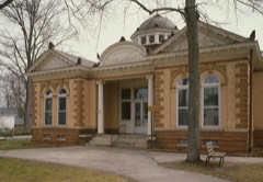
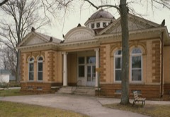
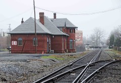
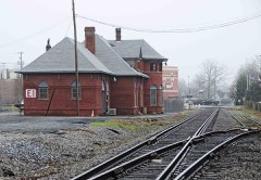
Block
From the record
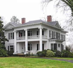
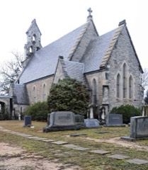
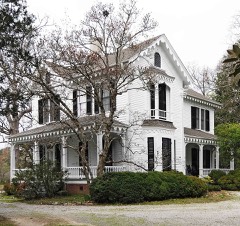
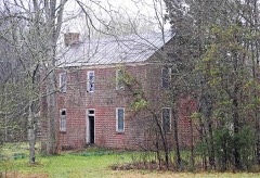
33 National Register listings published here.
Sources: the National Register database, National Park Service
34 topographic sheets and 7 fire insurance atlases across 1 place.
33 National Register listings published here.
Sources: the National Register database, National Park Service
Taken for the Office of War Information and the Farm Security Administration, who photographed the country between 1935 and 1944. Works of United States government photographers, with no known restriction on use. Each opens its catalogue record.
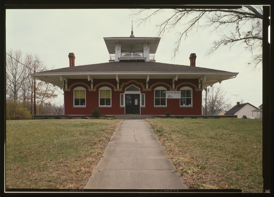
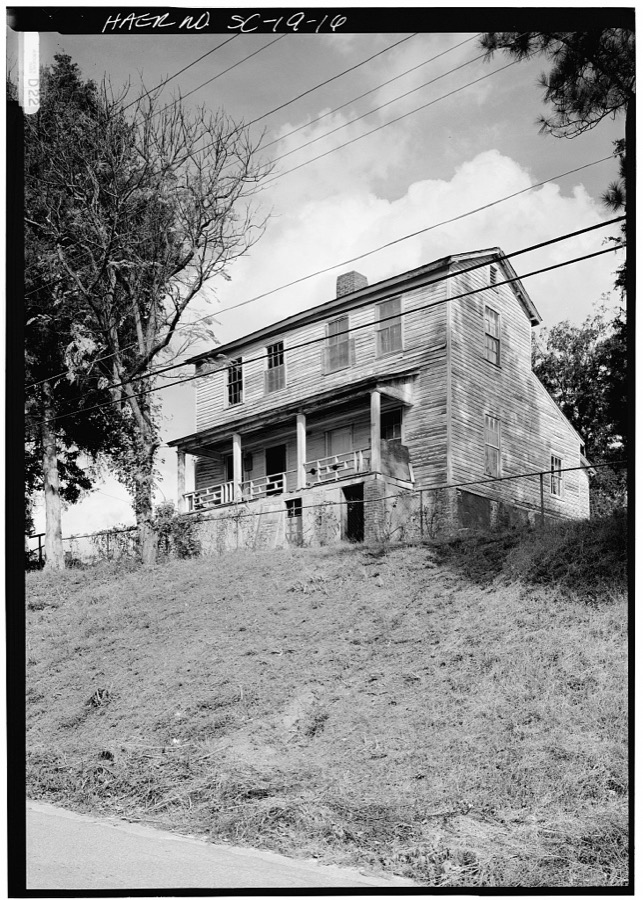
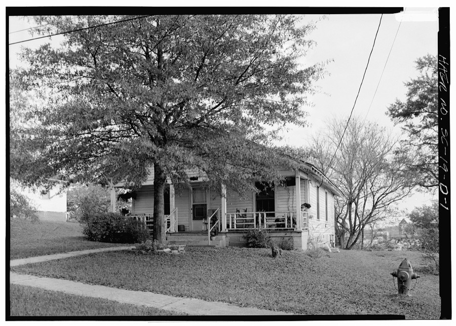
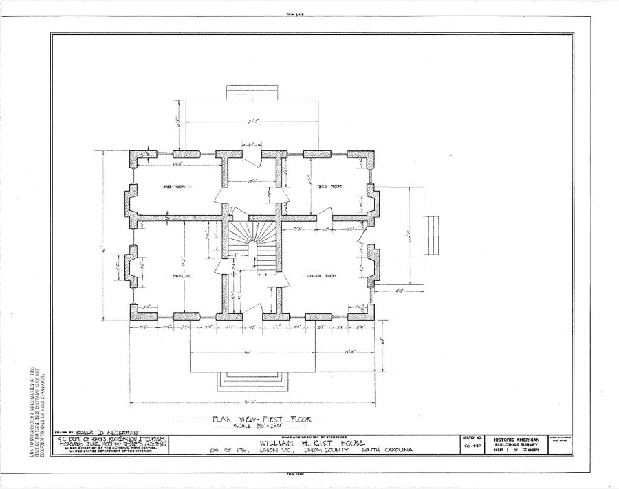
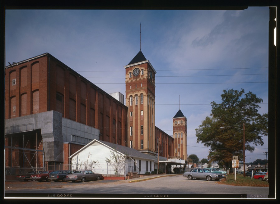
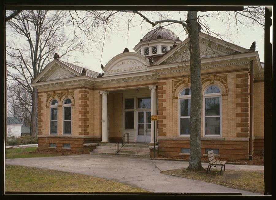
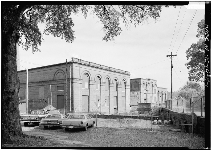
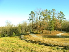
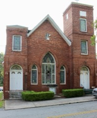
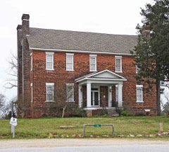
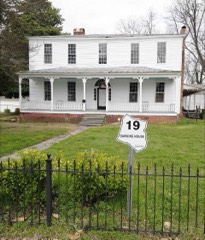
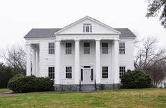
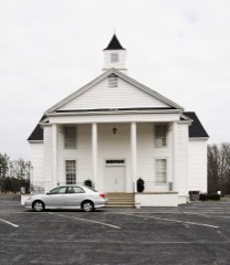
Every property in this county listed on the National Register of Historic Places, with the year it was listed and the federal nomination document.
Sampled issues, machine-read from the Library of Congress scan and published page by page, so every headline and column is searchable text.
Union, S.C., 1917 to 1918. Machine-read from the Library of Congress scan.
Union, S.C., 1918 to Current. Machine-read from the Library of Congress scan.
Union, S.C., 1894 to 1918. Machine-read from the Library of Congress scan.
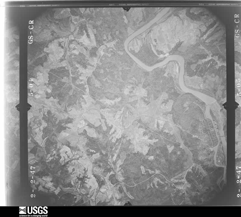
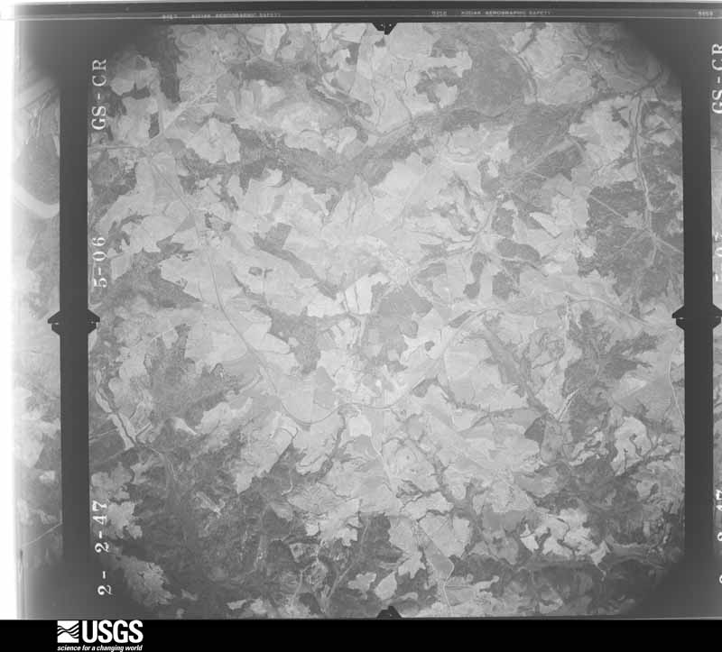
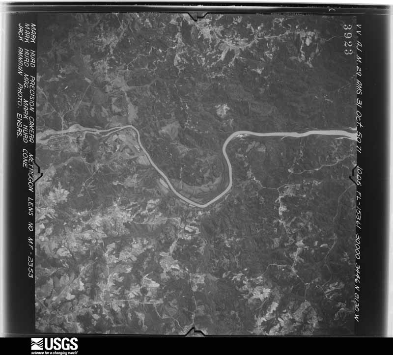
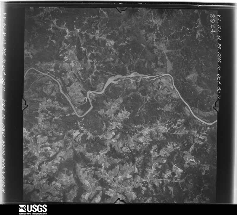
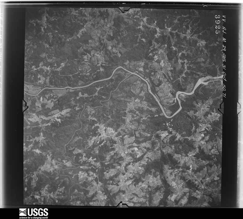
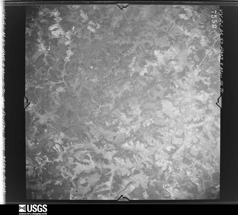
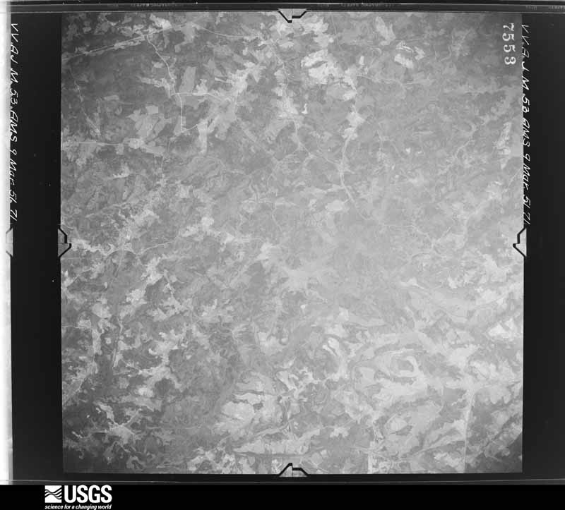
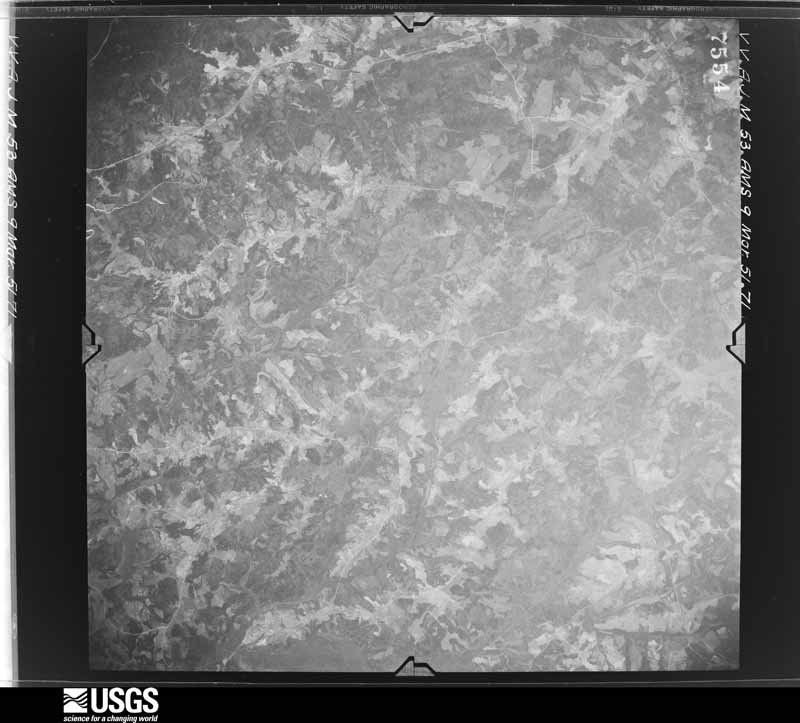
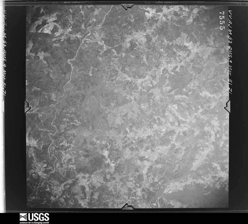
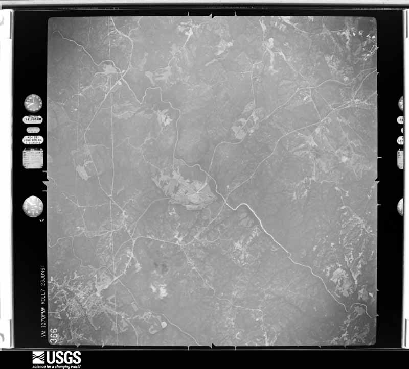
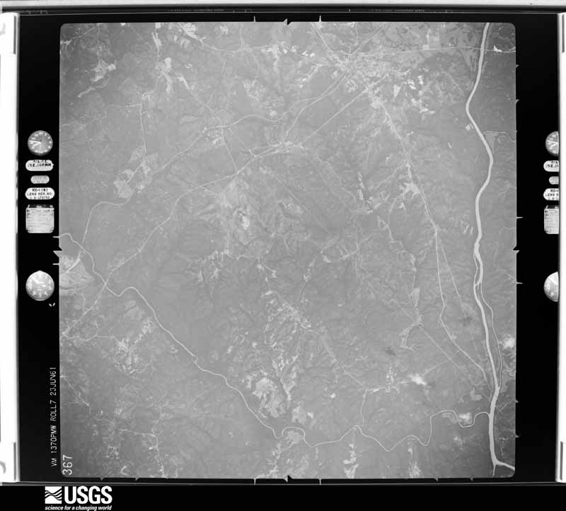
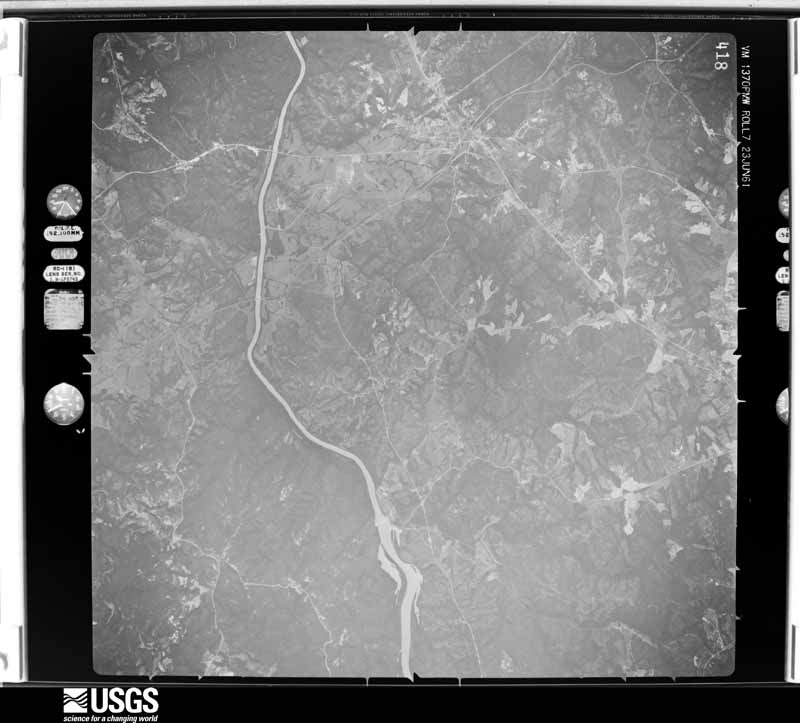
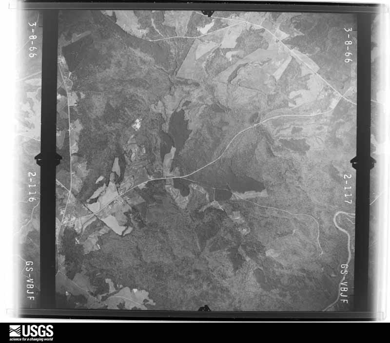
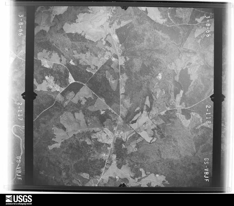
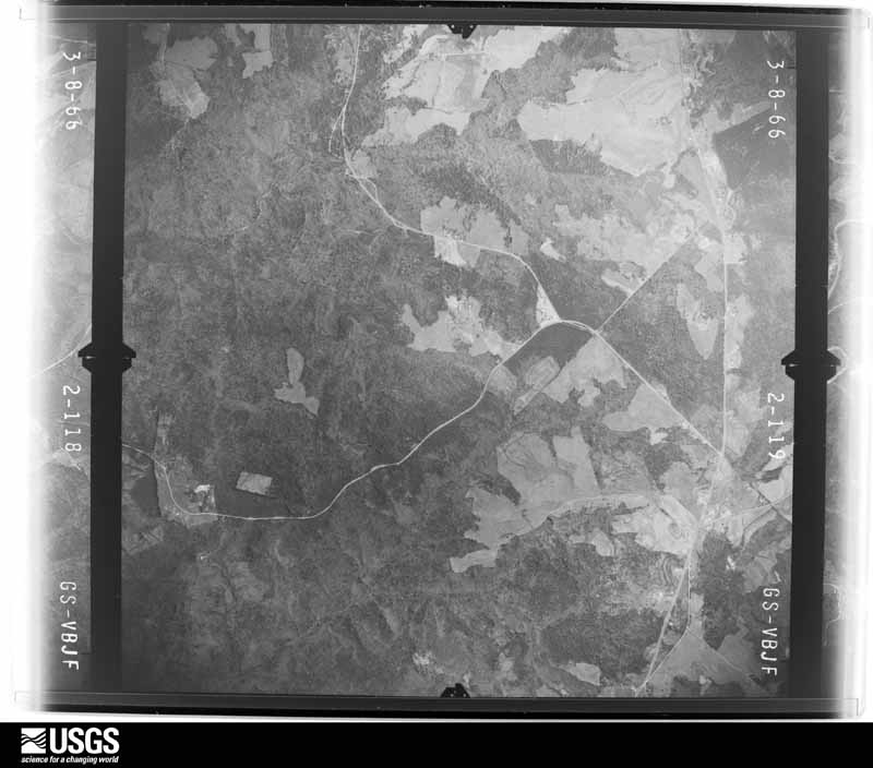
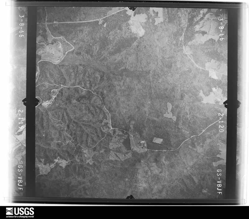
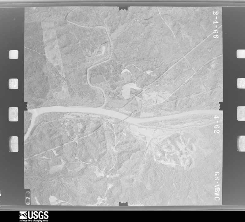
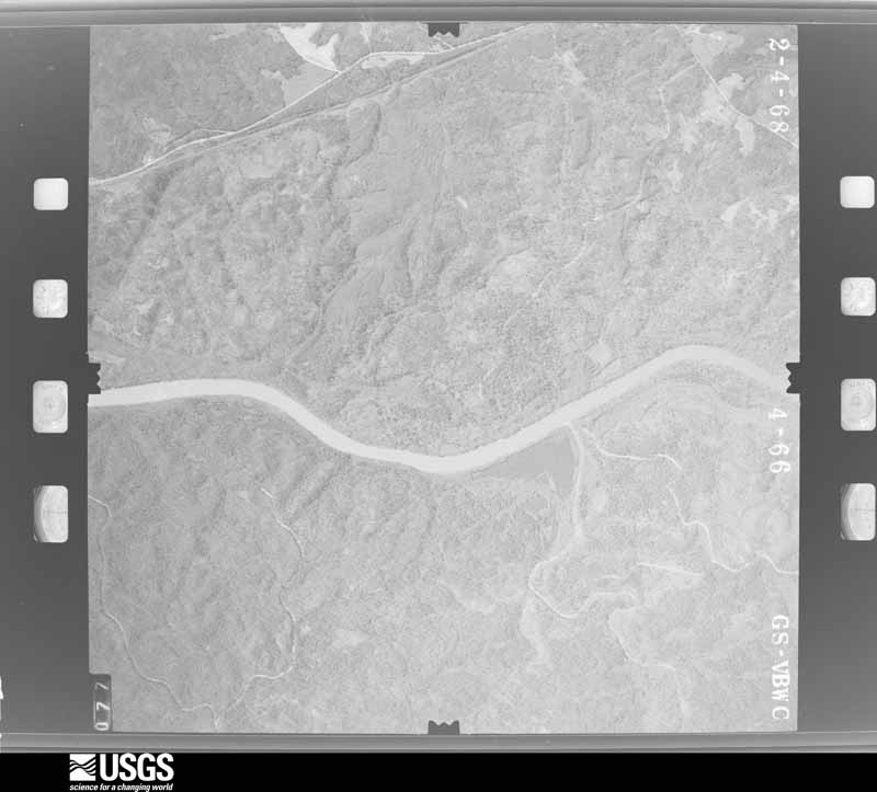
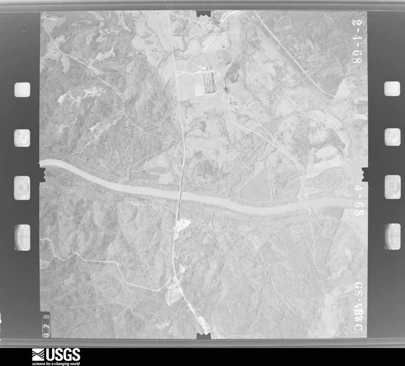
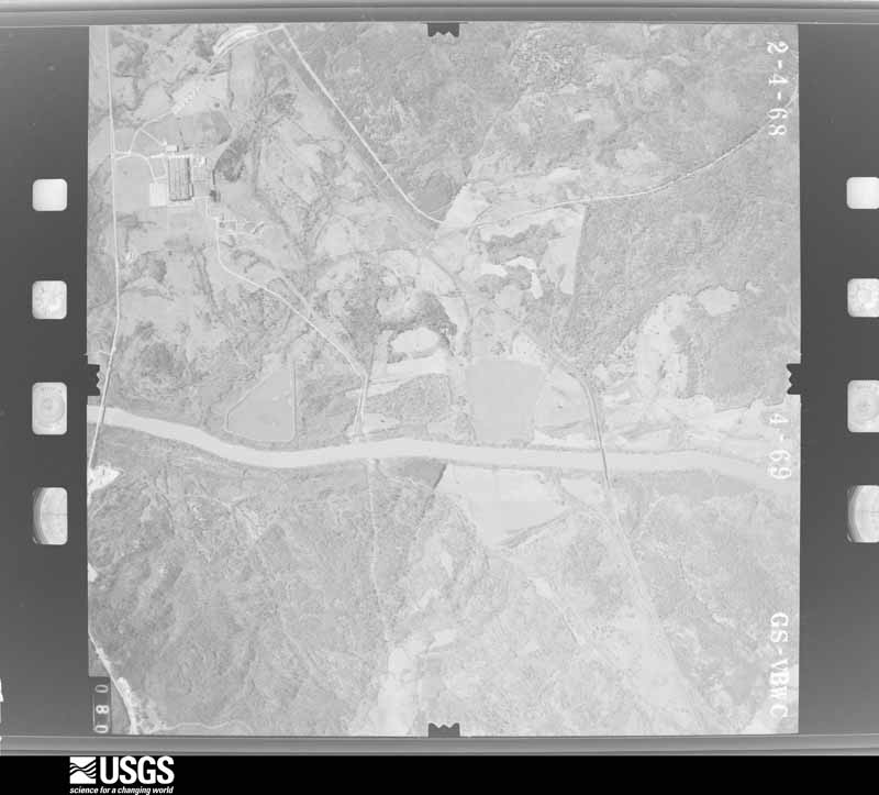
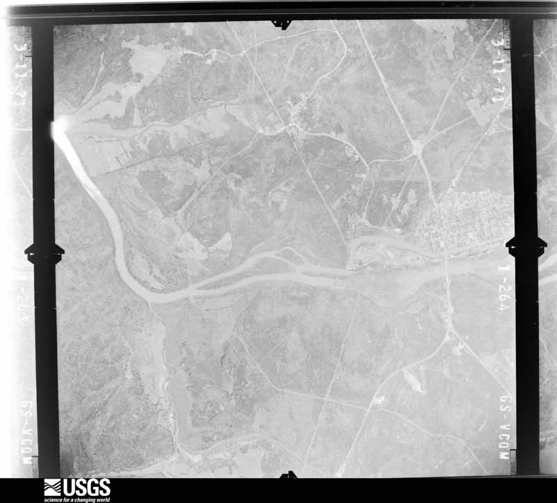
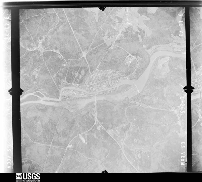
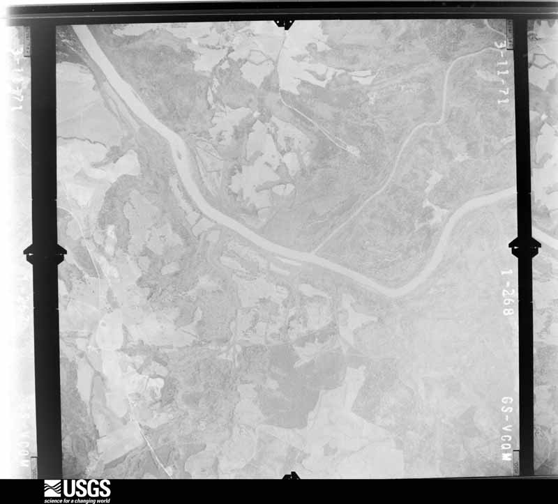
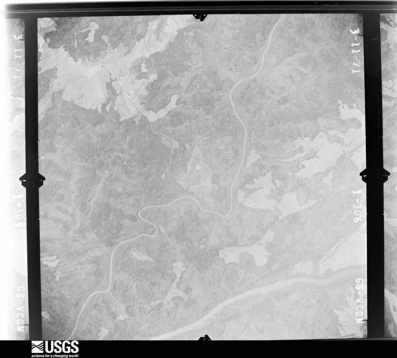
Flown by the U.S. Geological Survey between 1937 and 1989, the Aerial Photo Single Frames collection is the definitive mid-century view of the land: fields, roads and rivers as the camera saw them. The Survey holds 1,108 frames inside the rectangle that bounds this county; the 44 frames below were taken over the county itself, chosen across the decades of flights (at most four a year from that rectangle), so one flight cannot crowd out the rest. The full set is free to browse and download at EarthExplorer under the dataset Aerial Photo Single Frames.







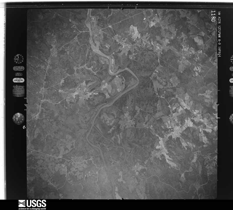
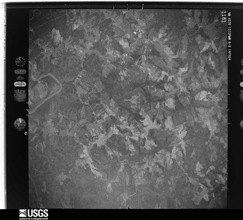
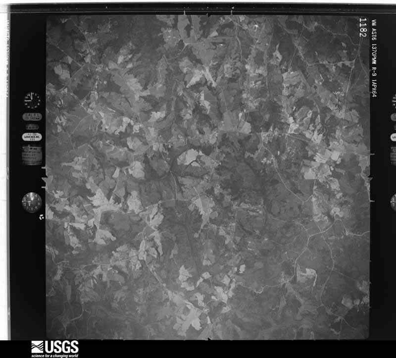
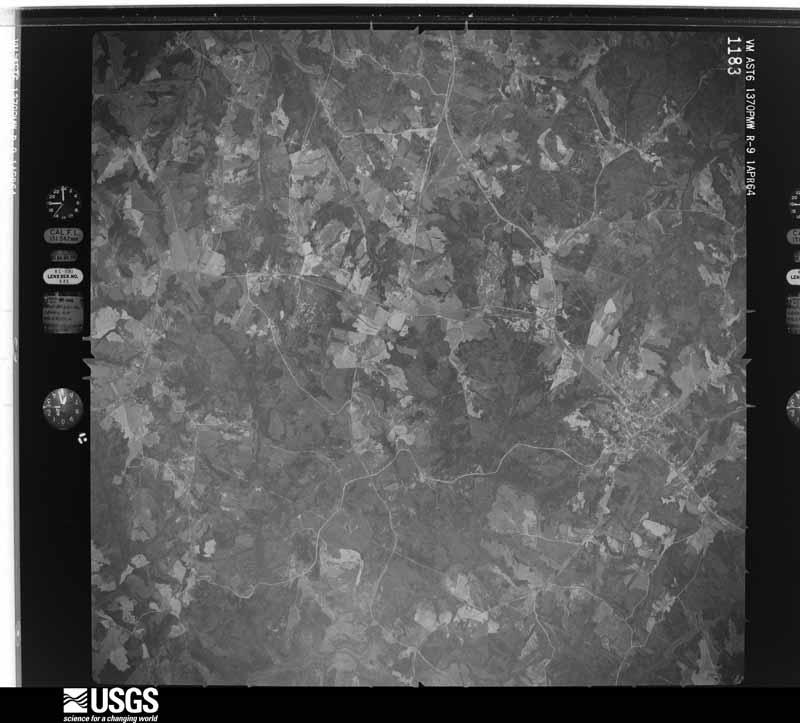









The thermometers that kept this county's weather, and the gages that measured the flow of its streams, as the federal records hold them. The extremes below are measured values from those records, not estimates.
Who lived here in 1950, one enumeration district at a time, as the Census Bureau described each district. Each row opens its official National Archives result, with Population Schedules and ED Maps available there.
Every wildfire the federal occurrence database records inside this county: 760 of them, burning about 3,060 acres. 42 started naturally and 47 were recorded as arson. Each settlement page carries the fires within five miles of it.
| Reported cause | Fires |
|---|---|
| Missing data/not specified/undetermined | 336 |
| Debris and open burning | 197 |
| Arson/incendiarism | 47 |
| Equipment and vehicle use | 45 |
| Natural | 42 |
| Misuse of fire by a minor | 30 |
| Smoking | 18 |
| Power generation/transmission/distribution | 15 |
| Railroad operations and maintenance | 11 |
| Recreation and ceremony | 9 |
| Other causes | 9 |
| Fireworks | 1 |
The five largest, by the area the report gives. One of them was set deliberately.
| Date | Cause | Size | Reported by | Name on the report |
|---|---|---|---|---|
| 27 January 2014 | Debris and open burning | 125 acres | South Carolina Forestry Commission | not named |
| 25 June 1993 | Missing data/not specified/undetermined | 60 acres | South Carolina Forestry Commission | not named |
| 5 April 2004 | Equipment and vehicle use | 57 acres | South Carolina Forestry Commission | not named |
| 5 April 2004 | Smoking | 55 acres | Francis Marion & Sumter National Forests | HWY 18 |
| 9 March 1993 | Railroad operations and maintenance | 55 acres | Francis Marion & Sumter National Forests | not named |
| 14 March 1992 | Missing data/not specified/undetermined | 55 acres | South Carolina Forestry Commission | not named |
| 15 March 1998 | Arson/incendiarism | 50 acres | South Carolina Forestry Commission | not named |
| 25 June 1993 | Missing data/not specified/undetermined | 50 acres | Francis Marion & Sumter National Forests | not named |
Every settlement page carries the fires within five miles of it - see the settlement index below.
The NOAA Storm Events Database holds 352 reports for this county, causing 2 deaths, 7 injuries and about $9,390,500 in recorded property damage. Each settlement page carries the reports that name it.
| Kind of event | Reports |
|---|---|
| Thunderstorm Wind | 215 |
| Hail | 96 |
| Tornado | 22 |
| Flash Flood | 9 |
| Lightning | 8 |
| Dust Devil | 1 |
| Heavy Rain | 1 |
The most serious of them, by death, then injury, then recorded damage. The accounts are quoted exactly as the forecast office filed them.
| When | Event | Place named | Harm | What the report says |
|---|---|---|---|---|
| April 2017 | Tornado (EF1) | Ada | 1 killed, $50,000 | NWS Storm survey found the path of an EF1 tornado that began around healing springs Church Road and Eaves Road, moving northeast between these Two Roads, then lifting near the intersection of Eaves Rd and old highway 176. A mobile home on Eaves Rd was overturned off its frame and flipped multiple times. A 65-year-old male occupant of the home was killed. |
| September 2013 | Lightning | Union | 1 killed | A 50 year old man was struck by lightning, while working on his truck, under a tree, in the yard. The incident took place Sunday September 1, 2013. The man died Thursday September 5, 2013. |
| April 1993 | Tornado (F2) | Southside to | 2 hurt, $5,000,000 | Exactly an hour after producing the first severe weather in the upstate, the supercell produced its strongest tornado in South Carolina. A high F1/low F2 tornado struck Union. Property damage resulting from the tornado's winds was estimated about $500,000. More hail damage is likely as the hail accumulated to great depths very quickly and near the tornado track was quite large. Winds were estimated from 60 to 90 mph in downtown sections where plate glass windows were blown out. There was also considerable damage to trees and power lines along with damage from the wind-driven hail. Nearer the tornado track damage was more severe with large trees crushing some homes. Mobile homes were damaged or destroyed, and a couple of houses lost roofs from the wind. The large hail quickly clogged storm drains and an estimated 2 to 3 inches of rain fell causing $50,000 in water damage to equipment in the hospital. Highest winds from south of Union to near Monarch were estimated at 115 mph in a small area. Two people were slighlty injured when a falling tree crushed their car. |
| April 1957 | Tornado (F2) | not stated | 2 hurt, $25,000 | no account filed |
| August 1994 | Tornado (F2) | Lockhart to | 1 hurt, $500,000 | The tornado struck near Lockhart where a woman was injured when a mobile home was destroyed. The mobile home was picked up with a woman and son inside and tossed about 100 yards. Two brick homes were virtually destroyed in the same area. The tornado crossed into Cherokee County at 1810EST and moved to Gowdeysville where a church was destroyed and some homes severely damaged. Damage from the above tornadoes exceeded $800,000 in Cherokee County, about $600,000 in Union County, near $90,000 in Spartanburg County, and less than $10,000 in Greenwood County. |
| June 1998 | Thunderstorm Wind | Union | 1 hurt, $14,000 | no account filed |
| June 2011 | Lightning | Johns | 1 hurt | Lightning struck at the Jonesville Fire Dept, causing minor hand injuries to a person inside. |
| November 2011 | Tornado (EF0) | Carem | $1,000,000 | An area of weak tornado damage was surveyed near the intersection of Neal Shoals Rd and Fairview Church Circle. Part of the roof was blown off a barn and shingles were removed from a house. Numerous trees were uprooted or snapped in the area as well. |
| August 1994 | Tornado (F3) | Santuck to | $500,000 | Tornado began near Santuc as a large multi-vortex F3 tornado. Spotters engaged the storm almost immediately and followed it as it curved north to northwest through the County. The storm had intermittent ground contact of about 30 to 40 percent but there was not a great deal of separation between areas of damage. The path width gradually diminished to about 50 yards from 0.75 mile initially, and the storm intensity gradually weakened to F2 and then to F1 at Pauline. The tornado crossed into Spartanburg County near Pacolet Mills at 1545EST. A well constructed home near Santuc was destroyed, a stationary vehicle was thrown aout 150 yds, and other homes and structures received severe damage along its path. |
| August 1994 | Tornado (F1) | Carlisle to | $500,000 | This tornado was nearly parallel to the Santuc tornado described above. It moved along a track 2 to 3 miles east of the first storm and just a few minutes later. This tornado was not as large nor intense as the first tornado and was on the ground about 20 to 30 percent of the time. The most damage occurred around Carlisle where the roof of a restaurant was removed and homes and mobile homes were damaged - and at the end of its track at Cowpens where nearly $80,000 damage was done to homes and mobile homes. At Cowpens, one resident watched the tornado become stationary for a minute or so in an open field just before it dissipated. The tornado crossed into Cherokee County at 1600EST and into Spartanburg County at 1620EST. Spotters were able to follow both the above tornadoes for most of their paths through Union County. |
| April 2009 | Tornado (EF1) | Mean Xrds | $400,000 | NWS survey found an area of tornado damage that began about 3 miles southwest of Jonesville in the Proctor/Zig Zag Rd area. Several trees were snapped off or uprooted in this area and some outdoor objects blown around. The tornado moved almost due east to T Bishop Rd, where a mobile home was destroyed and another heavily damaged. Dozens of trees were also uprooted and snapped off in this area. The tornado continued along an intermittent path to the east before uprooting numerous pine and cedar trees on Jonesville Highway about 3 miles southeast of Jonesville. A 3-ton trailer was moved about 100 feet, and a home received minor roof damage at this location. The tornado continued on to Bob Little Rd, where a plant building received major roof damage. The tornado then damaged two mobile homes before lifting 3.5 SE of Jonesville. |
| May 2014 | Hail | Union | $250,000 | Spotters reported up to golf ball size hail that broke car windshields in the Union area. |
| May 2014 | Hail | Union | $250,000 | County comms reported that the second severe thunderstorm produced larger than baseball size hail on the west side of the city. Multiple car windshields were reportedly broken out and skylights were broken at a department store. |
| September 2004 | Flash Flood | Union | $250,000 | no account filed |
| May 2020 | Thunderstorm Wind | Buffalo | $50,000 | Public reported multiple trees and power lines blown down in Buffalo and in Monarch Mill, with some trees on houses in Monarch Mill. |
| July 2008 | Thunderstorm Wind | Cross Keys | $50,000 | Part of the roof was blown off a historic home. Trees were also blown down in and around Cross Keys. One tree fell on a car. |
| September 2004 | Tornado (F1) | Union | $50,000 | This tornado touched down east of the city of Union, then tracked north/northwest, blowing down and uprooting numerous trees, and rolling one mobile home. Other structural damage was limited to shingles and gutters. |
| July 2001 | Lightning | Jonesville | $50,000 | Lightning struck a garage business, destroying the building and a motorcycle located inside. |
| June 1994 | Hail | Jonesville | $50,000 | A massive severe thunderstorm moved south from the Shelby, NC, area into northern Cherokee County and moved slowly across the county. This was a major hail storm with golf ball- to baseball-size hail falling for more than an hour. The largest hail, and the most damage, seemed to occur in the area from south of Gaffney to Jonesville. Up to five inches of rain fell causing localized urban flooding - though none was reported to reach flash flooding levels. Some trees were blown down although the main impact was hail and rain. |
| May 1993 | Thunderstorm Wind | Union | $50,000 | Two severe thunderstorms developed and caused quite a bit of damage. A downburst was identified in the area from Fairview to south of Fountain Inn. The damage path was initially about 20 yards wide but spread to about 2 miles wide just before diminishing to a wind speed below severe criteria (where no more damage was found). A number of eye witnesses reported a small but distinct funnel embedded in the area of the downburst. The tornado seemed to be in the center to northern part of the damaged area. The small tornado mostly snapped off some trees. Most of the damage resulted from the downbursts. A porch was torn off a house at Fairview along with some downed trees. In the area between Fountain Inn and Owings some billboards were blown down, vinyl siding was blown off a house, a number of trees were downed (some fell on structures and mobile homes), and a few sheds and outbuildings were damaged or destroyed. Power was off in the area for a few hours. The hailstorm associated with the storm was impressive in amount but only reached marble-size and therefore caused little if any property damage. At Union, trees were downed at several locations in the city, a roof was blown off an outbuilding, and parts of the leachers at the county football stadium were destroyed. |
| June 2009 | Lightning | Union | $45,000 | Lightning ignited a fire at a home on Catherine St, causing significant damage. |
| July 2022 | Thunderstorm Wind | Mean Xrds | $30,000 | Public reported numerous trees blown down along Mud Bridge Rd, with a large tree down on a house, heavily damaging the roof. The roof was also blown off a barn. Additional trees and a damaged mobile home roof were reported elsewhere in western Union County. |
| July 2002 | Thunderstorm Wind | Lockhart | $30,000 | Several trees were blown down. One fell on a mobile home. |
| June 1992 | Tornado (F0) | not stated | $25,000 | no account filed |
| August 1985 | Tornado (F0) | not stated | $25,000 | no account filed |
| June 2018 | Thunderstorm Wind | West Spgs | $20,000 | County comms reported numerous trees and power lines down across Union County, with several trees down on homes in the city of Union. |
| March 2005 | Thunderstorm Wind | Jonesville | $20,000 | A boat was overturned and blown 20 feet in a lot along highway 9 North of Union. Two other boats were lifted and dropped at the same location. In Adamsburg, 2 tool sheds were flattened and a carport damaged by the wind. Several trees were also blown down at the same location. |
| April 1998 | Lightning | Union | $20,000 | no account filed |
| June 1998 | Thunderstorm Wind | Union | $20,000 | no account filed |
| June 1996 | Thunderstorm Wind | Union | $20,000 | no account filed |
| November 2002 | Thunderstorm Wind | Union | $15,000 | Numerous trees were blown down. One fell on a house. |
| August 2021 | Thunderstorm Wind | Monarch Mills | $10,000 | County comms reported multiple trees and power lines blown down on Osborne St, a tree down on a home on Beltline Rd, and large limbs down on Hart St. |
| October 2017 | Tornado (EF0) | West Spgs | $10,000 | NWS storm survey found a short tornado path in Union County along Haney Rd near the intersection of Mount Lebanon Rd. Damage was primarily limited to downed trees, although a couple of houses received minor exterior damage, while some underskirting was removed from a mobile home. |
| July 1997 | Lightning | Union | $10,000 | no account filed |
| September 2024 | Thunderstorm Wind | Delta | $5,000 | Emergency manager reported multiple trees blown down in the area around Hickory Nut Hollow Rd and Eaves Rd, with one tree on a barn. |
| January 2020 | Thunderstorm Wind | Santuc | $5,000 | NWS co-op observer reported multiple trees blown down, with one on a house in the Santuc area. |
| April 2017 | Thunderstorm Wind | Ada | $5,000 | NWS storm survey found an area of downburst wind damage that began about 100-200 yards south of a short tornado track and continued E/NE north of Carlisle. Multiple trees were blown down, with at least one tree down on a vehicle. |
| October 2015 | Heavy Rain | Union | $5,000 | Newspaper reported a combination of saturated soil and winds gusting in excess of 20 mph caused a tree to fall on a parked vehicle on Gault Ave. |
| August 2003 | Thunderstorm Wind | Jonesville | $5,000 | The roof was blown off of a mobile home. |
| July 2002 | Lightning | Cross Keys | $5,000 | Two cows were killed as a result of lightning. A grass fire was also started. |
| June 1999 | Lightning | Buffalo | $5,000 | no account filed |
| June 1994 | Thunderstorm Wind | Herbert near | $5,000 | no account filed |
| April 2005 | Thunderstorm Wind | Union | $3,000 | Tree fell on a car and a portable, elctronic sign was blown across a parking lot. Also, marble hail covered the ground. |
| June 1992 | Tornado (F0) | not stated | $2,500 | no account filed |
| April 1997 | Thunderstorm Wind | Buffalo | $2,000 | no account filed |
| September 2023 | Thunderstorm Wind | Union | $1,000 | Emergency manager reported a metal awning was blown off the roof of Union County High School. Some large tree limbs were also blown down in the area. |
| May 2014 | Thunderstorm Wind | Jonesville | $1,000 | EM and public reported multiple large tree limbs and a few trees blown down, mainly cross the north side of Jonesville, including the Gilead Hills Dr area. A couple of outbuildings also had some tin roofing removed. |
| August 2002 | Thunderstorm Wind | Union | $1,000 | Trees and powerlines were blown down along West Springs Highway. |
| March 2011 | Dust Devil | Ada | $1,000 | no account filed |
| March 2025 | Thunderstorm Wind | Cross Keys | - | Public reported several trees blown down in the Cross Keys area. |
| May 2025 | Hail | Union | - | NWS employee reported 3/4 inch hail. |
| June 2025 | Thunderstorm Wind | Carem | - | County comms reported a tree blown down and blocking the intersection of Neal Shoals Rd and Davis Jeter Rd, with another tree blocking a road closer to Monarch Mill. |
| September 2025 | Thunderstorm Wind | Buffalo | - | County comms reported a tree blown down at Toney Rd & Meansville Rd and another tree down on Ingle Ave at Duncan Bypass. |
| September 2025 | Thunderstorm Wind | Mean Xrds | - | County comms reported multiple trees blown down, from southwest of Jonesville, ESE across mainly the north side of the city of Union, from Pineland Rd and Timberlake Rd southeast to Barnado Rd and Woodberry Dr. |
| February 2024 | Thunderstorm Wind | Johns | - | County comms reported multiple trees and some power lines blown down across the northern half of Union county, including on Gaffney Highway, Proctor Rd, Forest St, and Vaughn Rd in Jonesville, and on Keys Highway, Meansville Rd, Rice Ave, and Hawkins Rd in and near the city of Union. Additionally, the AWOS at the Union County Airport measured a wind gust of 58 mph. |
| January 2024 | Thunderstorm Wind | Johns | - | Utility company reported trees blown down on power lines in the Jonesville area. |
| May 2024 | Thunderstorm Wind | Santuc | - | Utility company reported trees blown down on power lines. |
| May 2024 | Thunderstorm Wind | Carlisle | - | County comms reported multiple trees blown down near Carlisle. |
| May 2024 | Hail | Santuc | - | Public reported (via Social media) golf ball size hail in the Santuc area. |
| July 2024 | Thunderstorm Wind | Union | - | County comms reported several trees and power lines blown down along Lakeside Dr. |
The Survey's mineral resources record lists 19 workings inside this county. 1 still produces and 18 are closed or unrecorded. Each settlement page carries the workings within five miles of it.
| Commodity | Workings |
|---|---|
| Gold | 10 |
| Sand and Gravel, Construction | 3 |
| Sand | 2 |
| Granite, Stone, Crushed/Broken | 1 |
| Limestone, General | 1 |
| Feldspar | 1 |
| Copper | 1 |
| Vermiculite | 1 |
The least common of them first, because a county's hundredth gravel pit says nothing its first ten did not.
| Where | Site | Commodity | Status | Recorded |
|---|---|---|---|---|
| Gregory Quarry | Limestone, General | Past Producer | 1908 | |
| Hyder Farm Quarry | Granite, Stone, Crushed/Broken | Past Producer | Igneous | |
| Mud Mine | Gold, Copper | Past Producer | ||
| Unnamed Feldpar Mine | Feldspar | Past Producer | Igneous | |
| Vance | Vermiculite | Past Producer | Metamorphosed Igneous Intrusion | |
| Cudd Sand Mine | Sand | Unknown | Sedimentary | |
| Mullis Mine | Sand | Unknown | Sedimentary | |
| Lockhart Dredge | Sand and Gravel, Construction | Producer | ||
| Sloan Pit | Sand and Gravel, Construction | Unknown | Sedimentary | |
| Sloan Pit | Sand and Gravel, Construction | Past Producer | ||
| Bogan Mine | Gold | Past Producer | ||
| Mud Mine | Gold | Unknown | Vein | |
| Nott Mine | Gold | Unknown | Vein | |
| Nott Mine | Gold | Past Producer | ||
| Ophir Mine | Gold | Past Producer | ||
| Ophir Mine | Gold | Past Producer | ||
| West Mine | Gold | Past Producer | ||
| West Mine | Gold | Past Producer | ||
| West Mine/Bogan Ophir | Gold | Unknown | Vein |
Named settlements recorded in the Geographic Names Information System, each with the topographic sheets covering it. Villages, hamlets and abandoned places alike. Each is shown with the nearest named watercourse or landform and the survey quadrangle it falls on. The 1 place that was also surveyed for fire insurance comes first, with the number of atlases and photographs held for them.
Union census division · 29379 · Union East quadrangle
12 sheets, 1941 to 1986
Fire insurance: 7 atlases
Carlisle census division · 29031 · Whitmire North quadrangle
12 sheets, 1941 to 1986
No longer a settlement
Lockhart census division · 29379 · On Addis Branch · Kelton quadrangle
12 sheets, 1941 to 1986
No longer a settlement
Carlisle census division · 29031 · On Padgetts Creek · Whitmire North quadrangle
12 sheets, 1941 to 1986
West Springs census division · 29379 · On Isaacs Creek · Union West quadrangle
12 sheets, 1941 to 1986
No longer a settlement
West Springs census division · 29321 · Cross Anchor quadrangle
15 sheets, 1941 to 1986
No longer a settlement
West Springs census division · 29321 · Near Beddington Mountain · Cross Anchor quadrangle
15 sheets, 1941 to 1986
Cross Keys census division · 29178 · On Padgetts Creek · Whitmire North quadrangle
12 sheets, 1941 to 1986
Lockhart census division · 29353 · On Peter Hawk Creek · Kelton quadrangle
12 sheets, 1941 to 1986
No longer a settlement
Cross Keys census division · 29178 · On Padgetts Creek · Whitmire North quadrangle
12 sheets, 1941 to 1986
Carlisle census division · 29031 · On Tyger River · Carlisle quadrangle
13 sheets, 1941 to 1986
Union census division · 29379 · Kelton quadrangle
12 sheets, 1941 to 1986
No longer a settlement
Jonesville census division · 29372 · On Harris Creek · Glenn Springs quadrangle
14 sheets, 1941 to 1986
Jonesville census division · 29353 · Jonesville quadrangle
12 sheets, 1941 to 1986
Carlisle census division · 29379 · Union East quadrangle
12 sheets, 1941 to 1986
No longer a settlement
Jonesville census division · 29353 · On McClure Creek · Jonesville quadrangle
12 sheets, 1941 to 1986
West Springs census division · 29353 · On McClure Creek · Glenn Springs quadrangle
14 sheets, 1941 to 1986
No longer a settlement
Carlisle census division · 29379 · On Hobsons Creek · Leeds quadrangle
13 sheets, 1941 to 1986
Lockhart census division · 29379 · Lockhart quadrangle
16 sheets, 1907 to 1986
No longer a settlement
Lockhart census division · 29353 · On Pacolet River · Lockhart quadrangle
16 sheets, 1907 to 1986
Lockhart census division · 29353 · On Reedy Branch · Kelton quadrangle
12 sheets, 1941 to 1986
No longer a settlement
Carlisle census division · 29031 · Carlisle quadrangle
13 sheets, 1941 to 1986
No longer a settlement
Lockhart census division · 29379 · On Colemans Creek · Lockhart quadrangle
16 sheets, 1907 to 1986
Carlisle census division · 29379 · On Neals Creek · Leeds quadrangle
13 sheets, 1941 to 1986
No longer a settlement
Carlisle census division · 29379 · On Swift Run · Whitmire North quadrangle
12 sheets, 1941 to 1986
No longer a settlement
Lockhart census division · 29379 · On Sharps Creek · Kelton quadrangle
12 sheets, 1941 to 1986
West Springs census division · 29321 · On Swink Creek · Jonesville quadrangle
12 sheets, 1941 to 1986
No longer a settlement
Cross Keys census division · 29178 · On Evans Branch · Whitmire North quadrangle
12 sheets, 1941 to 1986
Cross Keys census division · 29178 · Sedalia quadrangle
13 sheets, 1941 to 1986
No longer a settlement
Lockhart census division · 29353 · On Reedy Branch · Kelton quadrangle
12 sheets, 1941 to 1986
No longer a settlement
Union census division · 29321 · On Mitchell Creek · Union West quadrangle
12 sheets, 1941 to 1986
West Springs census division · 29353 · On West Springs Branch · Glenn Springs quadrangle
14 sheets, 1941 to 1986
Cross Keys census division · 29335 · Cross Anchor quadrangle
15 sheets, 1941 to 1986
No longer a settlement
The vanished settlements of Union County: the places named above that are no longer on the map.
12 topographic sheets and 7 fire insurance atlases, 1884 to 1947
The complete index, with nothing left out. Each of these is a separate record with its own page: a federal survey report, or the case file that argued a property on to the National Register. Both are public domain and reproduced word for word.
The vanished settlements of Union County, the places these records name that are no longer on the map.