 Block
From the record
12 National Register listings published here.
Sources: the county history on the Internet Archive · the National Register database, National Park Service
43 topographic sheets and 5 fire insurance atlases across 1 place.
12 National Register listings published here.
Sources: the county history on the Internet Archive · the National Register database, National Park Service
Taken for the Office of War Information and the Farm Security Administration, who photographed the country between 1935 and 1944. Works of United States government photographers, with no known restriction on use. Each opens its catalogue record.
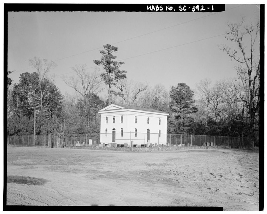
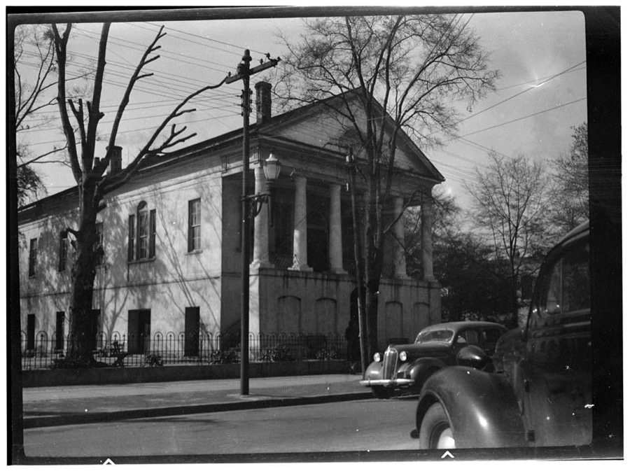
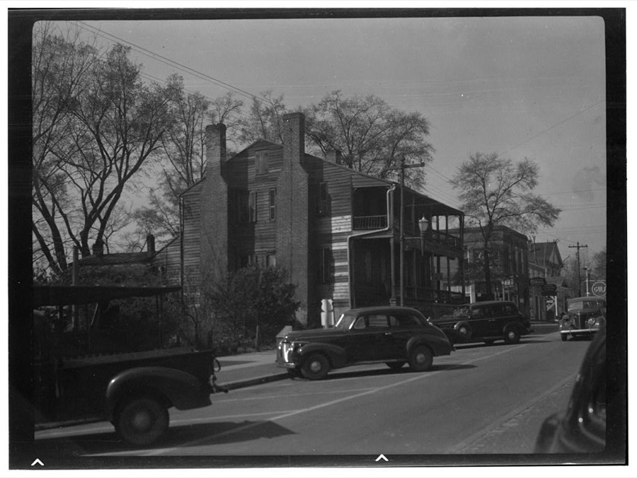
Every property in this county listed on the National Register of Historic Places, with the year it was listed and the federal nomination document.
| Photograph | Property | Type | Listed | Reference |
|---|---|---|---|---|
| Clarkson Farm Complex | district | 1988 | 88001706 | |
 | Epps-McGill Farmhouse | building | 2020 | 100005612 |
| Gamble House | building | 1978 | 78002535 | |
 | M. F. Heller House | building | 1994 | 94000452 |
| McCollum-Murray House | building | 2006 | 06000579 | |
| New Market | district | 1998 | 98000290 | |
 | Colonel John Gotea Pressley House | building | 1997 | 97000534 |
| Salters Plantation House | district | 2000 | 00000591 | |
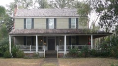 | Scott House | building | 1982 | 82004797 |
 | Thorntree | building | 1970 | 70000606 |
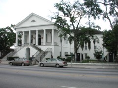 | Williamsburg County Courthouse | building | 1982 | 82003906 |
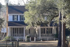 | John Calvin Wilson House | building | 1982 | 82003905 |
Sampled issues, machine-read from the Library of Congress scan and published page by page, so every headline and column is searchable text.
Kingstree, S.C., 1885 to 1975. Machine-read from the Library of Congress scan.
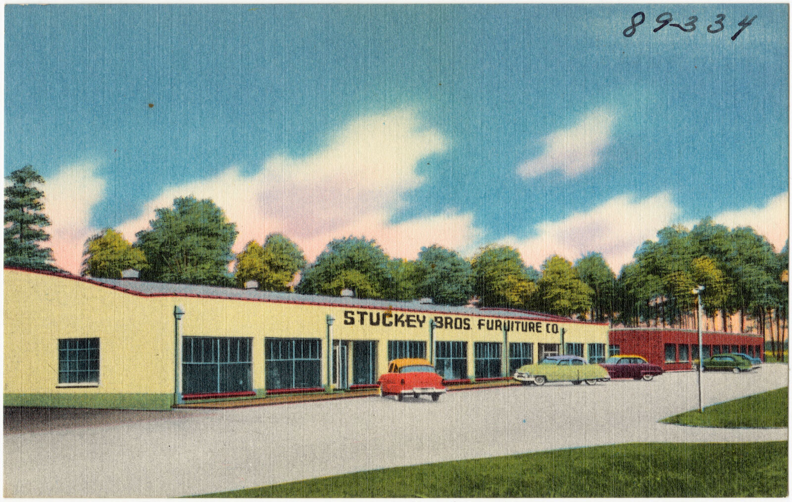
Selected from the Digital Public Library of America's 1 image records catalogued for this county. Every one shown here carries a public-domain status or a licence that permits reuse on a site that carries advertising; non-commercial, share-alike and restricted images are excluded. The selection is spread across the county's towns (at most eight per town), so no single institution's bulk upload crowds out the rest. Each opens the holding library's record, and the complete set at the Digital Public Library of America is one click away.
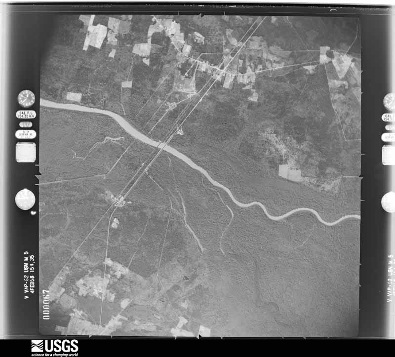
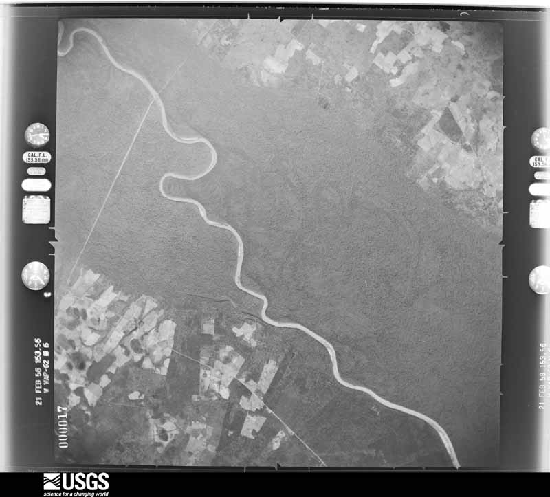
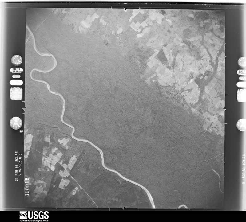
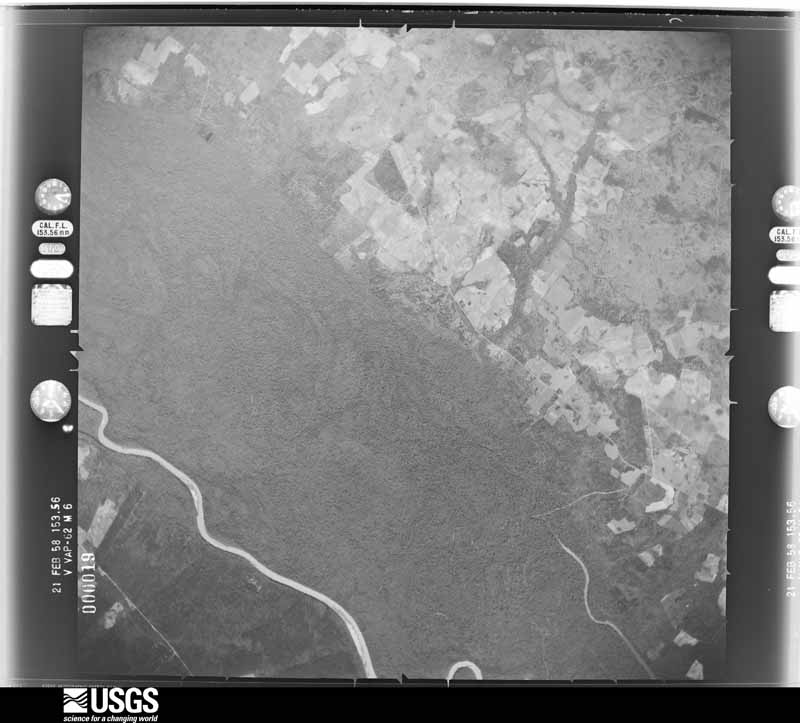
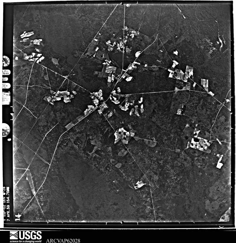
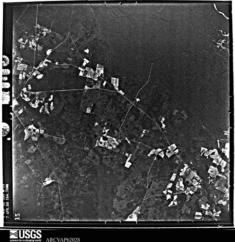
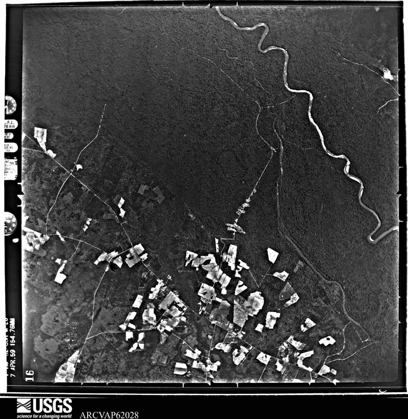
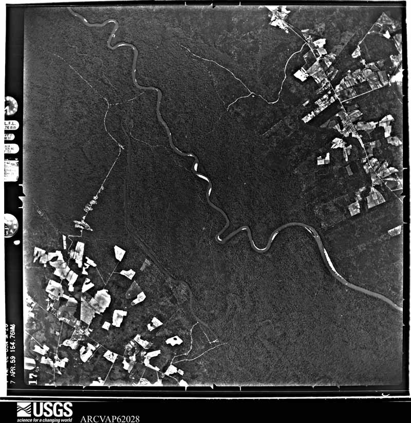
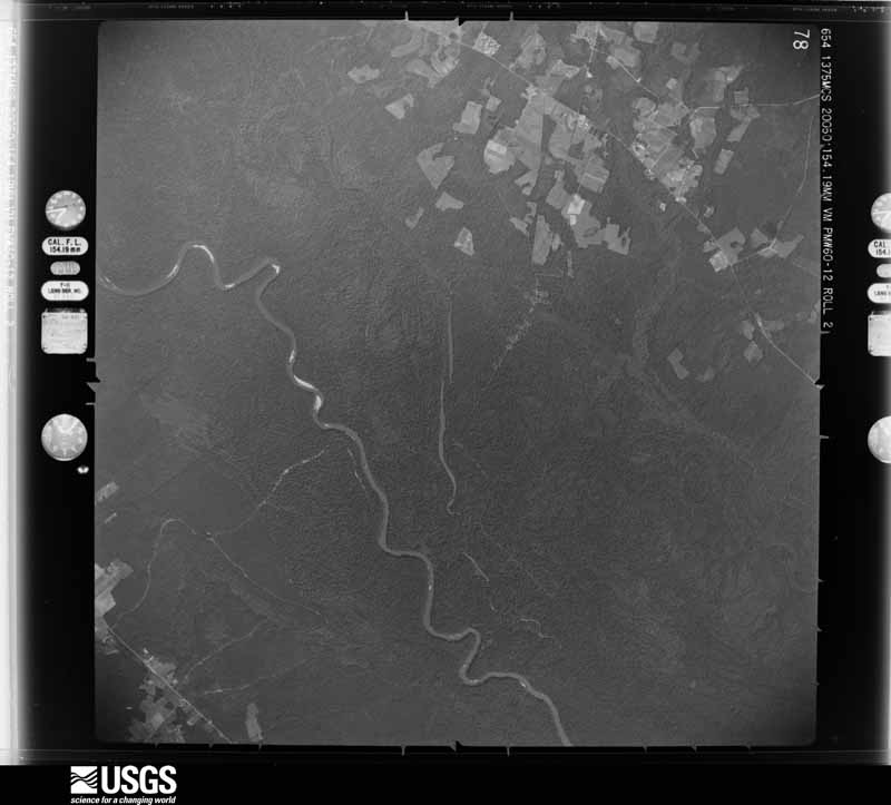
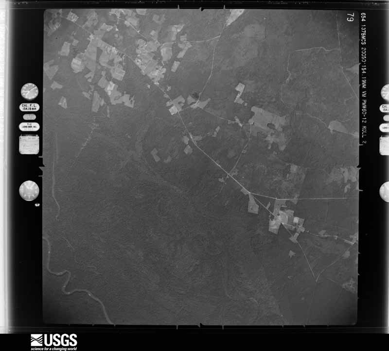
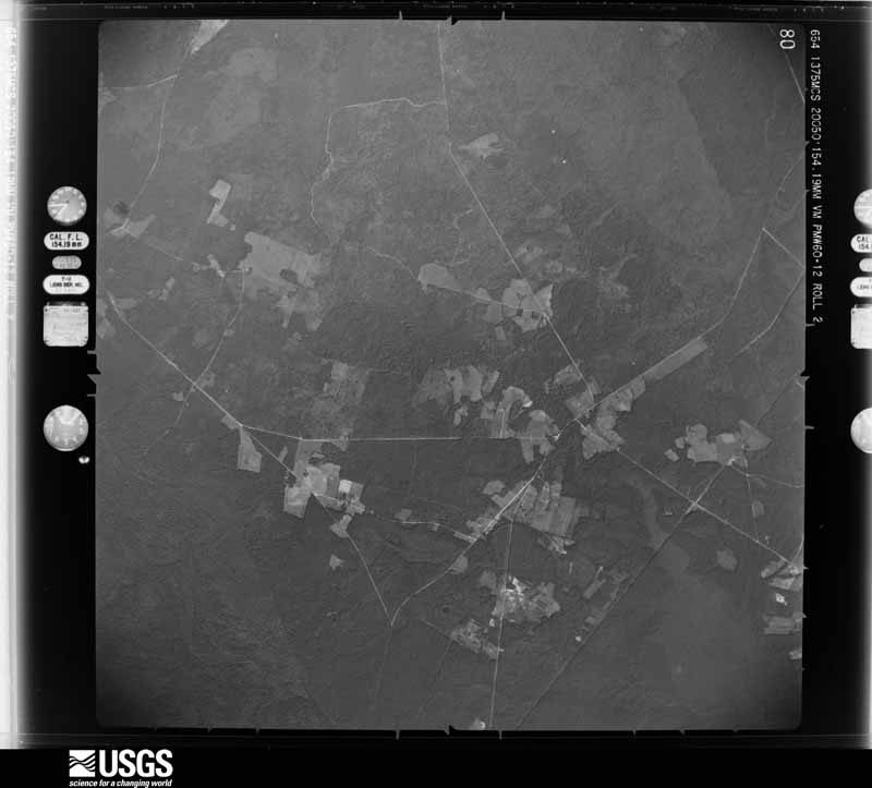
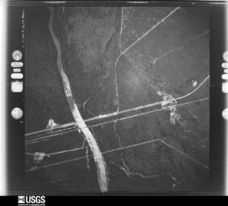
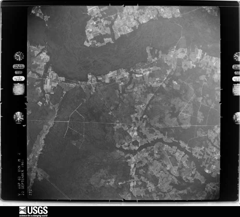
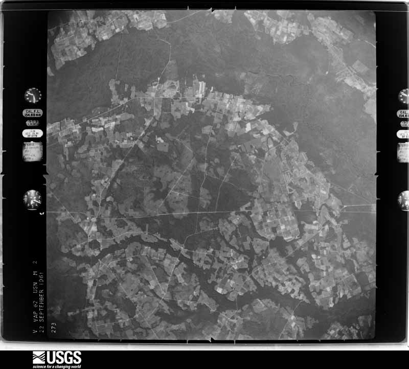
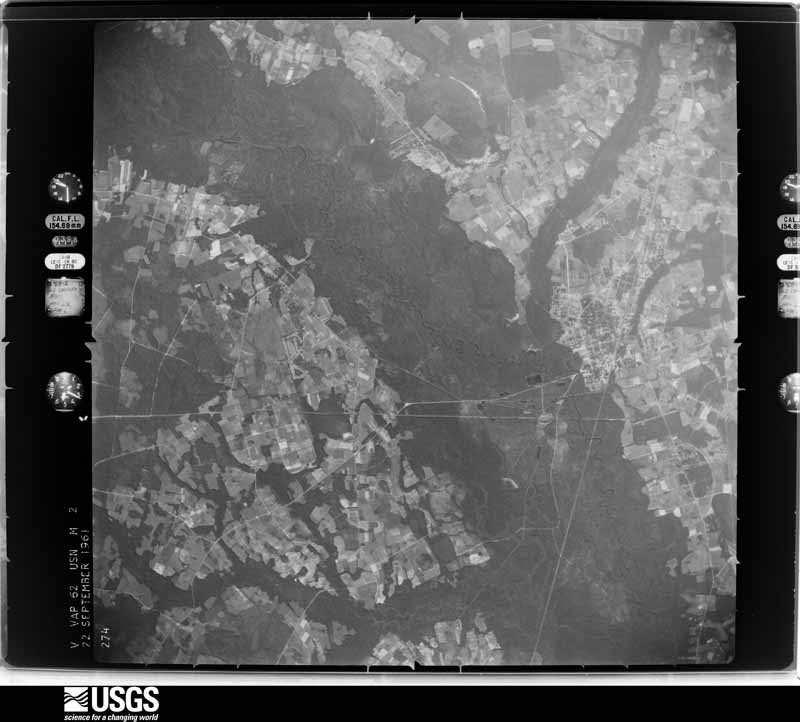
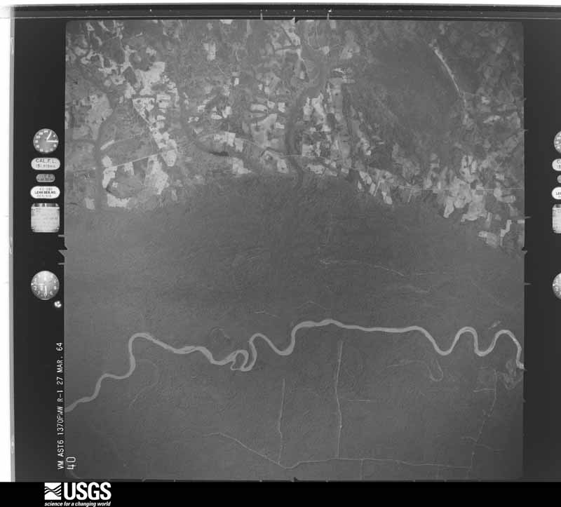
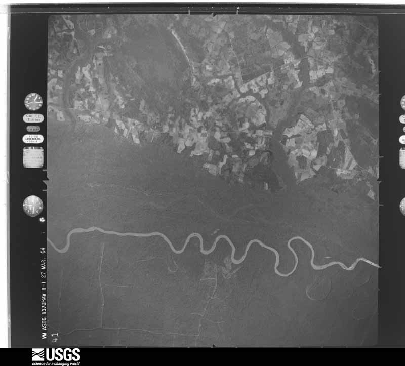
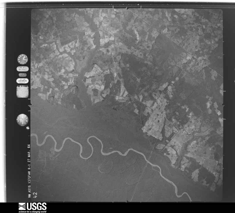
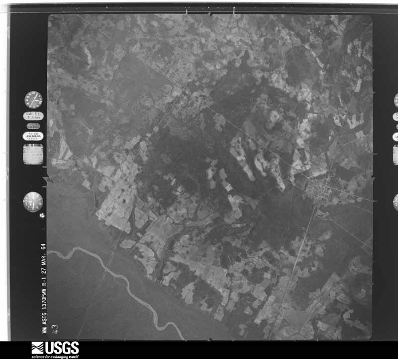
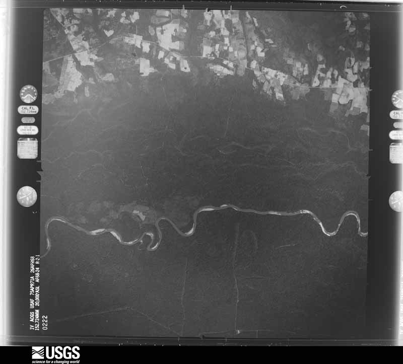
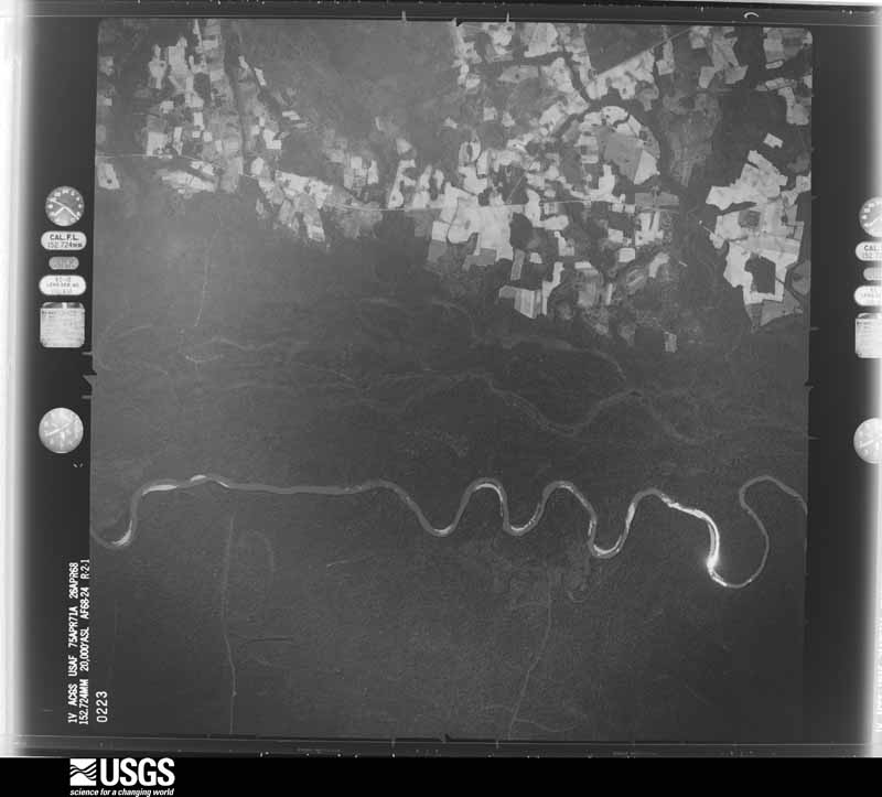
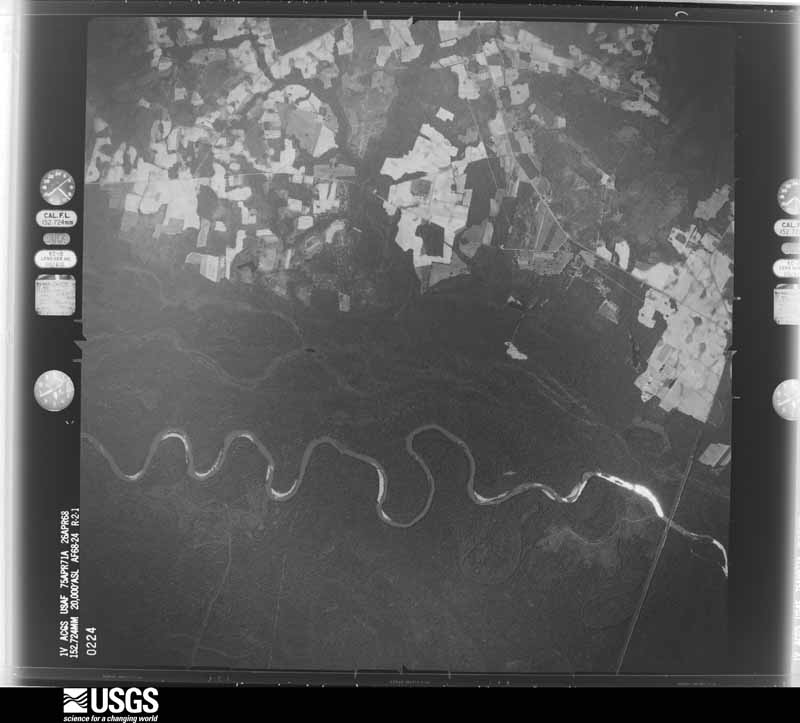
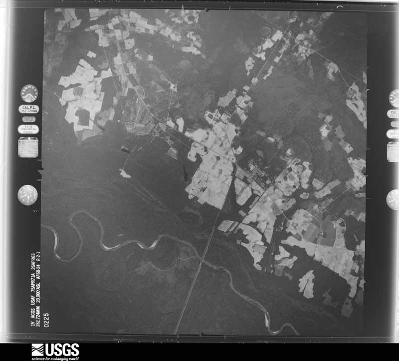
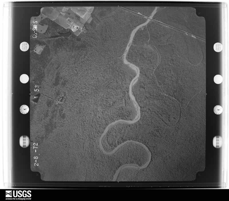
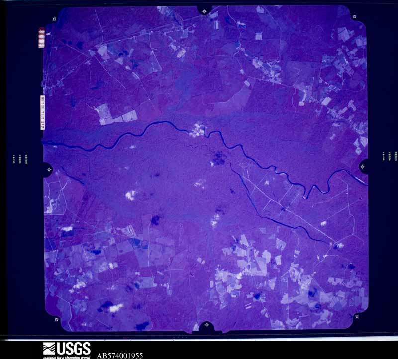
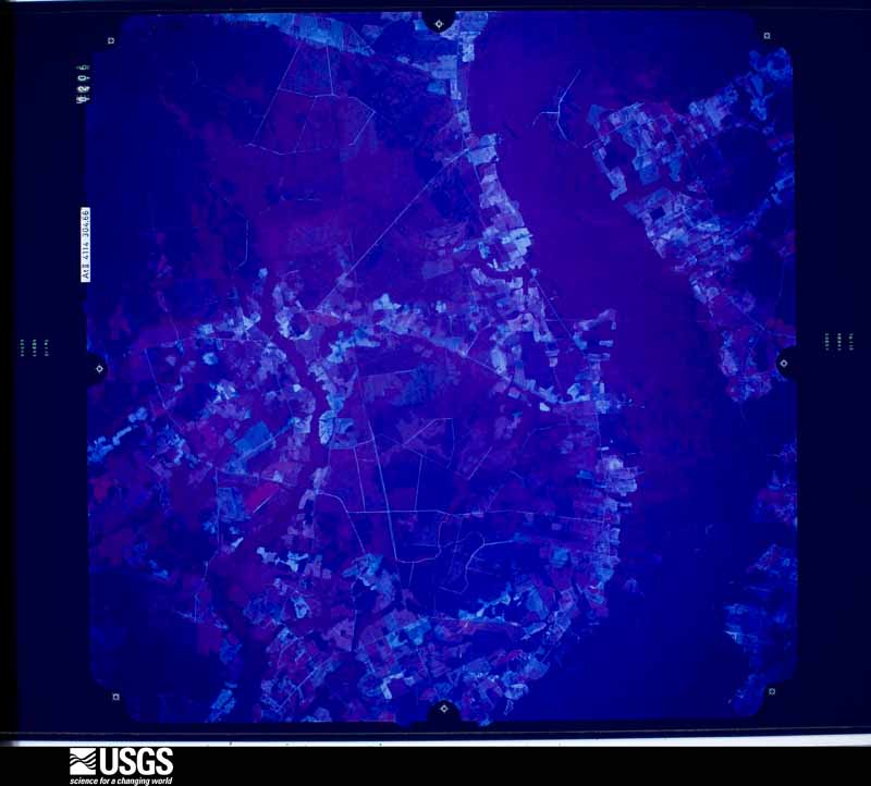
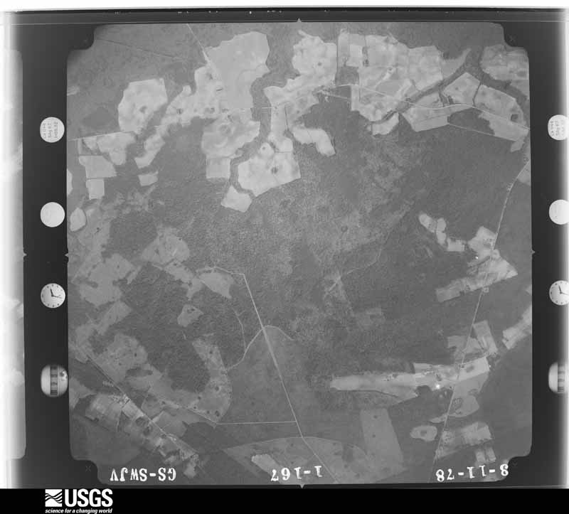
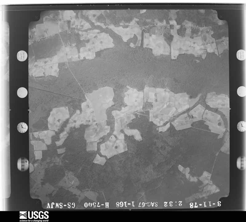
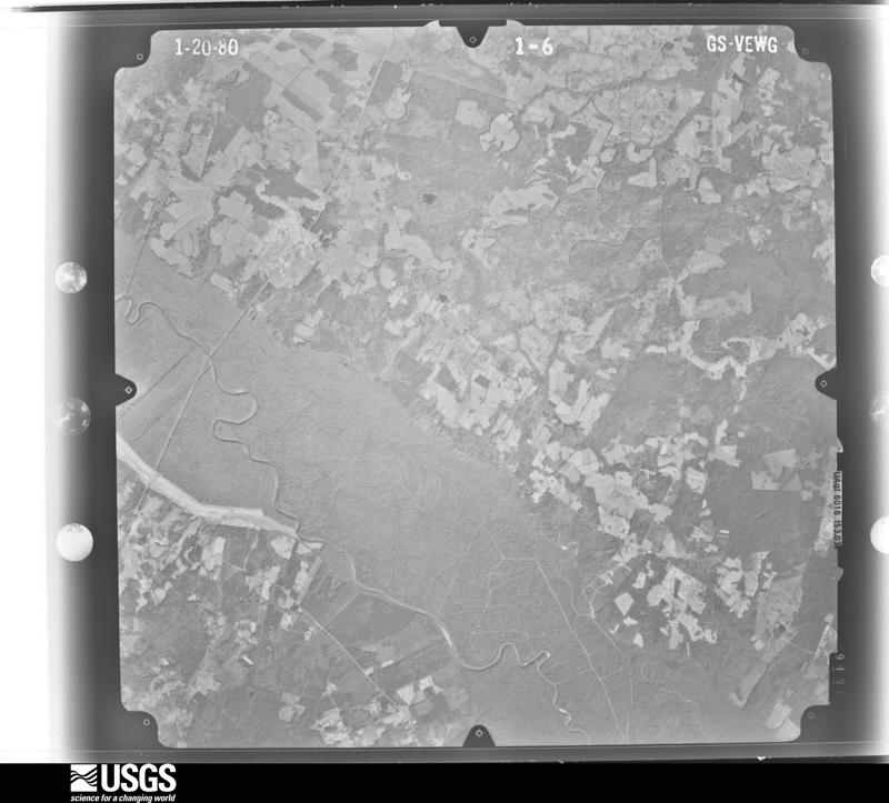
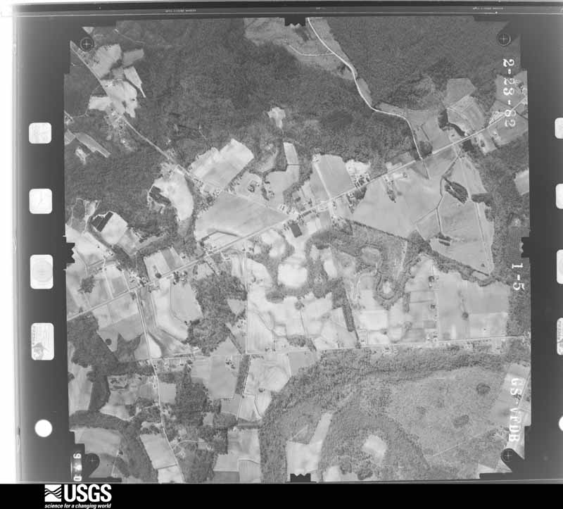
Flown by the U.S. Geological Survey between 1937 and 1989, the Aerial Photo Single Frames collection is the definitive mid-century view of the land: fields, roads and rivers as the camera saw them. The Survey holds 2,837 frames inside the rectangle that bounds this county; the 48 frames below were taken over the county itself, chosen across the decades of flights (at most four a year from that rectangle), so one flight cannot crowd out the rest. The full set is free to browse and download at EarthExplorer under the dataset Aerial Photo Single Frames.
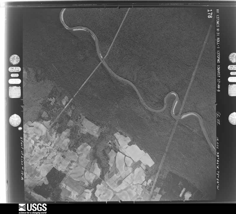
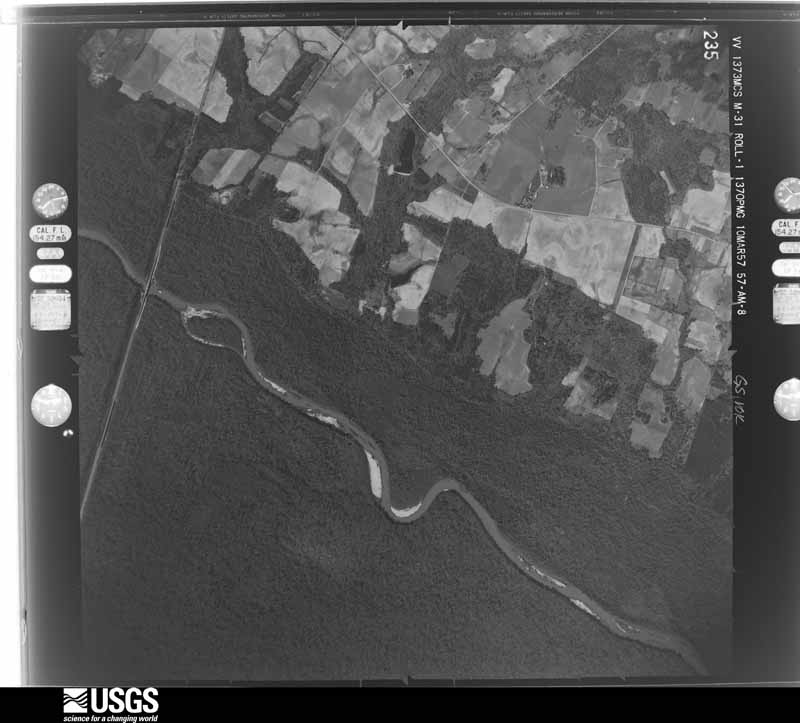
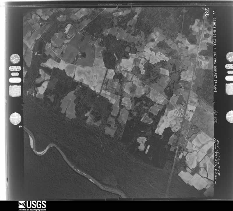
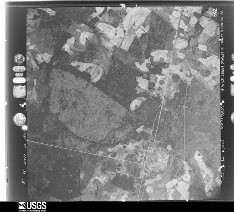
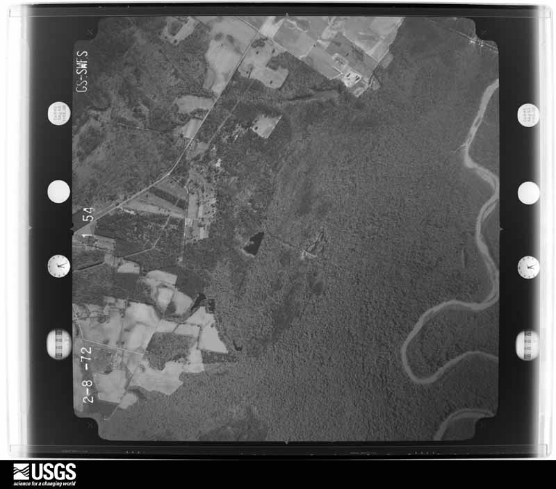
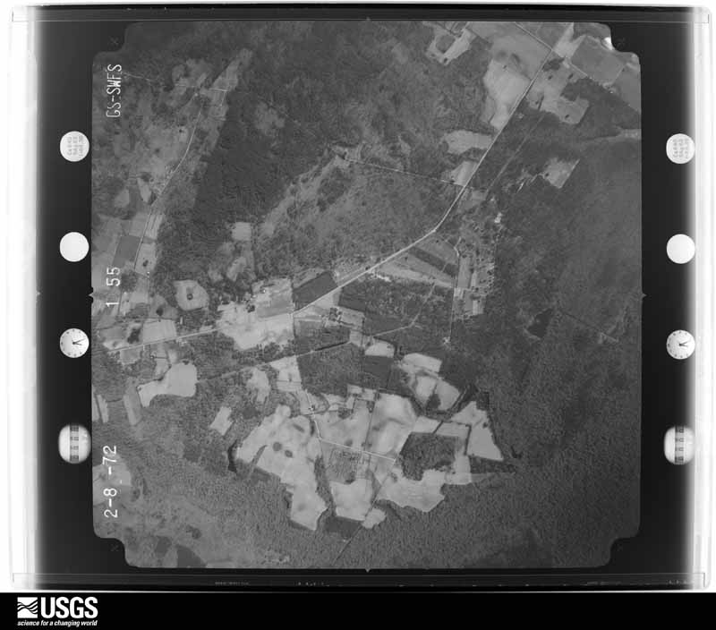
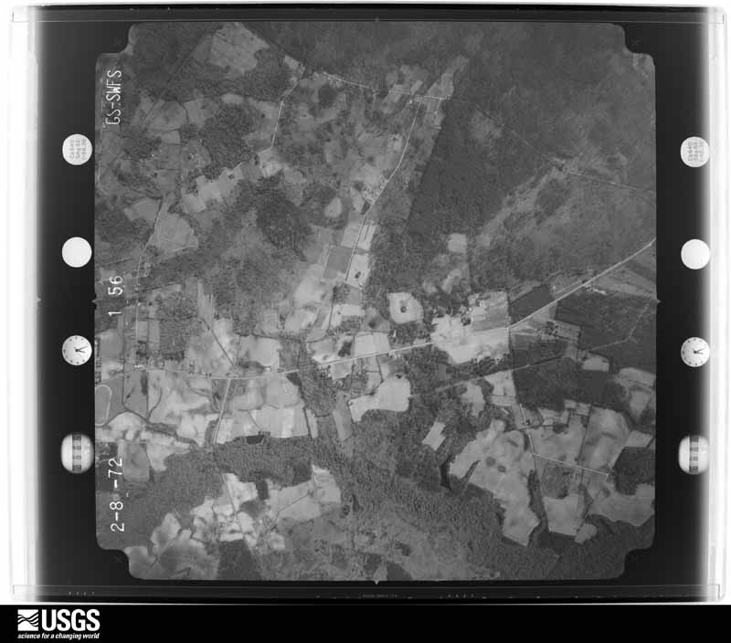

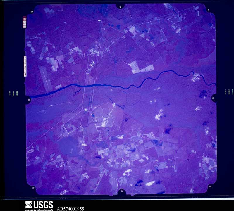









The thermometers that kept this county's weather, and the gages that measured the flow of its streams, as the federal records hold them. The extremes below are measured values from those records, not estimates.
Who lived here in 1950, one enumeration district at a time, as the Census Bureau described each district. Each row opens its official National Archives result, with Population Schedules and ED Maps available there.
Every wildfire the federal occurrence database records inside this county: 6,019 of them, burning about 52,522 acres. 40 started naturally and 1,732 were recorded as arson. Each settlement page carries the fires within five miles of it.
| Reported cause | Fires |
|---|---|
| Missing data/not specified/undetermined | 2035 |
| Debris and open burning | 1873 |
| Arson/incendiarism | 1732 |
| Equipment and vehicle use | 159 |
| Smoking | 78 |
| Misuse of fire by a minor | 46 |
| Natural | 40 |
| Railroad operations and maintenance | 21 |
| Power generation/transmission/distribution | 19 |
| Recreation and ceremony | 9 |
| Other causes | 6 |
| Fireworks | 1 |
The five largest, by the area the report gives. Three of them were set deliberately.
| Date | Cause | Size | Reported by | Name on the report |
|---|---|---|---|---|
| 18 March 1994 | Missing data/not specified/undetermined | 862 acres | South Carolina Forestry Commission | not named |
| 16 February 2002 | Arson/incendiarism | 380 acres | South Carolina Forestry Commission | not named |
| 8 March 2008 | Arson/incendiarism | 362 acres | South Carolina Forestry Commission | TRIO |
| 14 March 2013 | Arson/incendiarism | 360 acres | South Carolina Forestry Commission | not named |
| 19 April 2001 | Smoking | 300 acres | South Carolina Forestry Commission | not named |
| 2 March 1999 | Debris and open burning | 280 acres | South Carolina Forestry Commission | not named |
| 18 March 1994 | Missing data/not specified/undetermined | 275 acres | South Carolina Forestry Commission | not named |
| 30 May 1994 | Missing data/not specified/undetermined | 270 acres | South Carolina Forestry Commission | not named |
Every settlement page carries the fires within five miles of it - see the settlement index below.
The NOAA Storm Events Database holds 273 reports for this county, causing no deaths, 19 injuries and about $12,959,750 in recorded property damage. Each settlement page carries the reports that name it.
| Kind of event | Reports |
|---|---|
| Thunderstorm Wind | 150 |
| Hail | 79 |
| Flash Flood | 16 |
| Tornado | 14 |
| Flood | 7 |
| Lightning | 4 |
| Heavy Rain | 3 |
The most serious of them, by death, then injury, then recorded damage. The accounts are quoted exactly as the forecast office filed them.
| When | Event | Place named | Harm | What the report says |
|---|---|---|---|---|
| November 1995 | Tornado (F1) | Kingstree | 11 hurt, $350,000 | Two tornado touchdowns destroyed a laundromat and downed trees onto homes. |
| July 2003 | Thunderstorm Wind | Kingstree | 4 hurt, $85,000 | A NWS storm survey concluded a downburst rolled a manufactured home (that was not tied down) 75 feet over a car and into a ditch. Four people were in the home and were treated for minor injuries. |
| May 2003 | Tornado (F1) | Hemingway | 3 hurt, $320,000 | A National Weather Service storm survey determined an F1 tornado touched down approximately 2.5 miles west of Hemingway. The tornado overturned two singlewide mobile homes and tore the roof off another, dropping it on a vehicle and causing damage. The damage estimate in this area was $100K. Two people were hospitalized. The tornado continued east southeast, weakening somewhat, and caused F0 damage, snapping pine trees. The trees fell on a singlewide and doublewide mobile home and two vehicles. One person was hopitalized, and the damage in this area totaled $120K. The tornado strengthened, causing F1 damage once again one mile south of Hemingway. It destroyed a tobacco warehouse and damaged a farm supply building, with $100K damage. The tornado turned slightly northeast, and caused F0 damage to trees and a wheat field before finally dissipating. The spotty damage path length was 3.8 miles. |
| November 1995 | Tornado (F1) | Sandridge | 1 hurt, $150,000 | Several mobile homes damaged or destroyed. |
| October 2015 | Flood | Kingstree | $8,000,000 | Around 10 to 15 inches of rain fell over a three day period, causing the Black River at Kingstree to rise to a major flood. The river crested at 22.65 feet, beating the previous record crest in 1973 by nearly three feet. Several hundred homes were evacuated due to inundation. The town of Quinby had moderate flooding. |
| October 2015 | Flash Flood | Holly Tree Plantatio | $800,000 | Widespread flooding across the county with numerous roads reportedly impassable. |
| June 2015 | Lightning | Greeleyville | $500,000 | Lightning struck Mt. Zion AME church in Greeleyville. The 8000 sq ft church caught fire and was a total loss. |
| October 2015 | Flash Flood | Kingstree | $500,000 | Numerous streets and adjacent property was reported flooded in Kingstree to include Main Street. |
| August 2004 | Flash Flood | Greeleyville | $400,000 | Heavy rains associated with the remnants of Tropical Storm Gaston amounted to around 10 inches in about 3 to 4 hours over western Williamsburg County. This resulted in widespread road closures across western portions of the county. |
| October 2016 | Flash Flood | Millwood | $250,000 | Flood waters were reportedly rushing across several roads. A few structures were also impacted by the flood waters. The time was estimated. |
| May 1978 | Tornado (F2) | not stated | $250,000 | no account filed |
| March 2008 | Tornado (EF1) | Trio | $200,000 | A National Weather Service Storm Survey concluded an EF1 tornado with winds to 100 mph developed just west of Steadfast Road where most of the damage occurred. The tornado dissipated just east of Jumpin Run Road. Thirty five homes were damaged, 7 suffered major damage and 5 were completely destroyed. The maximum path width was 75 yards. The path length was about 4 miles. Williamsburg County officials estimated the damage at $200,000 dollars. |
| June 2017 | Thunderstorm Wind | Hemingway | $100,000 | Widespread wind damage to include tree damage was reported across the town of Hemingway. |
| July 2003 | Tornado (F1) | Salters | $75,000 | A National Weather Service storm survey determined a tornado touched down twice over a one mile path. The first touch down occurred one mile southeast of Salters, snapping trees and destroying a manufactured home, equipment shed, and another building. The tornado dropped debris over a quarter mile path, and the damage was consistent with an F1. The tornado touched down again northeast of Salters, downing a tree, and flipping several sheds. Damage in this area was consistent with an F0. There were no reported injuries. |
| June 1998 | Tornado (F1) | Cades | $72,000 | no account filed |
| October 2016 | Flash Flood | Bartell Xrds | $50,000 | Flood waters washed out a portion of roadway at the intersection of Old Georgetown Road and Dewey Cox Road near the Florence and Williamsburg County line. |
| October 2015 | Flash Flood | Rhems | $50,000 | Roadway was reported flooded near the intersection of State Road 41 and State Road 51. |
| June 2010 | Flood | Hemingway | $50,000 | A storm survey by a NWS employee revealed extensive flooding in downtown Hemingway. The back parking lot of the Post Office flooded, with water reaching the floorboards of several vans. A dumpster floated to the other side of the parking lot. Water flooded the Masonic Temple, despite sandbags. Flood waters also entered the Town Hall. |
| July 2007 | Thunderstorm Wind | Kingstree | $50,000 | A storm survey concluded straight line winds peeled back the roofing on three small and open hangers. A small Cesna plane was tipped onto one wing. A cotton trailer was overturned. Trees were also blown down. |
| May 2000 | Thunderstorm Wind | Trio | $50,000 | National Weather Service storm damage assessment in Trio described damage to 5 model homes in the Blakely housing development due to straight line thunderstorm winds estimated at 65-75 mph. Dime-size hail was also reported in the town. |
| August 2000 | Thunderstorm Wind | Trio | $50,000 | Thunderstorm wind gusts damaged 20 mobile homes and numerous trees were reported down. In addition, the wind damaged 30 to 40 acres of corn crop in the area. |
| January 1995 | Thunderstorm Wind | countywide | $50,000 | Trees blown down and power outages across county. |
| June 2016 | Thunderstorm Wind | Workman | $35,000 | A survey conducted by the National Weather Service concluded a squall line produced straight-line winds up to 75 to 85 mph. The most significant damage surveyed was along Manning Highway between Easler Highway and Highway 52. Tree damage along this 5 mile stretch of roadway was widespread. Numerous large limbs were blown out of healthy trees. A few tree tops were snapped out of healthy trees, up to 14 inches in diameter. A few larger trees were snapped off, but these larger trees possessed considerable rotten wood. A few medium to large trees were uprooted. In addition, several homes lost a small amount of shingles or flashing. Some homes received mostly minor damage from falling trees or limbs. A few outdoor buildings were damaged or destroyed as the wind lifted the metal roofing and deposited it up to 100 yards away. The time of the damage was estimated based on radar data. |
| October 2015 | Flash Flood | Kingstree | $35,000 | Water was reportedly crossing North Jackson Street. |
| October 2015 | Flash Flood | Cades | $30,000 | Portions of Cade Road were reported flooded. |
| October 2015 | Flash Flood | Heineman | $30,000 | Portions of Union Church Road were reported flooded. |
| July 2009 | Thunderstorm Wind | Mouzon | $30,000 | A National Weather Service Storm Survey concluded a microburst with winds to 65 mph ripped the roof off of a single wide mobile home and partially tore the siding off of a manufactured home. Ten large trees were snapped or uprooted. The damage occurred from near Violet Road to Lynchburg Road. The path length was 230 yards. The maximum path width was 0.5 miles. |
| June 2016 | Thunderstorm Wind | Greeleyville | $25,000 | Widespread tree and power line damage was reported along Highway 521 from near Greeleyville to Trio Road. The time of the damage was estimated based on radar data. |
| June 2010 | Lightning | Hemingway | $25,000 | Lightning struck a tree, which fell on a trailer, causing extensive damage. |
| April 2006 | Thunderstorm Wind | Nesmith | $25,000 | Storm survey found several trees snapped and a pack house was blown off its blocks. Another house sustained wind and hail damage. Golfball size hail was reported. |
| June 1983 | Tornado (F1) | not stated | $25,000 | no account filed |
| May 1965 | Tornado | not stated | $25,000 | no account filed |
| November 1995 | Tornado (F0) | Kingstree | $20,000 | Tornado destroyed a mobile home and scattered cotton bales. |
| October 2015 | Flash Flood | Cades | $15,000 | Portions of Dewey Cox Road were reported flooded. |
| June 2009 | Thunderstorm Wind | Millwood | $15,000 | Numerous trees and power lines were reported down from near Kingstree to Kellehan Crossroads. One hundred and sixty one homes sustained a loss of electricity. |
| May 2006 | Thunderstorm Wind | Andrews | $15,000 | Several large trees uprooted. One fell on a truck and a porch was shifted. Several pear trees were snapped. |
| January 1995 | Thunderstorm Wind | not stated | $10,000 | Trees downed knocking out power across county |
| June 1998 | Thunderstorm Wind | Trio | $10,000 | no account filed |
| June 2015 | Thunderstorm Wind | Oak Ridge | $7,000 | Several trees and large limbs were reported down near the intersection of Oakridge Road and Earle Road. The roof of an old barn was damaged. |
| April 2011 | Thunderstorm Wind | Salters | $6,000 | Trees were reportedly down on Highway 521 near Salters. |
| June 2017 | Thunderstorm Wind | Hemingway | $5,000 | Roofs were reportedly blown off of two buildings on Circle Drive. |
| October 2015 | Flash Flood | Moore Xrds | $5,000 | Portions of Ed Road were reported flooded. |
| October 2015 | Flash Flood | Martins Xrds | $5,000 | Portions of Covington Road were reported flooded. |
| June 2009 | Thunderstorm Wind | Brockington | $5,000 | Trees were reported down along Highway 52. The report was relayed through the Williamsburg County 911 Center. |
| June 2003 | Thunderstorm Wind | Trio | $5,000 | Strong winds blew the roof off a mobile home. |
| July 1999 | Thunderstorm Wind | Warsaw | $5,000 | Power company reported trees downed onto power lines. |
| August 1999 | Hail | Hemingway | $5,000 | Nickle size hail covered the ground, and a large oak tree was downed, knocking out power. |
| April 1997 | Thunderstorm Wind | Hemingway | $5,000 | ROOF DAMAGE, NUMEROUS TREES AND POWER LINES DOWN |
| June 1998 | Thunderstorm Wind | Cades | $5,000 | no account filed |
| September 2015 | Thunderstorm Wind | Satters Depot | $4,000 | Power poles and power lines were reported down along U.S. 521. |
| June 2011 | Thunderstorm Wind | Nesmith | $4,000 | Several trees were reportedly down along Sandhill Road. |
| June 2010 | Thunderstorm Wind | Hemingway | $4,000 | Several trees were reported down near the intersection of Highway 41/51 and Highway 261. |
| June 2010 | Thunderstorm Wind | Hebron Xrds | $4,000 | Four trees were reported down. |
| January 2024 | Thunderstorm Wind | Kellehan Xrds | $3,000 | Large tree down on property along Birch Creek Rd. located approximately a half mile from intersection with NC-527/Thurgood Marshall Highway. |
| June 2017 | Thunderstorm Wind | Hemingway | $3,000 | A large tree reportedly fell onto power lines on S Lee St. |
| August 2012 | Thunderstorm Wind | Kingstree | $3,000 | Trees were reported down on Park Avenue. |
| August 2012 | Thunderstorm Wind | Blakely | $3,000 | Trees reported down on Blakely Road. |
| July 2011 | Thunderstorm Wind | Indiantown | $3,000 | Trees were reported down at the intersection of Old Georgetown Road and Highway 261. |
| April 2011 | Hail | Greeleyville | $3,000 | Hail to the size of golf balls was reported by a trained spotter. |
| May 2011 | Thunderstorm Wind | Fowler | $3,000 | Trees were reportedly down on McGirt Swamp Road. |
The Survey's mineral resources record lists 8 workings inside this county. 2 still produce and 6 are closed or unrecorded. Each settlement page carries the workings within five miles of it.
| Commodity | Workings |
|---|---|
| Sand and Gravel, Construction | 5 |
| Sand | 2 |
| Clay | 1 |
The least common of them first, because a county's hundredth gravel pit says nothing its first ten did not.
| Where | Site | Commodity | Status | Recorded |
|---|---|---|---|---|
| Gourdin Fullers Earth Pit | Clay | Unknown | Sedimentary | |
| McKenzie Pit # 2 | Sand | Producer | Sedimentary | |
| McKenzie Pit # 2 | Sand | Producer | Sedimentary | |
| Parsons Sand Pit | Sand and Gravel, Construction | Unknown | Sedimentary | |
| Parsons Sand Pit | Sand and Gravel, Construction | Past Producer | ||
| Unnamed Sand Pit | Sand and Gravel, Construction | Past Producer | Sedimentary | |
| Warsaw Pit | Sand and Gravel, Construction | Unknown | Sedimentary | |
| Warsaw Pit | Sand and Gravel, Construction | Past Producer |
One book written about this county, cut here where the book itself is cut, at its printed chapters: 38 chapters in all. Every chapter is public domain, machine-read from the scan and reproduced complete. A chapter already given under one of the county's towns is not repeated in this list.
Named settlements recorded in the Geographic Names Information System, each with the topographic sheets covering it. Villages, hamlets and abandoned places alike. Each is shown with the nearest named watercourse or landform and the survey quadrangle it falls on. The 1 place that was also surveyed for fire insurance comes first, with the number of atlases and photographs held for them.
Kingstree census division · 29556 · Kingstree quadrangle
8 sheets, 1946 to 1990
Fire insurance: 5 atlases
Trio census division · 29510 · On Johnsons Swamp · Andrews quadrangle
9 sheets, 1943 to 1986
Indiantown census division · 29554 · Prospect Crossroads quadrangle
8 sheets, 1946 to 1990
Kingstree census division · 29590 · On Pushing Branch · Workman quadrangle
8 sheets, 1946 to 1990
Lane census division · 29590 · On Stony Run Branch · Salters quadrangle
8 sheets, 1946 to 1990
Trio census division · 29510 · On Brunson Branch · Jamestown quadrangle
8 sheets, 1943 to 1986
Kingstree census division · 29556 · On Home Swamp · Fowler quadrangle
8 sheets, 1946 to 1990
Hemingway census division · 29554 · On Headless Creek · Henry quadrangle
8 sheets, 1943 to 1986
Cades census division · 29518 · On Smiths Bay · Lake City West quadrangle
8 sheets, 1946 to 1990
Greeleyville census division · 29056 · On Holliman Swamp · Greeleyville quadrangle
8 sheets, 1946 to 1990
Hemingway census division · 29554 · On Waterman Branch · Henry quadrangle
8 sheets, 1943 to 1986
Trio census division · 29510 · On Johnsons Swamp · Andrews quadrangle
9 sheets, 1943 to 1986
Kingstree census division · 29518 · On Bull Branch · Hebron Crossroads quadrangle
8 sheets, 1946 to 1990
Hemingway census division · 29554 · On Headless Creek · Henry quadrangle
8 sheets, 1943 to 1986
Indiantown census division · 29554 · On Boggy Swamp · Indiantown quadrangle
8 sheets, 1946 to 1990
Nesmith census division · 29556 · Kellehan Crossroads quadrangle
8 sheets, 1946 to 1990
Trio census division · 29510 · Near Big Ridge · Trio quadrangle
8 sheets, 1943 to 1986
Greeleyville census division · 29056 · On Mill Branch · Workman quadrangle
8 sheets, 1946 to 1990
Indiantown census division · 29554 · Prospect Crossroads quadrangle
8 sheets, 1946 to 1990
Kingstree census division · 29556 · On Gumtree Branch · Kellehan Crossroads quadrangle
8 sheets, 1946 to 1990
Kingstree census division · 29556 · On Pudding Swamp · Workman quadrangle
8 sheets, 1946 to 1990
Hemingway census division · 29554 · Johnsonville quadrangle
8 sheets, 1946 to 1990
Nesmith census division · 29580 · On Headless Creek · Indiantown quadrangle
8 sheets, 1946 to 1990
Greeleyville census division · 29590 · Greeleyville quadrangle
8 sheets, 1946 to 1990
No longer a settlement
Kingstree census division · 29556 · Kingstree quadrangle
8 sheets, 1946 to 1990
No longer a settlement
Hemingway census division · 29554 · On Caney Branch · Henry quadrangle
8 sheets, 1943 to 1986
Kingstree census division · 29556 · On Laws Swamp · Salters quadrangle
8 sheets, 1946 to 1990
Hemingway census division · 29554 · Johnsonville quadrangle
8 sheets, 1946 to 1990
Lane census division · 29590 · On Thorntree Swamp · Salters quadrangle
8 sheets, 1946 to 1990
Lane census division · 29590 · On Thorntree Swamp · Salters quadrangle
8 sheets, 1946 to 1990
Hemingway census division · 29554 · On Hughs Branch · Henry quadrangle
8 sheets, 1943 to 1986
Hemingway census division · 29554 · On James Branch · Indiantown quadrangle
8 sheets, 1946 to 1990
Cades census division · 29560 · Hebron Crossroads quadrangle
8 sheets, 1946 to 1990
Nesmith census division · 29580 · On Jacks Creek · Rhems quadrangle
8 sheets, 1943 to 1986
No longer a settlement
Kingstree census division · 29556 · On Pudding Swamp · Workman quadrangle
8 sheets, 1946 to 1990
The vanished settlements of Williamsburg County: the places named above that are no longer on the map.
8 topographic sheets and 5 fire insurance atlases, 1908 to 1940
The complete index, with nothing left out. Each of these is a separate record with its own page: a federal survey report, or the case file that argued a property on to the National Register. Both are public domain and reproduced word for word.
The vanished settlements of Williamsburg County, the places these records name that are no longer on the map.