 Block
Danforth, South Dakota
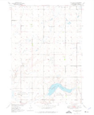
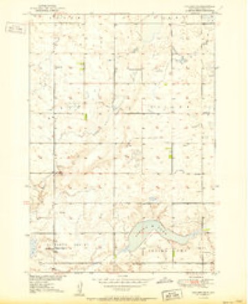
9 topographic sheets cover this place, the earliest surveyed in 1949 and the latest in 1985. It stands in Spring Lake Township. It lies in ZIP code area 57381. The Survey maps it on the Vayland SW quadrangle.
Topographic sheets covering this place
5 surveys from 9 printed sheetsMatched by testing this settlement's coordinate against the published boundary of every sheet in the United States Geological Survey's historical collection. Each opens the scanned sheet at the Survey.
- 1949 USGS Vayland SW quadrangle1:24000
- 1951 USGS Vayland SW quadrangle1:24000, 2 printings
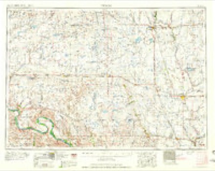
- 1953 USGS Huron quadrangle1:250000, 3 printings
- 1954 USGS Huron quadrangle1:250000
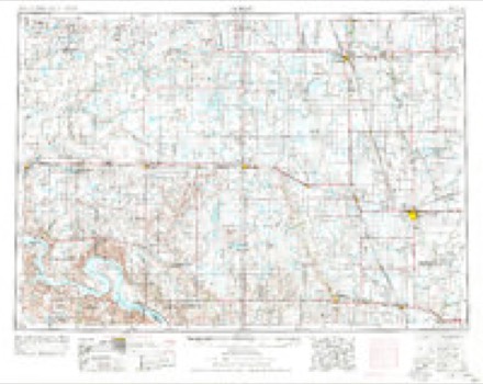
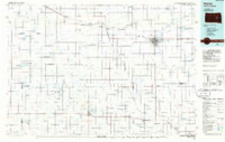
- 1985 USGS Huron quadrangle1:100000, 2 printings
Fires near this place
9 since 2000Regional context, not property-specific evidence. The federal wildfire occurrence database lists 9 fires within 5 miles of Danforth between 2000 and 2017, burning about 219 acres in total. None started naturally. None was recorded as arson. Distance is straight-line from the map coordinates, so a fire counted here may appear on a neighbouring settlement's page as well.
| Reported cause | Fires |
|---|---|
| Missing data/not specified/undetermined | 4 |
| Equipment and vehicle use | 4 |
| Debris and open burning | 1 |
The most recent of them, most recent first, with the day each was reported and the service that recorded it.
| Date | Cause | Size | Reported by | Name on the report |
|---|---|---|---|---|
| 20 September 2013 | Missing data/not specified/undetermined | under an acre | Hand County | HASS |
| 31 August 2012 | Debris and open burning | 5.0 acres | South Dakota Wildland Fire Suppression | MCCARTNEY |
| 28 August 2012 | Missing data/not specified/undetermined | 5.0 acres | South Dakota Wildland Fire Suppression | SCHOLTEN |
| 27 August 2012 | Missing data/not specified/undetermined | 75 acres | South Dakota Wildland Fire Suppression | GANN VALLEY |
| 16 July 2002 | Equipment and vehicle use | under an acre | Brookings County | COUNTRY CLUB ROAD |
| 10 June 2017 | Equipment and vehicle use | 2.0 acres | South Dakota Wildland Fire Suppression | GALEN WALMEN |
| 1 April 2003 | Equipment and vehicle use | 2.0 acres | South Dakota Wildland Fire Suppression | not named |
| 4 March 2000 | Equipment and vehicle use | 130 acres | Miller Volunteer Fire Department | LYLE FORD |
Storms near this place
60 of 85 shownRegional context, not property-specific evidence. The National Weather Service names Danforth in 85 storm reports between 2004 and 2025: 38 hail, 32 thunderstorm wind, 7 flash flood, 4 funnel cloud. The reports record 2 injuries. Each account below is quoted exactly as the forecast office filed it, from the NOAA Storm Events Database, and each date opens the federal record of that event.
| When | Event | Place named | Harm | What the report says |
|---|---|---|---|---|
| July 2010 | Flash Flood | Danforth | 2 hurt, $150,000 | Very heavy rains of 5 to 10 inches caused the Rosehill Dam to break in the early morning hours in southeast Hand county. Flash flooding began around 1 am CDT with two campers being swept up around 130 am CDT. The two campers clung to a tree until they could be rescued around 6 am CDT. They were both injured with one camper being treated for hypothermia and other airlifted to Sioux Falls to be treated for broken ribs and head trauma. ||The dam broke at 330 am CDT with the spillway breaking at 420 am CDT. There was a 100 to 150 foot hole left by the dam break. The flash flooding continued downstream on Sand Creek causing damage to area farms, filling basements, and flooding many roads. |
| June 2024 | Flash Flood | Danforth | $191,000 | Hand county emergency management and sheriffs office has posted numerous photos of water in basements, water over roads and significant ponding in agricultural areas. Water was widespread across the southern half of the county. |
| June 2013 | Flash Flood | Danforth | $5,000 | Flash flooding washed a culvert out of the road. |
| July 2025 | Thunderstorm Wind | Danforth | - | A member of the public indicated that thunderstorm winds had knocked down tree branches in excess of 2 inches in diameter with estimated 60 mph winds. |
| July 2025 | Thunderstorm Wind | Danforth | - | The Remote Automatic Weather Stations (RAWS) in Huron recorded a peak wind gust of 72 mph, with tree damage observed nearby. |
| July 2023 | Tornado (EF0) | Danforth | - | A brief tornado resulted in the collapse of the walls of a 25X50 shed. The debris from the shed was spread roughly 75 yards to the southeast. There was no other visible damage to the property or shelterbelt. A neighbor to the southeast witnessed clear rotation extending from the cloud base in the direction of where the damaged occurred. |
| July 2023 | Thunderstorm Wind | Danforth | - | The Emergency Manager reported a shed was destroyed. |
| July 2023 | Thunderstorm Wind | Danforth | - | The Emergency Manager reported large tree branches down, a camp obstacle course damaged, and broken glass on a window from wind driven hail or debris. |
| July 2023 | Thunderstorm Wind | Danforth | - | The storm caused the collapse of the rafters on a house that was being built. |
| July 2023 | Thunderstorm Wind | Danforth | - | Large tree branches were broken, and a grain cart was tipped over. |
| April 2022 | Thunderstorm Wind | Danforth | - | Severe winds tossed a camper on Highway 45. |
| August 2020 | Thunderstorm Wind | Danforth | - | Estimated seventy mph winds damaged several outbuildings, fencing, and crops. |
| July 2015 | Thunderstorm Wind | Danforth | - | Sixty mph winds were estimated. |
| May 2012 | Thunderstorm Wind | Danforth | - | Sixty mph winds downed several large branches. |
| June 2012 | Thunderstorm Wind | Danforth | - | Seventy mph winds were estimated. |
| June 2012 | Thunderstorm Wind | Danforth | - | Sixty mph winds were estimated. |
| September 2012 | Hail | Danforth | - | Half dollar sized hail and strong winds caused moderate crop damage. |
| September 2012 | Hail | Danforth | - | Hail caused some damage to crops. |
| September 2012 | Thunderstorm Wind | Danforth | - | Severe winds along with hail caused significant damage to crops. |
| June 2011 | Tornado (EF0) | Danforth | - | A tornado touched down briefly south of Miller. No damage was reported. |
| June 2010 | Flash Flood | Danforth | - | Very heavy rains caused the flash flooding of several locations on the county highway along with many other county and township roads. |
| June 2010 | Flash Flood | Danforth | - | A couple county roads around Danforth were flooded for a few hours. |
| July 2010 | Flash Flood | Danforth | - | Many roads were flooded by very heavy rains of 5 to 10 inches in southeast Hand county including Highway 45. |
| June 2009 | Tornado (EF0) | Danforth | - | A tornado touched down in southeast Hand county and remained on the ground for nearly 15 minutes before lifting. No damage occurred with this tornado as it remained in open country. |
| July 2008 | Thunderstorm Wind | Danforth | - | Seventy mph winds laid much of the crops over, brought down some branches, and damaged a fence and a swing set. |
| July 2008 | Thunderstorm Wind | Danforth | - | Sixty mph winds brought down some large tree branches. |
| May 2007 | Flash Flood | Danforth | - | Very heavy rains of 3 to 5 inches fell across much of southern and eastern Hand County causing flash flooding. Many roads along with some homes were damaged by the flooding. Many acres of cropland were also damaged with seeds and fertilizer washed away. Rainfall amounts included 3.65 inches at Miller and 5.10 inches north of Danforth. |
| May 2007 | Flood | Danforth | - | Widespread flooding from very heavy rains continued across southern and eastern Hand county throughout May 6th. Many roads along with some homes were damaged by the flooding. Many acres of cropland were also damaged with seeds and fertilizer washed away. |
| August 2004 | Thunderstorm Wind | Danforth | - | Large tree limbs downed. |
| July 2023 | Hail | Danforth | - | no account filed |
| July 2023 | Hail | Danforth | - | no account filed |
| July 2023 | Thunderstorm Wind | Danforth | - | no account filed |
| April 2022 | Hail | Danforth | - | no account filed |
| April 2022 | Thunderstorm Wind | Danforth | - | no account filed |
| July 2022 | Thunderstorm Wind | Danforth | - | no account filed |
| August 2020 | Thunderstorm Wind | Danforth | - | no account filed |
| July 2019 | Thunderstorm Wind | Danforth | - | no account filed |
| July 2019 | Thunderstorm Wind | Danforth | - | no account filed |
| June 2017 | Hail | Danforth | - | no account filed |
| June 2017 | Hail | Danforth | - | no account filed |
| July 2017 | Thunderstorm Wind | Danforth | - | no account filed |
| August 2016 | Thunderstorm Wind | Danforth | - | no account filed |
| July 2016 | Funnel Cloud | Danforth | - | no account filed |
| July 2016 | Hail | Danforth | - | no account filed |
| June 2015 | Thunderstorm Wind | Danforth | - | no account filed |
| June 2014 | Hail | Danforth | - | no account filed |
| June 2014 | Funnel Cloud | Danforth | - | no account filed |
| June 2014 | Thunderstorm Wind | Danforth | - | no account filed |
| June 2013 | Thunderstorm Wind | Danforth | - | no account filed |
| June 2013 | Thunderstorm Wind | Danforth | - | no account filed |
| May 2013 | Thunderstorm Wind | Danforth | - | no account filed |
| May 2012 | Hail | Danforth | - | no account filed |
| May 2012 | Hail | Danforth | - | no account filed |
| May 2012 | Hail | Danforth | - | no account filed |
| May 2012 | Hail | Danforth | - | no account filed |
| June 2012 | Hail | Danforth | - | no account filed |
| June 2012 | Hail | Danforth | - | no account filed |
| June 2012 | Hail | Danforth | - | no account filed |
| September 2012 | Hail | Danforth | - | no account filed |
| September 2012 | Hail | Danforth | - | no account filed |
Nearest settlements
The eight closest, with where each one stands in the county. Distances are straight-line, computed from the Geographic Names Information System coordinates.
| Map | Place | Distance | Sheets |
|---|---|---|---|
| Sweetland (historical) | 8.0 miles | 9 | |
| Ames | 10.7 miles | 7 | |
| Miller Dale Colony | 15.8 miles | 7 | |
| Vayland | 17.1 miles | 8 | |
| Saint Lawrence | 18.4 miles | 8 | |
| Miller | 19.1 miles | 8 | |
| Ree Heights | 24.8 miles | 9 | |
| Florence (historical) | 30.7 miles | 9 |
Provenance
This settlement is recorded in the Geographic Names Information System as feature 1260996. The sheet list is computed by point-in-boundary test against the United States Geological Survey's historical topographic inventory. Both are works of the United States government and carry no copyright under 17 U.S.C. 105.
Wildfire. Short, Karen C. 2022. Spatial wildfire occurrence data for the United States, 1992-2020 [FPA_FOD_20221014]. 6th Edition. Fort Collins, CO: Forest Service Research Data Archive. https://doi.org/10.2737/RDS-2013-0009.6 Collected with United States Government funding and usable without additional permissions or fees.
Storms. NOAA National Centers for Environmental Information, Storm Events Database https://www.ncei.noaa.gov/stormevents/ A work of the United States government, no copyright under 17 U.S.C. 105. Narratives are quoted verbatim from the National Weather Service report and are not edited or summarised.