 Block
Okaton, South Dakota
6 topographic sheets cover this place, the earliest surveyed in 1955 and the latest in 1985. It stands in Okaton Township. It lies in ZIP code area 57562. The Survey maps it on the Okaton quadrangle. 31 people lived here at the 2020 count. It stands 2,349 feet above sea level.
Population over time
2 figuresOkaton fell from 36 to 31 between 2010 and 2020. These are the recorded population figures Wikidata holds for this place, reached through the Geographic Names Information System number this page is keyed on rather than by name, so they belong to this place and not to another of the same name. Most are census counts, but not all are: an early figure may be a founding or settlement estimate, and an estimate published within five years of a census is left out. The change column is computed, and is left blank where more than 20 years separate a figure from the one before it, because a gap that long is not a change between two counts.
| Year | People | Change |
|---|---|---|
| 2010 | 36 | |
| 2020 | 31 | -5 (-14%) |
Topographic sheets covering this place
4 surveys from 6 printed sheetsMatched by testing this settlement's coordinate against the published boundary of every sheet in the United States Geological Survey's historical collection. Each opens the scanned sheet at the Survey.
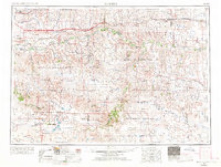
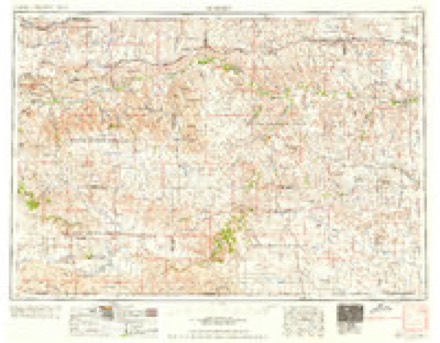
- 1955 USGS Martin quadrangle1:250000, 2 printings
- 1958 USGS Martin quadrangle1:250000
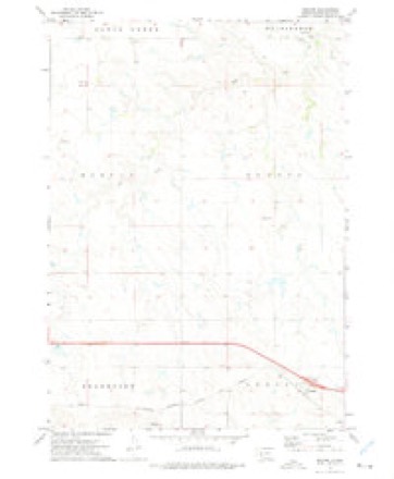
- 1972 USGS Okaton quadrangle1:24000
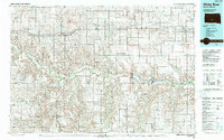
- 1985 USGS White River quadrangle1:100000, 2 printings
Fires near this place
18 since 1999Regional context, not property-specific evidence. The federal wildfire occurrence database lists 18 fires within 5 miles of Okaton between 1999 and 2020, burning about 197 acres in total. 7 started naturally. None was recorded as arson. Distance is straight-line from the map coordinates, so a fire counted here may appear on a neighbouring settlement's page as well.
| Reported cause | Fires |
|---|---|
| Natural | 7 |
| Equipment and vehicle use | 6 |
| Missing data/not specified/undetermined | 4 |
| Railroad operations and maintenance | 1 |
The most recent of them, most recent first, with the day each was reported and the service that recorded it.
| Date | Cause | Size | Reported by | Name on the report |
|---|---|---|---|---|
| 9 September 2020 | Equipment and vehicle use | under an acre | South Dakota Wildland Fire Suppression | TODD BARNES HAY FIRE |
| 18 September 2020 | Railroad operations and maintenance | under an acre | South Dakota Wildland Fire Suppression | MM182 TRIKE FIRE |
| 9 August 2008 | Natural | under an acre | South Dakota Wildland Fire Suppression | not named |
| 9 August 2006 | Natural | 3.0 acres | South Dakota Wildland Fire Suppression | not named |
| 4 August 2008 | Natural | under an acre | South Dakota Wildland Fire Suppression | not named |
| 23 August 2020 | Natural | under an acre | South Dakota Wildland Fire Suppression | ANKER LIGHTING FIRE |
| 14 August 1999 | Natural | 1.0 acres | Orient Volunteer Fire Department | RON LEVTZOW |
| 13 August 1999 | Missing data/not specified/undetermined | under an acre | Sioux Falls Fire Department | SOUTH END MELROSE |
Storms near this place
60 of 65 shownRegional context, not property-specific evidence. The National Weather Service names Okaton in 65 storm reports between 1995 and 2026: 28 thunderstorm wind, 27 hail, 7 flood, 2 tornado. The reports record 2 injuries. Each account below is quoted exactly as the forecast office filed it, from the NOAA Storm Events Database, and each date opens the federal record of that event.
| When | Event | Place named | Harm | What the report says |
|---|---|---|---|---|
| July 2018 | Thunderstorm Wind | Okaton | 2 hurt | Estimated seventy mph winds blew a semi truck and camper over on Interstate-90 west northwest of Okaton with some minor injuries. Part of the interstate was closed for a time to clean up the debris. |
| April 2026 | Hail | Okaton | - | Thunderstorms brought little rainfall, with hail to the size of nickels and wind gusts around 50 mph. Lightning also started fires nearby. |
| July 2024 | Hail | Okaton | - | A CoCoRaHS observer reported that their vehicles windows had been shattered and the homes roof shingles had been damaged by tennis-ball sized hail. |
| July 2024 | Hail | Okaton | - | A resident called to state that windows were shattered at their home due to hail. |
| July 2024 | Thunderstorm Wind | Okaton | - | The Jones county sheriff reported that campers and motorcyclists were blown over while traveling down Interstate 90. Hail had also damaged several vehicles. |
| July 2024 | Thunderstorm Wind | Okaton | - | The public reported that a portion of metal fence including posts were blow over by thunderstorm winds. |
| May 2023 | Thunderstorm Wind | Okaton | - | A trained spotter estimated wind gusts associated with a thunderstorm were on the order of 50 to 60 mph. |
| June 2022 | Tornado (EF2) | Okaton | - | The track started near 239th street, about 0.75 miles east of 264th Ave. The path was clearly noted through a shelter belt. The tornado continued another half mile where it damaged a farm. The primary residence had a quarter of the roof panels ripped off a gable style roof and multiple windows and glass doors blown out. Two outbuildings were completely destroyed. Another shed lost the entire tin roof. The debris track from the farm continued for about a quarter of a mile northeast. The residents pickup truck also noted damage including the back window broken and dents from flying debris. The tornado weakened, but continued roughly 3.5 miles northeast to Van Metre Rd where it damaged another farm. At this property a farmhouse had shingle damage to only half of the roof. A well-built machine shed was missing about a quarter of the roof panels. A grain cart was also flipped to the north. |
| June 2022 | Thunderstorm Wind | Okaton | - | A semi tractor trailer was blown over on Interstate 90. |
| June 2022 | Thunderstorm Wind | Okaton | - | A semi tractor trailer was blown over on Interstate 90. |
| July 2022 | Thunderstorm Wind | Okaton | - | The public estimated 60 mph wind gust. |
| June 2022 | Tornado (EF2) | Okaton | - | A brief tornado touchdown ripped five large grain bins from their base. The bins were well anchored, in fact, large pieces of cement remained attached to the pins when they were pulled out. The bins were projectiled into two machine sheds and eventually carried about a half mile to the east southeast. Other debris, including a water tank and a dumpster were also tossed east. Other farm equipment was also damaged, including a tipped trailer and displaced grain auger. Pressure change inside the machine sheds also resulted in several combine windshields to be popped out. The house and machine sheds on the property sustained very little wind damage but were built well above normal standards, rated to withstand wind speeds at thresholds of 135 mph and 120 mph respectively. |
| August 2020 | Thunderstorm Wind | Okaton | - | A wind gust to seventy-one mph caused damage to a silo. |
| June 2020 | Thunderstorm Wind | Okaton | - | Estimated seventy mph winds tore part of a metal roof off of a building. |
| March 2019 | Flood | Okaton | - | Ice jams, combined with runoff from snow melt, caused moderate flooding along the White River. On March 22nd, the river forced the closure of Highway 83. About a 3/4 mile stretch of Highway 83 was inundated, due to water backing up behind and ice jam downstream. On March 23rd, a record flow of 21,700 cfs was recorded at the site. Records for this location go back 20 years. |
| May 2019 | Flood | Okaton | - | Minor flooding of agricultural land occurred along the White River around the Highway 83 bridge south of Murdo. The river crested just over the flood stage of 14 feet to 14.8 feet on May 25th. |
| July 2019 | Thunderstorm Wind | Okaton | - | Estimated seventy mph winds laid down some corn three miles west of Okaton. |
| May 2019 | Flood | Okaton | - | Minor flooding of agricultural land occurred along the White River around the Highway 83 bridge south of Murdo. The river crested just over the flood stage of 14 feet to 14.9 feet on May 28th. |
| August 2019 | Hail | Okaton | - | Large hail with wind gusts over 50 mph caused some crop damage. |
| July 2019 | Thunderstorm Wind | Okaton | - | Sixty mph winds were estimated. |
| July 2018 | Thunderstorm Wind | Okaton | - | Sixty mph winds were estimated. |
| June 2017 | Thunderstorm Wind | Okaton | - | Sixty mph winds were estimated. |
| June 2016 | Thunderstorm Wind | Okaton | - | Several trees were downed by an estimated seventy mph wind. |
| June 2016 | Thunderstorm Wind | Okaton | - | A camper was blown over by a seventy mph wind on Interstate-90. |
| August 2016 | Thunderstorm Wind | Okaton | - | Sixty mph winds were estimated. |
| June 2015 | Thunderstorm Wind | Okaton | - | Eighty mph winds blew over a semi, destroyed several sheds, along with downing some power lines. |
| July 2015 | Thunderstorm Wind | Okaton | - | Sixty mph winds were estimated. |
| July 2013 | Thunderstorm Wind | Okaton | - | Sixty mph winds were reported by the public. |
| July 2013 | Thunderstorm Wind | Okaton | - | Sixty mph winds were estimated. |
| June 2013 | Thunderstorm Wind | Okaton | - | Seventy mph winds were estimated. |
| June 2013 | Thunderstorm Wind | Okaton | - | Sixty mph winds were estimated. |
| July 2011 | Thunderstorm Wind | Okaton | - | Sixty mph winds were estimated. |
| July 2011 | Thunderstorm Wind | Okaton | - | Sixty mph winds downed some large tree branches. |
| June 2011 | Thunderstorm Wind | Okaton | - | Sixty mph winds blew over a semi on Interstate-90. |
| February 2011 | Flood | Okaton | - | Minor flooding occurred along the White River. The river gage on the Highway 83 bridge north of White River, SD crested at 14.7 feet or 0.7 feet above flood stage. |
| March 2011 | Flood | Okaton | - | Moderate flooding occurred along the White River. The river gage southwest of Oacoma along Highway 47 crested at 23.0 feet or 8.0 feet above flood stage. At least one home was threatened by the flooding. |
| August 2011 | Thunderstorm Wind | Okaton | - | Sixty mph winds were estimated. |
| March 2010 | Flood | Okaton | - | Ice jamming caused minor flooding along the White River across Jones county. The river gage on the Highway 83 bridge south of Murdo crested at 14.9 feet, nearly a foot above flood stage. The river widened to nearly a half mile along Highway 83. |
| July 2005 | Hail | Okaton | - | Hail up to the size of golfballs fell for over 15 minutes. |
| July 1998 | Thunderstorm Wind | Okaton | - | Sixty mph winds blew down some power lines. |
| July 1998 | Flash Flood | Okaton | - | Very heavy rains of five to seven inches fell in western Jones County west and northwest of Okaton. One lady had a spot on the road to her driveway wash out by a creek running fast and fierce. Much of the pasture by her house was flooded. Also, three miles northwest of Okaton a dam and a bridge were washed out. There were also some spots on other roads that were washed out along with damage to some fences. |
| July 1995 | Hail | Okaton | - | Large hail damaged some crops near Okaton. |
| June 2023 | Hail | Okaton | - | no account filed |
| September 2023 | Hail | Okaton | - | no account filed |
| June 2022 | Hail | Okaton | - | no account filed |
| July 2021 | Hail | Okaton | - | no account filed |
| August 2020 | Hail | Okaton | - | no account filed |
| June 2018 | Flood | Okaton | - | no account filed |
| June 2017 | Hail | Okaton | - | no account filed |
| June 2016 | Hail | Okaton | - | no account filed |
| June 2015 | Thunderstorm Wind | Okaton | - | no account filed |
| July 2015 | Hail | Okaton | - | no account filed |
| July 2013 | Hail | Okaton | - | no account filed |
| July 2013 | Hail | Okaton | - | no account filed |
| May 2012 | Hail | Okaton | - | no account filed |
| August 2011 | Hail | Okaton | - | no account filed |
| August 2011 | Hail | Okaton | - | no account filed |
| June 2010 | Hail | Okaton | - | no account filed |
| July 2009 | Hail | Okaton | - | no account filed |
| June 2008 | Hail | Okaton | - | no account filed |
Nearest settlements
The eight closest, with where each one stands in the county. Distances are straight-line, computed from the Geographic Names Information System coordinates.
Elsewhere
Matched on this settlement's Geographic Names Information System number rather than its name, so it cannot be a different place of the same name in another state.
| Wikipedia article on Okaton | An encyclopaedic summary. Its text is share-alike, so it is linked here rather than copied. |
| Wikidata item Q2615435 | The structured record the population and elevation above come from. Public domain (CC0). |
Provenance
This settlement is recorded in the Geographic Names Information System as feature 1256844. The sheet list is computed by point-in-boundary test against the United States Geological Survey's historical topographic inventory. Both are works of the United States government and carry no copyright under 17 U.S.C. 105.
Wildfire. Short, Karen C. 2022. Spatial wildfire occurrence data for the United States, 1992-2020 [FPA_FOD_20221014]. 6th Edition. Fort Collins, CO: Forest Service Research Data Archive. https://doi.org/10.2737/RDS-2013-0009.6 Collected with United States Government funding and usable without additional permissions or fees.
Storms. NOAA National Centers for Environmental Information, Storm Events Database https://www.ncei.noaa.gov/stormevents/ A work of the United States government, no copyright under 17 U.S.C. 105. Narratives are quoted verbatim from the National Weather Service report and are not edited or summarised.