BlockBefore

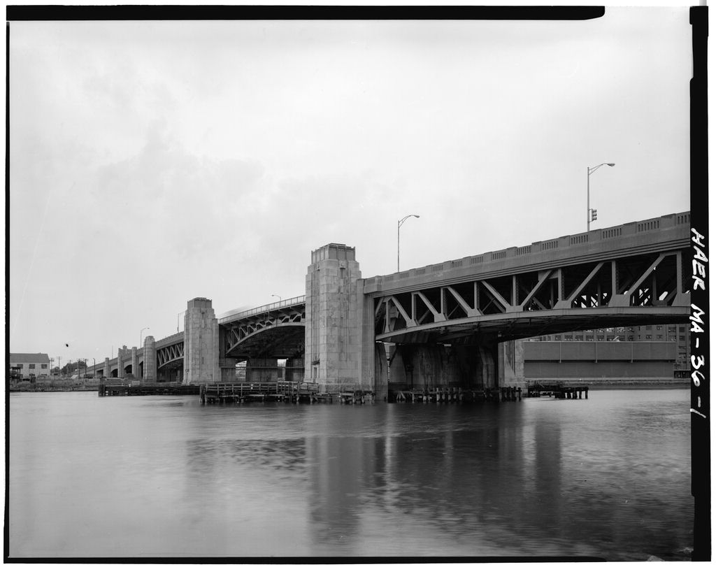
Fore River Bridge, Route 3A, spanning Fore River, Weymouth

Fore River Bridge, Route 3A, spanning Fore River, Weymouth, Norfolk County, MA. Surveyed as HAER MASS,11-WEYMO,5-, with 1 photograph and a 238-word written history.

From the record

“The new bridge, with a total length of feet, and a 60 foot roadway, included a 175-foot draw span, of the double leaf rolling lift type, designed to open or close in one and a half minutes.”

Written record, HAER MASS,11-WEYMO,5- survey. Machine-read text.

surveyed by the federal HAER program as HAER MASS,11-WEYMO,5- · the record runs 238 words · one of 94 surveyed structures published for this county.
Sources: the survey record at the Library of Congress

Fore River Bridge, Route 3A, spanning Fore River, Weymouth, Norfolk County, MA, photograph filed with the federal survey

1 photograph from the federal survey record, Library of Congress.

Significance

159 words

Source document Quoted word for word from HAER MASS,11-WEYMO,5-. Not written, edited or summarised by this site.

Route 3A has been the main route to the South Shore, ever since the Hingham and Quincy Bridge and Turnpike Corporation was formed in A swing bridge was built here in but proved a bottleneck, both to shipping, with the shipyard upstream, and to exstensive South Shore traffic. The new bridge, with a total length of feet, and a 60 foot roadway, included a 175-foot draw span, of the double leaf rolling lift type, designed to open or close in one and a half minutes. It was designed and built by the Massachusetts Department of Public Works under the direction of George Delano, Chief Engineer, and George Harkness, Bridge Engineer.

Desmond and Lord were consulting architects responsible for the ornamental Art-Deco appearance of the pylons, which were faced in granite and trimmed with copper detailing. The bridge won an Honorable Mention in from the American Institute of Steel Engineers. Transmitted by: Dan Clement, Historical Information written by Peter Stott.

In context

Weymouth, Massachusetts The place record: every map, photograph and survey of this town.
Norfolk County, Massachusetts 278 topographic sheets across the county.
Library of Congress record The original filed report, and the sheets the survey produced. Those published here appear above.

Also surveyed in Weymouth

6 records

The federal surveyors worked through Weymouth building by building. These are the other structures they measured and filed a report on, longest report first.

SheetStructure SurveyReport
John S. Fogg Shoe Factory, photograph filed with the federal surveyJohn S. Fogg Shoe FactoryHAER MASS,11-WEYMO,4-459 words
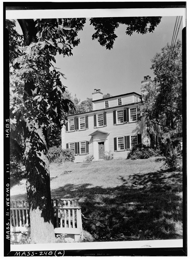
Captain William Wildes House, photograph filed with the federal surveyCaptain William Wildes HouseHABS MASS,11-WEYMO,1-445 words
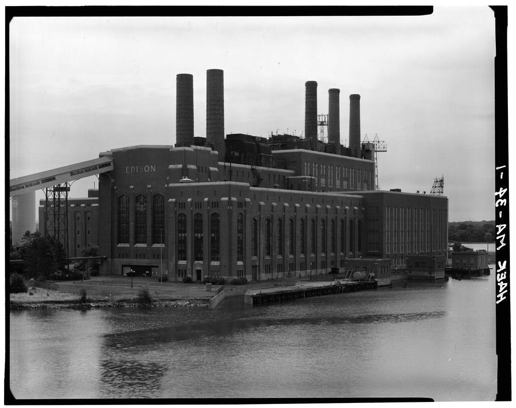
Edison Electric Illuminating Company, photograph filed with the federal surveyEdison Electric Illuminating CompanyHAER MASS,11-WEYMO,6-195 words
Bowditch EstateHABS MA-41891 words
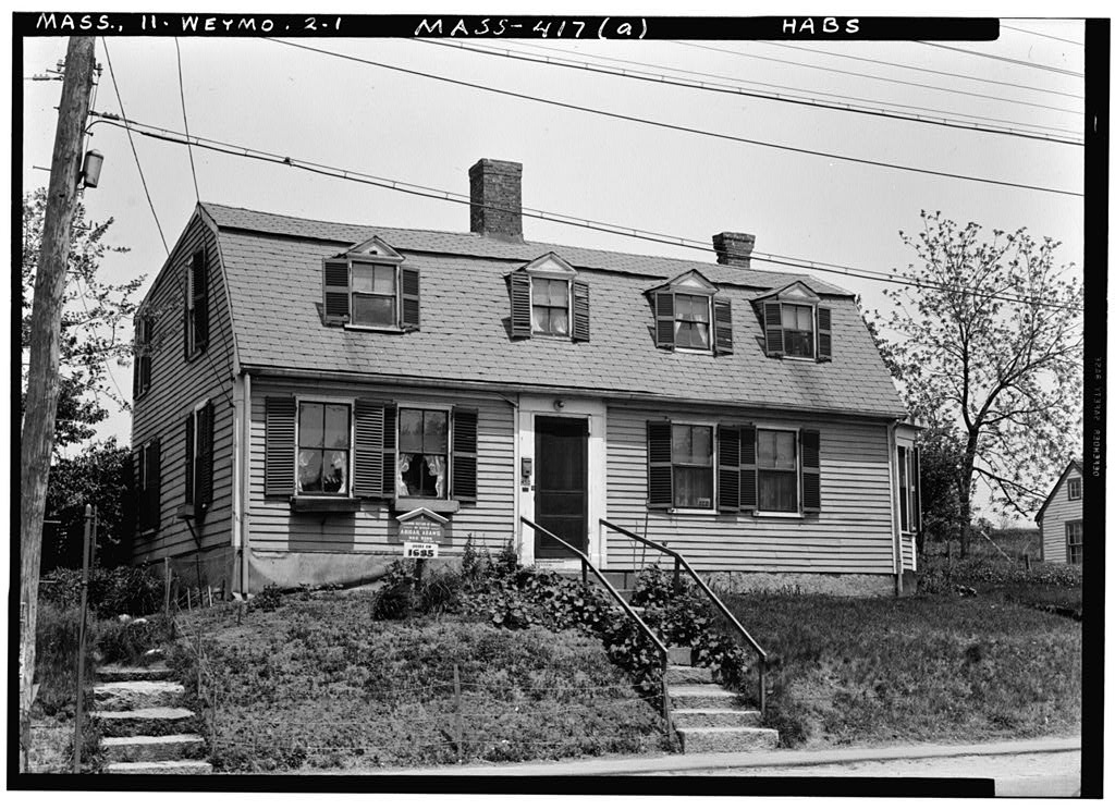
Abigail (Smith) Adams House, photograph filed with the federal surveyAbigail (Smith) Adams HouseHABS MASS,11-WEYMO,2-81 words
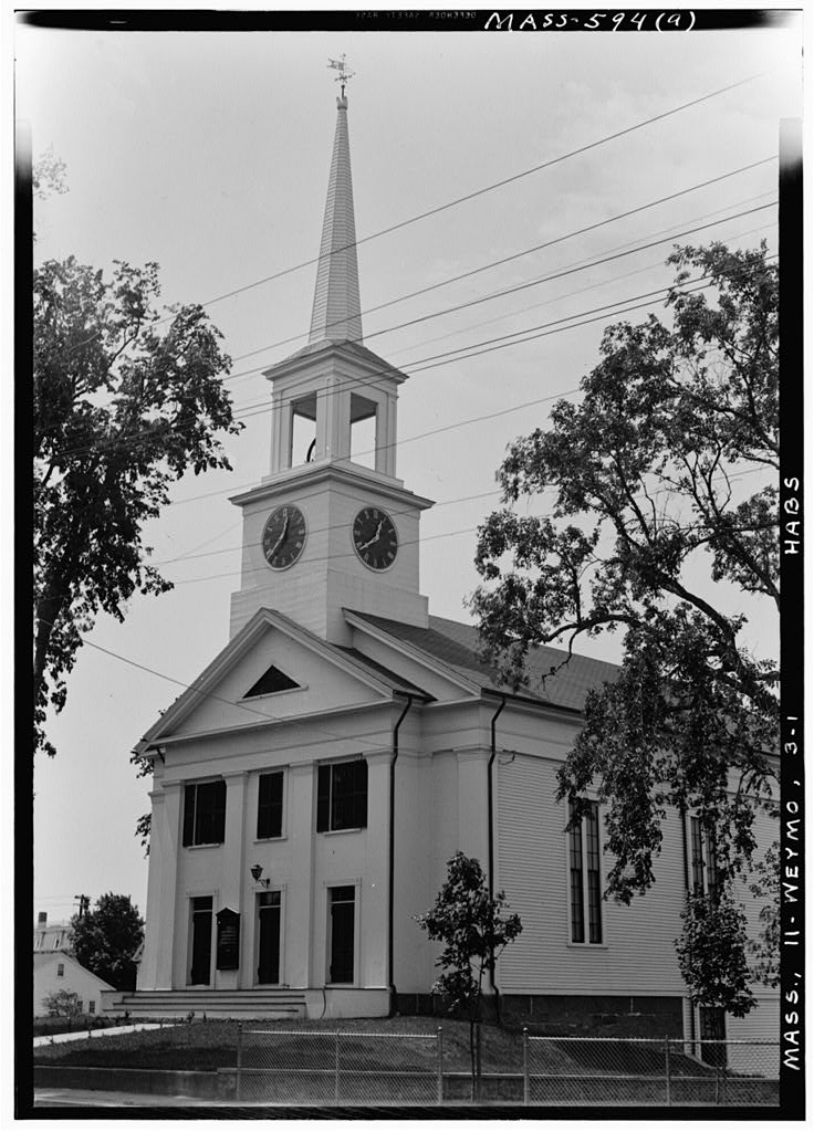
First Church, photograph filed with the federal surveyFirst ChurchHABS MASS,11-WEYMO,3-27 words

Provenance

  • Written history. Quoted verbatim from HAER MASS,11-WEYMO,5-. United States federal work, no copyright under 17 U.S.C. 105.
  • Text capture. Machine-read from the scanned typescript filed with the survey, so spelling and spacing follow the original page.
  • How this page is made. Documentary passages are quoted from linked records; page labels and counts are clearly marked as presentation or calculations.