 Block
Bartlebaugh, Tennessee
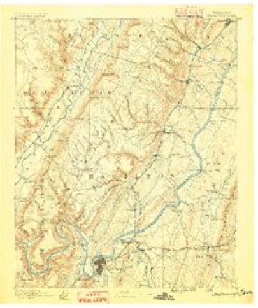
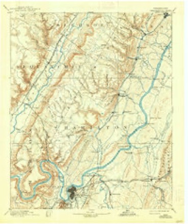
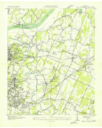
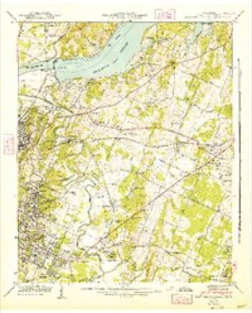
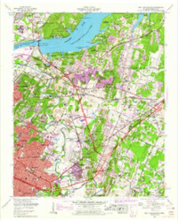
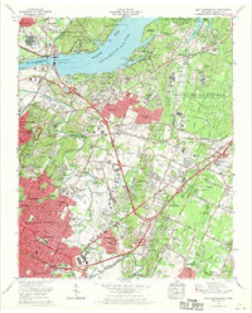
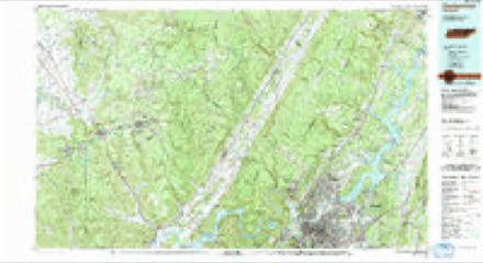
29 topographic sheets cover this place, the earliest surveyed in 1888 and the latest in 1988. It stands in District 9. It lies in ZIP code area 37416. The Survey maps it on the East Chattanooga quadrangle.
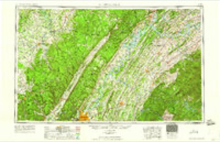
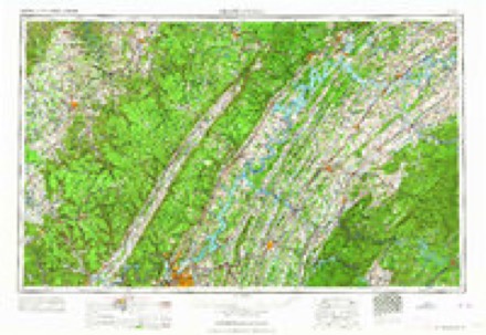
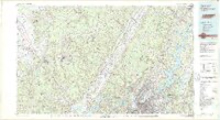
Topographic sheets covering this place
13 surveys from 29 printed sheetsMatched by testing this settlement's coordinate against the published boundary of every sheet in the United States Geological Survey's historical collection. Each opens the scanned sheet at the Survey.
- 1888 USGS Chattanooga quadrangle1:125000
- 1893 USGS Chattanooga quadrangle1:125000, 9 printings
- 1935 USGS East Chattanooga quadrangle1:24000
- 1942 USGS East Chattanooga quadrangle1:24000, 2 printings
- 1953 USGS Chattanooga quadrangle1:250000
- 1957 USGS Chattanooga quadrangle1:250000, 3 printings
- 1958 USGS East Chattanooga quadrangle1:24000, 2 printings
- 1959 USGS Chattanooga quadrangle1:250000
- 1960 USGS Chattanooga quadrangle1:250000
- 1964 USGS Chattanooga quadrangle1:250000
- 1969 USGS East Chattanooga quadrangle1:24000, 5 printings
- 1979 USGS Chattanooga quadrangle1:100000
- 1988 USGS Chattanooga quadrangle1:100000
Fires near this place
46 since 1997Regional context, not property-specific evidence. The federal wildfire occurrence database lists 46 fires within 5 miles of Bartlebaugh between 1997 and 2019, burning about 394 acres in total. 2 started naturally. 10 were recorded as arson. Distance is straight-line from the map coordinates, so a fire counted here may appear on a neighbouring settlement's page as well.
| Reported cause | Fires |
|---|---|
| Debris and open burning | 18 |
| Arson/incendiarism | 10 |
| Misuse of fire by a minor | 7 |
| Railroad operations and maintenance | 4 |
| Missing data/not specified/undetermined | 3 |
| Recreation and ceremony | 2 |
| Natural | 2 |
The most recent of them, most recent first, with the day each was reported and the service that recorded it.
| Date | Cause | Size | Reported by | Name on the report |
|---|---|---|---|---|
| 18 September 1998 | Misuse of fire by a minor | 10 acres | Tennessee Division of Forestry | not named |
| 7 August 1999 | Arson/incendiarism | 2.0 acres | Tennessee Division of Forestry | not named |
| 4 August 1999 | Debris and open burning | 2.0 acres | Tennessee Division of Forestry | not named |
| 22 August 1999 | Railroad operations and maintenance | 3.0 acres | Tennessee Division of Forestry | not named |
| 20 August 2007 | Railroad operations and maintenance | 4.0 acres | Tennessee Division of Forestry | OLD CLEVELAND PK |
| 8 July 2000 | Misuse of fire by a minor | 2.0 acres | Tennessee Division of Forestry | not named |
| 3 July 2000 | Missing data/not specified/undetermined | 1.0 acres | Tennessee Division of Forestry | not named |
| 9 June 2007 | Natural | 31 acres | Tennessee Division of Forestry | OOLTEWAH GTOWN RD |
Settlements close enough to share some of these fires:
Mines and quarries near this place
7 within 5 milesRegional context, not property-specific evidence. The federal mineral resources record lists 7 workings within 5 miles of Bartlebaugh: 3 prospects, 2 producers, 2 past producers. 2 still produce. What was taken out: Aluminum, Stone, Crushed/Broken, Limestone, General, Stone, Crushed/Broken. Distance is straight-line from the map coordinates, so a quarry counted here may appear on a neighbouring settlement's page as well.
| Where | Site | Commodity | Status | Recorded |
|---|---|---|---|---|
| Chattanooga Quarry | Stone, Crushed/Broken, Limestone, General | Producer | Limestone | |
| Chattanooga Quarry | Stone, Crushed/Broken | Producer | ||
| Chattanooga Tenn. Bauxite | Aluminum | Past Producer | 1904, 1907 | |
| Fred Nixson Prospect | Aluminum | Prospect | ||
| Hixson Mine | Aluminum | Past Producer | ||
| Smith Prospect | Aluminum | Prospect | ||
| Willie Moore Prospect | Aluminum | Prospect |
Storms near this place
2 since 2012Regional context, not property-specific evidence. The National Weather Service names Bartlebaugh in 2 storm reports in 2012: 1 tornado, 1 thunderstorm wind. The reports record 2 deaths and 30 injuries. Each account below is quoted exactly as the forecast office filed it, from the NOAA Storm Events Database, and each date opens the federal record of that event.
| When | Event | Place named | Harm | What the report says |
|---|---|---|---|---|
| July 2012 | Thunderstorm Wind | Bartlebaugh | 2 killed | A houseboat capsized on Chickamauga Lake north of Chattanooga. A two year old female toddler and her grandmother were trapped under the boat when it capsized resulting in their deaths. |
| March 2012 | Tornado (EF3) | Bartlebaugh | 30 hurt, $28,000,000 | Harrison Tornado--Segment #1. This tornado was the strongest of the day in the southeastern U.S.--rated a strong EF3 with 165 MPH maximum winds. The tornado formed on a northward-extending peninsula in Lake Chickamauga, just north of the Booker T. Washington State Park. At this point, the tornado downed a few trees and caused some light structural damage. ||The tornado then moved ENE and crossed Waconga Bay. On the east side of the bay the tornado smashed a very large marina--Island Cove Marina--causing $6,000,000 in damage. The tornado was a strong EF1 with about 110 mph winds. The tornado track so far was about 2 miles long.||The tornado continued to strengthen as it went on land, crossed State Highway 58 and quickly strengthed to EF2. Over the next two miles the path was a consistent EF2 to EF3 through several neighborhoods. The worst damage was found along Short Tail Springs Road, Woodland Bay Drive and Davis Mill Circle. The most intense damage was found near the intersection of Short Tail Springs Road and Woodland Bay Drive where many residences suffered EF3 damage with one residence wiped out. Across, to the south of Short Tail Springs Road, an entire forest of trees was downed. ||By the time the tornado left this neighborhood it was mainly EF2, went across another couple of inlets of the lake, and emerged as an EF1 by the time it crossed Ooltewah-Georgetown Rd, (CR 1145). From here to the Bradley County line, the tornado continued to the ENE through rural areas oscillating between EF1 and low-end EF2 damage. The tornado continued into and across Bradley, northern Polk County, and into southern McMinn County. The total pathlength was 41 miles.||In Hamilton County, there were 30 injuries, including 6 serious injuries, but no fatalities. There were 80+ homes destroyed, 85+ homes with major damage with a total of 260+ with damage to about $20 Million. Damage to public infrastructure totaled $2.1 Million. Initial overall estimates exceeded $28 Million.||A Presidential Disaster was declared for this area. EMA officials were amazed there were no deaths after seeing the intensity at some locations.||Note: The tornado had two turns in Hamilton County--a slight left turn at 35.1367/-85.1121 and another slight left turn (even farther left) at 35.1585/-85.0352. |
Nearest settlements
The eight closest, with where each one stands in the county. Distances are straight-line, computed from the Geographic Names Information System coordinates.
| Map | Place | Distance | Sheets |
|---|---|---|---|
| Theresa Heights | 0.2 miles | 29 | |
| Lakeshor Manor | 0.3 miles | 29 | |
| Bayview | 0.4 miles | 29 | |
| Turkeyfoot | 0.7 miles | 29 | |
| Bartlebaugh Subdivision | 0.7 miles | 27 | |
| Lakeshore Estates | 0.7 miles | 29 | |
| Harbour Woods | 0.8 miles | 29 | |
| Logan Heights | 1.0 miles | 29 |
Elsewhere
Matched on this settlement's Geographic Names Information System number rather than its name, so it cannot be a different place of the same name in another state.
| Wikidata item Q122595899 | The structured record the population and elevation above come from. Public domain (CC0). |
Provenance
This settlement is recorded in the Geographic Names Information System as feature 1276398. The sheet list is computed by point-in-boundary test against the United States Geological Survey's historical topographic inventory. Both are works of the United States government and carry no copyright under 17 U.S.C. 105.
Wildfire. Short, Karen C. 2022. Spatial wildfire occurrence data for the United States, 1992-2020 [FPA_FOD_20221014]. 6th Edition. Fort Collins, CO: Forest Service Research Data Archive. https://doi.org/10.2737/RDS-2013-0009.6 Collected with United States Government funding and usable without additional permissions or fees.
Mines and quarries. USGS Mineral Resources Data System (MRDS) https://mrdata.usgs.gov/mrds/ A work of the United States government, no copyright under 17 U.S.C. 105.
Storms. NOAA National Centers for Environmental Information, Storm Events Database https://www.ncei.noaa.gov/stormevents/ A work of the United States government, no copyright under 17 U.S.C. 105. Narratives are quoted verbatim from the National Weather Service report and are not edited or summarised.