 Block
Norton Creek Ranch, Tennessee
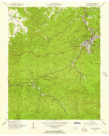
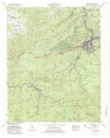
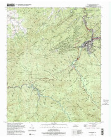
27 topographic sheets cover this place, the earliest surveyed in 1886 and the latest in 2000. It stands in District 11. It lies in ZIP code area 37738. It lies near Joe Hollow. The Survey maps it on the Gatlinburg quadrangle.
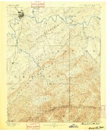
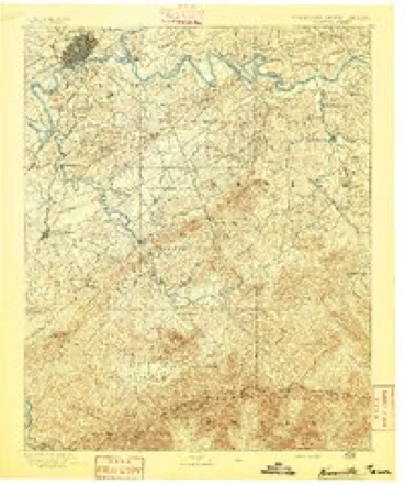
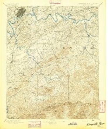
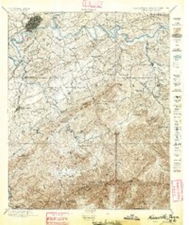
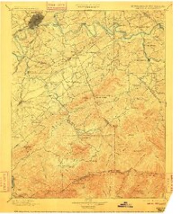
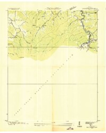
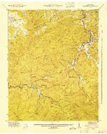
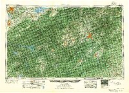
Topographic sheets covering this place
15 surveys from 27 printed sheetsMatched by testing this settlement's coordinate against the published boundary of every sheet in the United States Geological Survey's historical collection. Each opens the scanned sheet at the Survey.
- 1886 USGS Knoxville quadrangle1:125000
- 1892 USGS Knoxville quadrangle1:125000
- 1894 USGS Knoxville quadrangle1:125000
- 1895 USGS Knoxville quadrangle1:125000, 2 printings
- 1901 USGS Knoxville quadrangle1:125000, 5 printings
- 1936 USGS Gatlinburg quadrangle1:24000
- 1943 USGS Gatlinburg quadrangle1:24000
- 1955 USGS Knoxville quadrangle1:250000
- 1956 USGS Gatlinburg quadrangle1:24000, 2 printings
- 1957 USGS Knoxville quadrangle1:250000, 4 printings
- 1960 USGS Knoxville quadrangle1:250000, 2 printings
- 1964 USGS Knoxville quadrangle1:250000
- 1979 USGS Gatlinburg quadrangle1:24000, 3 printings
- 1983 USGS Knoxville quadrangle1:100000
- 2000 USGS Gatlinburg quadrangle1:24000
Fires near this place
144 since 1994Regional context, not property-specific evidence. The federal wildfire occurrence database lists 144 fires within 5 miles of Norton Creek Ranch between 1994 and 2020, burning about 1,824 acres in total. 15 started naturally. 20 were recorded as arson. Distance is straight-line from the map coordinates, so a fire counted here may appear on a neighbouring settlement's page as well.
| Reported cause | Fires |
|---|---|
| Debris and open burning | 48 |
| Missing data/not specified/undetermined | 25 |
| Arson/incendiarism | 20 |
| Natural | 15 |
| Power generation/transmission/distribution | 12 |
| Fireworks | 6 |
| Smoking | 5 |
| Recreation and ceremony | 5 |
| Other causes | 5 |
| Equipment and vehicle use | 3 |
The most recent of them, most recent first, with the day each was reported and the service that recorded it.
| Date | Cause | Size | Reported by | Name on the report |
|---|---|---|---|---|
| 8 September 2007 | Power generation/transmission/distribution | under an acre | Great Smoky Mountains National Park | ELKMONT |
| 4 September 2017 | Natural | under an acre | Great Smoky Mountains National Park | CATARACT |
| 4 September 1999 | Debris and open burning | 1.0 acres | Tennessee Division of Forestry | not named |
| 25 September 2007 | Other causes | 1.0 acres | Tennessee Division of Forestry | HATCHER MTN |
| 24 September 2016 | Other causes | 3.5 acres | Tennessee Division of Forestry | MOCKINGBIRD |
| 24 September 2005 | Debris and open burning | 1.0 acres | Great Smoky Mountains National Park | EAST END |
| 22 September 2016 | Debris and open burning | 4.0 acres | Tennessee Division of Forestry | ROUNDTOP LN |
| 15 September 2005 | Debris and open burning | 1.0 acres | Tennessee Division of Forestry | not named |
Settlements close enough to share some of these fires:
Mines and quarries near this place
5 within 5 milesRegional context, not property-specific evidence. The federal mineral resources record lists 5 workings within 5 miles of Norton Creek Ranch: 5 past producers. None of them still produces. What was taken out: Limestone, Dimension, Stone, Dimension, Sand and Gravel, Construction. Distance is straight-line from the map coordinates, so a quarry counted here may appear on a neighbouring settlement's page as well.
Nearest settlements
The eight closest, with where each one stands in the county. Distances are straight-line, computed from the Geographic Names Information System coordinates.
| Map | Place | Distance | Sheets |
|---|---|---|---|
| Starkeytown | 1.1 miles | 27 | |
| Chalet Village | 1.8 miles | 27 | |
| Hatchertown | 3.1 miles | 24 | |
| Greystone Heights | 3.2 miles | 27 | |
| Little Cove | 3.3 miles | 25 | |
| Gatlinburg | 3.5 miles | 27 | |
| Cove Creek Cascades | 4.0 miles | 25 | |
| Greenbrier | 4.0 miles | 24 |
Elsewhere
Matched on this settlement's Geographic Names Information System number rather than its name, so it cannot be a different place of the same name in another state.
| Wikidata item Q122551403 | The structured record the population and elevation above come from. Public domain (CC0). |
Provenance
This settlement is recorded in the Geographic Names Information System as feature 1313002. The sheet list is computed by point-in-boundary test against the United States Geological Survey's historical topographic inventory. Both are works of the United States government and carry no copyright under 17 U.S.C. 105.
Wildfire. Short, Karen C. 2022. Spatial wildfire occurrence data for the United States, 1992-2020 [FPA_FOD_20221014]. 6th Edition. Fort Collins, CO: Forest Service Research Data Archive. https://doi.org/10.2737/RDS-2013-0009.6 Collected with United States Government funding and usable without additional permissions or fees.
Mines and quarries. USGS Mineral Resources Data System (MRDS) https://mrdata.usgs.gov/mrds/ A work of the United States government, no copyright under 17 U.S.C. 105.