 Block
BlockFrom the record
3 National Register listings published here.
Sources: the National Register database, National Park Service
57 topographic sheets and 2 fire insurance atlases across 1 place.
3 National Register listings published here.
Sources: the National Register database, National Park Service
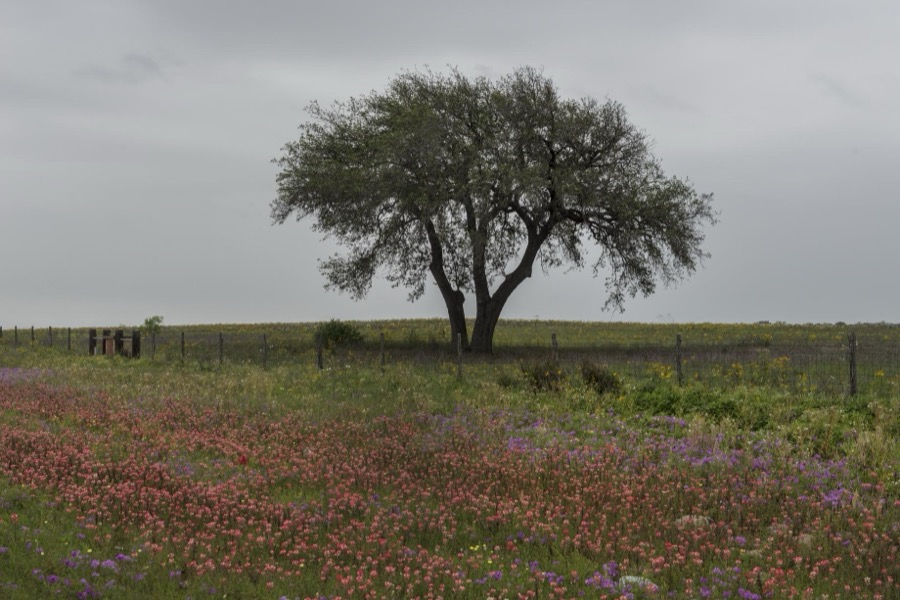
Taken for the Office of War Information and the Farm Security Administration, who photographed the country between 1935 and 1944. Works of United States government photographers, with no known restriction on use. Each opens its catalogue record.








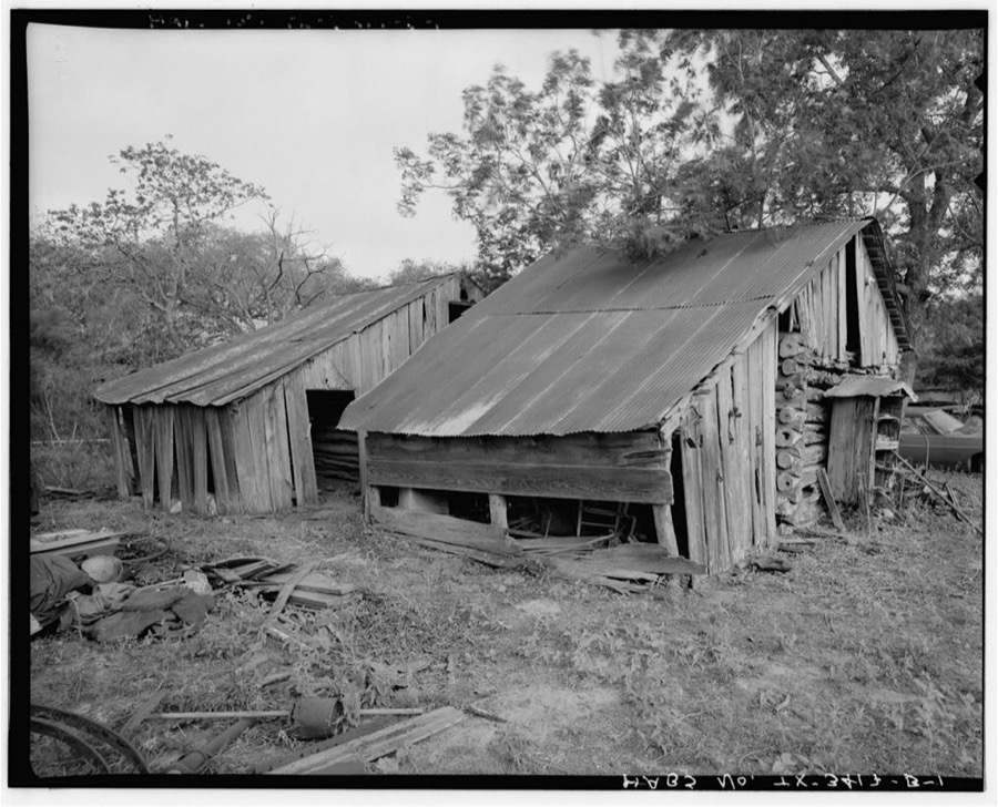
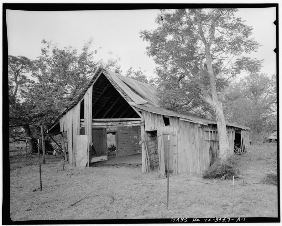
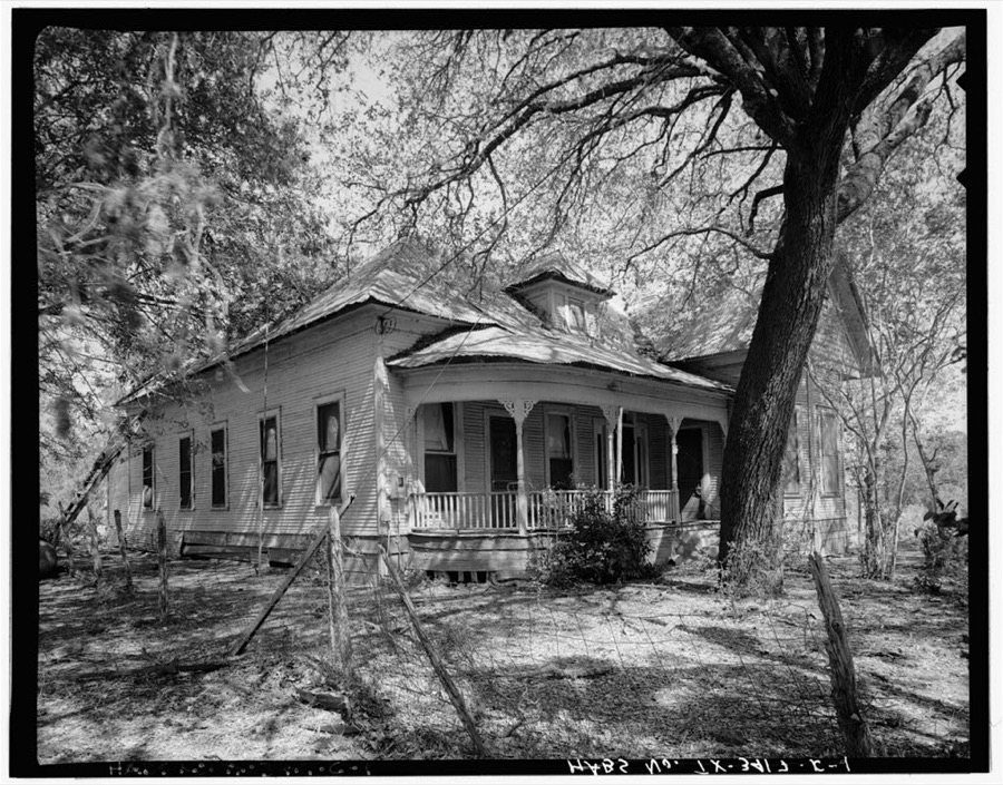

Every property in this county listed on the National Register of Historic Places, with the year it was listed and the federal nomination document.
| Photograph | Property | Type | Listed | Reference |
|---|---|---|---|---|
 | Atascosa County Courthouse | building | 1997 | 97001598 |
| Korus Farmstead | building | 1998 | 98000876 | |
 | Frederick and Sallie Lyons House | building | 2001 | 01000061 |
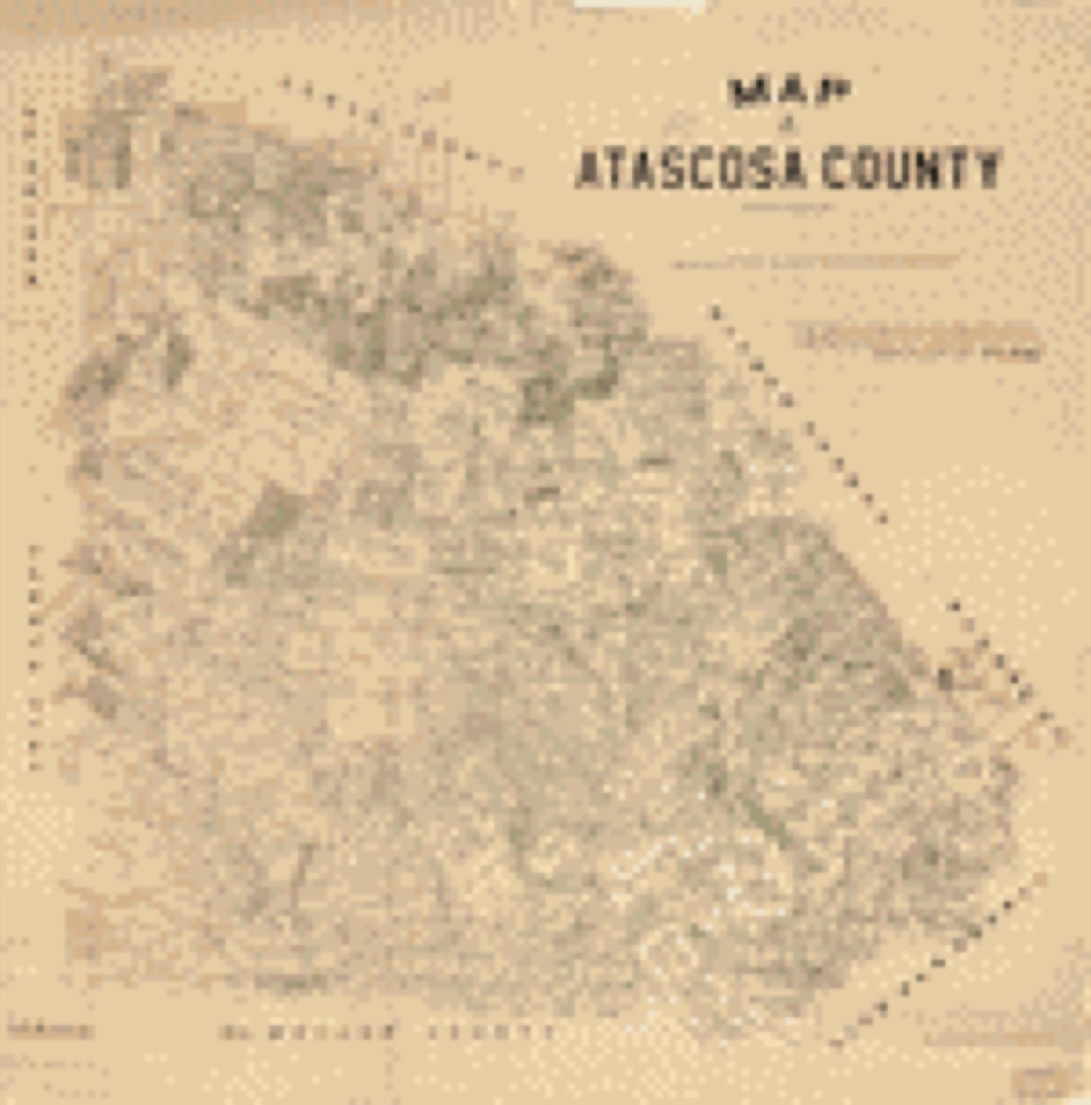
Drawn when these were printed as single large sheets: the town seen from the air, and the county divided into its farms with every owner named. Each opens the original at the Library of Congress.

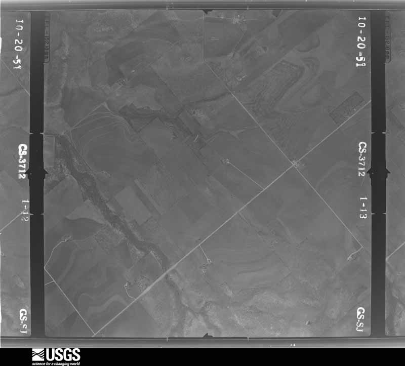
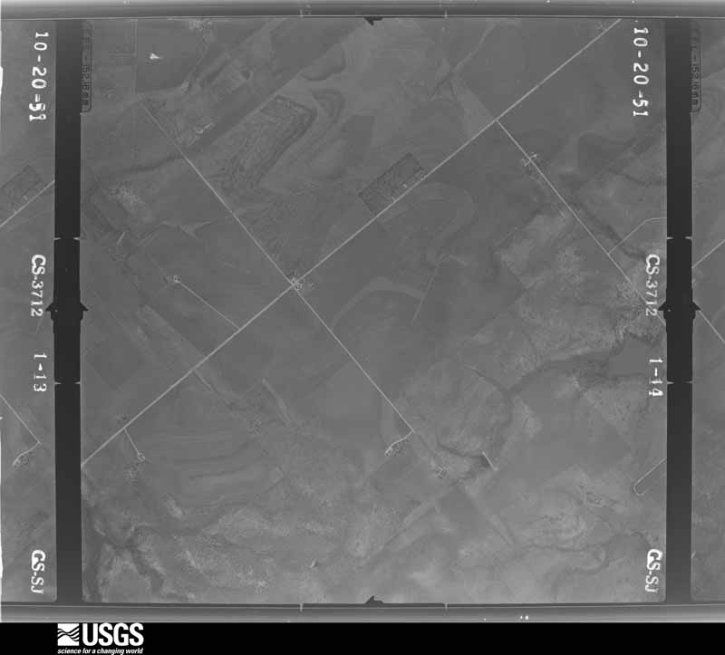
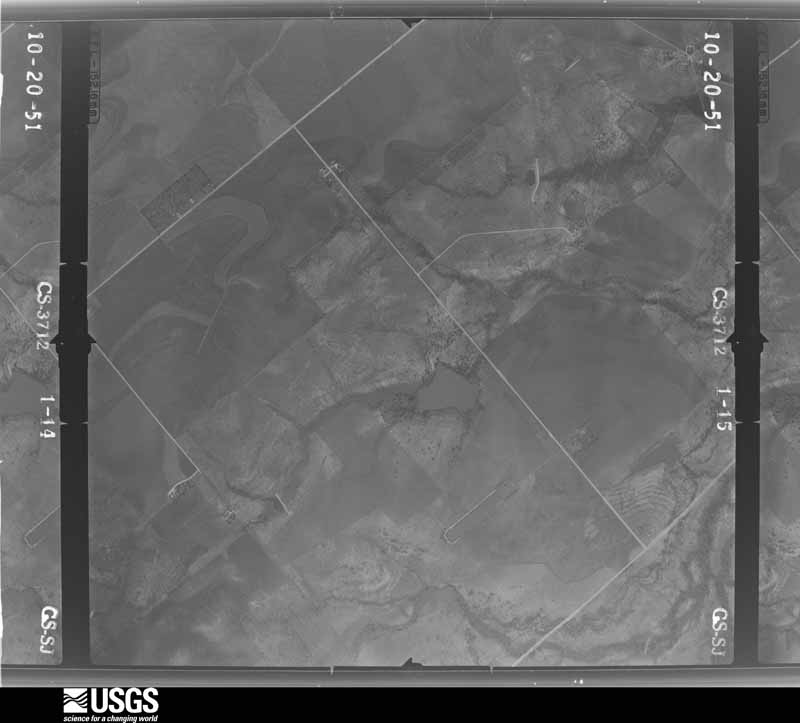
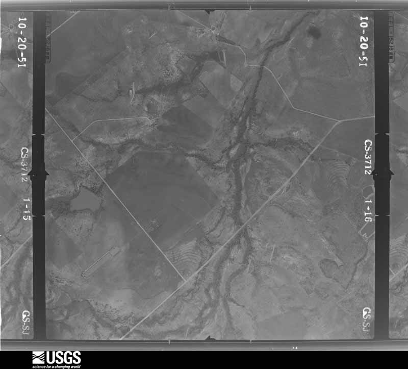
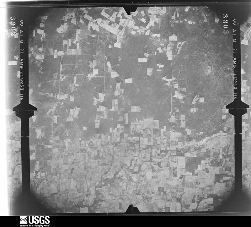
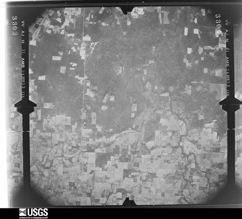
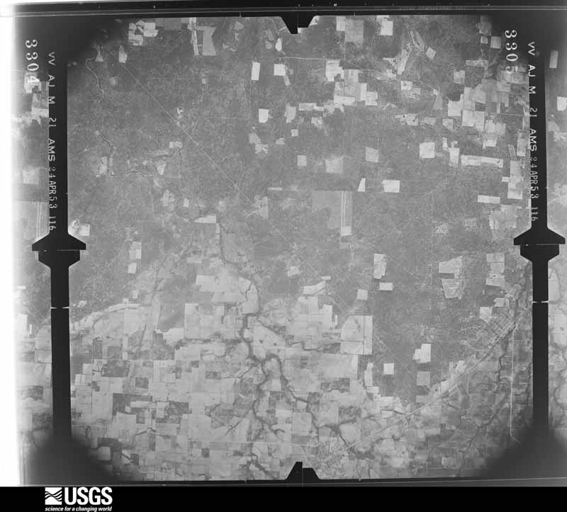
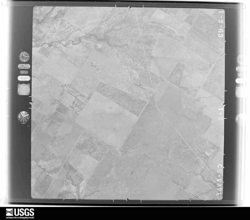
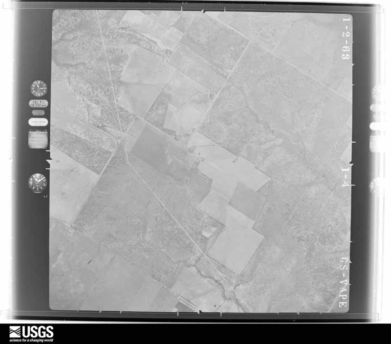
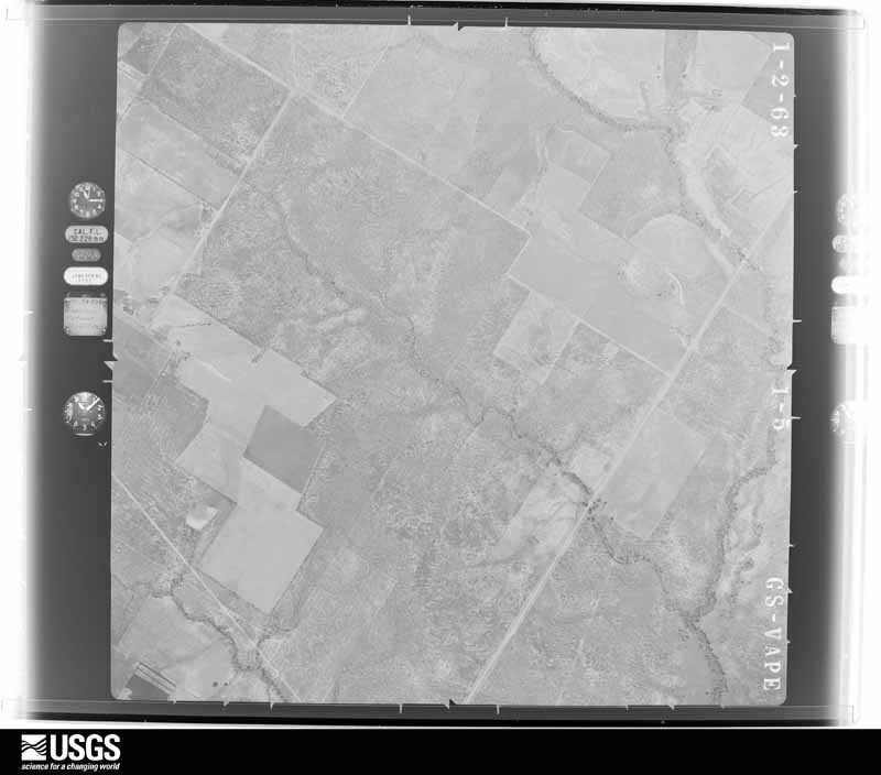
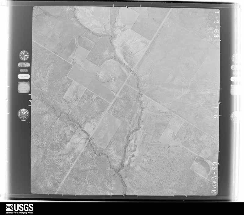
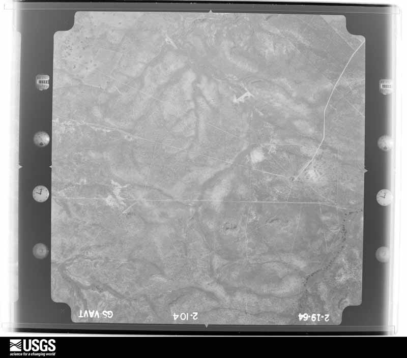
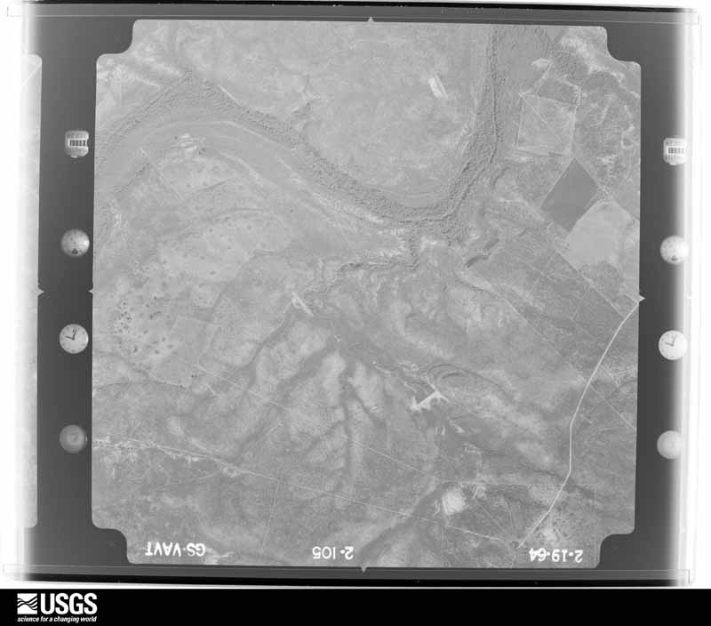
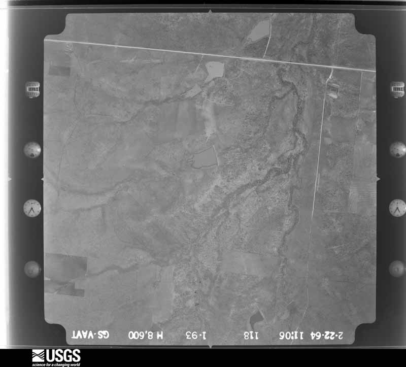
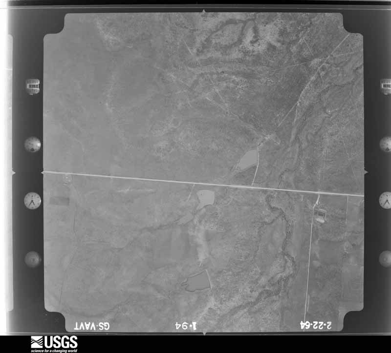
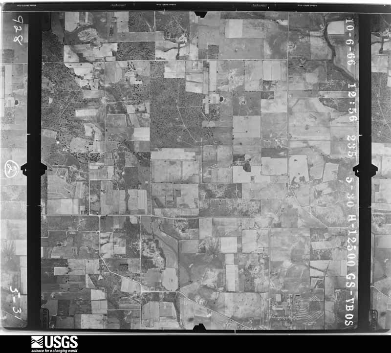
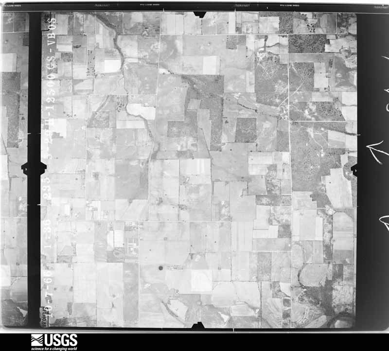
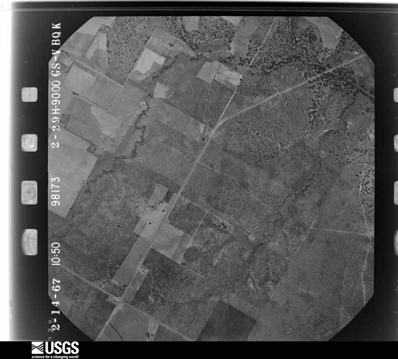
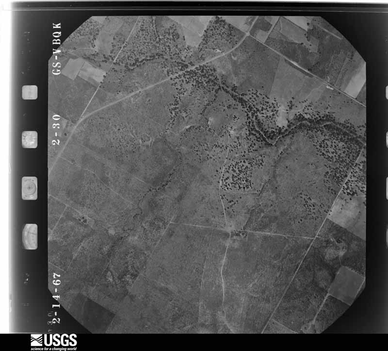
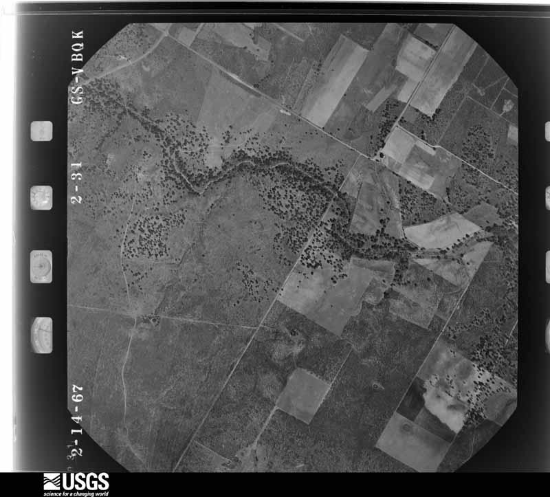
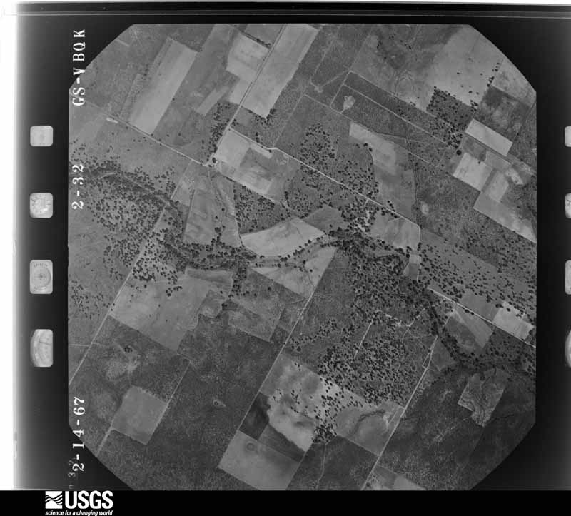
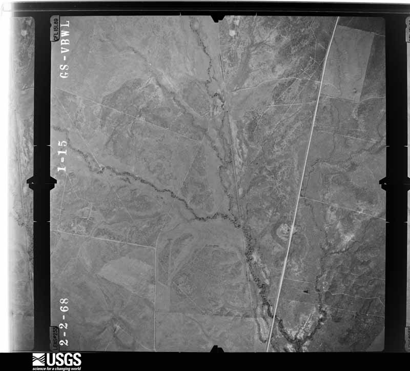
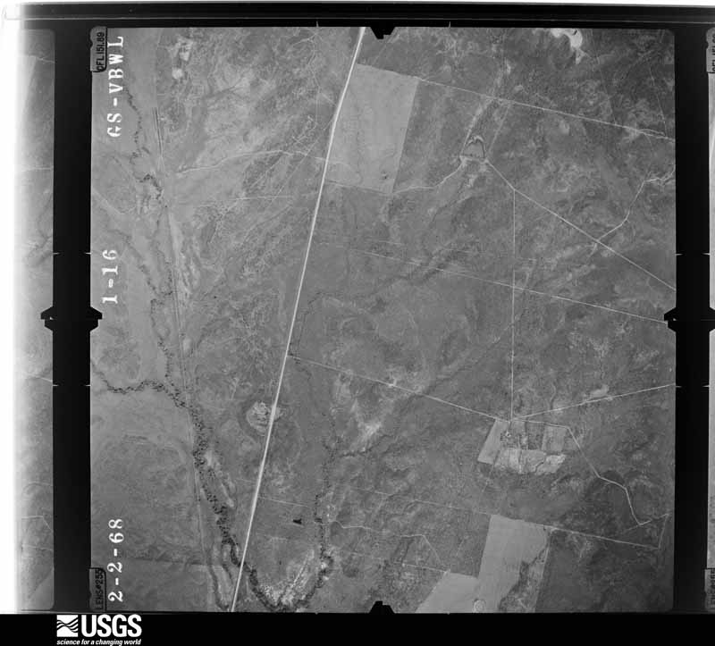
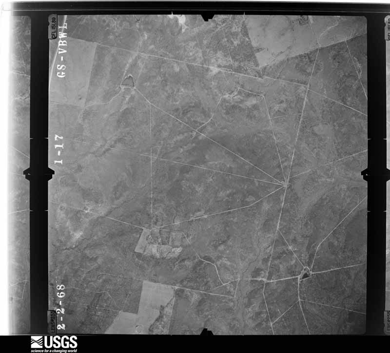
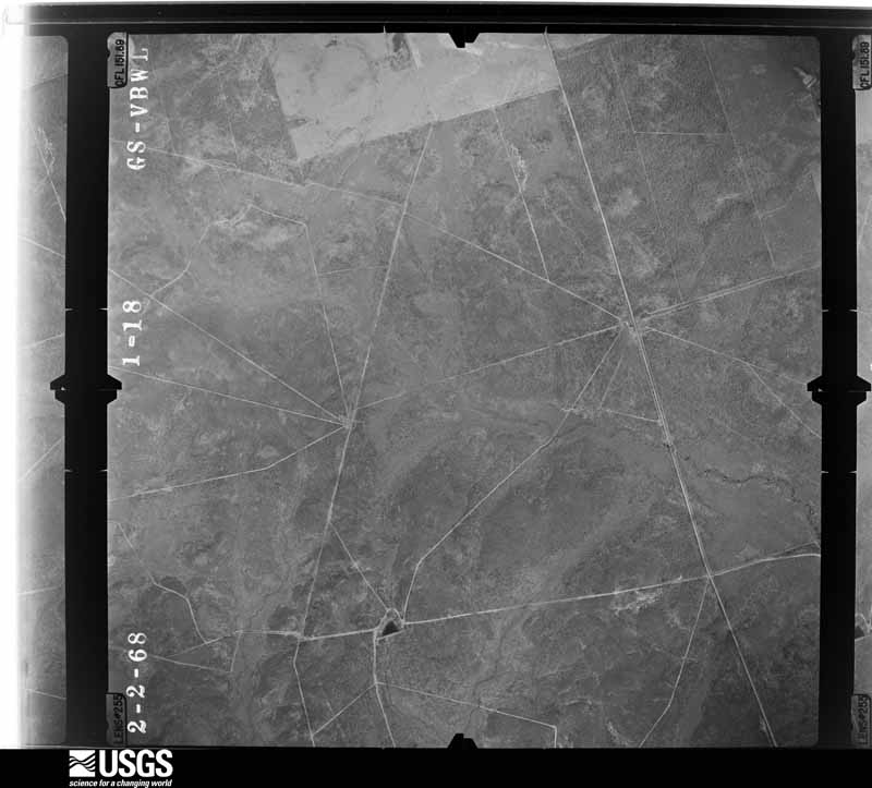
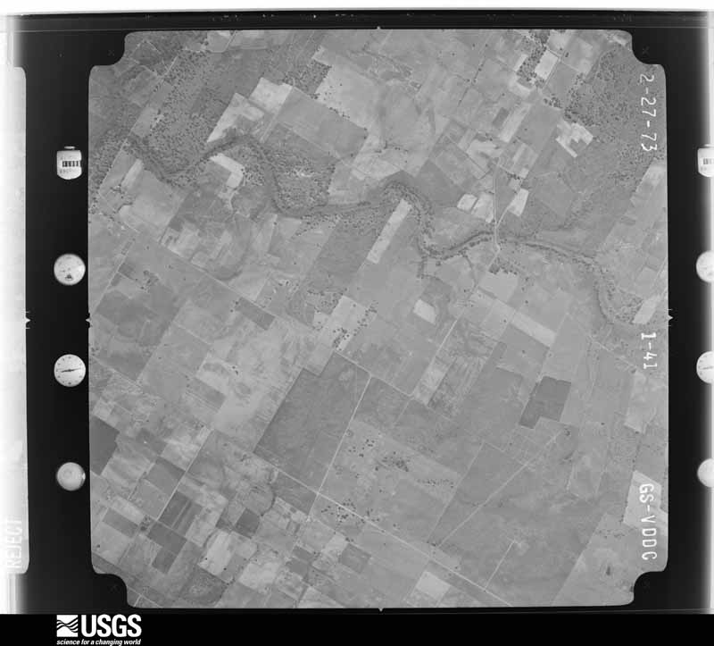
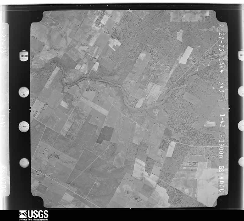
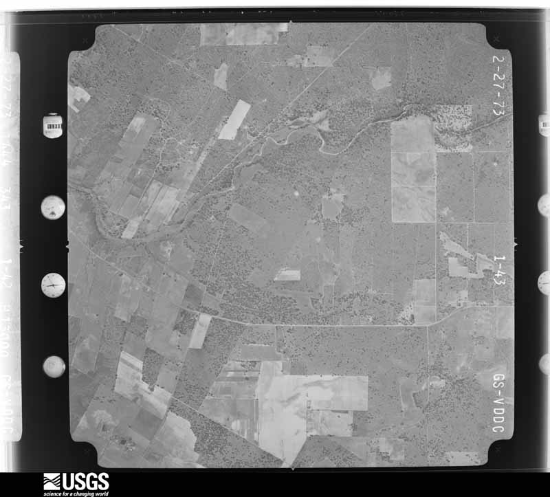
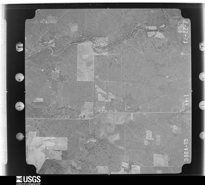
Flown by the U.S. Geological Survey between 1937 and 1989, the Aerial Photo Single Frames collection is the definitive mid-century view of the land: fields, roads and rivers as the camera saw them. The Survey holds 1,736 frames inside the rectangle that bounds this county; the 34 frames below were taken over the county itself, chosen across the decades of flights (at most four a year from that rectangle), so one flight cannot crowd out the rest. The full set is free to browse and download at EarthExplorer under the dataset Aerial Photo Single Frames.





The thermometers that kept this county's weather, and the gages that measured the flow of its streams, as the federal records hold them. The extremes below are measured values from those records, not estimates.
Who lived here in 1950, one enumeration district at a time, as the Census Bureau described each district. Each row opens its official National Archives result, with Population Schedules and ED Maps available there.
Every wildfire the federal occurrence database records inside this county: 1,827 of them, burning about 23,344 acres. 17 started naturally and 32 were recorded as arson. Each settlement page carries the fires within five miles of it.
| Reported cause | Fires |
|---|---|
| Debris and open burning | 690 |
| Missing data/not specified/undetermined | 616 |
| Equipment and vehicle use | 297 |
| Smoking | 92 |
| Power generation/transmission/distribution | 53 |
| Arson/incendiarism | 32 |
| Natural | 17 |
| Recreation and ceremony | 16 |
| Misuse of fire by a minor | 14 |
The five largest, by the area the report gives. One of them was set deliberately.
| Date | Cause | Size | Reported by | Name on the report |
|---|---|---|---|---|
| 9 March 2006 | Missing data/not specified/undetermined | 1,085 acres | Texas A & M Forest Service | ATASCOSA COMPLEX |
| 20 April 2006 | Arson/incendiarism | 800 acres | Texas A & M Forest Service | not named |
| 31 January 2008 | Debris and open burning | 500 acres | Texas A & M Forest Service | not named |
| 5 February 2008 | Missing data/not specified/undetermined | 500 acres | Texas A & M Forest Service | not named |
| 1 January 2008 | Missing data/not specified/undetermined | 500 acres | Texas A & M Forest Service | not named |
| 31 January 2008 | Debris and open burning | 425 acres | Texas A & M Forest Service | not named |
| 9 March 2006 | Equipment and vehicle use | 400 acres | Texas A & M Forest Service | not named |
| 20 April 2006 | Missing data/not specified/undetermined | 400 acres | Texas A & M Forest Service | not named |
Every settlement page carries the fires within five miles of it - see the settlement index below.
The NOAA Storm Events Database holds 278 reports for this county, causing no deaths, 2 injuries and about $3,227,950 in recorded property damage. Each settlement page carries the reports that name it.
| Kind of event | Reports |
|---|---|
| Hail | 109 |
| Flash Flood | 76 |
| Thunderstorm Wind | 75 |
| Tornado | 16 |
| Funnel Cloud | 1 |
| Lightning | 1 |
The most serious of them, by death, then injury, then recorded damage. The accounts are quoted exactly as the forecast office filed them.
| When | Event | Place named | Harm | What the report says |
|---|---|---|---|---|
| August 1996 | Thunderstorm Wind | Campbellton | 1 hurt, $30,000 | no account filed |
| May 1972 | Tornado (F1) | not stated | 1 hurt, $2,500 | no account filed |
| March 2002 | Thunderstorm Wind | Lytle | $500,000 | Severe winds in the Lytle area damaged or destroyed three mobile homes, while blowing over trees, limbs, road signs, and damaging roofs in the area. |
| March 2008 | Thunderstorm Wind | Jourdanton | $250,000 | A National Weather Service storm survey concluded that a microburst caused numerous trees down near downtown Jourdanton. Trees were down along Maple, Cedar, Main streets, along with other side roads near the courthouse. A lawn furniture manufacturing plant near the corner of Zanderson and maple was demolished with roof pieces being thrown several blocks away. There was other minor roof damage observed to a bail bonds business across the street from the Sheriff's office near the intersection of Oak Street and Campbell Avenue. |
| May 1980 | Tornado (F1) | not stated | $250,000 | no account filed |
| July 2008 | Lightning | Verdi | $150,000 | Lightning struck a house on County Road 209 in the Serbin area. The house was struck around 1 pm while the residents were away. The house was destroyed. |
| April 2004 | Thunderstorm Wind | Pleasanton | $100,000 | Severe thunderstorm winds overturned mobile homes and damaged roofs at Charlotte and blew over trees near Christine. |
| June 2003 | Thunderstorm Wind | Countywide | $100,000 | Spotty damage was seen across northern Atascosa County during an NWS survey. The most significant damage was across the western part of the county. In Pleasanton, only minor damage to tree branches was noted, but in Jourdanton, severe thunderstorm winds took parts of a roof off a restaurant at the intersection of SH16 and FM97. The Atascosa County Sheriff's Department had received reports of strong wind damage along Ogden Road west of Jourdanton. One rancher reported over 90 trees knocked over by the wind. Damage to large tree limbs was indicated along FM97 west of Jourdanton and along FM1333 north of Charlotte. All this damage appeared to have been caused by severe thunderstorm winds. |
| September 2002 | Flash Flood | Countywide | $100,000 | General 2 to 3 inch rainfall was indicated across the county with amounts averaging 5 inches along and south of a line along FM140 from the Frio County line to near Charlotte. Parts of this area received up to 11 inches of rain. Considerable damage was reported along FM140. |
| April 2002 | Hail | Pleasanton | $100,000 | Hail up to the size of tennis balls, driven by winds of 40 to 50 mph, damaged windows of homes and cars in the Pleasanton area. |
| November 2001 | Flash Flood | Southeast Portion | $80,000 | A general 2 to 3 inch rain fell over the southern portion of Atascosa County, with as much as 5 inches southeast of Cambellton. Widespread flash flooding developed over the southern part of the county, ending around midnight. Considerable damage was reported to roads and bridges in the southeast corner of Atascosa County. |
| March 1998 | Thunderstorm Wind | Charlotte | $80,000 | A severe thunderstorm damaged several small sheds and took roofs off homes in the Charlotte area. |
| September 1997 | Thunderstorm Wind | Poteet | $80,000 | no account filed |
| April 2007 | Thunderstorm Wind | Poteet | $75,000 | A severe thunderstorm struck Atascosa County with wind gusts estimated near 70 knots, damaging and rolling a mobile home and blowing down trees just northwest of Poteet. |
| July 2003 | Flash Flood | Countywide | $50,000 | Claudette produced heavy rain over Atascosa County in the late afternoon and early evening, with general accumulations of 1 to 2 inches and isolated totals over the southern part of the county of up to 6 inches. |
| April 2002 | Flash Flood | North Portion | $50,000 | Rainfall of up to 6 inches fell over the northwest part of Atascosa County in the late evening hours, causing flash flooding. Minor damage was indicated to roads and bridges over the northern part of the county, with more significant damage to crops in the north part of the county. |
| October 2002 | Flash Flood | Countywide | $50,000 | Showers and thunderstorms moved into Atascosa County from the west just before sunrise and continued until near noon. General rainfall amounts were between 1 and 2 inches, with widespread 3 inch amounts. Heaviest amounts were near 5 inches in the extreme northern part of the County. Damage was reported to be widespread over the roads and bridges in the northern part of the County. |
| May 2001 | Thunderstorm Wind | Campbellton | $50,000 | Severe thunderstorm winds blew the roof off several houses and blew down numerous trees. |
| February 1998 | Thunderstorm Wind | Lytle | $50,000 | Downburst winds blew over and destroyed a mobile home near Lytle. Also, hail propelled by the very high winds blew out windows of homes and cars in and around the Lytle area. |
| April 1997 | Flash Flood | Coughran | $50,000 | Roads were closed and under water, mainly over the western part of the county. |
| October 1993 | Thunderstorm Wind | Poteet | $50,000 | The Sheriff's Office reported several mobile homes damaged in Poteet. |
| June 1999 | Flash Flood | Pleasanton | $50,000 | no account filed |
| October 1998 | Flash Flood | Countywide | $50,000 | no account filed |
| February 1998 | Hail | Lytle | $50,000 | no account filed |
| June 2003 | Tornado (F0) | Poteet | $40,000 | The public reported that a short-lived and small tornado touched down west of Poteet shortly after the strong winds had begun. The tornado knocked over several trees, then lifted up and dissipated. |
| May 1999 | Thunderstorm Wind | Poteet | $40,000 | The Atascosa County Sheriff's Department reported power lines blown down by high winds just east of Poteet |
| May 1995 | Thunderstorm Wind | Pleasanton | $40,000 | A bow-shaped thunderstorm system moved rapidly through Atascosa County, producing large hail and damaging winds. Windows were blown out in Jourdanton by large hail, driven horizontally by strong winds. Trees and power lines were knocked down. Mobile homes were overturned near Charlotte. A barn was destroyed near Charlotte. One man asleep in his mobile home was blown into the closet as it was destroyed by the winds. He was not injured. A storage shed company was destroyed; one of the sheds was blown nearly two miles down the road. Also destroyed were a finance company and an aircraft maintenance company. Two mobile homes were destroyed and another dozen damaged in Pleasanton. |
| May 1995 | Thunderstorm Wind | Jourdanton | $40,000 | A bow-shaped thunderstorm system moved rapidly through Atascosa County, producing large hail and damaging winds. Windows were blown out in Jourdanton by large hail, driven horizontally by strong winds. Trees and power lines were knocked down. Mobile homes were overturned near Charlotte. A barn was destroyed near Charlotte. One man asleep in his mobile home was blown into the closet as it was destroyed by the winds. He was not injured. A storage shed company was destroyed; one of the sheds was blown nearly two miles down the road. Also destroyed were a finance company and an aircraft maintenance company. Two mobile homes were destroyed and another dozen damaged in Pleasanton. |
| May 1995 | Hail | Jourdanton | $40,000 | A bow-shaped thunderstorm system moved rapidly through Atascosa County, producing large hail and damaging winds. Windows were blown out in Jourdanton by large hail, driven horizontally by strong winds. Trees and power lines were knocked down. Mobile homes were overturned near Charlotte. A barn was destroyed near Charlotte. One man asleep in his mobile home was blown into the closet as it was destroyed by the winds. He was not injured. A storage shed company was destroyed; one of the sheds was blown nearly two miles down the road. Also destroyed were a finance company and an aircraft maintenance company. Two mobile homes were destroyed and another dozen damaged in Pleasanton. |
| June 2007 | Flash Flood | Lytle | $30,000 | Scattered to numerous thunderstorms across northern Atascosa, eastern Medina and western Bexar Counties produced rain totals of 2 to 3 inches. Highest totals in Atascosa County were 4 inches near Lytle and south of Campbellton. SH132, FM2790, FM140, and FM791 were closed due to high water, among other roads. Two people in a pickup were swept off FM463 in the late that evening. They abandoned the truck and clung to trees for nearly 2 hours until they were rescued. |
| June 2003 | Thunderstorm Wind | Poteet | $30,000 | The Atascosa Sheriff's Department reported that severe thunderstorm winds blew down trees near Poteet in the north central part of the county. |
| June 2003 | Tornado (F0) | Jourdanton | $30,000 | A small tornado struck just west of Jourdanton, knocking over trees and power lines. It was observed by a deputy sheriff as it moved nearly a quarter mile before dissipating. No other damage was indicated. |
| October 2002 | Flash Flood | North Portion | $30,000 | As an upper level low pressure area began to approach from the west on the night of October 8, scattered showers and thunderstorms began forming over Atascosa and Wilson Counties. They showed very slow movement toward the northeast. General 2 to 3 inch amounts fell across the northern part of Atascosa County, with isolated totals up to 5 inches. Flash flooding was reported over many of the county roads in the northern part of Atascosa County through the late night hours. |
| May 1997 | Thunderstorm Wind | Pleasanton | $30,000 | Severe winds blew over trees with some landing on automobiles and causing damage. |
| May 2001 | Hail | Campbellton | $30,000 | no account filed |
| August 2001 | Flash Flood | Countywide | $30,000 | no account filed |
| February 1998 | Tornado (F1) | Lytle | $25,000 | no account filed |
| September 1992 | Tornado (F1) | not stated | $25,000 | no account filed |
| June 2000 | Flash Flood | North Portion | $20,000 | Flash flooding developed in the mid morning across much of northern Atascosa County. The worst of the flooding was in the the Leming area, where several roads were closed due to accumulations of over 6 inches of rain. |
| May 1995 | Hail | Charlotte | $20,000 | A bow-shaped thunderstorm system moved rapidly through Atascosa County, producing large hail and damaging winds. Windows were blown out in Jourdanton by large hail, driven horizontally by strong winds. Trees and power lines were knocked down. Mobile homes were overturned near Charlotte. A barn was destroyed near Charlotte. One man asleep in his mobile home was blown into the closet as it was destroyed by the winds. He was not injured. A storage shed company was destroyed; one of the sheds was blown nearly two miles down the road. Also destroyed were a finance company and an aircraft maintenance company. Two mobile homes were destroyed and another dozen damaged in Pleasanton. |
| May 1995 | Thunderstorm Wind | Charlotte | $20,000 | A bow-shaped thunderstorm system moved rapidly through Atascosa County, producing large hail and damaging winds. Windows were blown out in Jourdanton by large hail, driven horizontally by strong winds. Trees and power lines were knocked down. Mobile homes were overturned near Charlotte. A barn was destroyed near Charlotte. One man asleep in his mobile home was blown into the closet as it was destroyed by the winds. He was not injured. A storage shed company was destroyed; one of the sheds was blown nearly two miles down the road. Also destroyed were a finance company and an aircraft maintenance company. Two mobile homes were destroyed and another dozen damaged in Pleasanton. |
| August 2001 | Flash Flood | North Portion | $20,000 | no account filed |
| September 2001 | Flash Flood | Countywide | $20,000 | no account filed |
| August 1998 | Flash Flood | Countywide | $20,000 | no account filed |
| February 1998 | Thunderstorm Wind | Poteet | $20,000 | no account filed |
| August 1996 | Flash Flood | Countywide | $20,000 | no account filed |
| May 2020 | Thunderstorm Wind | Christine | $10,000 | A thunderstorm produced wind gusts estimated at 80 mph that blew the roof off a house near Christine. Rain was pouring into the living room. |
| August 2008 | Flash Flood | Rossville | $10,000 | The emergency manager reported water in a few homes off of Highway 2504 and Garden Road. |
| September 2003 | Flash Flood | South Portion | $10,000 | After the soaking rains of September 1 and 2, soils over Atascosa, DeWitt and Lavaca Counties were generally saturated. As additional rainfall developed in the late morning of September 3, flash flooding developed very quickly and continued into the mid afternoon. This time the heaviest rainfall was over the southern parts of Atascosa and DeWitt Counties and over the western part of Lavaca County, where general 1 inch rainfall was reported with isolated totals to 3 inches in Atascosa and Lavaca Counties and 4 inches in DeWitt County. Flash flooding spread across all of the 3 counties. Damage was reported only to roads and bridges. |
| September 2003 | Flash Flood | Countywide | $10,000 | After several days of widespread general showers, soils were generally saturated across South Central Texas. On September 5, additional rainfall developed from the southern part of Bandera County across the Bexar and Atascosa Counties and into the western part of Wilson County. Repeated showers and thunderstorms produced general rainfall over county of around 1 inch, with isolated totals of up to 4 inches in the south part of the county. Damage was limited to roads and bridges. |
| November 2001 | Flash Flood | Southeast Portion | $10,000 | In addition to rainfall overnight, additional 1 to 2 inches across the county caused widespread flash flooding in the southeast corner of the county. The flash flooding was brief and the only damage was to unimproved roads. |
| May 2000 | Flash Flood | North Portion | $10,000 | Rainfall of up to 4 inches in around two hours caused widespread flooding over the northern part of Atascosa County. Many of the roads in Atascosa County were also closed. |
| June 1995 | Thunderstorm Wind | Lytle | $10,000 | Gusts estimated at over 55 knots with widespread damgage to trees. |
| November 2000 | Flash Flood | Southeast Portion | $10,000 | no account filed |
| August 1998 | Flash Flood | Countywide | $10,000 | no account filed |
| August 1996 | Thunderstorm Wind | Poteet | $10,000 | no account filed |
| August 1996 | Thunderstorm Wind | Charlotte | $10,000 | no account filed |
| August 1996 | Thunderstorm Wind | Pleasanton | $10,000 | no account filed |
| July 1996 | Thunderstorm Wind | Pleasanton | $10,000 | no account filed |
| August 1996 | Flash Flood | Countywide | $10,000 | no account filed |
The Survey's mineral resources record lists 21 workings inside this county. 18 still produce and 3 are closed or unrecorded. Each settlement page carries the workings within five miles of it.
| Commodity | Workings |
|---|---|
| Sand and Gravel, Construction | 6 |
| Silica | 4 |
| Sulfur | 3 |
| Uranium | 2 |
| Clay, Sand and Gravel, Construction | 1 |
| Limestone, General | 1 |
| Bentonite | 1 |
| Uranium, Sulfur | 1 |
| Stone, Crushed/Broken | 1 |
| Silica, Clay | 1 |
The least common of them first, because a county's hundredth gravel pit says nothing its first ten did not.
| Where | Site | Commodity | Status | Recorded |
|---|---|---|---|---|
| Conoco Hurt Pit | Uranium, Sulfur | Producer | ||
| Freddie Harris Sand Co | Silica, Clay | Producer | ||
| Freddie Harris Sand Co. Pit | Clay, Sand and Gravel, Construction | Producer | Clay, Sand | |
| South Texas Construction Co. Pit | Limestone, General | Producer | Sedimentary | |
| South Texas Construction Pit | Stone, Crushed/Broken | Producer | ||
| Witherspoon Ranch Pit | Bentonite | Past Producer | Bentonite | |
| Shaefer Prospect | Uranium | Occurrence | Stratabound | |
| Thane Prospect | Uranium | Occurrence | Stratabound | |
| Fashing Sulfur Plant | Sulfur | Producer | ||
| Jourdanton Sulfur | Sulfur | Producer | ||
| Lone Star Sulfur Plant | Sulfur | Producer | ||
| Espey Silica Sand Co A1 Pit and Plt | Silica | Producer | ||
| Harrison Pit & Plant | Silica | Producer | ||
| Star Pit & Plant | Silica | Producer | ||
| Star Plant | Silica | Producer | ||
| A-1 Pit | Sand and Gravel, Construction | Producer | Unconsolidated Sediments | |
| Harrison Pit | Sand and Gravel, Construction | Producer | ||
| Palo Alto Sand Co. Pit | Sand and Gravel, Construction | Producer | Sand | |
| Silica Sand Pit | Sand and Gravel, Construction | Producer | Unconsolidated Sediments | |
| Silica Sand Pit & Plant | Sand and Gravel, Construction | Producer | ||
| Valley Caliche Products Pit | Sand and Gravel, Construction | Producer | Caliche |
Named settlements recorded in the Geographic Names Information System, each with the topographic sheets covering it. Villages, hamlets and abandoned places alike. Each is shown with the nearest named watercourse or landform and the survey quadrangle it falls on. The 1 place that was also surveyed for fire insurance comes first, with the number of atlases and photographs held for them.
Pleasanton census division · 78064 · On Bonita Creek · Pleasanton quadrangle
9 sheets, 1953 to 1985
Fire insurance: 2 atlases
Jourdanton census division · 78026 · Near Fern Hollow · Dobrowolski quadrangle
8 sheets, 1953 to 1985
Campbellton census division · 78008 · On Borrego Creek · Whitsett quadrangle
11 sheets, 1930 to 1985
Pleasanton census division · 78064 · On Georgetown Creek · Pleasanton quadrangle
9 sheets, 1953 to 1985
Charlotte census division · 78011 · On Chiltipin Creek · Goldfinch quadrangle
10 sheets, 1934 to 1985
Charlotte census division · 78011 · On Liveoak Creek · Hindes quadrangle
8 sheets, 1953 to 1985
Poteet census division · 78065 · On Post Oak Creek · Rossville quadrangle
9 sheets, 1954 to 1985
Jourdanton census division · 78026 · On Stancel Creek · Christine West quadrangle
8 sheets, 1953 to 1985
Campbellton census division · 78113 · On Liveoak Creek · McCoy quadrangle
10 sheets, 1953 to 1985
9 topographic sheets and 2 fire insurance atlases, 1926 to 1938
The complete index, with nothing left out. Each of these is a separate record with its own page: a federal survey report, or the case file that argued a property on to the National Register. Both are public domain and reproduced word for word.