 Block
BlockFrom the record
1 National Register listing published here.
Sources: the National Register database, National Park Service
20 topographic sheets and 2 fire insurance atlases across 1 place.
1 National Register listing published here.
Sources: the National Register database, National Park Service
Every property in this county listed on the National Register of Historic Places, with the year it was listed and the federal nomination document.
| Photograph | Property | Type | Listed | Reference |
|---|---|---|---|---|
| Mayfield Dugout | structure | 1973 | 73001960 |
Drawn when these were printed as single large sheets: the town seen from the air, and the county divided into its farms with every owner named. Each opens the original at the Library of Congress.
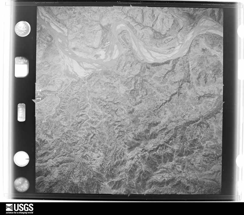
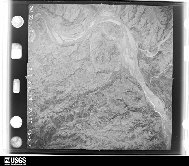
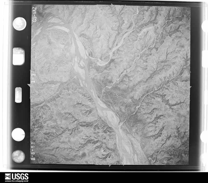
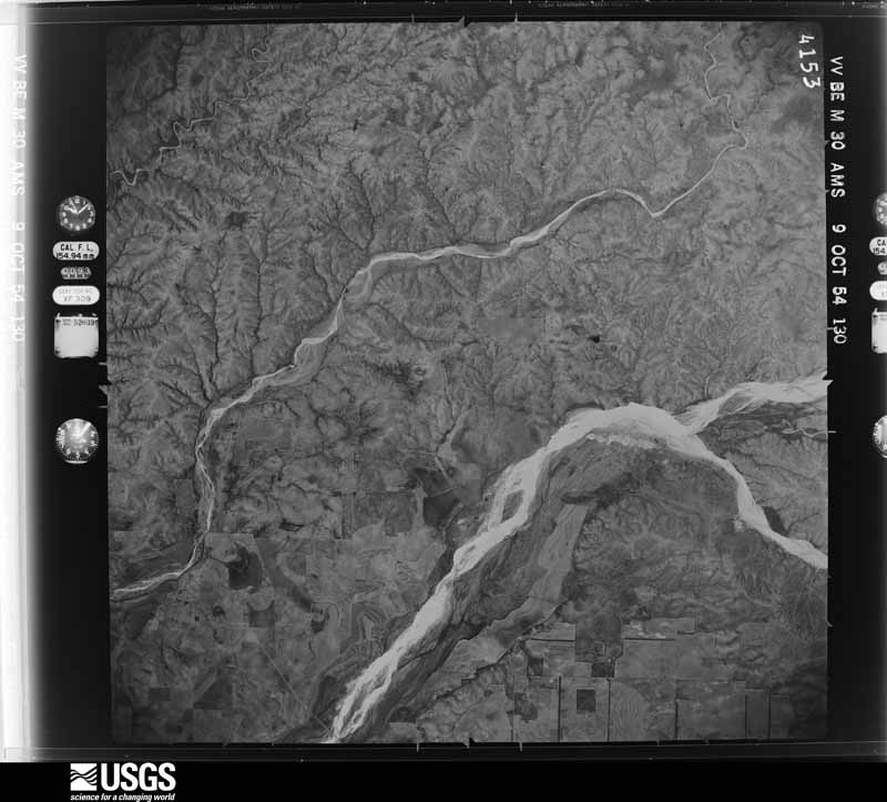
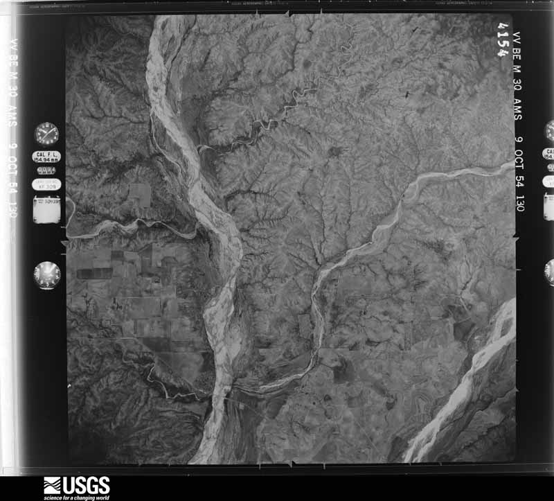
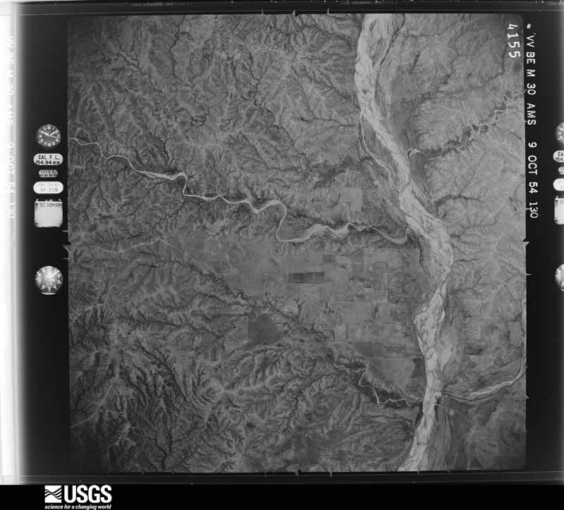
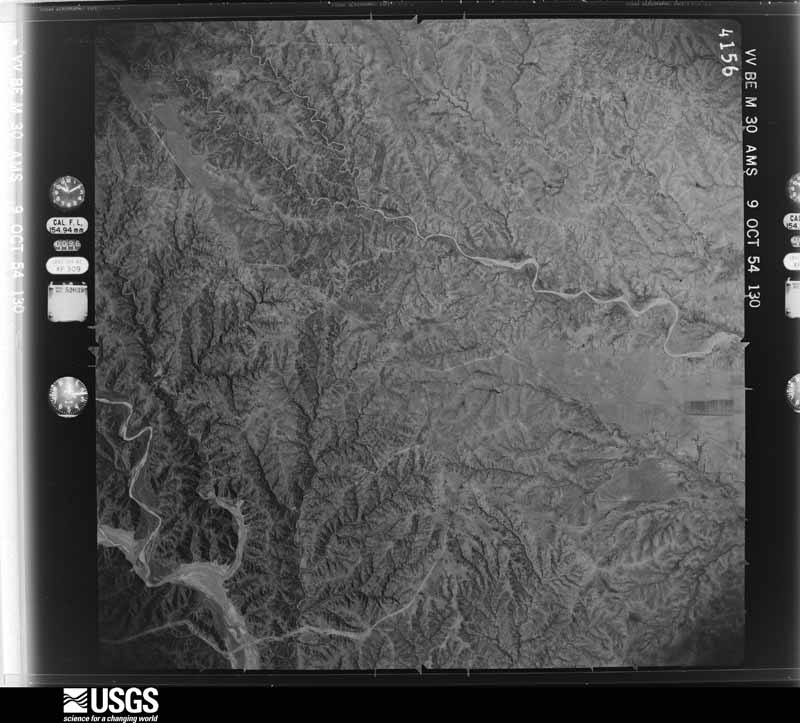
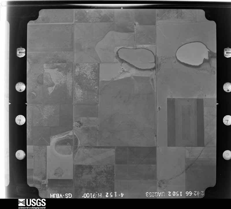
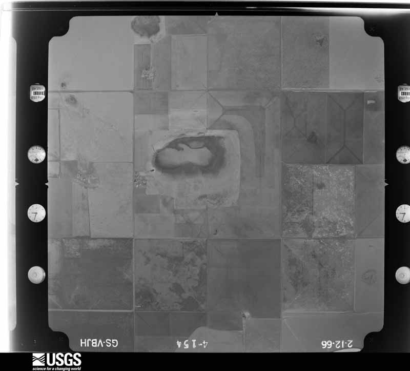
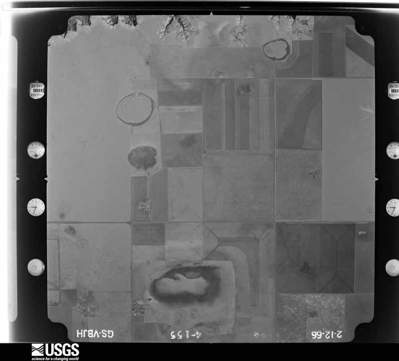
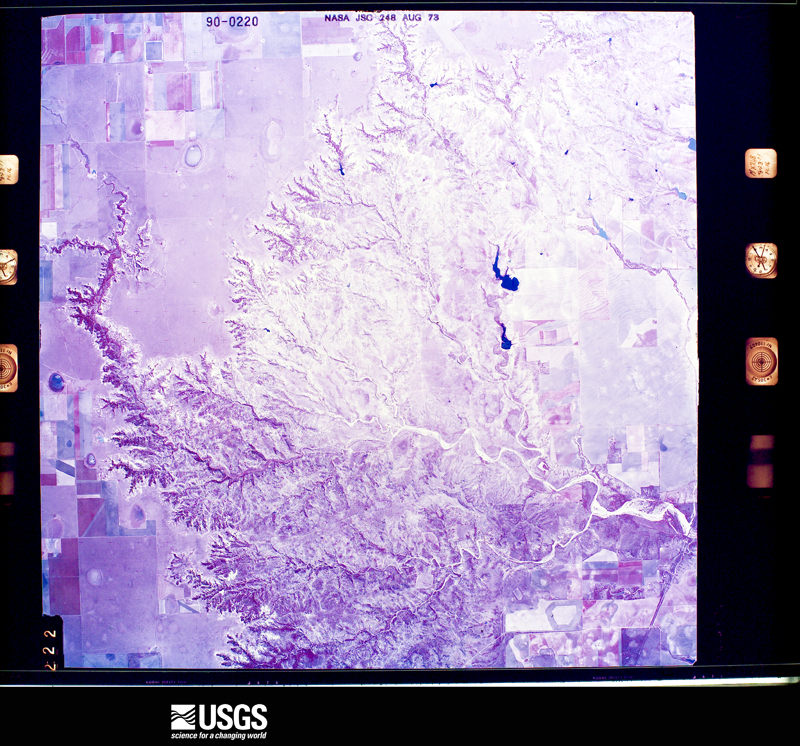
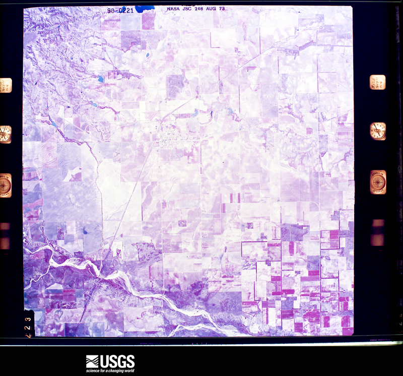
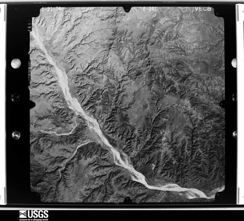
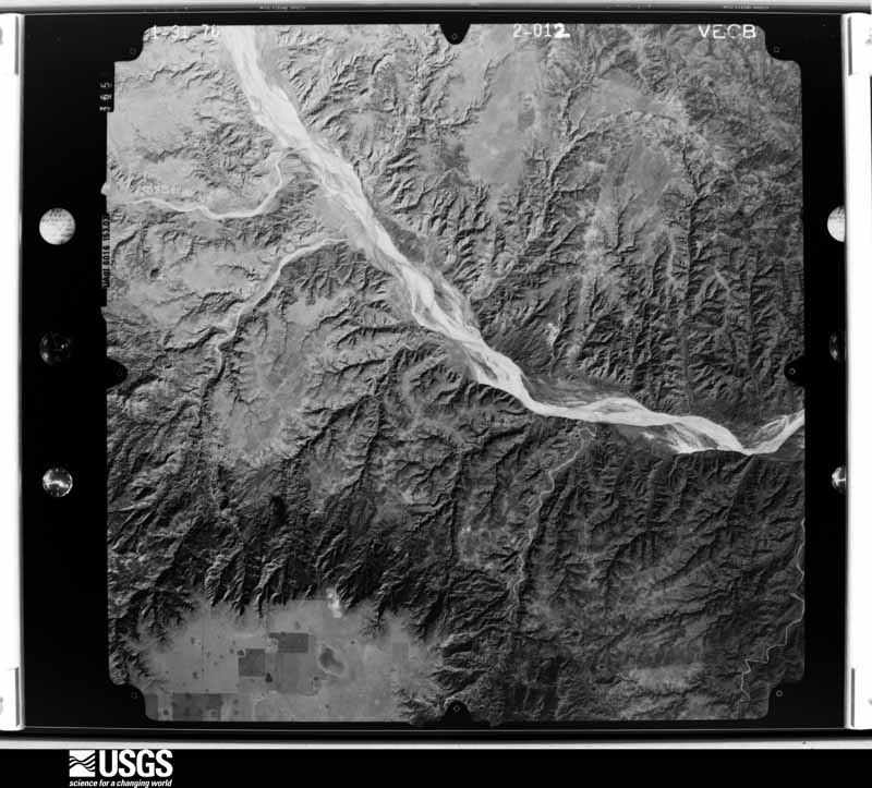
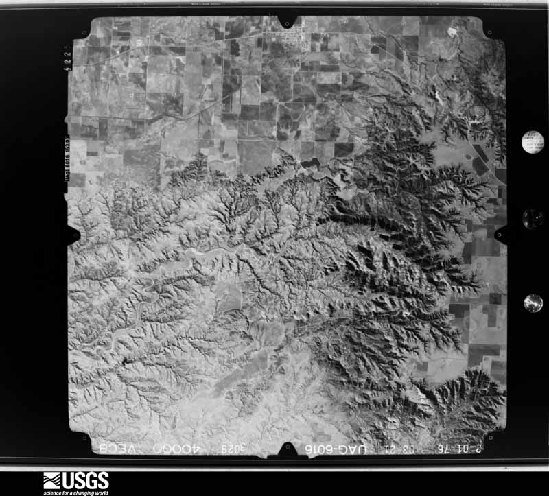
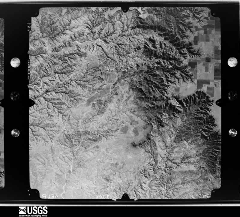
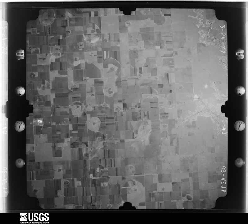
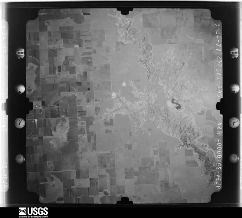
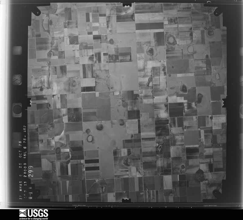
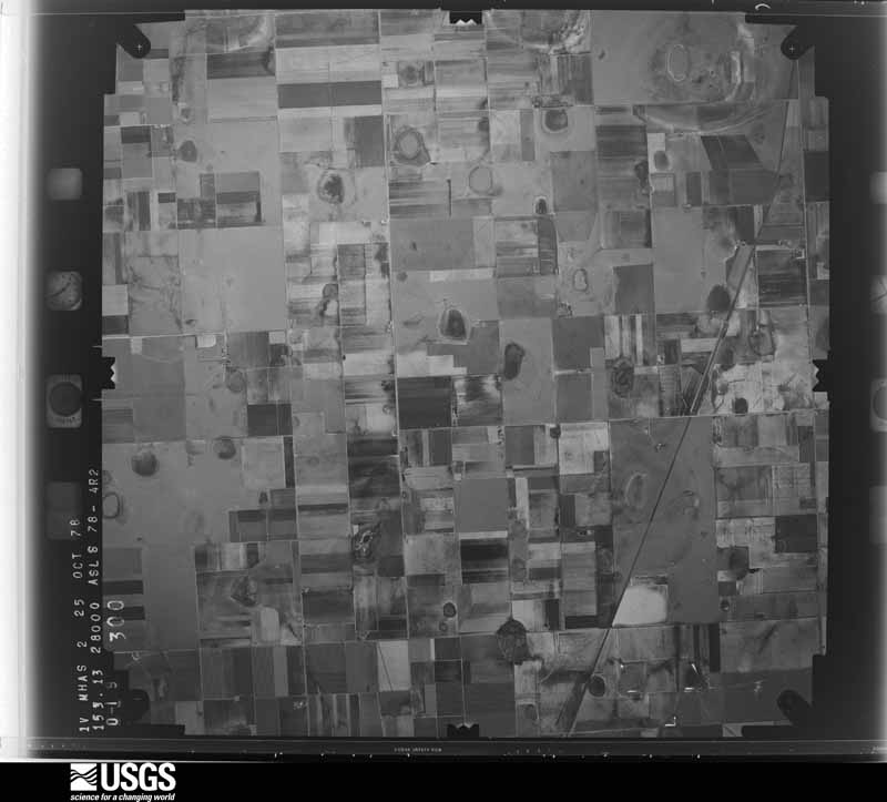
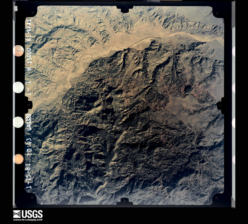
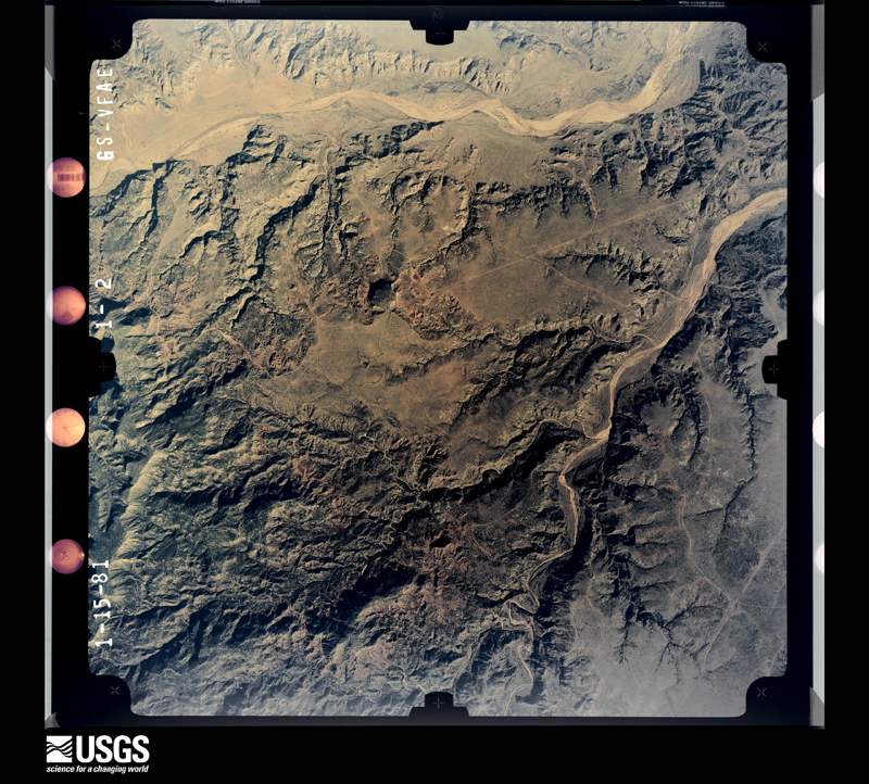
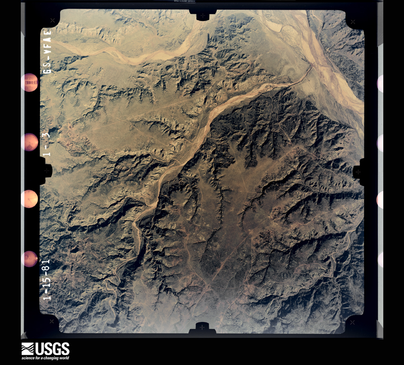
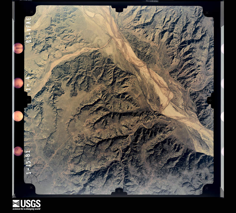
Flown by the U.S. Geological Survey between 1937 and 1989, the Aerial Photo Single Frames collection is the definitive mid-century view of the land: fields, roads and rivers as the camera saw them. The Survey holds 1,251 frames inside the rectangle that bounds this county; the 36 frames below were taken over the county itself, chosen across the decades of flights (at most four a year from that rectangle), so one flight cannot crowd out the rest. The full set is free to browse and download at EarthExplorer under the dataset Aerial Photo Single Frames.












The thermometers that kept this county's weather, and the gages that measured the flow of its streams, as the federal records hold them. The extremes below are measured values from those records, not estimates.
Who lived here in 1950, one enumeration district at a time, as the Census Bureau described each district. Each row opens its official National Archives result, with Population Schedules and ED Maps available there.
Every wildfire the federal occurrence database records inside this county: 150 of them, burning about 27,710 acres. 44 started naturally and 2 were recorded as arson. Each settlement page carries the fires within five miles of it.
| Reported cause | Fires |
|---|---|
| Missing data/not specified/undetermined | 52 |
| Natural | 44 |
| Equipment and vehicle use | 19 |
| Debris and open burning | 15 |
| Power generation/transmission/distribution | 14 |
| Recreation and ceremony | 3 |
| Arson/incendiarism | 2 |
| Smoking | 1 |
The five largest, by the area the report gives. None of them was recorded as arson.
| Date | Cause | Size | Reported by | Name on the report |
|---|---|---|---|---|
| 31 August 2011 | Natural | 5,500 acres | Texas A & M Forest Service | HORNETS' TANK FIRE |
| 10 May 2018 | Natural | 3,705 acres | Texas A & M Forest Service | GLOVER |
| 17 July 2018 | Natural | 2,529 acres | Texas A & M Forest Service | FOLLEY PARK |
| 19 August 2011 | Natural | 1,436 acres | Texas A & M Forest Service | BARREL CREEK FIRE |
| 18 July 2018 | Natural | 1,250 acres | Texas A & M Forest Service | LOWER BARELL |
| 30 July 2005 | Missing data/not specified/undetermined | 1,200 acres | Texas A & M Forest Service | COGDALE RANCH |
| 27 February 2011 | Missing data/not specified/undetermined | 1,000 acres | Texas A & M Forest Service | BRISCOE FIRE |
| 16 April 2018 | Debris and open burning | 900 acres | Texas A & M Forest Service | TANNER FIRE |
Every settlement page carries the fires within five miles of it - see the settlement index below.
The NOAA Storm Events Database holds 347 reports for this county, causing 25 deaths, 84 injuries and about $1,551,460 in recorded property damage. Each settlement page carries the reports that name it.
| Kind of event | Reports |
|---|---|
| Hail | 185 |
| Thunderstorm Wind | 95 |
| Tornado | 50 |
| Flash Flood | 11 |
| Flood | 3 |
| Heavy Rain | 2 |
| Debris Flow | 1 |
The most serious of them, by death, then injury, then recorded damage. The accounts are quoted exactly as the forecast office filed them.
| When | Event | Place named | Harm | What the report says |
|---|---|---|---|---|
| May 1957 | Tornado (F4) | not stated | 21 killed, 80 hurt, $250,000 | no account filed |
| June 1975 | Tornado (F1) | not stated | 3 killed, $30 | no account filed |
| April 1970 | Tornado (F4) | not stated | 1 killed, 4 hurt | no account filed |
| May 2001 | Hail | Silverton | $200,000 | Storm spotters reported that hail tennis ball size and larger broke windows. |
| March 2007 | Tornado (EF2) | Quitaque | $125,000 | Many storm chasers observed a large multiple vortex tornado that developed north of Quitaque shortly after 17:30 CST. The tornado initially touched down immediately north of Texas Highway 256, and tracked northeastward across the Prairie Dog Town Fork of the Red River. The tornado cut a twelve mile long path through the mesquite thickets of eastern Briscoe County, however, it continued across northwestern Hall County and into extreme southern Donley County before ending at 17:09 CST. The total path length was nearly twenty miles in length. |Despite the rural nature of the area, a few structures sustained significant damage. A trailer house was destroyed about five miles south of the river. The trailer was vacant when the tornado struck, but frequently served to house deer hunters. A single-story residence also was impacted by the tornado near Antelope Flat. The roof was totally blown off of the home. A forty by twenty-four foot barn used to store all-terrain vehicles also was destroyed at the homestead. At least two wind mills were additionally destroyed. The destruction of the trailer house, the complete loss of the roof to the home, and the destruction of the large barn all support an EF2 rating. No injuries were reported. |
| May 2022 | Hail | Silverton | $100,000 | The fire department in Silverton reported baseball size hail and numerous windshields destroyed. |
| June 2009 | Hail | Quitaque | $100,000 | The public and local fire department officials reported that predominately golfball size hail was mixed with intermittent hail stones as large as softballs in Quitaque. The hail reportedly combined with damaging thunderstorm winds to knock out many windows in Quitaque. Combined damages from wind and hail were estimated to approach $200,000. No injuries were reported. |
| June 2004 | Flash Flood | East Portion | $100,000 | Storm chasers reported several roads flooded in the eastern portion of the county. The Texas Tech West Texas Mesonet station located 7 E Silverton measured 3.94 inches of rain between 1640 and 1905 CST. Several roads were washed out in Caprock Canyons State Park. |
| June 2004 | Thunderstorm Wind | Silverton | $100,000 | Storm chaser reported 12 power poles snapped. Several center pivot irrigation systems were destroyed. |
| June 2009 | Hail | Quitaque | $50,000 | Numerous reports of large hail were received from the Quitaque and Caprock Canyons State Park areas of Briscoe County shortly after 15:00 CST. Initial reports indicated that golfball size hail, and occasionally larger hail stones, combined with damaging thunderstorm winds to knock out many windows in Quitaque. Combined damages from wind and hail were estimated to approach $200,000. No injuries were reported. |
| June 2009 | Thunderstorm Wind | Quitaque | $50,000 | Numerous reports of wind-blown hail were received from the Quitaque vicinity. Thunderstorm wind gusts estimated near 60 mph blew golfball to softball size hail through many windows in the town. Combined damages from wind and hail were estimated to approach $200,000. No injuries were reported. |
| June 1995 | Hail | Silverton | $50,000 | Large hail damaged a few roofs and dented a couple of cars. The hail reports came from the sheriff's office. |
| March 2007 | Tornado (EF1) | Silverton | $35,000 | Multiple observers photographed a tornado that developed just southwest of Silverton at 16:43 CST. This tornado crossed Texas Highway 86 just west of Silverton. Local law enforcement officials reported that seven utility poles were damaged along with lightweight buildings as the tornado impacted the outskirts of the city. Storm chasers continued to track the tornado until it roped out north of Silverton over open terrain around 17:00 CST. |
| May 2001 | Hail | Silverton | $35,000 | Storm spotters reported golfball size hail. |
| May 2001 | Hail | Silverton | $35,000 | Storm spotters reported golfball size hail. |
| April 2001 | Thunderstorm Wind | Silverton | $30,000 | Strong thunderstorm wind damaged a roof and blew down power lines. |
| April 2017 | Hail | Silverton | $25,000 | Golf ball size hail was reported at Mackenzie Reservoir. The hail broke windows on cars and campers. |
| June 2014 | Thunderstorm Wind | Silverton | $25,000 | A traveling downburst produced measured wind gusts ranging from 61 mph to 69 mph across southeastern Briscoe County. The Texas Tech University West Texas Mesonet station located southeast of Silverton recorded a peak gust of 61 mph at 905 pm CST and a similar site at Caprock Canyons State Park recorded multiple severe gusts between 905 pm CST and 917 pm CST. Additionally, a NWS COOP observer reported some downed trees and broken power poles throughout far southeastern Briscoe County. At Caprock Canyons State Park, a water plant north of Lake Theo suffered some structural damage and one fence near the maintenance area was damaged. |
| August 2004 | Hail | Silverton | $25,000 | Law enforcement officials reported golfball size hail. |
| July 2011 | Flash Flood | Silverton | $20,000 | A thunderstorm developed and remained nearly stationary near Texas Highway 207 in Briscoe and Floyd Counties. This thunderstorm dumped between 10 and 11 inches of rainfall on a localized area between seven miles south of Silverton and five miles north of South Plains. A report of 10.5 of rainfall was received from a farmer who also stated that his basement flooded for the first time. This farmer lived ten miles south of Silverton along 207. Another public report was received of eight inches of rainfall around eight miles south of Silverton. The Texas Department of Transportation closed 207 at the Briscoe and Floyd County line during the evening with three feet of running water over the roadway. A NWS storm survey on the morning of the 12th revealed that one to two feet of standing water remained over the highway with one vehicle abandoned in a ditch. Additionally, area playa lakes were full but not flooded and erosion was evident where water flowed out of the fields. |
| May 2001 | Tornado (F1) | Quitaque | $20,000 | Amateur radio storm spotters reported a tornado northeast of town. The tornado damaged a house, uprooted trees, and destroyed a barn. |
| May 1999 | Thunderstorm Wind | Silverton | $20,000 | Strong thunderstorm wind blew the roof off a house and blew down power lines. |
| July 1995 | Hail | Quitaque | $20,000 | no account filed |
| June 1995 | Hail | Silverton | $20,000 | no account filed |
| May 2002 | Thunderstorm Wind | Silverton | $15,000 | Strong thunderstorm wind gusts damaged several roofs and blew down trees and power lines. |
| June 2014 | Thunderstorm Wind | Gasoline | $12,000 | A section of power lines was damaged about four miles south of Valley Schools. A goat shed nearby was also damaged. |
| April 2013 | Thunderstorm Wind | Silverton | $12,000 | Destructive rear flank downdraft winds accompanying a tornado were found to have snapped or damaged as many as 10 power poles and removed the roof of a barn. Video provided by a storm chaser revealed high winds damaging the roof of the barn located about 300 yards south of the dissipating tornado. |
| August 2017 | Thunderstorm Wind | Gasoline | $10,000 | A Texas Parks and Wildlife Department employee reported thunderstorm wind damage at Valley Schools on State Highway 86 between Turkey and Quitaque. A metal roof was torn off of a building. |
| June 2013 | Thunderstorm Wind | Quitaque | $10,000 | An emergency manager reported wind damage just west of Quitaque with wind gusts estimated to 70 mph. Along with area roofs being damaged, some mobile homes were shifted from their foundation and tree limbs up to eight inches in diameter were snapped. In Quitaque, winds of similar magnitude removed the top of the town's old water tower. |
| June 2008 | Hail | Quitaque | $10,000 | A local broadcast media storm chaser encountered baseball size hail near the intersection of Texas Highway 70 and Farm to Market Road 256 just before 20:15 CST. The storm chaser additionally observed a finger-shaped funnel cloud which developed within a pronounced wall cloud south of that intersection, but observations of the funnel were reportedly limited due to vehicle damages sustained by the ongoing hail. |
| May 1999 | Thunderstorm Wind | Silverton | $10,000 | Strong thunderstorm wind blew down power poles west of town. |
| April 2013 | Tornado (EF1) | Silverton | $5,000 | A supercell thunderstorm produced an EF1 tornado in rural areas about 4.5 miles southeast of Silverton. This tornado damaged several power poles and one center pivot irrigation system. An NWS storm survey the following day discovered damage consistent with EF1 wind speeds. Video evidence from a storm chaser showed that very strong rear flank downdraft winds well outside the periphery of the tornado damaged the roof of a barn south of the tornado during its rope-out stage. |
| June 2013 | Flash Flood | Gasoline | $5,000 | Torrential rainfall rates produced 1.92 inches of rain in nearly 30 minutes at Caprock Canyons State Park. Additional rainfall from training thunderstorms this morning resulted in a storm total rainfall of 4.02 inches at the park. Similar to a flash flood in the park in September of 2012, the bridge crossing the South Prong of the Little Red River was inundated by floodwaters laden with debris and subsequently lost large sections of asphalt road. Elsewhere in Briscoe County, a rock slide occurred along Highway 256 east of Silverton and Farm-to-Market Road 599 in Gasoline was under water. |
| May 2013 | Tornado (EF0) | Quitaque | $5,000 | The first of two landspout tornadoes this afternoon developed just west of Valley Schools in far southeast Briscoe County and moved slowly eastward causing EF-0 damage to a barn. This tornado later passed within 1/4 mile of the Valley Schools' football field and was photographed and videoed by some members of the school faculty. |
| May 1998 | Thunderstorm Wind | Quitaque | $5,000 | no account filed |
| May 1982 | Tornado (F1) | not stated | $2,500 | no account filed |
| June 1958 | Tornado (F0) | not stated | $2,500 | no account filed |
| September 2012 | Flash Flood | Quitaque | $2,000 | A NWS storm survey confirmed road damage from flash flooding along a bridge in Caprock Canyons State Park. The damage occurred about 2.5 miles north of the park's main entrance where a normally dry creek bed to Lake Theo swelled with several feet of water and inundated a bridge. Although small portions of the asphalt road along the bridge were washed out, the integrity of the bridge was not compromised. A substantial amount of debris (including large tree limbs and branches) accompanied the fast-moving floodwaters after nearly 1.5 inches of rain fell in 30 minutes. |
| May 2006 | Thunderstorm Wind | Silverton | $2,000 | Local law enforcement officials reported that damaging thunderstorm winds destroyed large tents and blew down utility poles at Mackenzie Reservoir in western Briscoe County. No injuries were reported. |
| June 2002 | Thunderstorm Wind | Quitaque | $2,000 | Strong thunderstorm winds snapped power poles and blew down large tree limbs and power lines. |
| June 1997 | Thunderstorm Wind | Quitaque | $2,000 | no account filed |
| June 1997 | Thunderstorm Wind | Silverton | $2,000 | no account filed |
| July 1996 | Thunderstorm Wind | Quitaque | $1,000 | no account filed |
| April 2016 | Hail | Quitaque | $500 | Multiple reports were received of hail up to the size of golf balls from Quitaque to Caprock Canyons State Park. The Texas Tech University West Texas mesonet station at the state park sustained minor hail damage. |
| June 2006 | Thunderstorm Wind | Quitaque | $500 | Severe winds, accompanied by small hail, damaged tents at Caprock Canyon State Park. In addition, an automated weather station operated by a local television station recorded a severe thunderstorm wind gust of 61 MPH in Quitaque. No injuries were reported. |
| May 1982 | Tornado (F1) | not stated | $250 | no account filed |
| May 1983 | Tornado (F1) | not stated | $30 | no account filed |
| May 1982 | Tornado (F0) | not stated | $30 | no account filed |
| May 1982 | Tornado (F0) | not stated | $30 | no account filed |
| April 1978 | Tornado (F1) | not stated | $30 | no account filed |
| May 1977 | Tornado (F1) | not stated | $30 | no account filed |
| May 1957 | Tornado (F0) | not stated | $30 | no account filed |
| May 2025 | Hail | Silverton | - | Several photographs on social media depicted a swath of hail northwest of Silverton near Mackenzie Reservoir along Texas State Highway 207. |
| April 2025 | Tornado (EFU) | Whiteley | - | Multiple storm chasers published photograph and video evidence of an anticyclonic tornado that crossed from northern Floyd County into southern Briscoe County over open fields. |
| April 2025 | Thunderstorm Wind | Silverton | - | A Texas Tech University West Texas mesonet site near Silverton measured severe wind gusts from 2106 CST through 2113 CST. A peak wind gust of 79 mph was measured at 2109 CST. |
| April 2025 | Thunderstorm Wind | Caprock Canyons State Park | - | A Texas Tech University West Texas mesonet site near Caprock Canyons State Park measured a wind gust of 60 mph. |
| April 2025 | Hail | Whiteley | - | Several mPing reports were received of hail along Texas State Highway 207 south of Silverton ranging in size from half dollar to ping pong ball. |
| July 2025 | Thunderstorm Wind | Quitaque | - | Local broadcast media relayed a report of a roof blown off of a house in the town of Quitaque. |
| November 2025 | Thunderstorm Wind | Silverton | - | A Texas Tech University West Texas mesonet site near Silverton measured a severe wind gust of 64 mph. |
| June 2024 | Tornado (EFU) | Silverton | - | Two tornadoes occurred simultaneously in northern Briscoe County. This is the location of the first tornado that was reported. Early on the evening of June second, a supercell thunderstorm developed in far northern Swisher County. The storm crossed an outflow boundary as it moved east across northern and eastern Swisher County resulting in increasing rotation and development of a low-level mesocyclone. Storm chasers reported a tornado as the storm crossed into western Briscoe County. As this tornado was dissipating by around 1910 CST, another tornado began developing on the western flank of the first, becoming the dominant tornado by roughly 1914 CST. For four to five minutes both tornadoes appeared to be in contact with the ground simultaneously. The second tornado remained over open terrain to the east of County Road 207 and Texas State Highway 86 before dissipating just east of the Caprock Escarpment to the northeast of Silverton by 1934 CST. |
The Survey's mineral resources record lists 1 working inside this county. It still produces. Each settlement page carries the workings within five miles of it.
| Commodity | Workings |
|---|---|
| Uranium | 1 |
The least common of them first, because a county's hundredth gravel pit says nothing its first ten did not.
| Where | Site | Commodity | Status | Recorded |
|---|---|---|---|---|
| Saul Ranch - Rattlesnake Mine | Uranium | Producer | Stratabound |
Named settlements recorded in the Geographic Names Information System, each with the topographic sheets covering it. Villages, hamlets and abandoned places alike. Each is shown with the nearest named watercourse or landform and the survey quadrangle it falls on. The 1 place that was also surveyed for fire insurance comes first, with the number of atlases and photographs held for them.
Quitaque census division · 79255 · Quitaque quadrangle
7 sheets, 1954 to 1985
Fire insurance: 2 atlases
Quitaque census division · 79226 · On Antelope Flats · Hughes Canyon quadrangle
9 sheets, 1954 to 1986
Quitaque census division · Near Stinkhole Divide · Willow Arroyo quadrangle
9 sheets, 1954 to 1985