 Block
BlockFrom the record
1 National Register listing published here.
Sources: the National Register database, National Park Service
27 topographic sheets and 2 fire insurance atlases across 1 place.
1 National Register listing published here.
Sources: the National Register database, National Park Service
Taken for the Office of War Information and the Farm Security Administration, who photographed the country between 1935 and 1944. Works of United States government photographers, with no known restriction on use. Each opens its catalogue record.
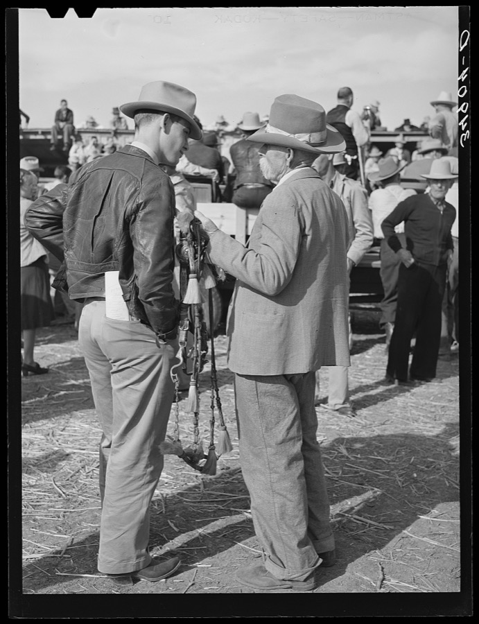
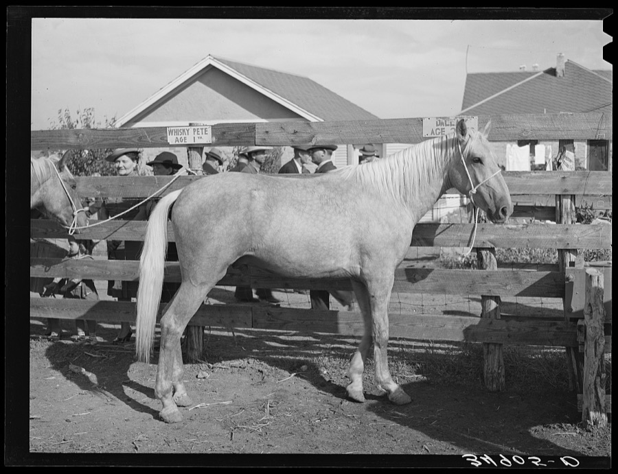
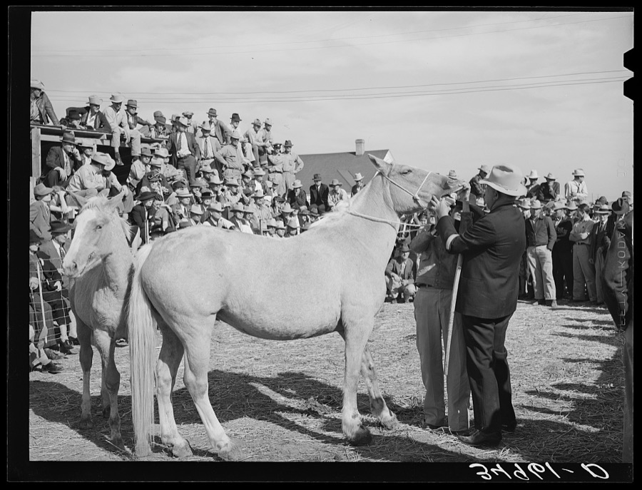
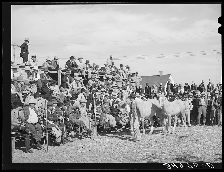
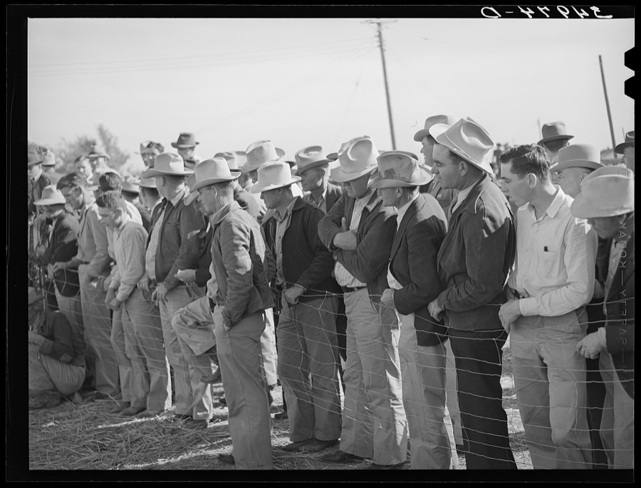
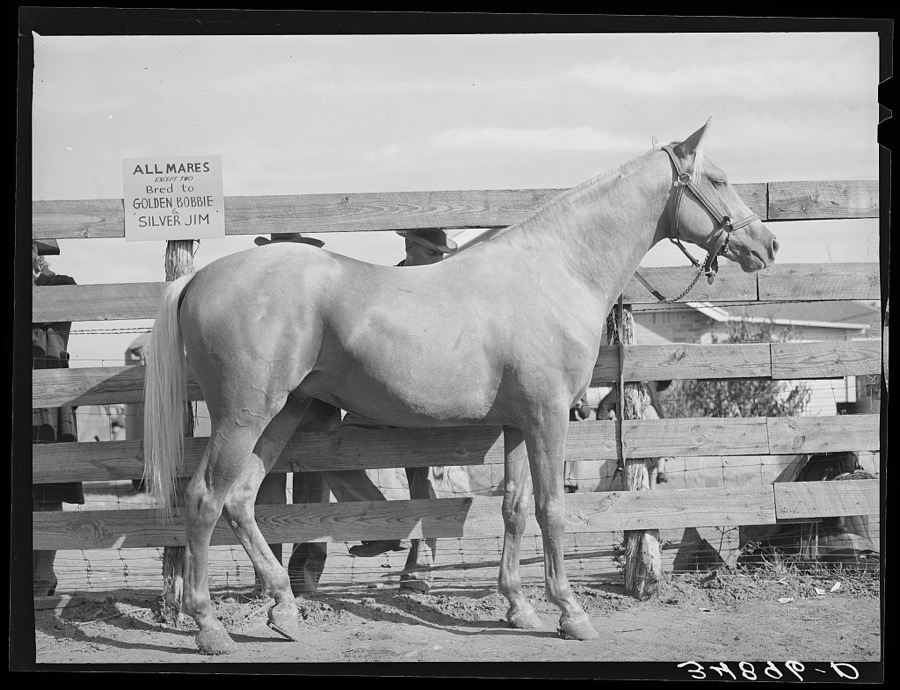
Every property in this county listed on the National Register of Historic Places, with the year it was listed and the federal nomination document.
| Photograph | Property | Type | Listed | Reference |
|---|---|---|---|---|
 | Brooks County Courthouse | building | 2012 | 12000193 |
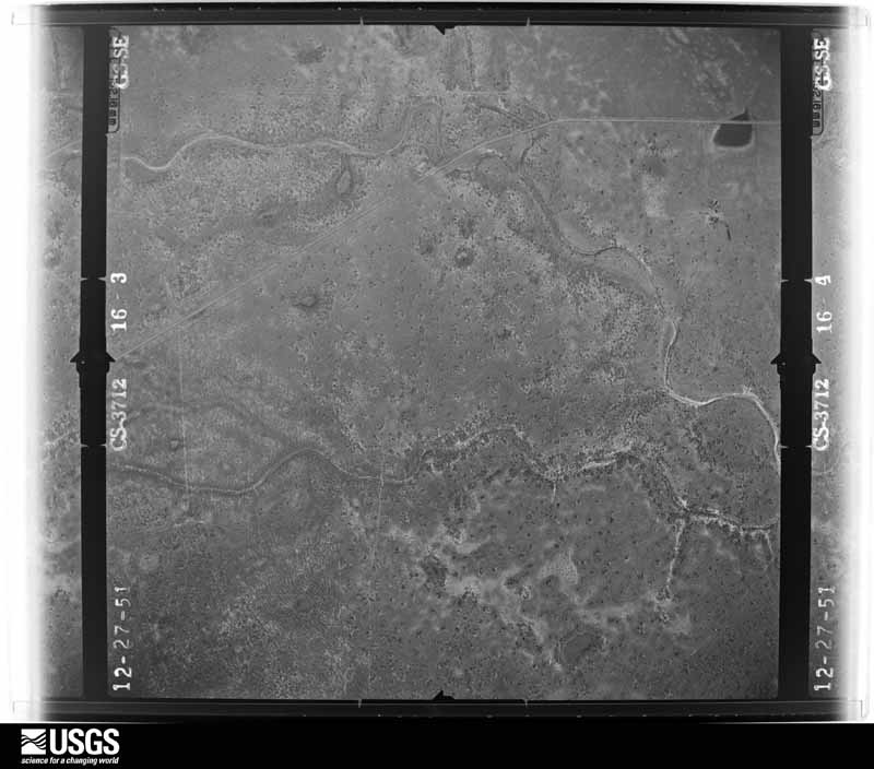
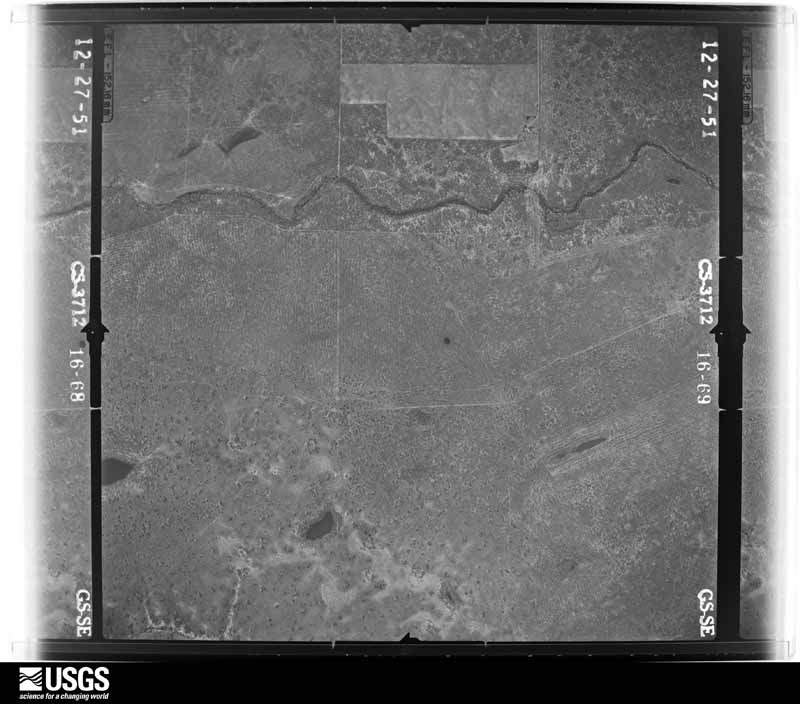
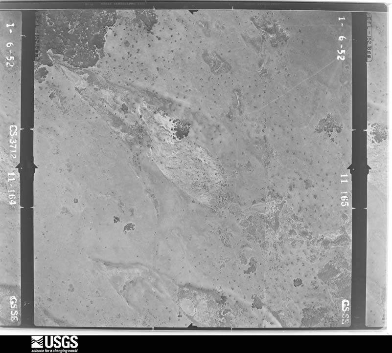
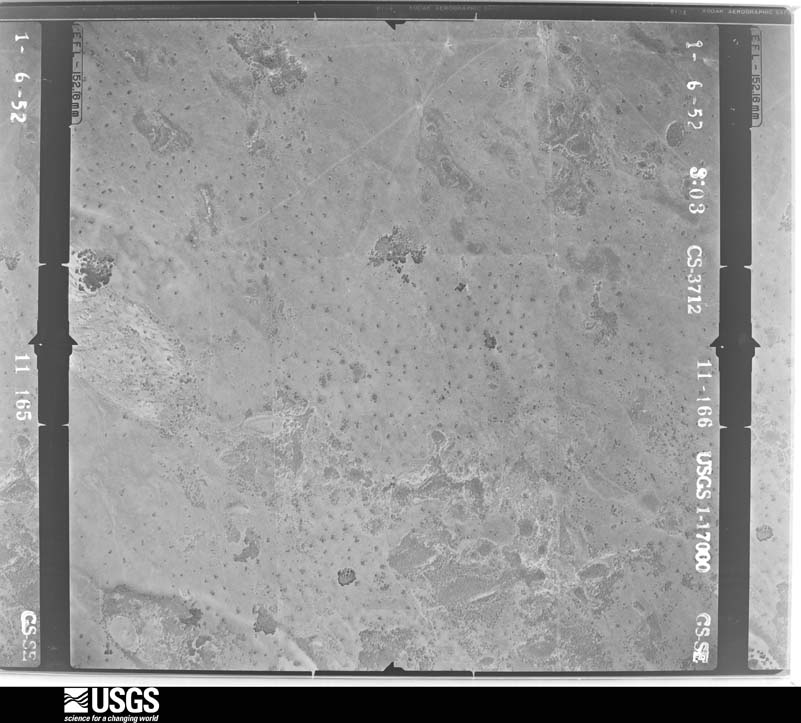
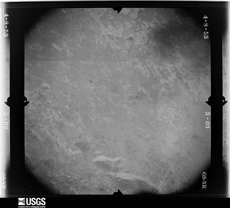
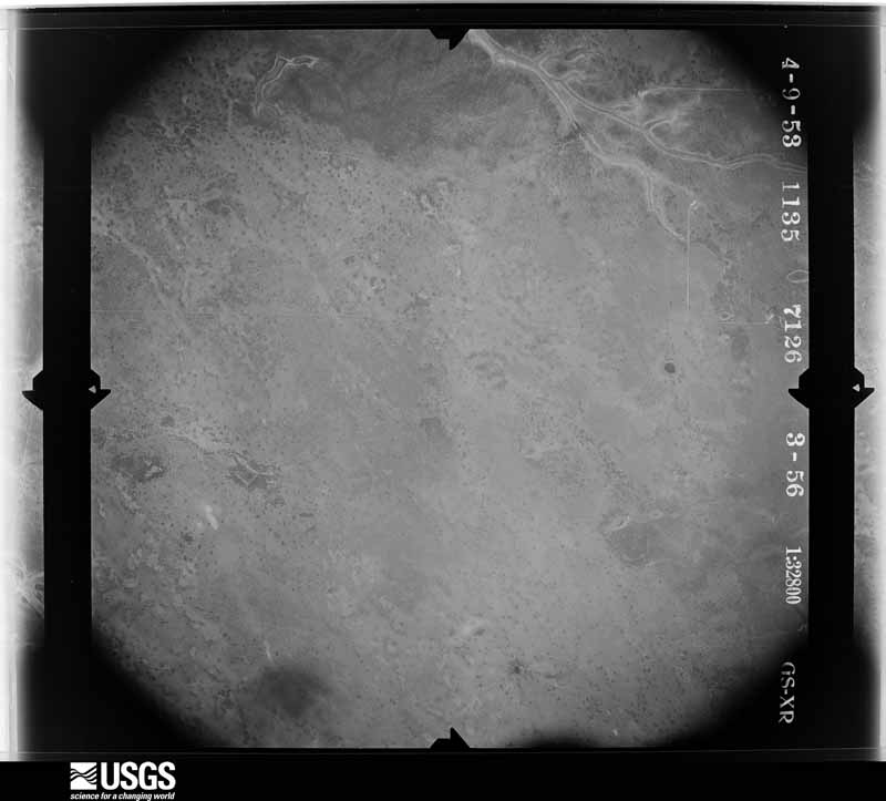
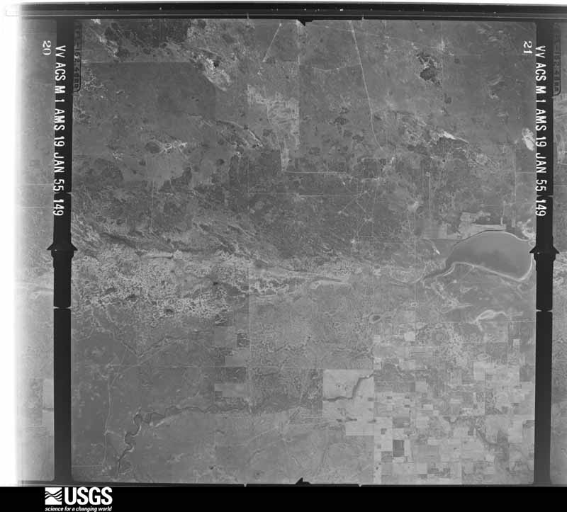
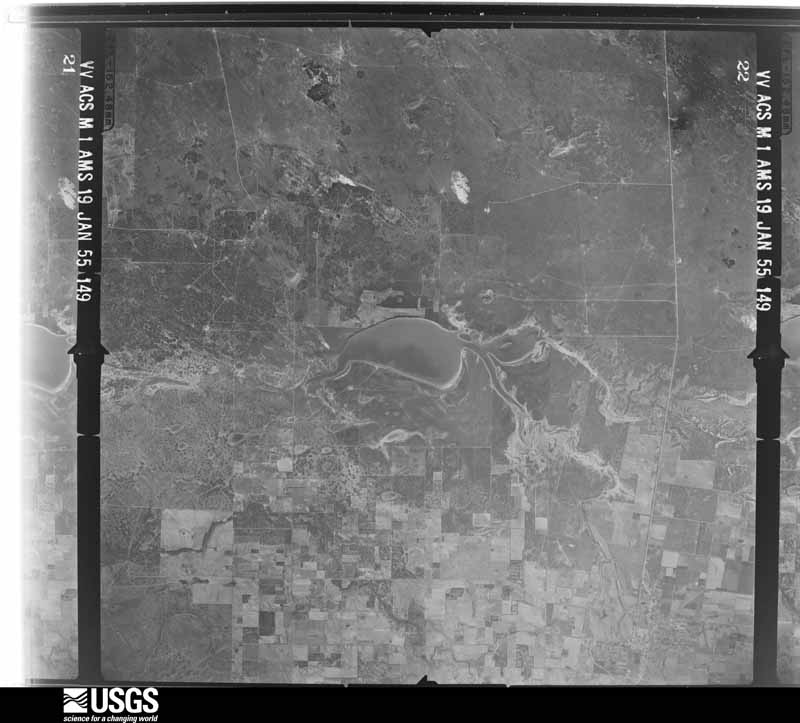
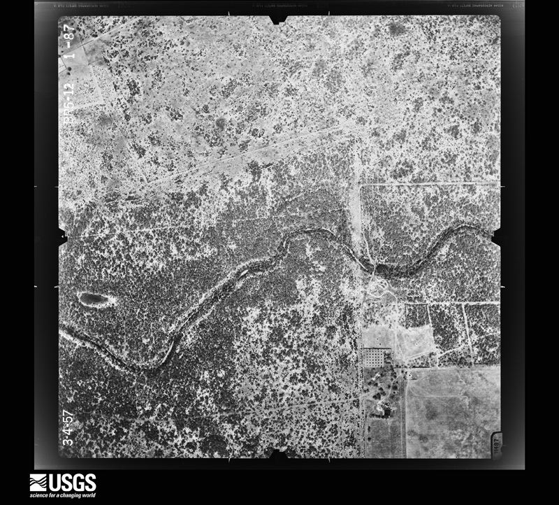
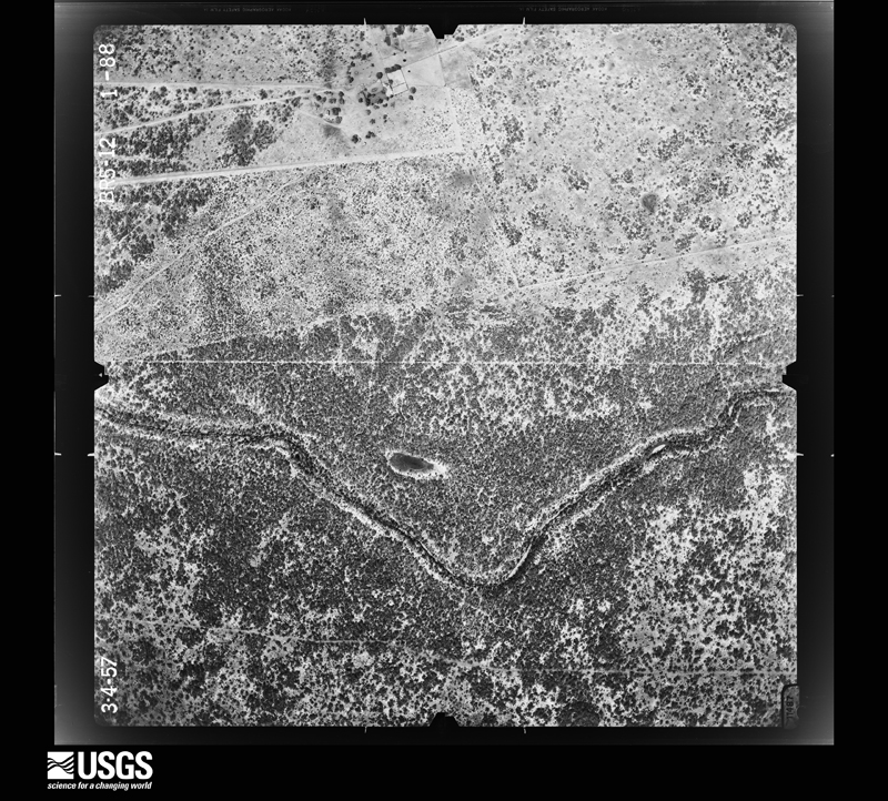
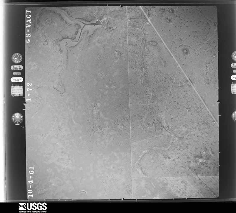
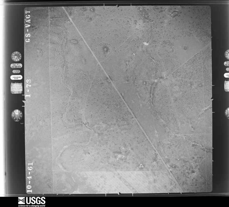
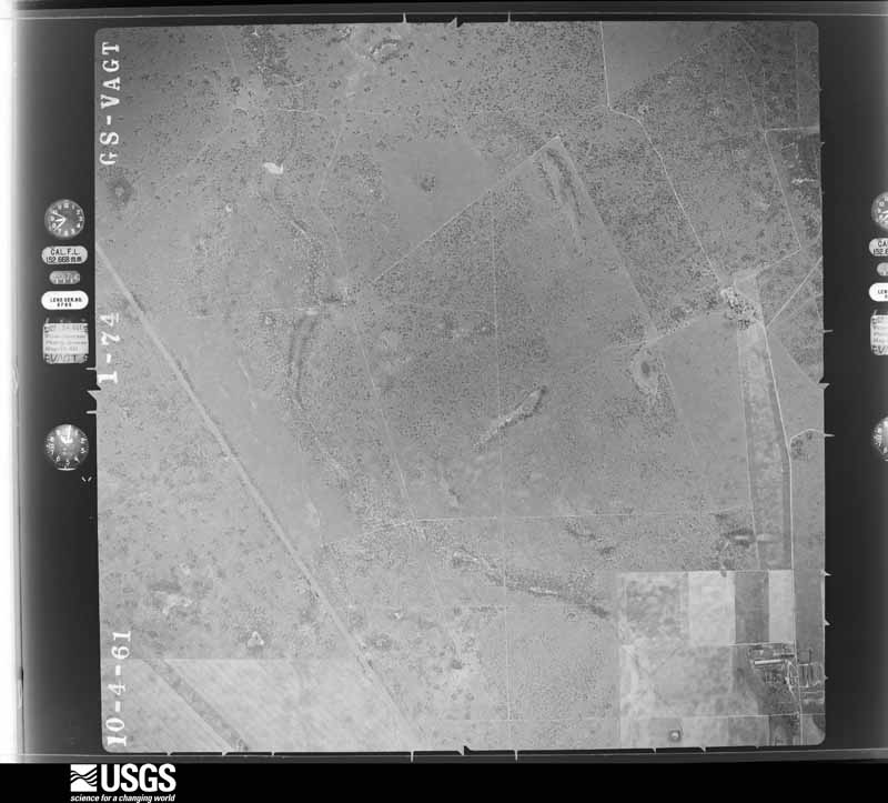
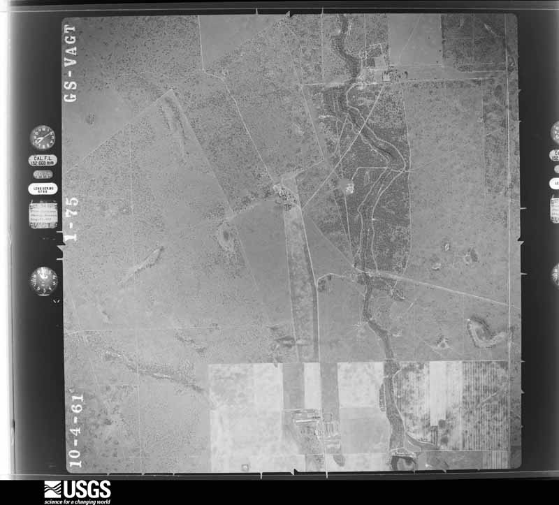
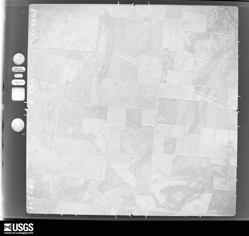
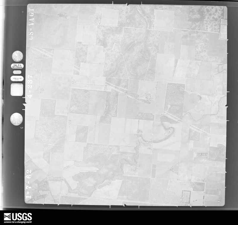
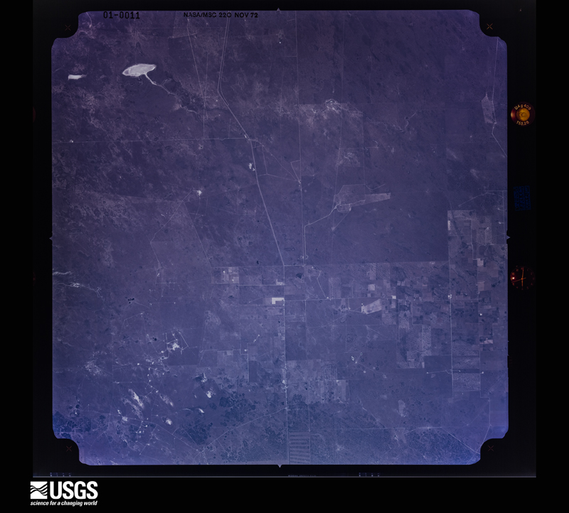
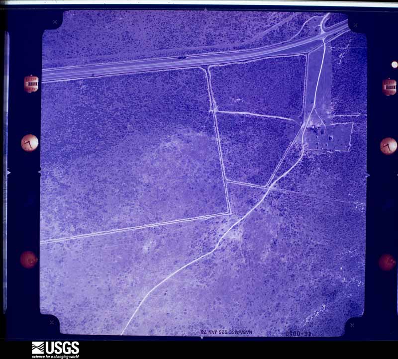
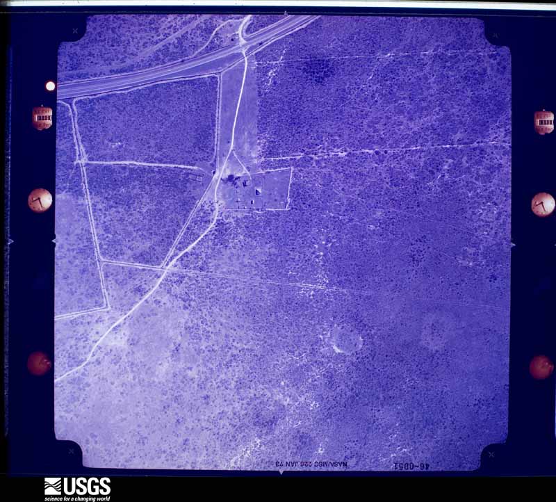
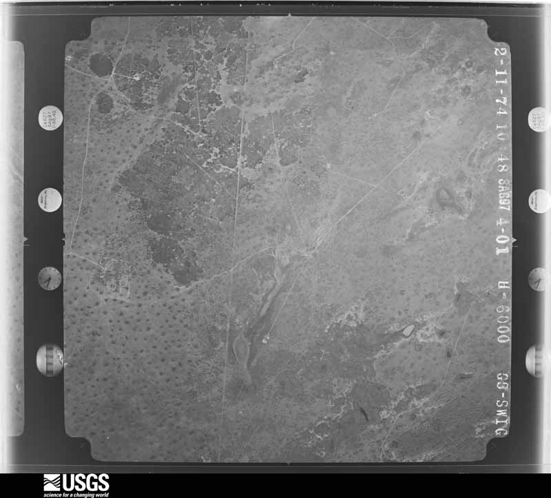
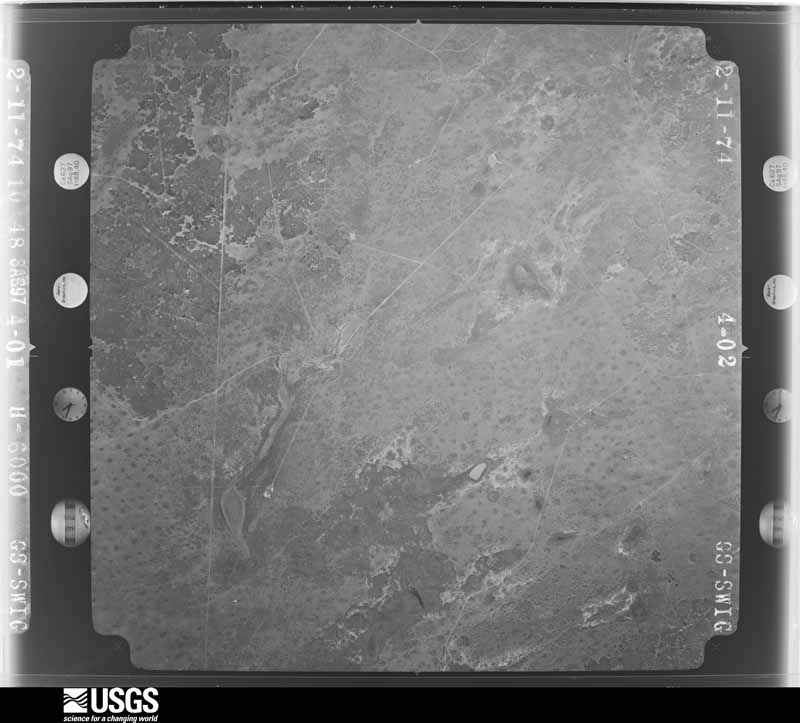
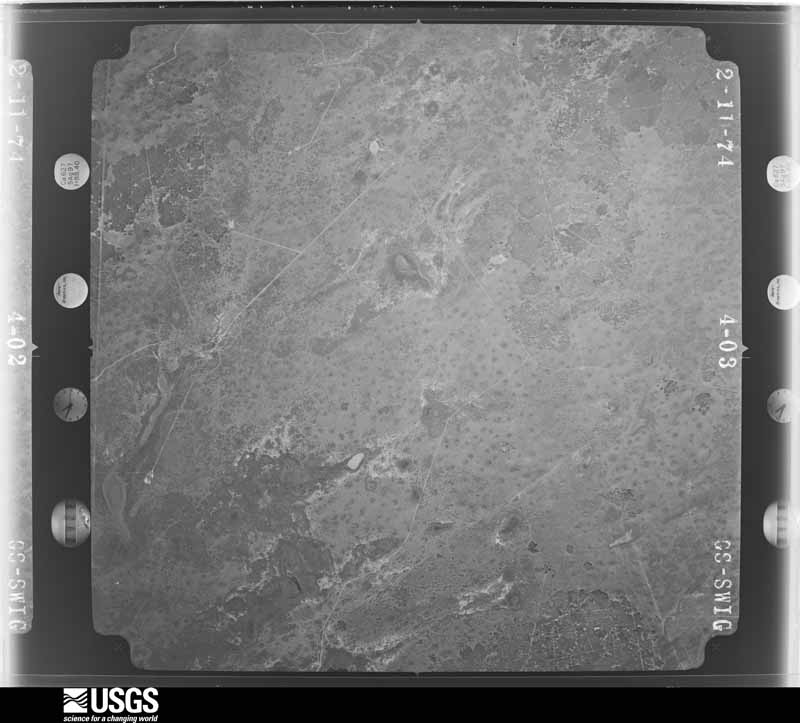
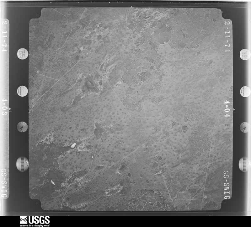
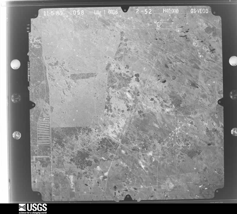
Flown by the U.S. Geological Survey between 1937 and 1989, the Aerial Photo Single Frames collection is the definitive mid-century view of the land: fields, roads and rivers as the camera saw them. The Survey holds 2,167 frames inside the rectangle that bounds this county; the 48 frames below were taken over the county itself, chosen across the decades of flights (at most four a year from that rectangle), so one flight cannot crowd out the rest. The full set is free to browse and download at EarthExplorer under the dataset Aerial Photo Single Frames.
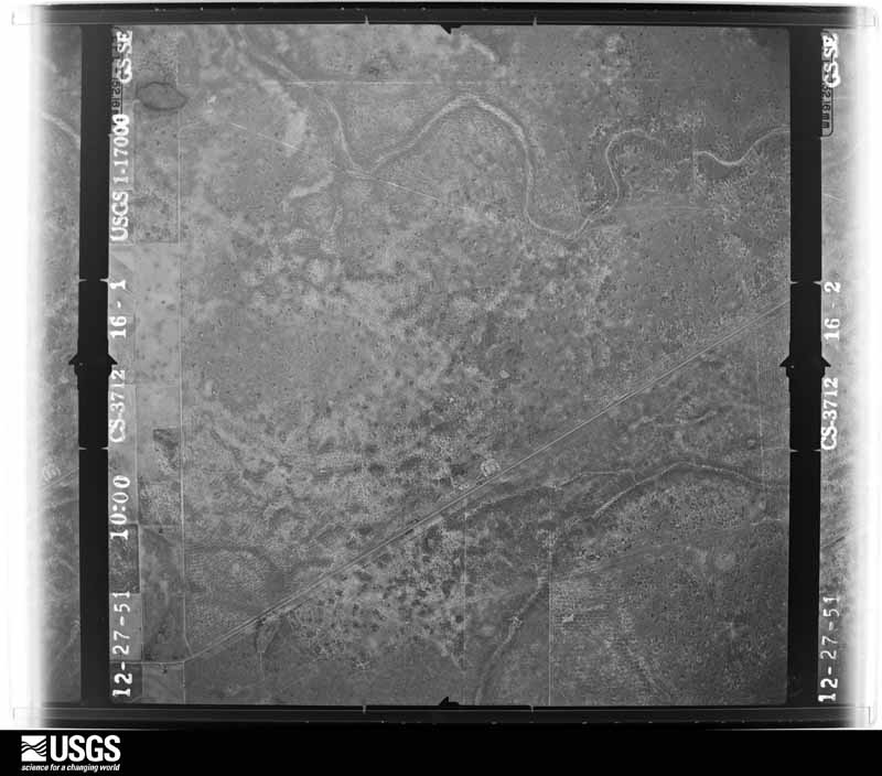
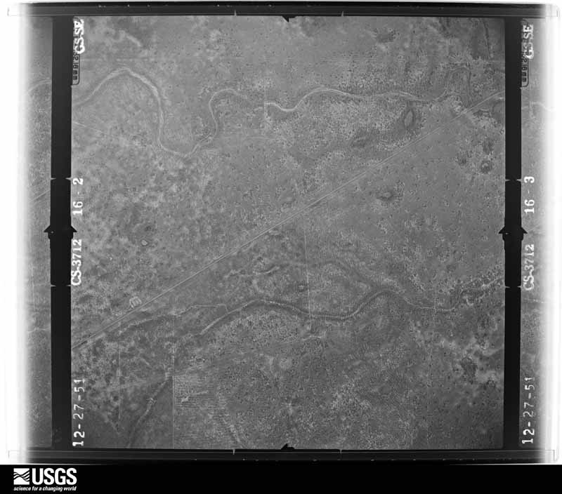
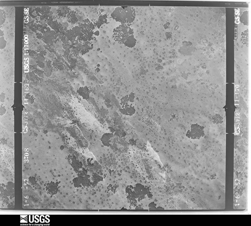
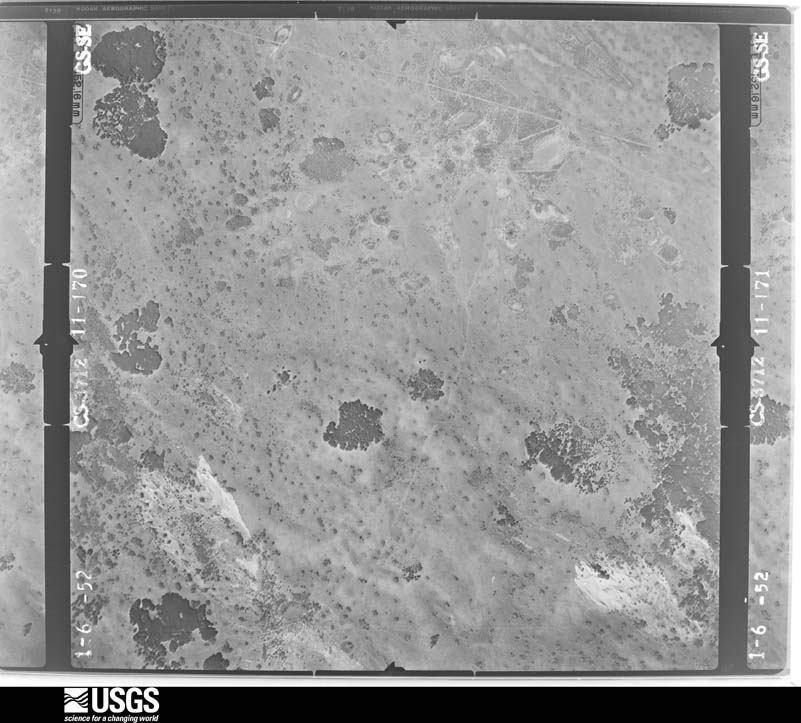
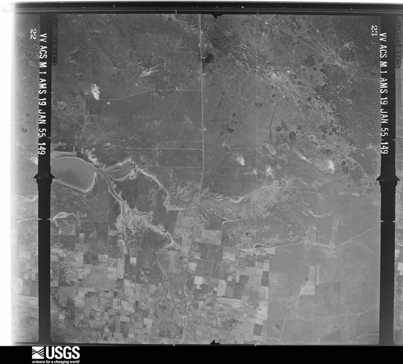
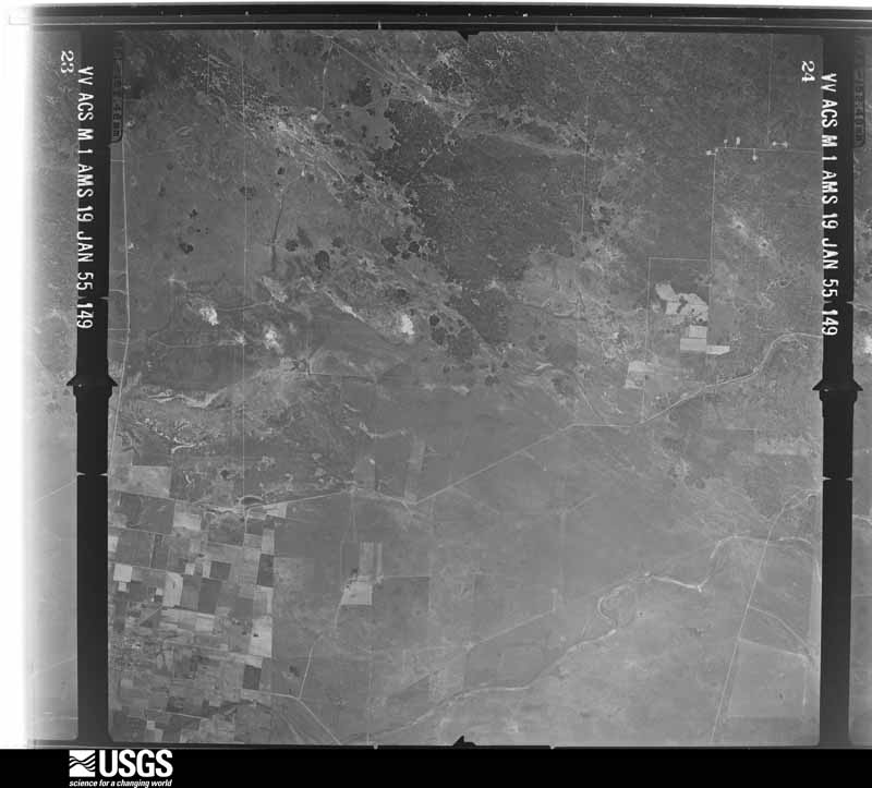
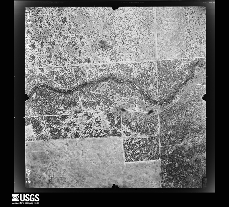
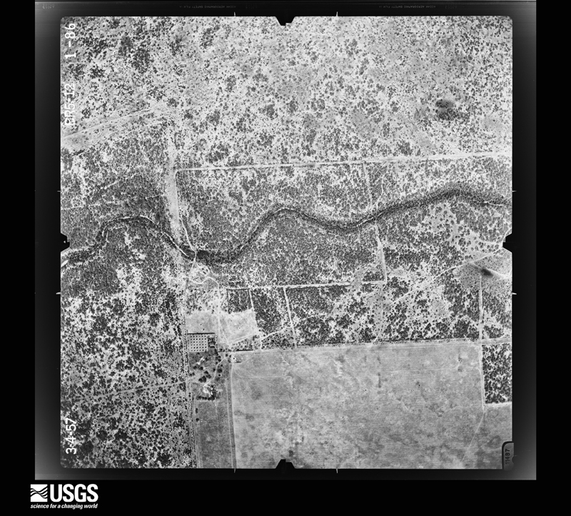
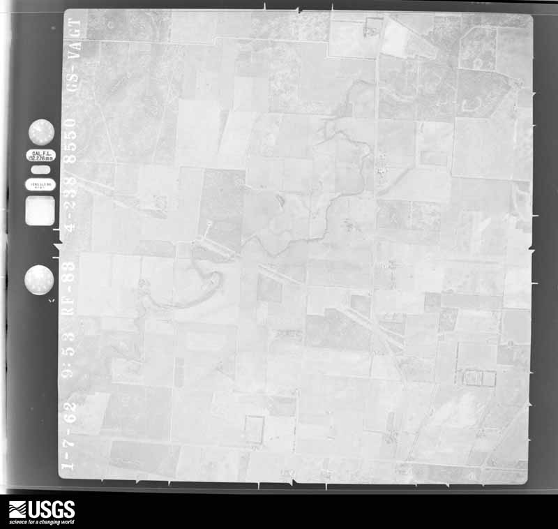
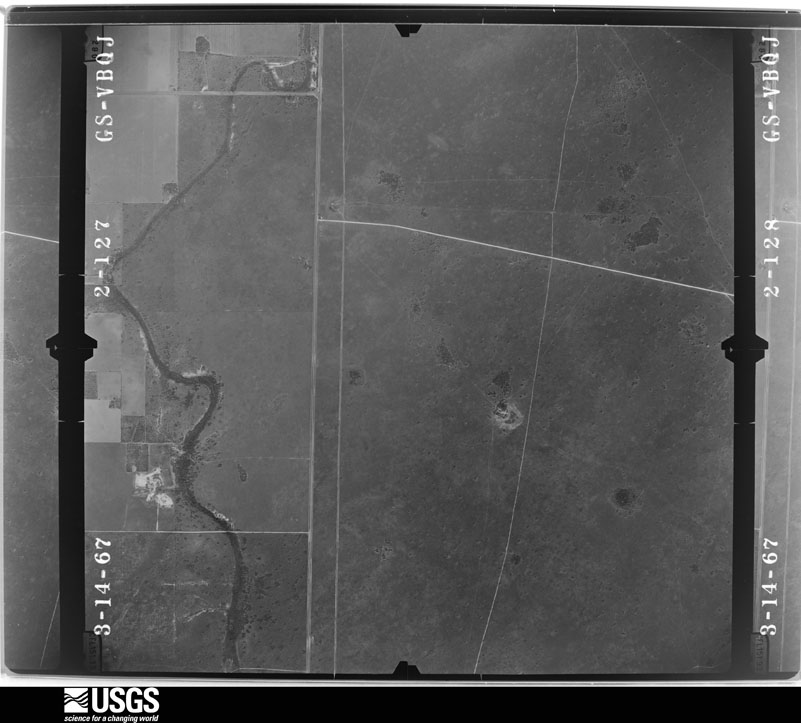
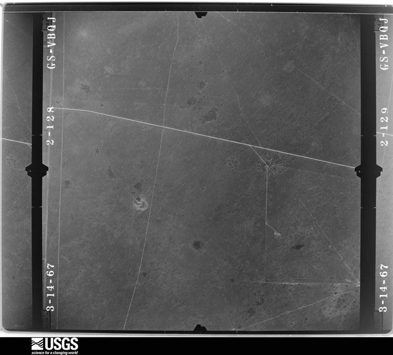
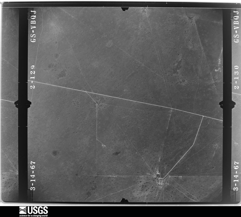
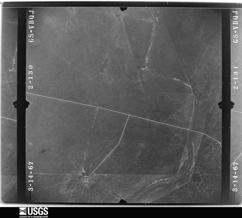
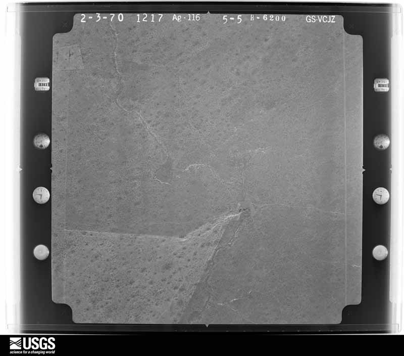
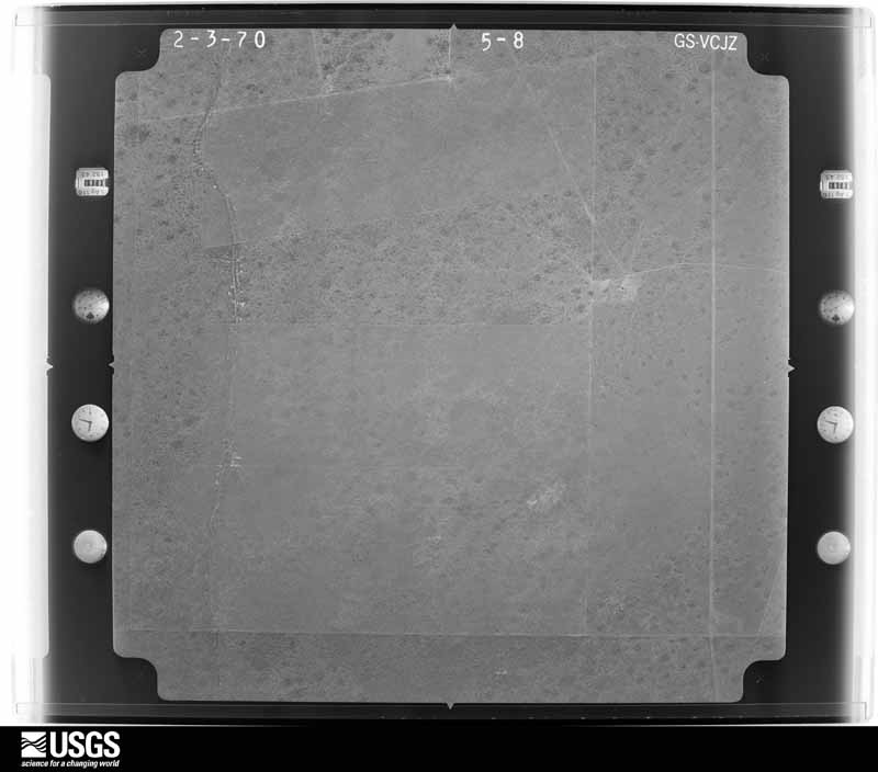
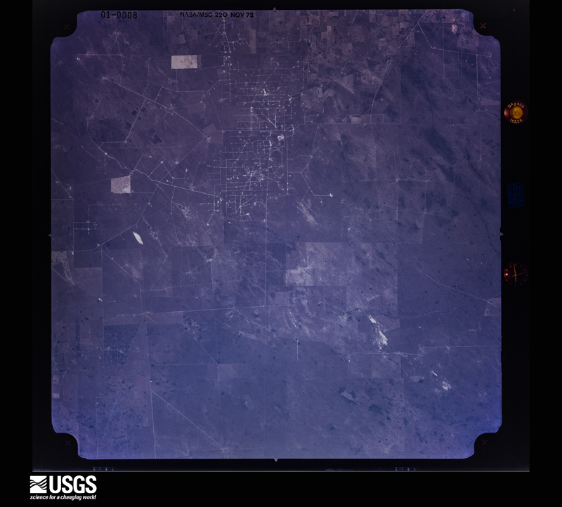
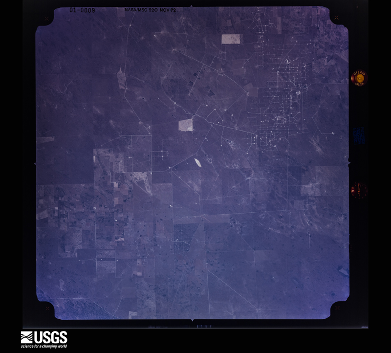
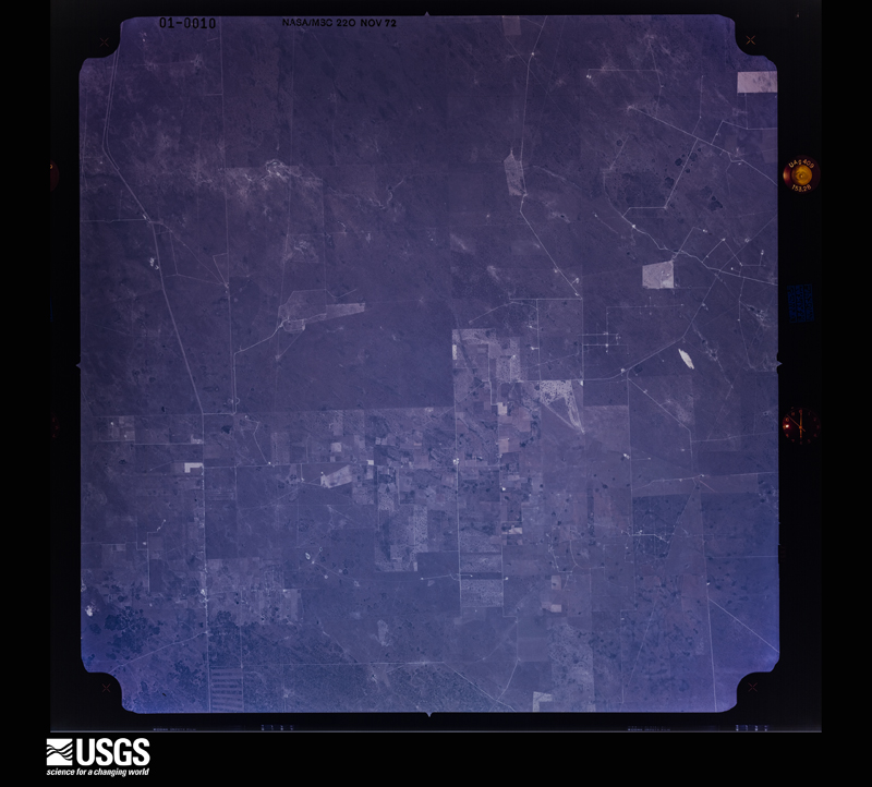


The thermometers that kept this county's weather, and the gages that measured the flow of its streams, as the federal records hold them. The extremes below are measured values from those records, not estimates.
Who lived here in 1950, one enumeration district at a time, as the Census Bureau described each district. Each row opens its official National Archives result, with Population Schedules and ED Maps available there.
Every wildfire the federal occurrence database records inside this county: 155 of them, burning about 80,727 acres. 2 started naturally and 5 were recorded as arson. Each settlement page carries the fires within five miles of it.
| Reported cause | Fires |
|---|---|
| Missing data/not specified/undetermined | 60 |
| Debris and open burning | 40 |
| Equipment and vehicle use | 19 |
| Misuse of fire by a minor | 14 |
| Smoking | 7 |
| Power generation/transmission/distribution | 6 |
| Arson/incendiarism | 5 |
| Natural | 2 |
| Recreation and ceremony | 2 |
The five largest, by the area the report gives. None of them was recorded as arson.
| Date | Cause | Size | Reported by | Name on the report |
|---|---|---|---|---|
| 18 June 2011 | Missing data/not specified/undetermined | 30,000 acres | Texas A & M Forest Service | SMAC FIRE |
| 29 January 2008 | Debris and open burning | 14,210 acres | Texas A & M Forest Service | 285 |
| 22 January 2017 | Power generation/transmission/distribution | 8,000 acres | Texas A & M Forest Service | HOPPER |
| 12 June 2011 | Missing data/not specified/undetermined | 3,200 acres | Texas A & M Forest Service | ENCINITOS FIRE |
| 11 August 2009 | Missing data/not specified/undetermined | 3,010 acres | Texas A & M Forest Service | HOPPER FIRE |
| 7 February 2011 | Debris and open burning | 3,000 acres | Texas A & M Forest Service | MARIPOSA RANCH FIRE |
| 25 May 2011 | Equipment and vehicle use | 2,800 acres | Texas A & M Forest Service | MARIPOSA #3 |
| 19 March 2008 | Debris and open burning | 2,500 acres | South Texas Refuge Complex | ENCINO |
Every settlement page carries the fires within five miles of it - see the settlement index below.
The NOAA Storm Events Database holds 89 reports for this county, causing no deaths, 2 injuries and about $6,513,600 in recorded property damage. Each settlement page carries the reports that name it.
| Kind of event | Reports |
|---|---|
| Thunderstorm Wind | 33 |
| Hail | 29 |
| Flash Flood | 13 |
| Heavy Rain | 6 |
| Tornado | 5 |
| Flood | 3 |
The most serious of them, by death, then injury, then recorded damage. The accounts are quoted exactly as the forecast office filed them.
| When | Event | Place named | Harm | What the report says |
|---|---|---|---|---|
| January 1950 | Tornado (F2) | not stated | 2 hurt | no account filed |
| April 2004 | Hail | Falfurrias | $2,000,000 | no account filed |
| April 2004 | Hail | Falfurrias | $2,000,000 | no account filed |
| April 2004 | Hail | Falfurrias | $2,000,000 | no account filed |
| June 2018 | Flash Flood | Falfurrias | $150,000 | Measured and estimated rainfall of between 7 and more than 12 inches in north central Brooks County from the pre-dawn hours through around noon on June 19th created high standing water in and around Falfurrias. More than a dozen roads in town were flooded, some with 2 to 3 feet of water depth, and a number of properties saw floodwater inside of them. Farther north, along US 281 but mainly in Jim Wells County, two to three feet of flowing water closed the highway for a time during the morning and early afternoon. Highest rainfall totals for the event included 12.1 inches at the NWS cooperative observing station 4 miles west of Falfurrias and 8 inches near the center of town. Much of the flooding was the result of a combination of creeks, including Palo Blanco and Cibolo, overspilling their banks in nearby Jim Wells and Duval County, along with sheet flow from the same areas. An unknown number of water rescues were conducted during the afternoon and evening of the 19th. |
| June 2018 | Flood | Falfurrias | $100,000 | Heavy rains of 8 to more than 14 inches (estimated) across northern Brooks, northeastern Jim Hogg, eastern Duval, and much of Jim Wells County allowed substantial water flows into the riverine system of creeks, including Los Olmos, Palo Blanco, and Cibolo. Each creek flowed outside of its banks during and well after the heaviest rains fell, for much of June 19th and June 20th before waters receded below bank full. At Los Olmos Creek along the Brooks/Jim Wells County line, the gage reached flood stage (11 feet) around 4 PM CST on the 19th, and continued to moderate levels (12 feet) shortly after 6 PM. The creek would remain in moderate flood for a few hours, before dipping below 12 feet at around 9 PM CST. Slower recession brought the stage below 11 feet by early evening on the 20th. ||The peak stage at 12.32 feet ended up being the third highest on record, with only values associated with locally heavy rainfall in late August 1967 and the remnants of Hurricane Fern in September 1971 at higher levels. ||Impacts included lowland flooding between 300 and 700 feet into the flood plain, as well as high enough flow to close several farm to market roads on the east side of Falfurrias. Flooding of the Cibolo/Palo Blanco system aggravated high water from the rainfall alone that created initial flash flooding in the area earlier on June 19th. |
| May 2010 | Flash Flood | Falfurrias Arpt | $75,000 | Slow moving and redeveloping thunderstorms dumped torrential rainfall in and near Falfurrias during the afternoon of May 25th. Urban flooding began in poor drainage locations soon after the rain began, and a little after 1 PM a semi trailer careened off Highway 281, destroying a health care clinic which was later condemned. The driver sustained a minor head injury.||As the rain continued, about a foot of standing water covered a 500 foot section of business Federal Highway 281 on the south side of town. Traffic slowed to a crawl, with several vehicles stalled in the middle of the road. There were several other areas of Business Federal Highway 281 that had at least 8 inches of water on the roadway for 300 to 400 foot stretches. Firemen rescued an elderly woman from her home on Noble street which had 4 inches of water inside the house; fire fighters on a nearby location on Noble Street reported nearly waistdeep water while trudging to the house. ||There were several other areas in Falfurrias that had up to two feet of water on the roadway or in the alleys. A media report indicated 3 to 5 feet of water flooding on other streets, including some water reaching the lower floors of a Motel 9 on S. St. Mary's Street in the south portion of town.||Impressive rainfall totals were reported along and near State Highway 285. The Falfurrias cooperative observation at the Hollywood Hunting Camp just west of town blew away the entire monthly average with nearly 6 inches of rain during the event (5.94). An unconfirmed report of at least 8 inches was received from another location near Falfurrias, which was within reason based on the nature of the storms.||Flooding along and near Federal Highway 281 was exacerbated by construction of an elevated highway; dirt berms and dirt dams trapped water that would otherwise have drained more efficiently. |
| October 2003 | Flash Flood | Falfurrias | $75,000 | Heavy rains produced flash flooding in the region. The Falfurrias Fire Department had to rescue residents in Falfurrias due to rising waters. Flash flooding of roadways was taking place in Encino. |
| April 2022 | Thunderstorm Wind | Falfurrias | $15,000 | Thunderstorm winds estimated at 50 knots blew over a carport and blew it across the street. Additionally, part of the awning and roof of Rigo's Tire Shop and Road Service was torn off and tossed approximately 100 feet down the road. Radar velocity from the Corpus Christi radar indicated winds of 58 knots about 4,000 feet in elevation between 7:15PM CDT and 7:20PM CDT, which was used to estimate the timing of the event. |
| May 1999 | Thunderstorm Wind | Falfurrias Arpt | $12,000 | Roofs blown off three hangers. |
| May 2015 | Flash Flood | Falfurrias Arpt | $10,000 | Brooks County Sheriffs Office reported 1 to 2 feet of water along Highway 281 in Falfurrias, as well as on multiple streets across Falfurrias. The high water on roadways resulted in at least 3 water rescues from stranded vehicles. |
| May 2014 | Thunderstorm Wind | Falfurrias | $10,000 | The Brooks County Emergency Manager and local law enforcement reported numerous trees down near the intersection of Lasater Street and Rice Street and along St. Mary's Street. Structural damage to business signs was also reported on Center Street. |
| October 2005 | Thunderstorm Wind | Falfurrias | $10,000 | Strong thunderstorm wind gusts uprooted trees and knocked down power lines near Falfurrias. |
| August 1999 | Flash Flood | Countywide | $10,000 | Extensive street and lowland flooding from heavy rains 8/23/99. Los Olmos creasted near 10 feet in Falfurrias at about 7:00 PM tuesday, 8/24/99, causing some damage and requiring some evacuations. |
| May 2015 | Flood | Falfurrias | $5,000 | Brooks County EM reported several intersections along Travis Street being blocked off on the north side of Falfurrias due to flooding from the rising Palo Blanco Creek. Falfurrias High School reported water entering a home on North Palo Blanco due to creek rises. |
| June 2009 | Thunderstorm Wind | Falfurrias Arpt | $5,000 | The Brooks County Emergency Manager reported a roof blown off a house located approximately 5 miles east of Falfurrias from severe thunderstorm winds. |
| May 2008 | Thunderstorm Wind | Encino | $5,000 | Law enforcement in Brooks County reported power lines down and power outages near Encino due to a thunderstorms moving through the area with high winds. |
| May 1995 | Thunderstorm Wind | Falfurrias | $5,000 | Power lines blown down. Large tree limbs broken. Local street flooding. |
| April 1993 | Thunderstorm Wind | Falfurrias | $5,000 | A report from KPSO Radio in Falfurrias, reported power lines down along Highway 281 between Falfurrias and Premont. Damage was also reported to some small buildings along Highway 281. |
| June 2010 | Thunderstorm Wind | Falfurrias | $4,000 | A squall line of strong to severe thunderstorms moved through northern and central Brooks County during the late evening of June 2nd, producing gusty winds which knocked down some power lines in Falfurrias. Law enforcement measured a gust of 54 mph at 922 PM CST as the line plowed through. |
| September 1971 | Tornado (F1) | not stated | $2,500 | no account filed |
| August 1970 | Tornado (F1) | not stated | $2,500 | no account filed |
| May 2015 | Thunderstorm Wind | Falfurrias Arpt | $2,000 | Brooks County Sheriffs Office reported power poles bent over along County Road 229 and Highway 285. |
| January 2011 | Thunderstorm Wind | Falfurrias | $2,000 | The public reported sheet metal damage occurred to a carport and aluminum siding was blown off of a house near the Falfurrias airport in Brooks County. The damage occurred as a line of thunderstorms moved through the area, producing gusty winds. The same line dumped more than 1.5 inches of rain in Hebbronville. |
| May 1999 | Thunderstorm Wind | Falfurrias | $2,000 | Power lines down |
| May 1999 | Thunderstorm Wind | Falfurrias | $2,000 | Large tree loimbs down. |
| June 1997 | Thunderstorm Wind | Falfurrias Arpt | $2,000 | no account filed |
| May 2019 | Thunderstorm Wind | Falfurrias | $1,000 | Falfurrias Police Department reported downed power lines in Falfurrias. Nearby observations from Hebbronville and Alice showed gusts with the storms to be near 30 mph, but it was likely that stronger gusts caused the damage in this case. |
| May 2011 | Thunderstorm Wind | Longoria | $1,000 | Power lines were knocked down by estimated winds near 60 mph from a severe thunderstorm in southwest Brooks County, along Farm to Market 755. |
| September 2012 | Thunderstorm Wind | Falfurrias | $500 | At 612 pm CDT, local law enforcement reported trees down at 210 and Eucalyptus in Falfurrias due to thunderstorm winds. |
| May 2011 | Thunderstorm Wind | Falfurrias | $100 | The public reported a wind gusts estimated to be 45 miles per hour occurred during a thunderstorm that moved through Falfurrias during the early afternoon on May 12 2011. Small branches were broken in some trees. |
| May 2023 | Hail | Encino | - | Video sent to local media showed estimated quarter to ping pong ball sized hail near Encino in Brooks County. |
| May 2017 | Heavy Rain | Falfurrias | - | Falfurrias Fire Department reported flooding on Noble Street and at the intersection of St. Marys Street and Bennett Street. Radar estimated of 2.0 to 2.5 inches of rainfall in less than an hour. |
| April 2017 | Hail | Encino | - | Quarter size hail reported in Encino. |
| April 2017 | Hail | Falfurrias | - | Skywarn Spotter reported quarter size hail in Falfurrias. |
| June 2017 | Hail | Falfurrias Arpt | - | Brooks County Sheriffs Office reported golf ball size hail 5 miles east of US 281 along SR 285. |
| April 2015 | Hail | Falfurrias | - | Public reported quarter size hail in Falfurrias. |
| May 2015 | Flash Flood | Falfurrias | - | Brooks County Sheriffs Office reported water 12 to 18 inches deep on many roads in Falfurrias, including Highway 281. Water was high enough that residents could not get out of their homes. |
| May 2014 | Hail | Falfurrias | - | Golf ball sized hail was reported in Falfurrias by the public. |
| May 2014 | Thunderstorm Wind | Falfurrias Arpt | - | The AWOS at Brooks County Airport reported a 53 knot wind gust. |
| May 2014 | Thunderstorm Wind | Falfurrias | - | Local law enforcement reported several power lines downed in Falfurrias and in the county on Highway 206. |
| May 2014 | Thunderstorm Wind | Falfurrias Arpt | - | Local law enforcement reported several power lines downed in the county on Highway 219 and 223. |
| March 2013 | Hail | Falfurrias | - | Golf ball size hail was reported in Falfurrias by local law enforcement and nearby by a trained spotter during the mid evening. |
| March 2013 | Hail | Falfurrias | - | Half dollar size hail was reported near the Hollywood Hunting Camp about 3 miles west of Falfurrias by a Cooperative Observer. |
| April 2012 | Hail | Encino | - | Brooks County Sheriff's Office reported that quarter sized hail fell in Encino. |
| May 2011 | Heavy Rain | Falfurrias | - | A developing line of thunderstorms, containing torrential rains, moved through northern Brooks County during the early afternoon producing pockets of poor drainage and nuisance urban-type flooding along Highway 281 in Falfurrias. The Brooks county Sheriff department reported twelve inches of water was on Highway 281 and South FM 1418 by 315 PM CDT; less than an hour later, one and one half feet of water was also reported in several other locations along Highway 281. Most of these locations have become flood prone due to overpass/bypass construction, which has caused clogging of normally well draining areas along the highway. |
| May 2011 | Hail | Falfurrias | - | Law enforcement in Falfurrias reported hail up to one inch fell across some areas as a thunderstorm moved through the area. |
| May 2011 | Heavy Rain | Tacubaya | - | A re-forming strong to severe storm dropped several inches of rain in less than two hours in rural southern Brooks County, west of Federal Highway 281 and north of Farm to Market 755, west of Encino. Excluding hail contamination, Doppler Radar estimated 2 to 4 inches of rain likely fell in this area, which includes a portion of the Encinitos Ranch. |
| May 2011 | Hail | Longoria | - | Penny size hail was reported by Law enforcement west of Encino (Brooks County) during the early evening of May 20th. |
| June 2009 | Hail | Falfurrias | - | A border patrol reported nickel size hail one mile east of Falfurrias. |
| June 2009 | Heavy Rain | Falfurrias | - | Minor flooding, with up to a foot of standing water, was reported by the Brooks County Emergency Management Coordinator during a slow moving thunderstorm that dumped torrential rain and large hail. The NWS Cooperative observer at the Hollywood Hunting Camp, just west of Falfurrias, reported 2.52 inches of rain with the storm. |
| September 2009 | Flood | Huisaches | - | Thunderstorms produced heavy rainfall across the Weslaco and Mercedes areas September 22. The Emergency Manager for Weslaco reported the area near Texas and Business highway 83 had three feet of water due to the heavy rains which occurred during the afternoon. He also reported four feet of water along the south side of Business Highway 83 from Oregon west to Westgate Drive. Other areas to the north of Business Highway 83 had widespread flooding with minor damages to some homes. |
| May 2007 | Flash Flood | Falfurrias | - | Roads in rural Brooks County reported under water due to 2 inches of rain in and hour and saturated soils. |
| May 2007 | Hail | Falfurrias | - | Spotter at Palomas Ranch reported golf ball size hail. |
| May 2007 | Heavy Rain | Encino | - | Four to five total inches of rain was reported. |
| July 2007 | Flash Flood | Falfurrias | - | Falfurias law enforcement reported water covering the intersection of Highway 285 and FM 1418 one and one half miles east of Falfurias. |
| September 2007 | Heavy Rain | Falfurrias | - | The Brooks County Sheriffs office reported a thunderstorm produced rainfall and quarter size hail for a brief period of time. |
| March 2006 | Hail | Falfurrias | - | Hail the size of nickels was reported by the Brooks County Sheriff's Department. |
| April 2006 | Hail | Falfurrias | - | Large hail was reported by the general public. |
| June 2006 | Flash Flood | Encino | - | Flash flooding was reported near the entrance to the King Ranch after 4 inches of rain fell in a short period of time. |
The Survey's mineral resources record lists 1 working inside this county. It is closed or unrecorded. Each settlement page carries the workings within five miles of it.
| Commodity | Workings |
|---|---|
| Gypsum-Anhydrite | 1 |
| Halite | 1 |
The least common of them first, because a county's hundredth gravel pit says nothing its first ten did not.
| Where | Site | Commodity | Status | Recorded |
|---|---|---|---|---|
| Gyp Hill Quarry | Gypsum-Anhydrite, Halite | Past Producer | 1911, 1942 |
Named settlements recorded in the Geographic Names Information System, each with the topographic sheets covering it. Villages, hamlets and abandoned places alike. Each is shown with the nearest named watercourse or landform and the survey quadrangle it falls on. The 1 place that was also surveyed for fire insurance comes first, with the number of atlases and photographs held for them.
Falfurrias census division · 78355 · On Cibolo Creek · Falfurrias quadrangle
8 sheets, 1921 to 1985
Fire insurance: 2 atlases
Falfurrias census division · 78355 · Flowella quadrangle
7 sheets, 1921 to 1985
Falfurrias census division · 78355 · On Cibolo Creek · Flowella quadrangle
7 sheets, 1921 to 1985
Encino census division · 78355 · On Arroyo Baluarte · Falfurrias quadrangle
8 sheets, 1921 to 1985
Falfurrias census division · 78355 · On Cibolo Creek · Falfurrias quadrangle
8 sheets, 1921 to 1985
Falfurrias census division · 78355 · On Cibolo Creek · Falfurrias quadrangle
8 sheets, 1921 to 1985
Falfurrias census division · 78355 · On Cibolo Creek · Falfurrias quadrangle
8 sheets, 1921 to 1985
Encino census division · Near Marrana Pasture · Hartland quadrangle
10 sheets, 1949 to 1992
Falfurrias census division · 78355 · On Una de Gato Creek · Falfurrias quadrangle
8 sheets, 1921 to 1985
Encino census division · 78355 · Near Barroso Pasture · Cage Ranch quadrangle
7 sheets, 1921 to 1985
Encino census division · 78355 · Near Barroso Trap · Falfurrias SE quadrangle
8 sheets, 1921 to 1985
Falfurrias census division · 78355 · On Cibolo Creek · Flowella quadrangle
7 sheets, 1921 to 1985
Falfurrias census division · 78355 · Falfurrias quadrangle
8 sheets, 1921 to 1985