 Block
BlockFrom the record
2 National Register listings published here.
Sources: the National Register database, National Park Service
45 topographic sheets and 2 fire insurance atlases across 1 place.
2 National Register listings published here.
Sources: the National Register database, National Park Service
Taken for the Office of War Information and the Farm Security Administration, who photographed the country between 1935 and 1944. Works of United States government photographers, with no known restriction on use. Each opens its catalogue record.
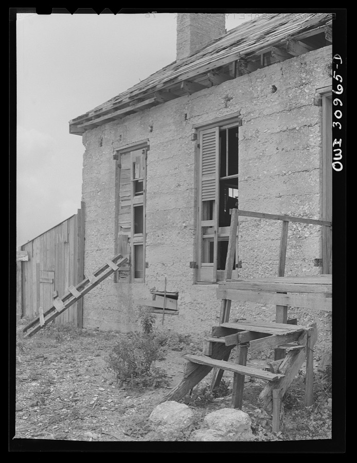
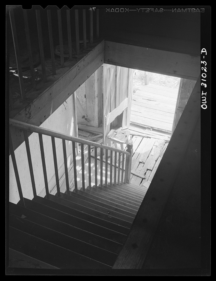
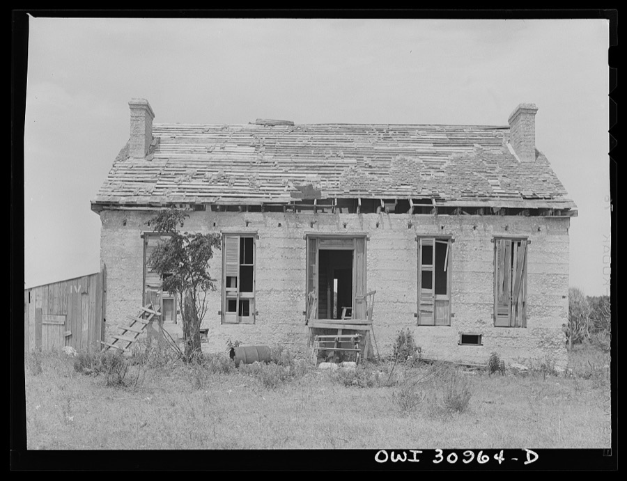
Every property in this county listed on the National Register of Historic Places, with the year it was listed and the federal nomination document.
| Photograph | Property | Type | Listed | Reference |
|---|---|---|---|---|
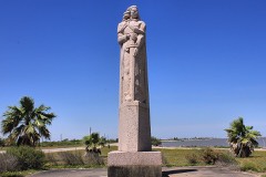 | La Salle Monument | object | 2018 | 100002757 |
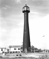 | Matagorda Island Lighthouse | structure | 1984 | 84001624 |
Drawn when these were printed as single large sheets: the town seen from the air, and the county divided into its farms with every owner named. Each opens the original at the Library of Congress.


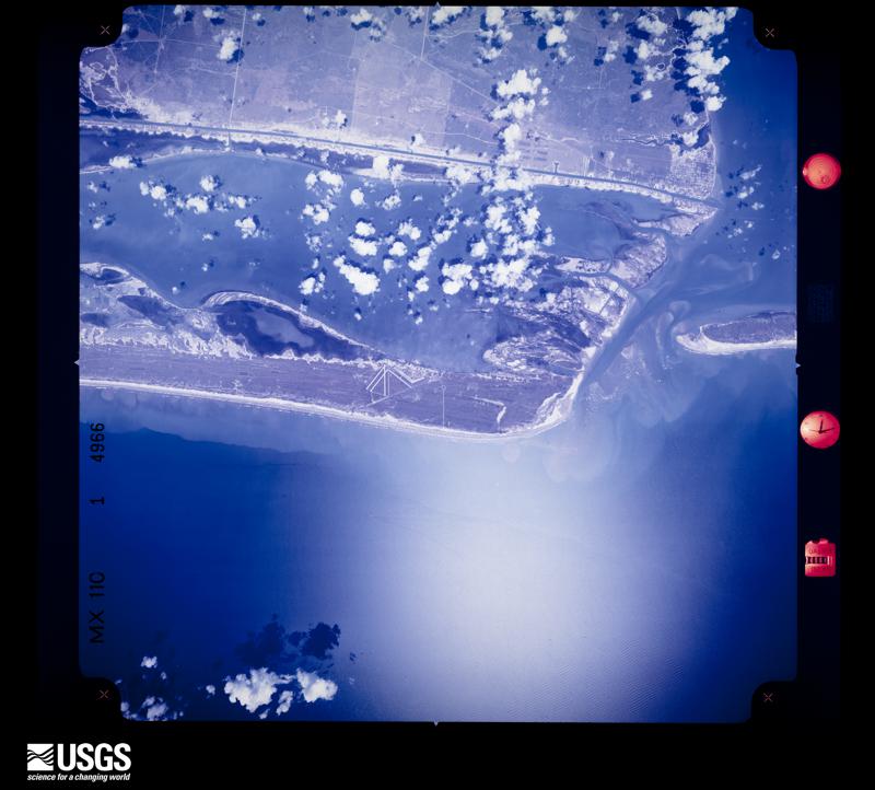
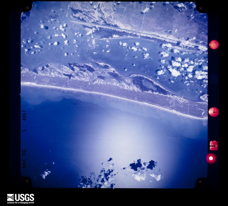
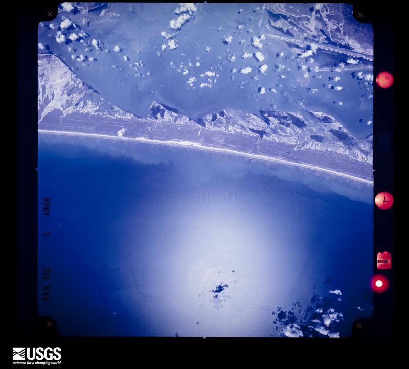
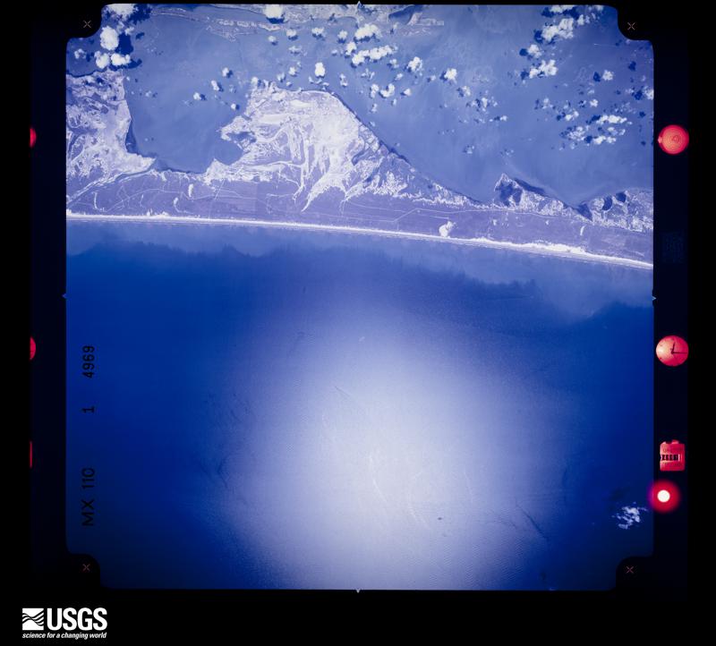
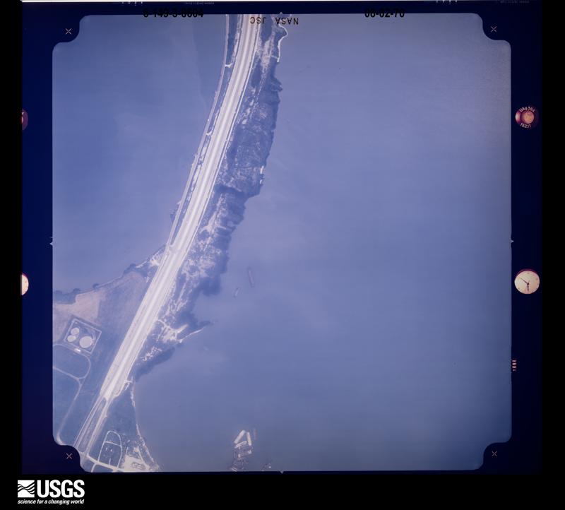
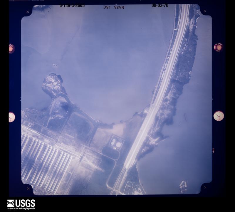
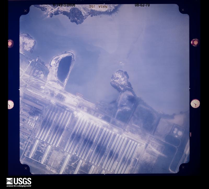
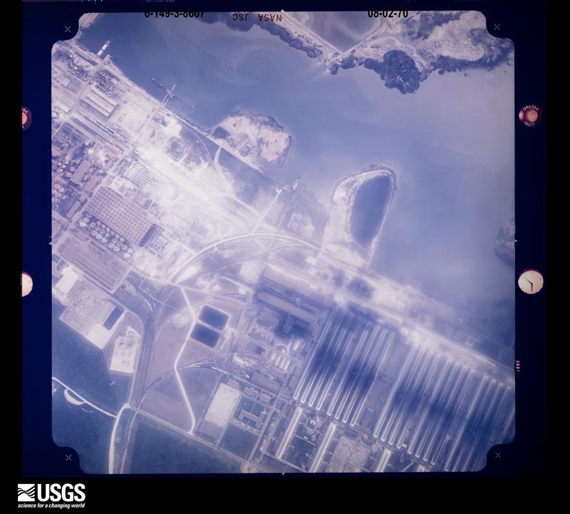
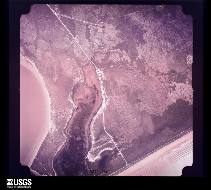
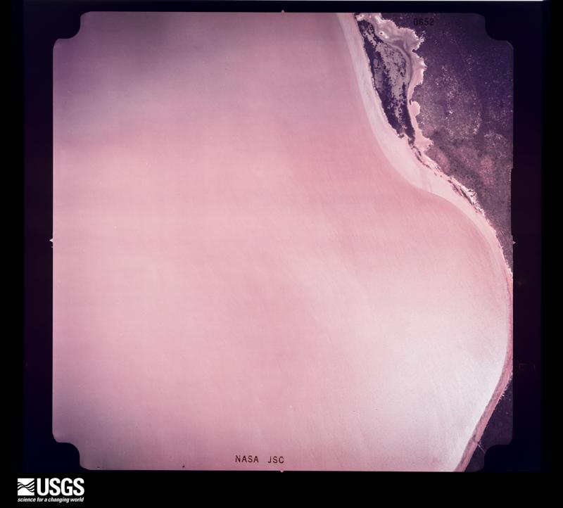
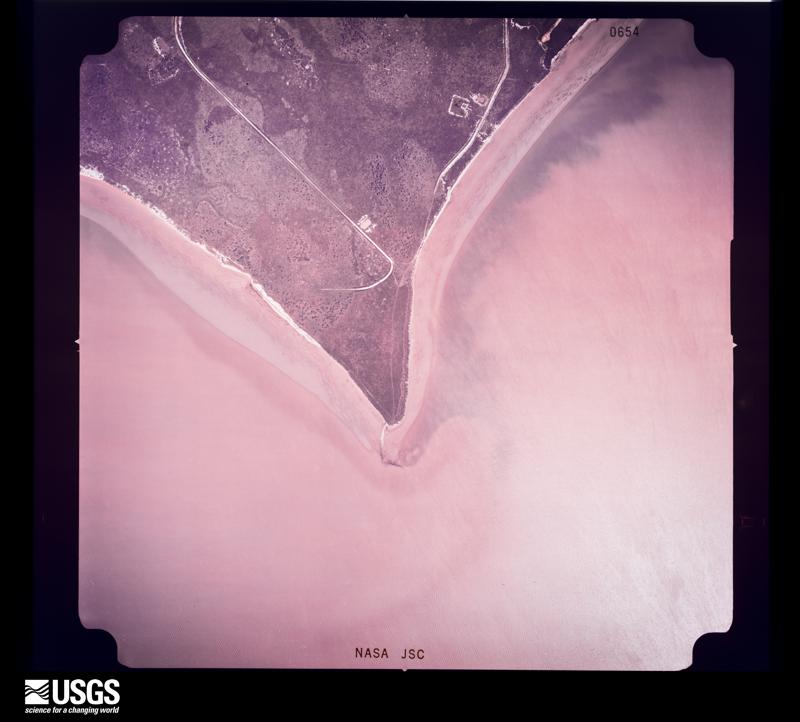
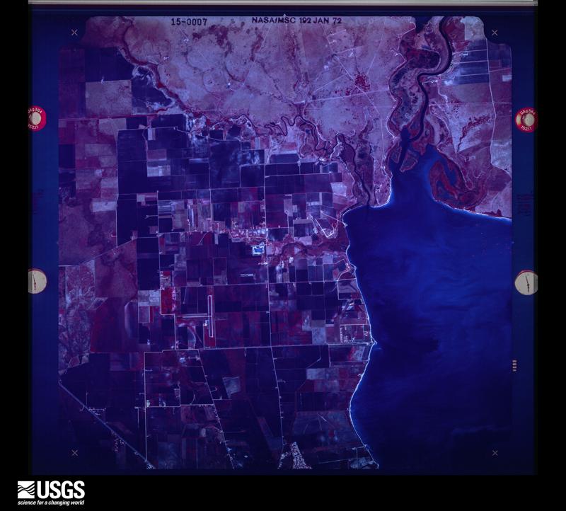
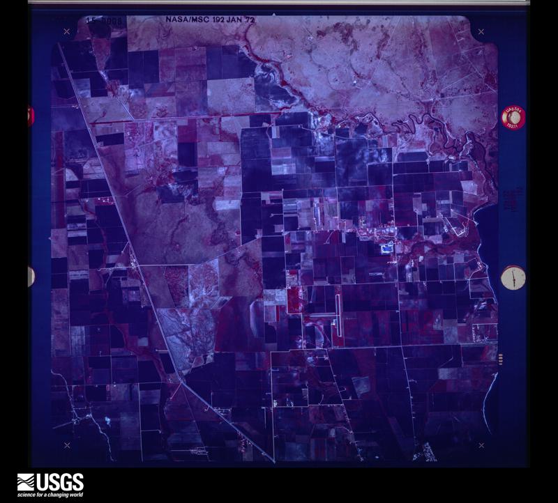
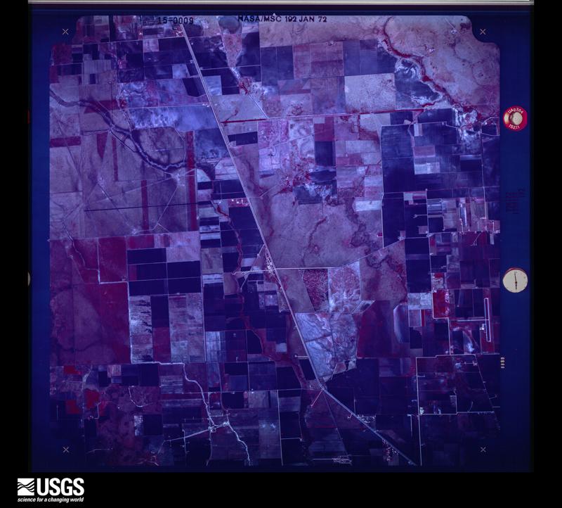
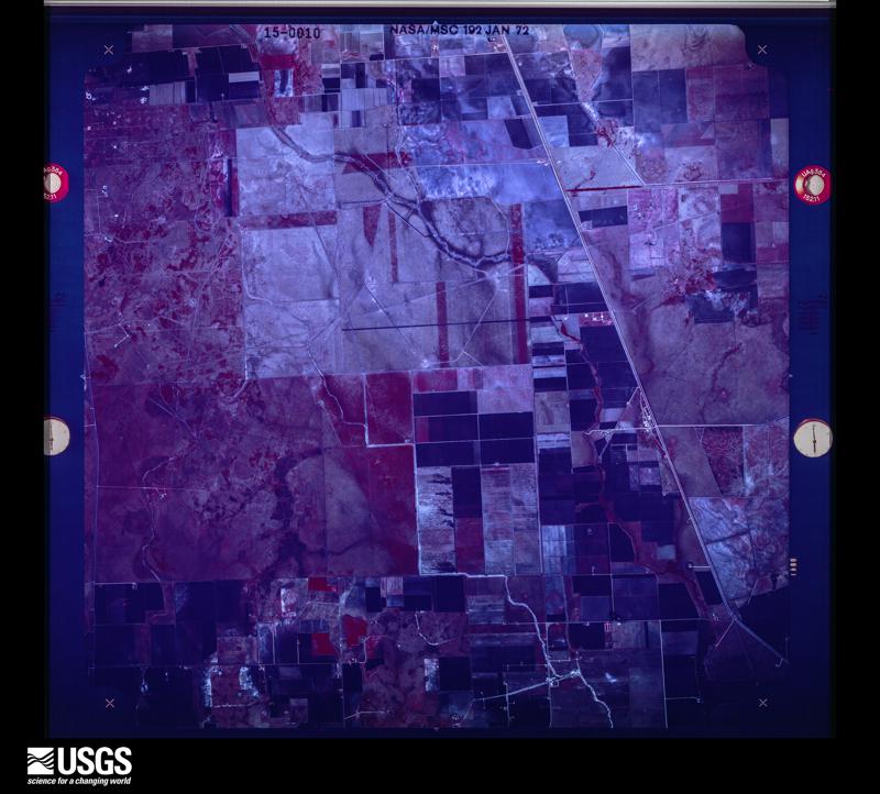
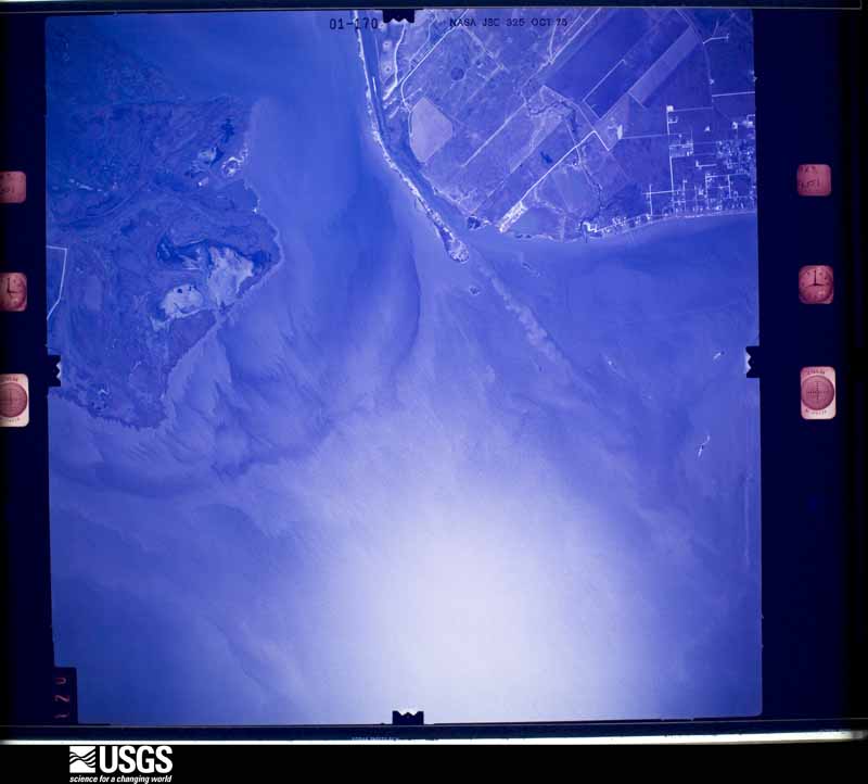
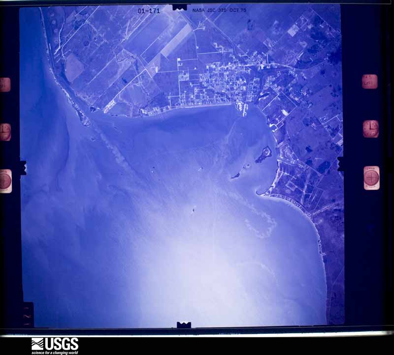
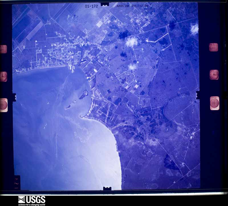
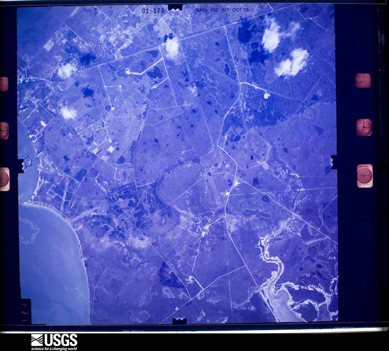
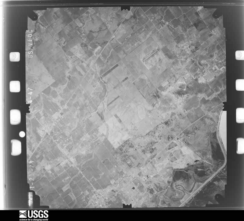
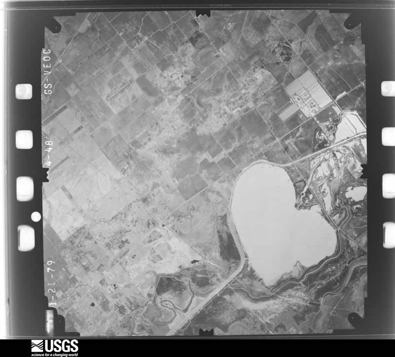
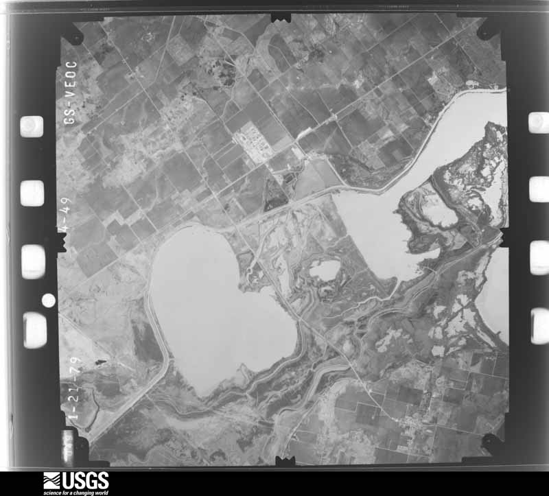
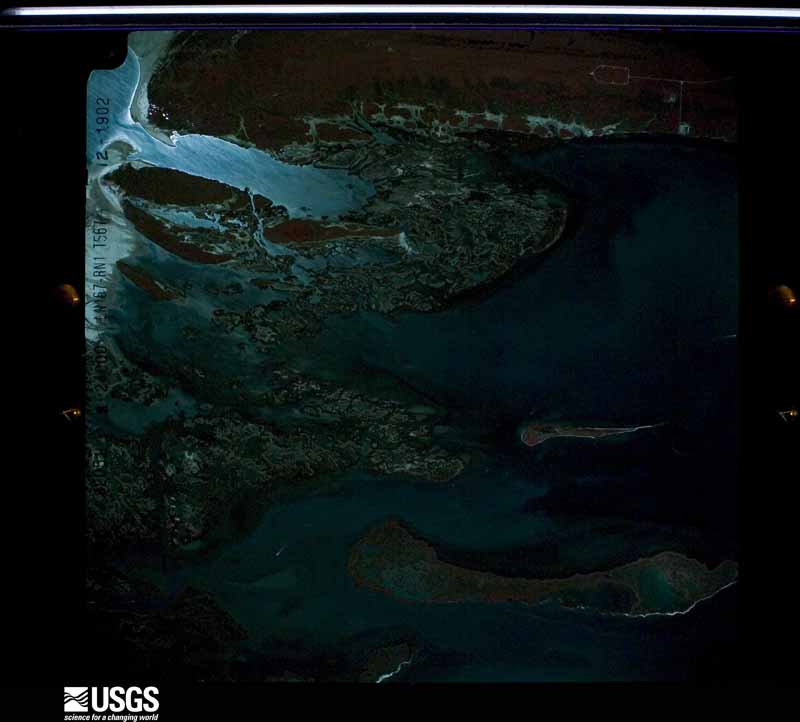
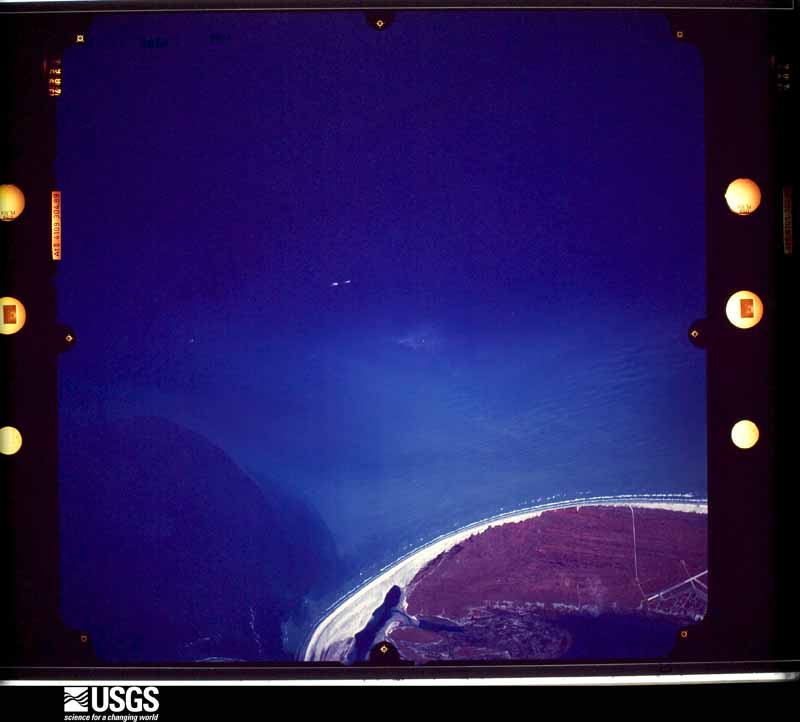
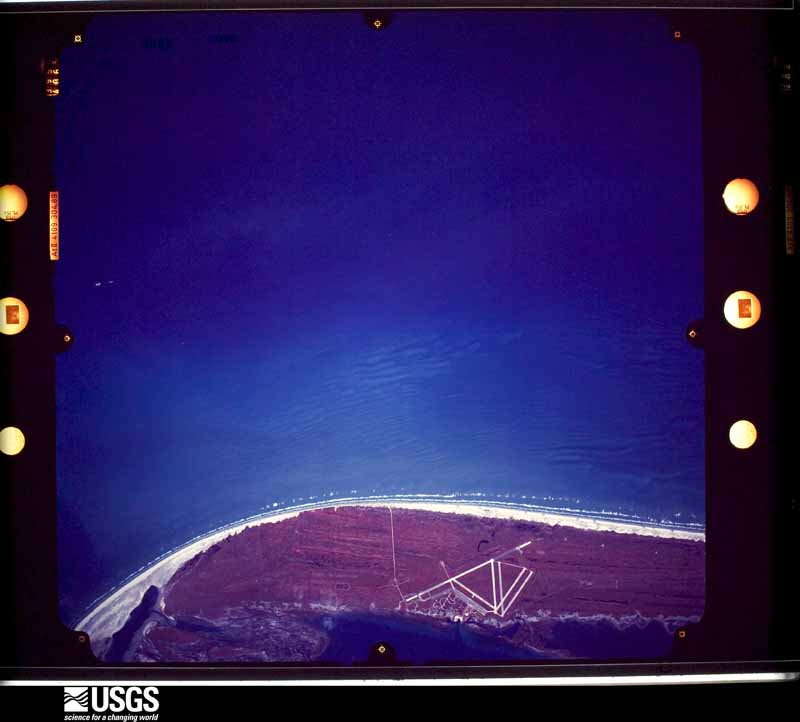
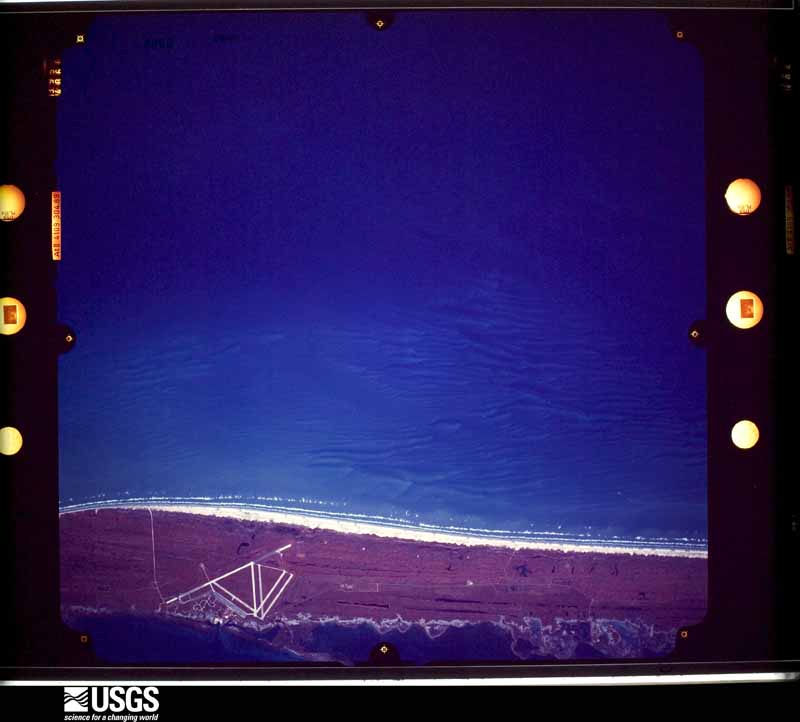
Flown by the U.S. Geological Survey between 1937 and 1989, the Aerial Photo Single Frames collection is the definitive mid-century view of the land: fields, roads and rivers as the camera saw them. The Survey holds 5,788 frames inside the rectangle that bounds this county; the 36 frames below were taken over the county itself, chosen across the decades of flights (at most four a year from that rectangle), so one flight cannot crowd out the rest. The full set is free to browse and download at EarthExplorer under the dataset Aerial Photo Single Frames.

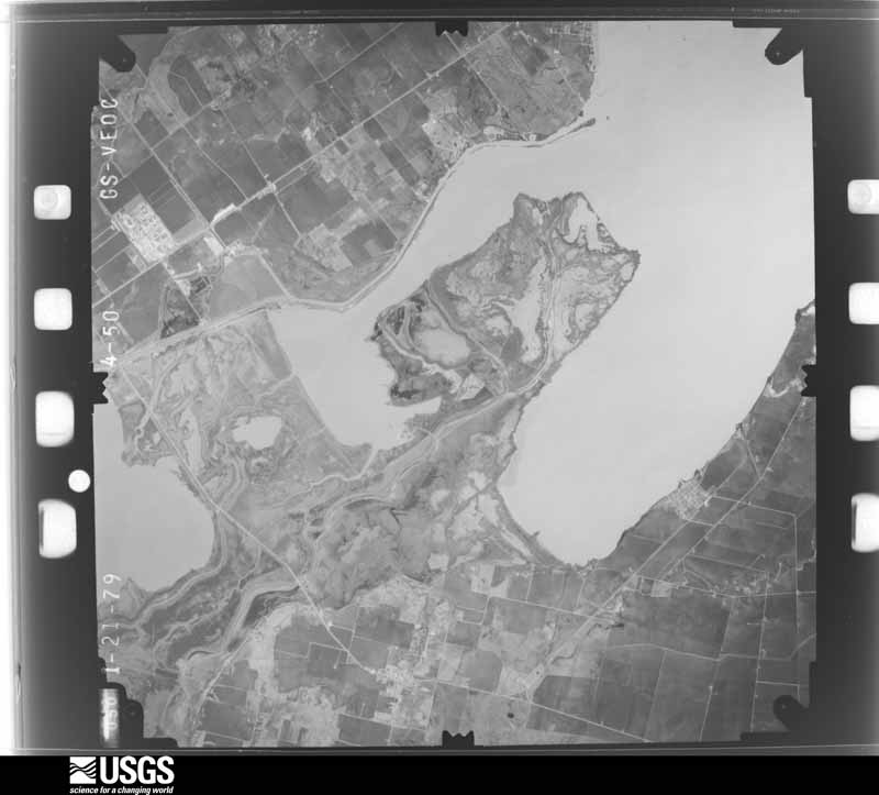
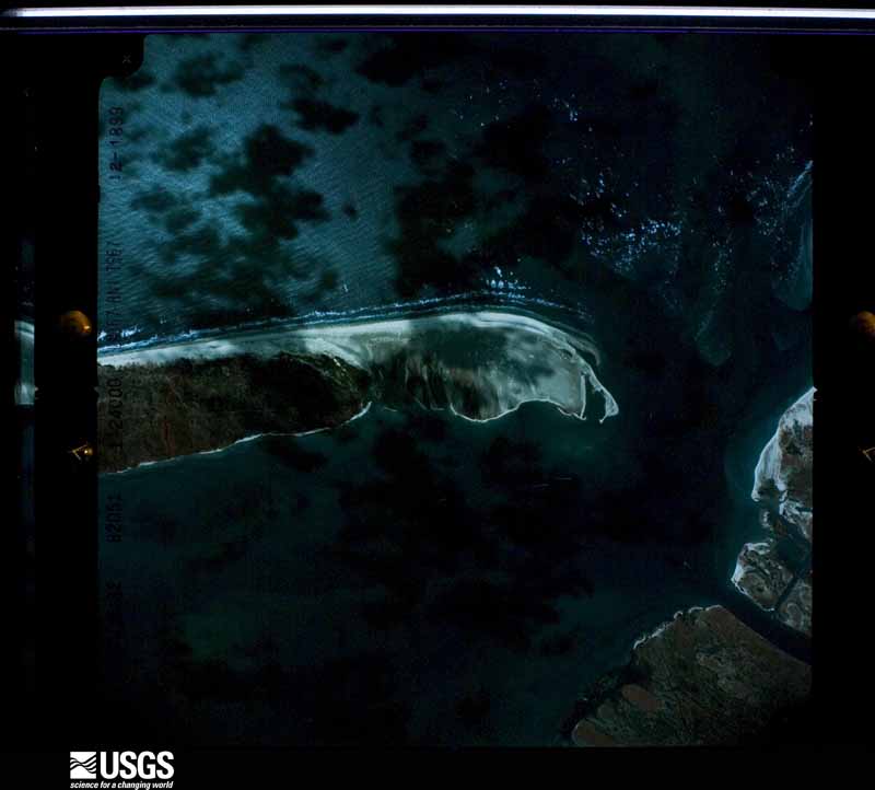
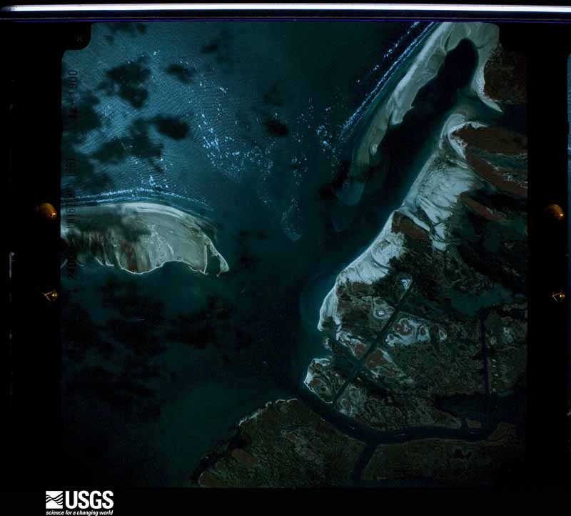
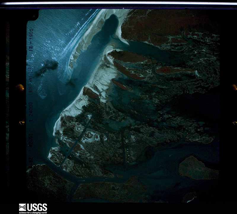

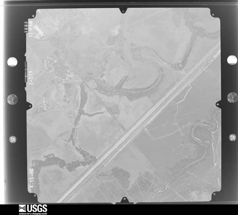
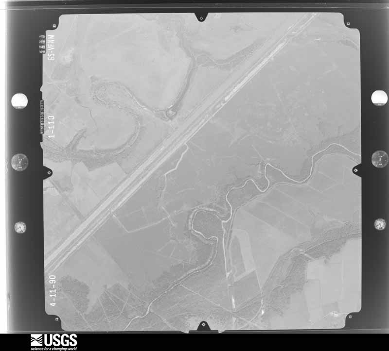
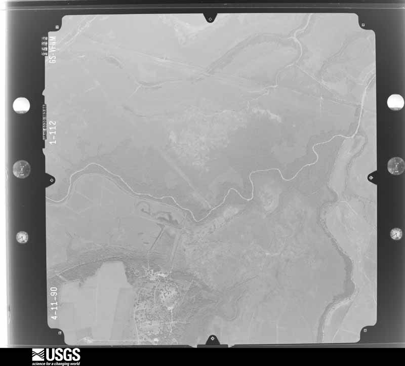
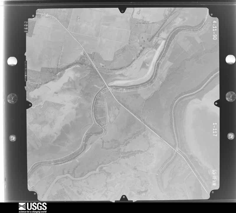
The thermometers that kept this county's weather, and the gages that measured the flow of its streams, as the federal records hold them. The extremes below are measured values from those records, not estimates.
Who lived here in 1950, one enumeration district at a time, as the Census Bureau described each district. Each row opens its official National Archives result, with Population Schedules and ED Maps available there.
Every wildfire the federal occurrence database records inside this county: 144 of them, burning about 22,765 acres. 10 started naturally and 1 was recorded as arson. Each settlement page carries the fires within five miles of it.
| Reported cause | Fires |
|---|---|
| Debris and open burning | 69 |
| Missing data/not specified/undetermined | 33 |
| Equipment and vehicle use | 12 |
| Natural | 10 |
| Power generation/transmission/distribution | 7 |
| Smoking | 5 |
| Recreation and ceremony | 3 |
| Misuse of fire by a minor | 3 |
| Arson/incendiarism | 1 |
| Railroad operations and maintenance | 1 |
The five largest, by the area the report gives. None of them was recorded as arson.
| Date | Cause | Size | Reported by | Name on the report |
|---|---|---|---|---|
| 2 December 2019 | Missing data/not specified/undetermined | 5,847 acres | Matagorda National Wildlife Refuge | MATAGORDA |
| 11 March 2009 | Missing data/not specified/undetermined | 3,000 acres | Aransas National Wildlife Refuge | SOUTH POWDERHORN |
| 19 April 2009 | Natural | 2,548 acres | Matagorda National Wildlife Refuge | DOLPHIN |
| 17 March 2001 | Natural | 2,344 acres | Aransas National Wildlife Refuge | ST.PATTY |
| 16 July 2008 | Missing data/not specified/undetermined | 1,400 acres | Aransas National Wildlife Refuge | TATTON ASSIST 2 |
| 15 April 2018 | Natural | 1,042 acres | Matagorda National Wildlife Refuge | MATAGORDA ISLAND |
| 5 June 2005 | Natural | 1,039 acres | Aransas National Wildlife Refuge | MI PANTHER POINT |
| 27 January 2009 | Missing data/not specified/undetermined | 1,000 acres | Texas A & M Forest Service | POWDERHORN |
Every settlement page carries the fires within five miles of it - see the settlement index below.
The NOAA Storm Events Database holds 163 reports for this county, causing 2 deaths, 8 injuries and about $3,543,000 in recorded property damage. Each settlement page carries the reports that name it.
| Kind of event | Reports |
|---|---|
| Thunderstorm Wind | 61 |
| Flash Flood | 34 |
| Tornado | 31 |
| Hail | 18 |
| Funnel Cloud | 7 |
| Flood | 5 |
| Waterspout | 2 |
| Lightning | 2 |
| Heavy Rain | 2 |
| Coastal Flood | 1 |
The most serious of them, by death, then injury, then recorded damage. The accounts are quoted exactly as the forecast office filed them.
| When | Event | Place named | Harm | What the report says |
|---|---|---|---|---|
| May 2015 | Lightning | Port Lavaca | 1 killed, 1 hurt | Man was struck by lightning after seeking shelter from the thunderstorm outside a store near the 500 block of Benavides Street. The man was revived by CPR, but later died from his injuries on July 2nd. |
| March 1990 | Thunderstorm Wind | not stated | 1 killed | no account filed |
| May 2024 | Thunderstorm Wind | Port Lavaca | 2 hurt, $350,000 | Emergency manager of Calhoun confirms at least 12 RVs were either damaged or completed destroyed with two confirmed injuries. There was also sporadic tree damage and a couple power poles leaning significantly. Time was estimated from radar and surrounding observations. |
| October 1972 | Tornado (F2) | not stated | 2 hurt, $25,000 | no account filed |
| May 1972 | Tornado (F2) | not stated | 1 hurt, $25,000 | no account filed |
| September 1967 | Tornado | not stated | 1 hurt, $25,000 | no account filed |
| September 1967 | Tornado (F2) | not stated | 1 hurt, $2,500 | no account filed |
| March 2018 | Tornado (EF1) | Seadrift | $1,000,000 | An EF-1 tornado touched down in north part of the community of Seadrift on Oakland Avenue and traveled to the east-northeast to North 3rd Street. The tornado flipped several mobile homes and completely destroyed one mobile home near the intersection of West Denver Avenue and North 4th Street. A truck and boat were capsized. Several homes experienced roof damage and several outbuildings were damaged or destroyed. Eight homes were destroyed with one home sustaining major damage and two homes receiving minor damage. Estimated peak wind from the tornado was 110 mph. |
| August 2017 | Flood | Tivoli Gulf Cst Arpt | $1,000,000 | Major flooding occurred along the Guadalupe River from Hurricane Harvey. Several homes were flooded in Calhoun County along River Road east of Tivoli. State Highway 35 was closed near Tivoli. Major flooding continued into the first few days of September. |
| April 2012 | Thunderstorm Wind | Port Lavaca | $250,000 | A NWS storm survey concluded that a downburst occurred in the city of Port Lavaca with estimated winds between up to 80 mph. Several homes in the path of the downburst sustained minor roof damage. Two telephone poles were snapped at their base. Numerous large tree limbs were down along with a few uprooted trees. The damage path was approximately a half mile wide and 2 miles in length, beginning near Alcoa Drive and extending northeast to near Travis Street to the south of Highway 35. |
| May 1982 | Tornado (F1) | not stated | $250,000 | no account filed |
| May 2012 | Thunderstorm Wind | Seadrift | $150,000 | NWS storm survey determined straight-line winds up to 90 mph struck a mobile home park on Lane Road east of Seadrift. One mobile home was flipped and destroyed. Three recreational vehicles were lifted and flipped on their sides. Four other RVs were blown off their blocks. There was damage to a bait shop also. |
| September 2012 | Tornado (EF0) | Port Lavaca | $100,000 | An NWS storm survey concluded an EF-0 tornado briefly touched down just west of Highway 35 at Farm to Market Road 3084. A Tractor Supply store experienced minor damage which included losing gutters off the building and a rooftop air conditioning unit being flipped. Winds were estimated at 65 mph. |
| October 2006 | Tornado (F1) | Magnolia Beach | $100,000 | Tornado formed just south of Magnolia Beach, near C.R. 2760 and Highway 316. The tornado moved quickly north into northwest Magnolia Beach. Damage was primarily observed along La Lucia Street. Roughly 12 homes received damage, 2 of which suffered major damage and loss of roofs. Three trapped residents had to be rescued from their homes, however no injuries were reported. Approximately 6 power poles were downed and several cars were damaged. Some trees were completely stripped of foliage and limbs.| |
| May 2021 | Thunderstorm Wind | Kamey | $50,000 | A microburst resulted in localized damage at a residence outside of Port Lavaca, overturning a travel trailer, uprooting an air conditioning unit, damaging an exterior power meter to the home, and producing tree damage. |
| August 2011 | Tornado (EF0) | Magnolia Beach | $30,000 | An NWS survey concluded a short lived tornado touched down near Alamo Beach Street and Lee Street in Alamo Beach. Near this point two homes were observed with small portions of their roofs peeled back. Sheet metal was also torn off the side of one of the homes and a window was broken. A third home near the area was observed to have missing shingles. The tornado continued west to a point near F. M. 2717 between Fannin and East Sunrise Streets. At this point, a poorly constructed mobile home with two floors was observed to have significant damage. The top floor was taken off and deposited to the west-southwest. The bottom floor was partially shifted off the blocks but remained upright. A brick facade on the west side of the home collapsed. Maximum winds were estimated to be around 75 mph with a path length of one quarter of a mile and path width of 100 yards. |
| November 1961 | Tornado (F2) | not stated | $25,000 | no account filed |
| January 2011 | Thunderstorm Wind | Seadrift | $20,000 | A large light pole was snapped at a baseball field. An awning was blown off of a business and into boats at the marina. |
| November 2007 | Lightning | Palo Alto Beach | $15,000 | Lightning struck a transmission and distributing line near the intersection of F.M. 2143 and Highway 172. Eight spans of primary wire were destroyed along with insulators. Puncture holes in the cooling fans also occurred. Power was knocked out to the Olivia and Port Alto communities. |
| August 2017 | Tornado (EF0) | Seadrift | $10,000 | A brief tornado touched down around 3 miles east-northeast of Seadrift. The tornado destroyed a shed and a carport. |
| May 2015 | Thunderstorm Wind | Port Lavaca | $10,000 | TCOON site at Port Lavaca measured a gust to 58 mph. Power lines were blown down in Port Lavaca causing a power outage for the city. |
| April 2012 | Hail | Seadrift | $10,000 | Nickel to quarter sized hail was reported in Seadrift. |
| July 2012 | Flood | Long Mott | $10,000 | Roadways were closed due to flooding along Farm to Market Road 1090 northwest of Port Lavaca between Maxwell Ditch Road and Royal Road, and the bridges intersecting Oakglen Drive and Sweetwater Road near the Chocolate Bayou southwest of Port Lavaca. |
| October 2006 | Tornado (F0) | Palo Alto Beach | $10,000 | Storm which produced a brief tornado over the Magnolia Beach area continued north across Matagorda Bay and back into Calhoun County, producing another tornado near Olivia. Damage was primarily observed around C.R. 311, where a trampoline was ripped apart and left hanging on a utility pole guide wire, a boat was overturned on top of a truck, and windows were blown out of another truck and mobile home.| |
| April 2004 | Tornado (F0) | Long Mott | $10,000 | NWS storm survey concluded tornado touched down in Long Mott and crossed Highway 185. Tornado damaged a home and adjacent barn as well as uprooted several large trees. Eleven power poles along Highway 185 were downed. An ultra-light aircraft also sustained damage. |
| March 1997 | Tornado (F0) | Indianola | $10,000 | no account filed |
| May 2024 | Tornado (EF1) | Port Lavaca Arpt | $8,000 | Storm survey confirmed EF-1 tornado with max winds of 105 mph began just north of Port Lavaca and continued southeast. Damage to several structures as well as widespread tree damage was notes. Some trees uprooted. |
| April 2012 | Thunderstorm Wind | Port O Conner | $5,000 | Estimated 60 mph winds occurred on the south side of Port O'Connor. |
| April 2012 | Hail | Seadrift | $5,000 | Quarter sized hail reported at the Bayside Express Gas Station in Seadrift. |
| January 2011 | Thunderstorm Wind | Port Lavaca | $5,000 | A few asphalt shingles were blown off of residence. |
| May 2011 | Thunderstorm Wind | Port Lavaca | $5,000 | Minor wind damage occurred near Travis Middle School in Port Lavaca. |
| November 2007 | Thunderstorm Wind | Magnolia Beach | $5,000 | TXDOT barricades were knocked over. Damage to a porch on a home also occurred. A trailer was also flipped over by the winds. |
| February 1994 | Thunderstorm Wind | Seadrift | $5,000 | Several large trees were uprooted just east of Seadrift by strong winds from a thunderstorm. Residents in and near Seadrift reported large limbs knocked off trees as well. |
| March 1997 | Tornado (F0) | Port O Connor | $5,000 | no account filed |
| June 1973 | Tornado (F1) | not stated | $2,500 | no account filed |
| August 1970 | Tornado (F2) | not stated | $2,500 | no account filed |
| June 1955 | Tornado (F1) | not stated | $2,500 | no account filed |
| August 2008 | Thunderstorm Wind | North Seadrift | $2,000 | no account filed |
| June 2021 | Thunderstorm Wind | Port Lavaca Arpt | $1,000 | Multiple 3 to 6 inch diameter tree limbs were blown. Heavy machinery in the yard was moved. |
| April 2015 | Thunderstorm Wind | Port Lavaca | $1,000 | Spotters reported tree limbs up to 4 inches in diameter down across the northern portions of Port Lavaca. |
| June 2024 | Thunderstorm Wind | Seadrift | $750 | A huge tree uprooted and 3 windows broken at a residence. |
| September 1967 | Tornado (F1) | not stated | $250 | no account filed |
| June 2024 | Flash Flood | Pt Comfort | - | Calhoun Sheriff's Office reported local street flooding in Point Comfort along with hail. No estimate on hail size. |
| June 2024 | Thunderstorm Wind | Olivia | - | Tempest weather station Co Rd 312 measured a wind gust of 64 mph. |
| April 2024 | Thunderstorm Wind | Fulghums Landing | - | Tempest weather station in Calhoun Island measured a wind gust of 64 mph. |
| June 2024 | Funnel Cloud | Port O'Connor | - | Law enforcement officials reported a funnel cloud near Port O'Connor. Pictures were taken and posted on social media. |
| June 2024 | Thunderstorm Wind | Indianola | - | Two boats were capsized just offshore. An RV and shed were completely destroyed along State Highway 316. A home along Brighton Ave lost a few shingles and farther south along Comal St, a power pole was snapped in half and others were damaged to a lesser extent. All damage over land was strewn to the southeast, consistent with straight-line winds. |
| April 2023 | Thunderstorm Wind | Fulghums Landing | - | Mesonet site east of Seadrift measured a gust to 61 mph. |
| May 2023 | Flash Flood | Port Lavaca | - | Port Lavaca Police Department reported several roads flooded across the city along with Farm to Market Road 1090. Barricades were needed. |
| September 2023 | Thunderstorm Wind | Port Lavaca Arpt | - | Calhoun County Airport AWOS measured a gust to 59 mph. |
| June 2021 | Thunderstorm Wind | Pt Comfort | - | Mesonet site at Point Comfort measured a gust to 64 mph. |
| June 2021 | Thunderstorm Wind | Kamey | - | Mesonet station northwest of Port Lavaca measured a gust to 61 mph. |
| July 2021 | Heavy Rain | Green Lake | - | Damage estimates due to sorghum and cotton losses in the county were at 3.64 million dollars and 1.50 million dollars respectively across the county due to heavy rainfall. A 55 percent loss occurred with the sorghum crop and 20 percent loss with the cotton crop. |
| May 2021 | Flash Flood | Port Lavaca | - | Heavy rain and flooding resulted in numerous road closures, stranded vehicles, and water rising into homes across multiple locations in the northern part of Calhoun County. |
| September 2021 | Flood | Port O'Connor | - | Band of heavy rain from Tropical Storm Nicholas moved across the Port O'Connor area during the late afternoon and evening hours on the 13th. Total rain amounts around 7 inches caused flooding of roads in the Port O'Connor area. |
| April 2020 | Thunderstorm Wind | Port Lavaca Arpt | - | Calhoun County Airport AWOS measured a gust to 59 mph. |
| March 2018 | Thunderstorm Wind | Seadrift | - | TCOON mesonet station at Seadrift Harbor measured a gust to 60 mph. |
| April 2018 | Thunderstorm Wind | Port O Conner | - | TCOON site at Port O'Connor measured a gust to 63 mph. |
| April 2018 | Thunderstorm Wind | Magnolia Beach | - | Mesonet site at Alamo Beach measured a gust to 68 mph. |
| April 2017 | Flash Flood | Pt Comfort | - | Water covered the roadways on Pease and Runnels Streets in Point Comfort. |
The Survey's mineral resources record lists 4 workings inside this county. All of them still produce. Each settlement page carries the workings within five miles of it.
| Commodity | Workings |
|---|---|
| Stone, Crushed/Broken | 2 |
| Calcium | 1 |
| Aluminum | 1 |
The least common of them first, because a county's hundredth gravel pit says nothing its first ten did not.
| Where | Site | Commodity | Status | Recorded |
|---|---|---|---|---|
| (Facility) Point Comfort Refinery | Aluminum | Plant | ||
| Parker Brothers Oyster Shell Dredge | Calcium | Producer | ||
| Lone Star Industries | Stone, Crushed/Broken | Producer | ||
| Trinity No 1 Dredge | Stone, Crushed/Broken | Producer |
Named settlements recorded in the Geographic Names Information System, each with the topographic sheets covering it. Villages, hamlets and abandoned places alike. Each is shown with the nearest named watercourse or landform and the survey quadrangle it falls on. The 1 place that was also surveyed for fire insurance comes first, with the number of atlases and photographs held for them.
Port Lavaca census division · 77979 · On Lynn Bayou · Port Lavaca West quadrangle
8 sheets, 1952 to 1995
Fire insurance: 2 atlases
Port Lavaca census division · 77979 · Port Lavaca East quadrangle
10 sheets, 1952 to 1995
Port Lavaca census division · 77979 · Port Lavaca West quadrangle
8 sheets, 1952 to 1995
Point Comfort census division · 77465 · Turtle Bay quadrangle
9 sheets, 1952 to 1995
Port Lavaca census division · 77979 · On Indianola Island · Keller Bay quadrangle
9 sheets, 1951 to 1984
Port Lavaca census division · 77979 · Port Lavaca East quadrangle
10 sheets, 1952 to 1995
Point Comfort census division · 77978 · Point Comfort quadrangle
10 sheets, 1952 to 1995
Point Comfort census division · 77465 · Turtle Bay quadrangle
9 sheets, 1952 to 1995
Kamey-Sixmile census division · 77979 · On Sixmile Creek · Kamey quadrangle
9 sheets, 1952 to 1995
8 topographic sheets and 2 fire insurance atlases, 1927 to 1940