 Block
BlockFrom the record
2 National Register listings published here.
Sources: the National Register database, National Park Service
30 topographic sheets and 12 fire insurance atlases across 2 places.
2 National Register listings published here.
Sources: the National Register database, National Park Service
Every property in this county listed on the National Register of Historic Places, with the year it was listed and the federal nomination document.
| Photograph | Property | Type | Listed | Reference |
|---|---|---|---|---|
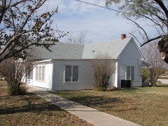 | Robert E. Howard House | building | 1994 | 94000984 |
 | Texas and Pacific Railway Depot | building | 2012 | 12000194 |
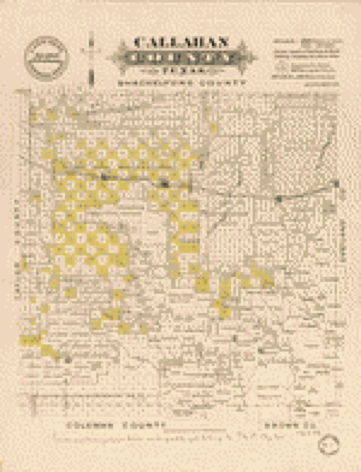
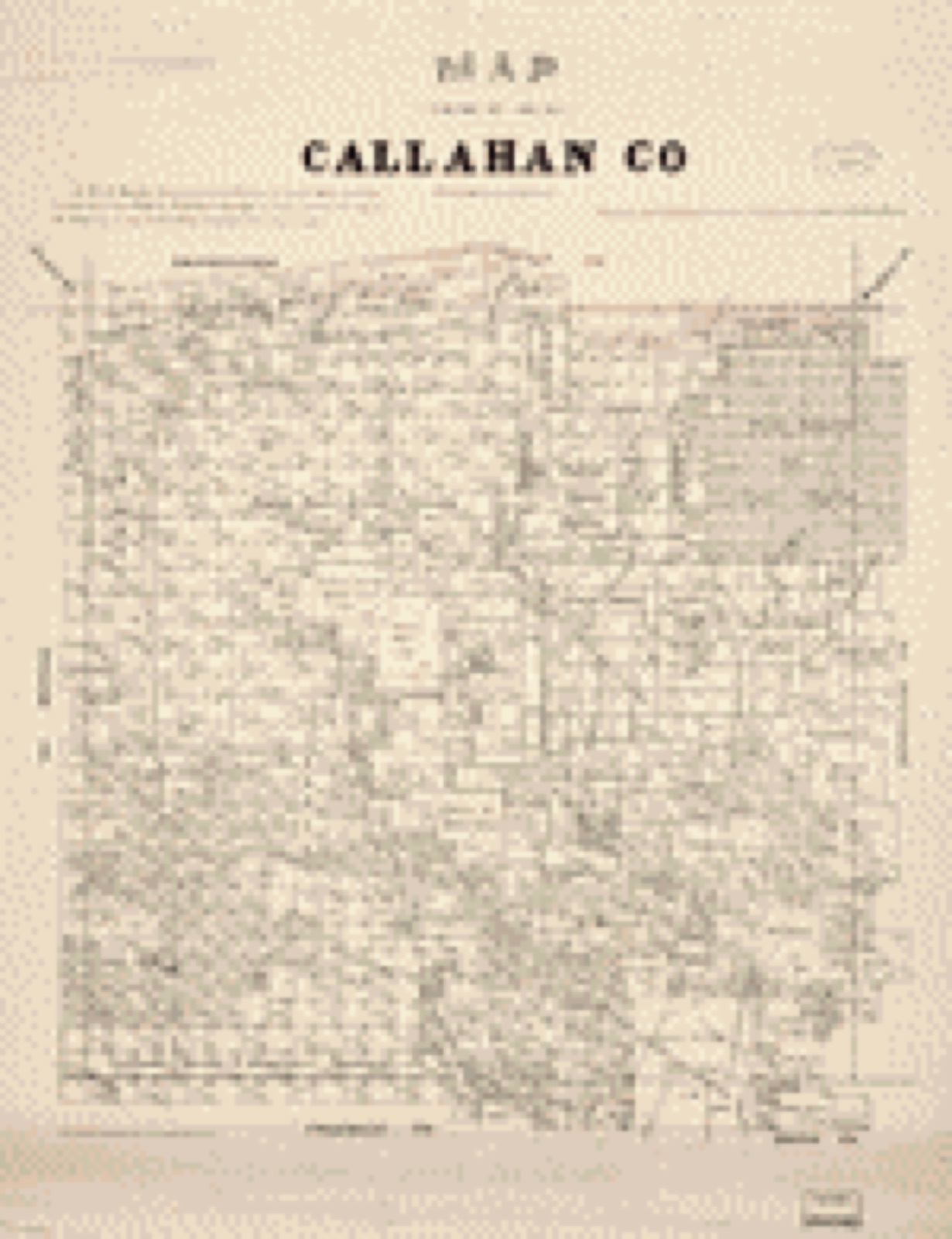
Drawn when these were printed as single large sheets: the town seen from the air, and the county divided into its farms with every owner named. Each opens the original at the Library of Congress.
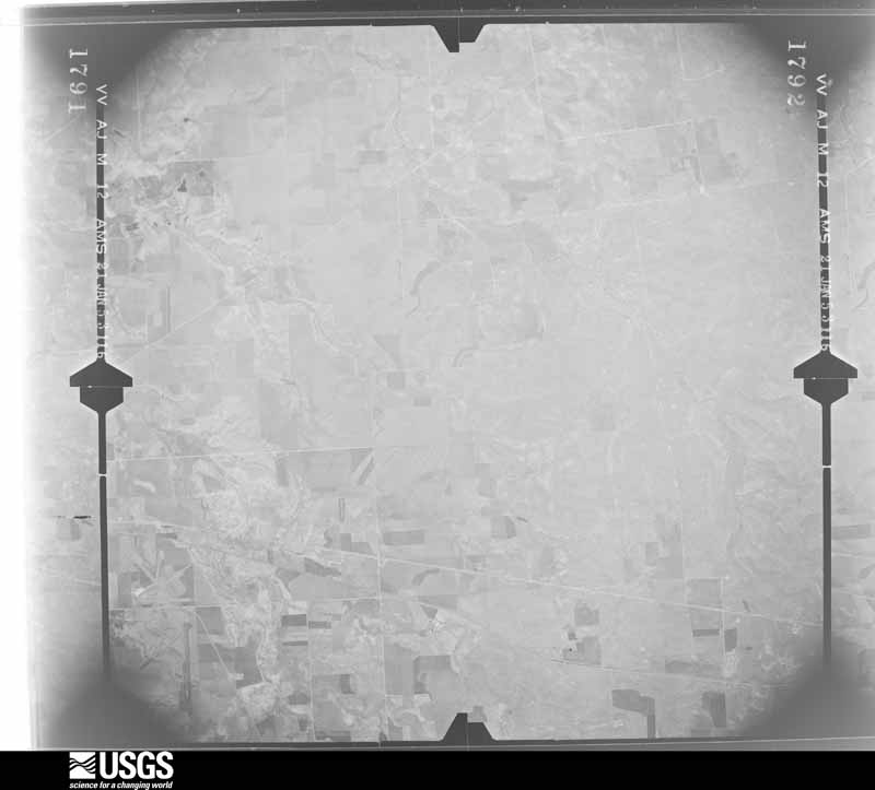
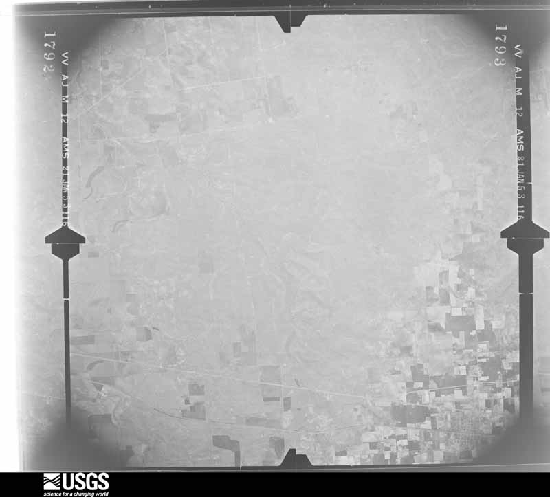
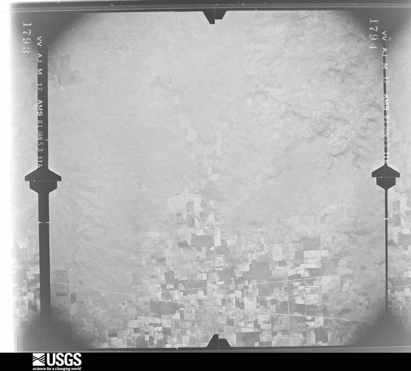
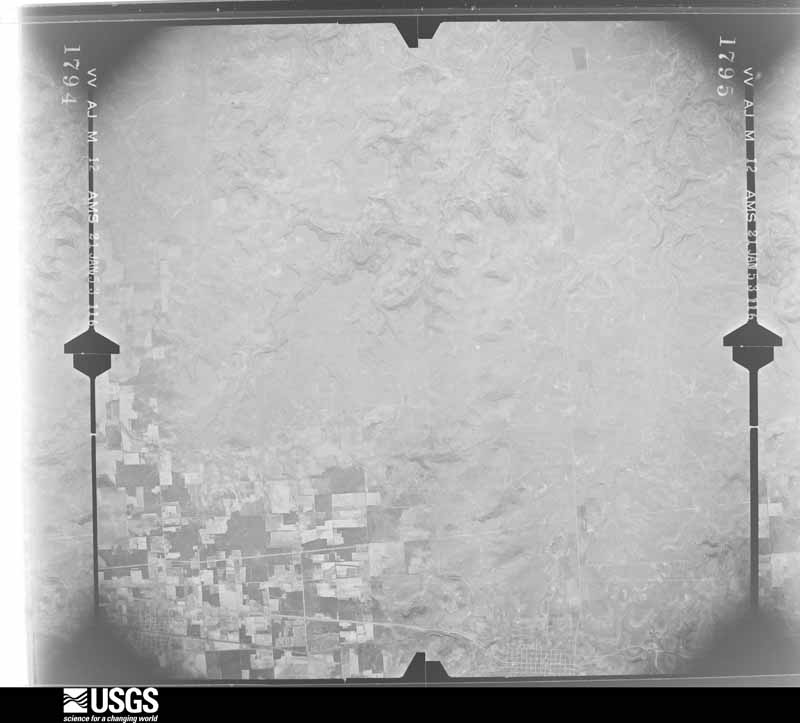
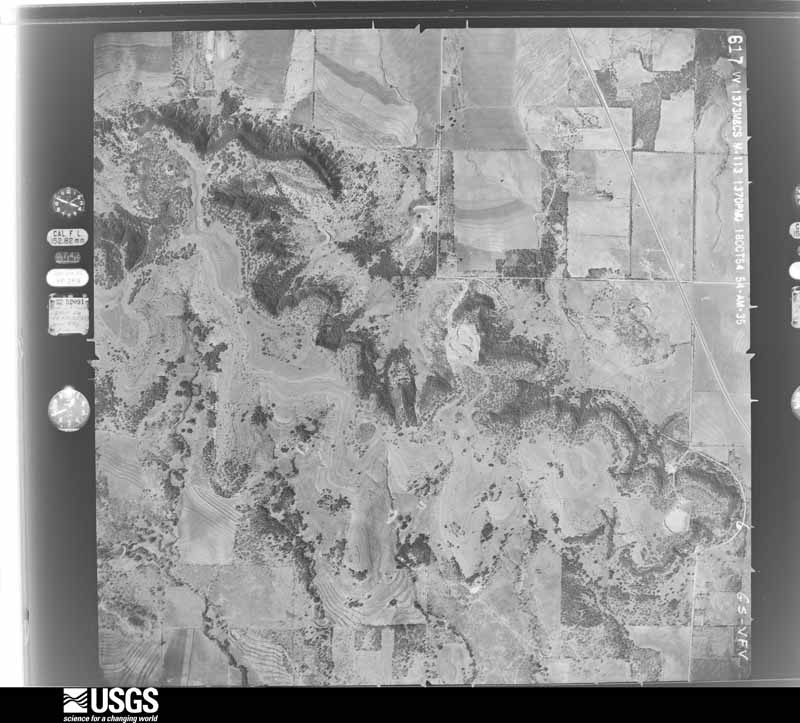
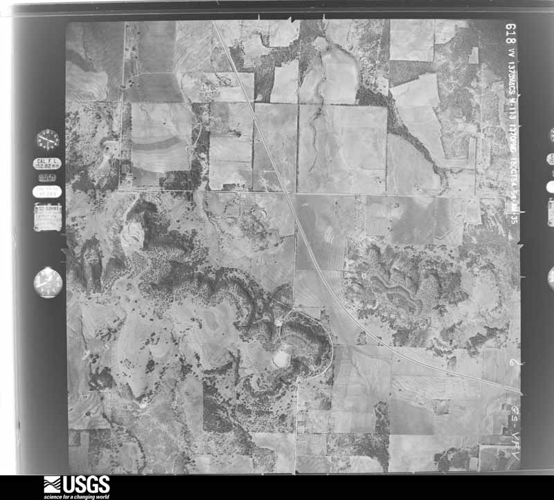
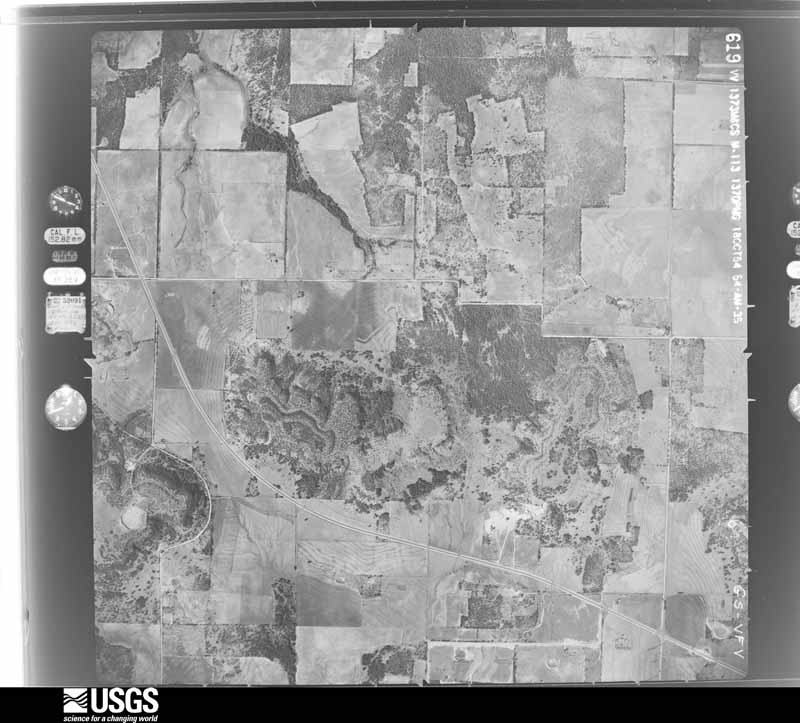
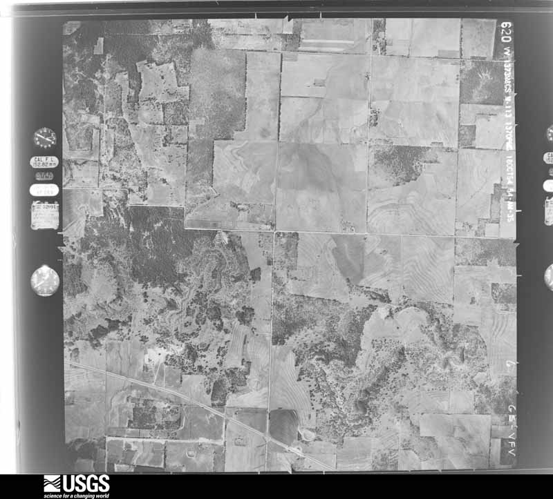
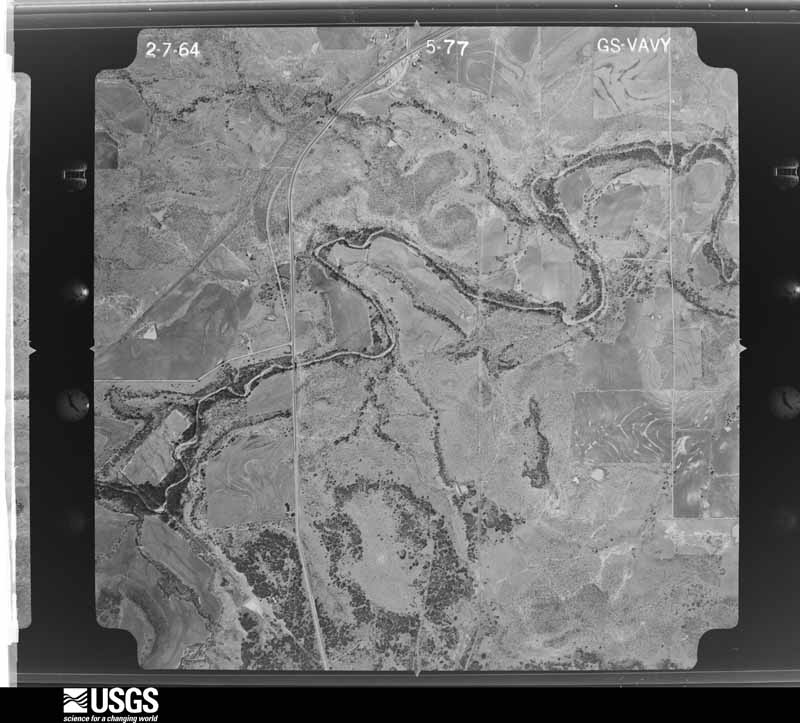
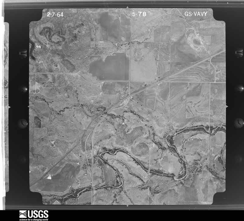
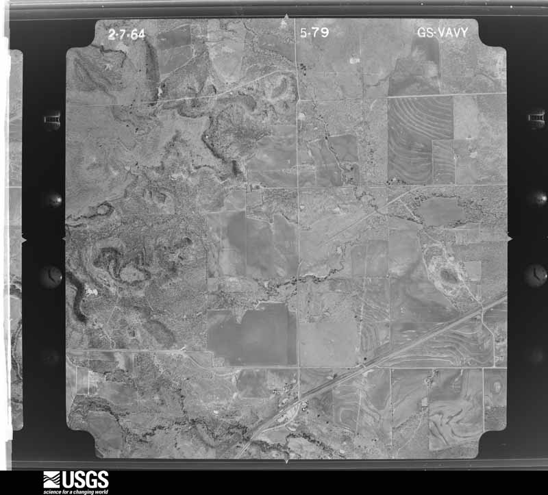
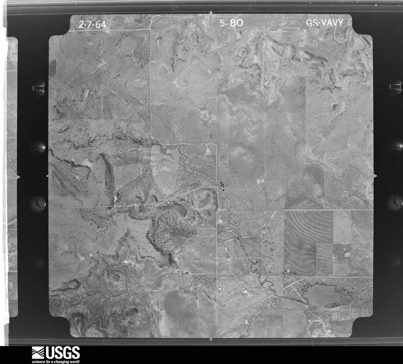
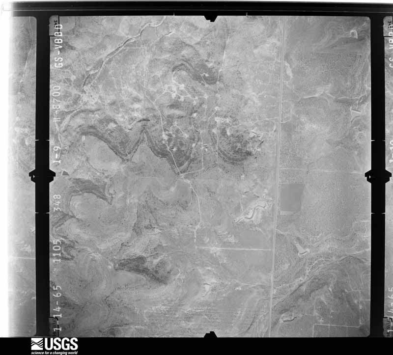
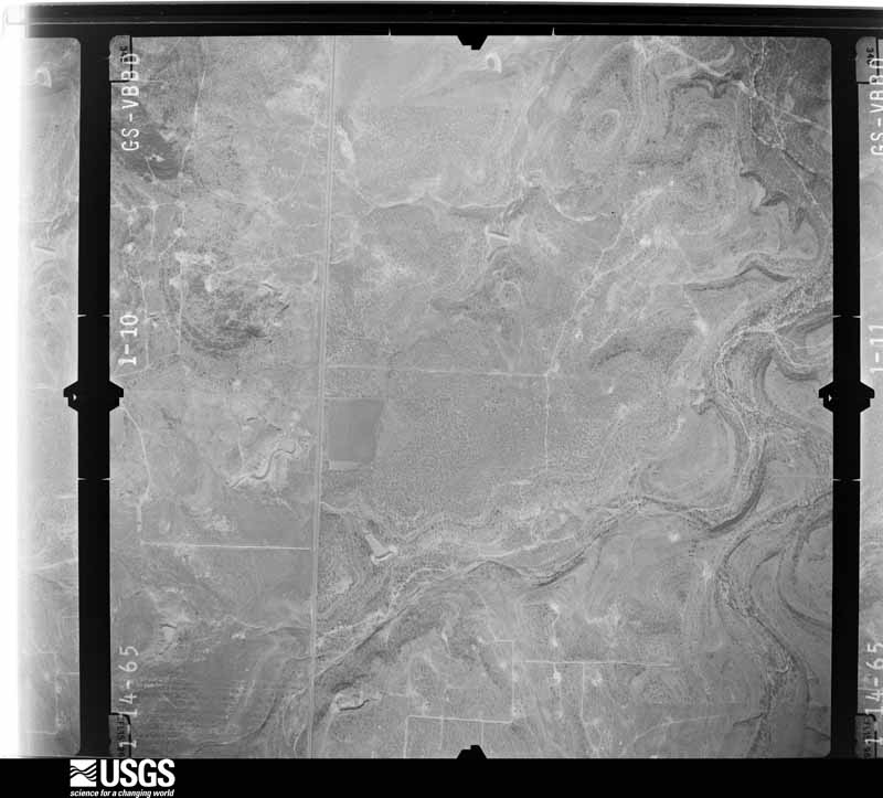
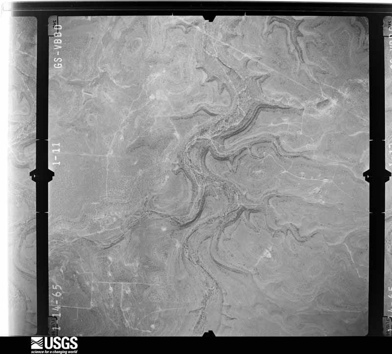
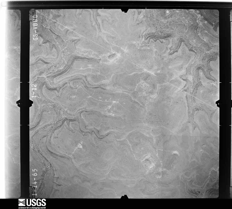
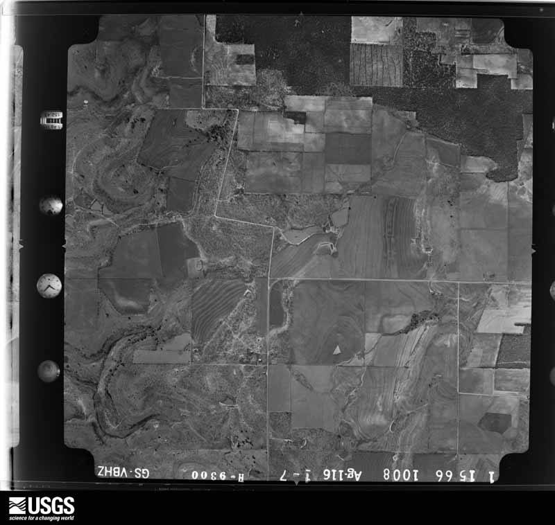
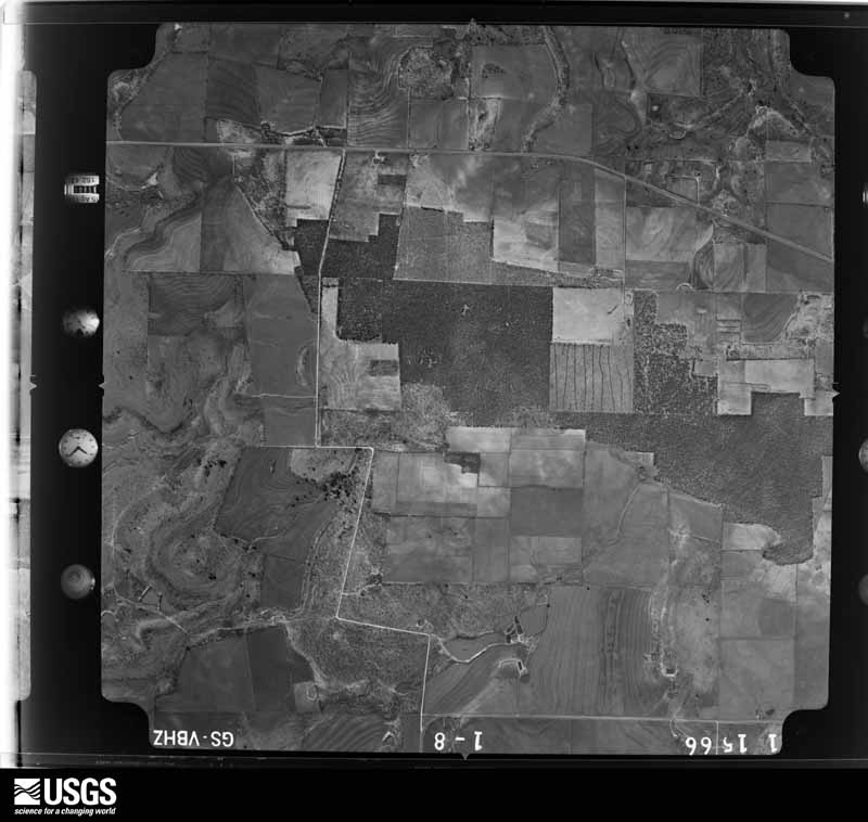
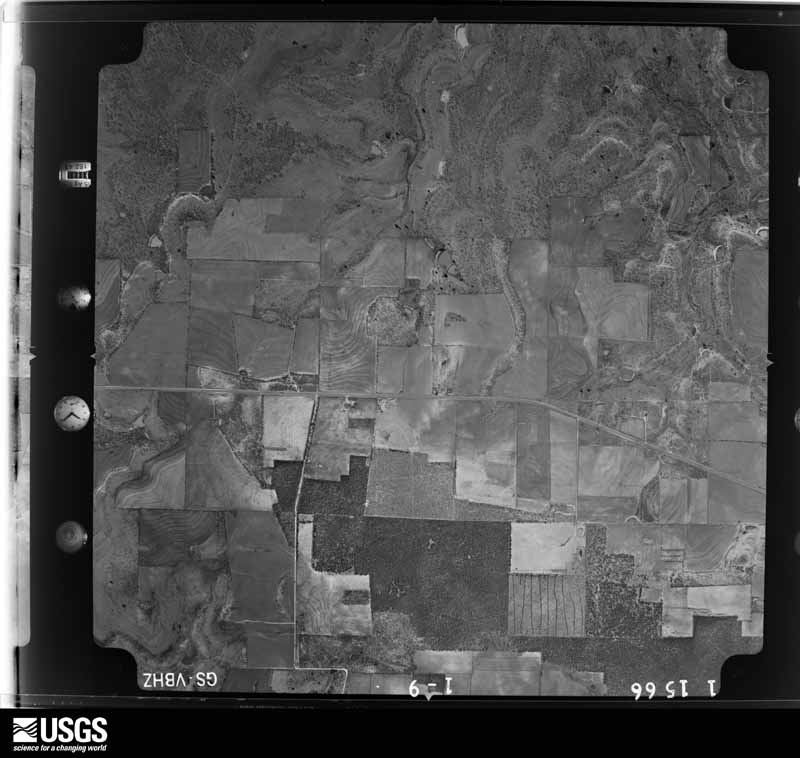
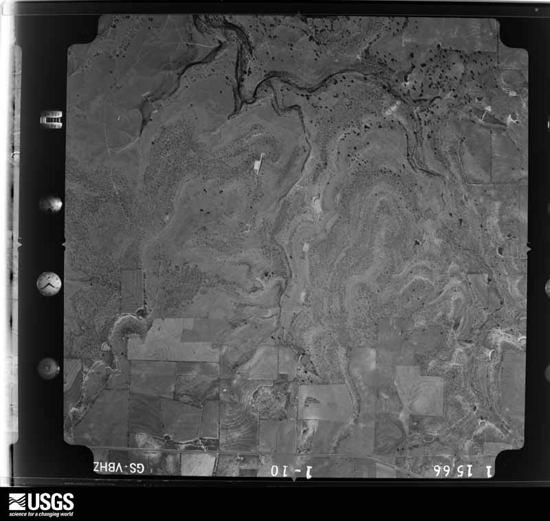
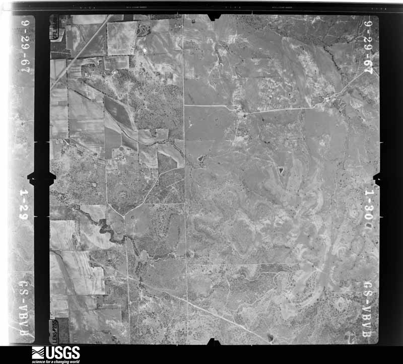
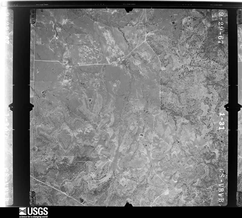
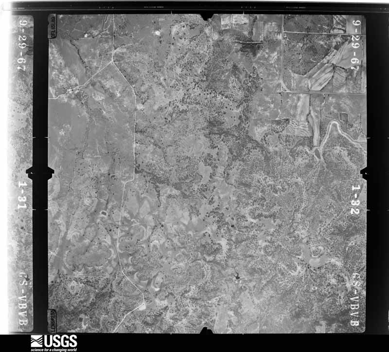
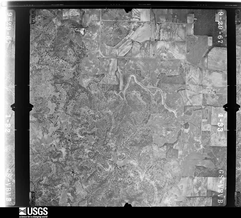
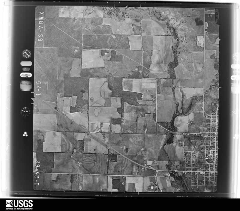
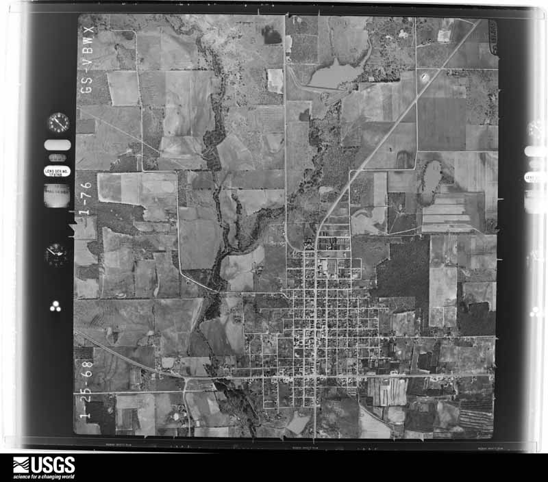
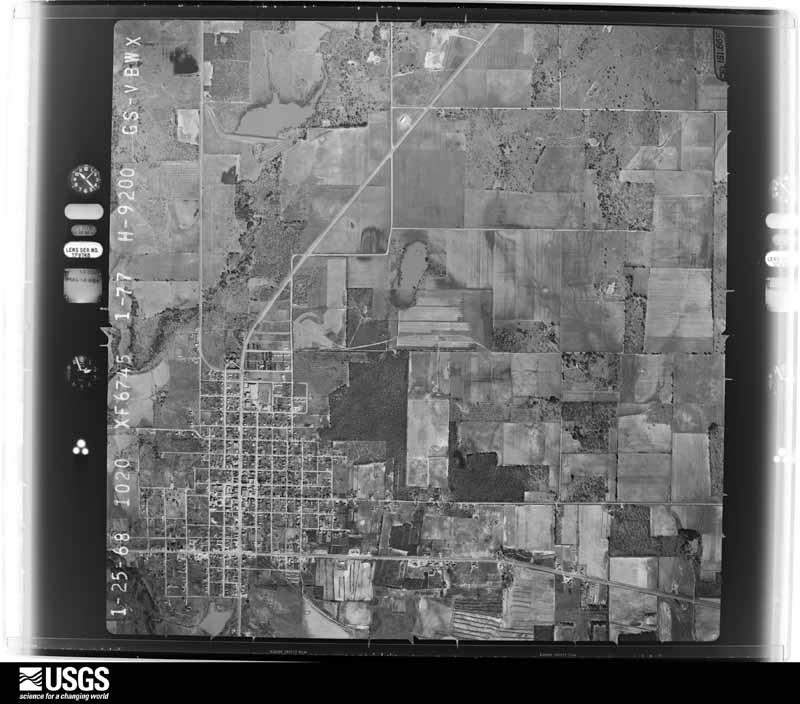
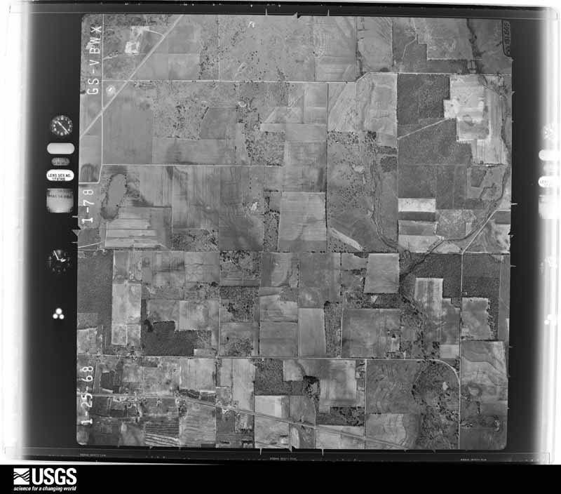
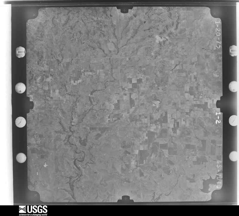
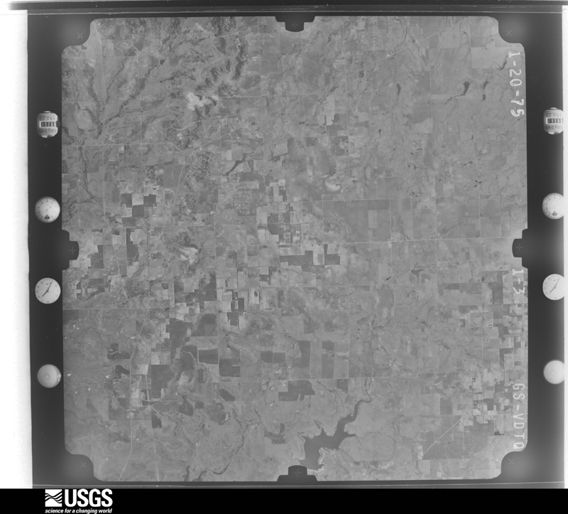
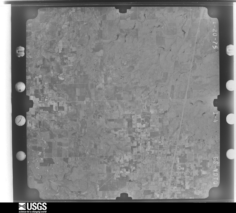
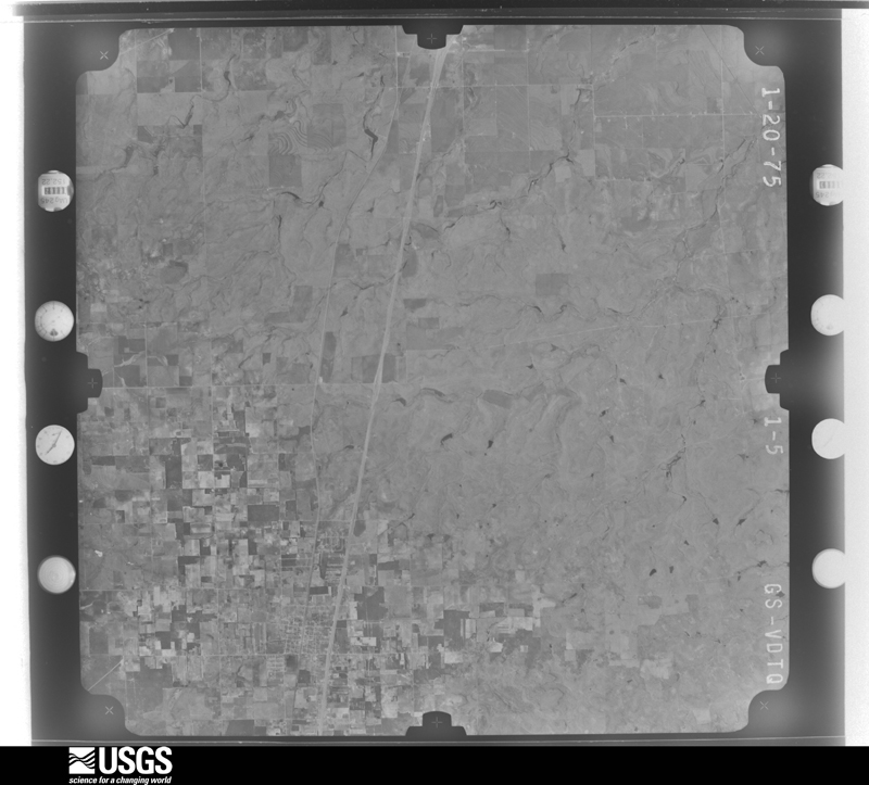
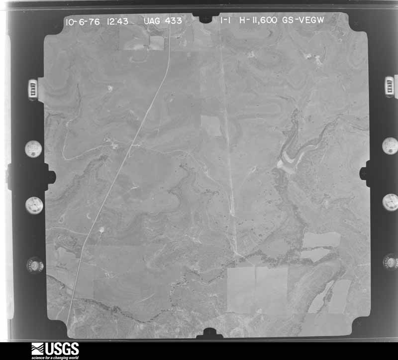
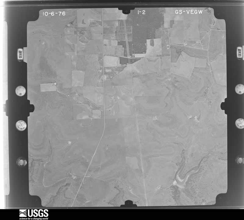
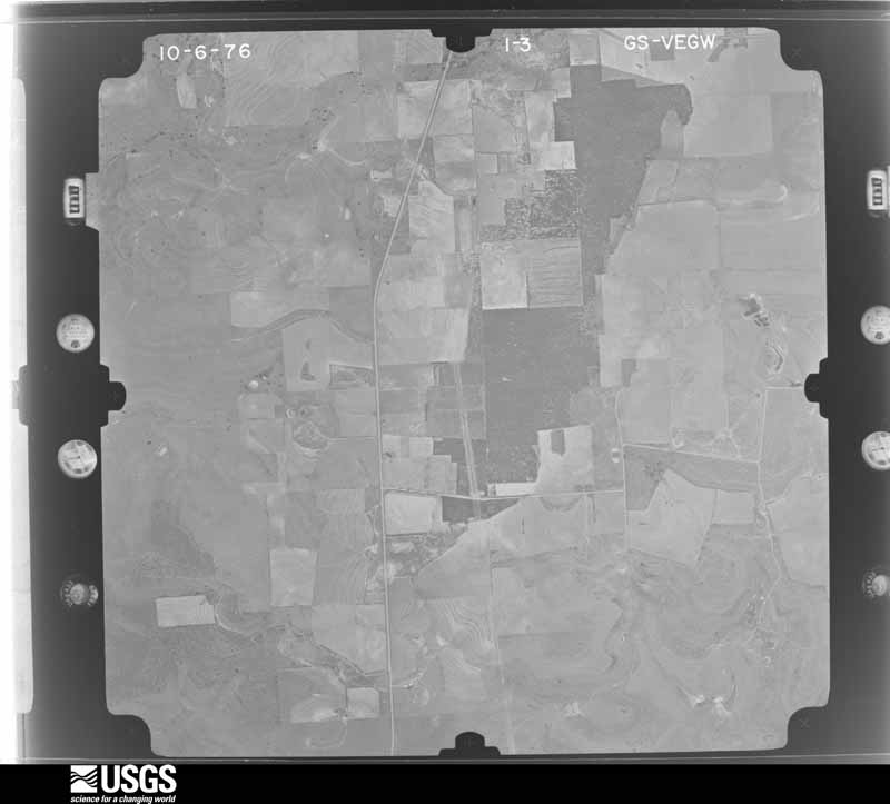
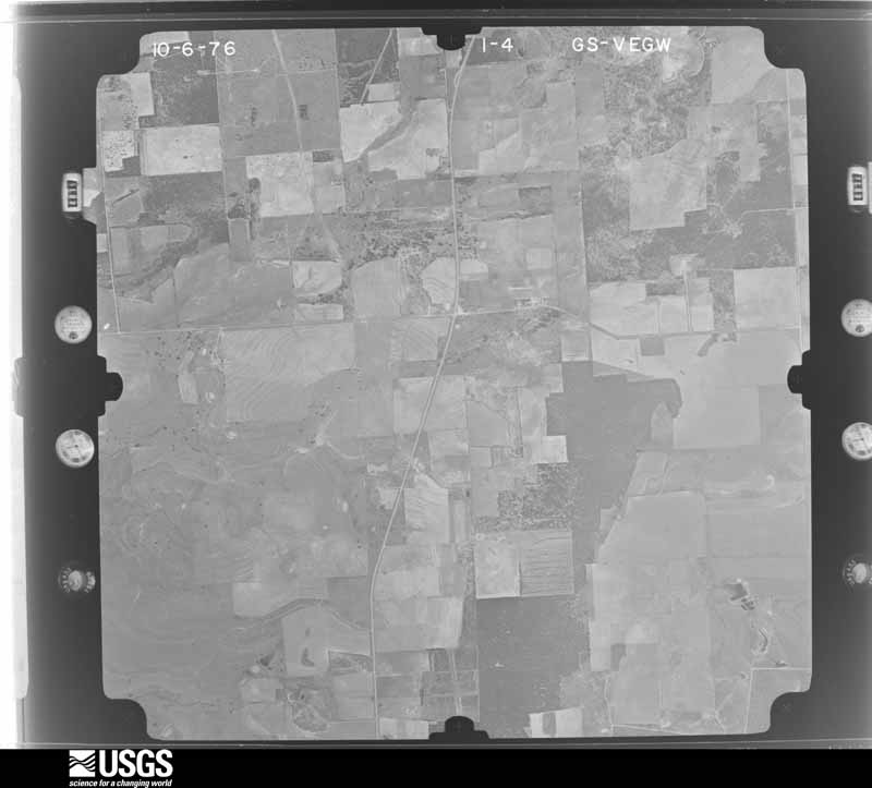
Flown by the U.S. Geological Survey between 1937 and 1989, the Aerial Photo Single Frames collection is the definitive mid-century view of the land: fields, roads and rivers as the camera saw them. The Survey holds 997 frames inside the rectangle that bounds this county; the 36 frames below were taken over the county itself, chosen across the decades of flights (at most four a year from that rectangle), so one flight cannot crowd out the rest. The full set is free to browse and download at EarthExplorer under the dataset Aerial Photo Single Frames.
The thermometers that kept this county's weather, as the federal records hold them. The extremes below are measured values from those records, not estimates.
Who lived here in 1950, one enumeration district at a time, as the Census Bureau described each district. Each row opens its official National Archives result, with Population Schedules and ED Maps available there.
Every wildfire the federal occurrence database records inside this county: 1,134 of them, burning about 28,474 acres. 43 started naturally and 7 were recorded as arson. Each settlement page carries the fires within five miles of it.
| Reported cause | Fires |
|---|---|
| Missing data/not specified/undetermined | 510 |
| Equipment and vehicle use | 213 |
| Debris and open burning | 208 |
| Power generation/transmission/distribution | 94 |
| Natural | 43 |
| Railroad operations and maintenance | 28 |
| Smoking | 18 |
| Recreation and ceremony | 8 |
| Arson/incendiarism | 7 |
| Misuse of fire by a minor | 5 |
The five largest, by the area the report gives. None of them was recorded as arson.
| Date | Cause | Size | Reported by | Name on the report |
|---|---|---|---|---|
| 27 December 2005 | Missing data/not specified/undetermined | 7,660 acres | Texas A & M Forest Service | CROSS ROADS |
| 25 February 2008 | Missing data/not specified/undetermined | 4,040 acres | Texas A & M Forest Service | ROWDEN FIRE |
| 27 December 2005 | Missing data/not specified/undetermined | 2,000 acres | Texas A & M Forest Service | DR. DICKEY REKINDLE |
| 24 February 2009 | Equipment and vehicle use | 700 acres | Texas A & M Forest Service | CLYDE (AUTOBAHN) FIRE |
| 30 January 2016 | Missing data/not specified/undetermined | 642 acres | Texas A & M Forest Service | HIGH LINE |
| 30 January 2008 | Equipment and vehicle use | 605 acres | Texas A & M Forest Service | YATES FIRE |
| 8 August 2010 | Natural | 560 acres | Texas A & M Forest Service | PRUIT/ALVEY |
| 8 August 2010 | Natural | 415 acres | Texas A & M Forest Service | DICKIE |
Every settlement page carries the fires within five miles of it - see the settlement index below.
The NOAA Storm Events Database holds 454 reports for this county, causing 5 deaths, 12 injuries and about $14,319,280 in recorded property damage. Each settlement page carries the reports that name it.
| Kind of event | Reports |
|---|---|
| Hail | 269 |
| Thunderstorm Wind | 99 |
| Tornado | 50 |
| Flash Flood | 27 |
| Funnel Cloud | 5 |
| Flood | 4 |
The most serious of them, by death, then injury, then recorded damage. The accounts are quoted exactly as the forecast office filed them.
| When | Event | Place named | Harm | What the report says |
|---|---|---|---|---|
| April 1950 | Tornado (F4) | not stated | 5 killed, 5 hurt, $250,000 | no account filed |
| May 1994 | Tornado (F2) | Cottonwood to | 3 hurt, $500,000 | A tornado touched down near Cottonwood and moved southeast through Cross Plains doing heavy damage. Eighteen homes were destroyed and one hundred were damaged. Ninety percent of the businesses in town were damaged. |
| May 1962 | Tornado (F3) | not stated | 2 hurt | no account filed |
| June 1962 | Tornado (F2) | not stated | 1 hurt, $2,500,000 | no account filed |
| May 2011 | Thunderstorm Wind | Clyde | 1 hurt, $2,000,000 | A National Weather Survey found widespread significant wind damage in Callahan County and the community of Clyde. Winds were estimated to be around 90 mph. The high winds destroyed one manufactured home, while the neighboring manufactured home was also slightly moved by the high winds. A person living in the destroyed home was slightly injured. The strong winds uprooted numerous trees and numerous roofs. A couple of other mobile homes were also moved and sustained roof damage. The downburst damaged about 8 to 10 square miles which included all of Clyde and areas to the southwest, north and east. |
| March 1982 | Tornado (F3) | not stated | $2,500,000 | no account filed |
| May 1976 | Tornado (F3) | not stated | $2,500,000 | no account filed |
| October 2018 | Flood | Clyde | $1,060,000 | Prolonged heavy rainfall flooded roads across Callahan County and this flooding damaged some roads and bridges in the county. This damage and flooding was exasperated by all of the rainfall since September. |
| July 2002 | Flash Flood | Countywide | $800,000 | Portions of Callhan County received as much as 12 inches of rain in the early morning hours of the 6th. This resulted in flooding throughout the county, however the southern portion of the county took the brunt of the flooding, where one home received major damage and two others received minor damage. The damages to the counties road system was significant with $400,000 in damages to the southern portion of the county alone. |
| June 2005 | Hail | Putnam | $250,000 | The very large hail that had been falling in Putnam maxed out at softball size producing major damage to roofs and vehicles. |
| June 1997 | Thunderstorm Wind | Baird | $250,000 | The metal roof of the city hall building was picked up by the winds and landed 250 yards away. There was also wind damage to some nearby housing units. A few power lines were blown down. |
| June 1983 | Tornado (F1) | not stated | $250,000 | no account filed |
| June 2019 | Thunderstorm Wind | Baird | $200,000 | A strong downburst of winds from a thunderstorm resulted in straight line wind damage across the town of Baird. These damaging thunderstorm winds uprooted large trees, blew down power lines and removed a few roofs from buildings. Most of the damage was blown to the north and northeast direction across the City of Baird. The damaging winds also damaged a feed mill in Baird. |
| March 2004 | Tornado (F1) | Clyde | $150,000 | This is the same tornado that started near Potosi and moved into Callahan County. This tornado was also observed from the Abilene air traffic control tower. |
| March 2004 | Tornado (F0) | Clyde | $100,000 | This tornado formed just northeast of Clyde damaging some buildings. This tornado continued to move northeast and eventually entered southern Shackelford County. |
| April 2004 | Flash Flood | Clyde | $100,000 | Heavy rains from thunderstorms, in the city of Clyde, resulted in flooding throughout the city. Water also entered a few homes in Clyde. |
| June 2003 | Hail | Clyde | $100,000 | Damage to cars and windows were broken out of homes. |
| August 2005 | Flash Flood | Cross Plains | $50,000 | Very heavy rain in a short time caused water to cover portions of highway 206 in Cross Plains. State highway crews had to put out pylons to route traffic around flooded roads. Numerous unimproved roads were washed and eroded away by flood waters. |
| June 2004 | Hail | Clyde | $50,000 | Large hail caused damage to automobiles and homes. |
| May 1997 | Tornado (F1) | Cross Plains | $50,000 | A downpour of rain and hail lasted about 12 minutes, and left a narrow strip of ground completely covered with hail. While hail was destroying the garden of this residence, a tornado touched down for a few seconds. The roof was ripped apart and the fireplace was destroyed. The suction damaged the home's ceiling. Mesquite trees in the yard were also ripped apart. |
| May 1994 | Thunderstorm Wind | Cross Plains | $50,000 | Thunderstorm winds estimated at 120 mph blew down hundreds of trees and power line poles. Several head of cattle were killed by flying debris. |
| May 1994 | Hail | Cross Plains | $50,000 | Several bridges were washed out and some rural roads were eroded by flash flooding. |
| May 1994 | Tornado (F0) | Cross Plains | $50,000 | A brief tornado touchdown unroofed several homes. |
| May 1994 | Tornado (F1) | Baird | $50,000 | This tornado was reported from the same location as the one at 1715 CST and was much larger. Extensive damage to homes and businesses was reported. |
| May 1994 | Tornado (F0) | Baird | $50,000 | A brief touchdown was observed. |
| September 1993 | Thunderstorm Wind | not stated | $50,000 | 12 SE Abilene Municipal Airport,The Highway 36 Church of Christ was partially unroofed by thunderstorm winds. |
| September 1993 | Thunderstorm Wind | Eula | $50,000 | Thunderstorm winds damaged houses and barns, and rolled a mobile home. |
| July 1996 | Thunderstorm Wind | Cross Plains | $50,000 | no account filed |
| April 2002 | Thunderstorm Wind | Eula | $30,000 | Numerous trees were snapped and several homes received roof damage due to strong thunderstorm winds estimated at 80 to 100 mph. |
| June 1997 | Hail | Cross Plains | $30,000 | no account filed |
| September 1996 | Thunderstorm Wind | Baird | $25,000 | no account filed |
| June 1989 | Tornado (F2) | not stated | $25,000 | no account filed |
| August 1980 | Tornado (F1) | not stated | $25,000 | no account filed |
| June 2006 | Thunderstorm Wind | Eula | $20,000 | Strong thunderstorm winds damaged the school in Eula and several houses around the community. |
| February 1995 | Thunderstorm Wind | Baird | $20,000 | A truck accident on Highway 36 just east of Highway 283 was caused by high winds. |
| October 2001 | Hail | Cross Plains | $15,000 | Hail the size of golf balls dented cars, broke windshields, and knocked siding off of homes in Cross Plains in southeast Callahan County. |
| March 2007 | Hail | Cross Plains | $10,000 | A trained spotter in Cross Plains observed severe hail for about 10 minutes. The hail grew to the size of tennis balls for a time before ending. In addition to the large hail, wind gusts to 68 mph were occuring at the same time as well. |
| June 1997 | Flash Flood | Baird | $10,000 | no account filed |
| July 2002 | Flash Flood | South Portion | $7,000 | Law enforcement reported several roads under water over the southern portions of Callahan county. |
| June 2007 | Thunderstorm Wind | Cross Plains | $5,000 | Trees were blown down in Cross Plains as minor structural damage was reported. |
| July 1994 | Thunderstorm Wind | Oplin | $5,000 | Thunderstom winds blew down power line poles. |
| May 1994 | Thunderstorm Wind | Denton Valley | $5,000 | Trees were blown down by thunderstorm winds. |
| May 1993 | Thunderstorm Wind | Cross Plains | $5,000 | Signs and tree limbs blown down by thunderstorm winds. |
| September 1996 | Flash Flood | Putnam | $5,000 | no account filed |
| April 1973 | Tornado (F2) | not stated | $2,500 | no account filed |
| March 1973 | Tornado (F0) | not stated | $2,500 | no account filed |
| May 1959 | Tornado (F1) | not stated | $2,500 | no account filed |
| March 2007 | Thunderstorm Wind | Cross Plains | $2,000 | Wind gusts to 68 mph were reported along with tennis ball size hail. |
| July 2007 | Flash Flood | Clyde | $2,000 | Law enforcement reported several county roads were flooded throughout the county. |
| April 2002 | Thunderstorm Wind | Clyde | $2,000 | no account filed |
| July 1998 | Thunderstorm Wind | Clyde | $1,500 | Winds estimated at 60 mph downed power poles and broke large tree limbs. |
| February 2001 | Thunderstorm Wind | Cottonwood | $1,000 | Winds estimated at 60 mph downed tree limbs in the southeast section of Callahan County. |
| June 1999 | Thunderstorm Wind | Cross Plains | $500 | A tin roof was peeled back as high winds moved across the area. |
| April 1993 | Thunderstorm Wind | Cross Plains | $500 | Thunderstorm winds blew down signs and tree limbs. |
| May 1959 | Tornado (F1) | not stated | $250 | no account filed |
| March 1983 | Tornado (F0) | not stated | $30 | no account filed |
| March 2026 | Funnel Cloud | Baird | - | Public reported a funnel cloud via social media. |
| March 2026 | Tornado (EFU) | Denton | - | A storm chaser observed a tornado on the ground southeast of Potosi, TX. |
| March 2026 | Hail | Baird | - | Law enforcement reported quarter sized hail. |
| March 2026 | Tornado (EFU) | Denton | - | A storm chaser video indicated a brief tornado touchdown south of Clyde. |
The Survey's mineral resources record lists 1 working inside this county. It is closed or unrecorded. Each settlement page carries the workings within five miles of it.
| Commodity | Workings |
|---|---|
| Copper | 1 |
The least common of them first, because a county's hundredth gravel pit says nothing its first ten did not.
| Where | Site | Commodity | Status | Recorded |
|---|---|---|---|---|
| Ramsey-1 | Copper | Occurrence | 1973 |
Named settlements recorded in the Geographic Names Information System, each with the topographic sheets covering it. Villages, hamlets and abandoned places alike. Each is shown with the nearest named watercourse or landform and the survey quadrangle it falls on. The 2 places that were also surveyed for fire insurance come first, with the number of atlases and photographs held for them.
Baird census division · 79504 · Baird quadrangle
9 sheets, 1931 to 1985
Fire insurance: 9 atlases
Cross Plains census division · 76443 · On Bee Branch · Cross Plains North quadrangle
8 sheets, 1931 to 1985
Fire insurance: 3 atlases
Cross Plains census division · 76443 · Cross Plains North quadrangle
8 sheets, 1931 to 1985
Clyde census division · 79510 · Near Eagle Mountain · Eula quadrangle
14 sheets, 1890 to 1985
9 topographic sheets and 9 fire insurance atlases, 1885 to 1941
8 topographic sheets and 3 fire insurance atlases, 1921 to 1939