 Block
BlockFrom the record
5 National Register listings published here.
Sources: the National Register database, National Park Service
29 topographic sheets and 2 fire insurance atlases across 1 place.
5 National Register listings published here.
Sources: the National Register database, National Park Service
Taken for the Office of War Information and the Farm Security Administration, who photographed the country between 1935 and 1944. Works of United States government photographers, with no known restriction on use. Each opens its catalogue record.
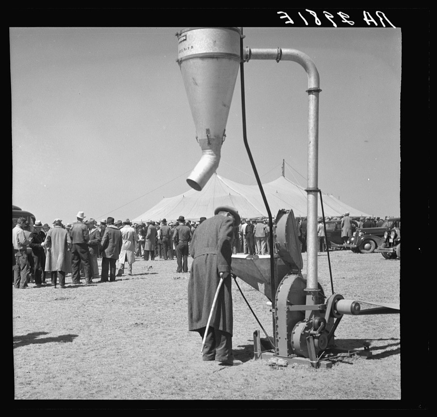
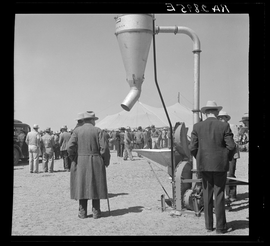

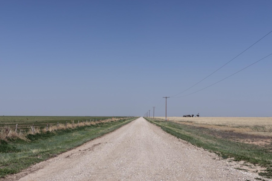

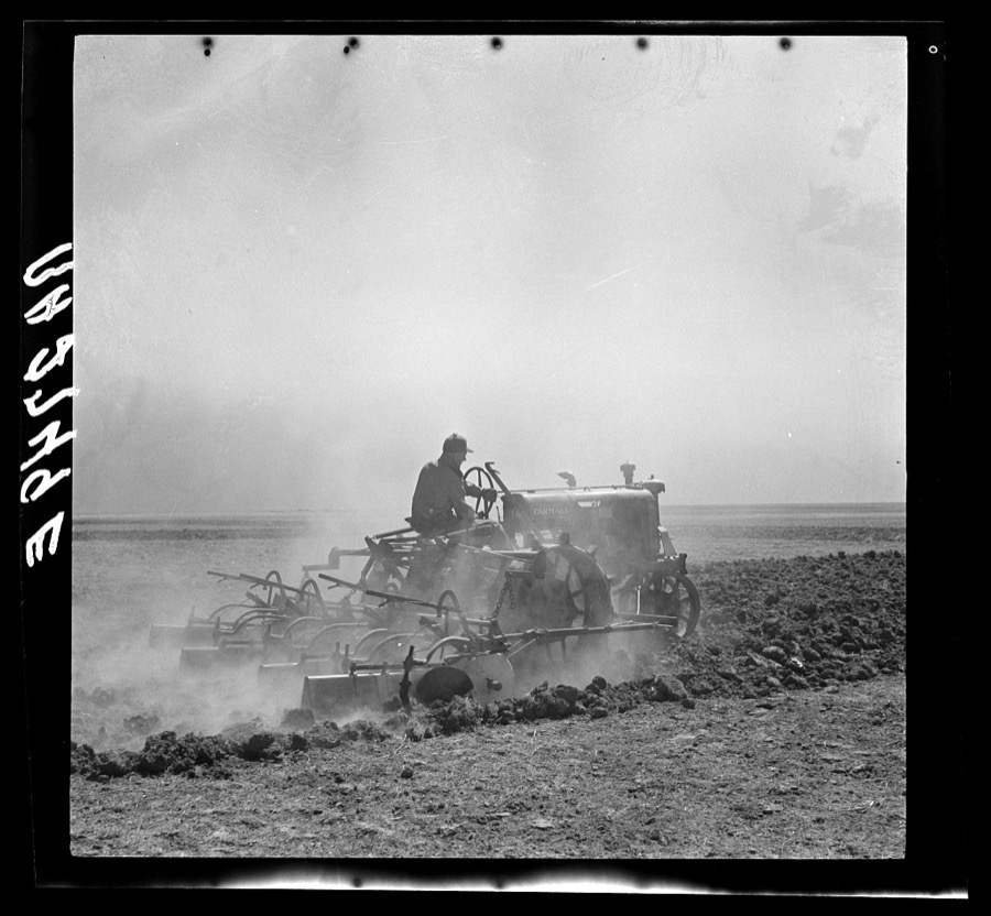

Every property in this county listed on the National Register of Historic Places, with the year it was listed and the federal nomination document.
| Photograph | Property | Type | Listed | Reference |
|---|---|---|---|---|
| Atchison, Topeka and Santa Fe Railway Depot, Panhandle | building | 2003 | 03000326 | |
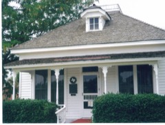 | Carson County Square House Museum | building | 1973 | 73001961 |
| Panhandle Inn | building | 2017 | 100000693 | |
| Route 66, TX 207 to I-40 | structure | 2007 | 06000924 | |
| Route 66, TX 207 to I-40 | structure | 2007 | 06000924 |
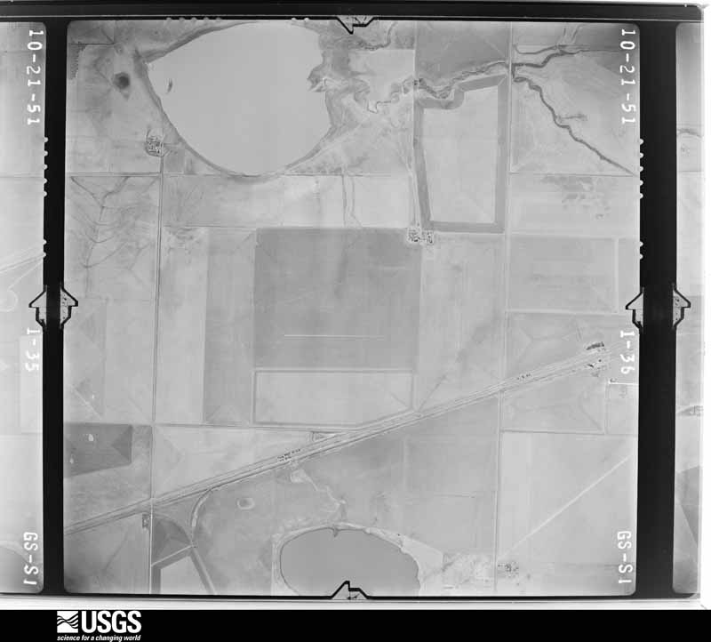
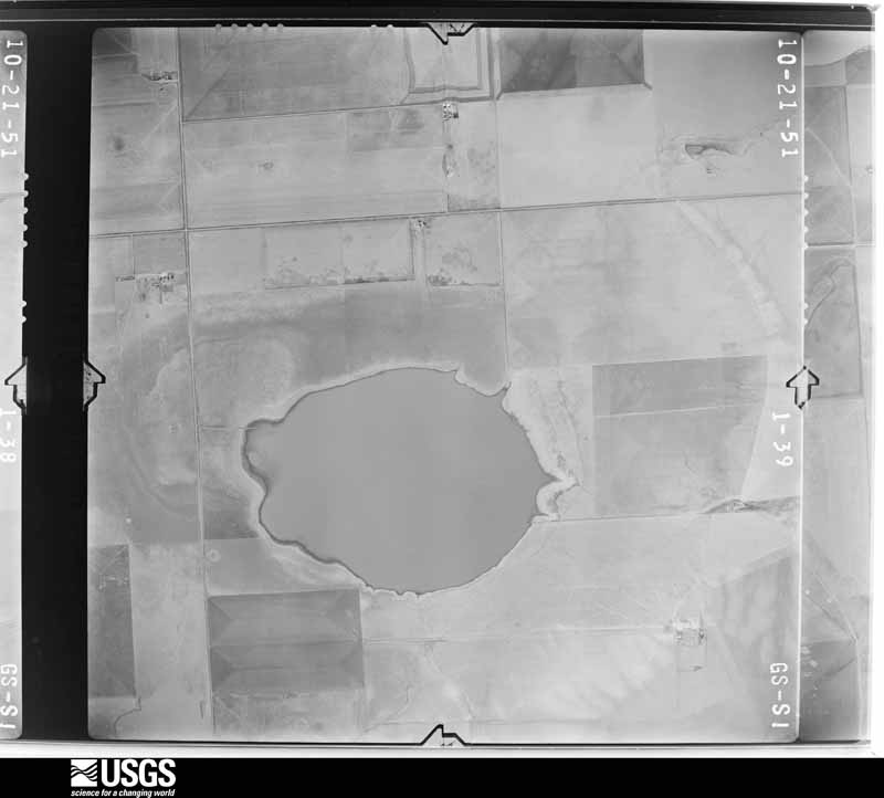
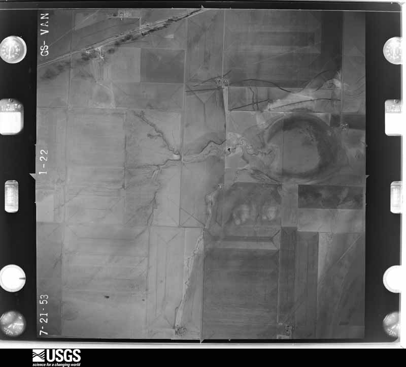
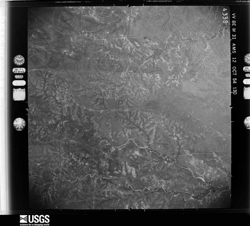
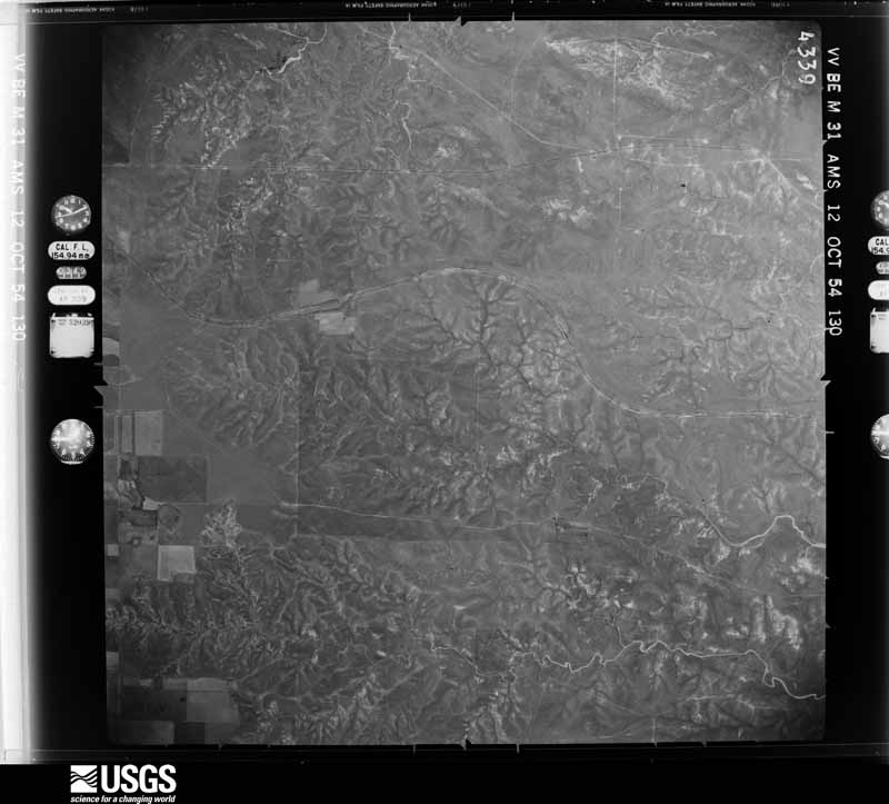
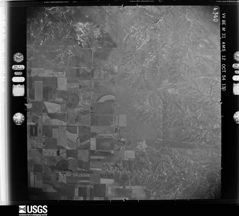
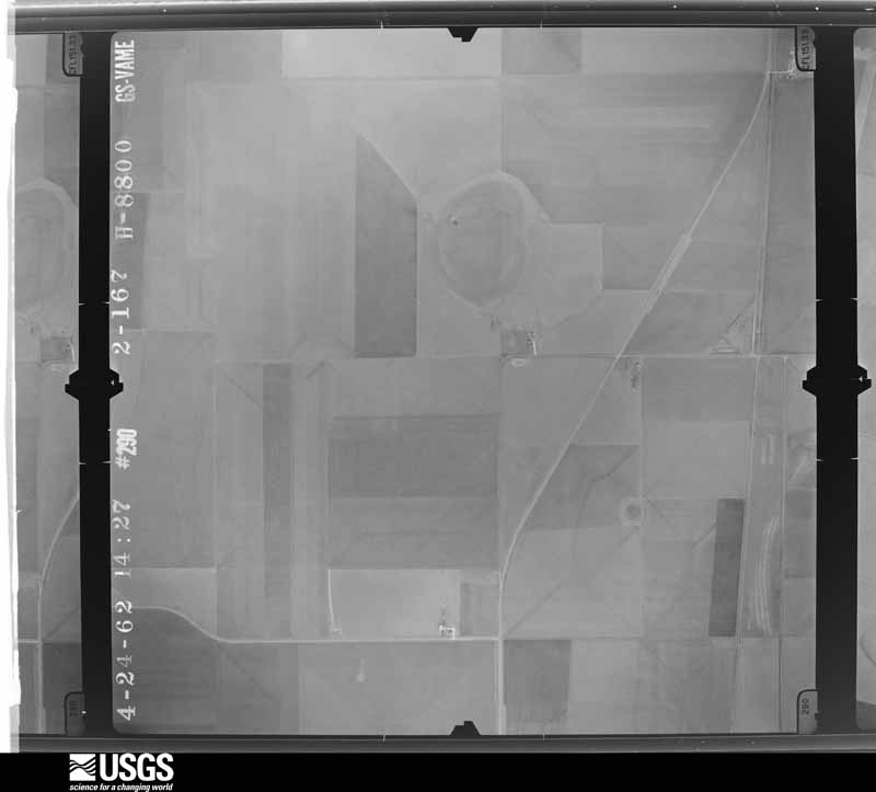
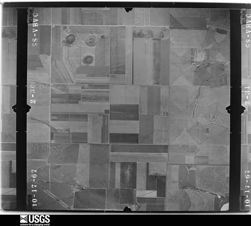
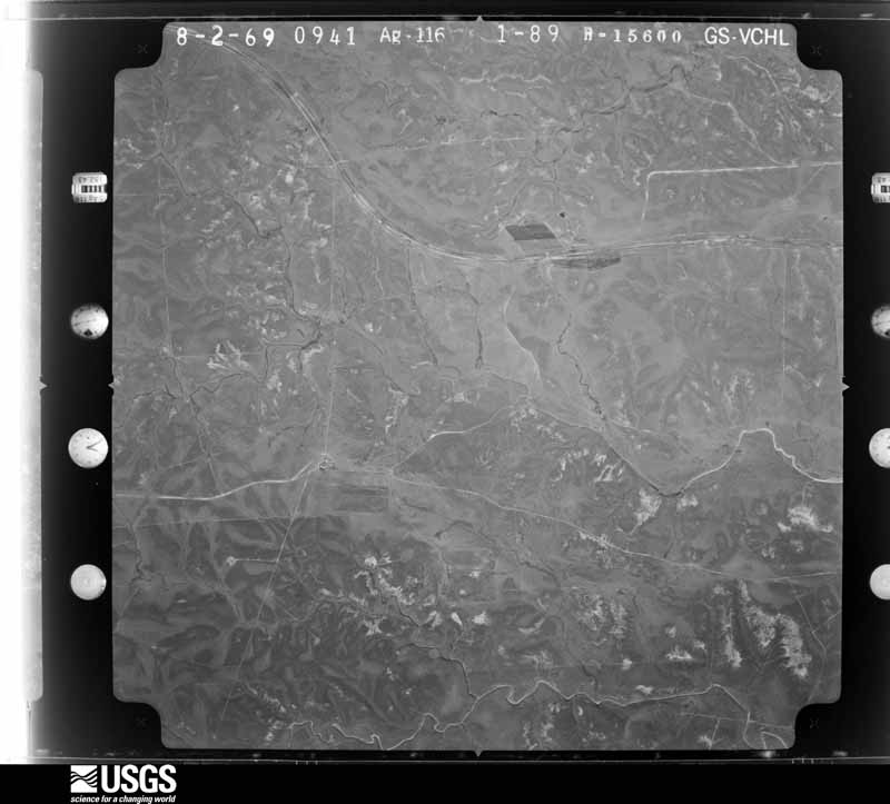
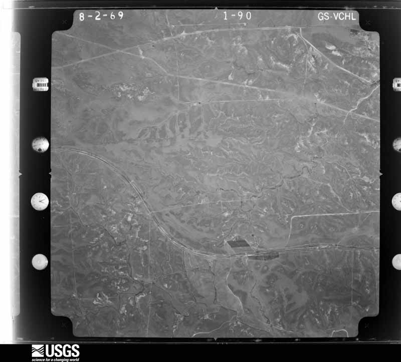
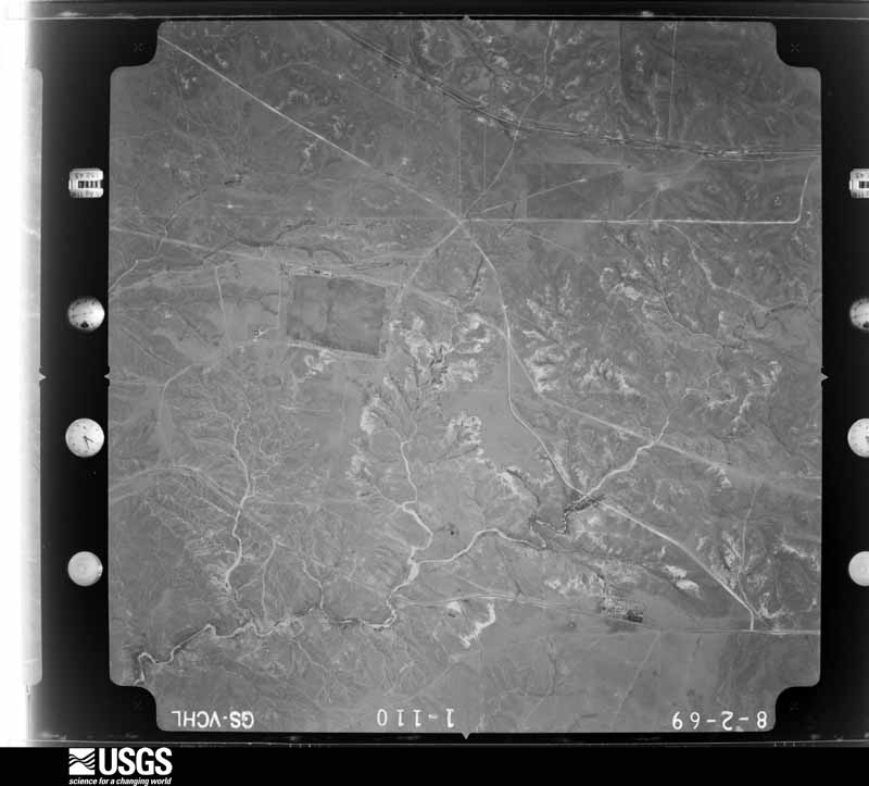
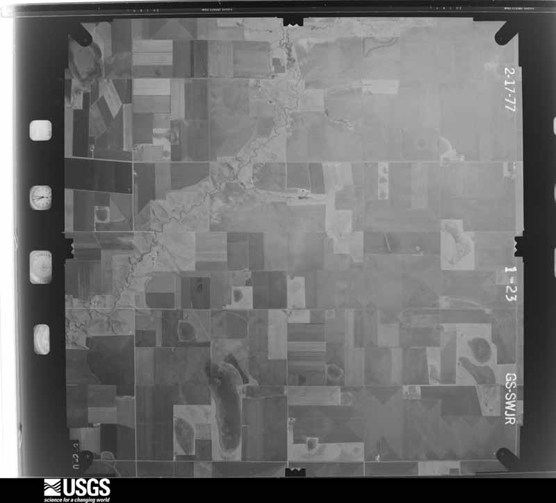
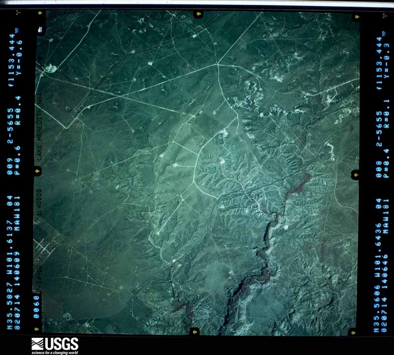
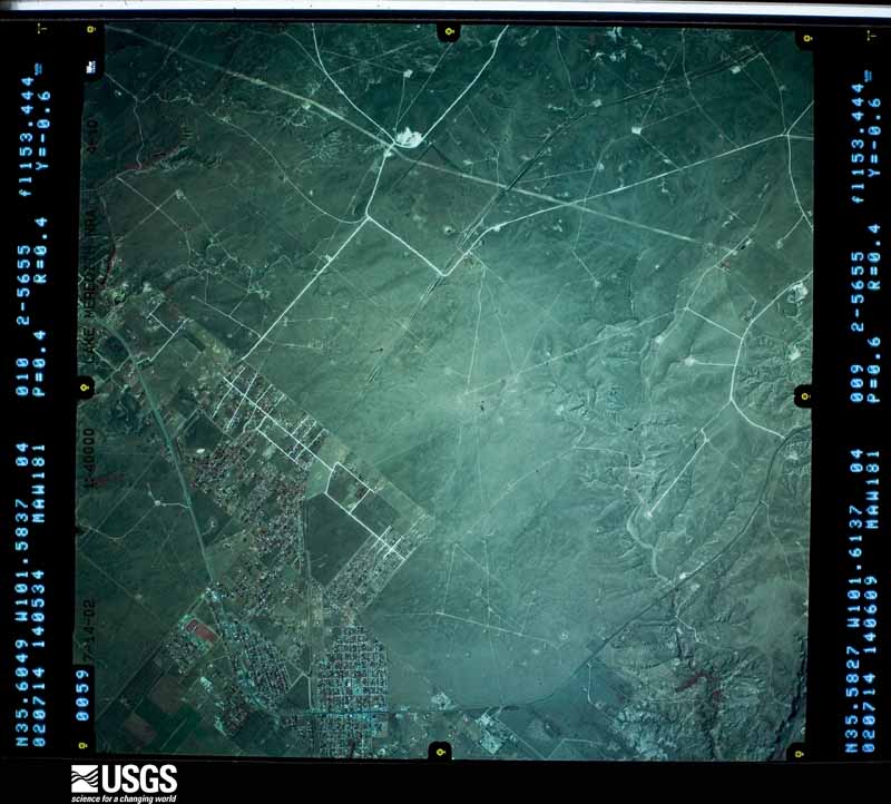
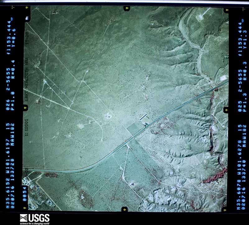
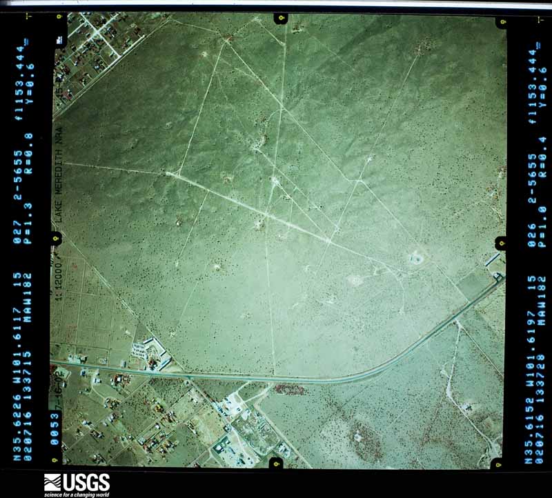
Flown by the U.S. Geological Survey between 1937 and 1989, the Aerial Photo Single Frames collection is the definitive mid-century view of the land: fields, roads and rivers as the camera saw them. The Survey holds 1,120 frames inside the rectangle that bounds this county; the 40 frames below were taken over the county itself, chosen across the decades of flights (at most four a year from that rectangle), so one flight cannot crowd out the rest. The full set is free to browse and download at EarthExplorer under the dataset Aerial Photo Single Frames.


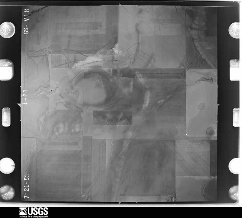
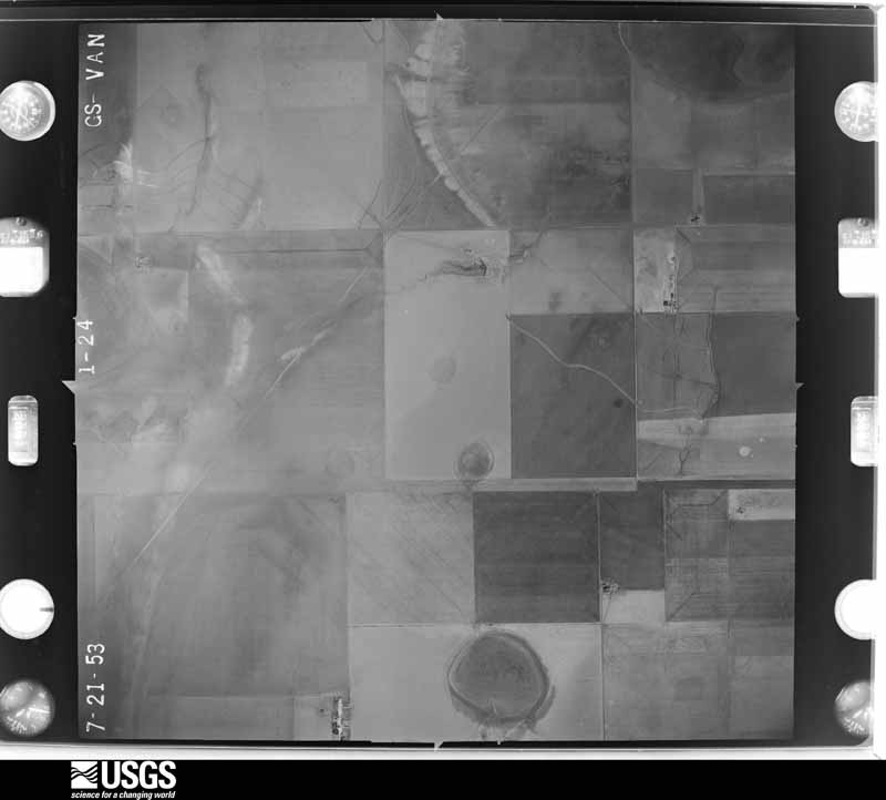
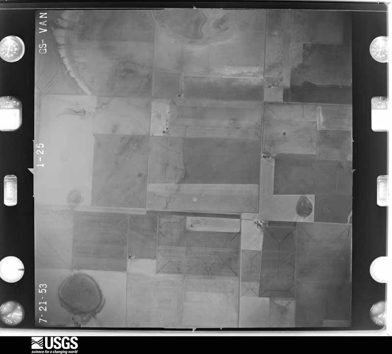
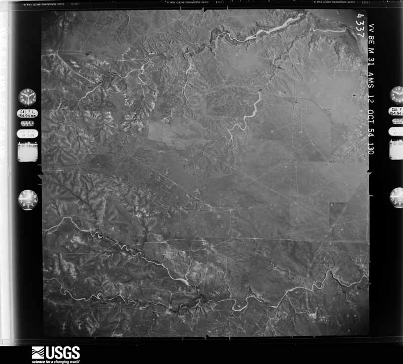
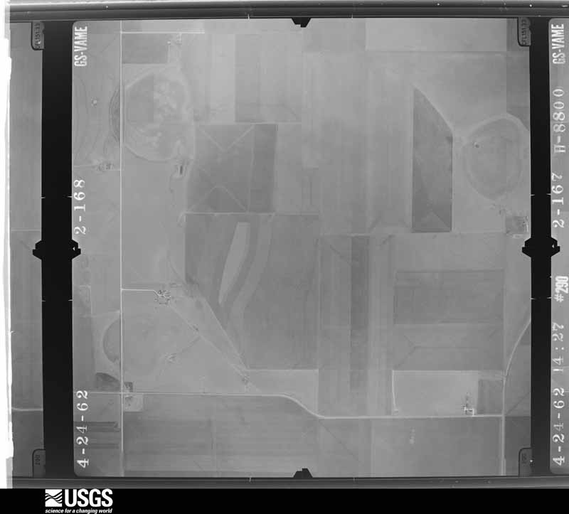


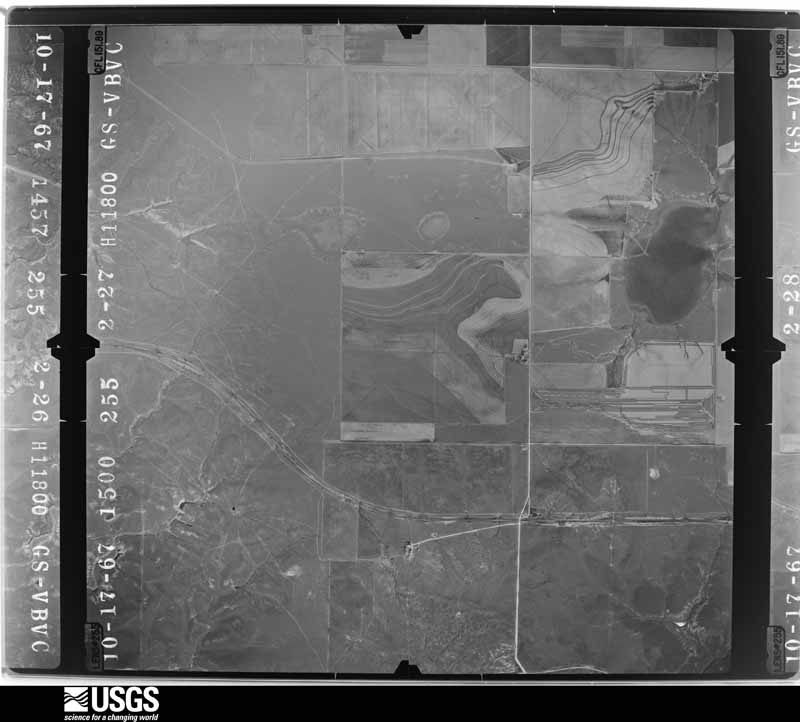
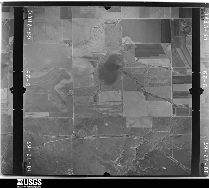
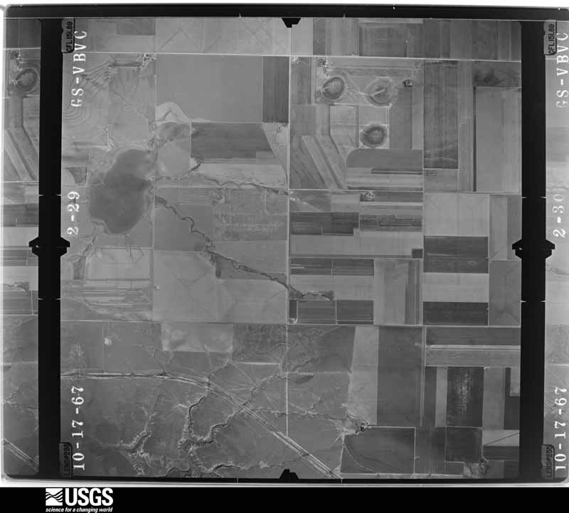
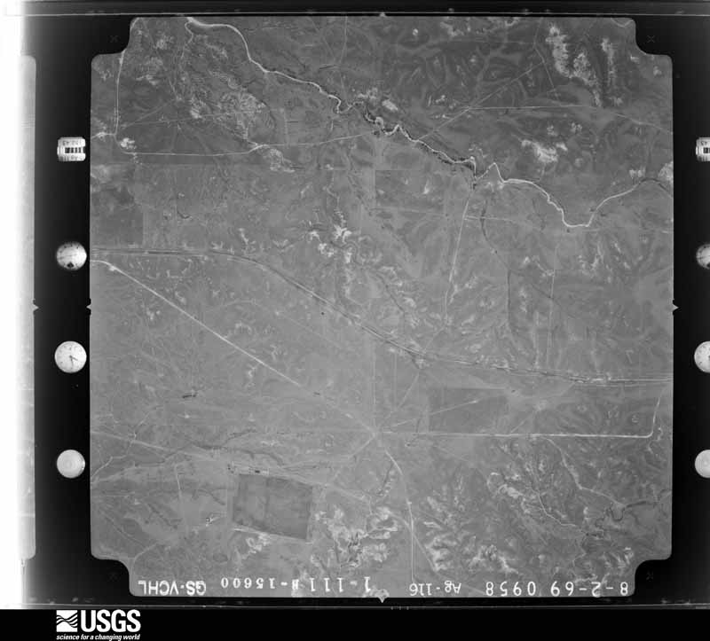
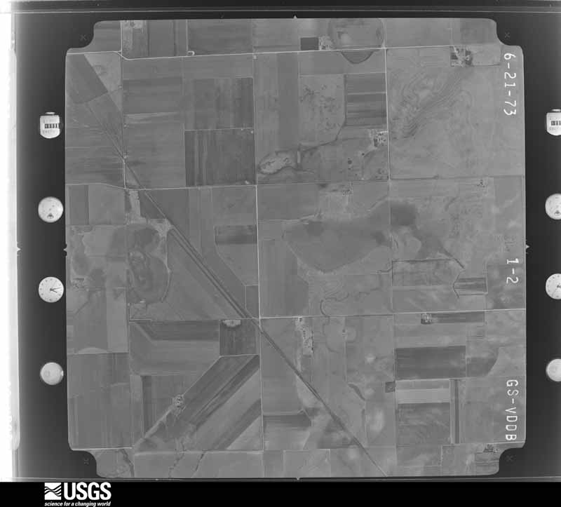
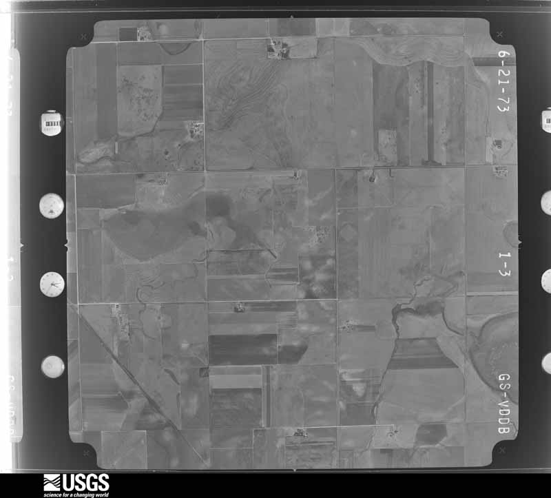
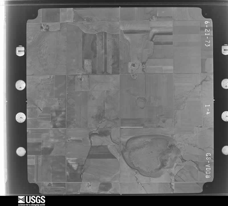
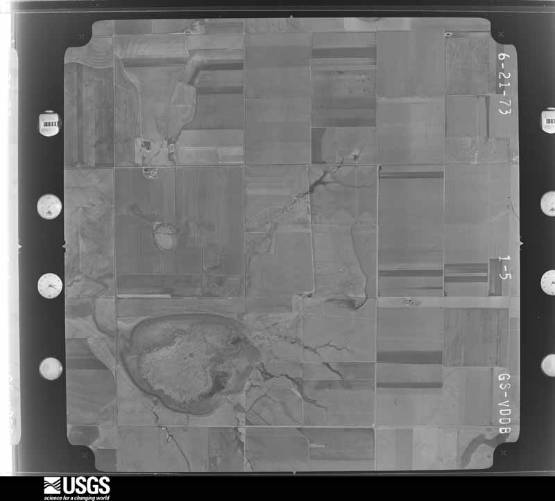
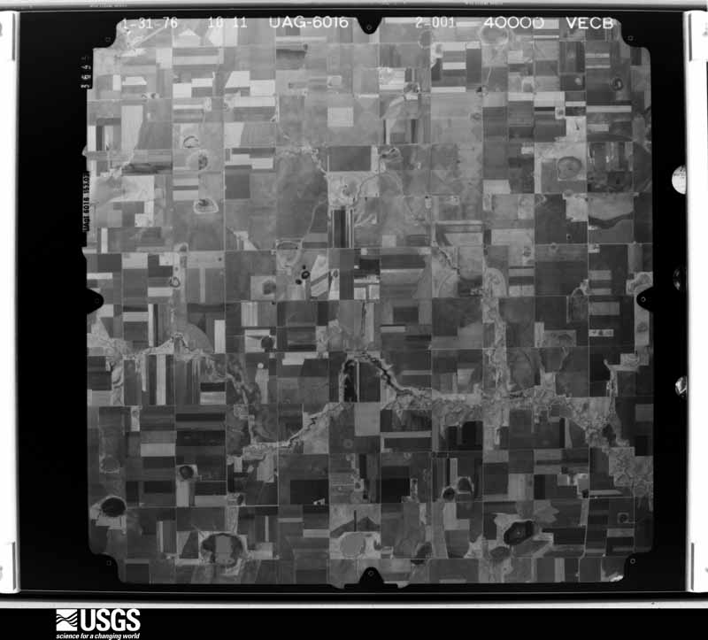
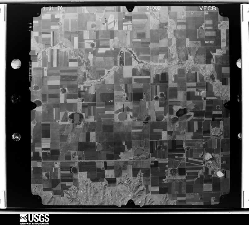
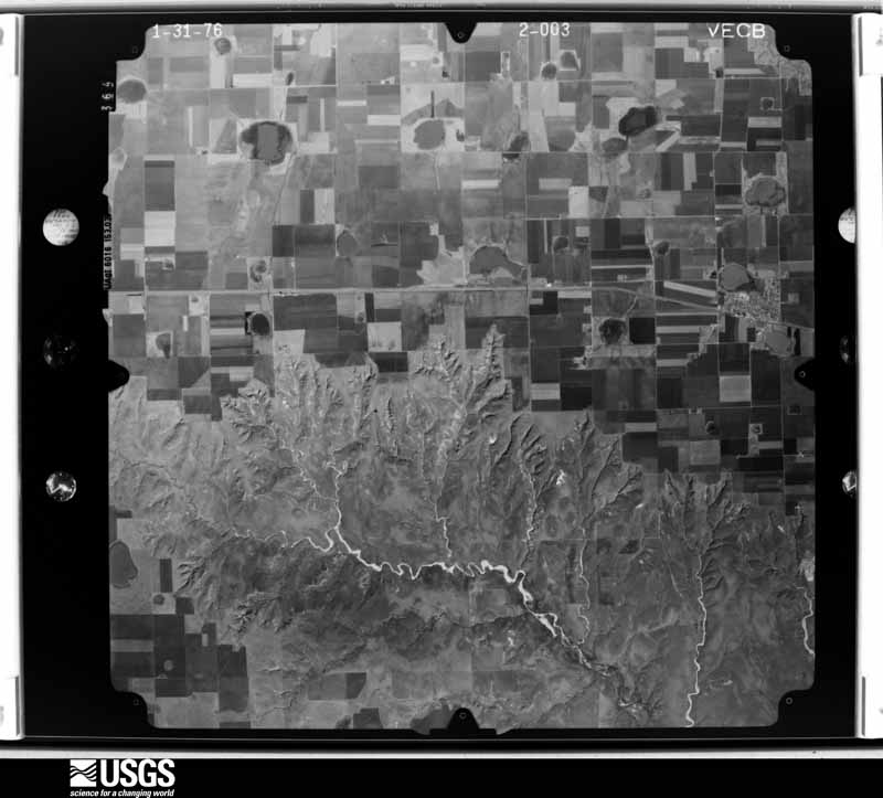
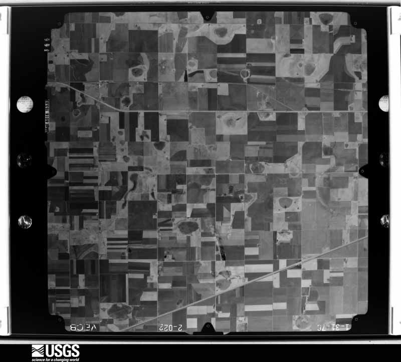
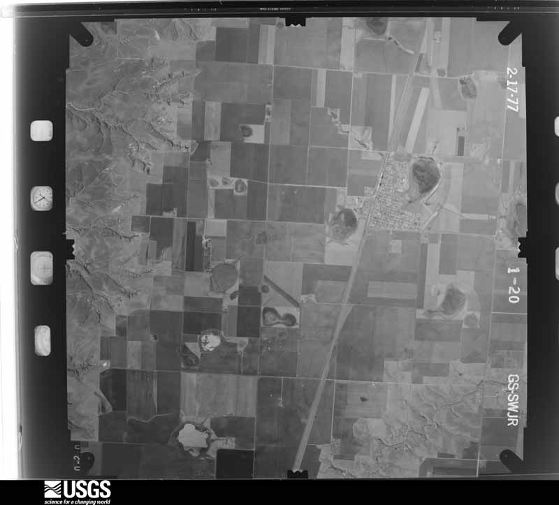
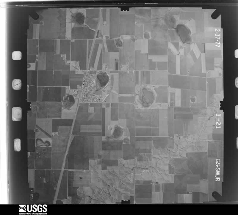
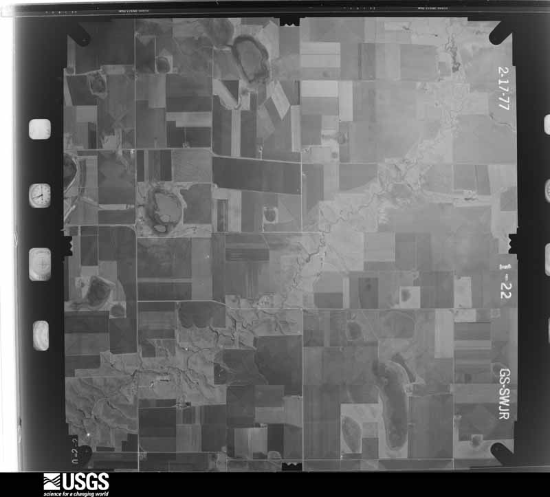
The thermometers that kept this county's weather, as the federal records hold them. The extremes below are measured values from those records, not estimates.
Who lived here in 1950, one enumeration district at a time, as the Census Bureau described each district. Each row opens its official National Archives result, with Population Schedules and ED Maps available there.
Every wildfire the federal occurrence database records inside this county: 535 of them, burning about 100,240 acres. 53 started naturally and 8 were recorded as arson. Each settlement page carries the fires within five miles of it.
| Reported cause | Fires |
|---|---|
| Missing data/not specified/undetermined | 195 |
| Power generation/transmission/distribution | 115 |
| Equipment and vehicle use | 98 |
| Natural | 53 |
| Debris and open burning | 25 |
| Smoking | 24 |
| Railroad operations and maintenance | 11 |
| Arson/incendiarism | 8 |
| Recreation and ceremony | 6 |
The five largest, by the area the report gives. None of them was recorded as arson.
| Date | Cause | Size | Reported by | Name on the report |
|---|---|---|---|---|
| 27 February 2011 | Missing data/not specified/undetermined | 23,000 acres | Lake Meredith National Recreation Area | SO CLOSE |
| 15 June 2006 | Natural | 8,000 acres | Texas A & M Forest Service | not named |
| 30 December 2016 | Missing data/not specified/undetermined | 7,500 acres | Lake Meredith National Recreation Area | 136 COMPLEX |
| 30 January 2009 | Power generation/transmission/distribution | 6,400 acres | Texas A & M Forest Service | TRI-COUNTY FIRE |
| 16 December 2016 | Equipment and vehicle use | 5,128 acres | Texas A & M Forest Service | CARSON 1059 |
| 18 January 2017 | Power generation/transmission/distribution | 4,033 acres | Texas A & M Forest Service | SIDELINE FIRE |
| 20 February 2004 | Missing data/not specified/undetermined | 3,500 acres | Texas A & M Forest Service | HIGH PLAINS - 1 |
| 11 July 2020 | Missing data/not specified/undetermined | 3,500 acres | Texas A & M Forest Service | HAYHOOK RANCH |
Every settlement page carries the fires within five miles of it - see the settlement index below.
The NOAA Storm Events Database holds 910 reports for this county, causing no deaths, 24 injuries and about $28,475,000 in recorded property damage. Each settlement page carries the reports that name it.
| Kind of event | Reports |
|---|---|
| Hail | 617 |
| Thunderstorm Wind | 168 |
| Tornado | 92 |
| Flash Flood | 16 |
| Flood | 9 |
| Heavy Rain | 6 |
| Lightning | 1 |
| Funnel Cloud | 1 |
The most serious of them, by death, then injury, then recorded damage. The accounts are quoted exactly as the forecast office filed them.
| When | Event | Place named | Harm | What the report says |
|---|---|---|---|---|
| June 1951 | Tornado (F3) | not stated | 12 hurt, $250,000 | no account filed |
| July 1998 | Thunderstorm Wind | Conway | 4 hurt | Four tractor trailer rigs were blown over on Interstate 40. Four people were taken to the hospital for treatment. |
| April 1973 | Tornado (F2) | not stated | 3 hurt, $250,000 | no account filed |
| July 1987 | Tornado (F2) | not stated | 2 hurt, $25,000 | no account filed |
| October 1971 | Tornado (F3) | not stated | 2 hurt | no account filed |
| April 2012 | Thunderstorm Wind | Conway | 1 hurt, $50,000 | Local law enforcement officials reported that three eighteen wheeler tractor trailer rigs were either rolled over or blown into a ditch along Interstate 40 between Amarillo and Groom. There was one minor injury reported. |
| June 1992 | Tornado (F4) | not stated | $25,000,000 | no account filed |
| June 2008 | Hail | Pantex | $500,000 | An off-duty National Weather Service employee reported that numerous homes in eastern Carson County received considerable roof and window damage to homes...barns and other structures. |
| May 2001 | Tornado (F3) | Panhandle | $250,000 | The tornado destroyed an office building associated with a grain elevator...unroofed and severely damaged a nearby home...and tossed a pickup truck and suburban about fifty and one hundred yards respectively. Several cattle and one horse were reported killed or injured from the tornado. As many as fifty power poles and transmission lines were brought down from the storm. The tornado path and width were estimated and an official damage survey was made on the tornado. |
| May 1982 | Tornado (F1) | not stated | $250,000 | no account filed |
| April 1968 | Tornado (F2) | not stated | $250,000 | no account filed |
| July 1995 | Hail | Panhandle | $200,000 | no account filed |
| March 2000 | Thunderstorm Wind | Conway | $150,000 | Eighteen wheeler was blown over. |
| June 1999 | Lightning | White Deer | $125,000 | Lightning caused a house fire. |
| July 1997 | Thunderstorm Wind | Groom | $100,000 | Carson County Sheriff's Office reported tree and roof damage. |
| June 1995 | Hail | Fritch | $100,000 | no account filed |
| July 1995 | Hail | Panhandle | $75,000 | no account filed |
| April 2007 | Tornado (EF2) | Groom | $72,000 | This tornado formed nine miles east northeast of Claude at 2035 CST and entered Carson county at 2037 CST one and a half miles southwest of Groom. The tornado tracked north and traveled about another ten miles before dissipating at 2110 CST ten miles east of Panhandle. In Carson county...the tornado plowed through a storage area for tractors and other farm equipment. Tractors...turbines...vehicles...cotton presser box cars similar to railroad cars were moved and thrown about in the tornado for considerable distances. Power poles were also damaged. No injuries were reported. |
| April 2001 | Hail | Panhandle | $70,000 | no account filed |
| October 2002 | Thunderstorm Wind | Pantex | $65,000 | Damaging winds moved a well house off of its foundation and a stock tank was reported missing. |
| September 2025 | Thunderstorm Wind | Panhandle | $60,000 | Thunderstorm winds knocked down eight power poles near County Road M and 14. |
| July 2011 | Thunderstorm Wind | Groom | $60,000 | Local law enforcement officials reported that a tractor trailer rig was blown off the road at mile marker 113 on Interstate 40 by a thunderstorm wind gust. There were no reports of injuries or fatalities. |
| September 2002 | Thunderstorm Wind | Panhandle | $60,000 | Trucks were reported blown off the roadway and there was extensive damage to a home west of Panhandle when a large tree fell on the home. |
| July 1995 | Hail | Skellytown | $50,000 | no account filed |
| August 1993 | Thunderstorm Wind | Panhandle | $50,000 | no account filed |
| April 2007 | Thunderstorm Wind | Panhandle | $34,000 | High winds snapped power lines and knocked over a semi-trailer truck. Also...a roof was reportedly blown off of a farm house about five miles southwest of Panhandle. No injuries were reported. |
| October 2002 | Thunderstorm Wind | Panhandle | $30,000 | Damaging winds destroyed a storage building and blew a trampoline roughly four hundred yards and destroyed it. |
| April 2001 | Tornado (F1) | Mc Bride | $30,000 | An official storm damage survey was made on the estimated path length and width. Extensive damage occurred to homes...mobile homes...farm equipment and storage buildings in the Carson and Hutchinson county tornado. This tornado touched down in the Antelope Creek area one mile south of State Highway 136...moved north-northeast for about one and a half miles and lifted north of State Highway 136 in Hutchinson county. |
| June 2024 | Thunderstorm Wind | Mc Bride | $27,000 | Nine power poles were snapped along HWY 207, 6 miles S of BORGER. |
| August 2020 | Thunderstorm Wind | Groom | $25,000 | Large portions of a roof blown off home several trees were downed. |
| May 1995 | Hail | Skellytown | $25,000 | no account filed |
| October 1971 | Tornado (F1) | not stated | $25,000 | no account filed |
| May 1967 | Tornado (F2) | not stated | $25,000 | no account filed |
| May 2023 | Tornado (EF0) | Pantex | $20,000 | A brief tornado touched down just to the east of FM2373. It|caused some broken tree limbs and tossed a dumpster several yards|back to the south. It resulted in damage to an attached garage,|collapsing the structure. It also blew some horse trailers over|in a nearby field. The tornado lifted in an empty field. |
| May 1998 | Thunderstorm Wind | Panhandle | $20,000 | no account filed |
| June 2010 | Thunderstorm Wind | Pantex | $15,000 | A tractor trailer rig was blown over by the strong thunderstorm wind gust at the intersection of St. Francis Avenue and Farm to Market Road 683. No injuries were reported. |
| April 2009 | Tornado (EF1) | Mc Bride | $15,000 | The tornado was reported by the Carson County Sheriff's Office at 1730 CST about seven miles southeast of McBride. The tornado crossed Texas State Highway 207 as it moved generally east or southeast north of Panhandle. At least eleven power poles were snapped and were facing east. The Carson County Sheriff's Office stopped all northbound traffic on Highway 207. The tornado lifted approximately 1731 CST about seven miles north of Panhandle. No injuries were reported. |
| April 2003 | Thunderstorm Wind | Panhandle | $15,000 | Power lines were reportedly blown down. |
| March 2007 | Hail | Pantex | $14,000 | Large hail caused windshield damage to vehicles. No injuries were reported. |
| July 2025 | Thunderstorm Wind | White Deer | $10,000 | Strong thunderstorm winds estimated around 75-80 mph violently shook and pivoted a medium sized camper trailer, turning it about 30 degrees, with the jack stands underneath folding. |
| July 2025 | Thunderstorm Wind | Skellytown | $10,000 | Thunderstorm winds caused damage to a barn roof. Part of the roof was removed and hung off the side. |
| July 2024 | Hail | Pantex | $10,000 | Large hail started to fall around 1815CDT and lasted several minutes at the Pantex plant. Small dents were observed on vehicles in the parking lot after the storm passed. |
| April 2003 | Thunderstorm Wind | Panhandle | $10,000 | A police car side window was reportedly blown out. |
| April 2009 | Tornado (EF0) | Panhandle | $8,000 | The Carson County Sheriff's Office reported that the tornado touched down around 1736 CST near County Road 14 between Texas State Highway 207 and County Road M...about two miles north northwest of Panhandle. Six power poles were snapped and facing south. The base of the tornado was approximately seventy-five feet wide and the tornado lasted only about thirty seconds before lifting. Sparks were visible...which accounted for the power poles being snapped. The tornado may have touched down for a second time around 1739 CST. The movement of the tornado was likely to the southeast. Strong outflow winds to the north of the tornado circulation likely caused damage to an irrigation pivot four miles north of Panhandle. |
| April 2007 | Thunderstorm Wind | Panhandle | $8,000 | High winds tore the roof off of an equipment barn. No injuries were reported. |
| August 2025 | Hail | Panhandle | $5,000 | A supercell thunderstorm produced large hail across the city of Panhandle. Hail sizes ranged between golfball and 2 inches on the east side of Panhandle. |
| June 2024 | Thunderstorm Wind | Panhandle | $5,000 | An outbuilding was damaged along with crops. Trees were also knocked over by the severe gusts. |
| August 2009 | Hail | Groom | $5,000 | A trained spotter reported broken windshields and dented vehicles in Groom due to the large hail. |
| June 2005 | Thunderstorm Wind | Skellytown | $4,000 | Several power lines reportedly blown down. |
| June 2009 | Thunderstorm Wind | Panhandle | $3,000 | A trained storm spotter estimated thunderstorm wind gusts around sixty-one knots about six miles north of Panhandle. These wind gusts knocked over some telephone poles. |
| June 2007 | Thunderstorm Wind | White Deer | $3,000 | Power was reported out along with tree damage due to the high winds. No injuries or fatalities were reported. |
| May 1961 | Tornado (F2) | not stated | $2,500 | no account filed |
| May 1995 | Hail | Skellytown | $2,000 | no account filed |
| June 2008 | Hail | Pantex | $1,500 | An amateur radio operator reported that there were numerous windows broken out of construction trailers. |
| June 2025 | Flash Flood | Panhandle | $1,000 | Fast moving flood waters covered County Road J just off HWY 60. Water was at least 6 to 8 inches deep. |
| June 2025 | Flash Flood | Panhandle | $1,000 | Highway 207 in Panhandle was closed with two feet of water that accumulated under the overpass. |
| September 2010 | Thunderstorm Wind | Panhandle | $1,000 | The National Weather Service Office in Lubbock Texas relayed a report from a member of the public who said that two large trees were blown down by thunderstorm wind gusts about six miles north of Panhandles Texas. No injuries or other damages were reported. |
| June 2008 | Thunderstorm Wind | Pantex | $1,000 | The public reported that the thunderstorm wind gust blew over a yard swing and blew down tree limbs that were up to one inch in diameter. Also...trash cans were reportedly blown about. |
| April 1999 | Hail | Panhandle | $1,000 | Texas Department of Public Safety trooper's car windshield was broken by the hail. |
| June 1990 | Tornado (F2) | not stated | $250 | no account filed |
The Survey's mineral resources record lists 1 working inside this county. It still produces. Each settlement page carries the workings within five miles of it.
| Commodity | Workings |
|---|---|
| Sulfur | 1 |
The least common of them first, because a county's hundredth gravel pit says nothing its first ten did not.
| Where | Site | Commodity | Status | Recorded |
|---|---|---|---|---|
| Cargray Sulfur Plant | Sulfur | Producer |
Named settlements recorded in the Geographic Names Information System, each with the topographic sheets covering it. Villages, hamlets and abandoned places alike. Each is shown with the nearest named watercourse or landform and the survey quadrangle it falls on. The 1 place that was also surveyed for fire insurance comes first, with the number of atlases and photographs held for them.
Panhandle census division · 79036 · Near Antelope Peak · Deal quadrangle
8 sheets, 1939 to 1986
0 topographic sheets and 2 fire insurance atlases, 1929 to 1937