 Block
BlockCochran County, Texas
16 topographic sheets cover 9 settlements here.
Research this county
What the record shows
- 60 topographic sheet readings cover the county's settlements.
- The Geographic Names Information System records 9 populated places in this county; 9 are covered by at least one topographic sheet.
The county from the air
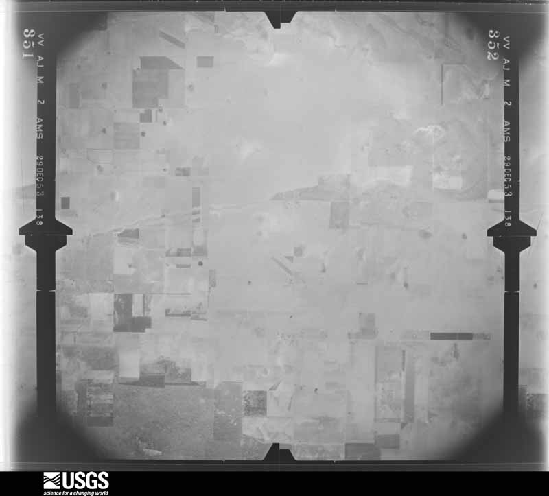
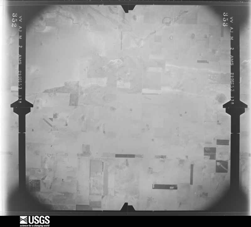
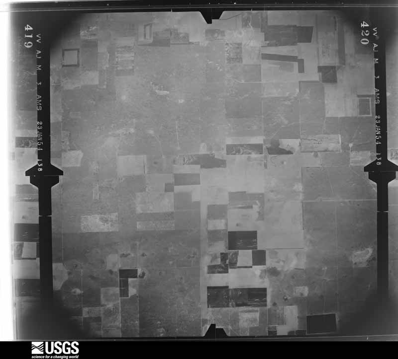
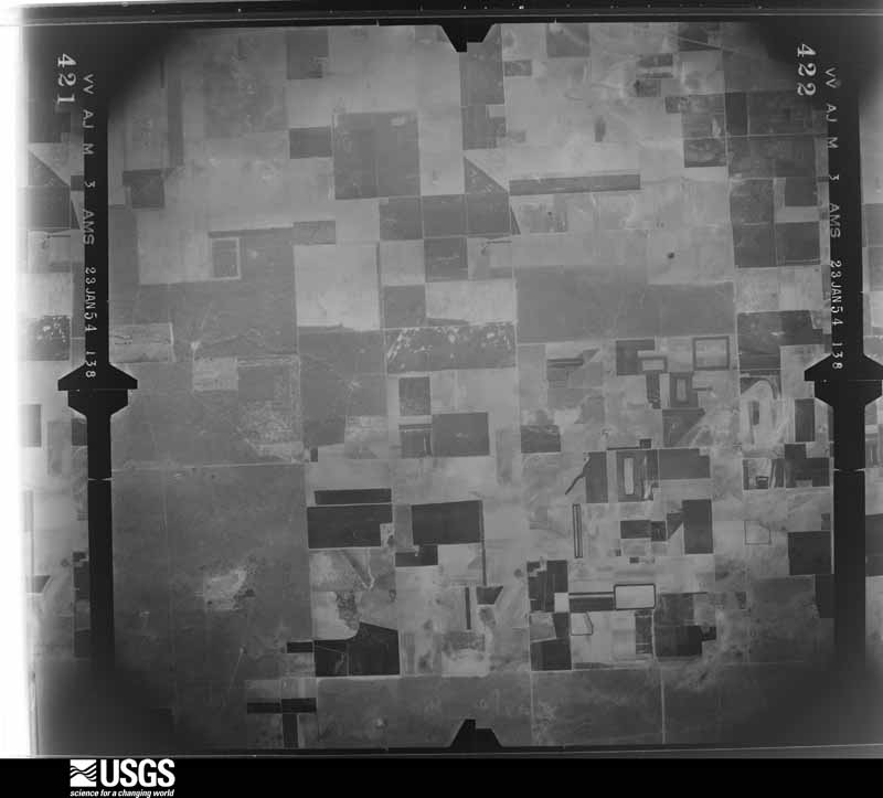
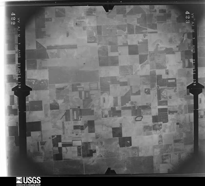
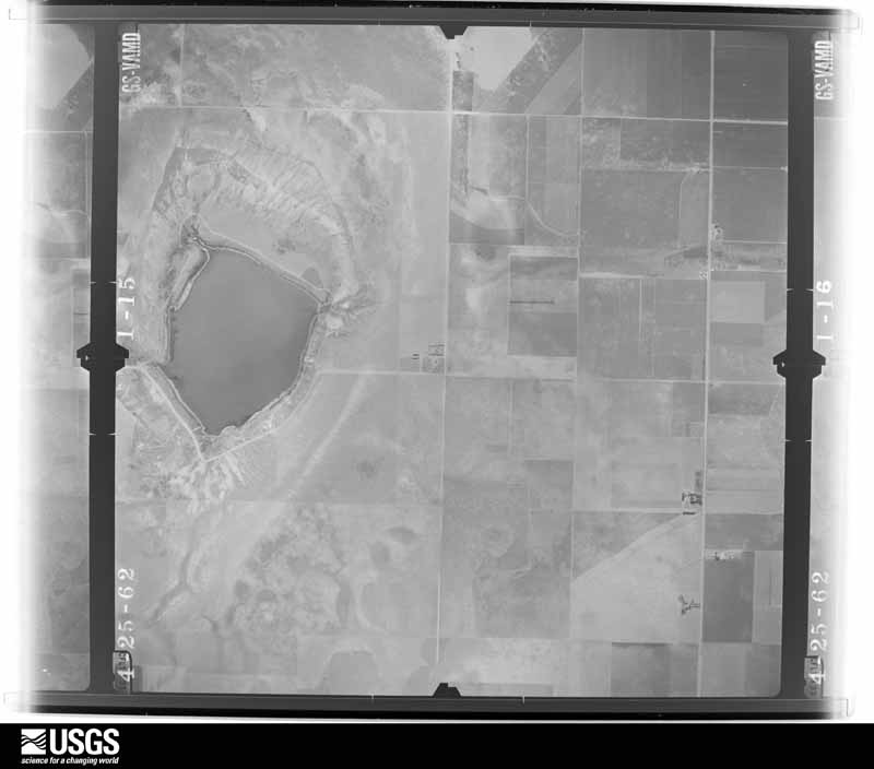
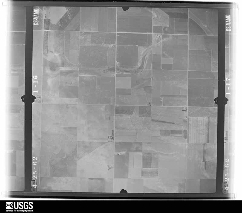
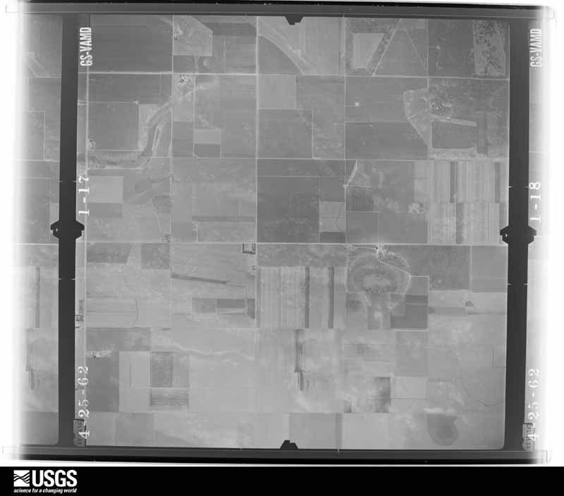
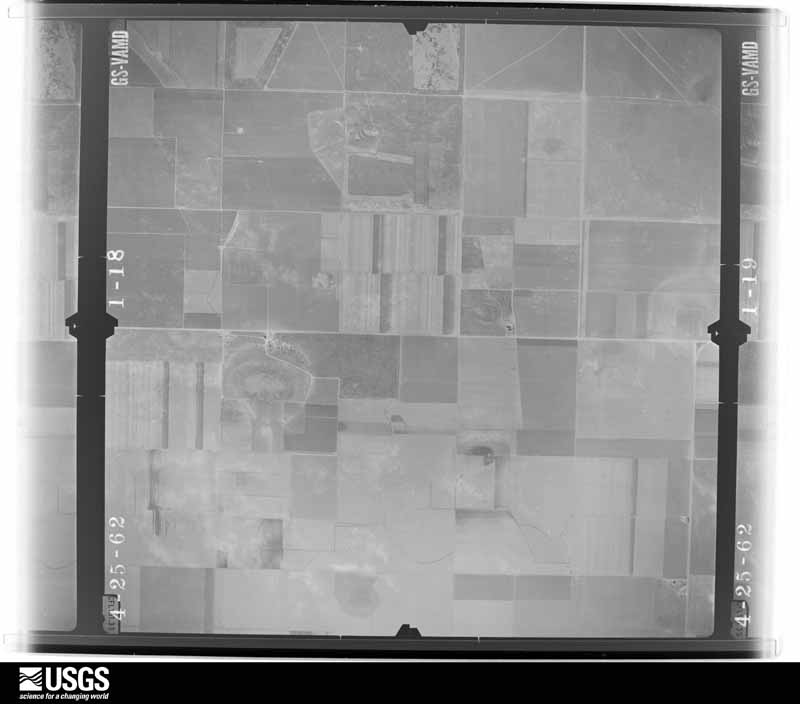
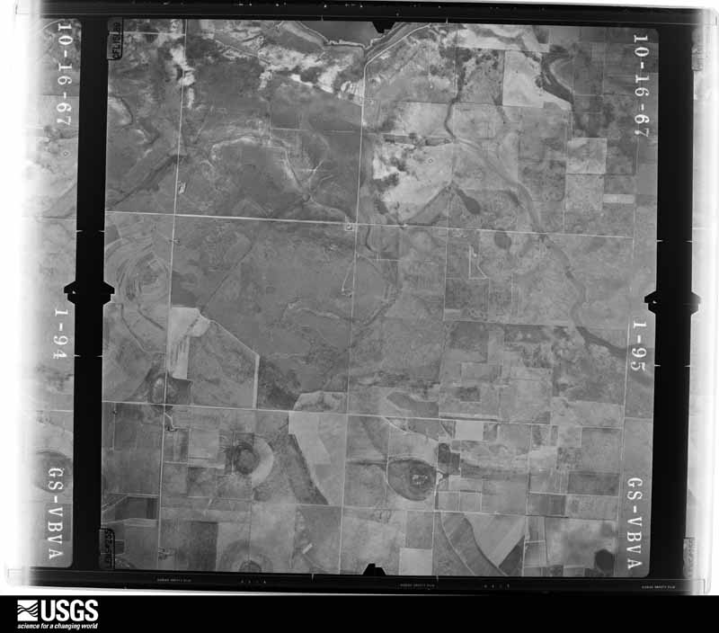
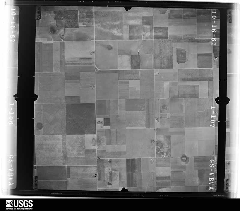
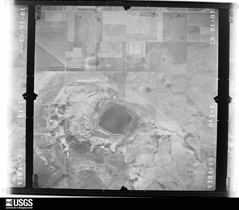
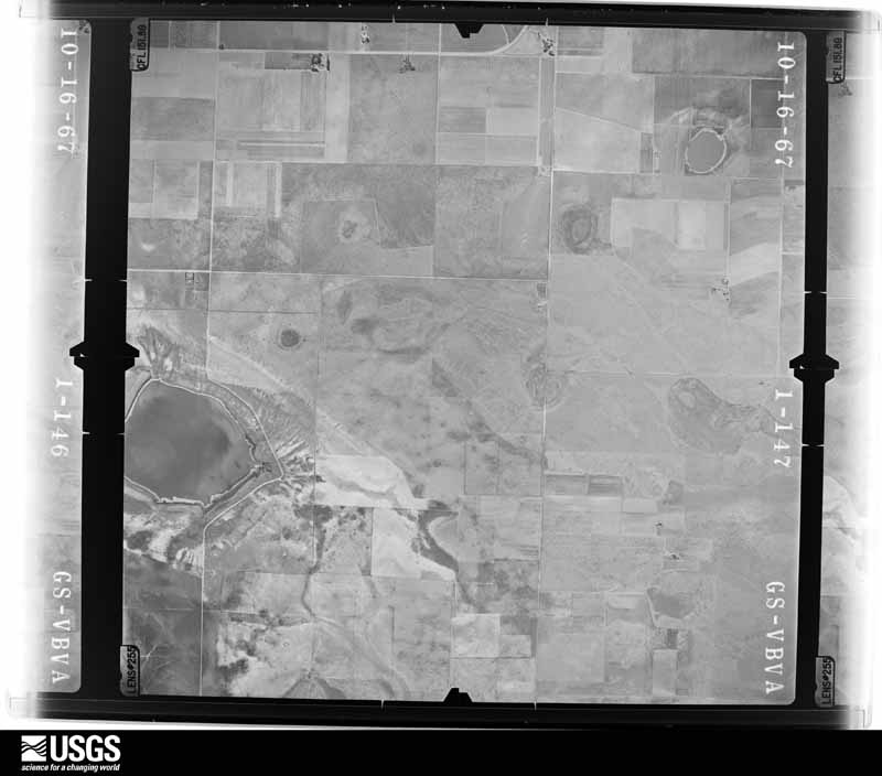
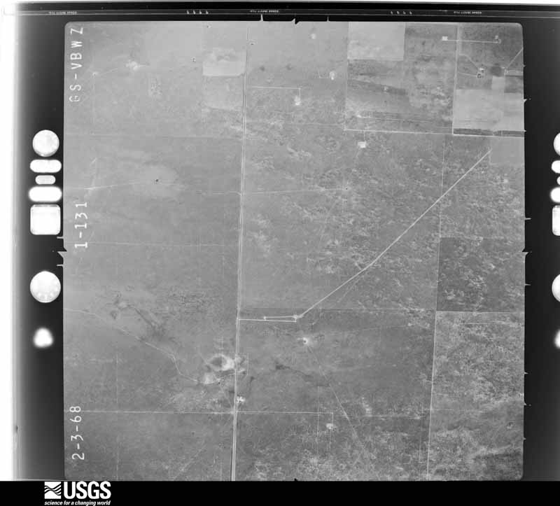
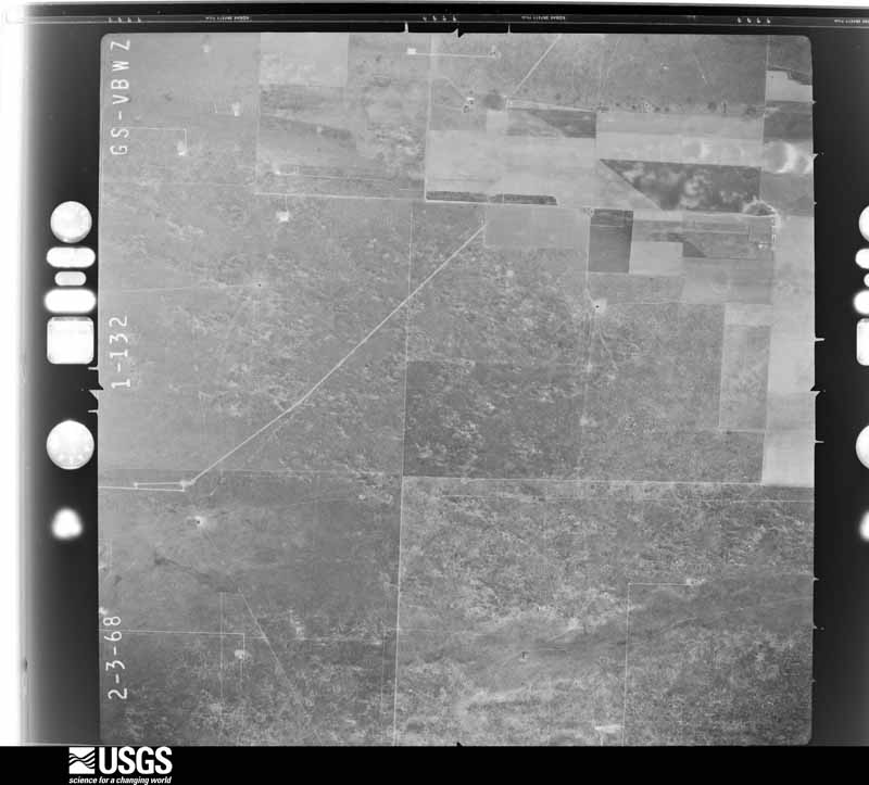
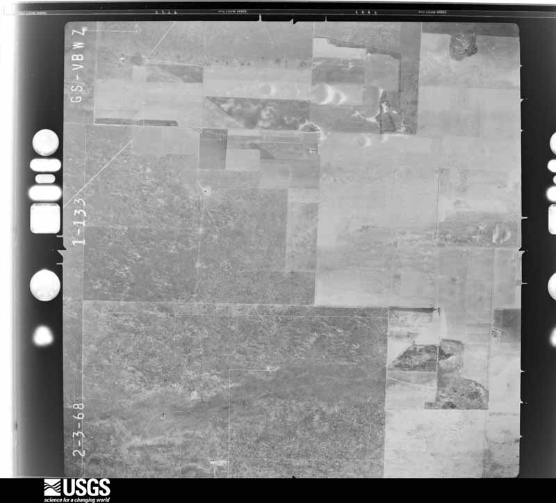
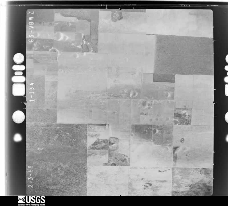
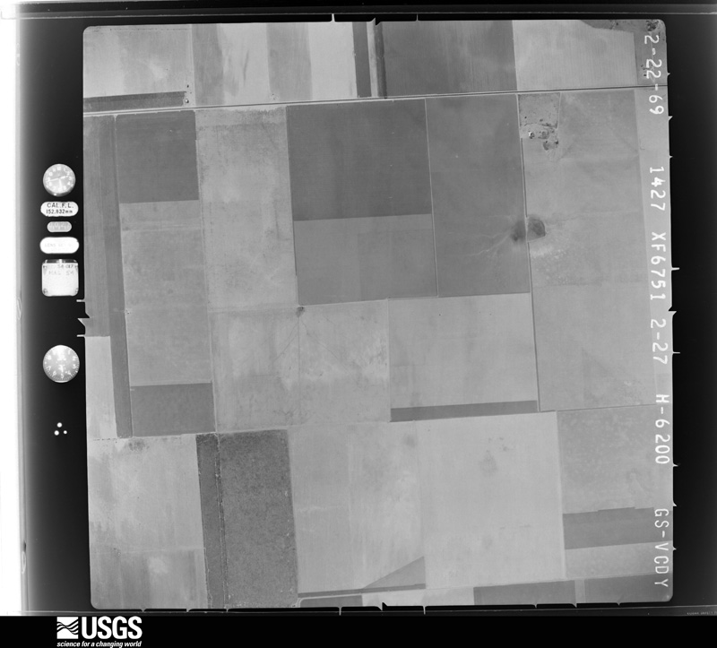
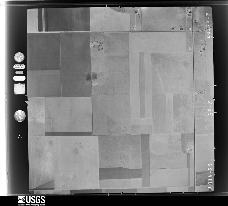
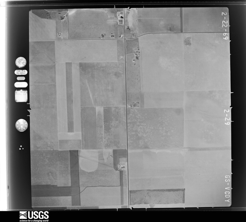
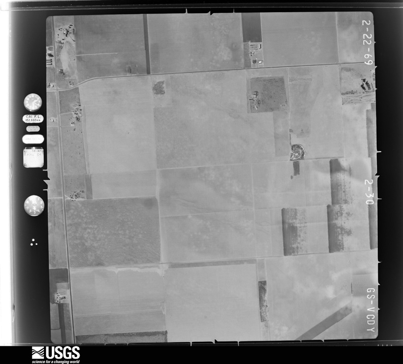
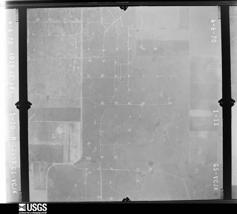
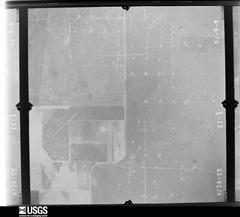
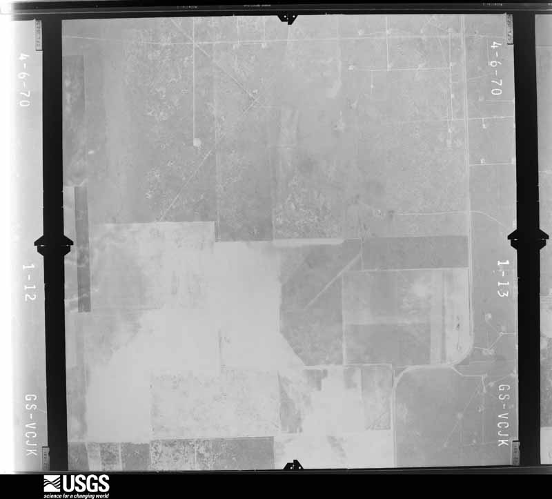
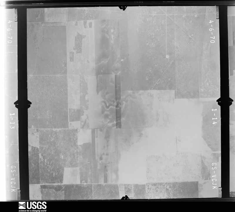
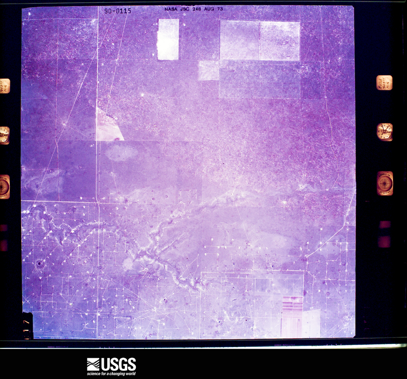
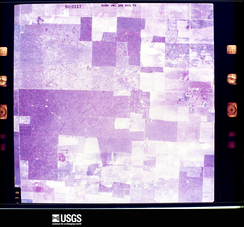
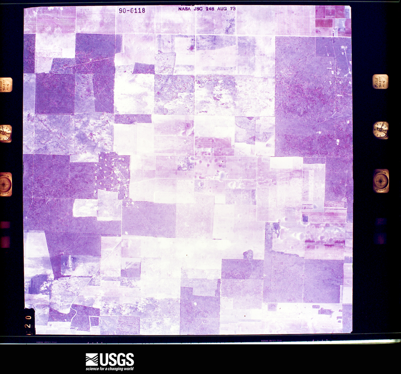
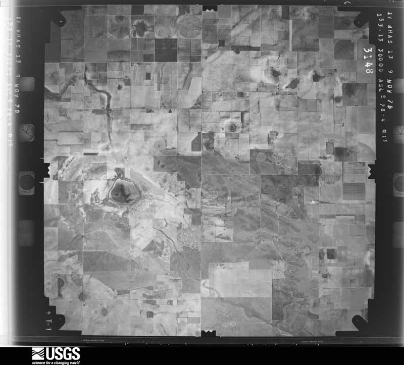
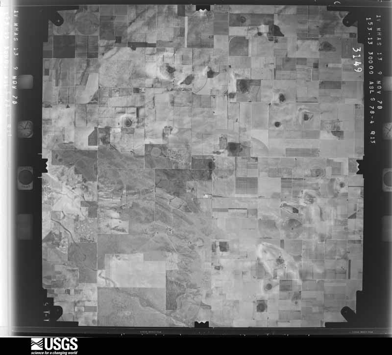
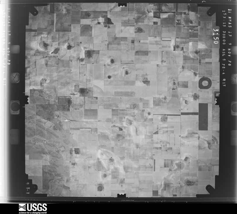
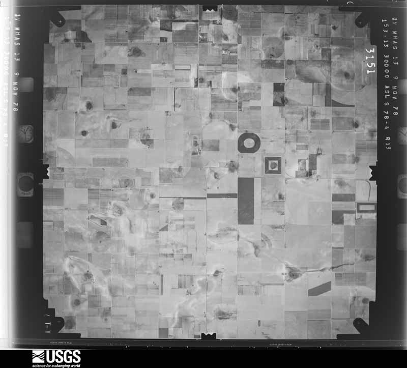
36 shownFlown by the U.S. Geological Survey between 1937 and 1989, the Aerial Photo Single Frames collection is the definitive mid-century view of the land: fields, roads and rivers as the camera saw them. The Survey holds 1,323 frames inside the rectangle that bounds this county; the 36 frames below were taken over the county itself, chosen across the decades of flights (at most four a year from that rectangle), so one flight cannot crowd out the rest. The full set is free to browse and download at EarthExplorer under the dataset Aerial Photo Single Frames.




Weather records
2 stationsThe thermometers that kept this county's weather, as the federal records hold them. The extremes below are measured values from those records, not estimates.
The 1950 census, district by district
10 districtsWho lived here in 1950, one enumeration district at a time, as the Census Bureau described each district. Each row opens its official National Archives result, with Population Schedules and ED Maps available there.
- 40-1Justice Precinct 1: Morton town: Morton town - That part Bounded by Town limits; Town limits; Washington Ave., Main, Wilson Ave.; W. 1st
- 40-2Morton town - That part Bounded by Town limits; W. 1st; Washington Ave.; Town limits
- 40-3Morton town - That part Bounded by Wilson Ave., Main, Washington Ave.; Town limits; Town limits; E. 1st
- 40-4Morton town - That part Bounded by Washington Ave., W. 1st, Wilson Ave., Main, Washington Ave.; E. 1st; Town limits; Town limits
- 40-5Justice Precinct 1 - That part east of State Hwy. 214 and northeast of State Hwy. 290, outside Morton town
- 40-6Justice Precinct 1 - That part west of State Hwy. 214 and southwest of State Hwy. 290, outside Morton town
- 40-7Justice Precinct 2: Whiteface town
- 40-8Justice Precinct 2 - That part outside Whiteface town
- 40-9Justice Precinct 3
- 40-10Justice Precinct 4
Wildfire, 2005 to 2019
61 firesEvery wildfire the federal occurrence database records inside this county: 61 of them, burning about 39,535 acres. 5 started naturally and none was recorded as arson. Each settlement page carries the fires within five miles of it.
| Reported cause | Fires |
|---|---|
| Missing data/not specified/undetermined | 33 |
| Equipment and vehicle use | 7 |
| Power generation/transmission/distribution | 6 |
| Natural | 5 |
| Debris and open burning | 5 |
| Misuse of fire by a minor | 4 |
| Smoking | 1 |
The five largest, by the area the report gives. None of them was recorded as arson.
| Date | Cause | Size | Reported by | Name on the report |
|---|---|---|---|---|
| 12 March 2006 | Missing data/not specified/undetermined | 9,600 acres | Texas A & M Forest Service | FM 214 & CR 210 |
| 18 June 2011 | Missing data/not specified/undetermined | 9,296 acres | Texas A & M Forest Service | FATHER'S DAY FIRE |
| 16 February 2011 | Missing data/not specified/undetermined | 5,000 acres | Texas A & M Forest Service | WHITEFACE FIRE |
| 27 December 2005 | Missing data/not specified/undetermined | 3,000 acres | Texas A & M Forest Service | not named |
| 15 March 2018 | Equipment and vehicle use | 2,500 acres | Texas A & M Forest Service | BEGS |
| 15 April 2019 | Missing data/not specified/undetermined | 1,000 acres | Texas A & M Forest Service | COCHRAN 1585 |
| 11 April 2012 | Debris and open burning | 1,000 acres | Texas A & M Forest Service | GRASS FIRE |
| 10 April 2012 | Power generation/transmission/distribution | 1,000 acres | Texas A & M Forest Service | GRASS FIRE |
Every settlement page carries the fires within five miles of it - see the settlement index below.
Storms, 1956 to 2025
60 of 266 shownThe NOAA Storm Events Database holds 266 reports for this county, causing no deaths, 20 injuries and about $31,028,000 in recorded property damage. Each settlement page carries the reports that name it.
| Kind of event | Reports |
|---|---|
| Hail | 132 |
| Thunderstorm Wind | 84 |
| Tornado | 38 |
| Flash Flood | 9 |
| Heavy Rain | 2 |
| Flood | 1 |
The most serious of them, by death, then injury, then recorded damage. The accounts are quoted exactly as the forecast office filed them.
| When | Event | Place named | Harm | What the report says |
|---|---|---|---|---|
| April 1970 | Tornado (F4) | not stated | 20 hurt, $25,000,000 | no account filed |
| July 2009 | Hail | Morton | $3,000,000 | A pair of slow moving and short-lived thunderstorms resulted in significant damage to cotton crops in northeastern Cochran County during the 17:00 CST hour of the 21st. Local newspaper reports and agricultural officials indicate that up to 15,000 acres of cotton were damaged or destroyed. Although reports did not specify hail size, estimates indicated here are based on damage and radar depictions of well-defined reflectivity three-body scatter artifacts. |
| July 2009 | Thunderstorm Wind | Morton | $1,500,000 | The high-precipitation supercell that impacted Parmer and Bailey Counties continued southward over Cochran County during the 19:00 CST hour of the 17th. A swath of very intense damaging winds continued from southern Bailey County across northeastern Cochran County. The Texas Tech University West Texas Mesonet site near Morton initially recorded a gust of 58 mph at 19:15 CST. A subsequent gust of 77 mph was recorded at 19:20 CST. By 19:25 CST, however, a peak gust of 93 mph was measured by the Morton mesonet site. Damage was reported to be extensive in the Morton area. The damage swath additionally extended southward to Whiteface, where by 19:55 CST a 64 mph gust was measured at the Texas Tech University West Texas Mesonet site south of Whiteface. Up to 300 utility poles were blown down by the winds across the eastern half of the county, and tree damage was reported to be extensive. At least two aged structures were severely damaged or destroyed by the winds in Morton, as well as a number of light weight structures such as carports and barns. The winds were occasionally accompanied by large hail up to the size of nickels, and this contributed to large agricultural losses. |
| June 2014 | Hail | Lehman | $302,000 | While investigating a fatal plane crash near Lehman, broadcast media reported that a family nearby was caught in a hailstorm while in their car. The family estimated the hail was as large as ping pong balls which caused numerous dents to their vehicle after pulling off the road. NTSB personnel had not yet released the official findings of their study at the time of this publication, but preliminary evidence indicates that the severe thunderstorm contributed to the aircraft mishap which claimed the lives of all three occupants. This information is subject to change pending the results of the NTSB investigation. The value of the 1985 Piper PA-46-310P was estimated at $300K. |
| June 2003 | Thunderstorm Wind | Morton | $300,000 | Strong thunderstorm wind damaged 34 center pivot irrigation systems, blew down 19 power poles, uprooted trees, and blew down signs. |
| March 2007 | Tornado (EF2) | Morton | $175,000 | The Levelland Fire Department reported a second tornado west-northwest of Morton shortly before 22:30 CST. A National Weather Service damage survey found evidence of a strong tornado that developed west of Morton and crossed Texas Highway 114 as it tracked north-northwestward through north-central Cochran county. The tornado impacted the Star Route Gin, which sustained severe damage including the partial collapse of the structure. Concrete anchors were pulled out of the ground and portions of the steel roof beams were heavily damaged.|The tornado continued north-northwestward across Farm to Market Road 596 where the tornado destroyed at least three irrigation systems and snapped more than one dozen utility poles. |Damage at the Star Route Gin and the snapped utility poles support an EF-2 rating. No injuries were reported and damage estimates totaled $175,000. |
| July 2015 | Flood | Bledsoe | $100,000 | no account filed |
| March 2007 | Tornado (EF0) | Morton | $80,000 | A tornado was observed by the Levelland Fire Department southwest of Morton around 22:20 CST. A National Weather Service damage survey revealed that the tornado crossed Farm to Market Road 169 causing damage to the Southwest Gin. The southern end of the gin's main structure collapsed and a secondary metal structure was shifted off of its foundation. The debris was thrown north-northeastward along the tornado's path. No injuries were reported. Property damages totaled $80,000. Event times estimated by radar. |
| June 2004 | Hail | Morton | $75,000 | Citizen reported golfball to baseball sized hail broke windows and windshields. |
| June 2008 | Hail | Morton | $50,000 | Multiple reports of large hail were received from the Morton vicinity shortly before 21:00 CST on the 17th. Very large hail was initially reported near the Southwest Gin south of Farm to Market Road 114 west of Morton at 20:45 CST. By 20:55 CST golf ball size hail reportedly fell in Morton. Minor damages were reported to vehicles and structures. |
| May 2002 | Hail | Whiteface | $50,000 | Storm spotters affiliated with the Morton FD reported golfball size hail. |
| June 1997 | Hail | Whiteface | $50,000 | no account filed |
| May 2001 | Thunderstorm Wind | Morton | $40,000 | A center pivot irrigation system was destroyed by strong thunderstorm wind. |
| May 1996 | Hail | Morton | $30,000 | no account filed |
| August 2008 | Heavy Rain | Morton | $25,000 | Thunderstorms produced heavy rainfall in the Morton vicinity during the late afternoon hours of the 13th, including a deluge of 0.35 inches in a five minute period per the Texas Tech University West Texas Mesonet. The heavy rain caused ponding of minor flood waters over a number of streets and caused a dam to wash out at the Morton Country Club. |
| August 2004 | Hail | Lehman | $25,000 | Law enforcement officials reported golfball size hail. |
| June 2003 | Thunderstorm Wind | Whiteface | $25,000 | Strong thunderstorm wind blew down power poles and damaged a roof. |
| June 2003 | Hail | Whiteface | $25,000 | no account filed |
| June 1996 | Hail | Morton | $25,000 | no account filed |
| May 1969 | Tornado (F0) | not stated | $25,000 | no account filed |
| June 2003 | Thunderstorm Wind | Morton | $20,000 | An amateur radio storm spotter reported several snapped power poles. |
| June 1997 | Hail | Whiteface | $20,000 | no account filed |
| June 1997 | Hail | Whiteface | $20,000 | no account filed |
| May 1998 | Thunderstorm Wind | Whiteface | $15,000 | no account filed |
| June 2008 | Thunderstorm Wind | Morton | $10,000 | A local newspaper reported that a tin roof was partially blown off of a home in Morton. The damage occurred as a linear complex of thunderstorms moved through the area. A Texas Tech University West Texas Mesonet site just one mile away recorded a peak gust of 34 mph, and no other wind damage was reported in Morton or the surrounding areas of Cochran County. Therefore, it is estimated the damage likely resulted from winds around 50 mph. |
| May 2001 | Flash Flood | North Portion | $10,000 | The northern portion of the county received between five and ten inches of rain in several hours. Portions of Farm-to-Market Road 596 and several other secondary roads were flooded. The engine of a center pivot irrigation system remained underwater for at least five days. |
| June 1999 | Thunderstorm Wind | Whiteface | $10,000 | Strong wind damaged an irrigation system. |
| May 2022 | Tornado (EFU) | Morton Cochran Co Ar | $5,000 | A cyclic tornadic supercell produced several tornadoes over a period of approximately two hours. An NWS storm survey revealed that this supercell produced nine separate tornadoes. This tornado was the sixth tornado. A brief condensation funnel extended to the ground from the cloud for approximately two minutes near the intersection if County Roads 98 and 197 southeast of Morton as reported by a storm chaser. A power flash was observed with this tornado. |
| June 1997 | Tornado (F0) | Whiteface | $5,000 | no account filed |
| April 1973 | Tornado (F1) | not stated | $2,500 | no account filed |
| April 1973 | Tornado (F1) | not stated | $2,500 | no account filed |
| October 1971 | Tornado (F1) | not stated | $2,500 | no account filed |
| June 1965 | Tornado (F2) | not stated | $2,500 | no account filed |
| May 1992 | Tornado (F1) | not stated | $250 | no account filed |
| June 1961 | Tornado (F0) | not stated | $250 | no account filed |
| June 1961 | Tornado (F0) | not stated | $250 | no account filed |
| June 1961 | Tornado (F0) | not stated | $250 | no account filed |
| June 2025 | Tornado (EF2) | Morton | - | An intense cyclic supercell thunderstorm produced a total of eight known tornadoes over portions of Cochran, Hockley, and Lubbock Counties. This was the second of the tornadoes. Shortly after the first tornado, the supercell produced a strong wedge-type tornado several miles northwest of Morton which destroyed multiple large wooden power poles as it tracked eastward. Numerous storm chasers documented this tornado as it crossed Texas Highway 214 about four miles north of Morton before dissipating over northeastern Cochran County. |
| June 2025 | Tornado (EFU) | Morton Cochran Co Ar | - | An intense cyclic supercell thunderstorm produced a total of eight known tornadoes over portions of Cochran, Hockley, and Lubbock Counties. This was the third of the tornadoes. No damage was observed or reported with this tornado, however, it was directly observed by mobile research radar. This tornado began in far eastern Cochran County before moving into far western Hockley County. |
| June 2025 | Hail | Morton Cochran Co Ar | - | Storm chasers reported a swath of hail along Farm to Market Road 597 southwest of Pep in Cochran County. Hail ranged in size from golf ball to 3.25 inches in diameter. No damage was reported at the time. |
| June 2025 | Tornado (EFU) | Bledsoe | - | An intense cyclic supercell thunderstorm produced a total of eight known tornadoes over portions of Cochran, Hockley, and Lubbock Counties. This was the first of the tornadoes. At least one brief tornado was observed by storm chasers over far northwestern Cochran County that moved over open country and produced no known damage. |
| June 2025 | Hail | Lehman | - | Several storm chasers reported hail south of Lehman along Texas State Highway 214 ranging in size from quarters to baseball size. No damage was reported at the time. |
| June 2025 | Hail | Whiteface | - | Several storm chasers reported hail south of Whiteface ranging in size from ping pong ball to tennis ball size. No damage was reported at the time. |
| June 2025 | Thunderstorm Wind | Morton | - | A Texas Tech University West Texas mesonet site near Morton measured a wind gust of 64 mph. |
| June 2025 | Thunderstorm Wind | Whiteface | - | A Texas Tech University West Texas mesonet site near Sundown measured a severe wind gust of 60 mph. |
| July 2024 | Thunderstorm Wind | Whiteface | - | A Texas Tech University West Texas mesonet site near Sundown measured severe wind gusts from 1601 CST through 1611 CST. A peak wind gust of 68 mph was measured at 1602 CST. |
| June 2024 | Thunderstorm Wind | Morton | - | A Texas Tech University West Texas mesonet site near Morton measured a wind gust to 59 mph. |
| May 2024 | Hail | Morton | - | Storm chasers reported a swath of hail north of Morton with sizes ranging from quarters to two inches in diameter. No damage was reported. |
| May 2024 | Thunderstorm Wind | Morton | - | A Texas Tech University West Texas mesonet site near Morton measured severe wind gusts from 2354 CST through 2355 CST. A peak wind gust of 62 mph was measured at 2354 CST. |
| May 2024 | Hail | Lehman | - | A storm chaser reported hail as large as two inches in diameter along Texas State Highway 214 north of the Cochran/Yoakum County line. No damage was reported. |
| May 2024 | Thunderstorm Wind | Whiteface | - | A Texas Tech University West Texas mesonet site near Sundown measured severe wind gusts from 2121 CST through 2127 CST. A peak wind gust of 59 mph was measured at 2127 CST. |
| May 2024 | Hail | Bledsoe | - | An off-duty NWS employee and several storm chasers reported hail in the vicinity of Bledsoe ranging from the size of quarters to golf balls. |
| May 2023 | Hail | Bledsoe | - | Observations from a cooperative weather observer in Bledsoe and a storm chaser south of Morton reported a swath of up to baseball size hail. The hail became wind driven around Bledsoe which caused damage to several buildings. |
| May 2023 | Thunderstorm Wind | Morton | - | A Texas Tech University West Texas mesonet site near Morton measured a severe wind gust of 67 mph. |
| May 2023 | Hail | Morton | - | Law enforcement reported quarter size hail in the city of Morton. |
| May 2023 | Flash Flood | Morton | - | A slow moving thunderstorm produced heavy rainfall over a portion of northern Cochran County which caused flash flooding. Law enforcement reported flooding on roadways at several locations in rural Cochran County. |
| May 2023 | Thunderstorm Wind | Bledsoe | - | A storm chaser estimated wind gusts up to 60 mph along Farm to Market Road 1585 near the Texas/New Mexico state line in Cochran County. |
| July 2023 | Thunderstorm Wind | Whiteface | - | A Texas Tech University West Texas mesonet site near Sundown measured severe wind gusts from 2147 CST through 2151 CST. A peak wind gust of 66 mph was measured at 2151 CST. |
| October 2023 | Hail | Whiteface | - | An emergency management official reported hail up to golf ball size in Whiteface. |
| October 2023 | Thunderstorm Wind | Whiteface | - | A Texas Tech University West Texas mesonet site near Sundown measured severe wind gusts from 1903 CST through 1908 CST. A peak wind gust of 68 mph was measured at 1908 CST. |
Every populated place in the county
9Named settlements recorded in the Geographic Names Information System, each with the topographic sheets covering it. Villages, hamlets and abandoned places alike. Each is shown with the nearest named watercourse or landform and the survey quadrangle it falls on.
-
Star Route
Morton census division · 79346 · Morton quadrangle
7 sheets, 1954 to 1985
No longer a settlement
The vanished settlements of Cochran County: the places named above that are no longer on the map.
Provenance
- Topographic sheets. USGS Historical Topographic Map Collection, county index, measured from the bulk metadata.
- Fire insurance maps. Library of Congress Sanborn collection, faceted to this county.
- Photographs. Each place queried individually against the Library of Congress Prints and Photographs search.
- Wildfire. Short, Karen C. 2022. Spatial wildfire occurrence data for the United States, 1992-2020 [FPA_FOD_20221014]. 6th Edition. Fort Collins, CO: Forest Service Research Data Archive. https://doi.org/10.2737/RDS-2013-0009.6 Collected with United States Government funding and usable without additional permissions or fees.
- Mines and quarries. USGS Mineral Resources Data System (MRDS) https://mrdata.usgs.gov/mrds/ A work of the United States government, no copyright under 17 U.S.C. 105.
- Storms. NOAA National Centers for Environmental Information, Storm Events Database https://www.ncei.noaa.gov/stormevents/ A work of the United States government, no copyright under 17 U.S.C. 105. Narratives are quoted verbatim from the National Weather Service report and are not edited or summarised.