 Block
BlockFrom the record
1 National Register listing published here.
Sources: the National Register database, National Park Service
44 topographic sheets cover 9 settlements here, and 1 property is on the National Register of Historic Places.
1 National Register listing published here.
Sources: the National Register database, National Park Service
Every property in this county listed on the National Register of Historic Places, with the year it was listed and the federal nomination document.
| Photograph | Property | Type | Listed | Reference |
|---|---|---|---|---|
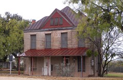 | Coke County Jail | building | 2004 | 04001395 |
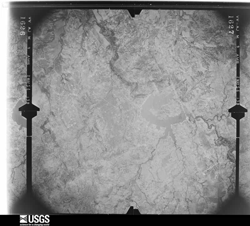
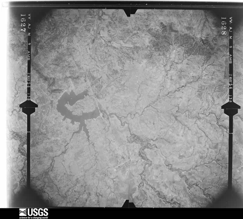
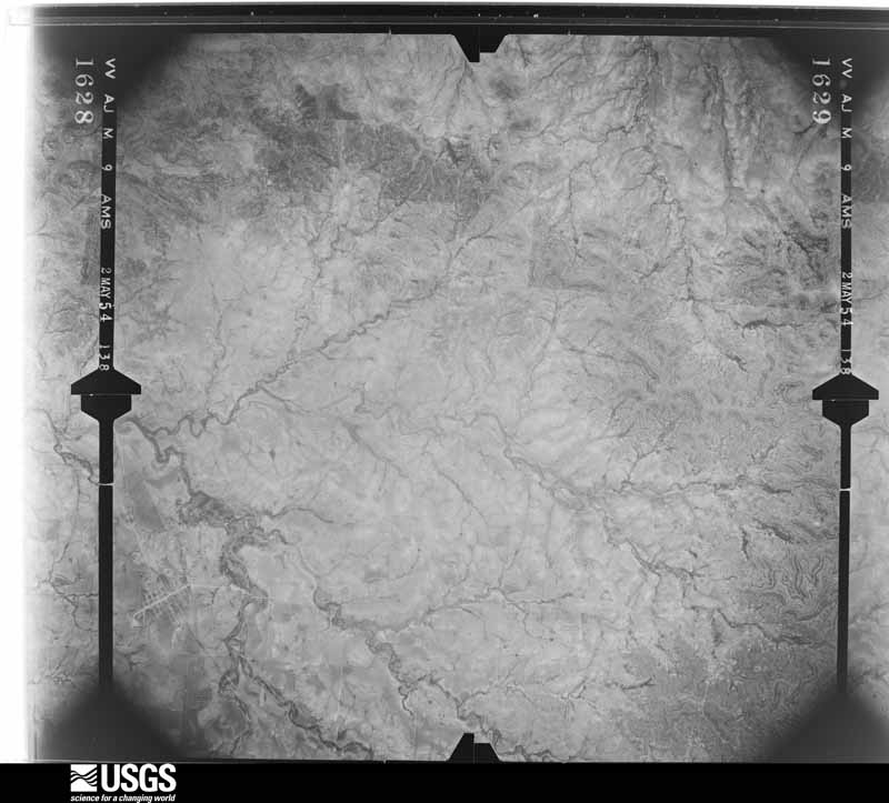
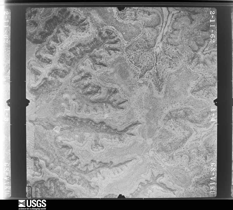
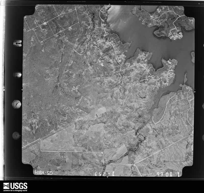
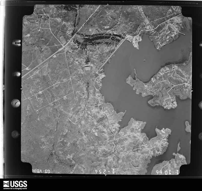
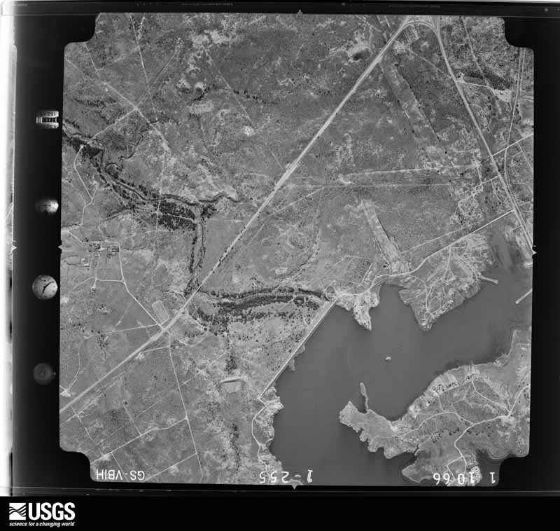
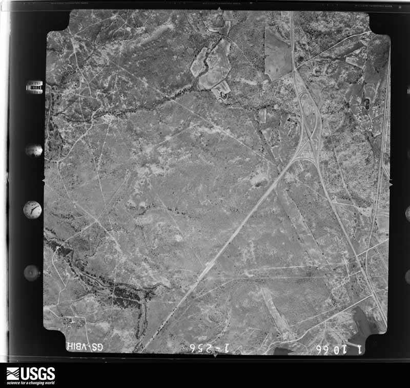
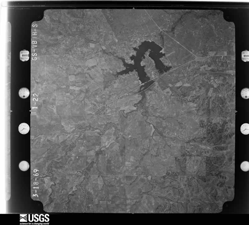
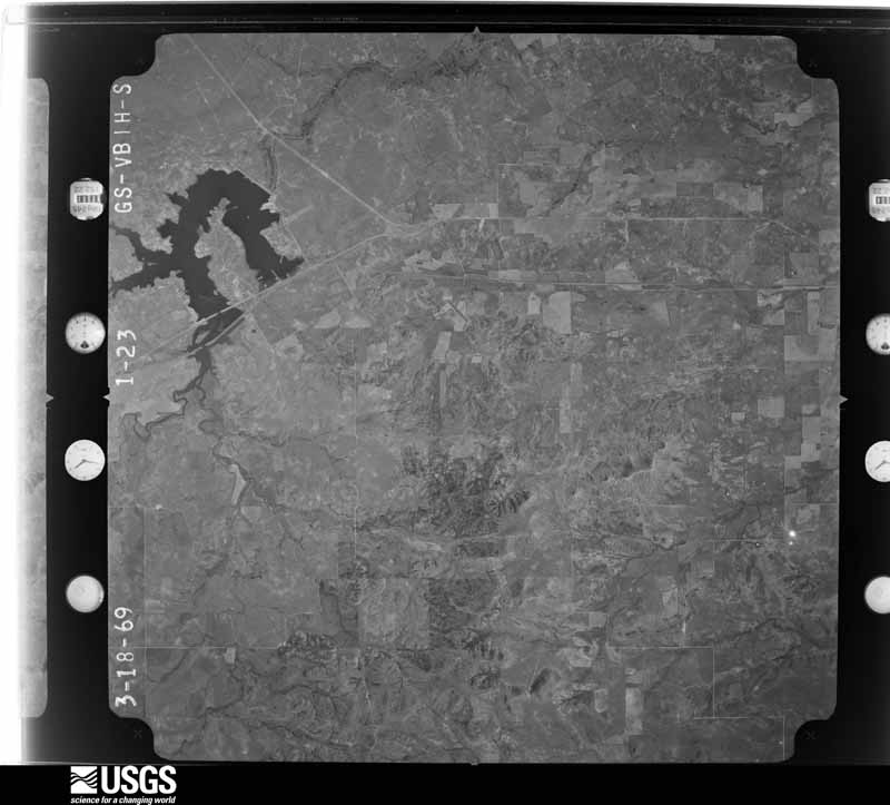
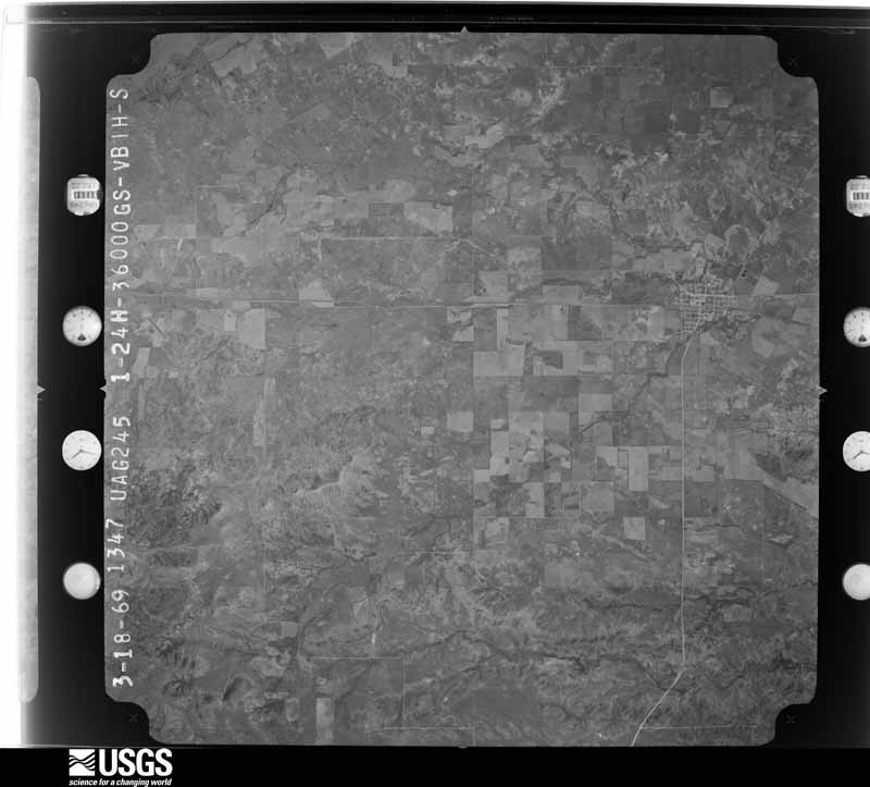
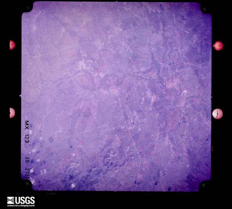
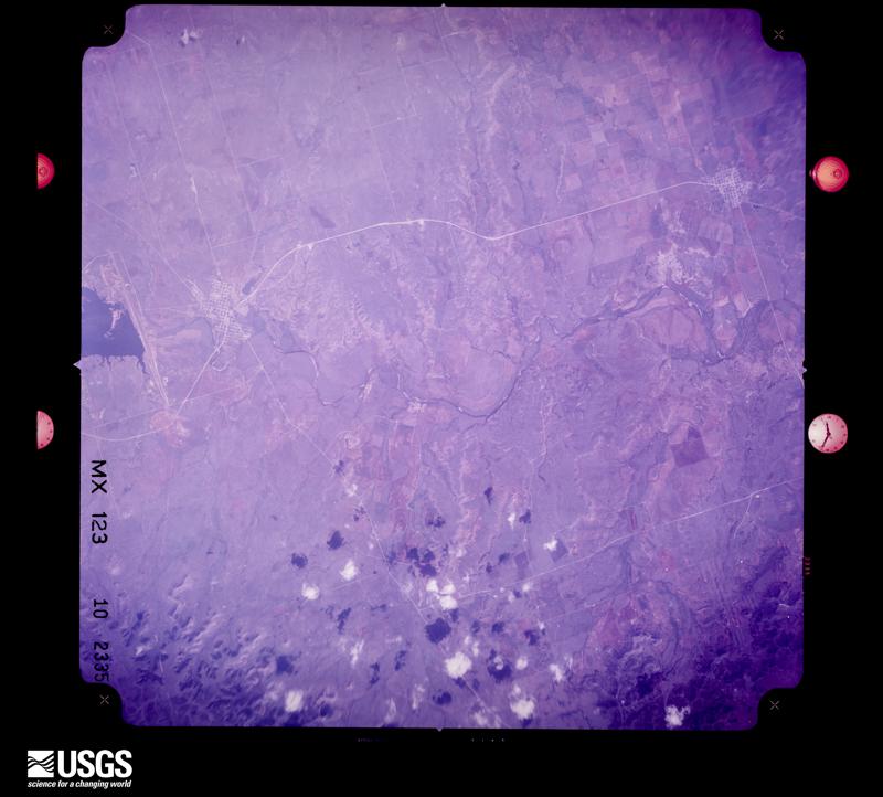
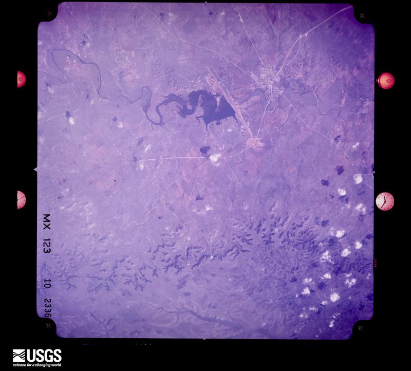
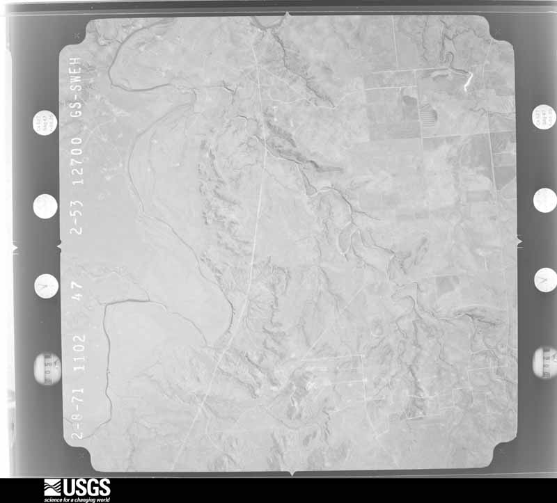
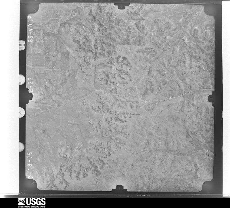
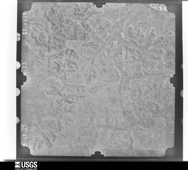
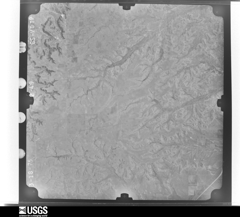
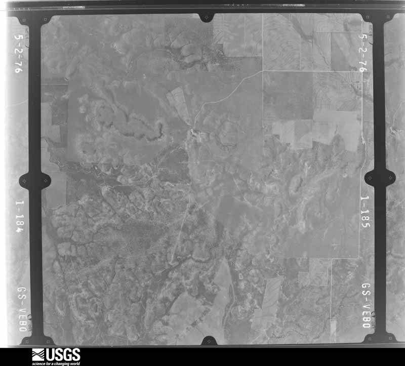
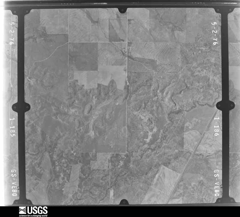
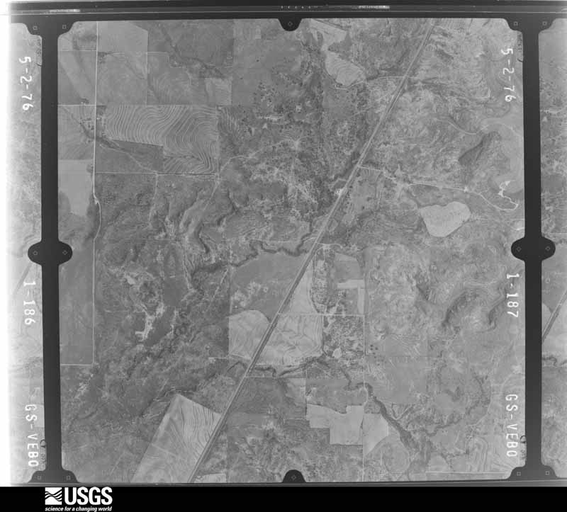
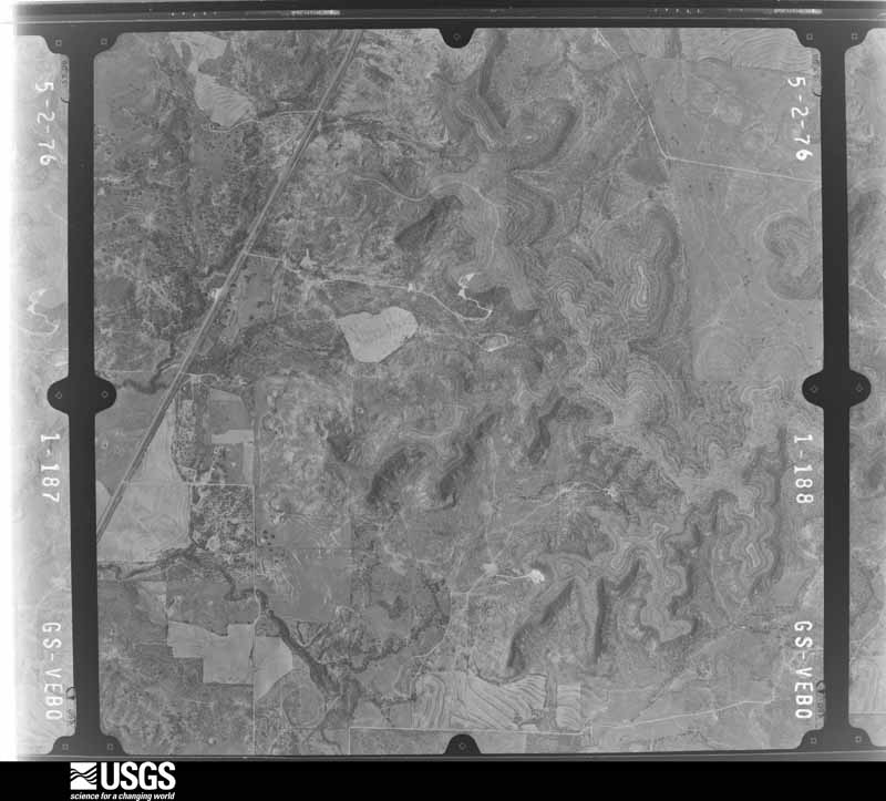
Flown by the U.S. Geological Survey between 1937 and 1989, the Aerial Photo Single Frames collection is the definitive mid-century view of the land: fields, roads and rivers as the camera saw them. The Survey holds 701 frames inside the rectangle that bounds this county; the 35 frames below were taken over the county itself, chosen across the decades of flights (at most four a year from that rectangle), so one flight cannot crowd out the rest. The full set is free to browse and download at EarthExplorer under the dataset Aerial Photo Single Frames.
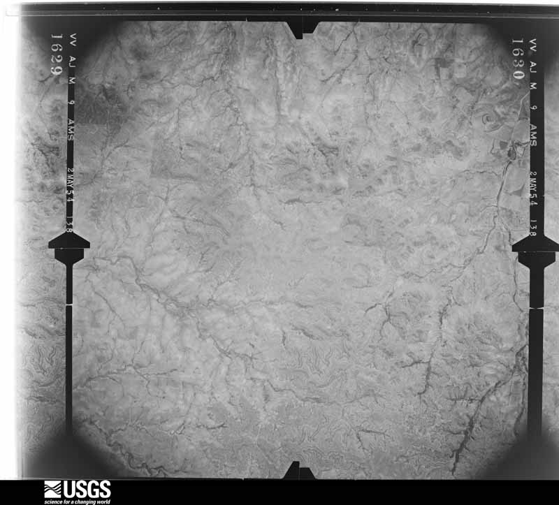
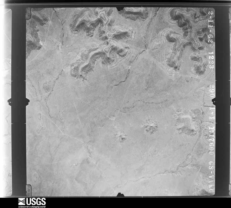
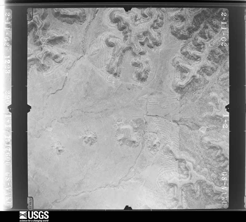
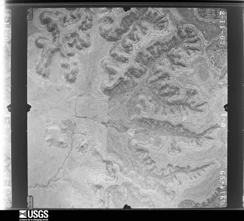

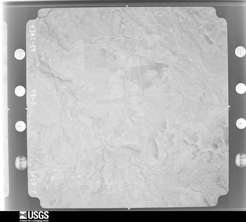
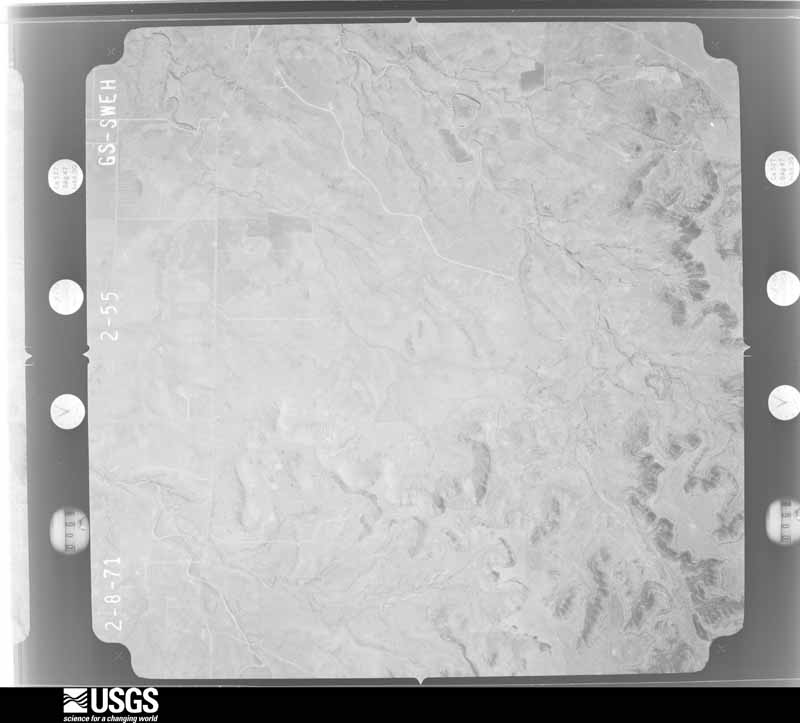
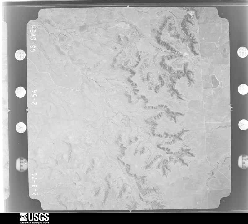
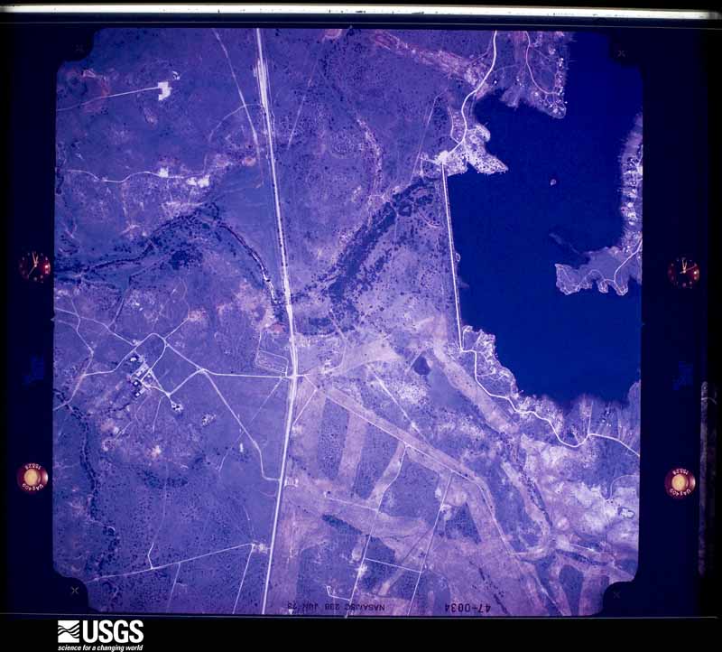
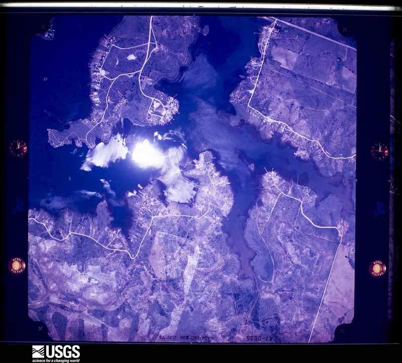
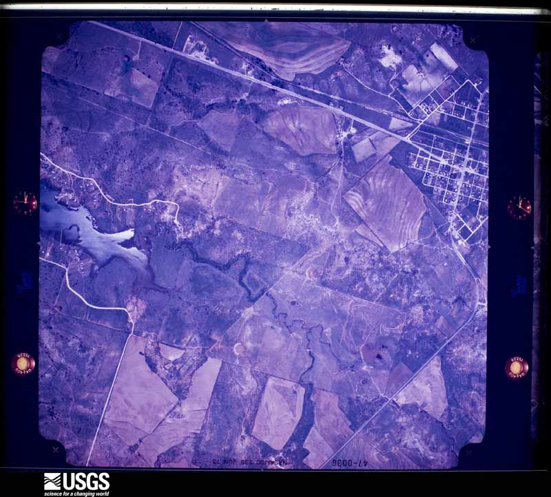
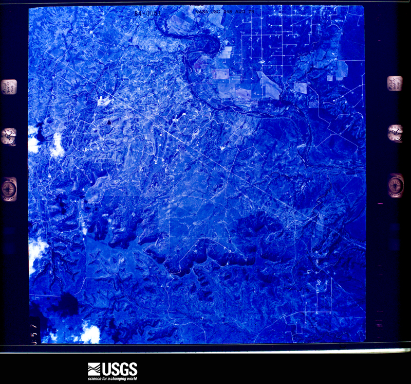
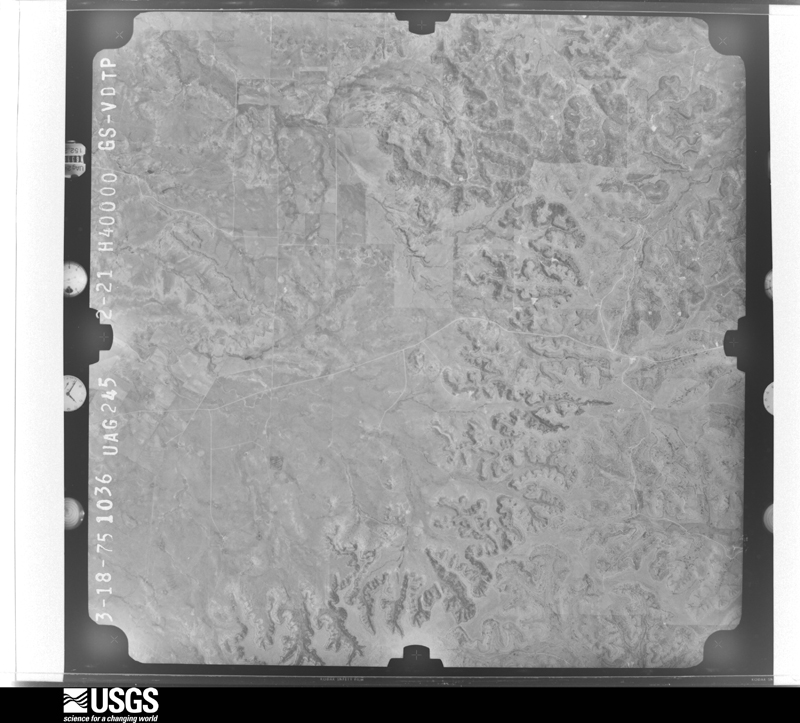
The thermometers that kept this county's weather, and the gages that measured the flow of its streams, as the federal records hold them. The extremes below are measured values from those records, not estimates.
Who lived here in 1950, one enumeration district at a time, as the Census Bureau described each district. Each row opens its official National Archives result, with Population Schedules and ED Maps available there.
Every wildfire the federal occurrence database records inside this county: 149 of them, burning about 288,600 acres. 36 started naturally and 3 were recorded as arson. Each settlement page carries the fires within five miles of it.
| Reported cause | Fires |
|---|---|
| Missing data/not specified/undetermined | 44 |
| Natural | 36 |
| Equipment and vehicle use | 27 |
| Debris and open burning | 24 |
| Power generation/transmission/distribution | 11 |
| Arson/incendiarism | 3 |
| Smoking | 2 |
| Recreation and ceremony | 2 |
The five largest, by the area the report gives. None of them was recorded as arson.
| Date | Cause | Size | Reported by | Name on the report |
|---|---|---|---|---|
| 10 April 2011 | Natural | 158,308 acres | Texas A & M Forest Service | WILDCAT FIRE |
| 20 June 2011 | Missing data/not specified/undetermined | 72,473 acres | Texas A & M Forest Service | WHITE HAT FIRE |
| 25 February 2008 | Missing data/not specified/undetermined | 20,200 acres | Texas A & M Forest Service | SILVER FIRE |
| 8 June 2011 | Equipment and vehicle use | 19,391 acres | Texas A & M Forest Service | DOS AMIGOS FIRE |
| 13 June 2020 | Debris and open burning | 4,216 acres | Texas A & M Forest Service | MCDANIEL |
| 6 July 2011 | Power generation/transmission/distribution | 2,120 acres | Texas A & M Forest Service | MALONE FIRE |
| 13 June 2004 | Natural | 1,835 acres | Texas A & M Forest Service | ROLLING PLAINS - 2 |
| 15 March 2006 | Equipment and vehicle use | 1,120 acres | Texas A & M Forest Service | TEMPLIN |
Every settlement page carries the fires within five miles of it - see the settlement index below.
The NOAA Storm Events Database holds 269 reports for this county, causing no deaths, 7 injuries and about $1,149,080 in recorded property damage. Each settlement page carries the reports that name it.
| Kind of event | Reports |
|---|---|
| Hail | 170 |
| Thunderstorm Wind | 65 |
| Tornado | 16 |
| Flash Flood | 14 |
| Wildfire | 1 |
| Funnel Cloud | 1 |
| Lightning | 1 |
| Flood | 1 |
The most serious of them, by death, then injury, then recorded damage. The accounts are quoted exactly as the forecast office filed them.
| When | Event | Place named | Harm | What the report says |
|---|---|---|---|---|
| September 1990 | Hail | not stated | 5 hurt | no account filed |
| July 1995 | Thunderstorm Wind | Bronte | 2 hurt, $10,000 | no account filed |
| May 1994 | Thunderstorm Wind | Oak Creek Reservoir | $500,000 | no account filed |
| May 2002 | Thunderstorm Wind | Robert Lee | $250,000 | The second severe thunderstorm of the day that moved across Robert Lee produced winds up to 80 MPH causing damage to numerous houses and carports. |
| June 1997 | Hail | Tennyson | $100,000 | no account filed |
| November 1996 | Thunderstorm Wind | Robert Lee | $50,000 | no account filed |
| May 2007 | Hail | Robert Lee | $30,000 | Hail lasted for several minutes. Damage to roofs and cars was observed. |
| May 2005 | Hail | Robert Lee | $30,000 | The final severe thunderstorm for the evening developed just to the north of Robert Lee. This thunderstorm maxed out right over Robert Lee producing soft ball size hail and winds to 87 mph. This produced significant damage to vehicles and some houses. |
| June 1969 | Tornado (F2) | not stated | $25,000 | no account filed |
| July 2005 | Thunderstorm Wind | Robert Lee | $23,000 | Mobile home had the roof blown off, power lines were downed, and tree limbs downed. |
| June 2007 | Hail | Bronte | $12,000 | Large hail damaged homes and vehicles. |
| April 2006 | Hail | Robert Lee | $10,000 | Windows broken throughout Robert Lee due to hail. |
| March 2004 | Thunderstorm Wind | Bronte | $10,000 | Several roofs had damage and trees were knocked down all over town. The metal roof of a gas station shed was lifted and thrown several yards into a house to the east of the gas station. |
| June 2004 | Thunderstorm Wind | Silver | $10,000 | Several miles of power lines were blown down in northwestern portions of Coke county. |
| June 2003 | Flash Flood | Robert Lee | $10,000 | Road washouts reported. |
| May 2002 | Hail | Robert Lee | $10,000 | There was some roof and car damage from the storms in Robert Lee. These storms brought Golfball size hail and high winds. |
| June 1997 | Thunderstorm Wind | Oak Creek Res | $10,000 | Large tree branches were broken. |
| May 2005 | Hail | Robert Lee | $10,000 | no account filed |
| May 2005 | Hail | Sanco | $8,000 | The hail damaged vehicles. |
| May 2005 | Hail | Bronte | $8,000 | Vehicle damage due to hail. |
| July 2011 | Lightning | Edith | $5,000 | A lightning strike damaged a chimney and a television. |
| May 2001 | Thunderstorm Wind | Bronte | $5,000 | Several outbuildings were damaged by high winds. |
| May 1999 | Thunderstorm Wind | Robert Lee | $5,000 | Several homes in Robert Lee suffered roof damage as high winds blew through the town. Two mobile homes were also lightly damaged. |
| May 2005 | Hail | Robert Lee | $5,000 | no account filed |
| July 2005 | Thunderstorm Wind | Robert Lee | $3,000 | Damage to power poles. |
| June 2003 | Thunderstorm Wind | Robert Lee | $3,000 | no account filed |
| July 1953 | Tornado (F2) | not stated | $2,500 | no account filed |
| August 1999 | Wildfire | Countywide | $2,000 | Lightning set off a wildfire across the southwestern sections of the county. |
| March 2007 | Thunderstorm Wind | Robert Lee Arpt | $1,000 | Thunderstorm winds knocked down trees near Robert Lee. |
| March 2007 | Hail | Robert Lee | $1,000 | Quarter size hail reported in Robert Lee. |
| May 1993 | Hail | Robert Lee | $500 | Amateur radio spotters reported quarter-size hail in Robert Lee. No significant damage resulted. |
| May 1993 | Hail | Bronte | $50 | no account filed |
| April 1978 | Tornado (F0) | not stated | $30 | no account filed |
| May 2025 | Hail | Robert Lee | - | Public reported quarter size hail on social media. |
| April 2025 | Hail | Edith | - | The public reported 2 inch diameter hail. |
| April 2025 | Hail | Robert Lee Arpt | - | A trained spotter measured hail at 2.25 inches 4 miles west of Robert Lee. |
| April 2025 | Hail | Robert Lee Arpt | - | Public reported quarter size hail. |
| April 2025 | Hail | Tennyson | - | Public reported quarter size hail. |
| April 2025 | Hail | Tennyson | - | Public reported golf ball size on social media, 2 miles east-northeast of Tennyson. |
| January 2024 | Hail | Robert Lee | - | A trained storm spotter reported ping pong ball size hail on Highway 208 just south of Robert Lee, Texas. |
| January 2024 | Hail | Edith | - | Public reported quarter size hail. |
| May 2024 | Hail | Oak Creek Res | - | The public reported baseball size hail 10 miles north of Bronte. |
| May 2024 | Hail | Edith | - | Public reported ping pong ball size hail. |
| May 2024 | Hail | Tennyson | - | A trained spotter reported two inch size hail south of Robert Lee. |
| May 2024 | Hail | Tennyson | - | A trained spotter reported golf ball size hail. |
| May 2024 | Hail | Tennyson | - | Public reported on social media ping pong ball size hail. |
| May 2024 | Hail | Bronte | - | Public reported quarter size hail. |
| May 2024 | Hail | Tennyson | - | Trained spotter reported golf ball size hail. |
| May 2024 | Hail | Edith | - | County 911 dispatch reported golf ball size hail. |
| May 2024 | Tornado (EF2) | Silver | - | The Silver Tornado damaged a private property just north of FM2029.|The roof of a ranch house was completely ripped off but the walls |remained standing. The tornado also completely destroyed a metal |barn and threw building material a considerable distance away from|the house and barn. The estimated peak wind of the tornado was 125 mph. |
| May 2024 | Hail | Silver | - | Public reported lime size hail in Silver. |
| May 2024 | Hail | Bronte | - | Public reported baseball size hail 3.5 miles south of Bronte. |
| May 2024 | Tornado (EF3) | Robert Lee Arpt | - | The Robert Lee Tornado completely destroyed a manufactured home just west of|Highway 208 as well as damaged the walls and roof of a metal barn|next door to the home. In addition, the tornado damaged the roof|of a home along Highway 208 and snapped some large tree limbs.|Also, the tornado lifted the roof off a concrete building on|Valley View Road. The tornado then moved back to the northwest|before weakening and occluding south of Robert Lee. The estimated |wind speed was 140 mph. |
| April 2024 | Thunderstorm Wind | Oak Creek Res | - | The Fort Chadbourne mesonet reported a wind gust of 71 mph. |
| May 2024 | Hail | Bronte | - | Public reported 2 inch size hail. The time was estimated by radar. |
| June 2023 | Thunderstorm Wind | Edith | - | Mesonet site reported 68 mph wind gust. |
| June 2023 | Thunderstorm Wind | Robert Lee | - | Fire department reported a tin roof was ripped off a residential home in Robert Lee. |
| September 2023 | Thunderstorm Wind | Bronte | - | Public reported small tree limbs broken and shingles blown off. |
| May 2020 | Thunderstorm Wind | Oak Creek Res | - | The public reported roof damage, trees were uprooted, heavy metal dumpsters were moved and boat sheds were destroyed near Oak Creek Reservoir. |
| February 2020 | Hail | Silver | - | The public reported nickle size hail 3 miles south of Silver. |
The Survey's mineral resources record lists 8 workings inside this county. 4 still produce and 4 are closed or unrecorded. Each settlement page carries the workings within five miles of it.
| Commodity | Workings |
|---|---|
| Sand and Gravel, Construction | 4 |
| Strontium | 2 |
| Copper | 1 |
| Stone, Crushed/Broken | 1 |
The least common of them first, because a county's hundredth gravel pit says nothing its first ten did not.
| Where | Site | Commodity | Status | Recorded |
|---|---|---|---|---|
| Edith | Copper | Occurrence | 1972 | |
| Reece-Albert Operations | Stone, Crushed/Broken | Producer | ||
| Whitesides Occurrence | Strontium | Occurrence | Celestite | |
| Whitesides Sr. Occurrence | Strontium | Occurrence | Celestite | |
| Bryan Concrete Abandoned Pit | Sand and Gravel, Construction | Past Producer | ||
| Johnson Pit & Plant | Sand and Gravel, Construction | Producer | ||
| Robert Lee Pit | Sand and Gravel, Construction | Producer | ||
| Robert Lee Plant | Sand and Gravel, Construction | Producer |
Named settlements recorded in the Geographic Names Information System, each with the topographic sheets covering it. Villages, hamlets and abandoned places alike. Each is shown with the nearest named watercourse or landform and the survey quadrangle it falls on.
Bronte census division · 76933 · On Middle Kickapoo Creek · Bronte quadrangle
15 sheets, 1891 to 1986
Robert Lee census division · 76945 · On Mountain Creek · Robert Lee quadrangle
14 sheets, 1891 to 1986
Robert Lee census division · 76945 · Near Durham Peak · Sanco quadrangle
9 sheets, 1954 to 1985
Bronte census division · 76933 · On Kickapoo Creek · Shawville quadrangle
15 sheets, 1891 to 1986
Robert Lee census division · 76945 · On Silver Peak · Silver quadrangle
10 sheets, 1954 to 1985
Bronte census division · 76953 · Near Mount Margaret · Tennyson quadrangle
15 sheets, 1891 to 1986